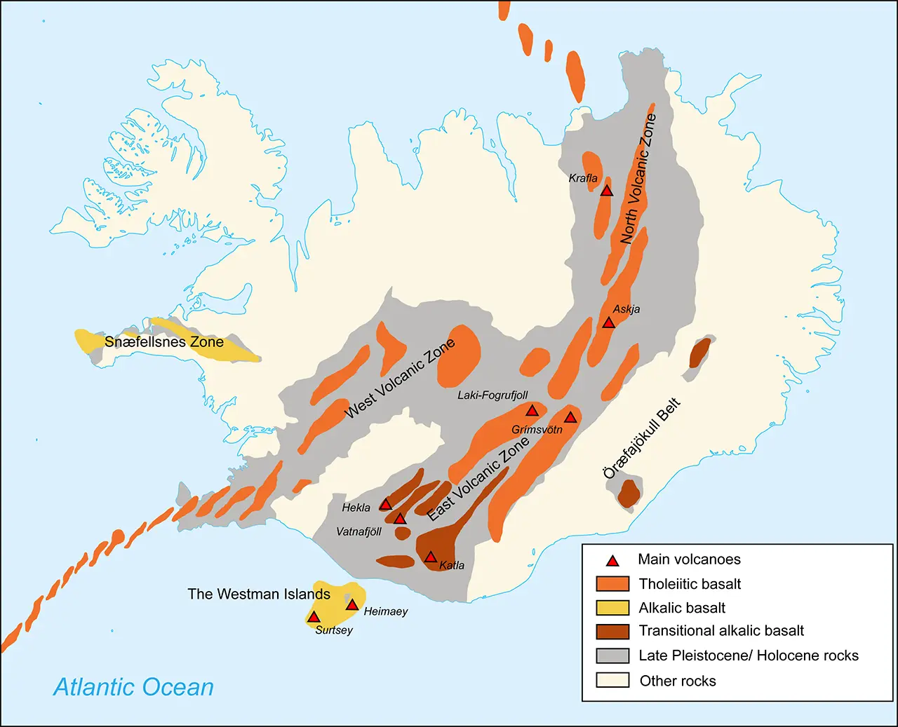
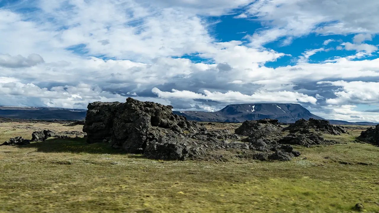
The map shows how Iceland’s volcanic zones run broadly from south to north through the island. Our journey from the east coast towards the west took us across the Northern Volcanic Zone. These photographs show places we visited and scenes that caught my eye through the bus window. Mountains, lakes, and much else made this a more varied landscape than the words ‘volcanic zone’ might suggest.
I explore how Iceland formed and how volcanic activity and climate have shaped its landscape on the separate page “Three Forces That Shape Iceland.”
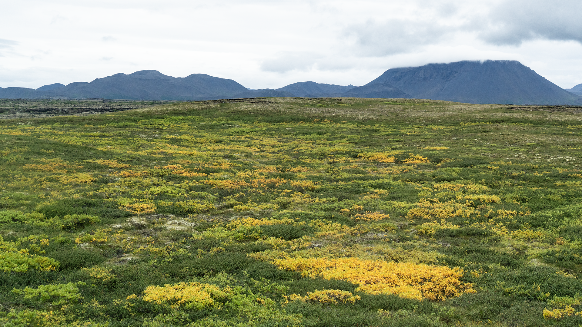
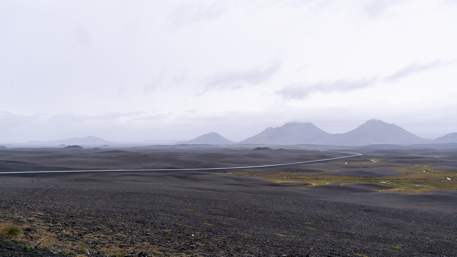
The Ring Road took us through the mountains from the east coast into northern Iceland. The scenery varied strikingly: black, barren ground along the road to Dettifoss, and patches of yellow that looked almost like flower meadows elsewhere along the drive.
Almost a meadow of flowers.
Black, barren ground on the way to Dettifoss.
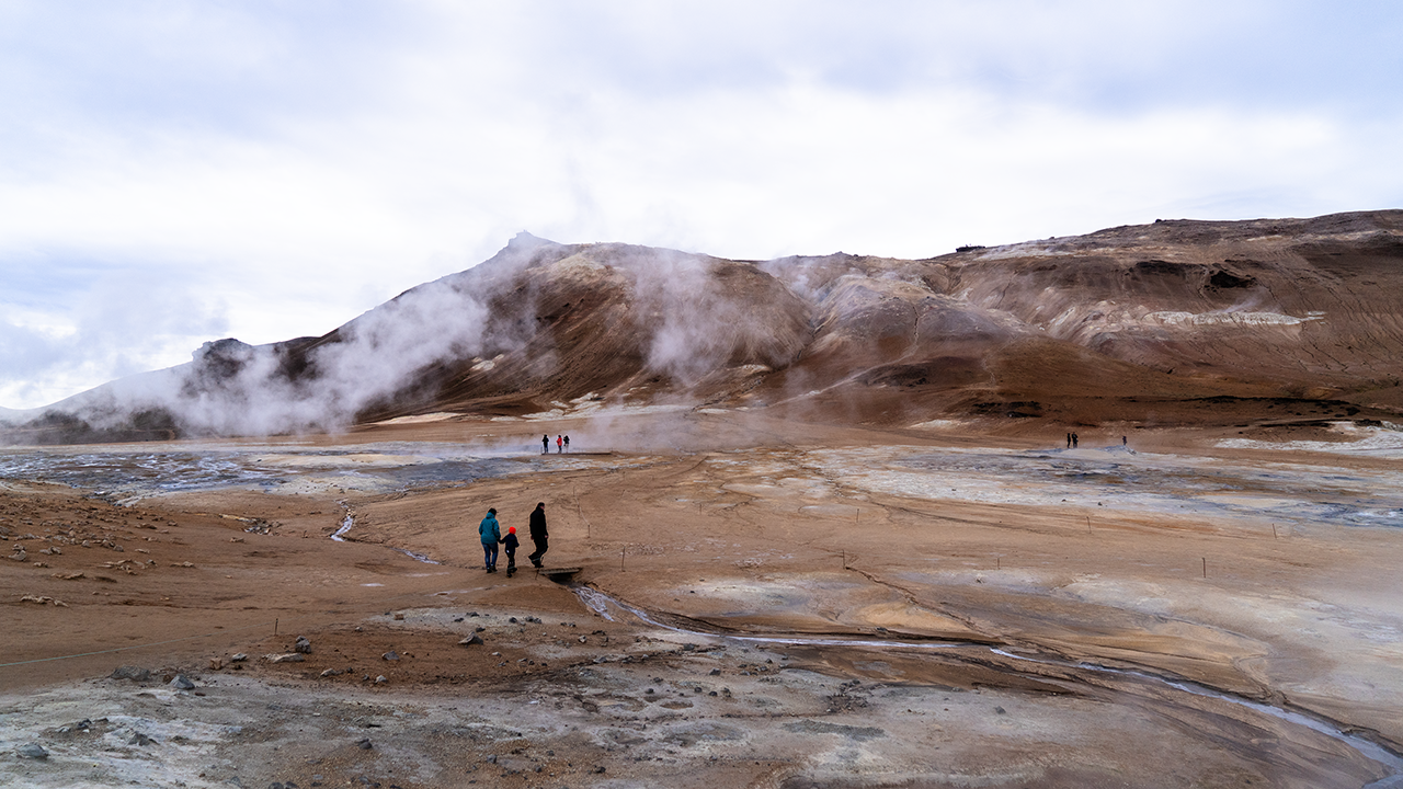
We visited Dettifoss, then continued west along the Ring Road. Reddish-brown hills appeared ahead on the left, with white steam rising from the ground. There was no mistaking this for anything but a geothermal area.
Námafjall–Hverir Geothermal Area
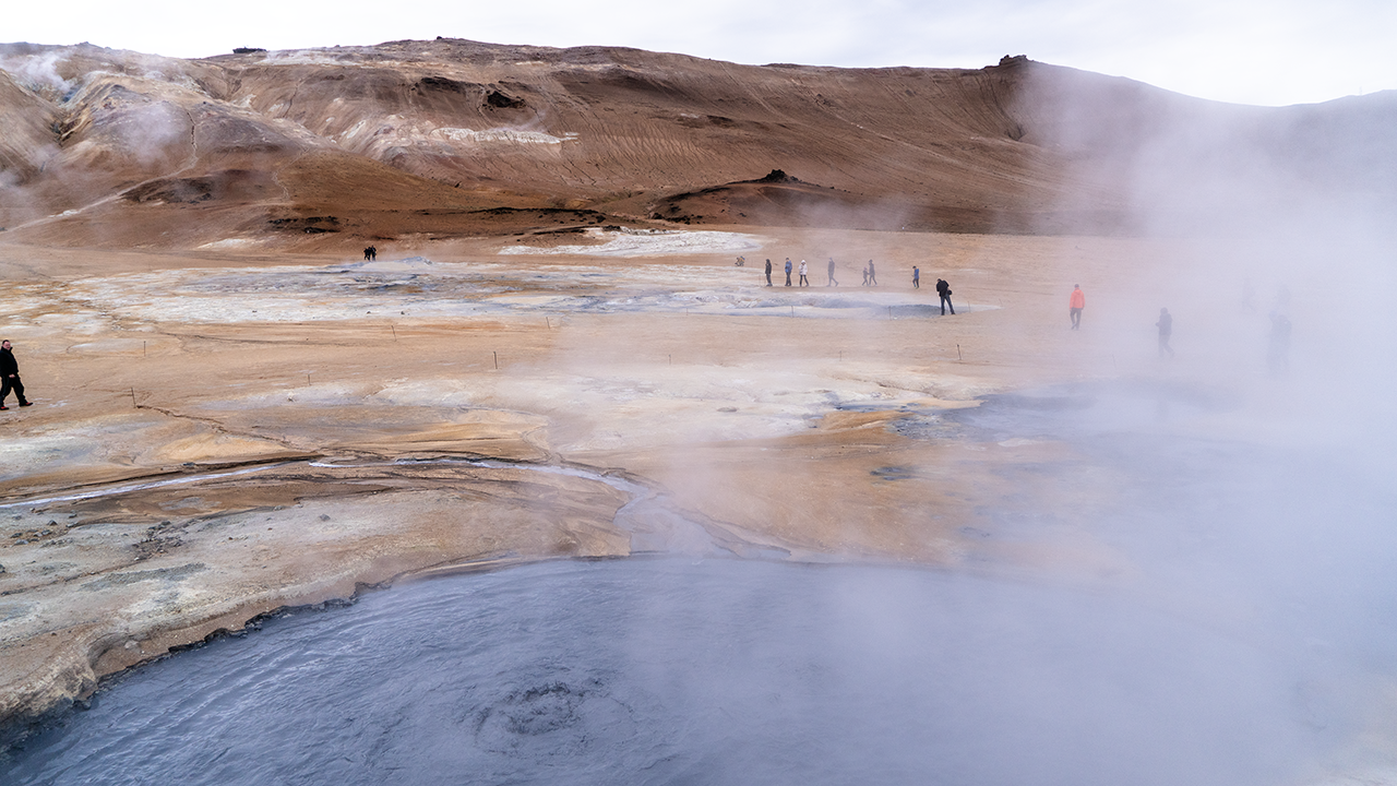
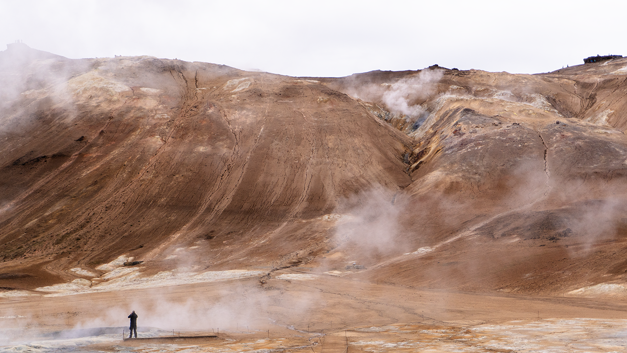
We turned left off the Ring Road and were almost immediately in the parking lot. A nearby viewing deck overlooked Mount Námafjall and Hverir, the geothermal area spread out at its foot. It reminded me of a smaller Owakudani in Hakone. Owakudani also owes its origins to volcanic activity, about 3,000 years ago, but the steaming vents and bubbling mud here seemed rather subdued by comparison. I could not say whether that was a matter of scale or the level of geothermal activity. The family resemblance was unmistakable, though.
Gray mud bubbled away in a pool just in front of the deck. Groundwater heated deep below, steam, and volcanic gases were finding their way to the surface. There was an information board on the deck explaining what was happening. The bubbling brought back memories of Beppu’s hot-spring “hells” and the Mud Volcano area in Yellowstone, although this seemed a gentler version.
I followed a roped-off trail a little way south, over occasional stretches of paving. The view did not seem likely to change much unless I climbed the mountain, so I soon turned back.
Hverir at a glance
Bubble, bubble…
More of the same…
We were quite used to this sort of scenery in Japan, but I wondered how it might strike someone from a country with few volcanoes. Perhaps it really would look like a glimpse of hell.
Víti Crater Lake at Krafla (Stóra-Víti)
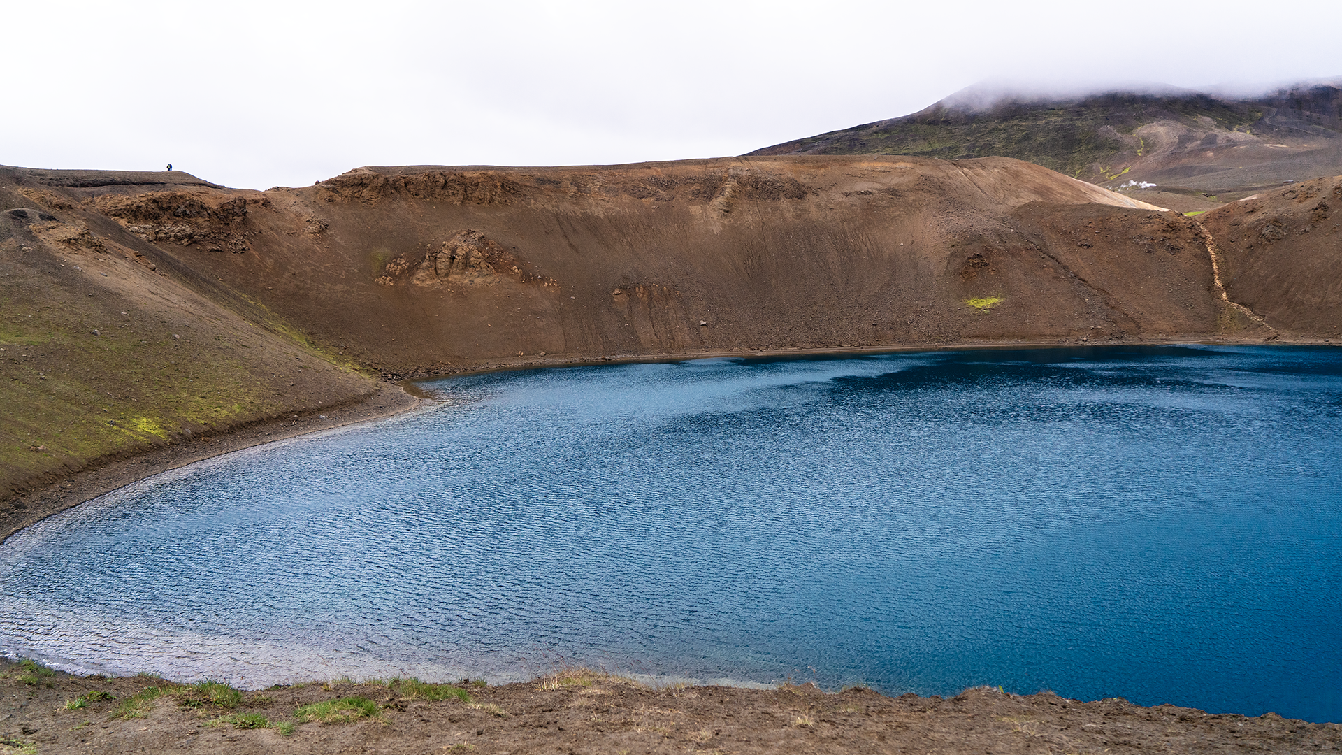
Krafla is a volcanic system with a caldera and a fissure zone extending north–south. Geothermal power stations and hiking trails lie nearby. Víti crater lake is less than ten kilometers north of the Ring Road, up a mountain road that gains about 200 meters in elevation. I had assumed that Víti meant ‘crater.’ It turns out to mean ‘hell.’ Beppu has its ‘hells,’ and Japan has places called Jigokudani—Hell Valley—too. Perhaps a landscape of steaming, seething earth prompts much the same response in either country.
A violent explosion in 1724 left this crater, about 300 meters across. The mud inside is said to have kept boiling for more than a century afterwards. Put that way, “hell” seems a reasonable name.
The water now is turquoise, or perhaps blue-green—hardly the color I would associate with hell.
Rather like Okama crater lake on Mount Zao in Japan.
Lake Mývatn
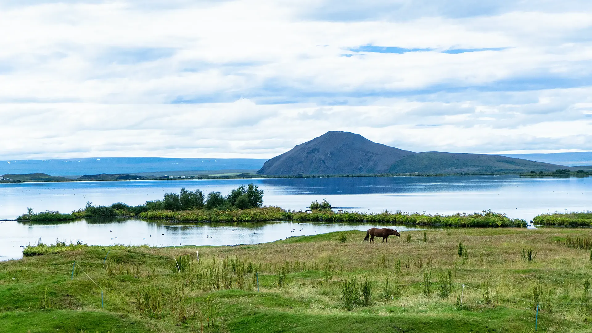
Mývatn had quite a different air from the places we had just visited. Yet lava had made this lake too. About 3,800 years ago, a large lava flow blocked a river, forming the lake. The lava continued northwest, reportedly reaching the northern sea. Another eruption, about 2,300 years ago, sent lava out along a roughly 12-kilometer fissure south of Hverfjall, the crater described below. It covered part of the lake and is said to have continued down the valley to the sea as well.
The lake is remarkably shallow, with an average depth of only about 2.5 meters. It has no large river flowing into it; springs provide most of its water.
The name Mývatn means “lake of midges.” These little flies resemble mosquitoes but do not bite, though they can gather in great swirling clouds.
Volcanic origins or not, the scene could hardly have been more peaceful.
Hverfjall (Hverfell)
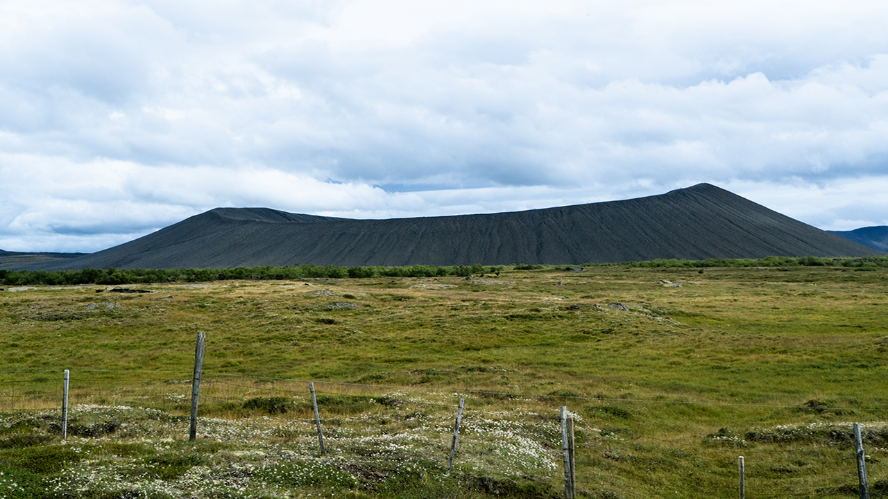
A black hill was visible from the Ring Road. Even from a distance, its hollowed-out summit made it look more like a crater than a mountain.
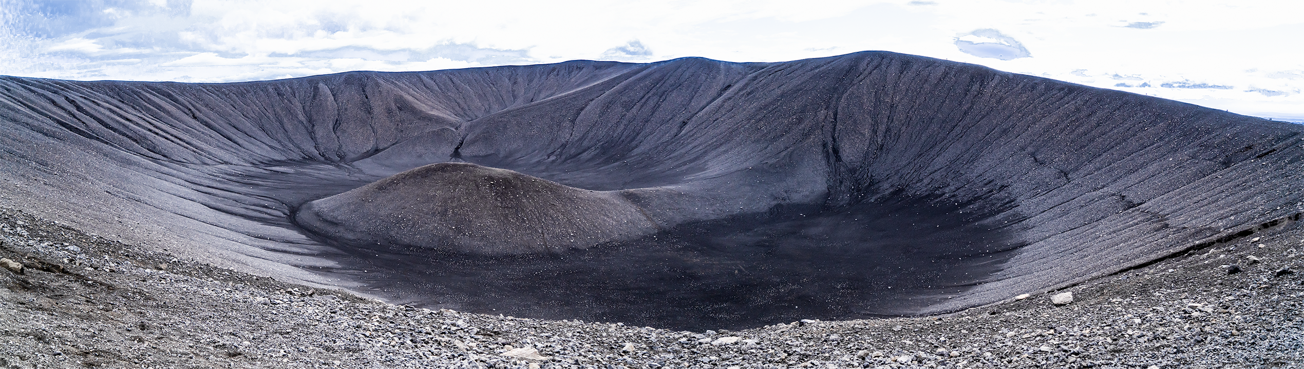
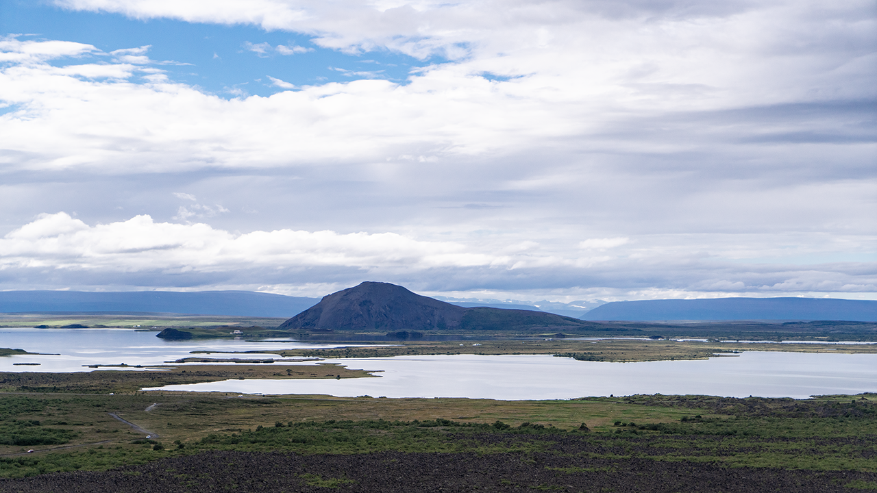
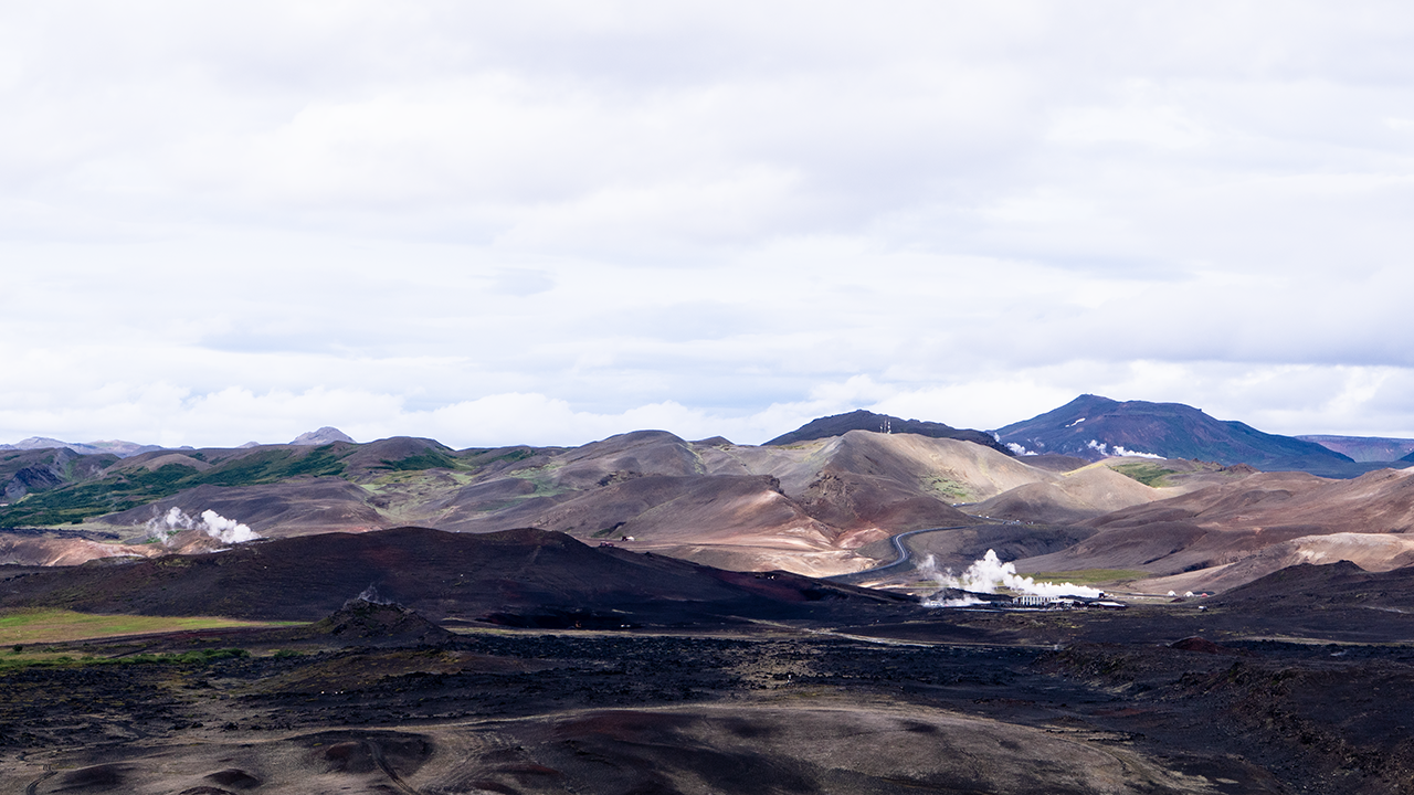
The path climbed diagonally from the parking lot, gaining about 150 meters over a distance of roughly 600 meters. At the top, I looked into an enormous bowl, or perhaps a speaker cone pointing straight upwards. Quite a sight. Lake Mývatn spread out to the west. Several plumes of steam rose to the north, where I could also make out what looked like a geothermal power station.
A black hill from the road
A crater!
Lake Mývatn from the rim
Steam and a power station to the north
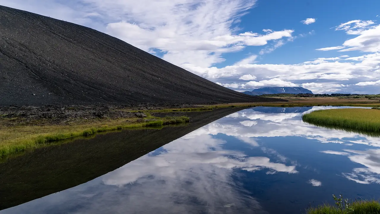
Reflections below the crater
Back at the foot of the crater, I noticed a pond tucked against the slope, its surface a perfect mirror. It made an interesting composition, I thought.
Hverfjall is generally described as having formed about 2,500 years ago in a phreatomagmatic eruption. Magma rising from below met the abundant groundwater here, triggering violent explosions. The shattered material fell back around the vent as ash and coarser fragments, building this remarkably regular crater. Some 200 years later, an eruption sent large quantities of lava out along fissures to the south, filling part of the old Mývatn and shaping the lake we see today. That brings us back to the lake’s history.
Apollo astronauts came to Iceland in the 1960s to train in geology and practice collecting the kinds of samples they would bring back from the Moon. It brought to mind those “Moon rocks” they brought back. Neil Armstrong is said to have visited the Mývatn area too. The landscape here looked so unlike the familiar Earth that I could understand the choice of Iceland as a training ground.
I came across several accounts placing that training at Hverfjall itself, sometimes illustrated with photographs that encouraged the same impression. But I could find no reliable record confirming that particular location. The rocks I saw here, and its character as a sightseeing spot, made me doubtful too. I suspect the claim about Hverfjall is mistaken.
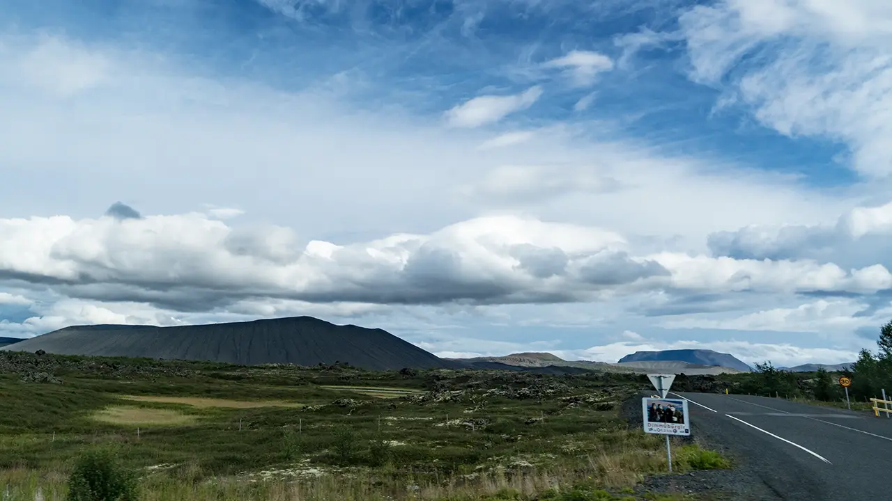
The first photograph below was taken at the junction of the Hverfjall side road and Route 848. It shows the crater from the west, surrounded by lava fields, with a sign pointing to Dimmuborgir. There are apparently walking paths among its strange lava pillars and other rock formations, but we did not visit. The whole drive made it clear just how thoroughly volcanic activity had shaped this land. The hill in the distance, straight ahead, is Lúdent. Like Hverfjall, it is said to be a crater formed when magma met water, though it is older.
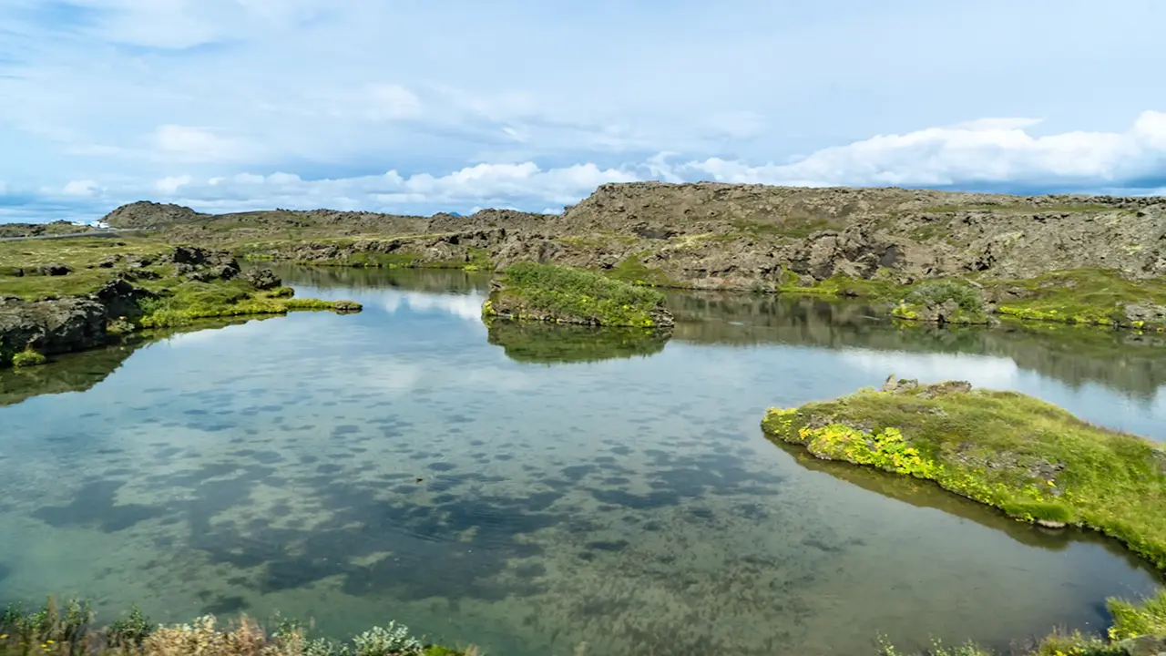
A pond appeared on the left a little farther along, seemingly cut off from Lake Mývatn on our right. I later read that springs fill it and the excess water flows into the lake. There were also outcrops that looked like lava pillars. Water, rock, and the shapes of the land: volcanic activity had left its mark on everything.
We then stopped at Goðafoss. I have included it here alongside the Northern Volcanic Zone, since we visited it on the same day.
Goðafoss
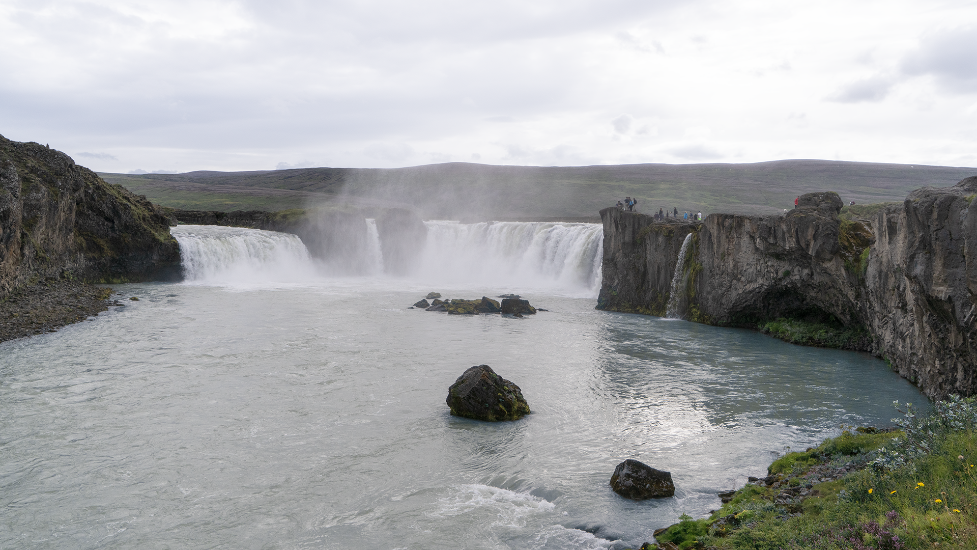
Goðafoss was only a short walk from the parking lot beside the Ring Road. A path continued to the brink of the falls, but we did not have time to go that far. I took my photographs from the nearer viewpoints.
The facilities, including the parking lot, seem to have been completely renewed since our visit, judging by Google Maps. I remember a rather forlorn place with very little there.
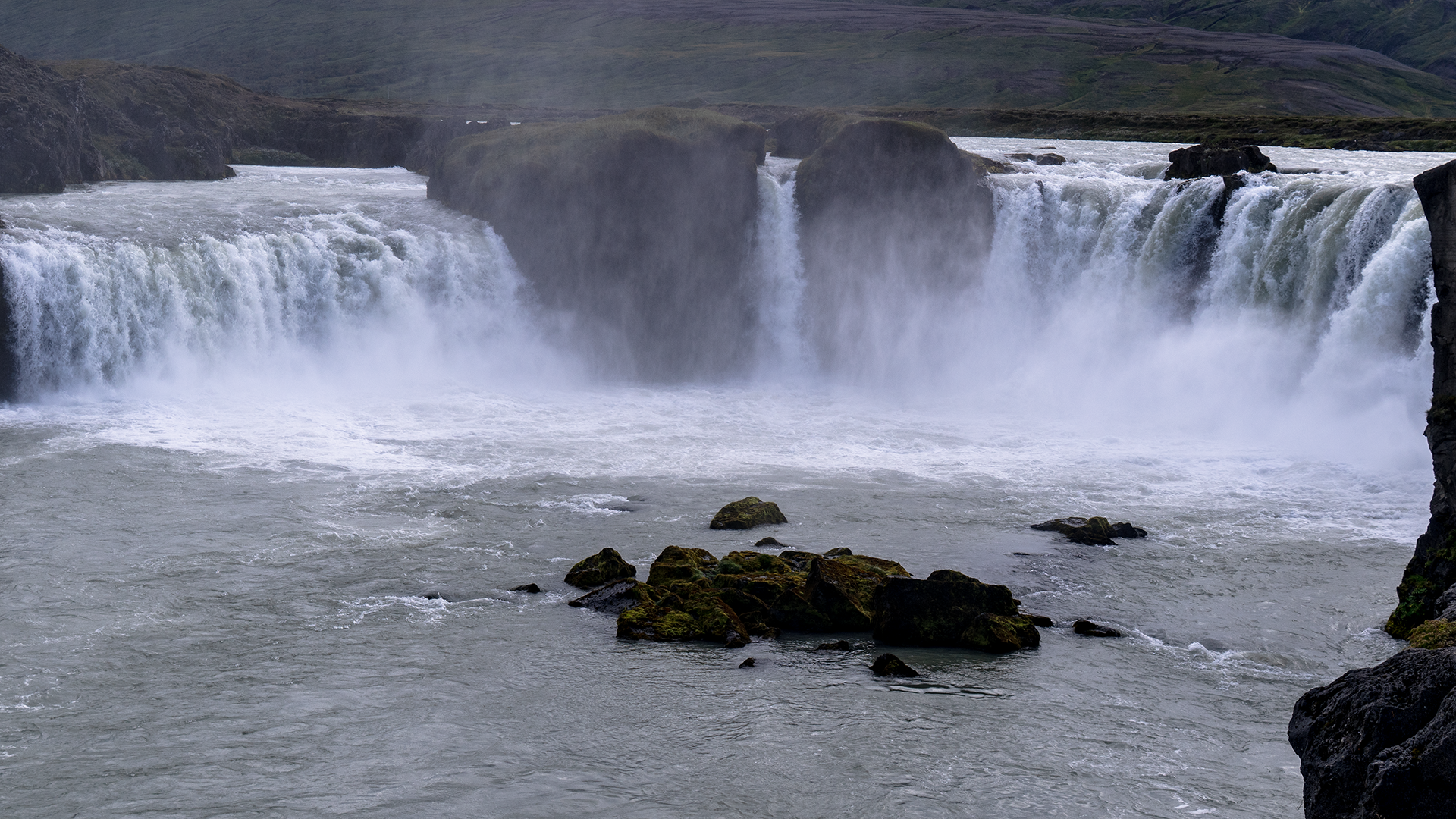
Goðafoss lies on the Skjálfandafljót, a long river flowing north from the central highlands. Here, a stretch of level ground suddenly gives way to a drop. The falls are about 9–17 meters high, depending on the section, and roughly 30 meters wide. An impressive sight in its own right, though it felt rather small after Dettifoss.
An information board by the parking lot told the story behind the name Goðafoss, the “waterfall of the gods.” Around AD 1000, the Alþingi, Iceland’s national assembly at Þingvellir, adopted Christianity as the country’s official religion. A local chieftain who served as its lawspeaker is said to have thrown his statues of the old gods into the falls afterwards, giving them their name. It is a memorable story. The interesting part is that this episode apparently does not appear in contemporary records: it only turns up in writing in the 19th century. So it seems to be a later legend, rather than a documented event from a thousand years ago. That gave me another reason to find the information board interesting.
Our journey around the Ring Road continued towards the northwest.