Volcanoes and lava fields. Geysers and rising steam.
Glaciers and quiet lagoons. Waterfalls and ice glittering on black sand.
A land pulled apart by the slow movement of the Earth,
its landscapes still taking shape.
An Iceland Odyssey
April and August 2016
Powered by Google Translate
This was Iceland—one breathtaking view after another.
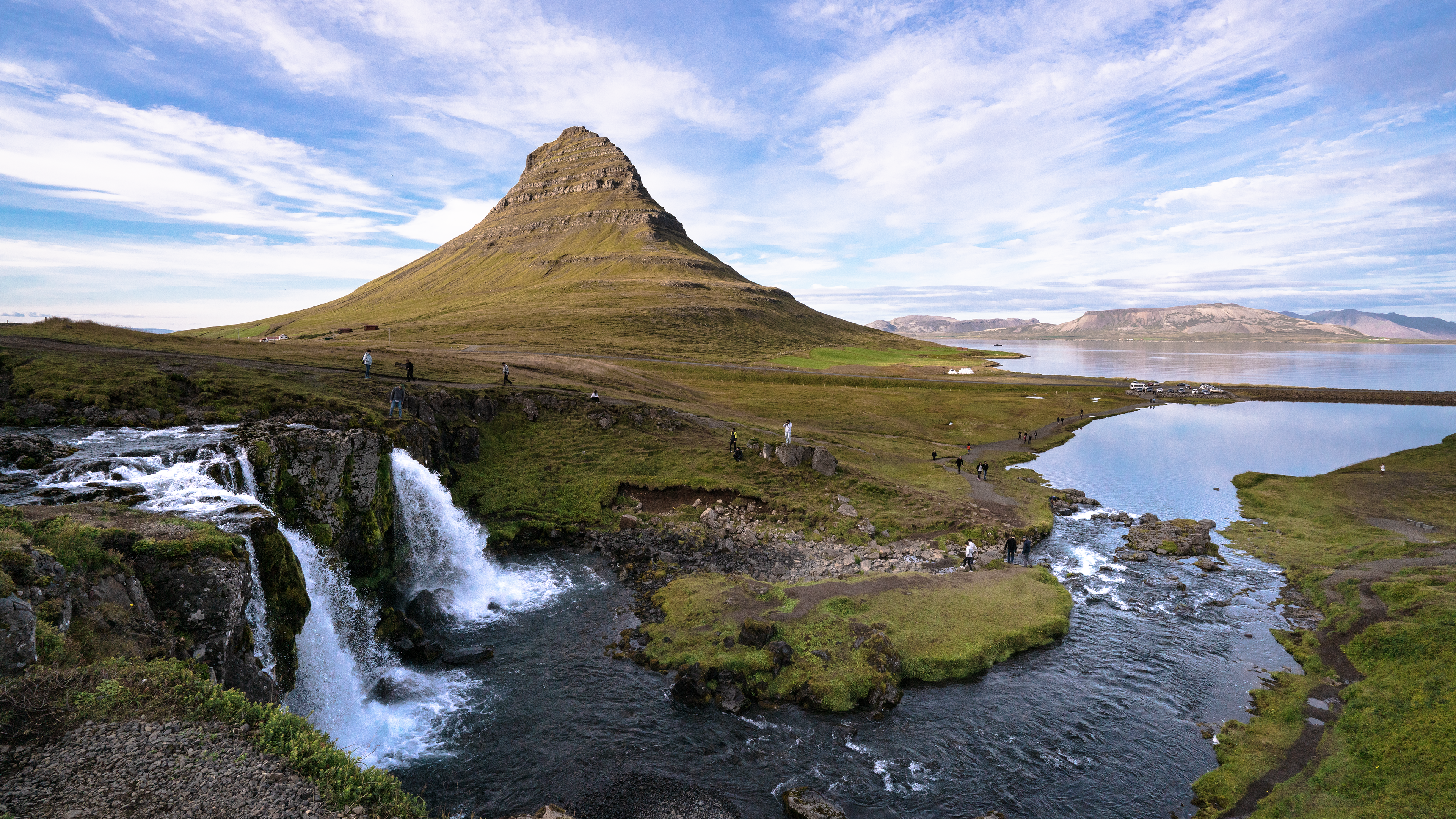
Kirkjufell
In August 2016, we went to Iceland for our summer holiday. I had traveled there on my own that April, and when my wife saw the photographs, she announced:
“That’s our summer holiday sorted. We’re going to Iceland!”
We didn’t have much time to plan. Looking through the photographs together, I asked,
“So, where do you want to go?”
“Everywhere! Can’t we go all the way round? That’s a lot of driving, though, and we’d spend ages trying to find all these places. Why don’t we join a tour? Something adventurous, with a small group. It’d be fun getting to know the others, like we did in the Galápagos. See what you can find!”
And just like that, I had my assignment.
Back then, I was used to booking through travel agents, partly because of my work. With little time to organize the trip, we followed HIS’s recommendation and booked a seven-day Ring Road tour with the local operator Nice Travel.
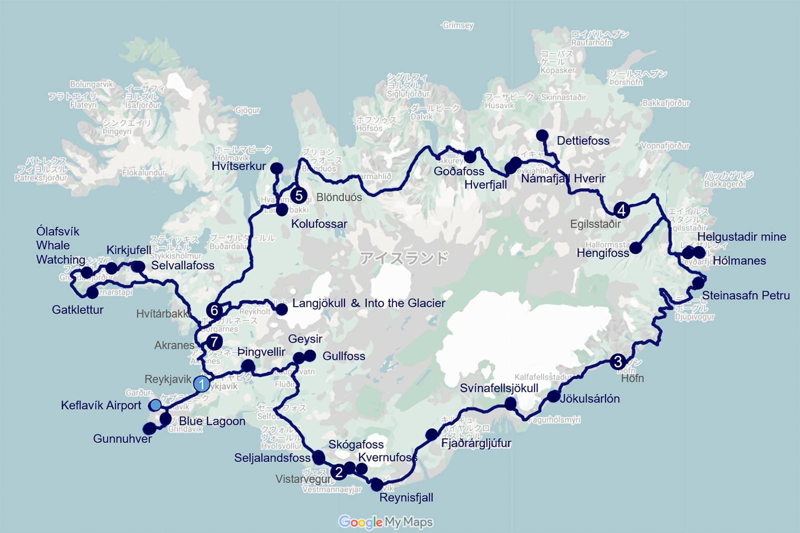
- Day 1 (Fri)Arrival in Reykjavík
- Day 2 (Sat) Planned sightseeing in Reykjavík
- Day 3 (Sun)Bus tour begins: the Golden Circle
- Day 4 (Mon)Along the South Coast to Jökulsárlón
- Day 5 (Tue)The Eastfjords
- Day 6 (Wed)Dettifoss and the Mývatn area
- Day 7 (Thu)Hvítserkur and Langjökull
- Day 8 (Fri)Whale watching and Kirkjufell
- Day 9 (Sat)The Blue Lagoon and Reykjanes
My April trip had been mainly confined to the south, which the August route largely covered, so I decided to organize this travelogue around August's itinerary. April, however, had much more lingering snow and a very different atmosphere. As I was driving a rental car myself, I also stopped for many photographs along the way. Adding those images has, I think, given the account greater variety.
A Note on Place Names
Icelandic place names are still mostly unfamiliar to me, even after writing about these journeys. In this Iceland Photo Journey, I generally use their original spellings, such as Reykjavík and Þingvellir, adding English terms where helpful—for example, Lake Kleifarvatn or Fjaðrárgljúfur Canyon.
For places widely known by English names, I use those familiar names, such as the Golden Circle, the Blue Lagoon, and Diamond Beach. Occasionally, I include the Icelandic name in parentheses after the English name, as in Bridge Between Continents (Brú Milli Heimsálfa).
And if there is an Icelandic place-naming committee, may I put in a word for more names like Diamond Beach? That one I can remember.
This account brings together my two trips to Iceland in April and August 2016. With more than 300 photographs, it has become rather long.
This page presents the entire travelogue in the order of the journey, including scenes and events along the way. For readers who prefer to browse by photograph or place, I have also organized Iceland Photo Journey into areas and themes. Those pages are not simply slices of the complete account: the itinerary has been streamlined and the material reorganized around photographs and introductions to individual places.
Reykjavík
Before setting off on the bus tour, we spent two nights in Reykjavík to recover from the flight and explore the city. I also hoped to take the helicopter tour on my own this time, after it had been canceled by bad weather in April. That was the plan。
What happened? The Thursday before leaving Japan had been a chemotherapy day, and the high fever I had feared as a side effect duly arrived. I was almost certain it would subside within a day, but I could not go anywhere that day. I thought I had missed my second chance at the helicopter tour and would have to pay the cancellation fee. Then the operator contacted me: poor weather aloft had canceled the flight again. I received a full refund. At least that was one small consolation.
My wife looked after me, bringing ice and buying food. I could only be grateful. There was no need for her to stay shut in the hotel room with me all day, though, so she went out to explore the city on her own.
The photographs here are a mixture of hers and ones I took in April.
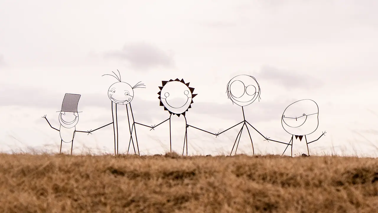
Artwork that welcomed me before I entered Reykjavík
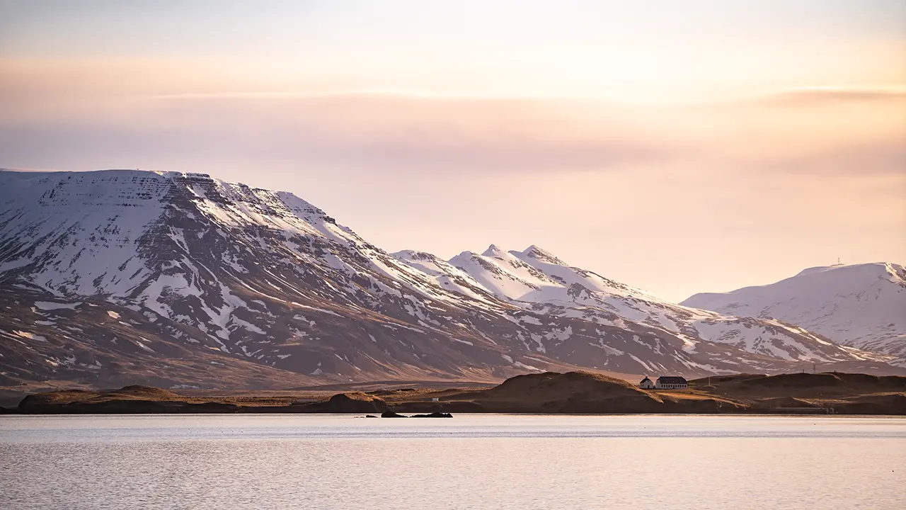
An evening view from the shore near the city center:
Mount Esja
Mount Esja
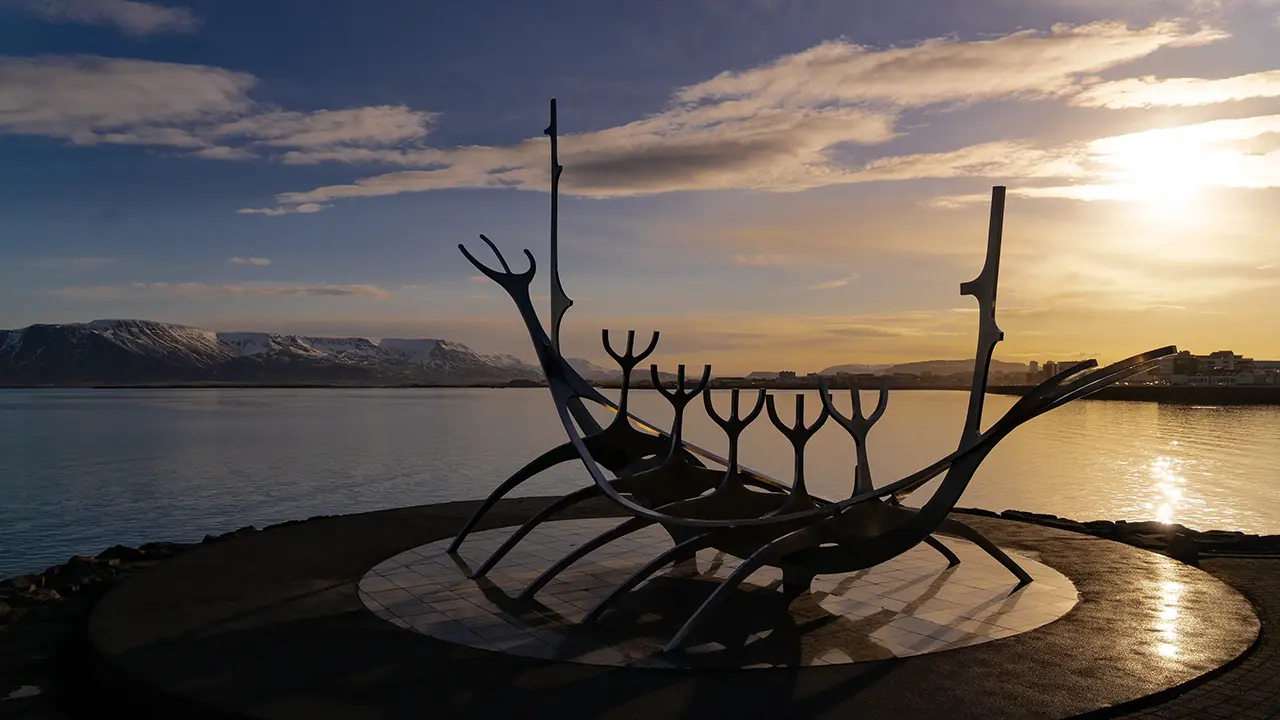
The Sun Voyager sculpture
(Sólfarið) on the waterfront promenade
(Sólfarið) on the waterfront promenade
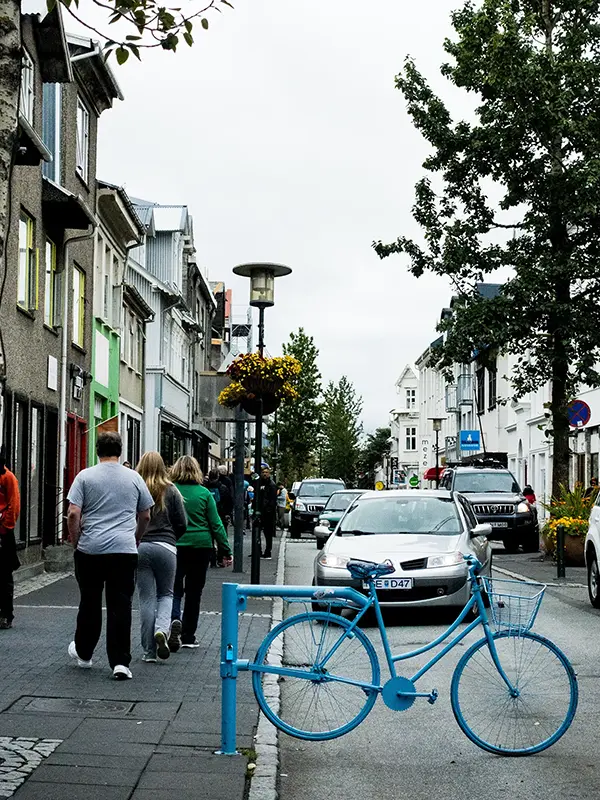
A rather stylish little bollard in the city center
Photo by my wife
Photo by my wife
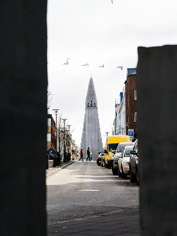
Looking along Skólavörðustígur towards
Hallgrímskirkja
Hallgrímskirkja
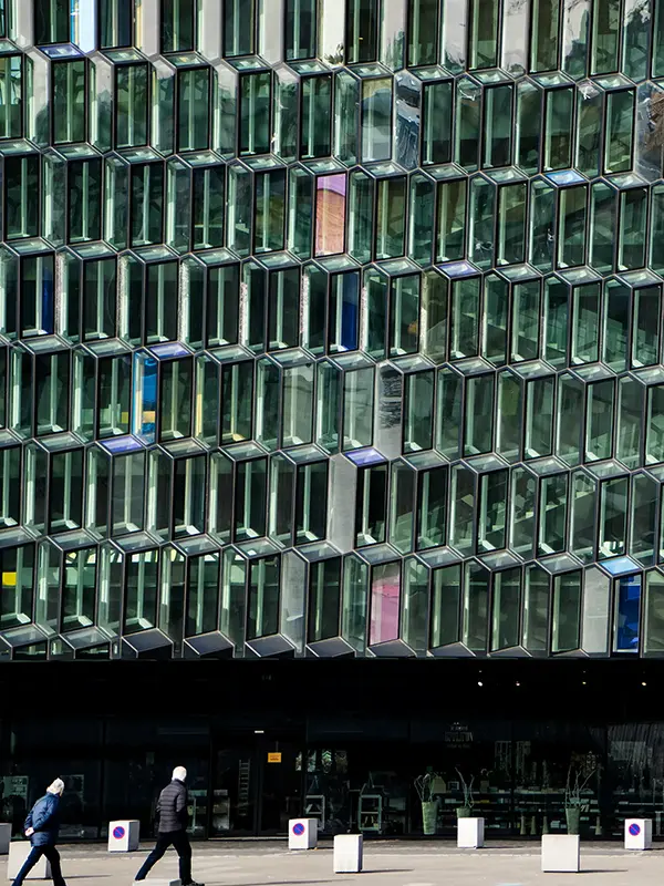
Harpa Concert Hall and Conference Centre
Its beautiful façade was inspired by basalt columns
Its beautiful façade was inspired by basalt columns
Around 60% of Iceland’s population apparently lives in the Reykjavík capital region, but the city felt quiet and close to nature, with few tall buildings. The center was easy to explore on foot, and the shore was never far away. Well-kept paths made walking along the water a pleasure, with Mount Esja rising across the bay—a view that, to me, captures Reykjavík.
We stayed at STORM Hotel in August; in April, I stayed at Skuggi Hotel. Both are part of the same local hotel group, with a simple, modern Scandinavian style. Best of all, they were close enough to the shore for an easy stroll.
The Golden Circle (Gyllti hringurinn)
By the next morning I had fully recovered, and we set off as planned on the minibus tour. It was a small group of eight: an American family, a Chinese woman traveling alone, my wife and me, a Spanish guide, and a Polish driver.
We left Reykjavík to explore the Golden Circle, with Þingvellir as our first stop. Through the minibus window, one striking landscape after another caught my eye. The tour left little time to stop for photographs along the way, so I have included some scenes I had stopped to photograph on my April trip.
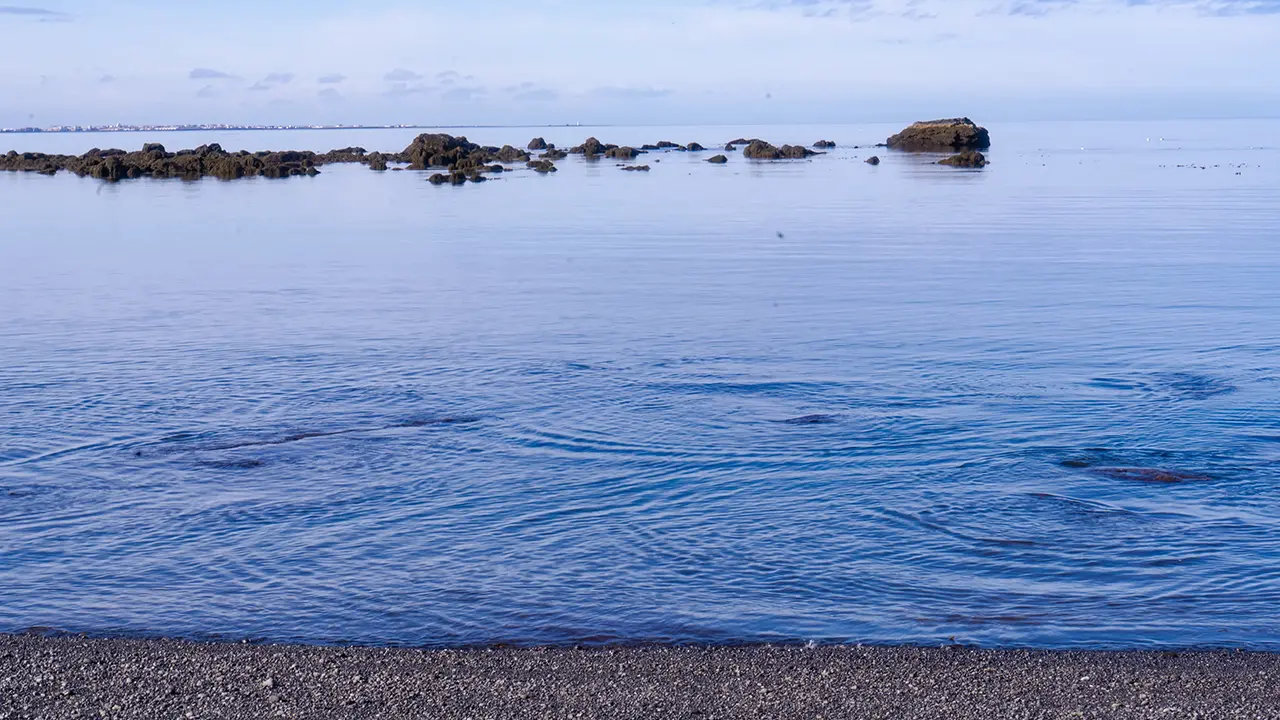
A bubbling shoreline—perhaps hot springs emerging?
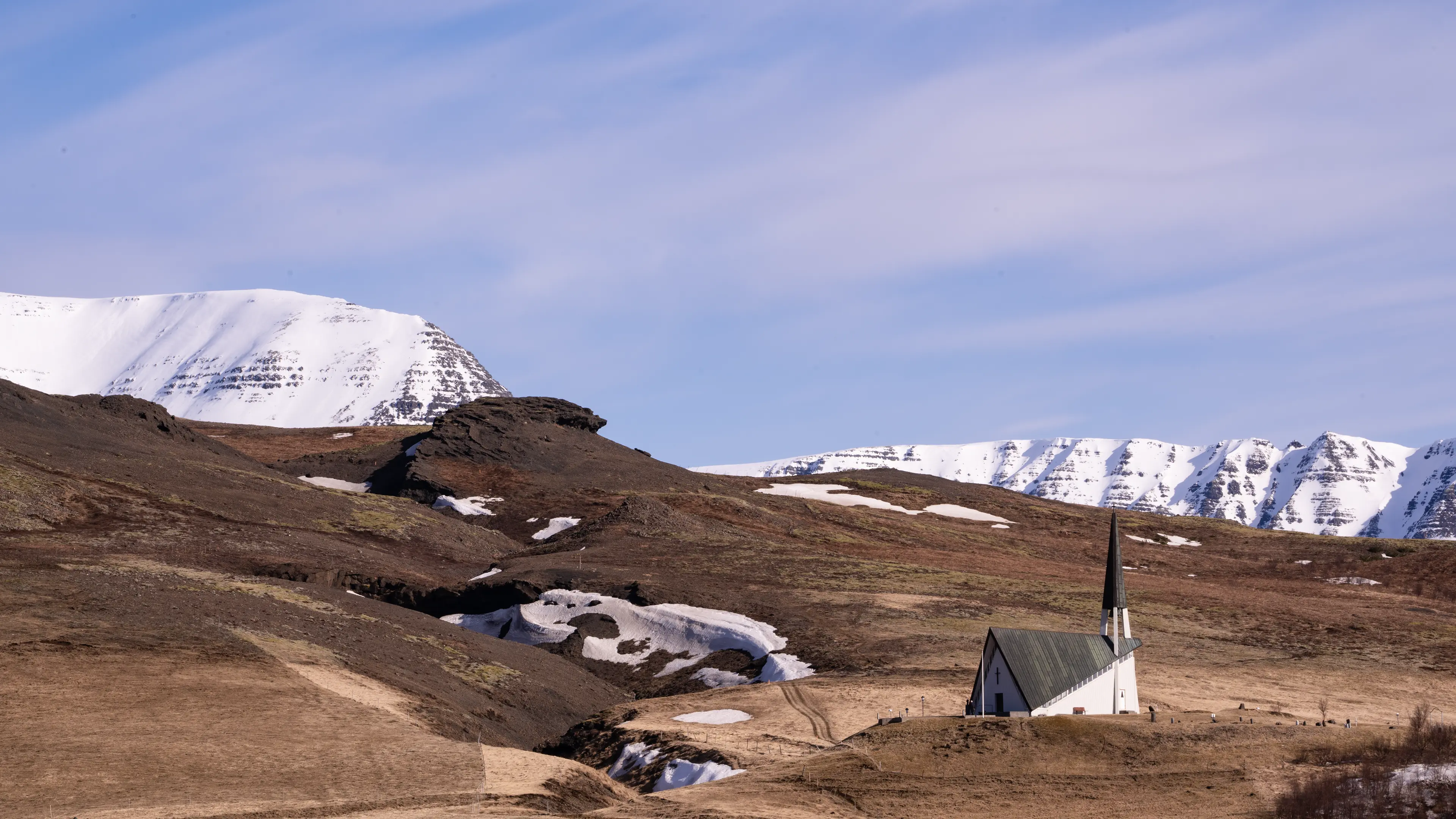
Mosfellskirkja church
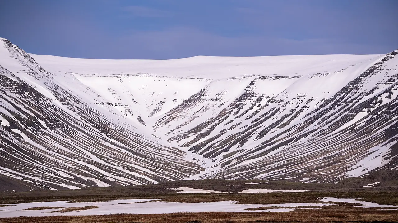
Striking bands in the landscape:
the U-shaped valley of Mosfellsdalur
the U-shaped valley of Mosfellsdalur
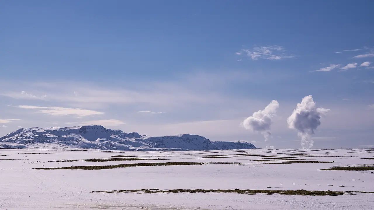
The Hengill volcanic area and
columns of steam rising from Nesjavellir geothermal power station
columns of steam rising from Nesjavellir geothermal power station
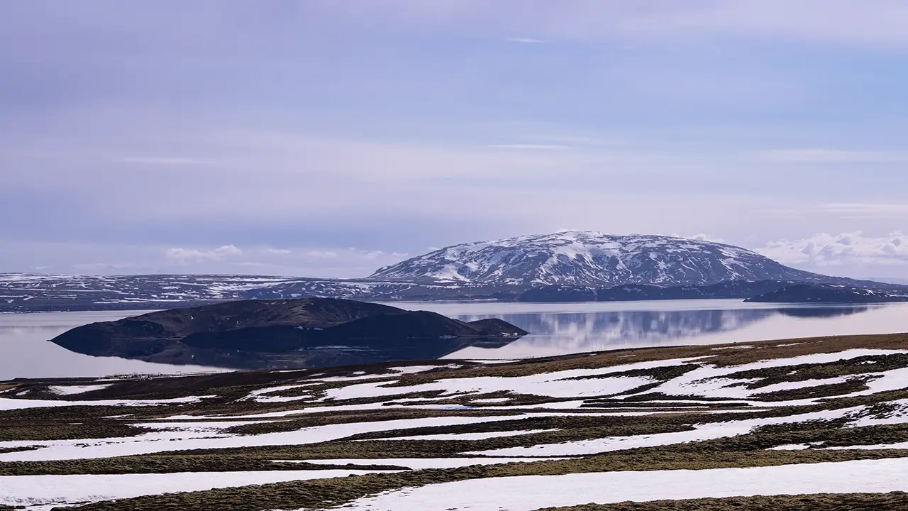
Lake Þingvallavatn and
the island of Sandey
the island of Sandey
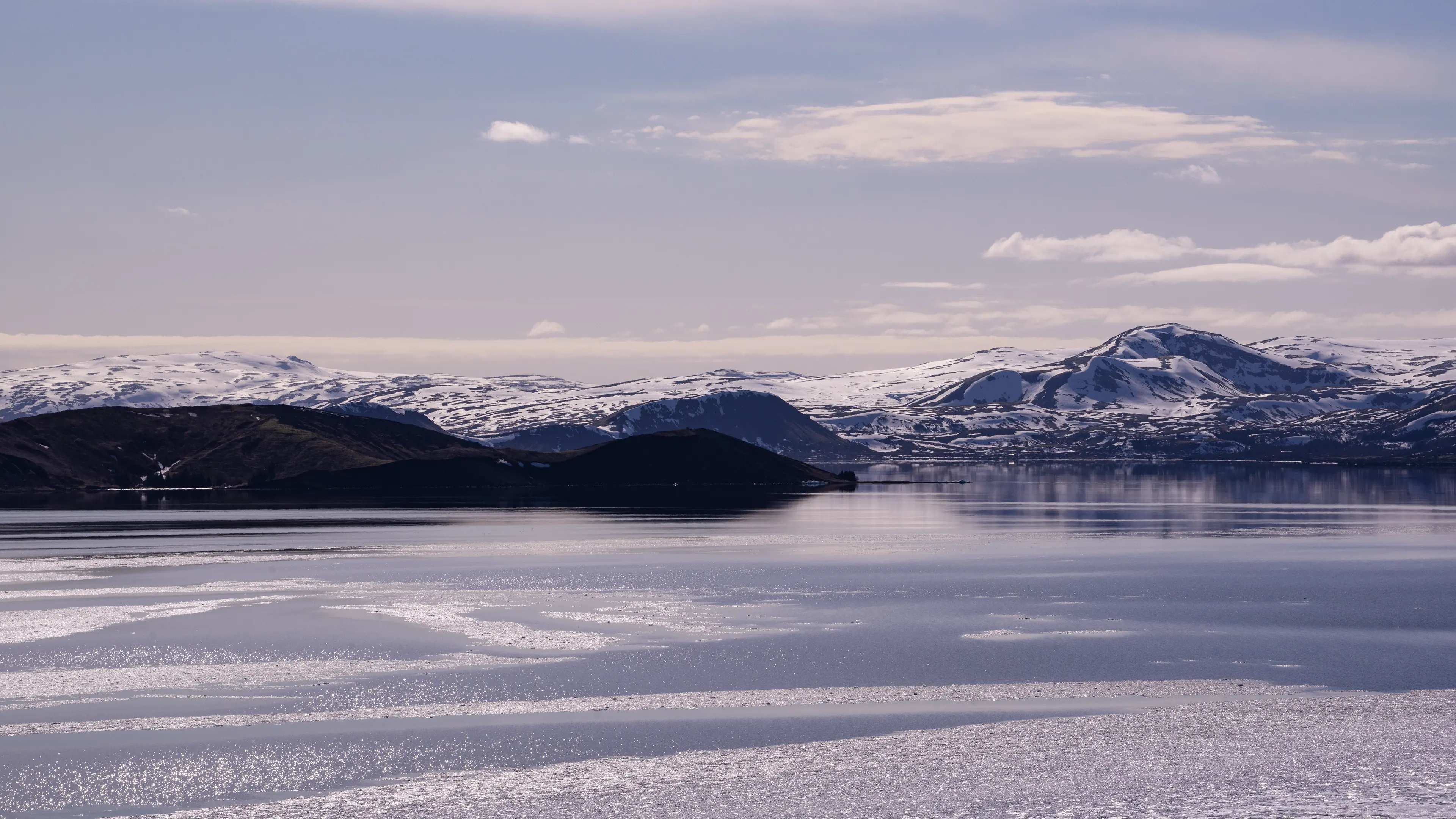
Lake Þingvallavatn
Soon after passing Lake Þingvallavatn, we arrived at Þingvellir.
Þingvellir
Þingvellir National Park is a World Heritage Site, recognized for its cultural rather than natural significance. Around AD 930, Iceland’s national assembly, the Alþingi, was established here. People gathered in the open air to make laws and settle disputes. This early system of government, and the place where it took shape, remain an important part of Iceland’s history and cultural identity.
The scenery, however, would be reason enough to visit. I began at Hakið lookout near the entrance, taking in the landscape before descending to the foot of Almannagjá. Walking north along the cliff, I passed Lögberg, the focal point of the old assembly. Here, the landscape itself is said to have helped speakers address the crowd: the rock wall behind them reflected their voices out towards the listeners.
Farther along was Öxarárfoss, where the Öxará River drops over the Almannagjá cliff. At about 13 meters high and 6 meters wide, it is a modest waterfall, but its story is more surprising than its size. According to historical accounts, people diverted the river around the 10th century to bring drinking water closer to the assembly grounds. By changing the river’s course, they also created the waterfall in the position we see today. What looks like a purely natural feature is thus said to owe its location to an early engineering project.
I had skipped Öxarárfoss on my solo visit in April because I did not fancy walking there and then retracing my steps. In August, our minibus drove ahead to meet us at the other end of the walk—one of the conveniences of joining a tour.
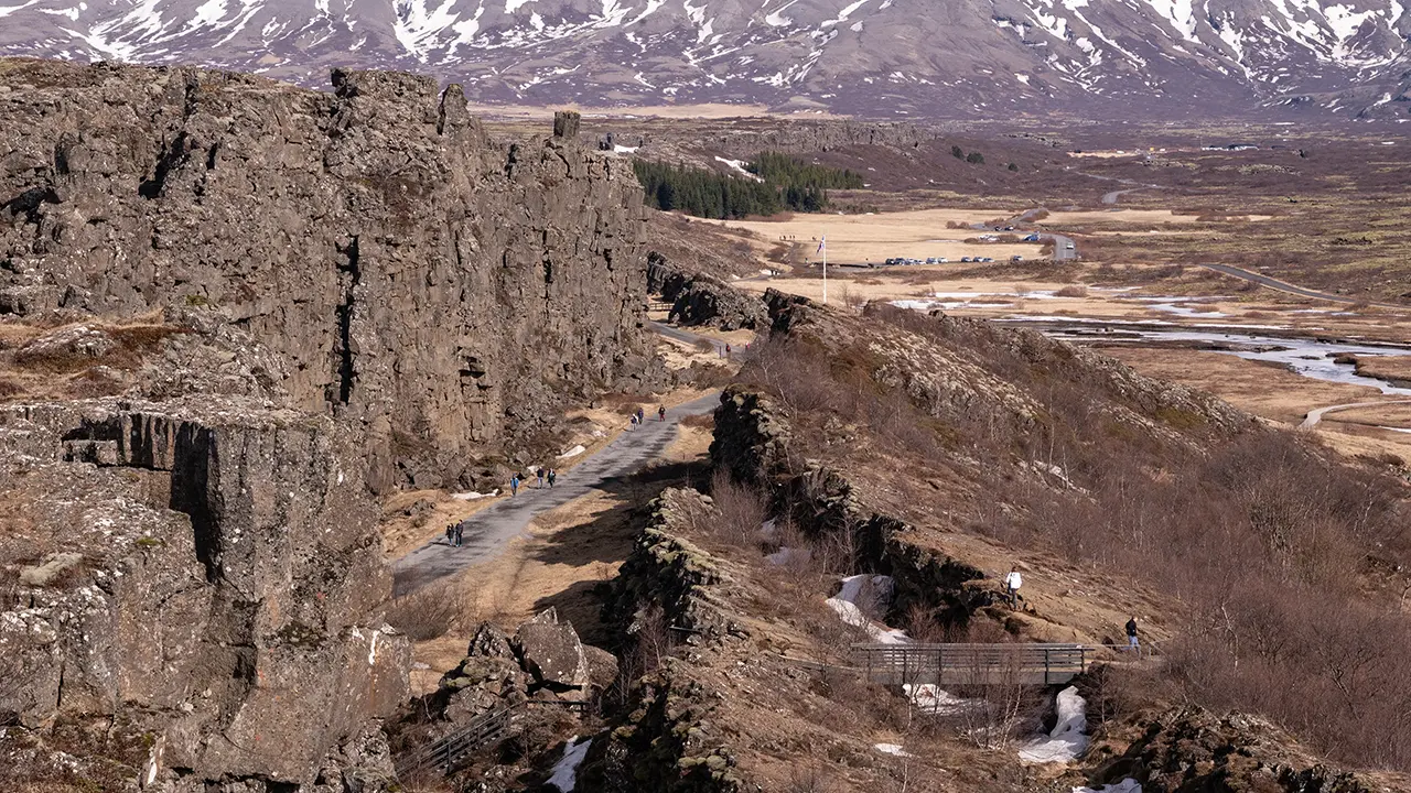
The path along Almannagjá, seen from the lookout.
Lögberg is also visible.
Lögberg is also visible.
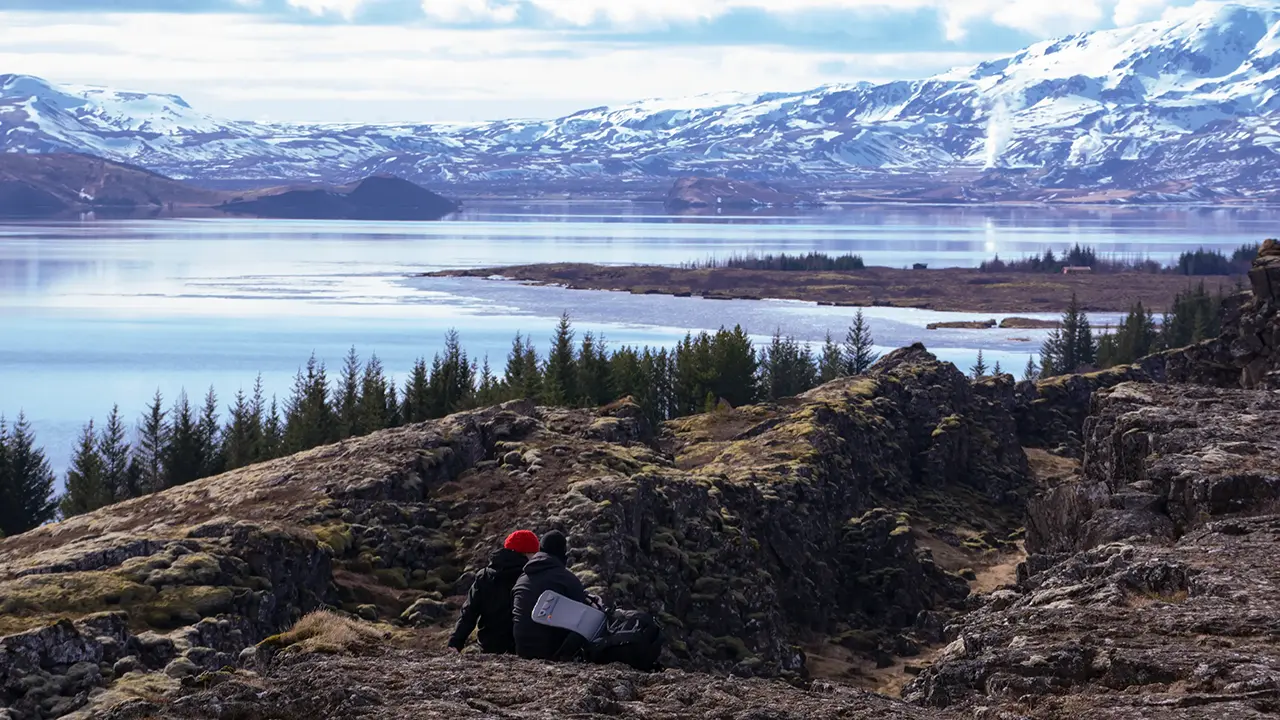
Looking south over Lake Þingvallavatn.
Steam from a geothermal power station can be seen in the distance.
Steam from a geothermal power station can be seen in the distance.
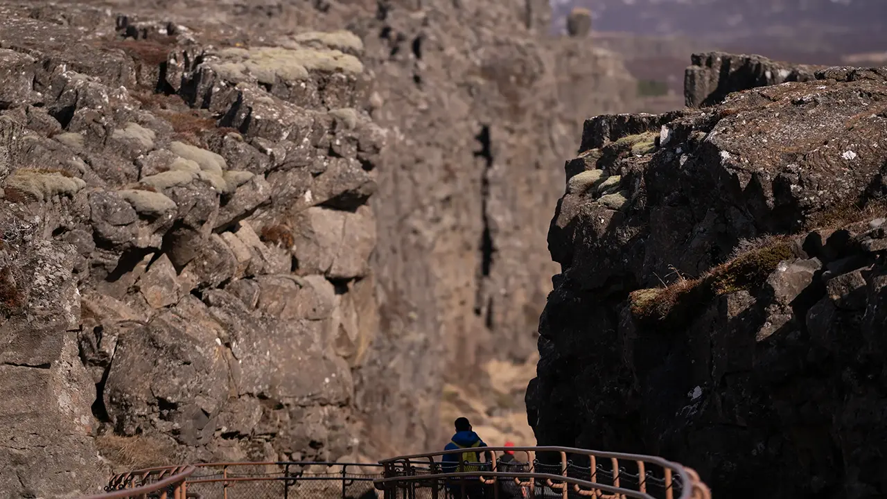
Descending from the lookout.
I like the contrast between the cliffs on either side and those beyond.
I like the contrast between the cliffs on either side and those beyond.
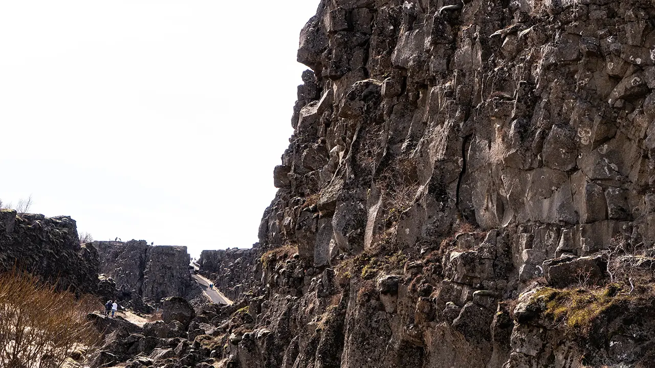
Looking back towards the lookout from the path, in April.
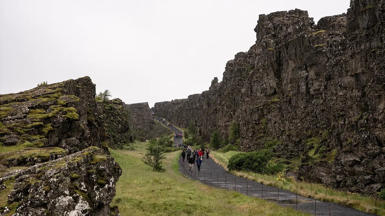
A similar angle in August
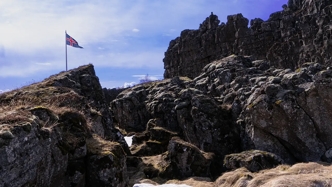
Lögberg, marked by the Icelandic flag
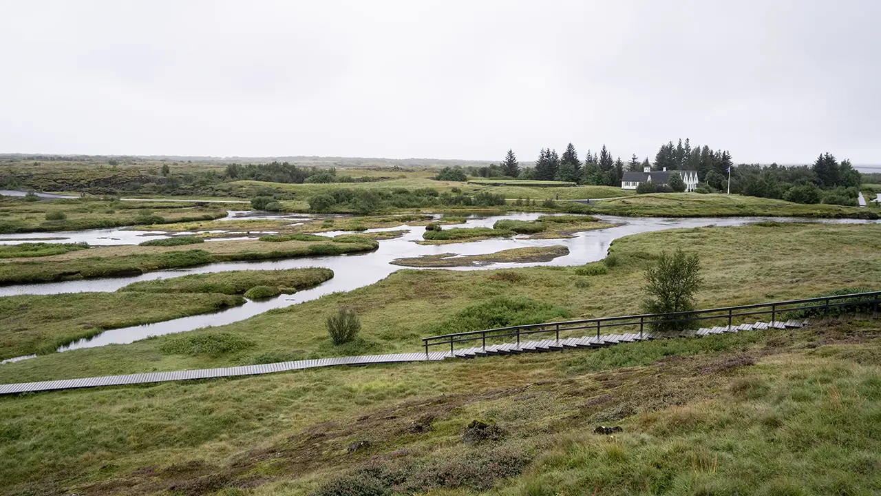
Looking south from near Lögberg. Silfra should
be visible, I think, but I cannot identify it.
be visible, I think, but I cannot identify it.
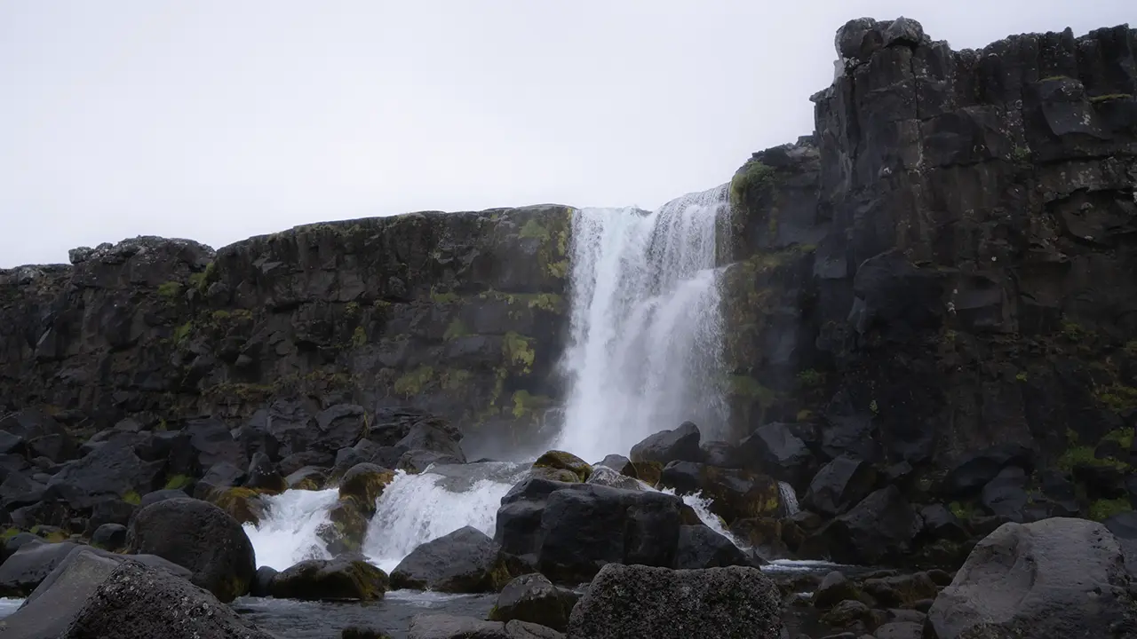
Öxarárfoss
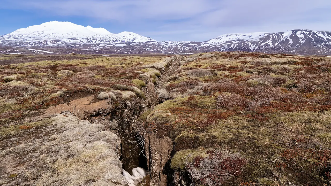
A single fissure in the middle of the plain.
Geological Observations and Notes

Source: Þingvellir National Park official website
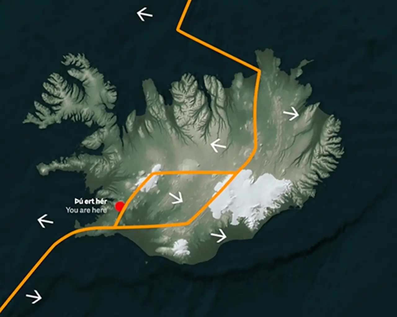
Source: Þingvellir National Park official website
Source: Wikipedia
The history and scenery would be enough to draw me here, but what fascinated me most was seeing the movement of the Earth’s crust written into the landscape. Iceland straddles the Mid-Atlantic Ridge, where the North American and Eurasian plates are slowly moving apart—at an average rate of about two centimeters a year. At Þingvellir, however, there is no single crack marking the boundary between them. Instead, the ground is stretched and broken across a broad zone, with faults and fissures such as Almannagjá and Hrafnagjá. As the land pulls apart, parts of it sink, forming the rift valley before us. These cliffs and cracks are the visible traces of that movement. For a closer look at how this landscape is taking shape, see Tectonic Movements on the national park's official website.
These fissures are known in Icelandic as gjár (singular: gjá). Some, like Silfra, are filled with remarkably clear water. Others cut dark lines across the open plain. The ninth photograph above, which I took in April, shows one of them—a claw mark left by the gods in the earth, or so it seemed to me.
But the separating plates tell only part of Iceland’s story. Why does this stretch of the Mid-Atlantic Ridge rise above the ocean as a large island? The answer appears to lie in the combination of a spreading plate boundary and a hotspot fed by a mantle plume—a rising column of unusually hot material deep within the Earth. As mantle material rises beneath a spreading boundary, the pressure on it decreases, allowing some of it to melt into magma. Beneath Iceland, the plume adds to that supply. Together, these processes have built up an unusually thick crust, bringing this part of the ridge above sea level. It is a very different setting from Japan, where plates converge and one sinks beneath another.
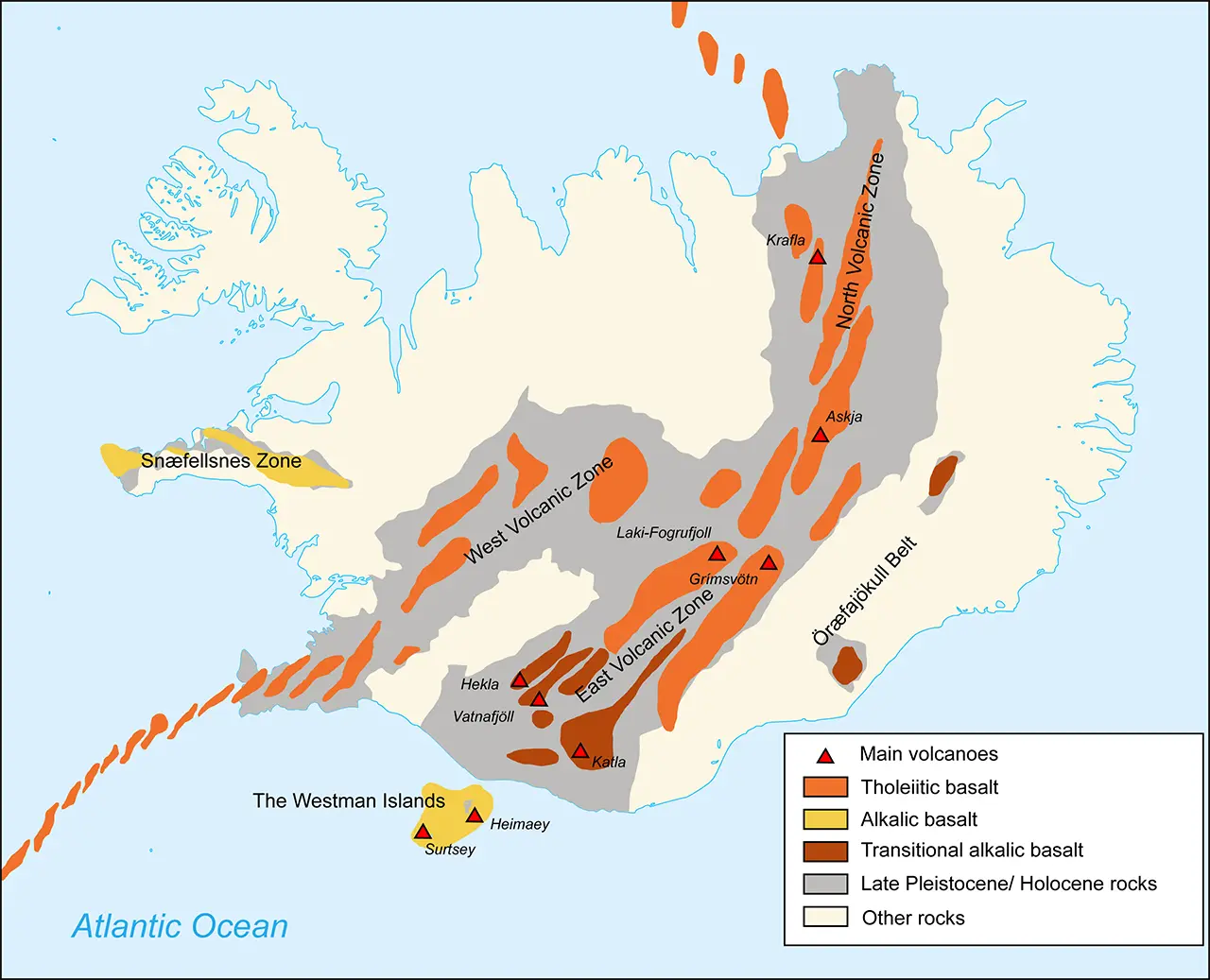
The third diagram helps put the volcanoes we hear about into this wider picture. Much of Iceland’s volcanic activity is concentrated along its spreading zones. In the south are familiar names such as Eyjafjallajökull, whose 2010 eruption disrupted air travel across Europe, Hekla, and Katla, as well as the Laki crater row. More recently, repeated fissure eruptions on the Reykjanes Peninsula have brought this restless landscape back into the news. Around Sundhnúksgígar, not far from the Blue Lagoon, another eruption in July 2025 sent lava across the surrounding ground—a vivid reminder that Iceland is still taking shape.
I have wandered rather far into geology, but understanding a little of it makes these landscapes all the more interesting. Part of me wishes I had put the pieces together before the trip, when I knew perhaps half as much. Only part of me, though. There was something to be said for simply stopping, looking, and photographing whatever caught my eye. Next time, how much should I read beforehand—and how much should I leave to discovery?
While reading up on all this, I came across websites describing Iceland as “a place where plates collide,” or explaining that “colliding plates heat the ground and force lava out.” After trying to make sense of plates pulling apart, finding them suddenly colliding was enough to make my head spin. Apparently, the ground is not the only thing that can lead you astray in Iceland.
Gullfoss
After leaving Þingvellir, I headed for Gullfoss. Here, the Hvítá River crosses what looks like an ordinary plain, then suddenly tumbles down two levels into a deep gorge. A waterfall in the middle of a plain? Somehow, that was not where I expected to find one. Reading about the geology afterwards helped me understand what I had seen. The river has cut down through layers of rock that differ in their resistance to erosion. Softer material wears away more readily, while harder layers remain as ledges over which the water falls. The seemingly level landscape conceals a much more complicated structure beneath. How the gorge itself formed is still a matter of debate. One explanation points to an enormous glacial outburst flood near the end of the last ice age. Another gives the Hvítá a longer role, gradually carving the gorge as the glaciers retreated. The latter is considered more plausible in the nature reserve’s geological account. What had looked like a waterfall appearing out of nowhere began to make more sense. The plain was only the surface of the story.
Once again, I was reminded of three major factors shaping Iceland’s landscape:
- Its position on the boundary between the North American and Eurasian plates
- Its location over a hotspot thought to be fed by a mantle plume
- Its cold climate near the Arctic Circle
Together, these forces have built, fractured, and carved the landscapes we see today.
From the car park, we walked to the nearby upper lookout for an overall view of the falls—the panorama in the first photograph. Then we doubled back a little and took the path down to the lower lookout. The walk is less than 200 meters, but the slippery footing calls for care. In April, with snow still on the path, I had found it rather unnerving.
At the lower lookout, there is a definite sense of “I made it!” Naturally, a photograph to mark the occasion is hard to resist. You cannot see the falls as a whole from here, but you certainly feel their power, with spray adding to the experience. For photographing the falls themselves, though, I preferred a spot just short of the lookout, where the path runs beside the lower cascade. That is where I took the fifth photograph.
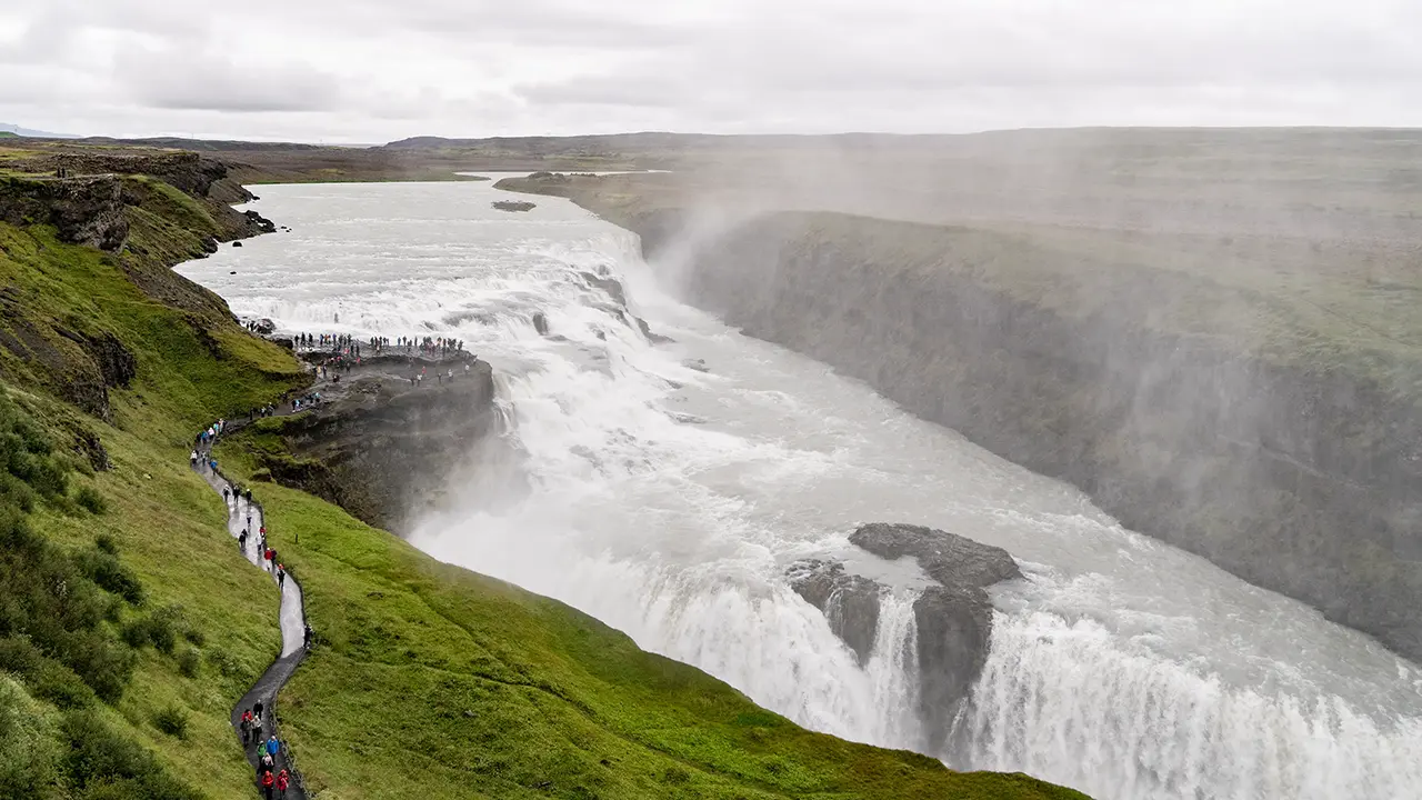
A panoramic view from the upper lookout
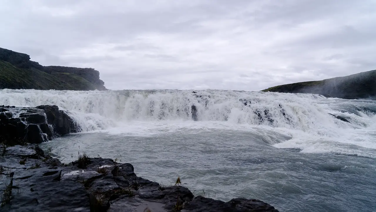
The upper cascade from the lower lookout on the rock
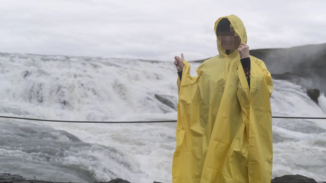
The obligatory souvenir photograph
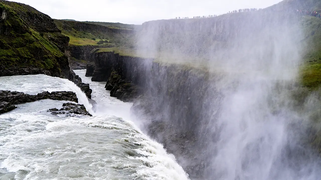
The lower cascade
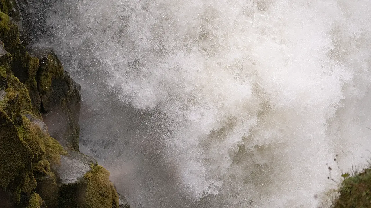
The full force of the falls, just before the lower lookout
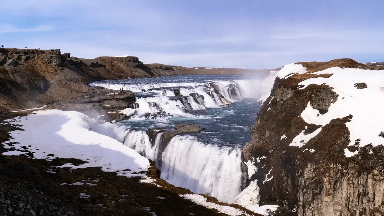
From the upper lookout, in April
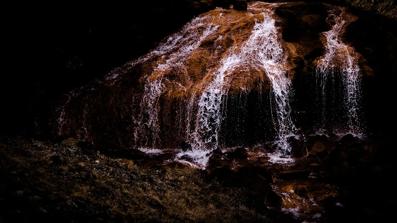
A red waterfall just north of the fenced area
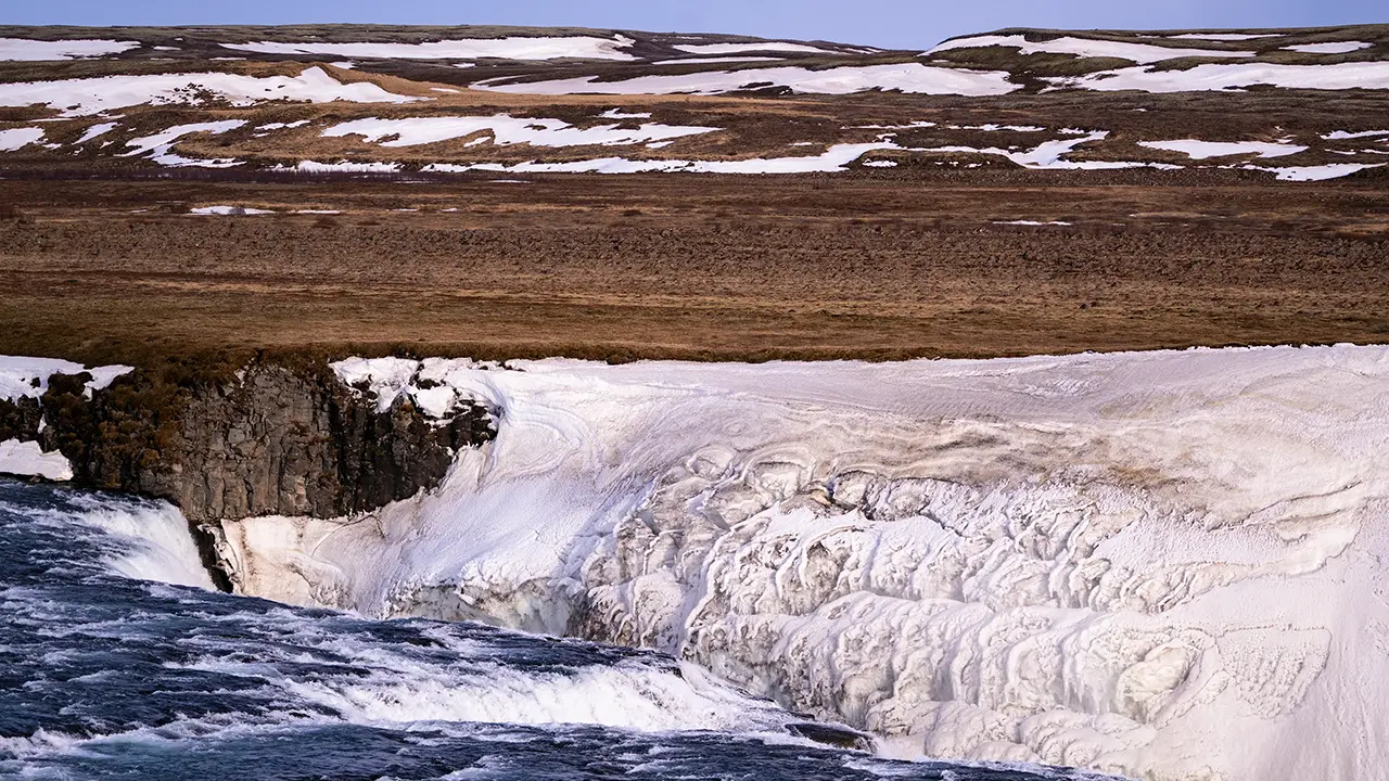
The opposite bank, seen from near the red waterfall
Beautiful patterns in the clinging ice
Beautiful patterns in the clinging ice
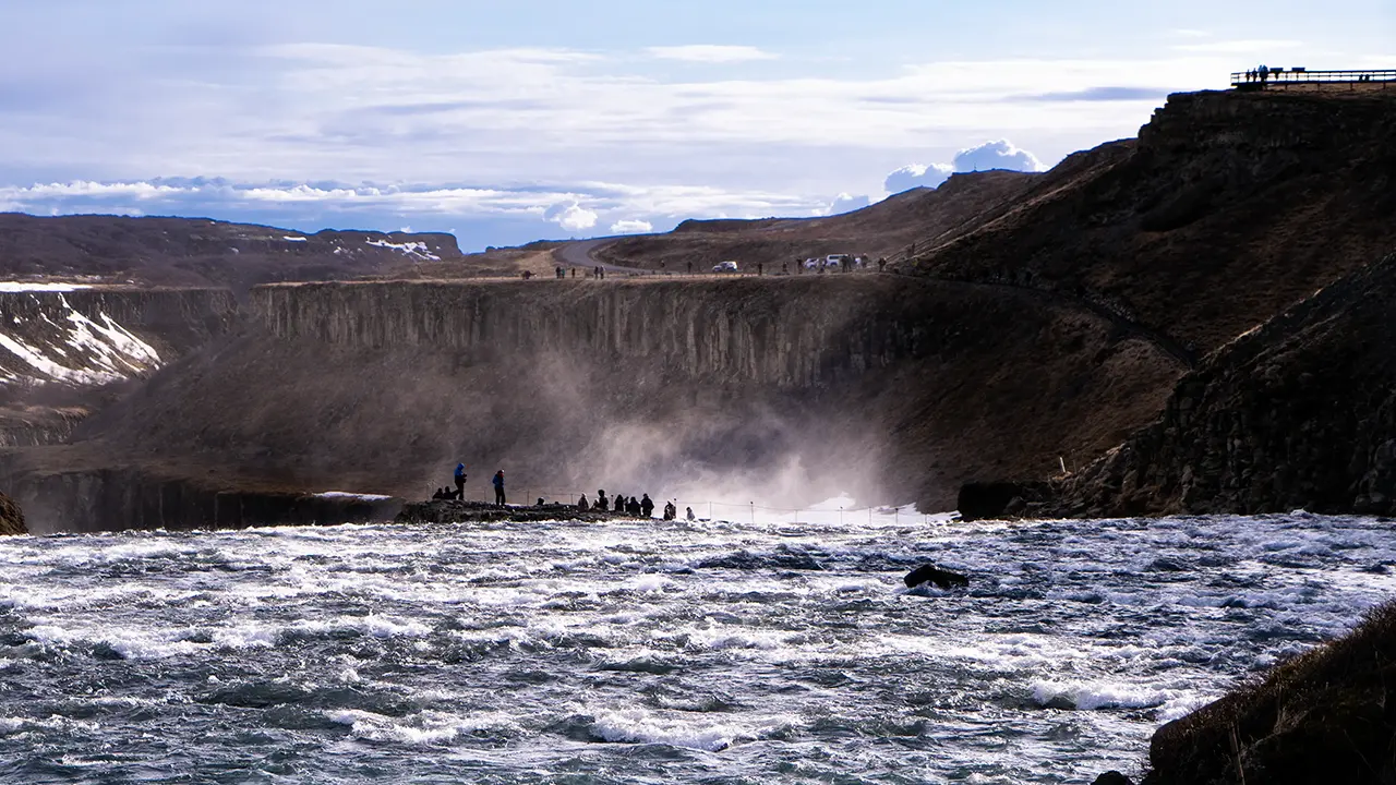
The lower lookout, seen from near the red waterfall
The lookout seems to float on its own
The lookout seems to float on its own
The photographs from the sixth onwards were taken in April. Traveling on my own, I could take my time wandering around with the camera, and spent more than an hour doing just that.
The seventh photograph shows a small stream just beyond the fence to the north of the falls. It joins the Hvítá, but what caught my eye was the reddish color of its rocks, so different from the surrounding ground. I wondered whether the water had picked up iron as it seeped through volcanic rock underground. On reaching the surface, the dissolved iron could have reacted with oxygen in the air, leaving rust-colored deposits on the rocks.
Beside the thunder and turmoil of Gullfoss, this little stream flowed quietly on. Two very different moods of water, almost within touching distance of each other.
We then headed to Geysir, the third major stop of the Golden Circle.
Geysir
We had forty minutes to explore before meeting back at the minibus in the car park.
We had arrived at “Geysir,” but the geyser that gave the place its name was quiet. This is the famous Geysir from which the English word “geyser” derives. Its name is also used for the surrounding geothermal area in the Haukadalur valley, and that is how the place usually appears in travel guides. Even when it is not erupting, Geysir still gets top billing.
The performance, however, belongs to nearby Strokkur. Calling it a stand-in would hardly do it justice. Every five to ten minutes, it sends a column of hot water some 20–30 meters into the air, occasionally reaching around 40 meters. Yet the height is only part of the spectacle. First, the surface swells into a shimmering blue-green dome. Then it bursts, water shoots skywards, and everything falls back into the pool. I could happily watch the whole sequence again and again.
There is plenty to see between eruptions, too. The area has more than 40 other geothermal features, from small hot springs and bubbling mud pools to steaming vents. Strokkur may steal the show, but it is worth taking time to look around.
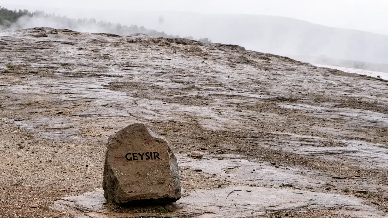
The illustrious name: Geysir
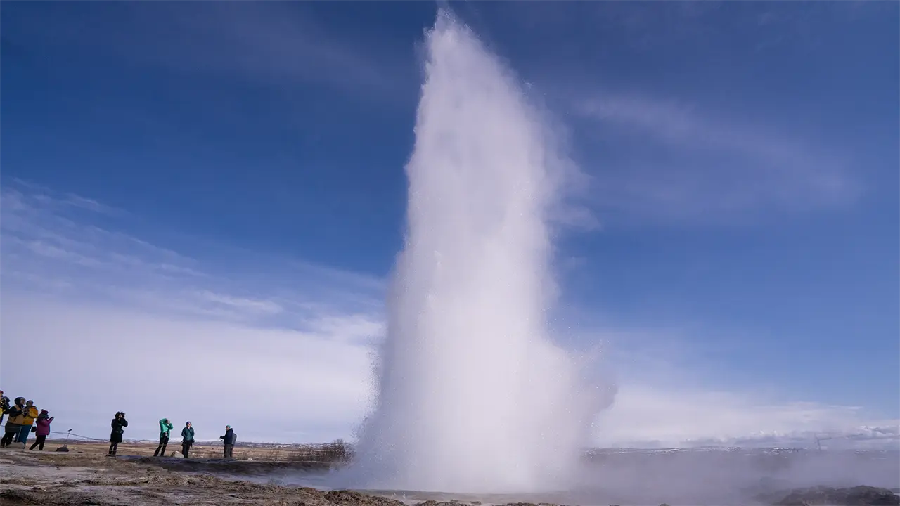
Strokkur geyser
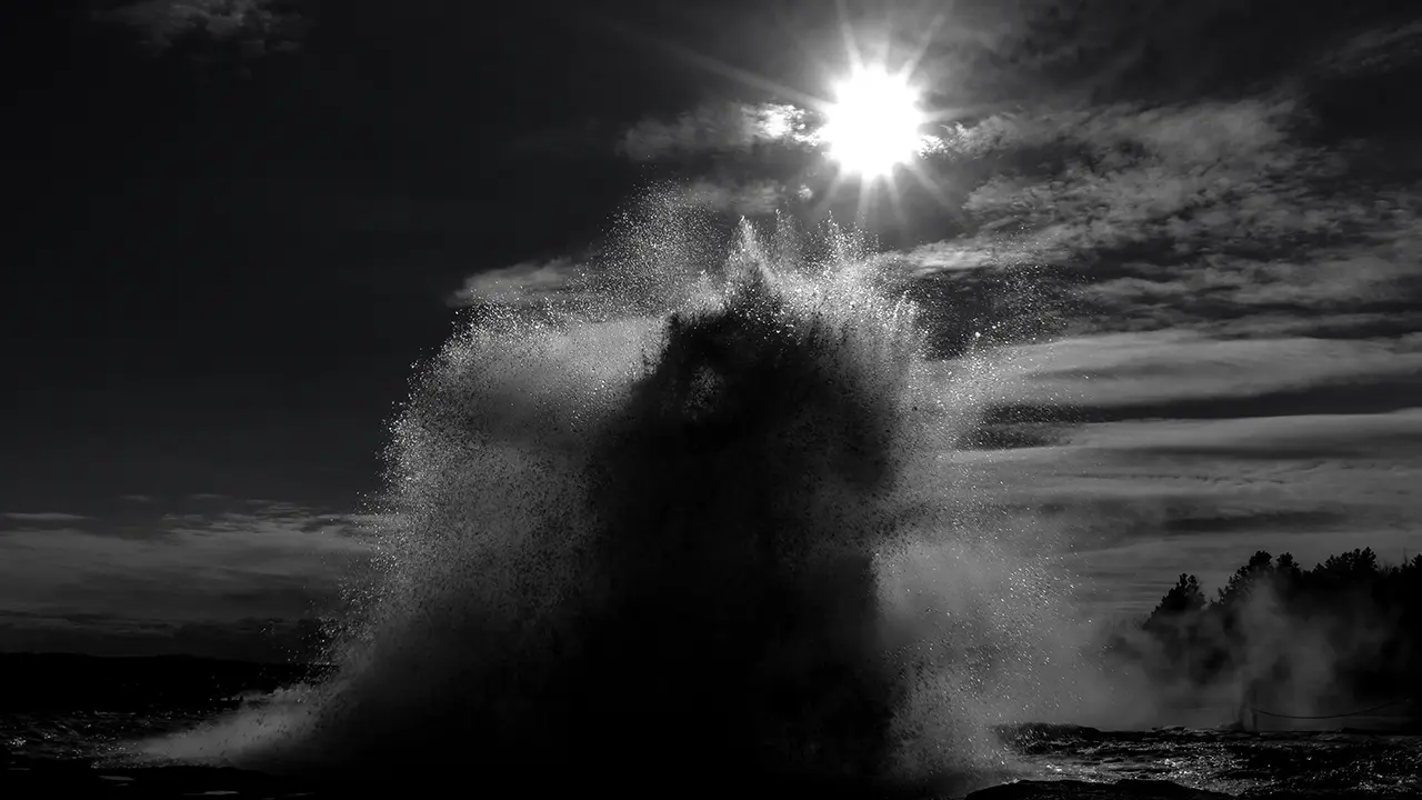
Strokkur: a photograph I tried
in black and white
in black and white
Strokkur in sequence: the green bubble swells, erupts, and collapses
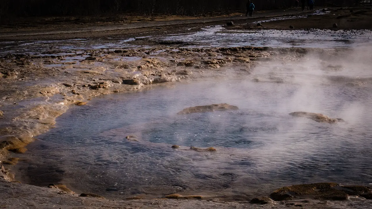
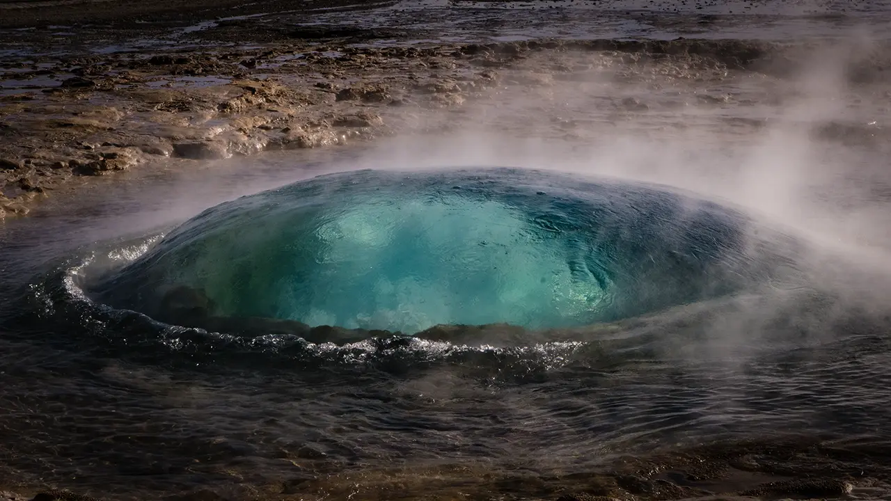
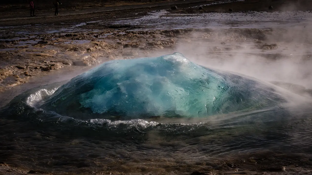
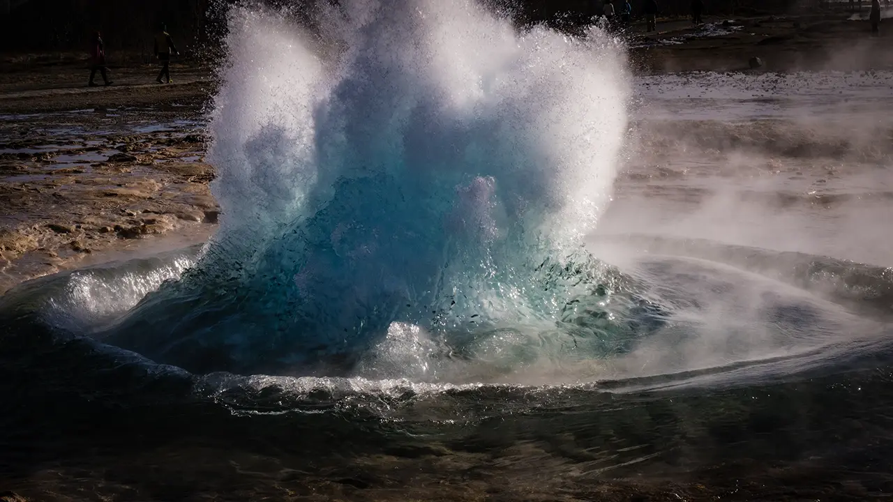
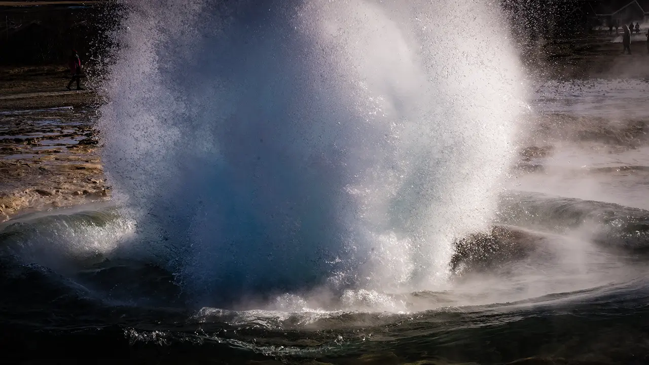
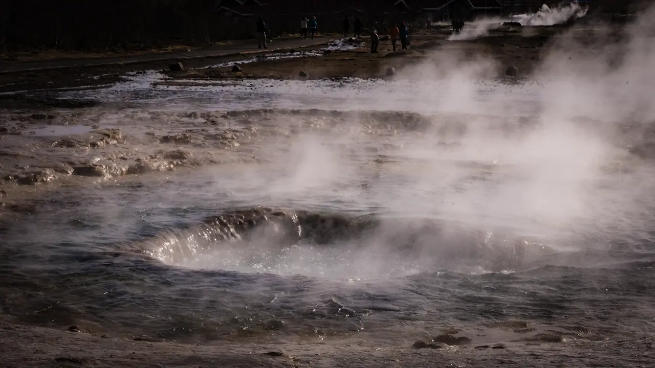
After Geysir, we left the Golden Circle and headed towards the South Coast. About an hour later, we reached the area below Eyjafjallajökull, the glacier-covered volcano whose 2010 eruption disrupted air travel across Europe.
A line of steep cliffs runs along the foot of the mountains here. Looking at the land stretching out in front of them, it is hard to imagine Atlantic waves once breaking against their base. Yet near the end of the last ice age, the sea stood higher relative to the land, and these cliffs marked the coast. As the sea retreated, low ground emerged below them, leaving the old coastline inland.
The waves are gone, but water still finds its way over the edge. Several of the South Coast’s best-known waterfalls tumble from these former sea cliffs.
South Coast: Four Waterfalls
Gljúfrafoss
Our first stop was Gljúfrafoss, a waterfall hidden behind a wall of rock. A narrow opening offers just a glimpse of white water falling inside. I followed the stream through the gap, stepping from stone to stone. The narrow passage opened into a tall chamber, open to the sky, with the waterfall descending into it. I had not imagined anything like this from outside. What struck me was not so much its power as the intricate shape of the place, as though the rock had been carefully hollowed out.
The water falls inside the cliff rather than over its outer face. I wondered whether it had gradually worn a hollow into the rock just behind the edge, leaving only a narrow opening through which the stream flows out. The shape reminded me of a hole punched through a thick stack of paper for binding, with a tear running from the hole to the edge of the stack. That was how I pictured it, at least—not an explanation of how it actually formed.
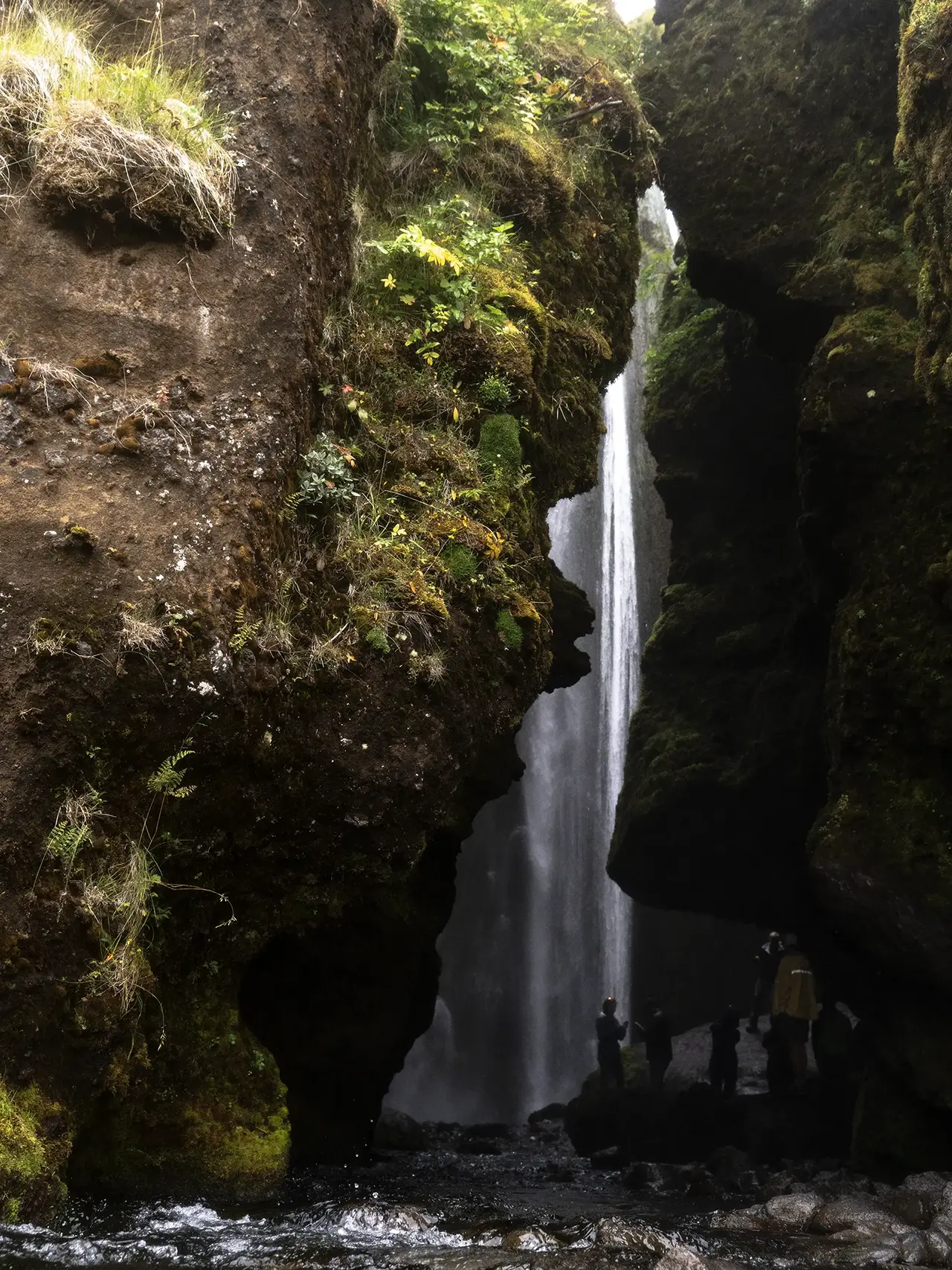
The entrance gives little hint
of the waterfall hidden beyond.
of the waterfall hidden beyond.
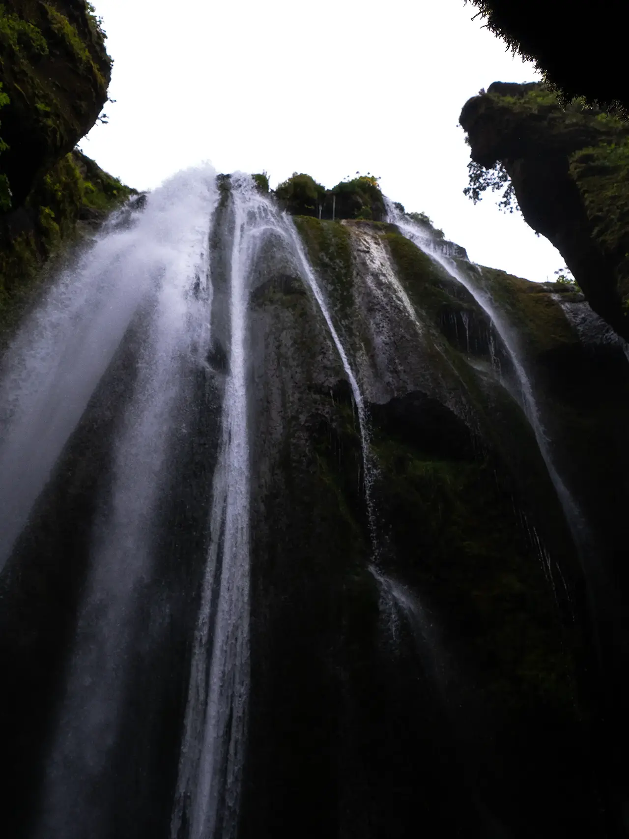
The view above me, inside the chamber.
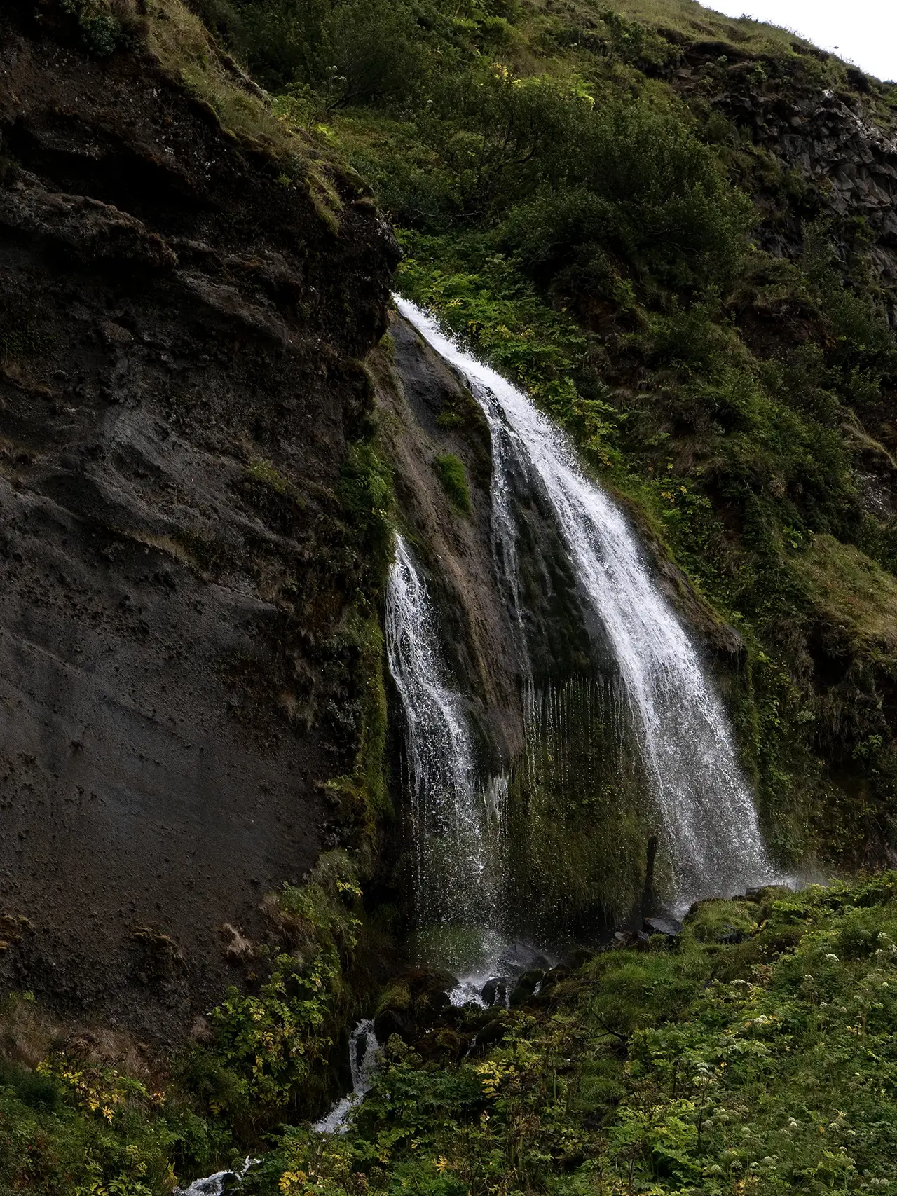
Waterfalls whose names I never learned,
along the cliffs on the way to Seljalandsfoss.
along the cliffs on the way to Seljalandsfoss.
The bus tour made things easy here, too. We were dropped off near Gljúfrafoss, explored the falls, then walked the roughly 300 meters to Seljalandsfoss. A hundred times more famous, Seljalandsfoss had been on my itinerary in April—but I had never ventured as far as Gljúfrafoss. To think I had been so close and missed it.
Seljalandsfoss
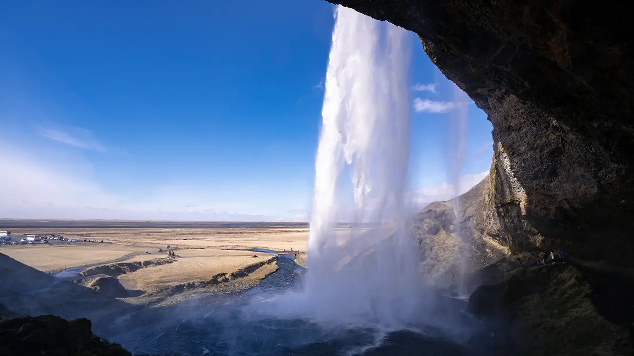
Seljalandsfoss falls about 60 meters from the old sea cliffs below Eyjafjallajökull, a slender ribbon of water against the rock. Its flow apparently changes with the seasons, making that ribbon wider or narrower, though it looked much the same to me in April and August.
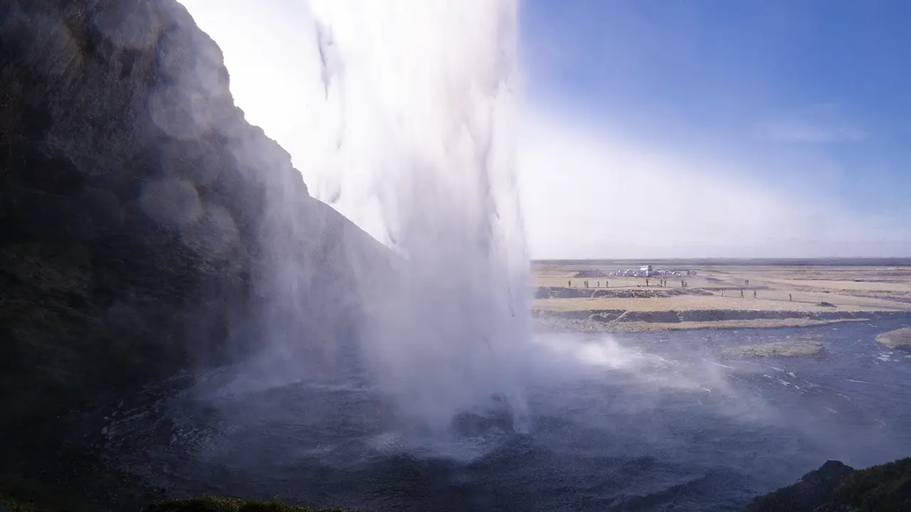
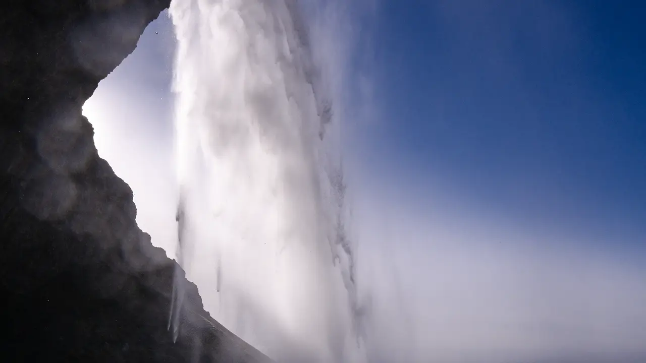
Seljalandsfoss is well known for the path that leads behind the falls. I enjoyed trying different angles from behind such a tall waterfall, but the wet, uneven footing made it difficult to move around and find a good position. People sometimes crowded together on the path, too, so I could hardly set up a tripod and take my time.
One photograph I had hoped to take was the view from behind the falls with the setting sun beyond. Neither visit quite allowed for it. Sunset in April was around 8:30 p.m., too late for my plans that day. In August, the timing was in the hands of the tour. It was a view I would have liked to capture, but it simply did not work out.
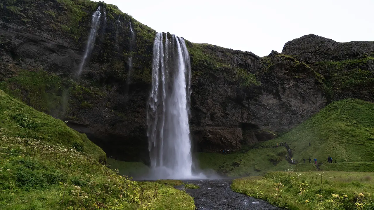
Approaching from Gljúfrafoss
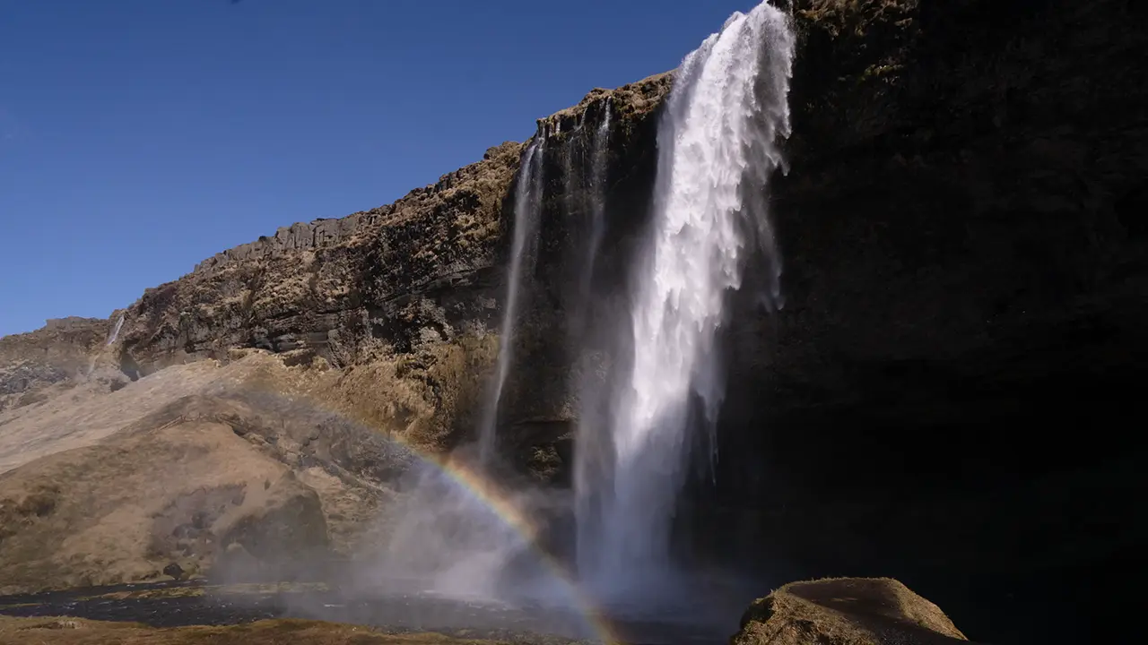
Near the entrance to the path behind the falls.
A rainbow appears.
A rainbow appears.
Looking towards the sunset, but…
Spray on the lens. No escaping it.
One of my favorites
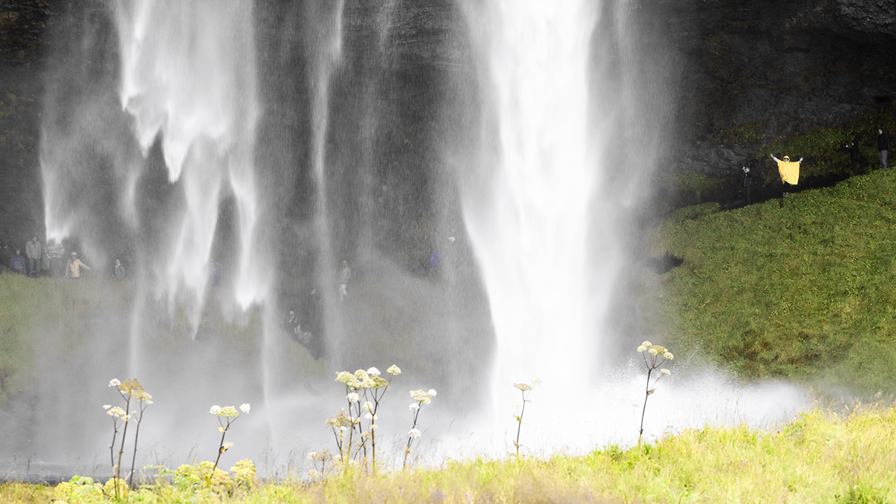
My wife's yellow raincoat
certainly stands out!
certainly stands out!
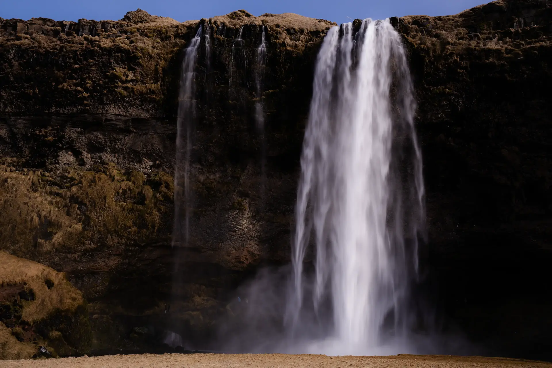
This view from the front shows just how slender and graceful Seljalandsfoss is. I had noticed the contrast with Skógafoss back in April. We were heading there next, about half an hour away.
Skógafoss
Seljalandsfoss falls in a slender ribbon; Skógafoss comes down in a broad, powerful curtain of water.
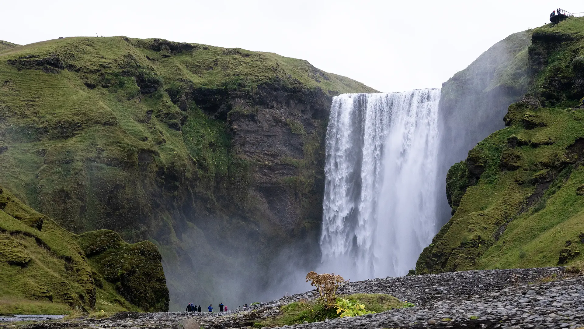
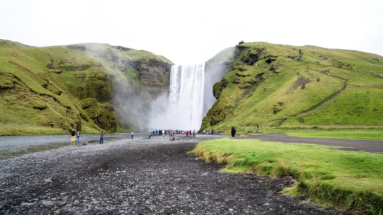
The falls and the path up to the lookout
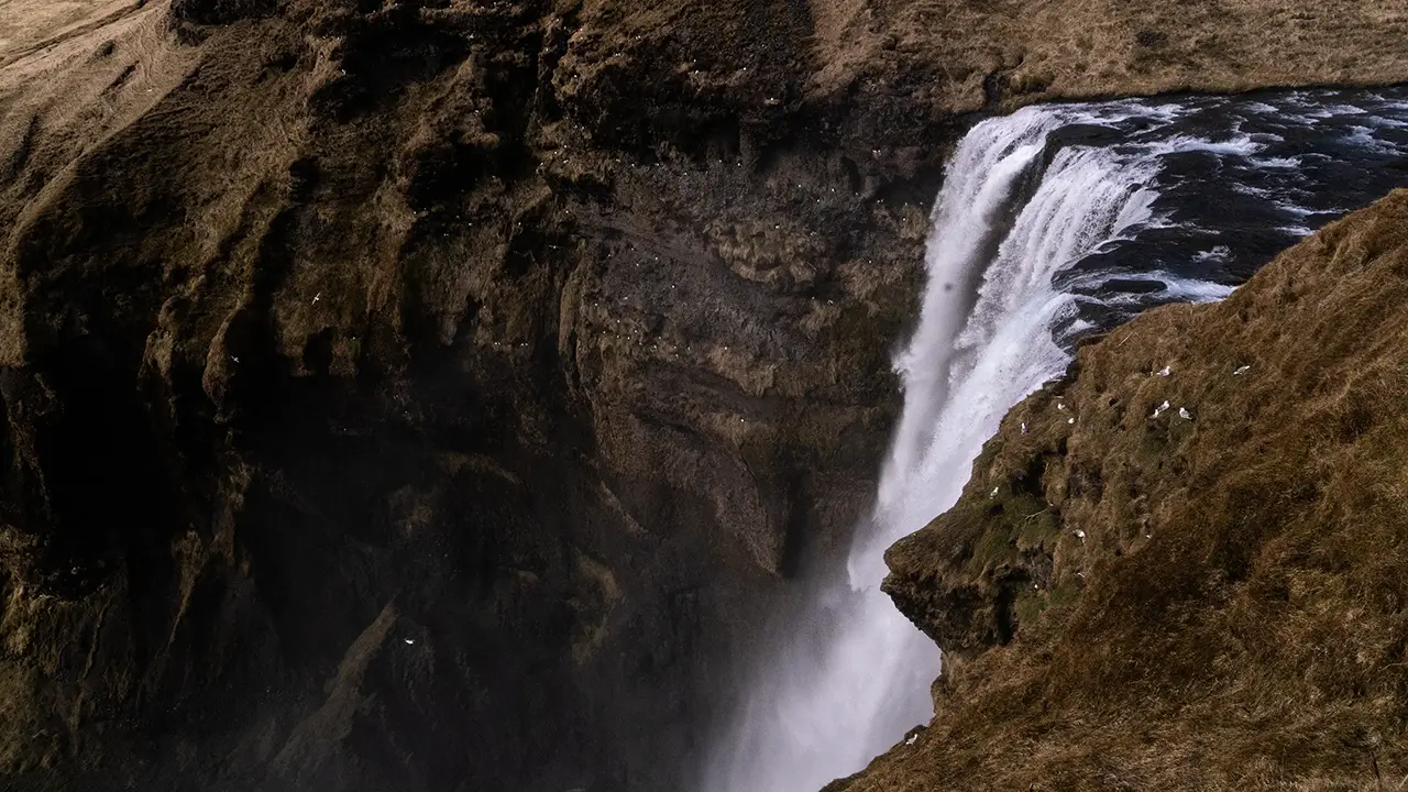
The view from the lookout
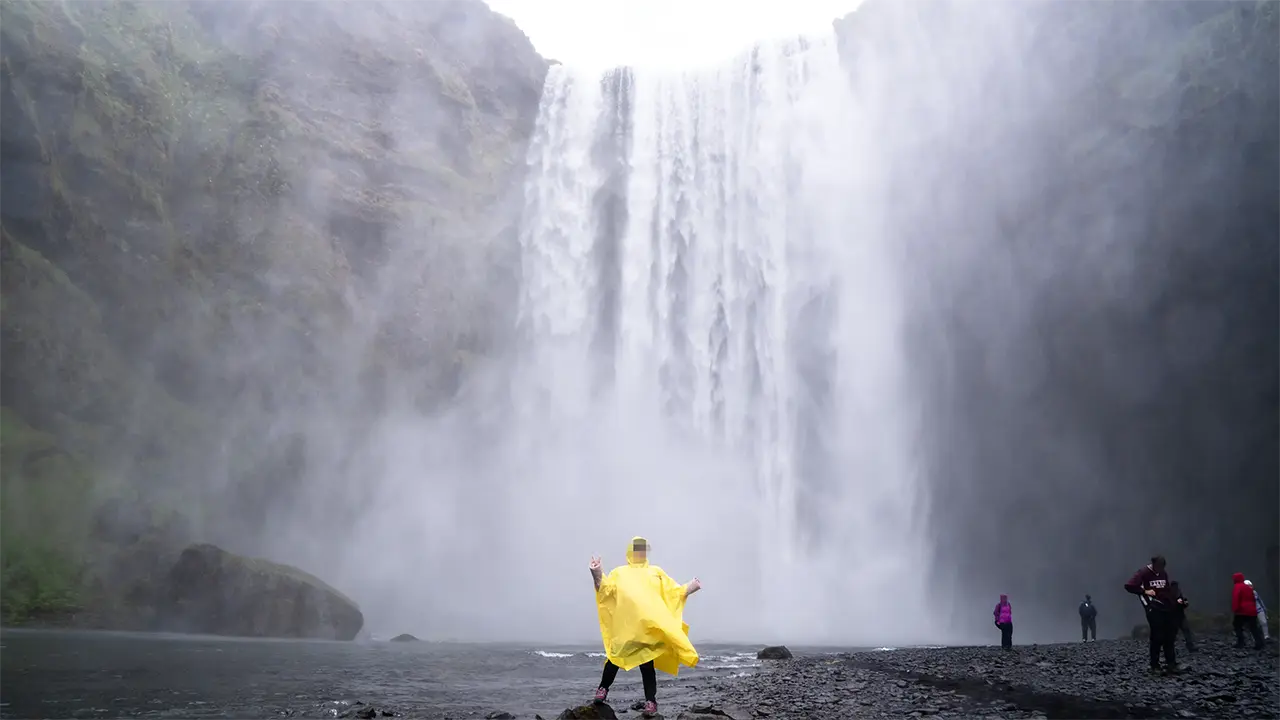
The lady in the yellow raincoat again
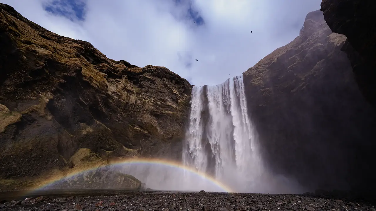
A vivid rainbow in April
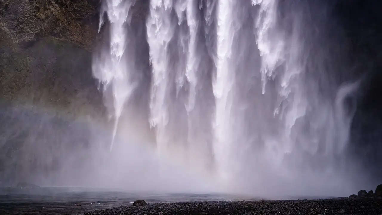
The force of the water, up close
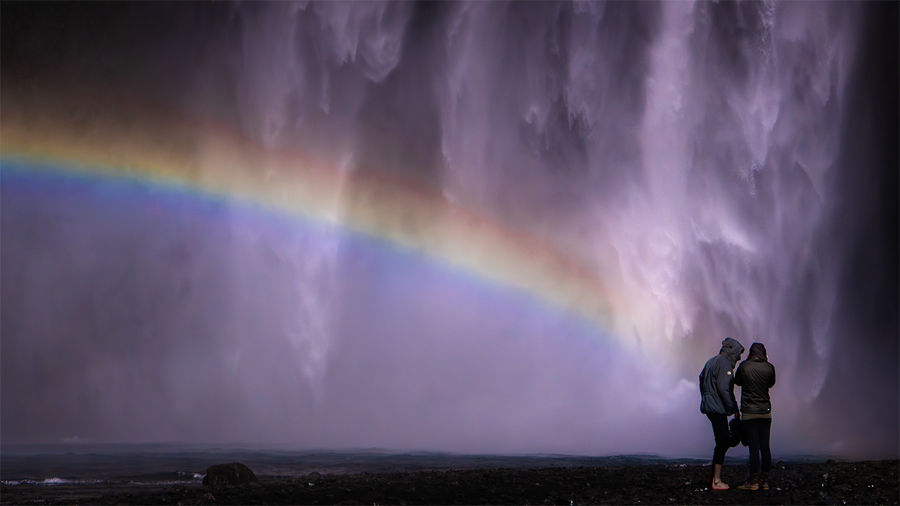
One of my favorites
Skógafoss drops over the same line of former sea cliffs as Seljalandsfoss. The two are about the same height, roughly 60 meters, but Skógafoss is around 25 meters wide and carries far more water. The roar is tremendous, and spray fills the air. Getting wet is part of the experience. We kept our raincoats on, and I remember struggling to take photographs while keeping the camera covered.
A path climbs the hillside to the right of the falls, leading to a lookout at the top. It is a strenuous climb, but the view gives a very different impression from the one below. A rocky ledge just short of the top offers another angle, perhaps even more dramatic. If memory serves, that is the rock where Justin Bieber sat in his music video.
Rainbows are another part of the spectacle. The cloudy skies in August gave us none, but in April I had seen a double rainbow.
Now I was back, but the sky was cloudy and we had an early start the next morning. Had I been on my own, I probably would have gone out with the camera anyway, northern lights or not. This time, I stayed in. I did ask the guide to let me know if the aurora appeared, but we never saw it during the trip.
I have marked the accommodation as Skogar Hostel on the route map, though I am not entirely sure of the name. It was definitely in this area.
Winter is not the only season for seeing the northern lights. They can be visible whenever the sky is dark enough and conditions are right. My own aurora trip to Yellowknife in Canada, for example, was in September.
We began the next morning with a short drive to nearby Kvernufoss.
Kvernufoss
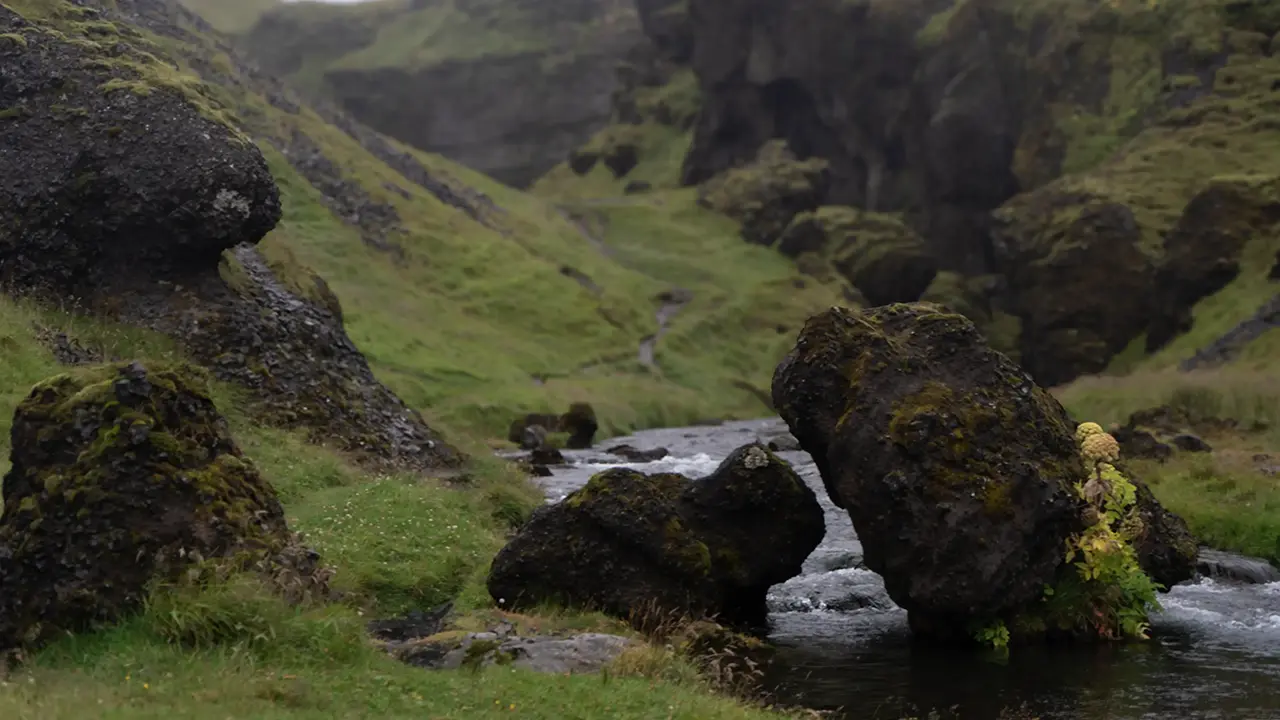
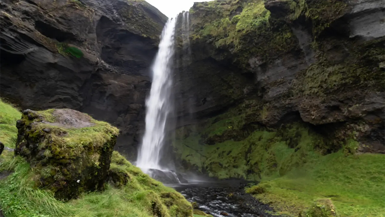
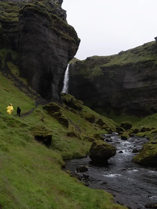
Barely a minute after leaving the hostel, we were getting out of the minibus again. The rain was falling steadily. We put on our raincoats and followed the river into a winding valley. We heard the waterfall before it came into view. I had covered my camera with a plastic shopping bag. The guide laughed. “Come on, buy yourself a camera cover!” I had, in fact, been using one until the day before. But I rarely used a tripod, and the cover kept getting in the way when I handled the camera. So I had just swapped it for the bag. Funny, the things you remember.
A deep recess in the cliff let us walk behind the falls. The place felt quiet and tucked away. We met no one else along the trail; a few grazing sheep were our only company.At the time, I thought I would probably never have visited the place without joining a guided tour.
The trail has apparently been improved since then, and there is even a café near the entrance. More people visit now, too. The photographs I have seen online look quite different from the place I remember.
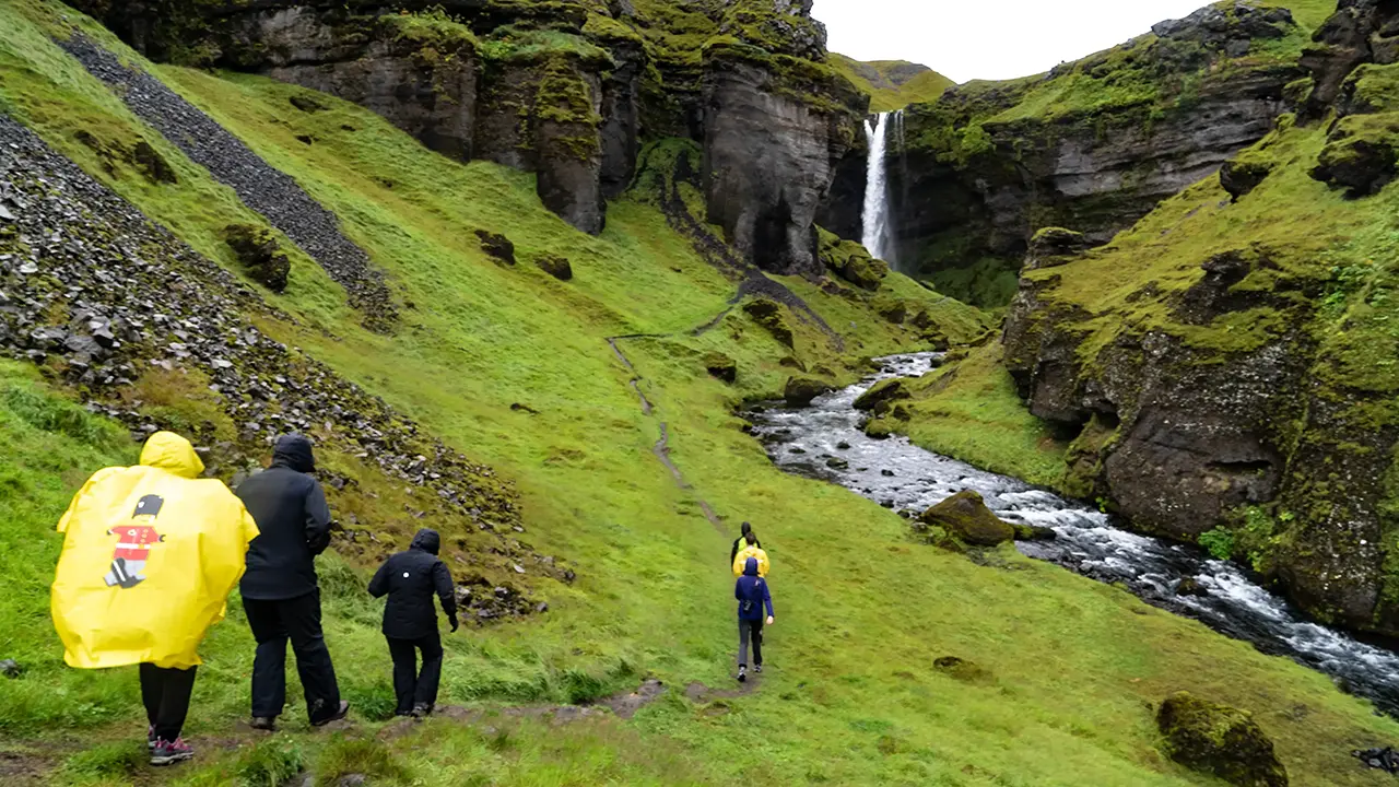
The yellow raincoat again
A narrow, rocky path
Fifteen minutes to the falls
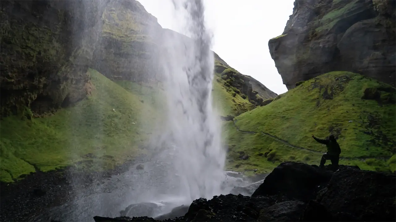
Room to spare behind the falls
A rock catches the falling water
A carp leaping up the falls?
A Japanese garden comes to mind.
A Japanese garden comes to mind.
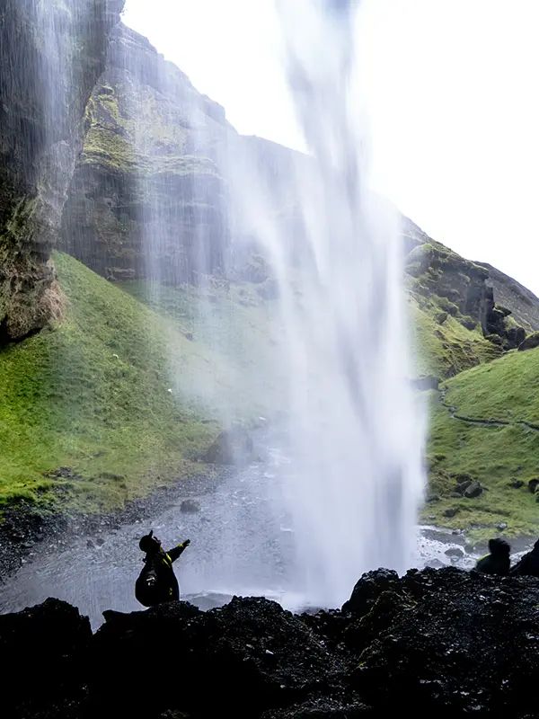
She seemed to escape the spray
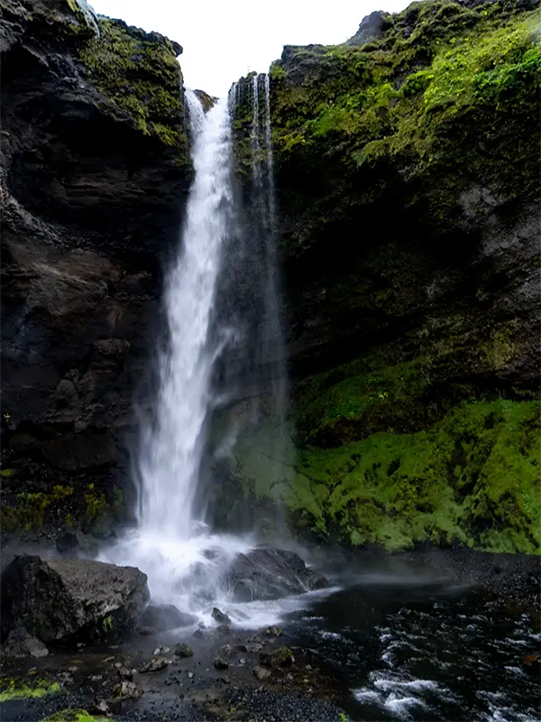
The falls in full
Heading back
We made our way back carefully along the slippery path. Despite the rain, it had been a pleasant walk—just over an hour, without meeting another visitor. Then we were back in the minibus, heading for the black sand beach at Reynisfjara, a little under an hour away.
South Coast: Two Beaches
Reynisfjara Beach
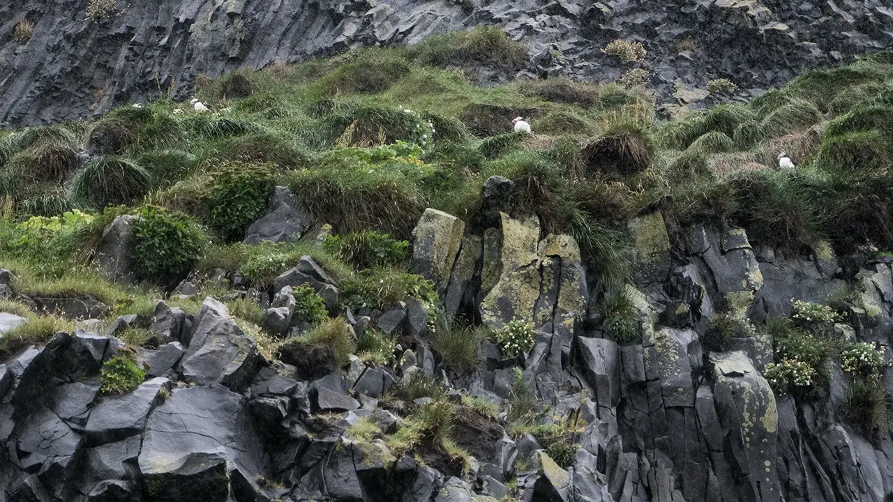
We arrived at Reynisfjara in heavy rain. I got out of the minibus, but could make out very little of the scenery. There were, however, plenty of puffins flying about. I tried to photograph them, only to realize how little I could do without a telephoto lens. The rain had put me off fitting one before leaving the minibus. Reading about puffins while writing this travelogue, I learned that they come ashore to breed in spring and begin heading back out to sea in August. We had caught them near the end of their breeding season. I had seen none during my April visit; perhaps they had not yet arrived. Later, an episode of NHK’s nature series "Taikan! Great Nature" featured the puffins here and brought back memories of that rainy visit.
The Atlantic puffin is known as lundi in Icelandic.
We stayed for less than ten minutes, as I recall. At least I have a photograph to prove we were there.
Instead, here are photographs from April. There were clouds on the horizon that day, but otherwise it was pleasantly clear, with strong sunlight.
The photographs that follow are from April, when the weather was much kinder. Clouds lined the horizon, but the sky overhead was clear and the sunlight strong. Reynisdrangar caught my eye first: curious sea stacks rising off the eastern end of the beach. Two appear in the first photograph, with slender Mjóidrangur on the right and Langhamar beside it. Atlantic waves roll straight onto the black sand here, sometimes surging unexpectedly far up the beach—the so-called sneaker waves. The rocks, the surf, and the black sand seemed to sum up Reynisfjara. I was pleased to catch them without a single tourist in the frame.
The second photograph has people in it, and I like it for quite a different reason. A couple were joking around as they took pictures of each other. I caught the scene from almost sand level, and the spray, light, and exposure happened to come together in an almost monochrome image.
The basalt columns along the cliffs are just as striking as the sea stacks. These were also the cliffs where I saw the puffins in August.
The fourth photograph looks into Hálsanefshellir, a cave framed by basalt columns. Its rounded interior reminded me of a half-dome, or a theater stage. I wanted someone in the picture to give a sense of scale, so I asked a person taking photographs nearby if they would mind being included. The result was just what I had hoped for—another favorite.
White foam spreads across the black sand in the fifth photograph, with the Dyrhólaey headland in the distance.I decided not to go there, reasoning that its arch would be better seen from this side anyway. That made sense to me at the time. Now, looking at the photographs again, I wonder whether I should have gone after all.
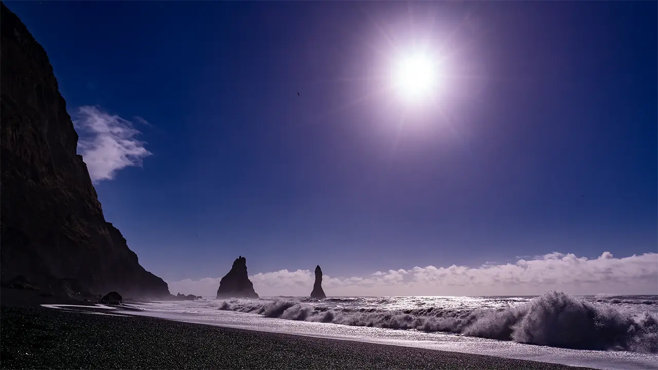
The Reynisdrangar sea stacks
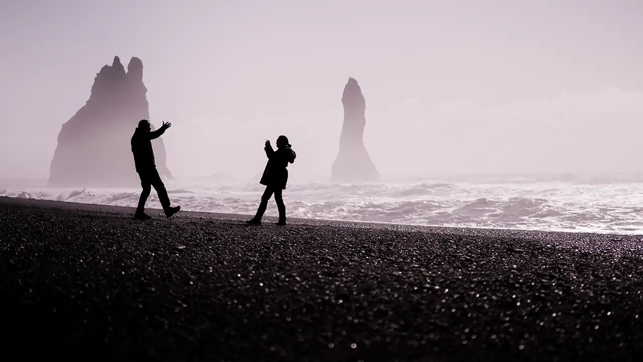
A couple having fun with the camera
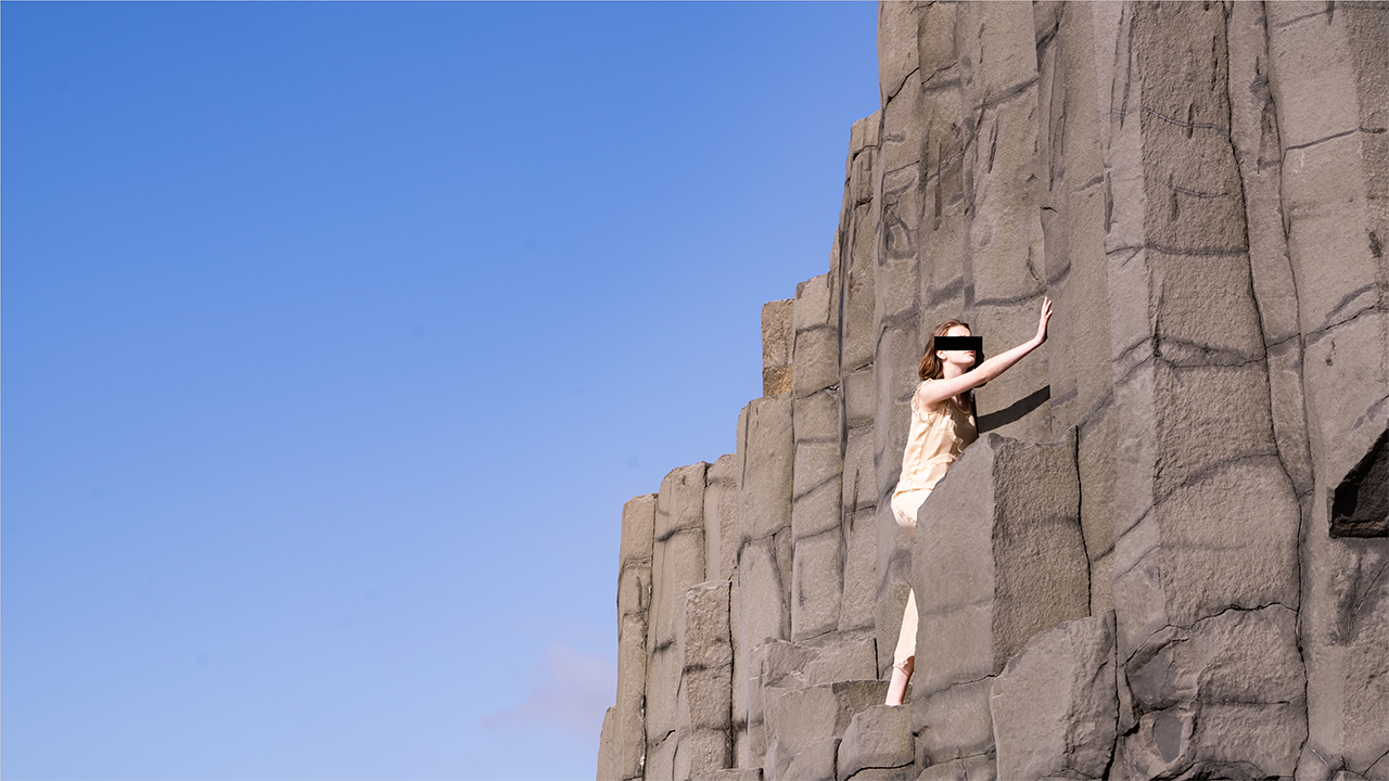
Beautiful basalt columns,
with someone climbing among them
with someone climbing among them
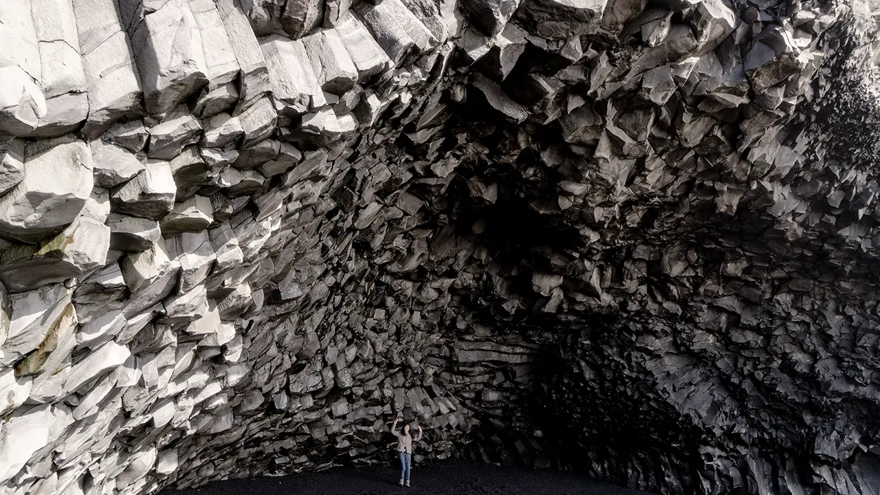
A cave shaped like a theater stage
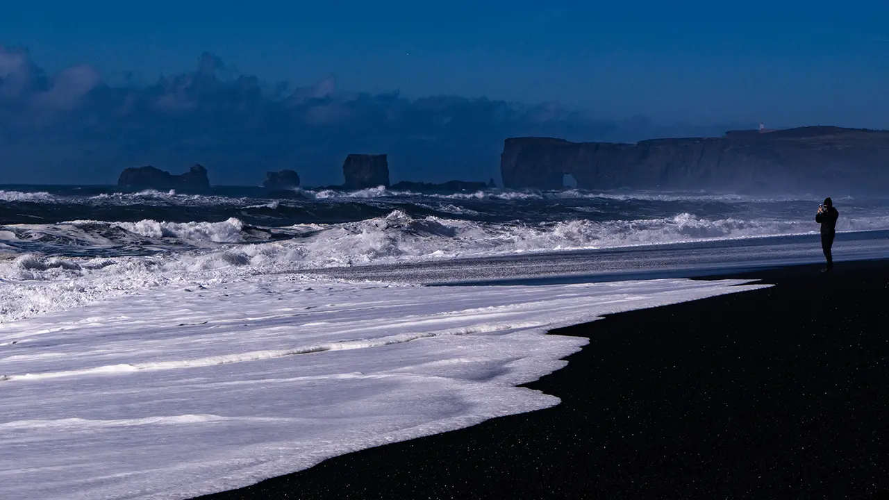
Black sand and the Dyrhólaey headland
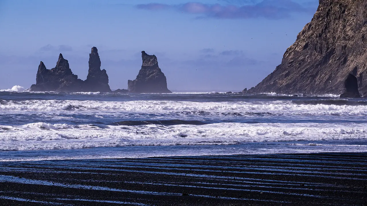
The shore at Víkurfjara
The last photograph takes us to a different beach. Víkurfjara lies on the Vík side of Reynisfjall, across the mountain from Reynisfjara. The familiar Reynisdrangar stacks appear from another angle here, joined by Landdrangur, the stack closest to land. The same rocks, yet a very different scene. The waves were less rough than at Reynisfjara, and the beach had a gentler slope. The retreating water had drawn beautiful stripes across the black sand. I later learned that waves washing in and out can sort sand grains by size and weight, leaving bands of different shades. That was probably how these patterns had formed, too. There were also far fewer people here than at Reynisfjara, and the beach was quiet.
Back on the August tour, we spent about ten minutes at Víkurfjara before setting off for Fjaðrárgljúfur canyon. A stop at a moss-covered plain and a lunch break stretched the journey to nearly three hours. The rain had eased a little when we finally arrived.
Fjaðrárgljúfur Canyon
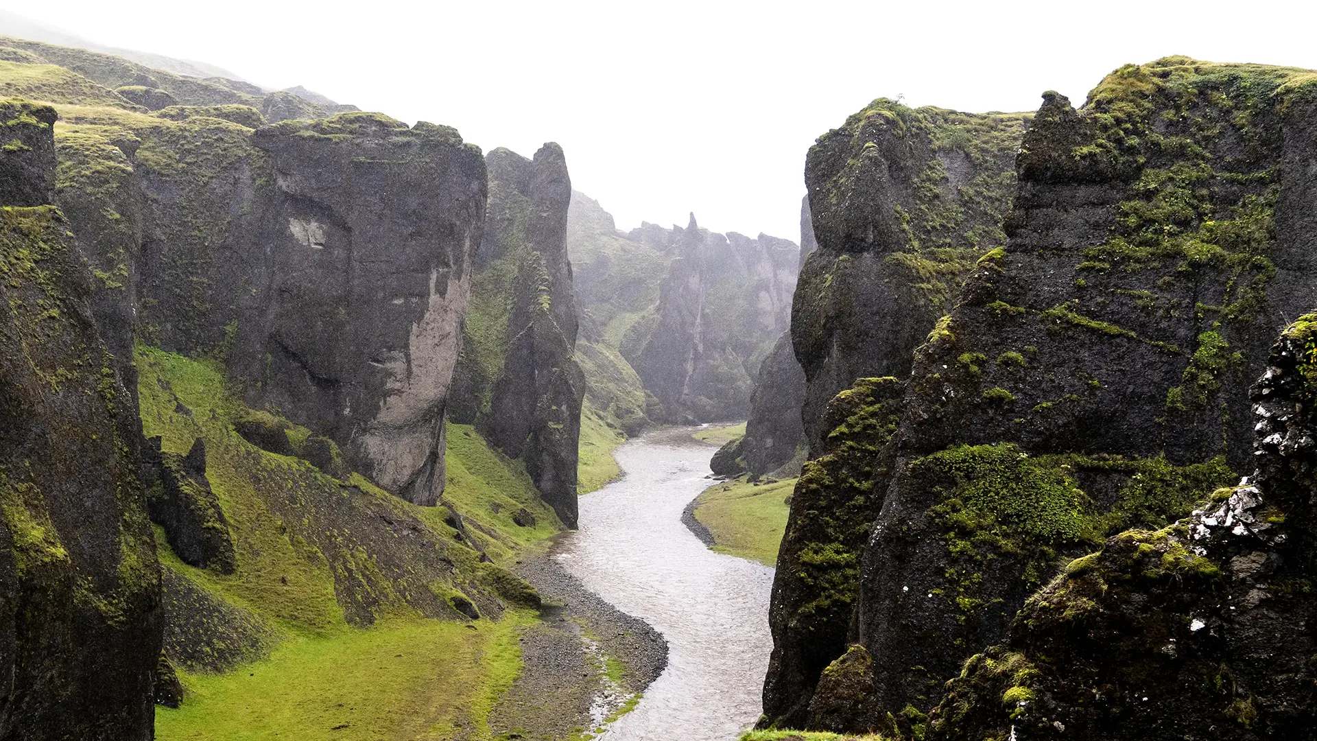
We were back in our raincoats for another walk, just as at Kvernufoss. The canyon was only a short walk from the minibus. It could have been a gloomy scene in the drizzle, but the rain had brought out the rich green of the moss, brightening the view more than I had expected. We had the place almost to ourselves, too.
Fjaðrárgljúfur was carved by the Fjaðrá River. Around 9,000 years ago, as the glaciers retreated, a lake formed, and water flowing out of it cut into the bedrock to form the canyon. In geological terms, this deep canyon seems to have formed over a relatively short period. Erosion and weathering have continued to shape it ever since. Its origins, too, seem to reflect Iceland’s natural setting, from the volcanic activity associated with its mantle plume to the glaciers sustained by its cold climate.
I learned about the “Bieber effect” while writing this travelogue. Justin Bieber’s music video for “I’ll Show You” was filmed in Iceland in September 2015 and released that November. It was viewed hundreds of millions of times, and many people wanted to visit the places they had seen on screen.
Fjaðrárgljúfur was one of those places. Others included Seljalandsfoss, Skógafoss, Jökulsárlón, Diamond Beach, Dyrhólaey, and the aircraft wreck on Sólheimasandur—all in southern Iceland. Visitor numbers reportedly surged by 2017, with tours taking fans around the filming locations. Some visitors even imitated Bieber by rolling on the moss or swimming in the cold water.
The sudden increase in visitors took its toll on the landscape, as more and more feet trampled the fragile vegetation. Access to some areas was restricted, and walkways were installed to protect the ground. I heard that the “Bieber effect” had brought forward these conservation measures by as much as ten years.
Perhaps our visits in April and August 2016 came during the calm before the storm.
Justin showed me—indeed, apart from the aircraft wreck, I was shown all those filming locations.
The canyon veiled in rain
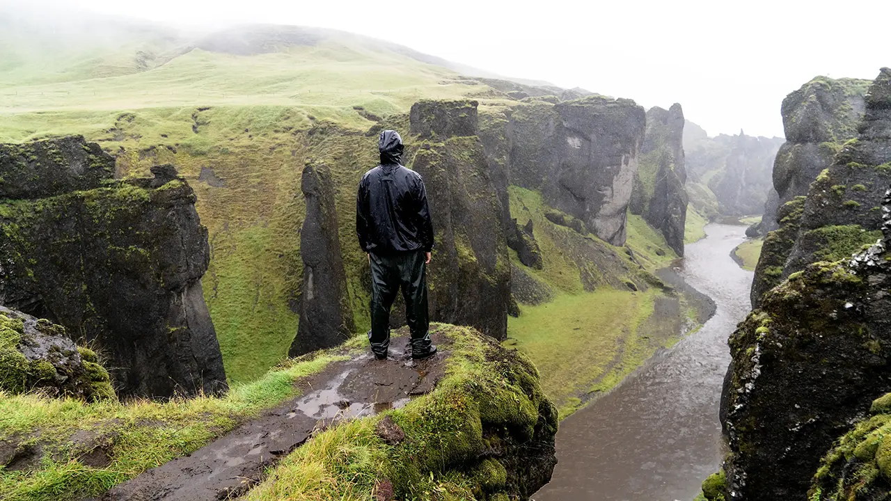
He must have seen Justin’s video.
Off limits as of 2026
Off limits as of 2026
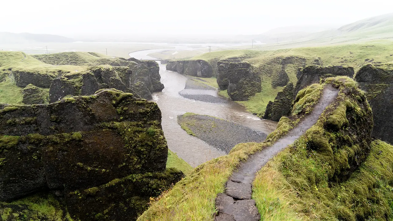
A metal-mesh walkway is now in place. (2026)
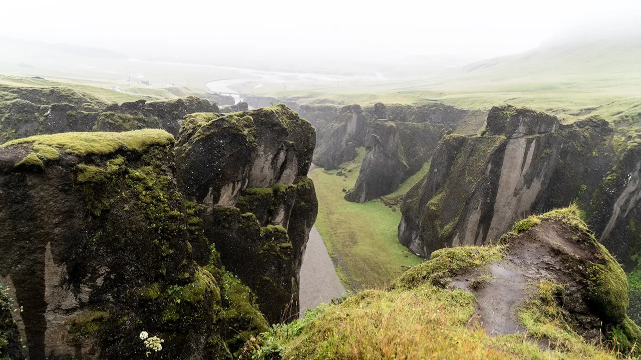
A viewing platform now stands here. (2026)
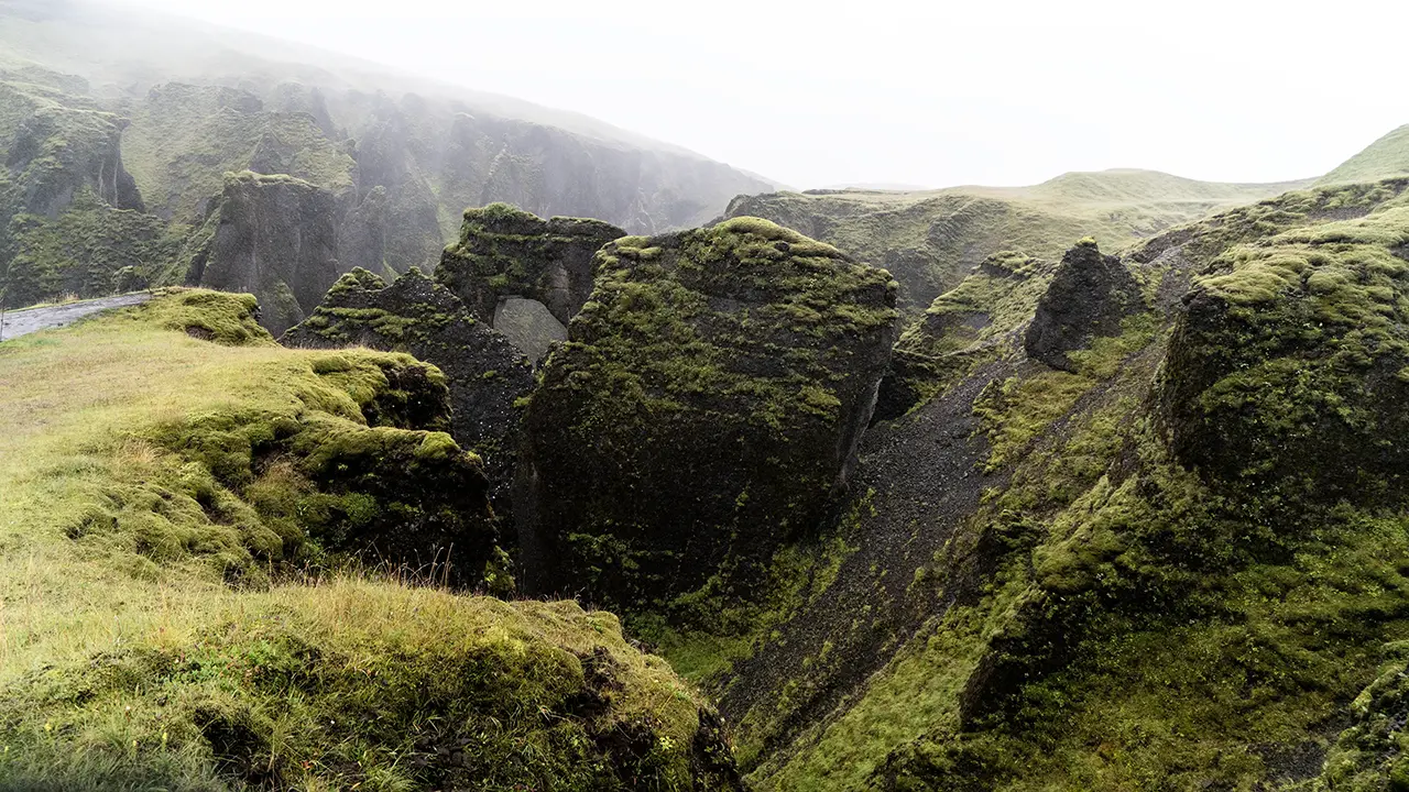
An arch carved by erosion
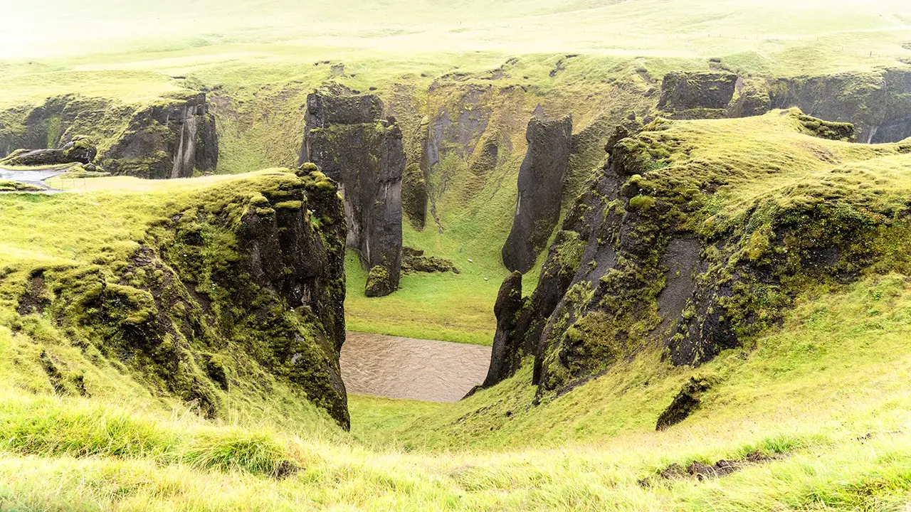
Rain-soaked moss, vivid green
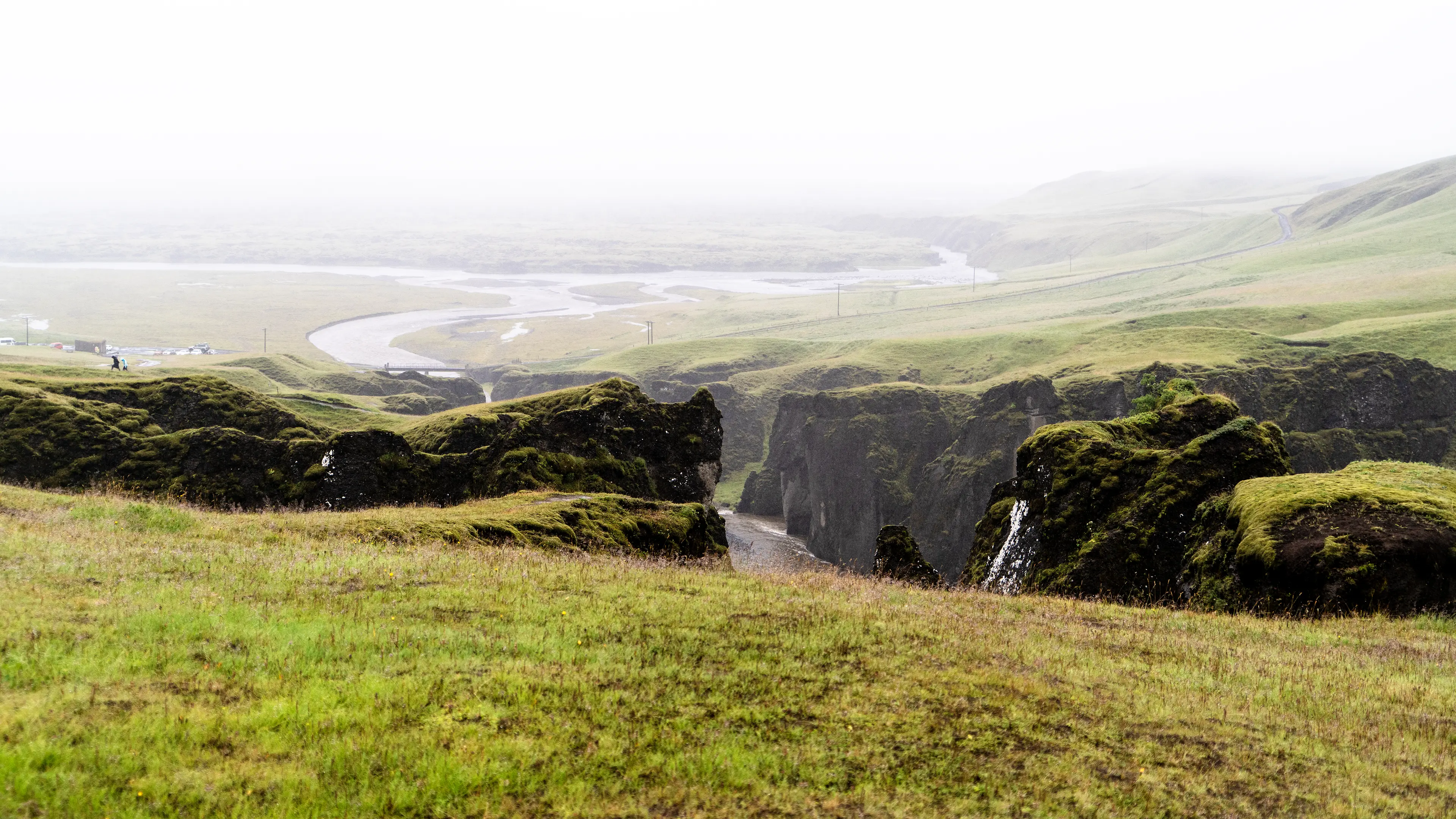
The river meandering across the plain below
South Coast: A Land of Lava, Moss, and Sand
Eldhraun
Come to think of it, before reaching Fjaðrárgljúfur, the minibus had stopped at a moss-covered plain. Perhaps it was because this was where Justin Bieber rolled on the moss.
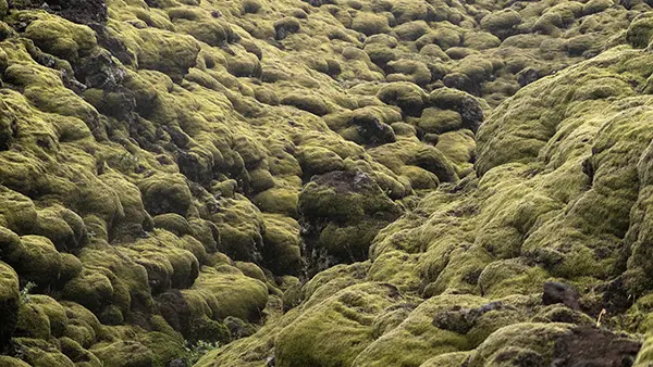
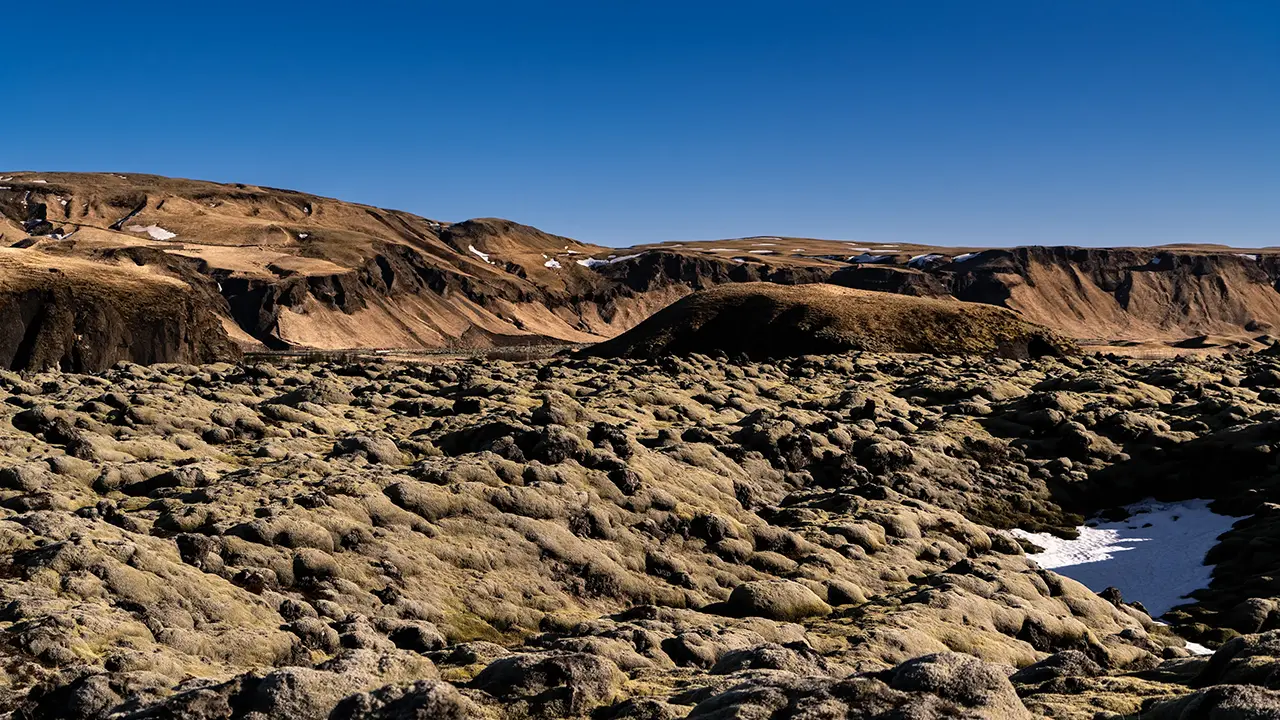
Green moss blankets the lava.
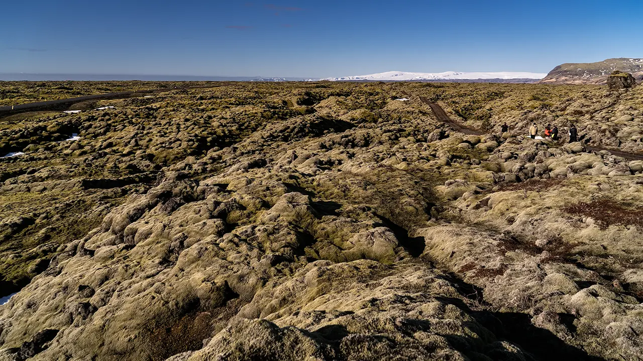
I had photographed this area in April too. The photograph above was taken near Eldhraun, where moss blankets the uneven lava field. I found a place beside the Ring Road with walking paths through the moss-covered landscape and what seemed to be the start of a dirt road. The great white expanse in the background is the Mýrdalsjökull glacier.
A film crew and a few tourists were there. The crew seemed careful to keep their equipment off the moss, placing it on bare ground or snow instead. That made me think they might be filming a program about nature conservation. I wonder what sort of program it was.
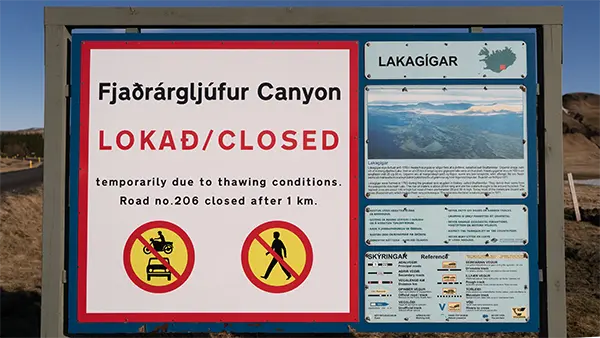
A note from my April visit: a road-closure sign near here put an end to my plans to head towards Laki via the road towards Fjaðrárgljúfur. I later learned that the spring thaw can leave roads soft and muddy, causing vehicles to get stuck or road shoulders to give way.
East towards Kirkjubæjarklaustur
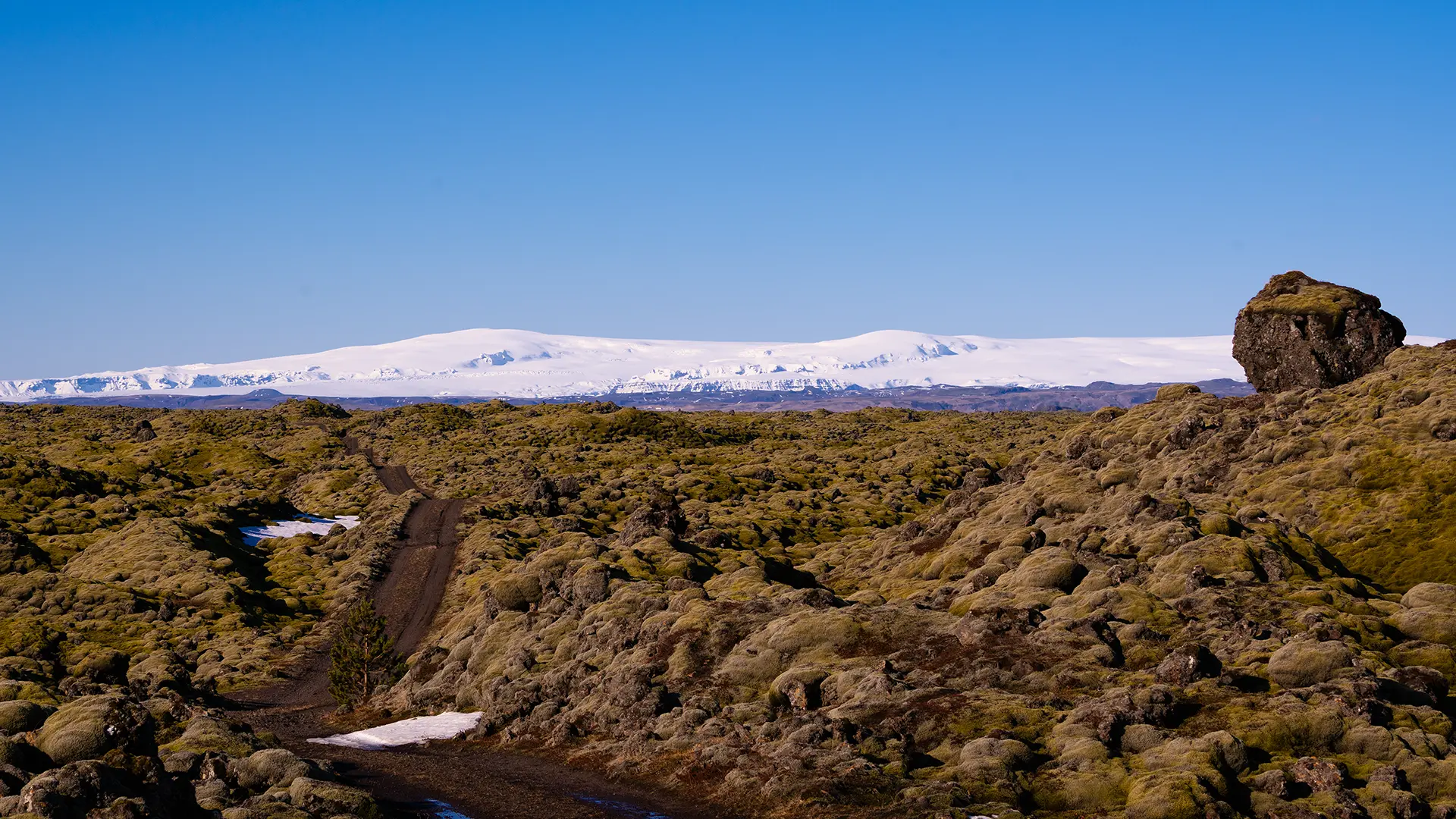
The dirt road and the first rock that caught my eye
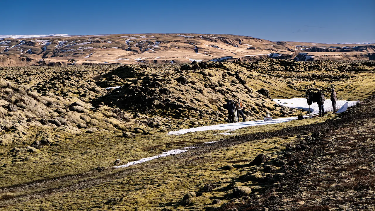
The film crew
The tourists stayed on the dirt road too.
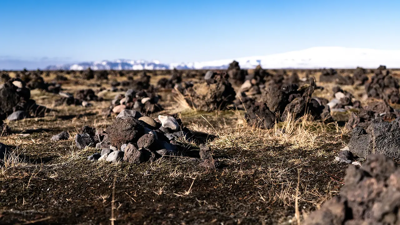
Cairns at Laufskálavarða
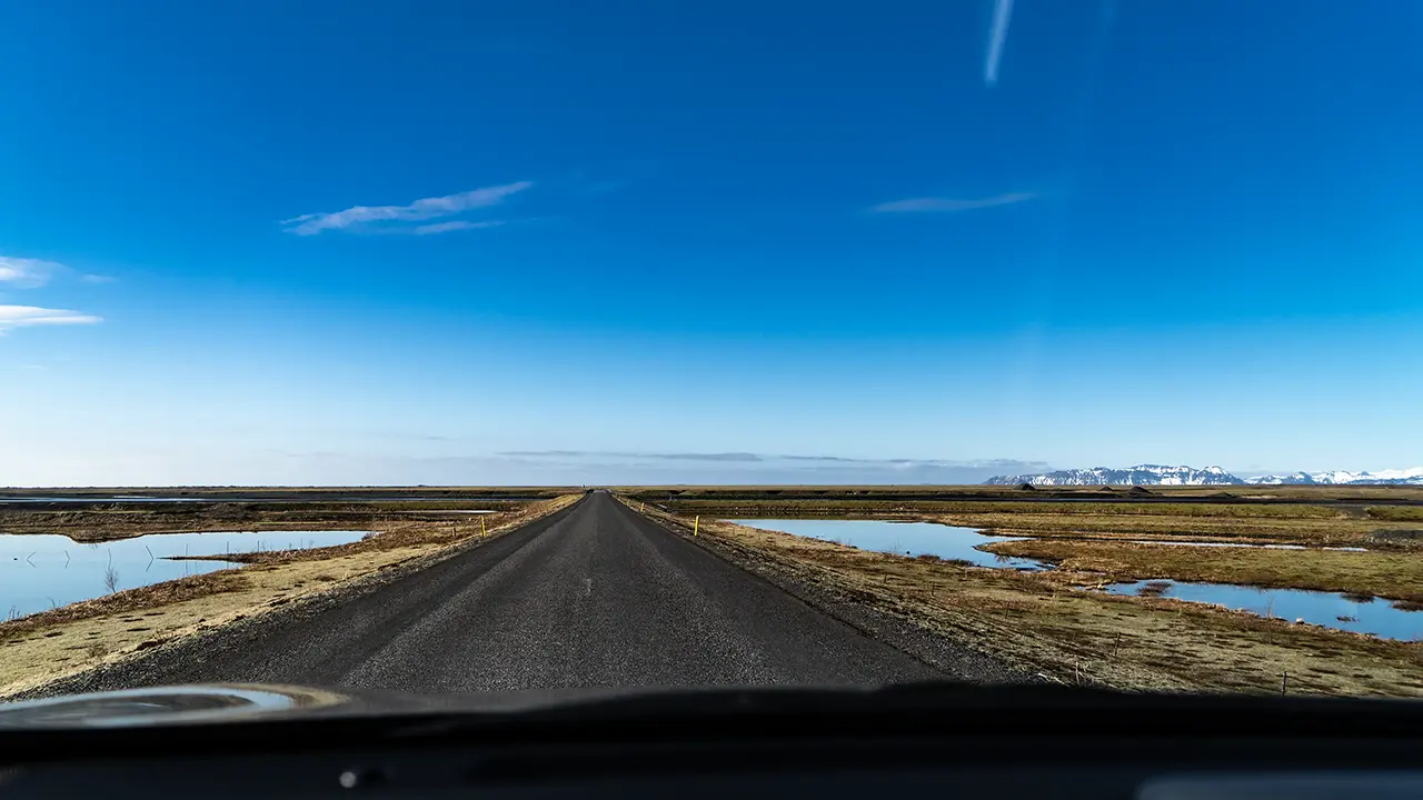
Driving across Mýrdalssandur
The fifth photograph shows the cairns at Laufskálavarða, beside the Ring Road. Travelers apparently built them in the hope of crossing the vast Mýrdalssandur safely. The last photograph shows that sand plain.
These April photographs bring back memories of the wide-open landscape: moss-covered lava, stretches of black sand, and glaciers in the distance. Typical Icelandic scenery, I suppose.
Returning to the August Ring Road trip, we headed east to the Skaftafell area to see Svínafellsjökull. In April, rather than that glacier, I had visited Svartifoss waterfall.
Before reaching Skaftafell, where both are located, the road crosses black sand plains as far as the eye can see.
Skeiðarársandur Sand Plain
About thirty minutes after leaving Fjaðrárgljúfur, we reached Skeiðarársandur, a black sand plain stretching as far as the eye could see. It apparently covers around 1,300 square kilometers, a little more than half the area of Tokyo Metropolis. The mountains of Skaftafell were in sight, yet never seemed to get any closer. We drove for just under half an hour along an almost straight road—perhaps 30 or 40 kilometers of it.
Rain kept me from taking photographs here during the August tour, so the photographs shown here are from April.
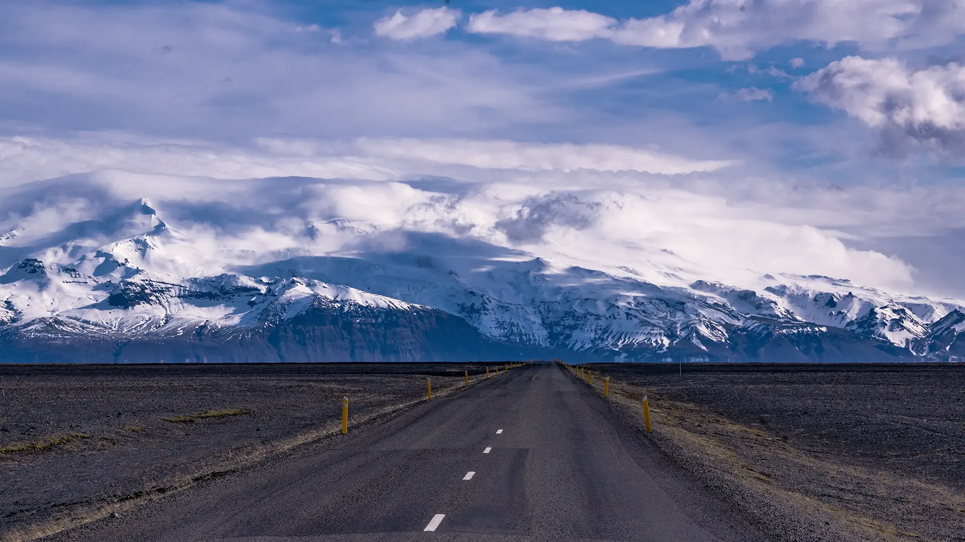
The seemingly endless straight road across Skeiðarársandur
The views from the Ring Road across this plain are so wonderful that I want to describe them at length.
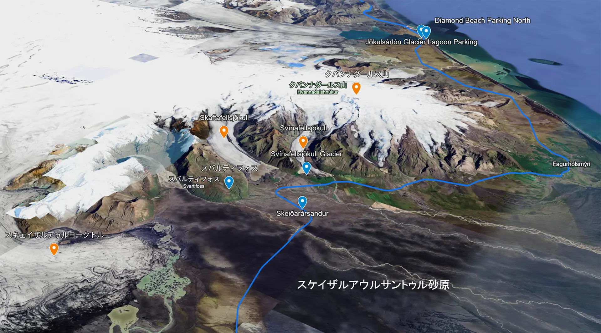
I mentioned the “mountains of Skaftafell” earlier. Skaftafell is the name of an area on the southern side of Vatnajökull, home to Svartifoss waterfall, which I describe later. It was once a national park in its own right, but became part of Vatnajökull National Park in 2008. Here, I will introduce the mountains and glaciers visible from the sand plain, including those around Skaftafell. I tried describing the scenery, but even I found the locations difficult to follow, so I made a diagram using Google My Maps. It shows the southern side of Vatnajökull, Iceland’s largest glacier, marked in white. The blue line is the Ring Road, running from the bottom of the diagram towards the top. The dark expanse at lower right is Skeiðarársandur. I took many of the photographs near the blue marker labeled “Skeiðarársandur.” The orange markers show the mountains, glaciers, and other features I photographed.
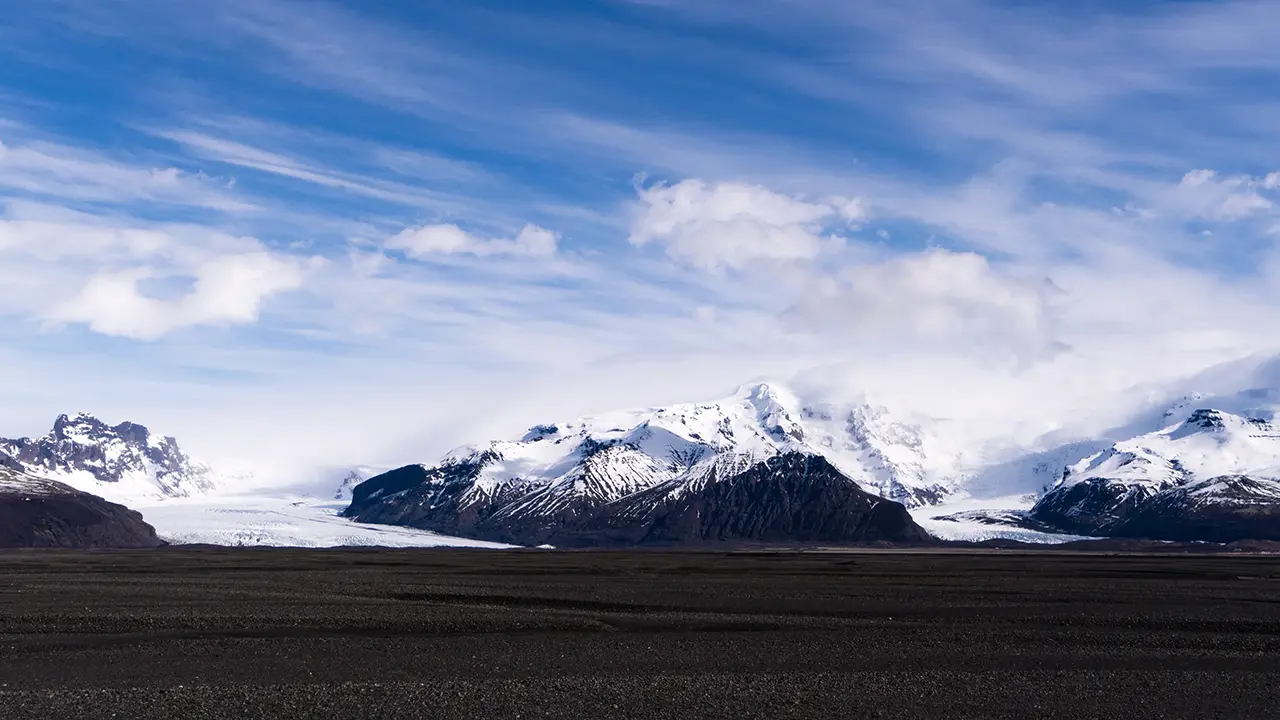
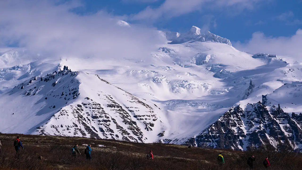
Hvannadalshnúkur, Iceland’s highest peak, stood almost directly ahead. Clouds covered the summit, but the contrasts of light and shadow gave the mountain a dramatic presence.
Skeiðarárjökull, one of the glaciers extending from Vatnajökull, appeared close by to the west. I could make out people walking towards it, perhaps setting off on a glacier hike.
The two glaciers Skaftafellsjökull and Svínafellsjökull also made an impressive sight side by side. A glacial lagoon lies at the end of Svínafellsjökull, on the right. We visited it in August.
I took the last photograph looking back west. Black sand and rocks stretch towards the mountain of Lómagnúpur in the distance.
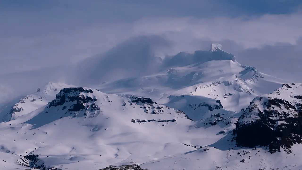
Iceland's highest peak
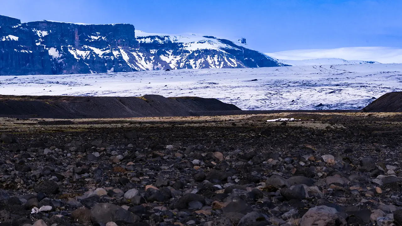
Skeiðarárjökull
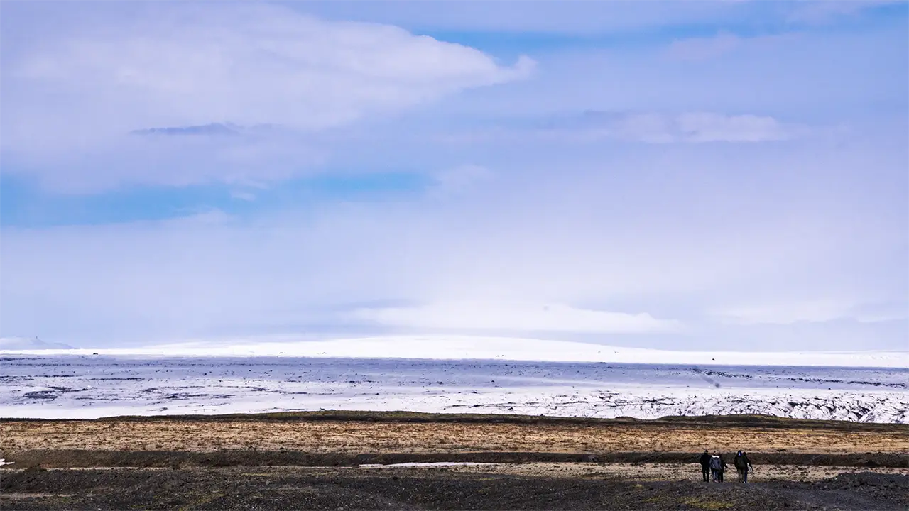
Glacier hikers are visible.
Left: Skaftafellsjökull
Right: Svínafellsjökull
Right: Svínafellsjökull
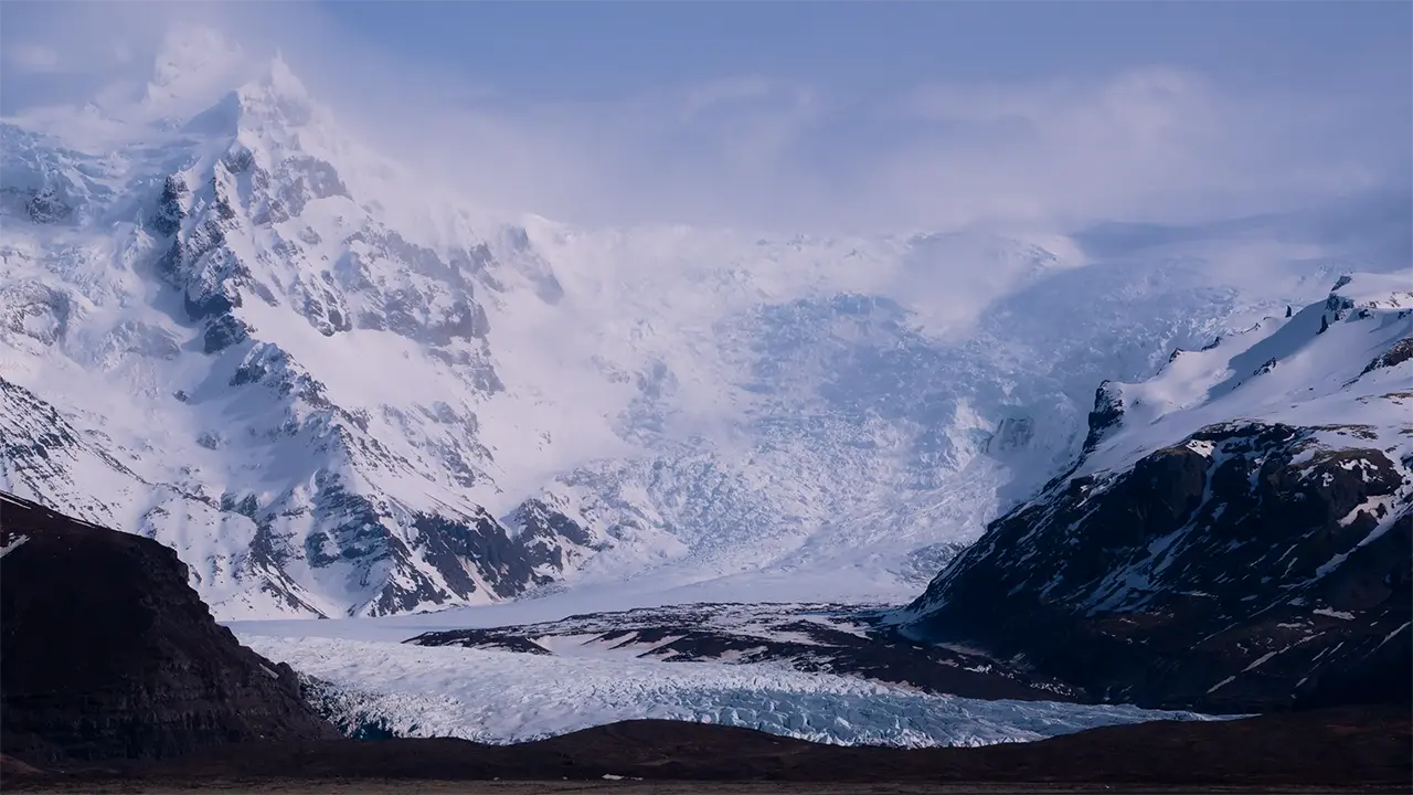
Svínafellsjökull
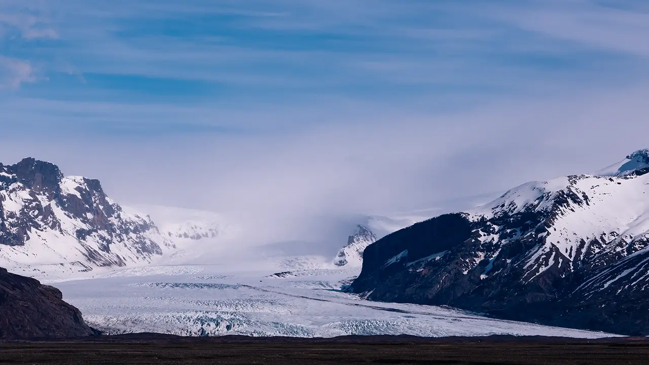
Skaftafellsjökull
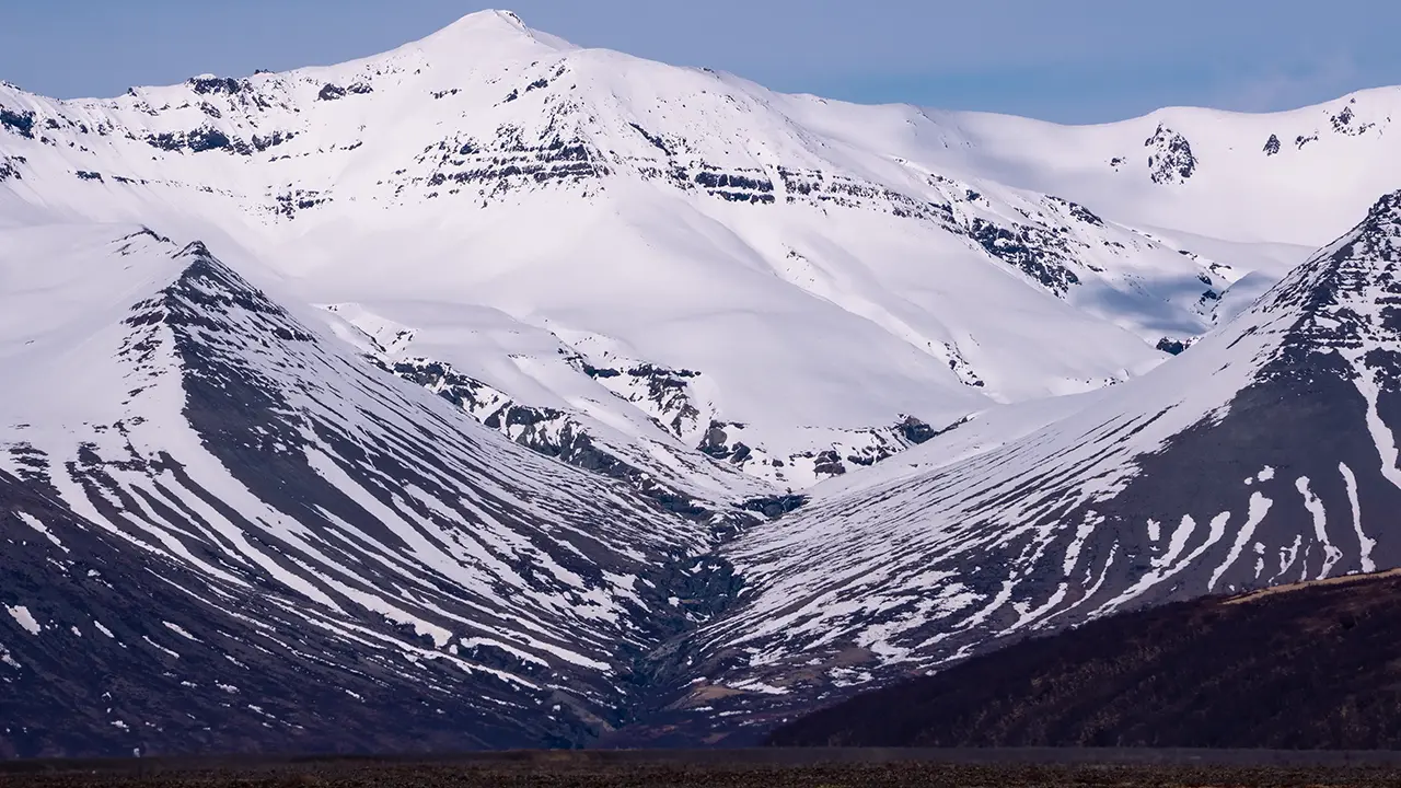
The beautifully V-shaped Hrútagil valley
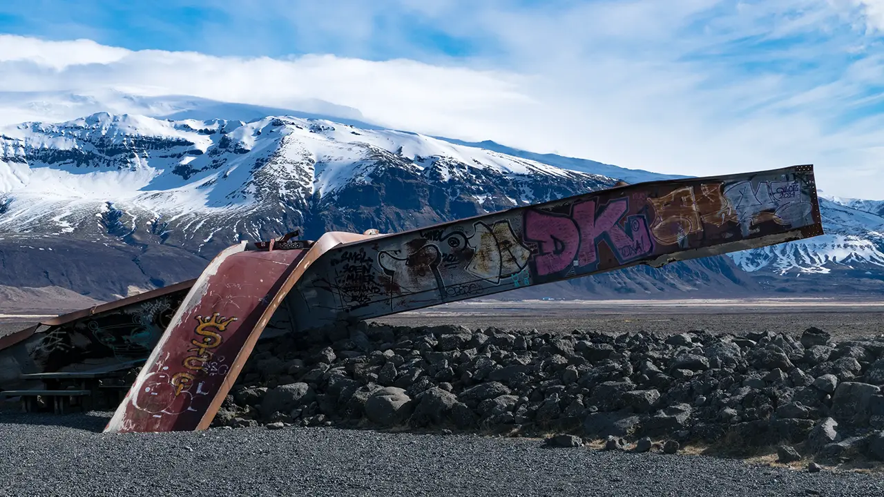
Skeiðará Bridge Monument
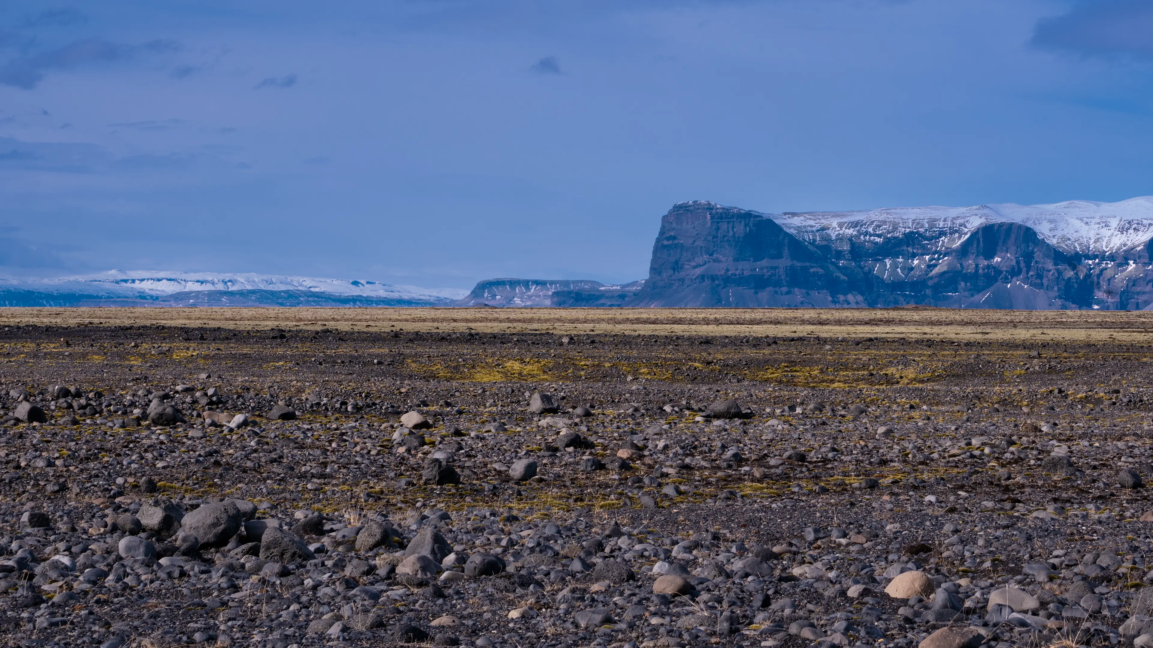
Looking southwest
The steel remains in the second-to-last photograph are part of a bridge destroyed by a flood, preserved as the Skeiðará Bridge Monument. In 1996, an eruption beneath Vatnajökull triggered an enormous jökulhlaup, or glacial outburst flood. The water carried blocks of ice reportedly as large as houses, which struck the bridge.
The vast plain of Skeiðarársandur has been built up from sediment carried by glacial rivers flowing from Vatnajökull and by jökulhlaups associated with volcanoes beneath the ice, including Grímsvötn. The 1996 flood was one episode in that continuing process.
I had been looking out over the black sand, struck mainly by its sheer extent. The remains of the bridge gave me a sense of the forces at work here. They are a reminder that the forces shaping this landscape are still at work today.
Kirkjubæjarklaustur
In April I spent two nights near Kirkjubæjarklaustur, roughly between Eldhraun and Skeiðarársandur. The scenery around the hotel was wonderful too, so I will mention it briefly before moving on to Skaftafell.
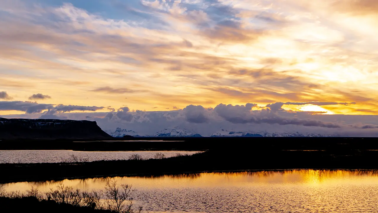
Morning scenery near the hotel
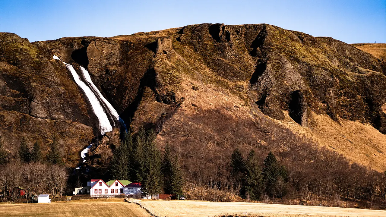
Visible behind the settlement of Kirkjubæjarklaustur.
Foss á Síðu
A waterfall near the farm at Kálfafell
A stream at Kálfafell
At the foot of Lómagnúpur
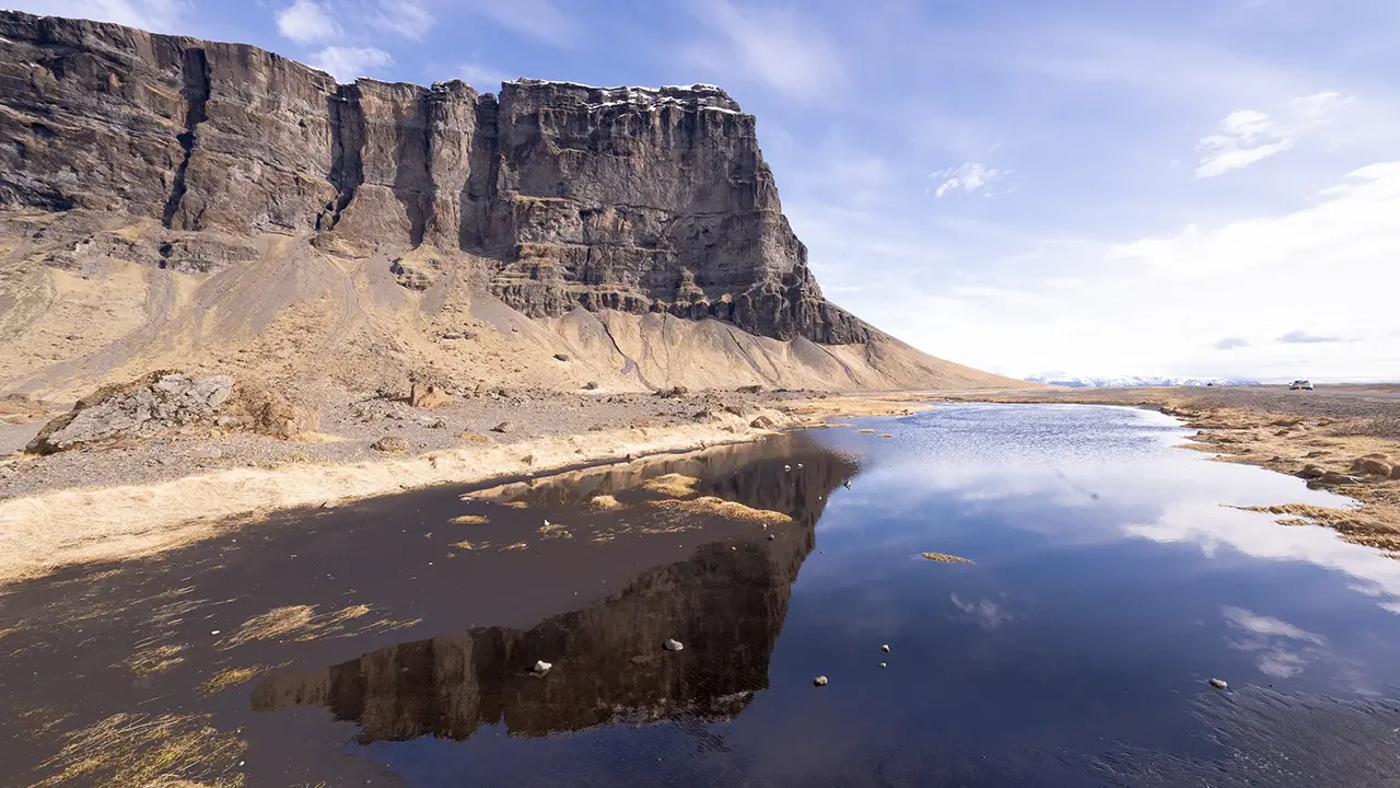
The hotel was Fosshótel Núpar, just before Skeiðarársandur when approaching from the west. It stood in the middle of an otherwise empty plain, but the morning scenery was memorable. Lómagnúpur was visible, with snow-covered mountains around Skaftafell behind it. Sunlight glittered on the ponds in the foreground. A scene with everything in it.
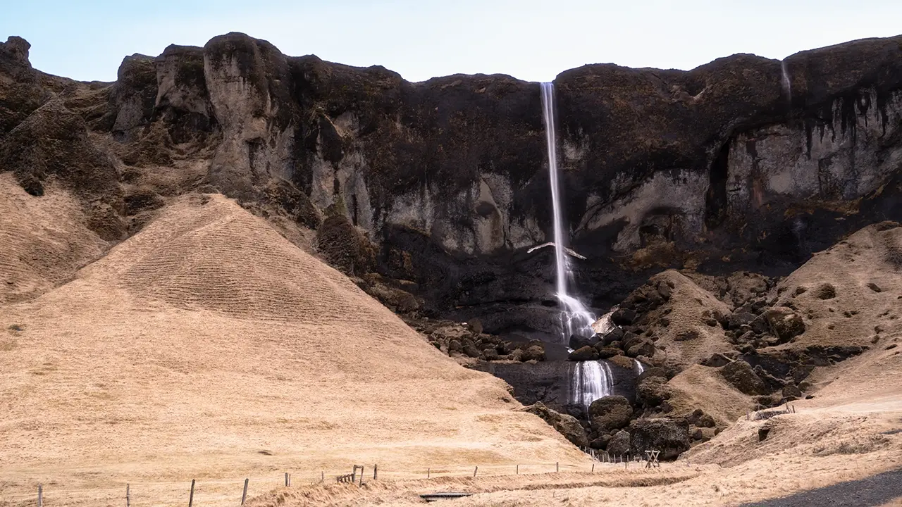
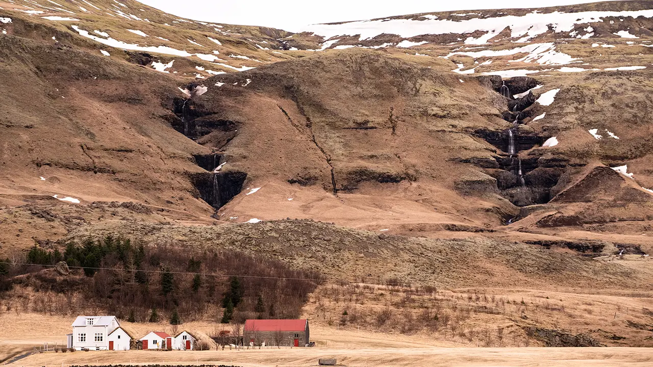
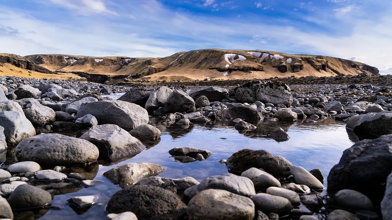
The former sea cliffs, now standing inland, run for about 40 kilometers along the north side of the Ring Road, from around Kirkjubæjarklaustur to near Skeiðarárjökull. Many waterfalls descend from them, including Systrafoss and Foss á Síðu, shown here. Even the unnamed falls have plenty of character. I found the farm at Kálfafell especially picturesque, with its farmhouse and a waterfall with two hollows, one on either side. Broad lowlands spread below the cliffs, continuing east into Skeiðarársandur, dotted with gentle streams and small lakes and ponds.
At Lómagnúpur, east of Kálfafell, this line of cliffs reaches its greatest height. Beyond the mountain, the Ring Road leaves the escarpment and heads onto the straight roads across Skeiðarársandur. Visible all the way from around Kirkjubæjarklaustur, the cliff shows many different faces along the route.
Svartifoss Loop Trail
I’ll begin with my April hike to Svartifoss in the Skaftafell area. Of all the places I visited in Iceland, this was my favorite. I particularly loved the view of the waterfall from a distance, and the scenery along the way was wonderful too!
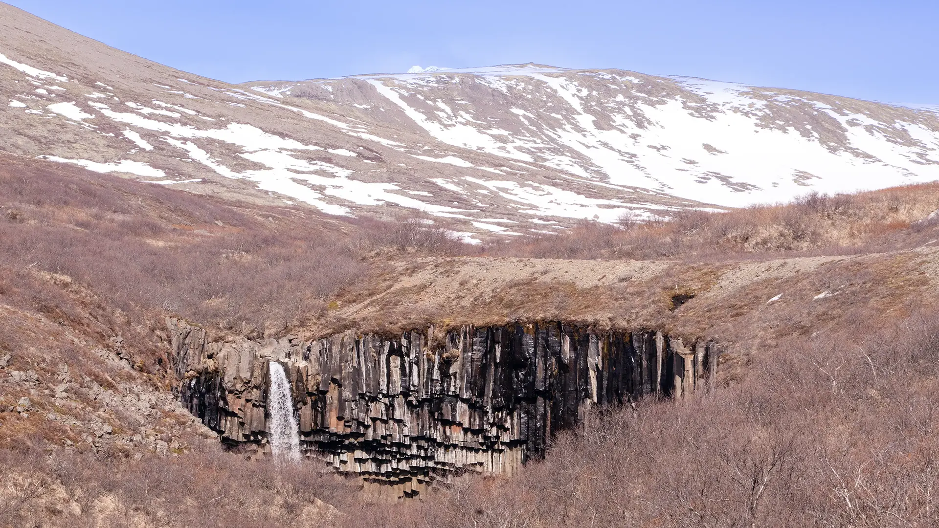
What on earth is this?! The waterfall that stopped me in my tracks.
I walked uphill from the parking lot at Skaftafell, following the Stórilækur stream and Bæjargil ravine until Svartifoss came into view. The path brought me to a point above the plunge pool. I hesitated for a moment at the thought of having to climb back up. But I had come this far—surely I wasn’t going to leave without going down to see it. So down I went.
About 300,000 years ago, lava flowed down from the Skaftafellsheiði uplands and filled an old river channel. As it slowly cooled, it contracted and split into columns, forming the dark basalt cliffs around Svartifoss. The river flowing through Bæjargil then wore away the base of the cliffs. With their support undermined, sections of rock above collapsed, causing the cliff face to retreat upstream. This repeated process of erosion and collapse is thought to have shaped the waterfall we see today.
Glaciers and running water have also shaped the surrounding valleys and slopes. Thinking about how they formed, I realized that my walk had taken me through more than just beautiful scenery. The trail to Svartifoss traced a landscape shaped over hundreds of thousands of years.
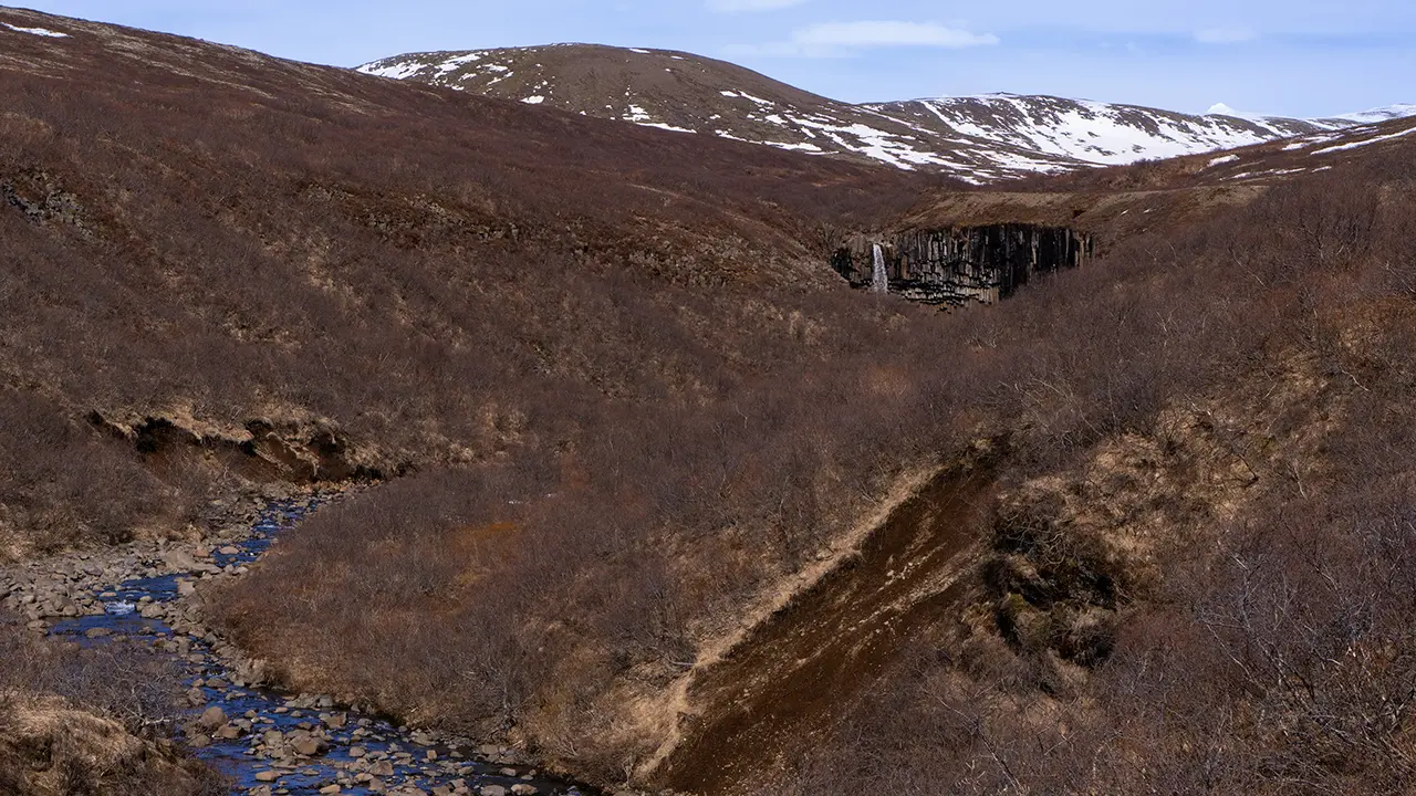
Glimpses of the falls upstream
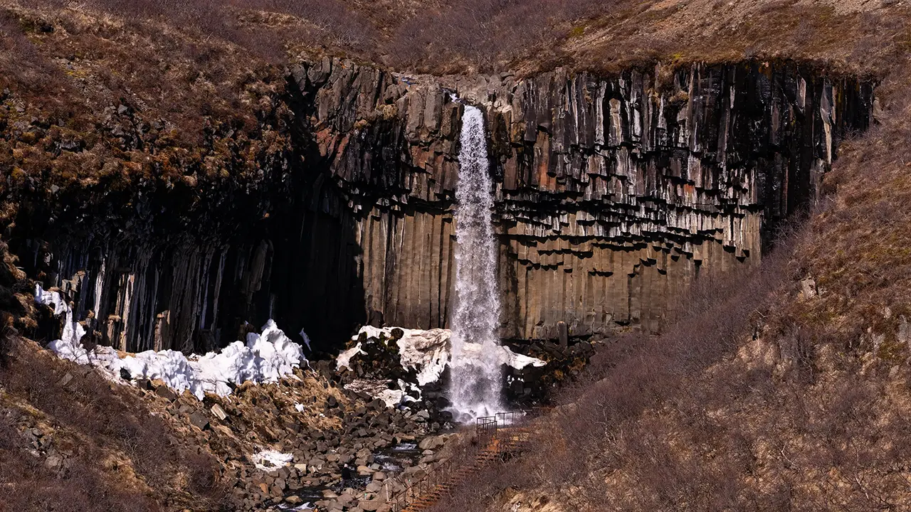
Looking down towards the falls
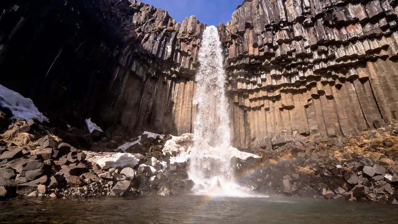
Down by the plunge pool. Made it!
I didn’t want to retrace my steps, so I took the route farther east, marked S6 at the time. What a choice that turned out to be—one breathtaking view after another!
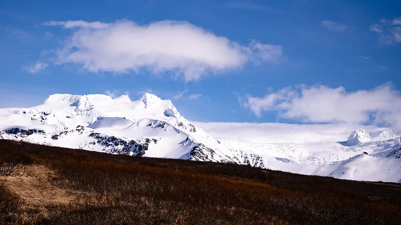
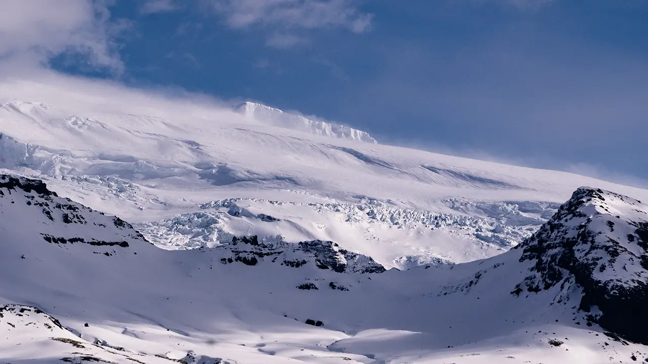
Beyond the falls, a brilliant white expanse suddenly opened up before me, almost dazzling against the blue sky. I barely remember the walk itself. I was too busy taking in the scenery.
I looked up the names of these mountains and glaciers while writing this travelogue. Here is what I found.
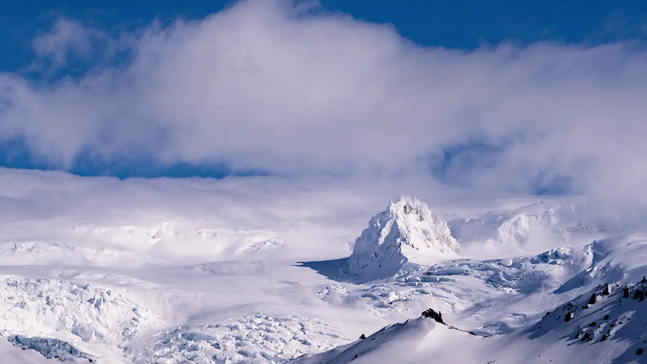
Kristínartindar stands to the left, towards the north, with the vast, gently sloping expanse of Vatnajökull stretching away behind it. A jagged white shape rises to its right. This appears to be a nunatak—a rocky peak projecting above the surrounding ice.
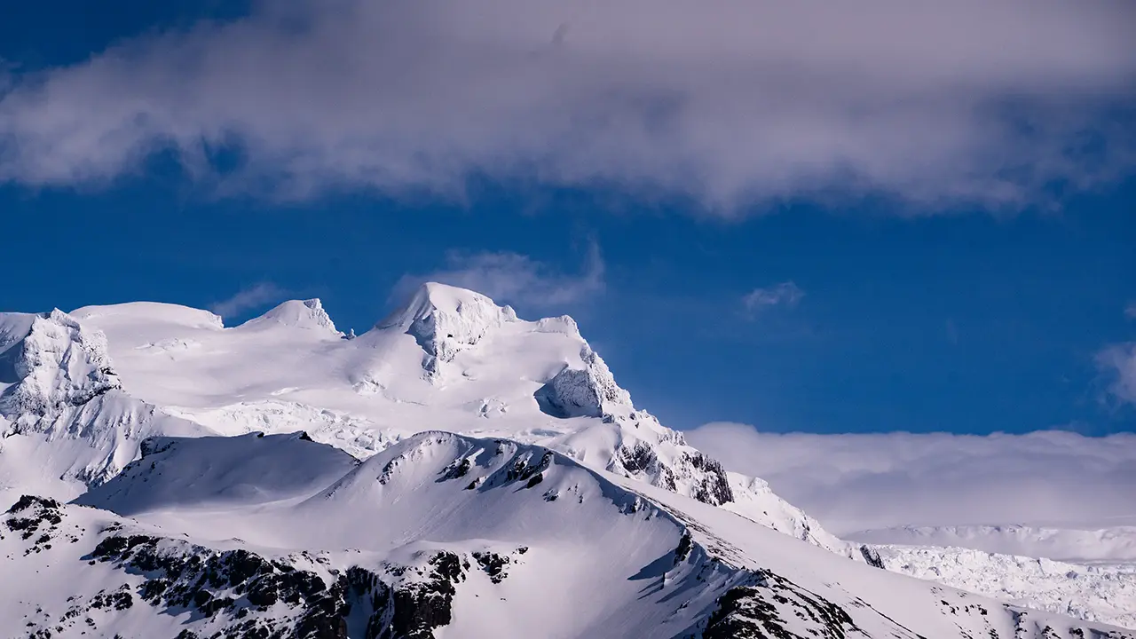
My gaze followed the upper reaches of Skaftafellsjökull farther to the right. Above the glacier, Hvannadalshnúkur, Iceland’s highest peak, peeks through the clouds.
Farther right again, the upper reaches of Svínafellsjökull come into view. An iceberg-like peak rises above them, apparently one of the summits of Hrútsfjallstindar.
I’ll say it again: the whole panorama was simply breathtaking.
Vatnajökull stretching away to the north
Kristínartindar on the far left
A rather cute nunatak, like a rolling snowball
The imposing upper reaches of Skaftafellsjökull
Svínafellsjökull, with an iceberg-like peak above
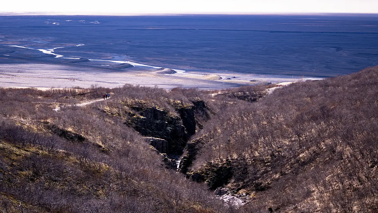
The path down the valley,
with the slightly eerie black sand plain below
with the slightly eerie black sand plain below
It was a wonderfully refreshing walk of about two hours.
I reached the parking lot and found that the view was just as beautiful from below. I went a little farther away to take some more photographs.
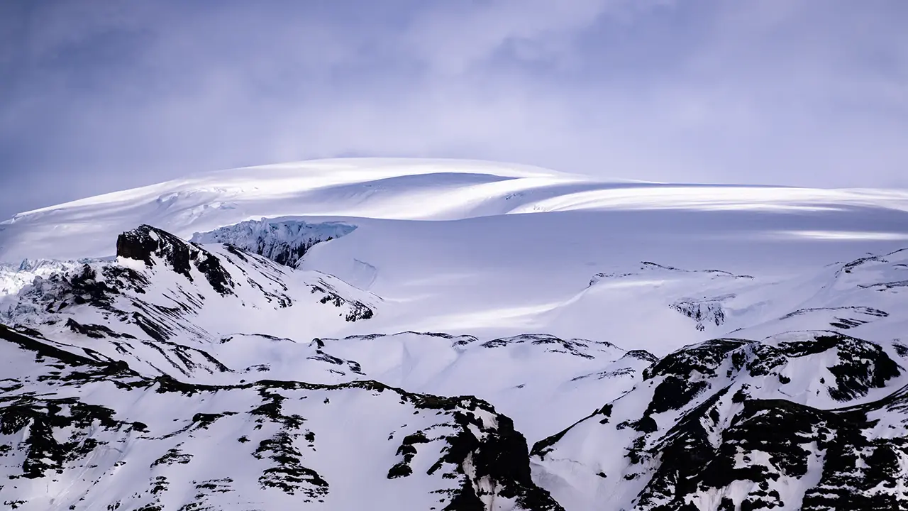
A snow-covered dome towards Öræfajökull
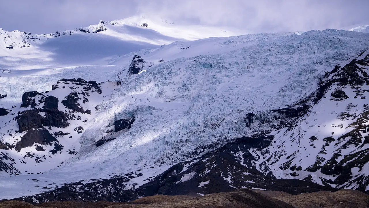
The Skaftafellsjökull glacier tongue
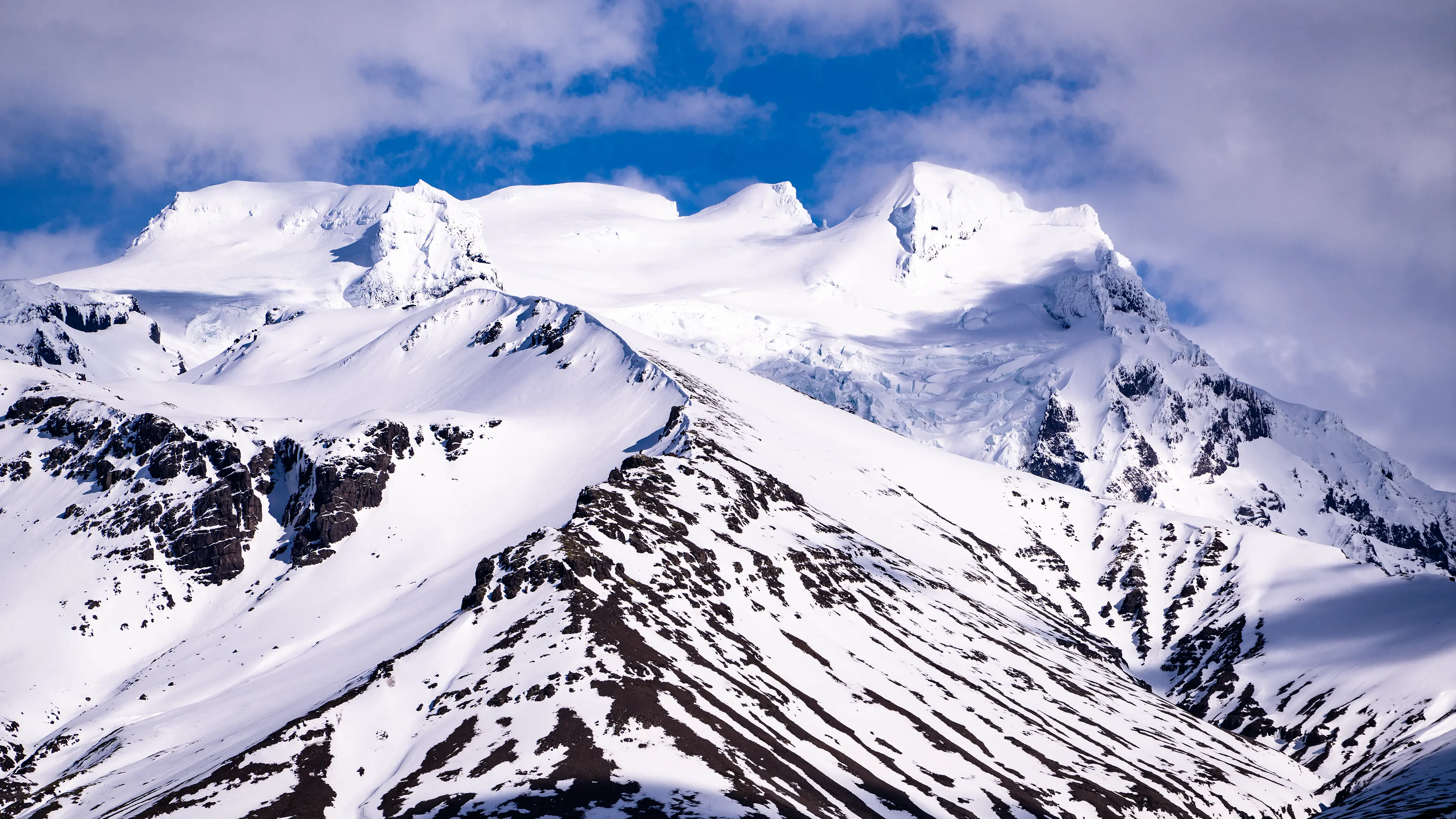
Hvannadalshnúkur, Iceland's highest peak
Yes, breathtaking. Again.
There was one other thing I had hoped to do in April: see a blue ice cave. I asked about joining a tour at the Skaftafell Visitor Centre, but was told that the caves had already closed for the season because of the risk of melting and collapse. Visits had ended in March, so I had to give up the idea. Nature, unfortunately, doesn’t always go along with our plans.
Svínafellsjökull Glacier Lagoon
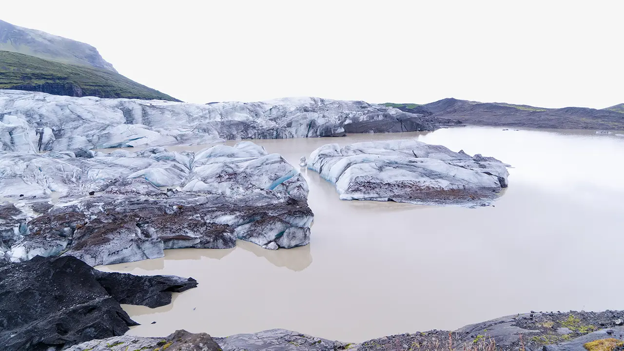
We had barely left the minibus in the nearby parking lot when the glacial lagoon opened up before us. A short walk along the cliff brought Svínafellsjökull itself into view.
The shore rose steeply, like the upper wall of a U-shaped valley. Loose earth and stones seemed to lie on top, and the edge looked ready to give way. I was nervous enough to keep well back. Then the guide said, “Someone stepped backwards while taking a photo and fell. Last year, I think. That water’s cold—you wouldn’t last long. Watch out.” Some of the details sounded a little made up, but there apparently had been a fatal fall the previous year. It was certainly a place to watch my step.
In 2016, we could still drive to a basic parking area right in front of the glacier. Cracks had been identified in Svínafellsheiði, the mountainside above Svínafellsjökull, as early as 2014. More were found in 2018, prompting warnings of a possible large rockslide. The road to the old parking area was subsequently closed to vehicles, and a new parking area has apparently been established farther away.
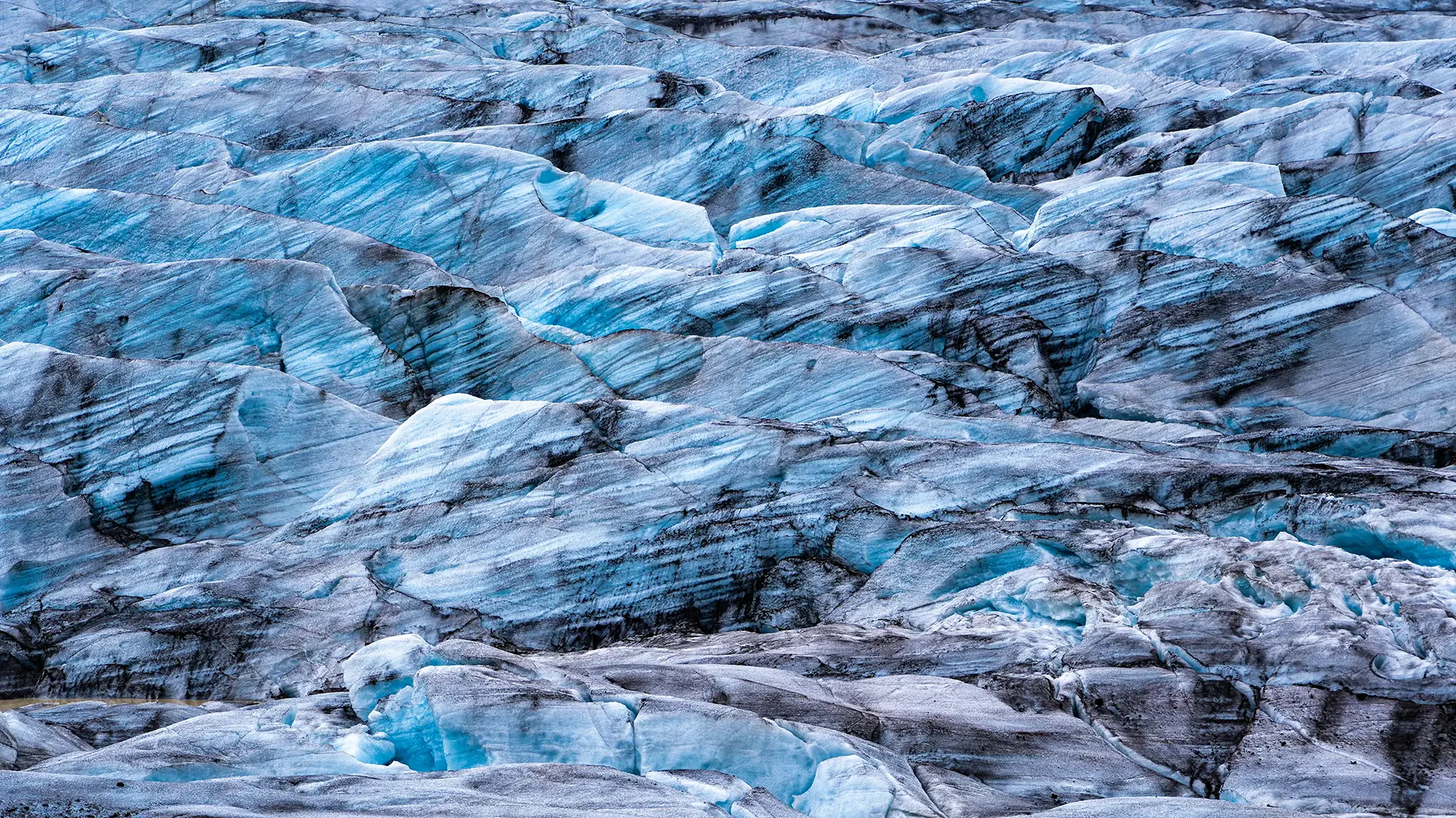
The glacier, filling the frame! I had seen a photograph like this before and tried something similar. But it made me realize what had made the original work so well: a climber in a red anorak.
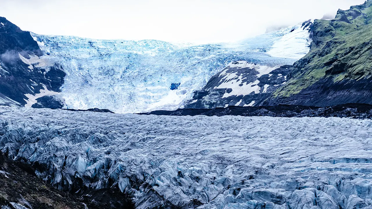
Looking up at Svínafellsjökull
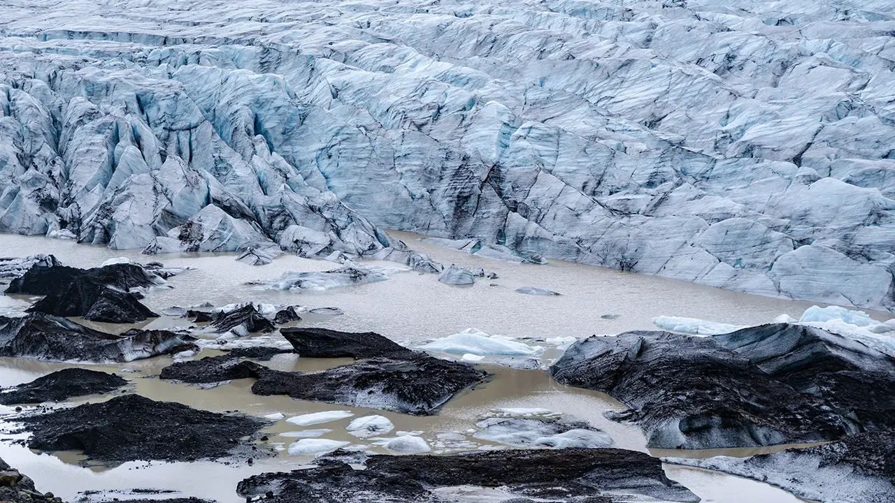
The glacier’s snout, almost straight ahead
Where the glacial lagoon begins
Svínafellsjökull has apparently appeared in films and television series including Interstellar, Batman Begins, and Game of Thrones. I could see why: the landscape would look quite at home as a frozen planet or an unexplored wilderness.
We left the lagoon and drove around the southern side of Öræfajökull to Jökulsárlón, a journey of just under an hour.
I took the next three photographs in April, from a roadside parking area a little before Fjallsárlón. The first looks back west, with the Fjallsá River flowing across the sand plain in the foreground and the mountains around Hnappavellir beyond. This is Öræfajökull from another angle. The second shows the broad expanse of ice stretching towards Fjallsjökull, and the third shows the Hrútárjökull glacier tongue almost directly ahead.
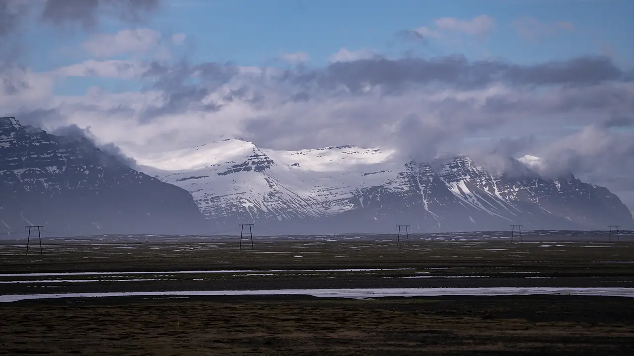
Öræfajökull, imposing even from the east
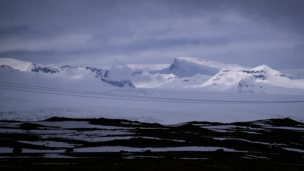
A glacier beyond the power lines
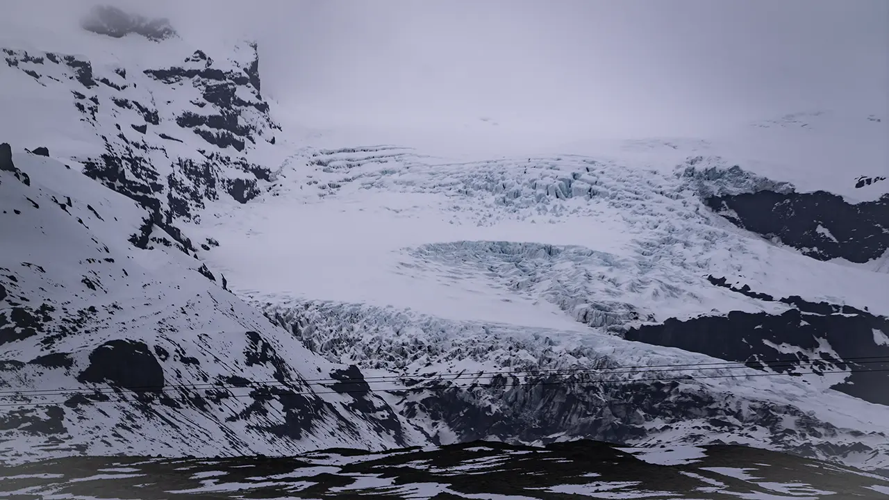
A glacier tongue
I was on my way to Jökulsárlón, and the skies here were cloudy, so I decided against the detour to Fjallsárlón. There was a different quality to the overcast light here, giving the landscape a lonely, desolate feel. Still, it rained in August, so perhaps I was lucky to have seen even this much of the area in April.
Those power lines, incidentally, really bothered me when I was taking the photographs. I was already thinking about editing them out later. Yet when I came to identify the location for this travelogue, they turned out to be an important clue. You never know what might come in handy.
Jökulsárlón
The famous Jökulsárlón was a stop on both my April and August trips.
My April visit lasted more than four hours, including time at Diamond Beach, and I stayed until dusk. That was how much the place captivated me. Even the otherwise hurried August tour gave us a full hour here. The photographs below are a mixture from the two visits.
The minibus crossed the bridge on the Ring Road and pulled into the Jökulsárlón parking lot on the left. We had an hour to explore on our own before meeting at the Diamond Beach parking lot back across the bridge. That gave us time to see both the lagoon and the beach.
My wife and I first climbed the small hill north of the parking lot to take in the whole lagoon. Then we walked along the shore and followed the river back to the bridge, before returning to the lagoon to see it from a different angle. Only then did we head over to Diamond Beach. The walk between the two parking lots would take about fifteen minutes, so we allowed roughly thirty minutes for the lagoon and fifteen for the diamond ice.
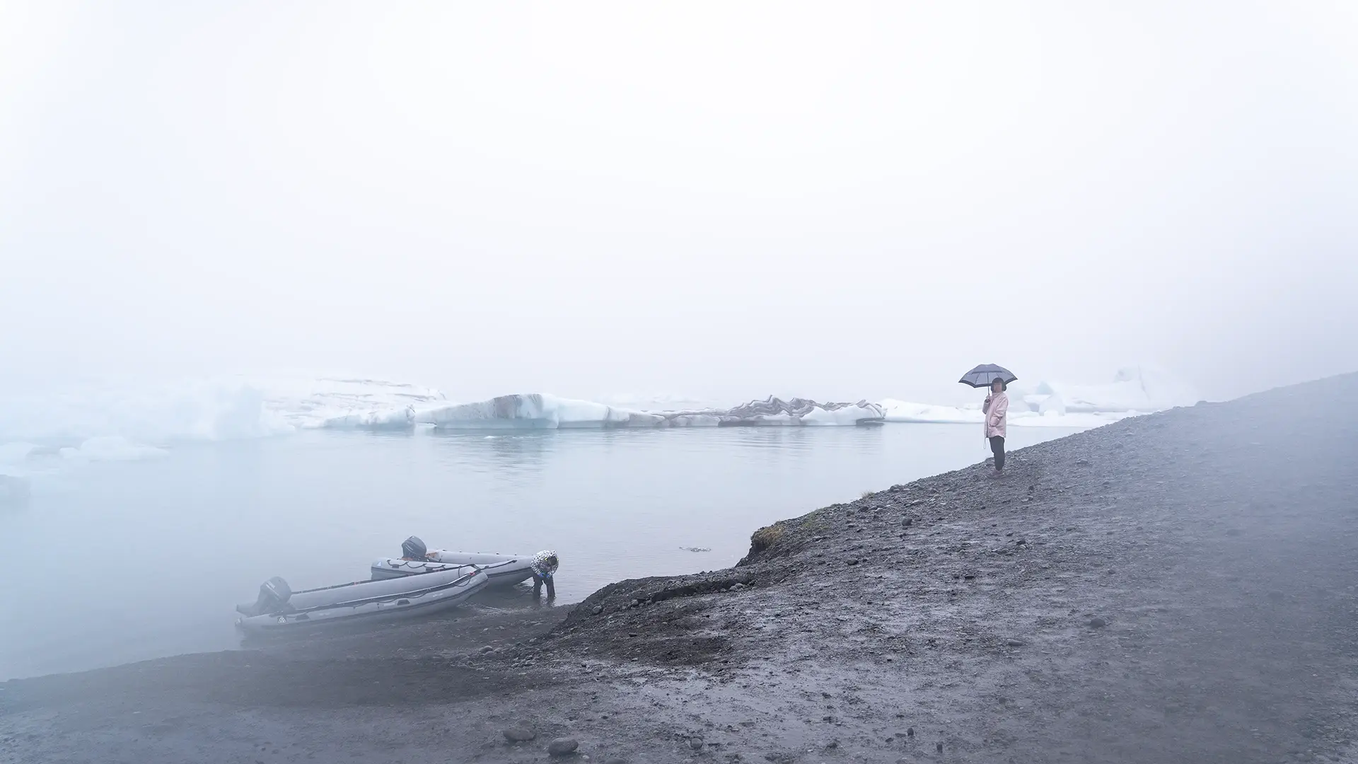
Jökulsárlón veiled in rain in August. Even in summer, it was cold enough to need a down coat.
The next three photographs were also taken in August. Even the icebergs appeared hazy, and the photographs captured something of the quiet desolation of the far north.
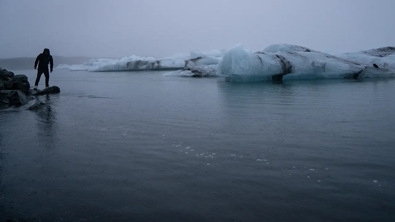
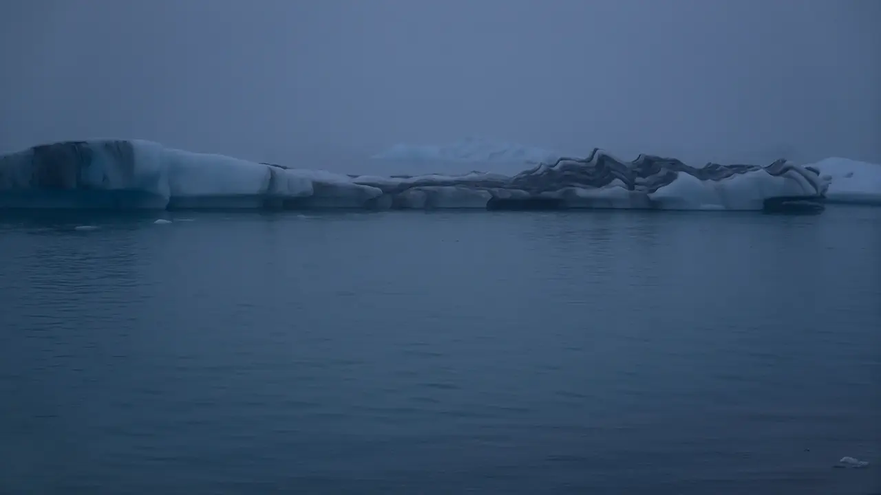
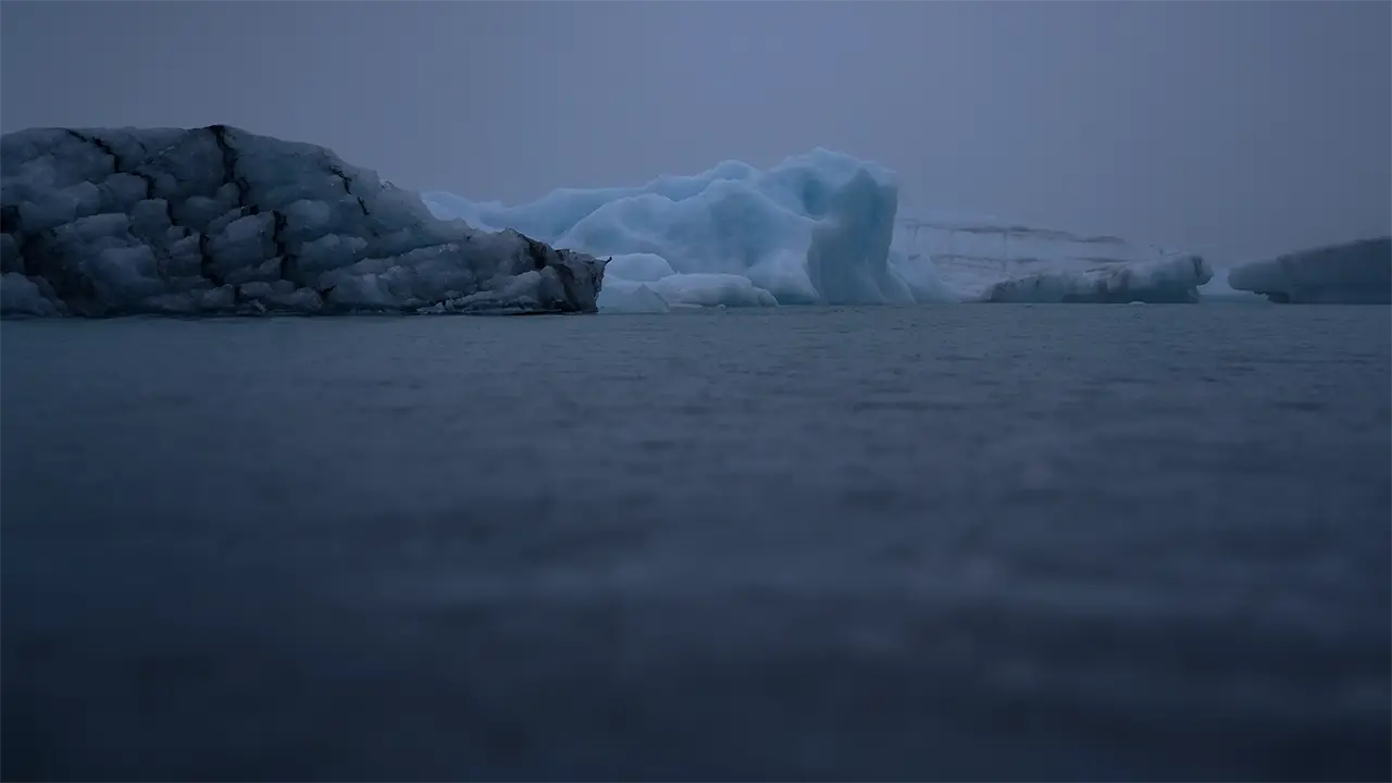
I remember the person in the photograph on the left dipping a hand into the water, then making a gesture that seemed to say just how cold it was.
April brought much better weather. During the four hours or so I spent here, there were moments when the whole landscape was bathed in sunlight. The photographs that follow are from that visit.
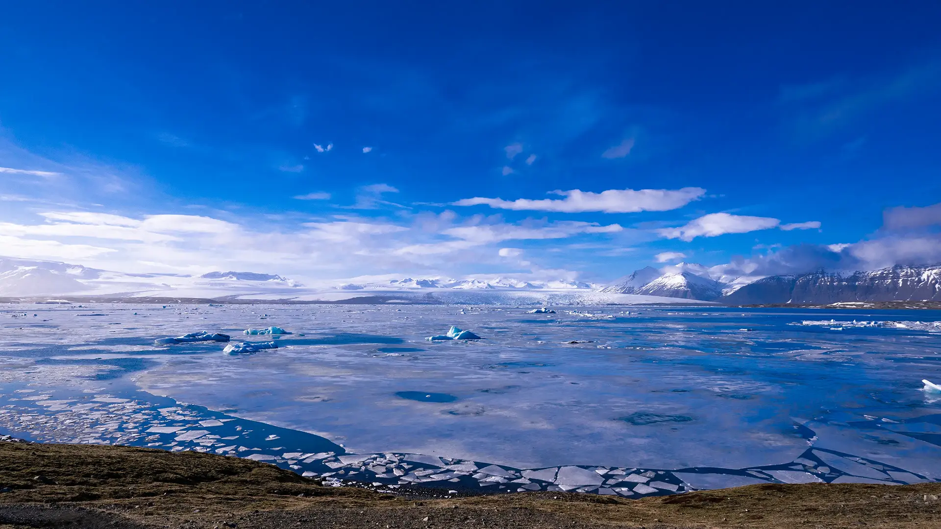
Sunlight across the whole scene—what luck! Blue sky, white ice, and reflections on the lake. A rare chance for a photograph like this.
The broad white expanse in the background is Breiðamerkurjökull, with icebergs scattered across Jökulsárlón in front of it. The mountains at the back on the right extend from Fellsfjall towards Veðurárdalsfjöll. I took this photograph from a hill on the western shore.
I moved between several parking areas that afternoon, but spent most of my time at the small one before the bridge, on the western side. A short walk over a hill that looked like a moraine brought me to a view I particularly liked. There were far fewer people here too, so I could take my time. The shore by the main parking lot had its advantages, though: more icebergs close at hand, and the sun setting straight ahead. Both sides had something to offer, so I kept going back and forth.
I have heard that Justin Bieber’s video was filmed on the western shore, though I don’t know whether that is true. The quieter setting and the way the icebergs were scattered looked familiar enough. But the first shot of Jökulsárlón in the video seems to look west from near the main parking lot. So I’m still not sure.
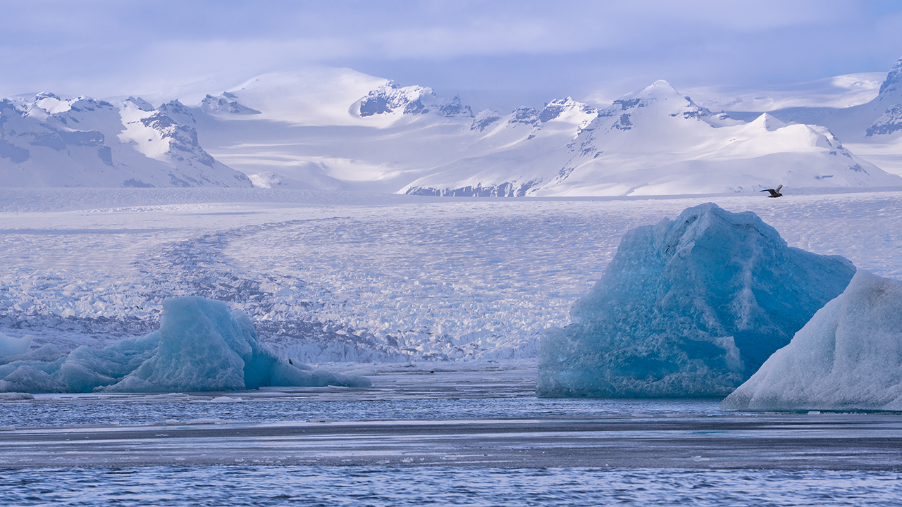
Blue glacier ice, blue icebergs. Breiðamerkurjökull beyond.
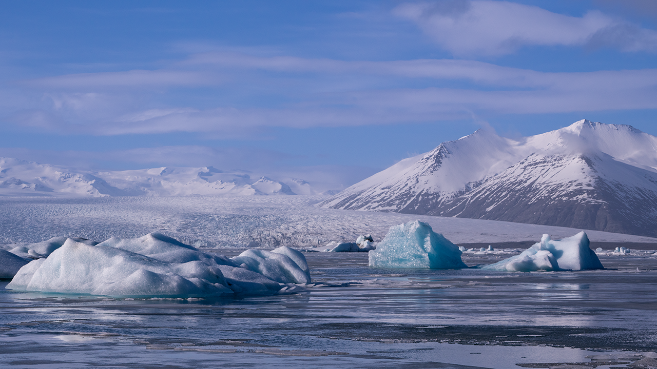
A little farther right, towards Veðurárdalsfjöll
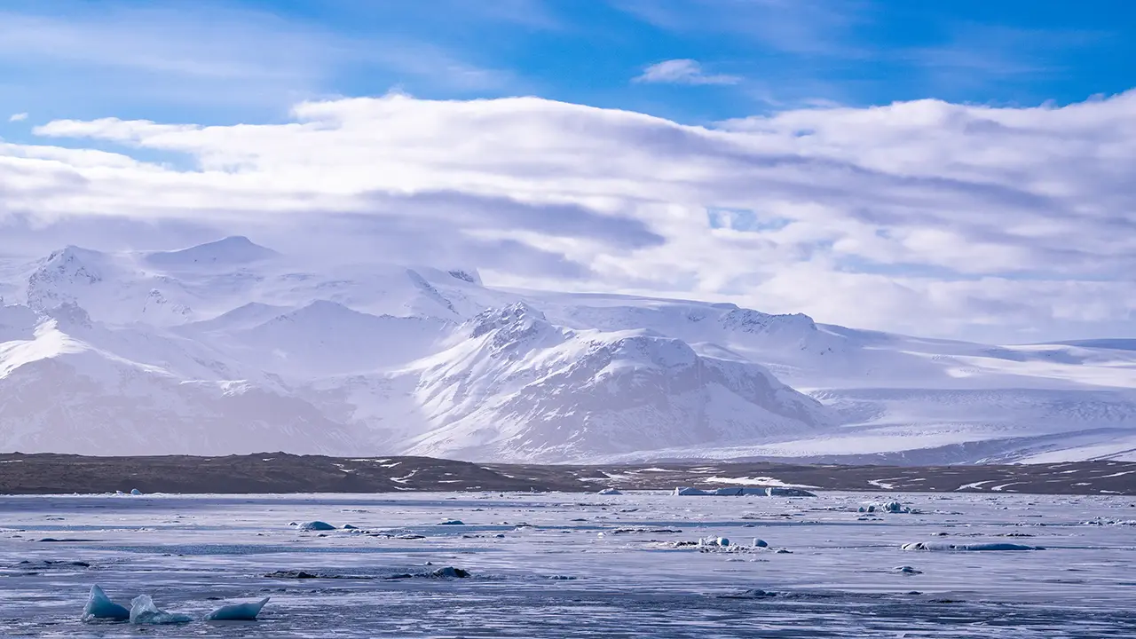
Breiðamerkurfjall to the west
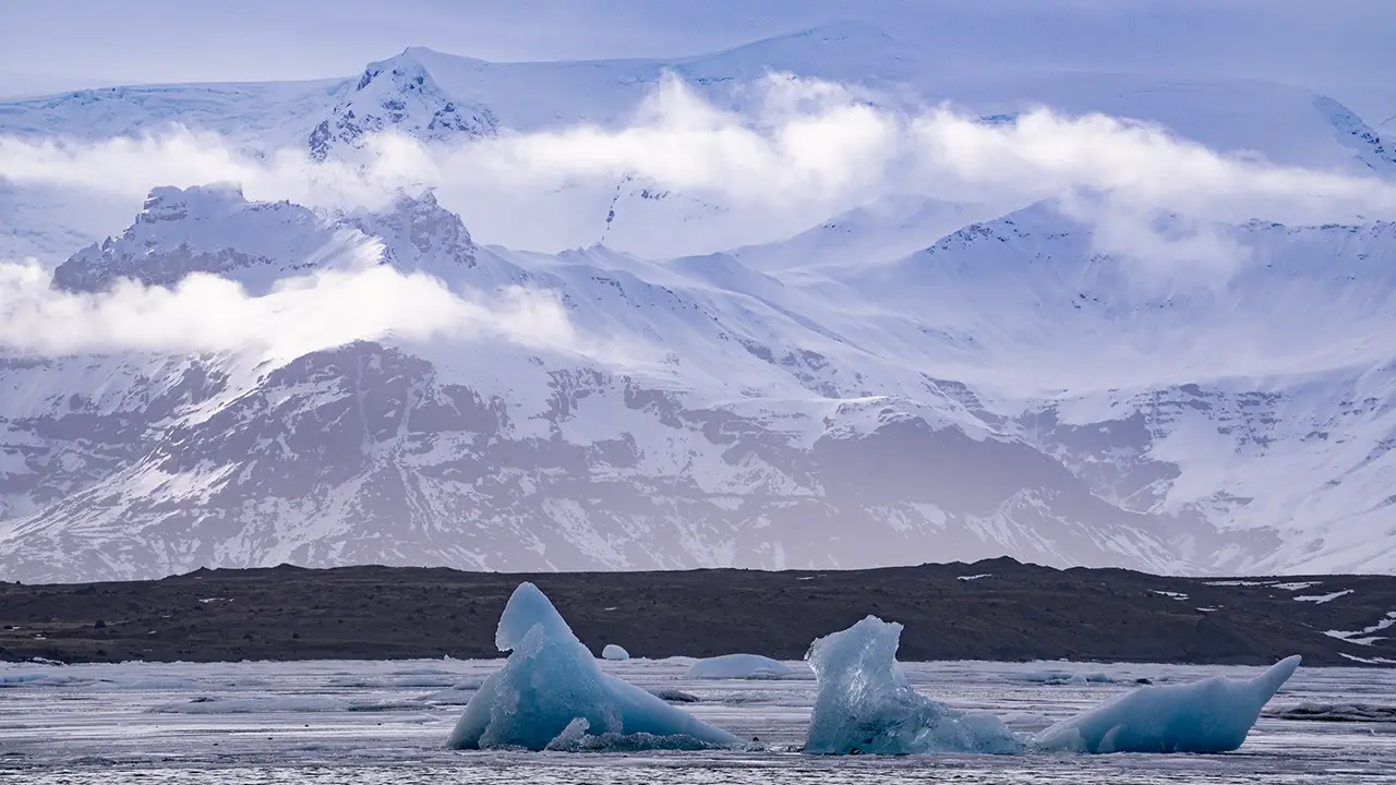
The western view, this time
with a telephoto lens
with a telephoto lens
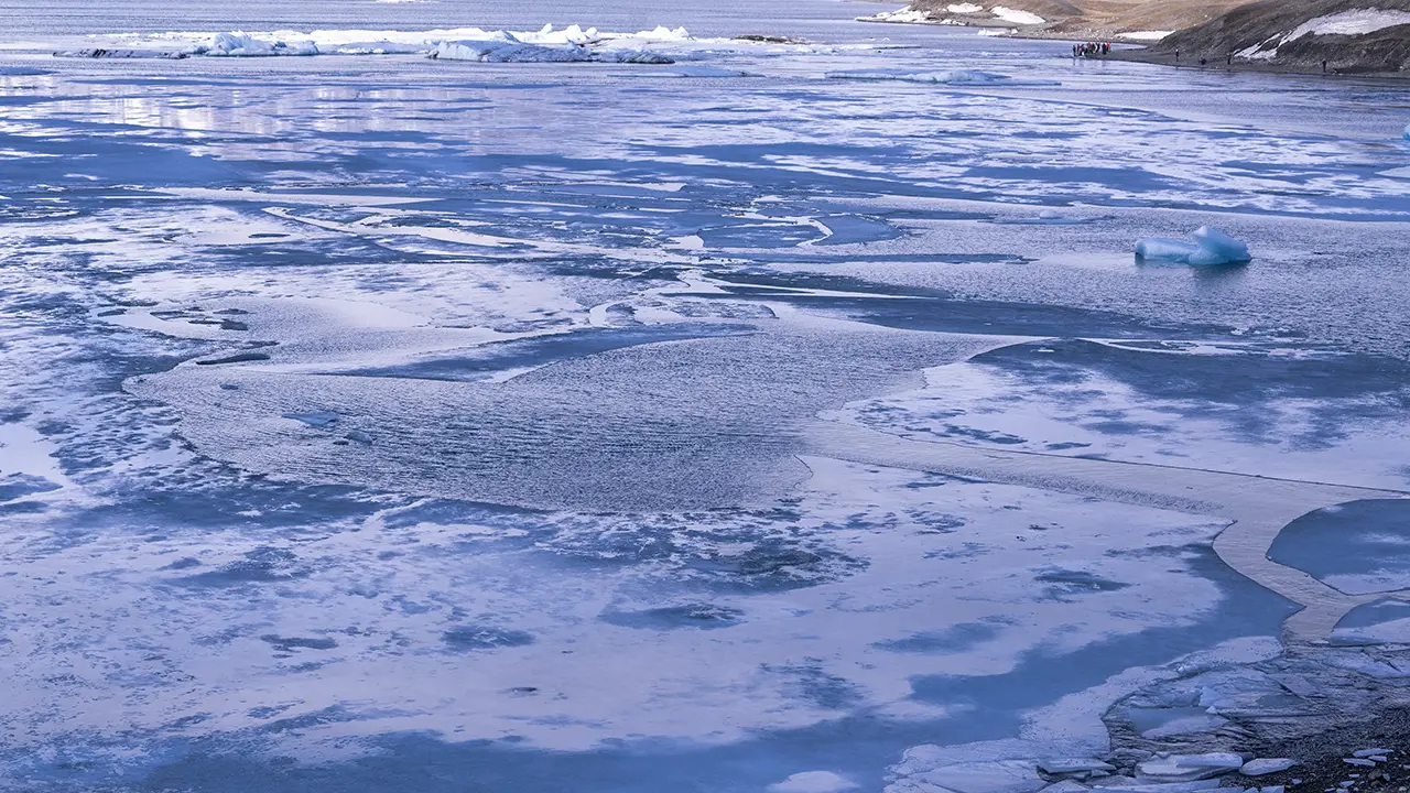
Drifting ice. People on the opposite bank,
near the main parking lot.
near the main parking lot.
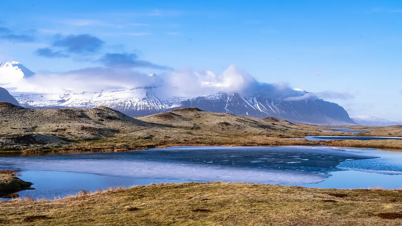
Somewhere along the way, perhaps looking southwest. I can’t recall the spot.
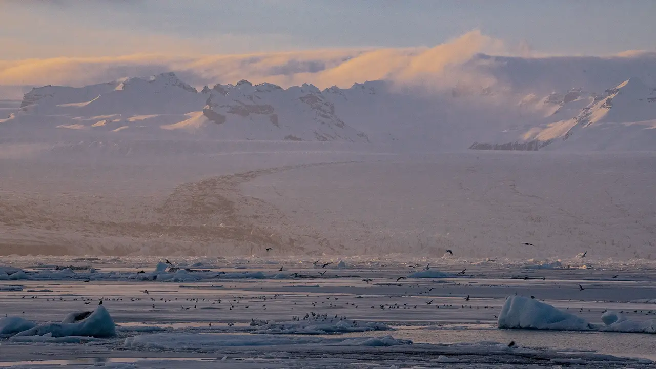
The first evening colors in the clouds.
Birds gather near the glacier’s snout.
Birds gather near the glacier’s snout.
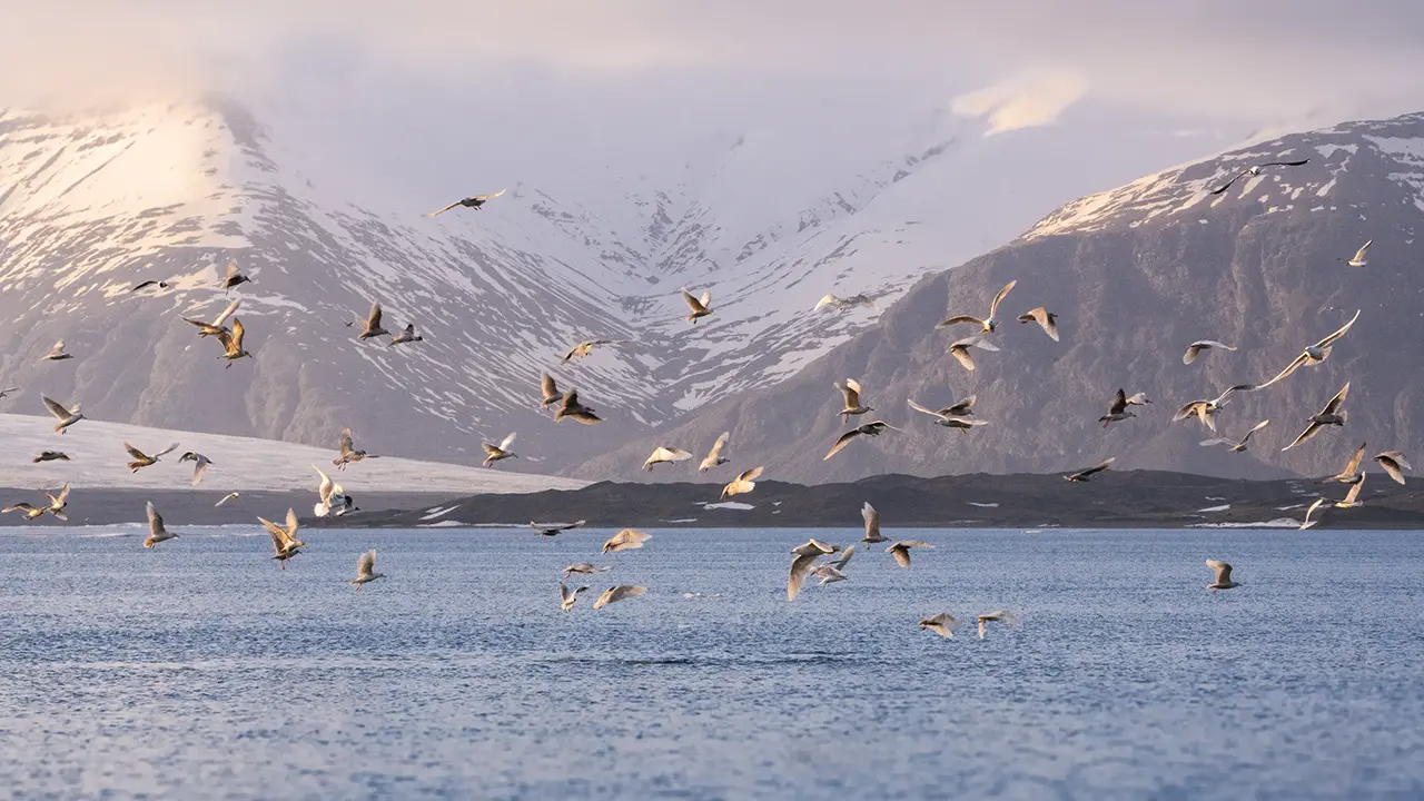
Gulls, perhaps. Part of the early-spring scene.
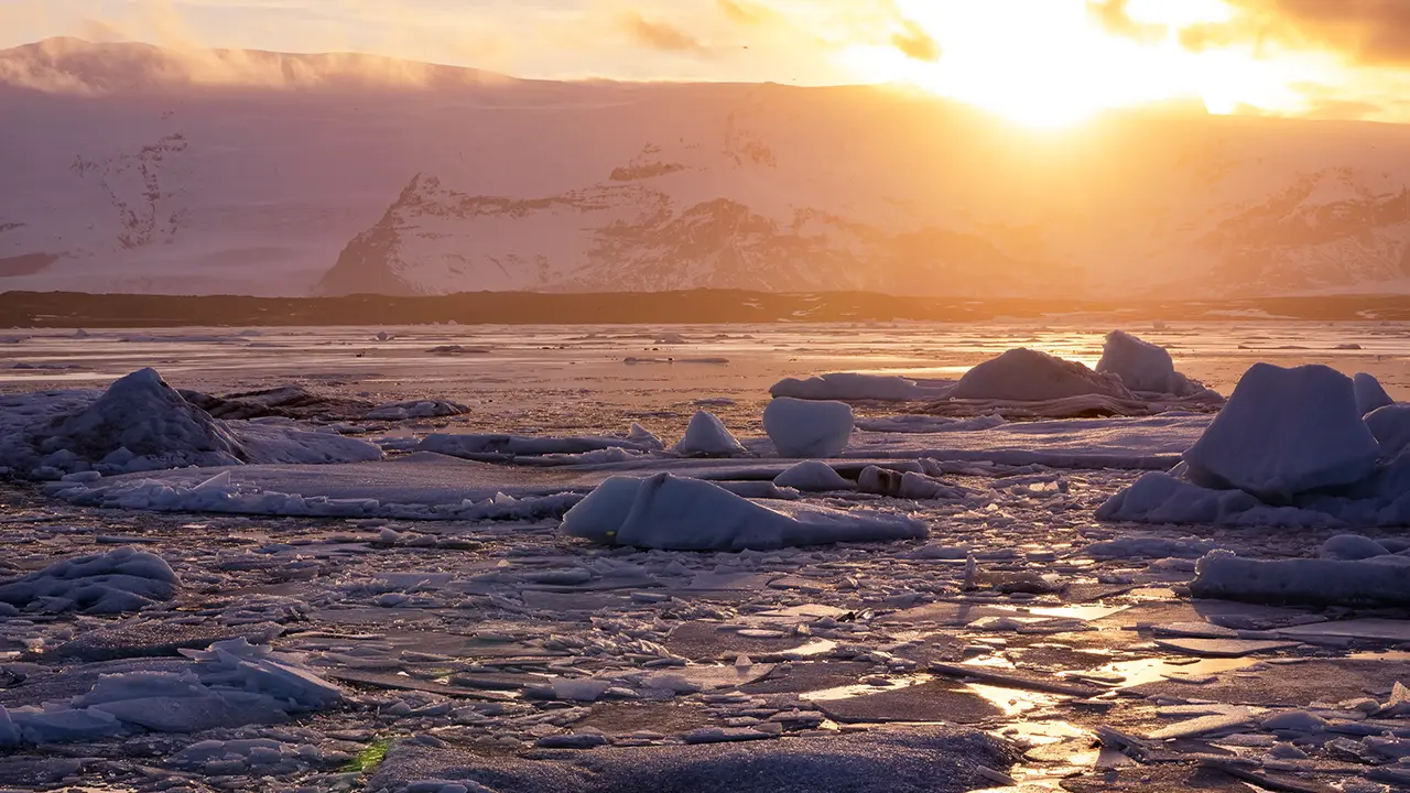
Almost sunset,
from the shore by the main parking lot
from the shore by the main parking lot
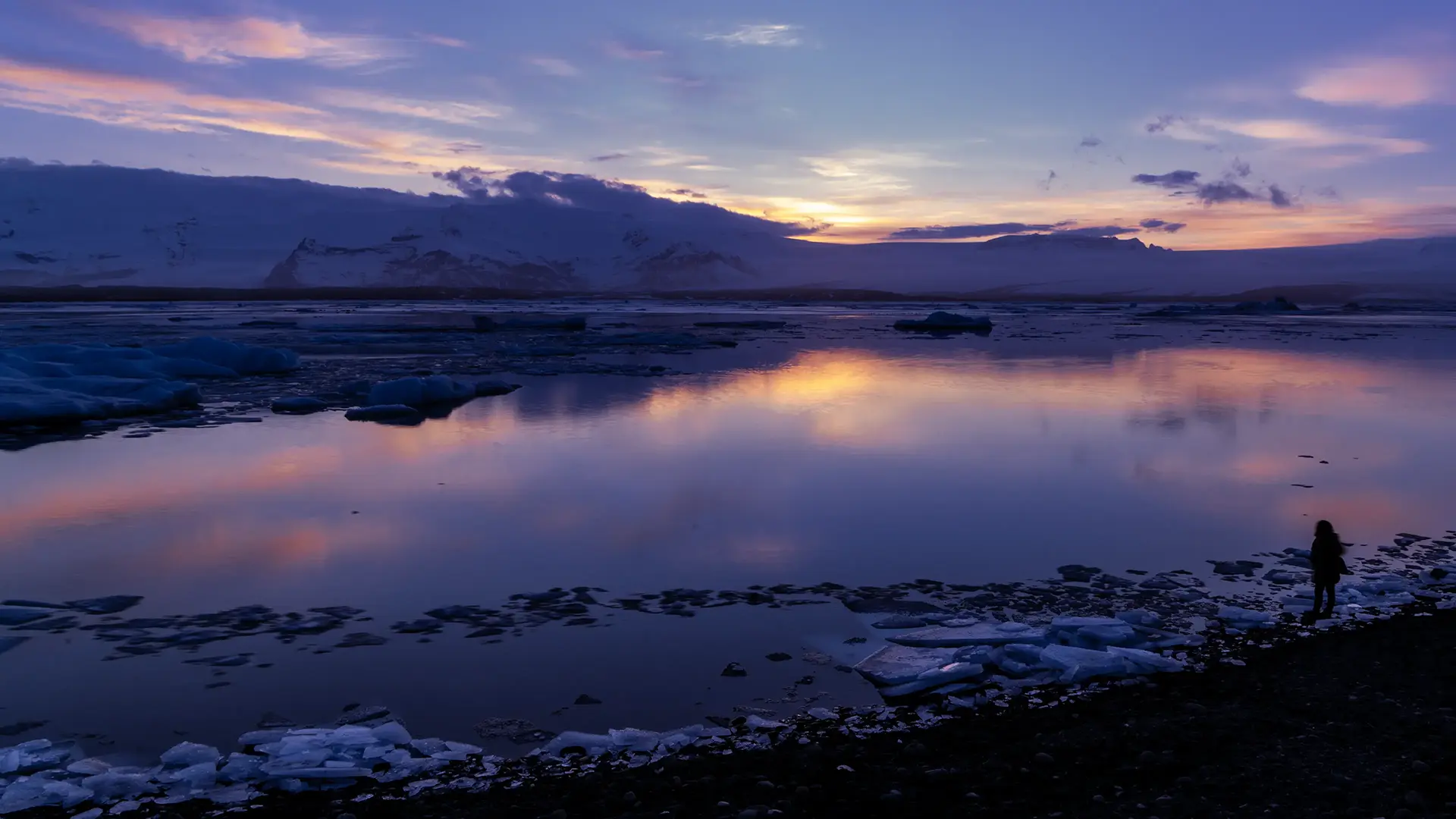
This was taken just after sunset, from a hill on the western shore. The reflections on the water were beautiful.
I watched the sunset from the shore by the main parking lot, then went back to the western side. Icebergs close to the main shore hid much of the water from view. Perhaps the more open water on the western side would reflect the evening sky, I thought. It turned out to be exactly the right move.
Jökulsárlón lies at the foot of Breiðamerkurjökull. Like Svínafellsjökull, which we had just visited, this glacier flows out from the vast Vatnajökull ice cap. Over time, it carved a deep trough into the land beneath it. As the glacier retreated, water filled the hollow it left behind, forming the lagoon. The trough is reportedly 200–300 meters deep and extends about 25 kilometers inland. The lagoon itself is much younger: it began to form in the 1930s and has continued to grow as the ice retreats.
Large blocks of ice break away from the glacier’s edge and fall into the lagoon, a process known as calving. The word comes from “calve,” meaning to give birth to a calf. Written in Japanese, though, “calving” looks just like “curving.” I initially wondered what was supposed to be bending! The icebergs released by this process drift across the lagoon, giving it the distinctive appearance seen in these photographs.
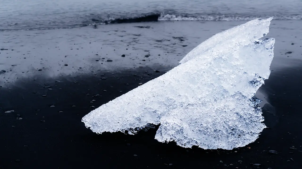
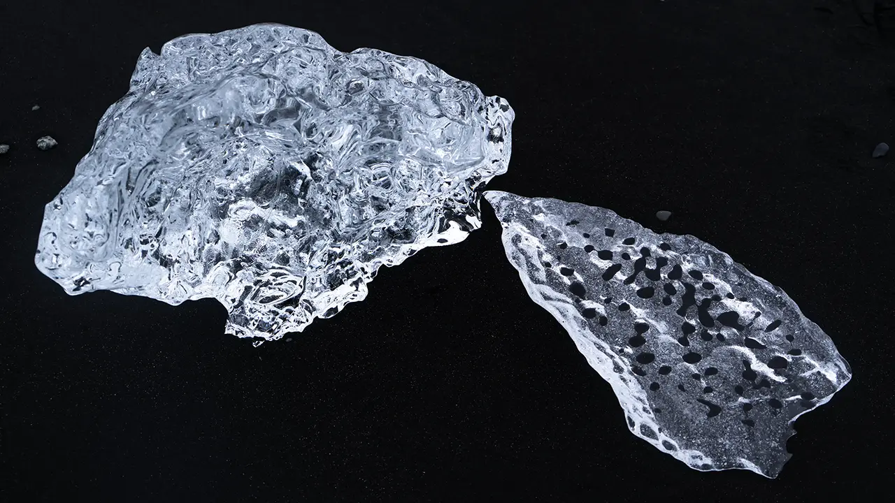
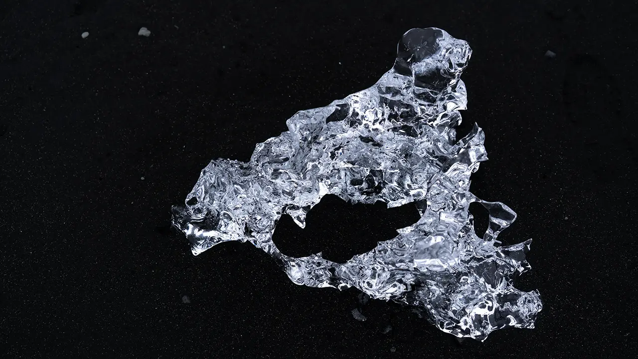
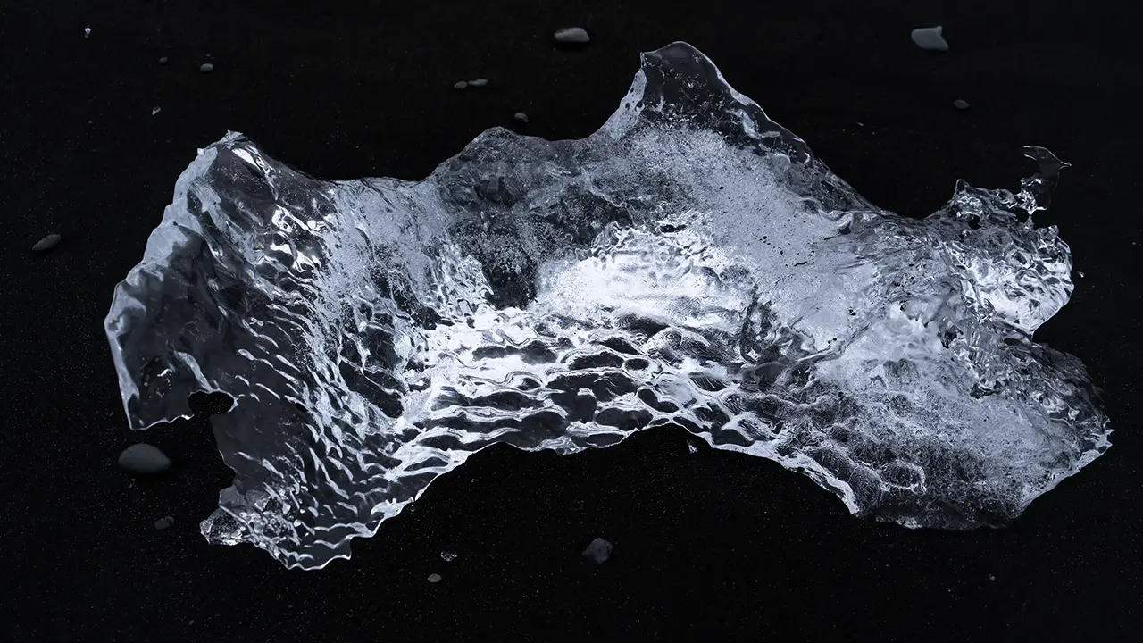
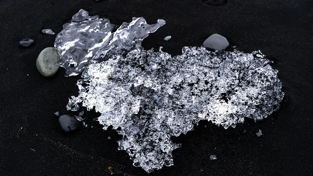
A short river, Jökulsá á Breiðamerkursandi, connects the lagoon to the sea just 500 meters or so away. Icebergs drift out through it, and waves wash pieces of ice back onto the shore. These become the “diamond ice” of Diamond Beach.
The connection works both ways. The tides also carry seawater into the lagoon, where it mixes with freshwater. Fish swim in from the sea, and seals follow them. A few seals have found their way into my photographs too.
The more I learned about this lagoon, the more I felt that its beauty was only part of the story. Ice, water, and wildlife all offered glimpses of nature at work.
Diamond Beach
Next came Diamond Beach, where ice washed ashore lies scattered across the black sand on either side of the river mouth. The western beach is just across the bridge from Jökulsárlón’s main parking lot. I had also been photographing the lagoon from its western shore; from there, the beach was across the Ring Road.
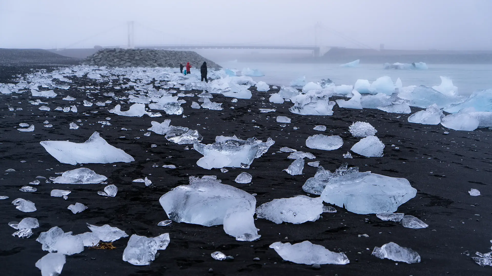
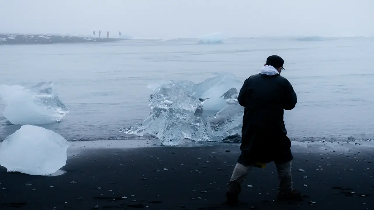
The photographs here are from August. I had taken plenty in April too, but there were only a few small pieces of ice scattered across the black sand, most about the size of a palm. August brought poor weather, but much more impressive ice.
My wife caught me photographing it. With me in the frame, the scale becomes clear—some of those pieces were quite substantial!
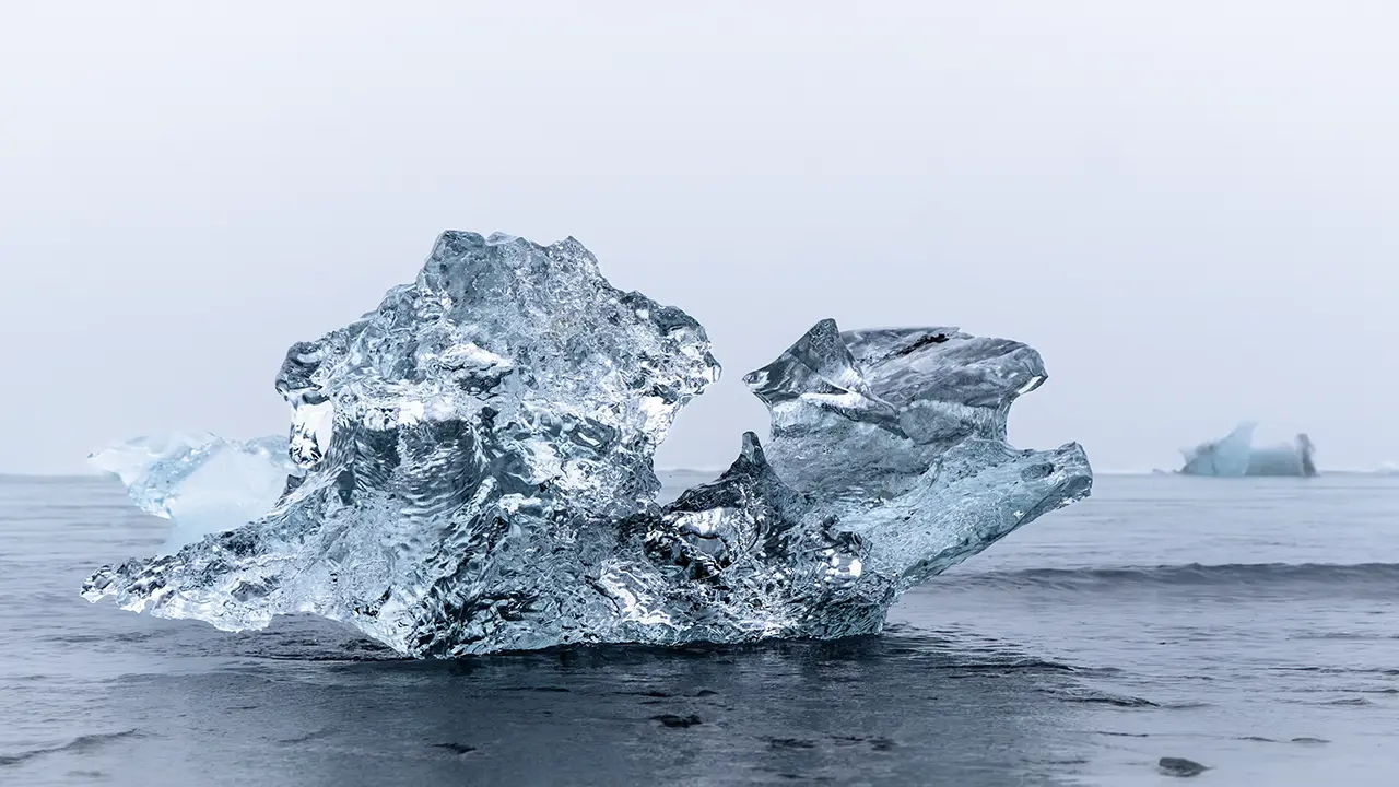
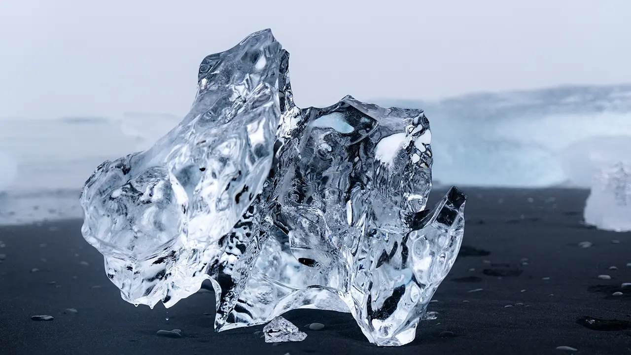
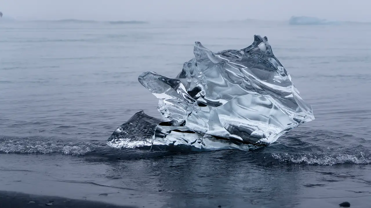
Here is my “Diamond Ice Collection.”
Diamond Ice Collection
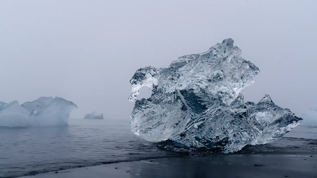
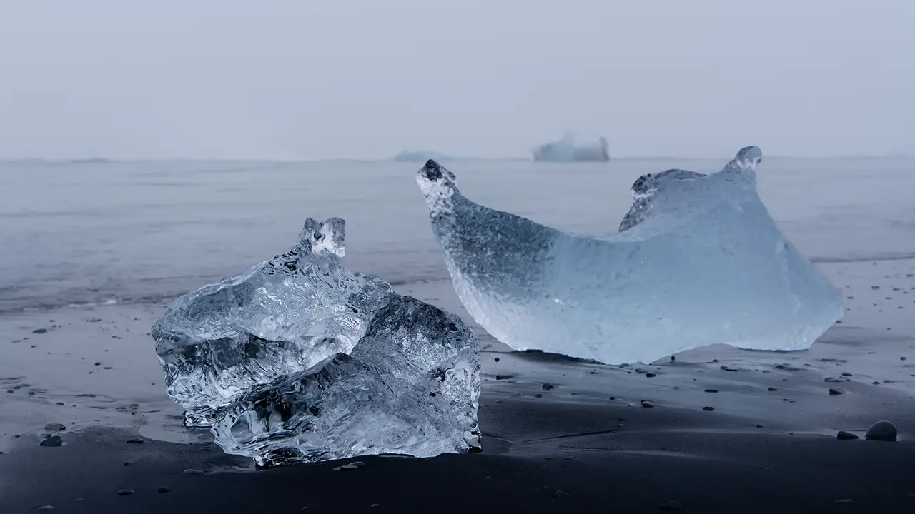
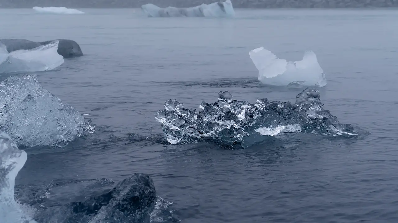
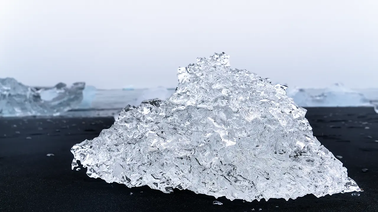
We left Jökulsárlón and spent the night at a guesthouse near Höfn. I think it was Sauðanes Guesthouse, but I have no record to check and hesitate to rely on memory alone. Still, I’m fairly sure…
My April visit ended around 8:30 p.m., after sunset. I then drove through the dark to my hotel near Kirkjubæjarklaustur. The journey was about 100 kilometers and took roughly an hour, but it didn’t feel that long. My mind was still full of everything I had seen that day.
Jökulsárlón was as far east as I went in April, so the next part of this travelogue follows the August journey alone.
A Drive Along the East Coast
Day three of the August minibus tour took us north from the guesthouse near Höfn into the Eastfjords. The sky was heavy and gray as we followed the coast. The sea slipped in and out of view on the right; on the left, horizontal bands ran across the mountainsides, with waterfalls dropping through clefts in the slopes. There was always something to look at during those two hours on the road. Sediment had built up in the sheltered ends of some fjords, leaving shallow water that the road crossed on what looked like causeways. It was a curious feeling, almost as though we were driving through the middle of the sea.
I took the next three photographs through the bus window. They aren’t my best, but I hope they give a sense of the journey.
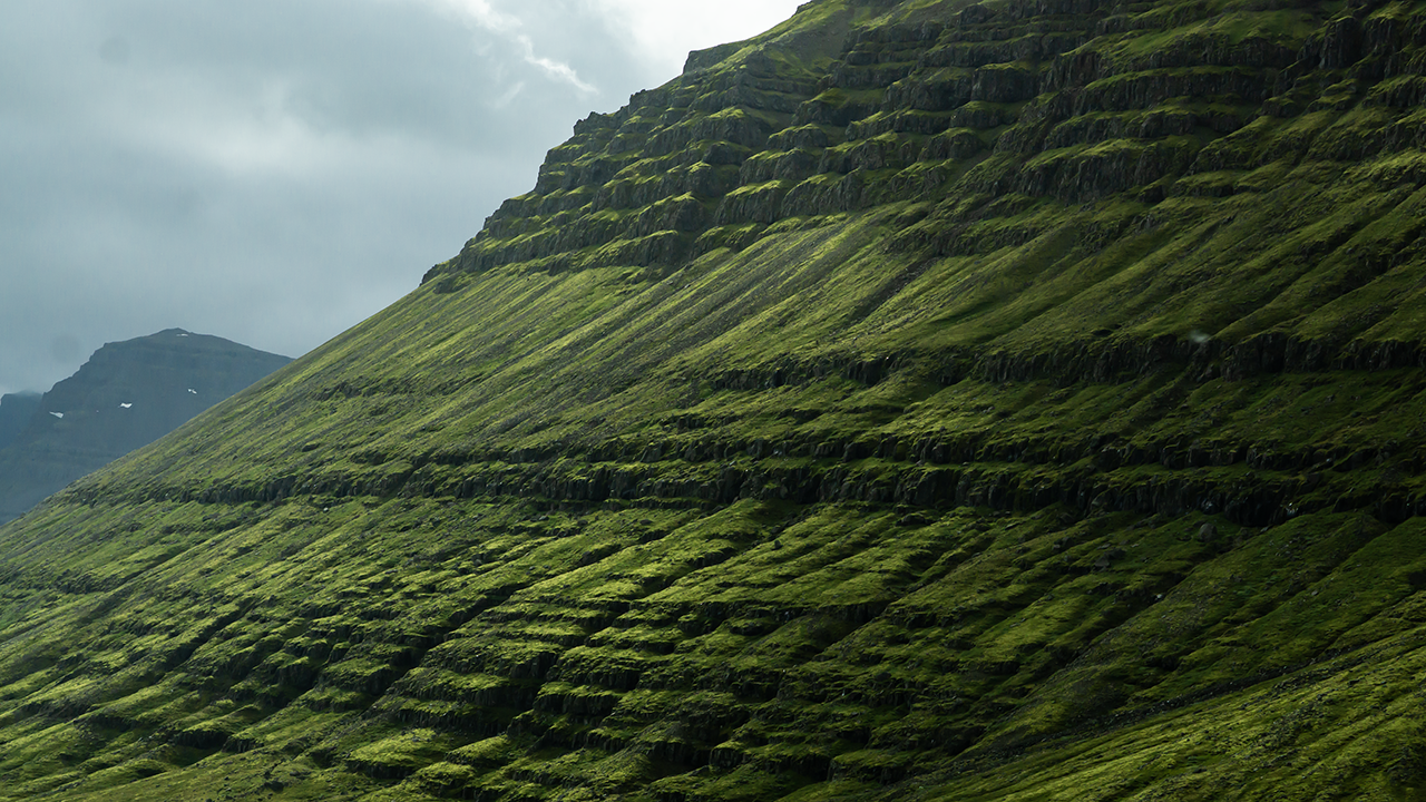
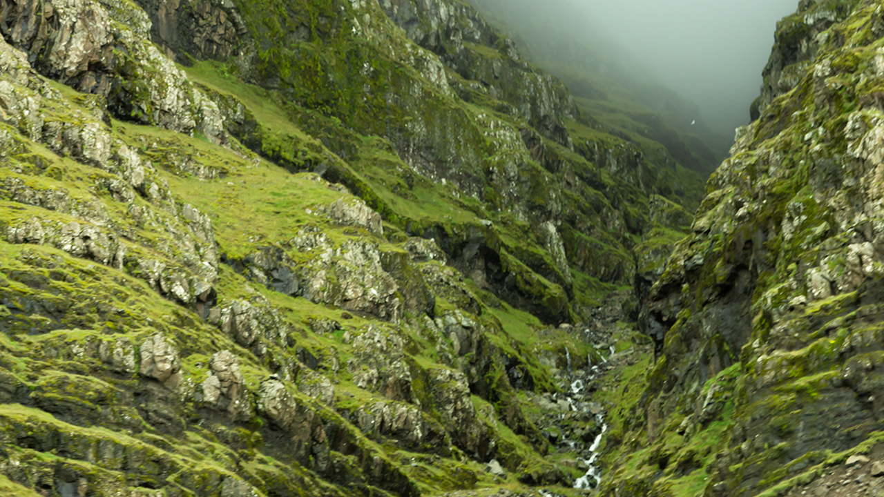
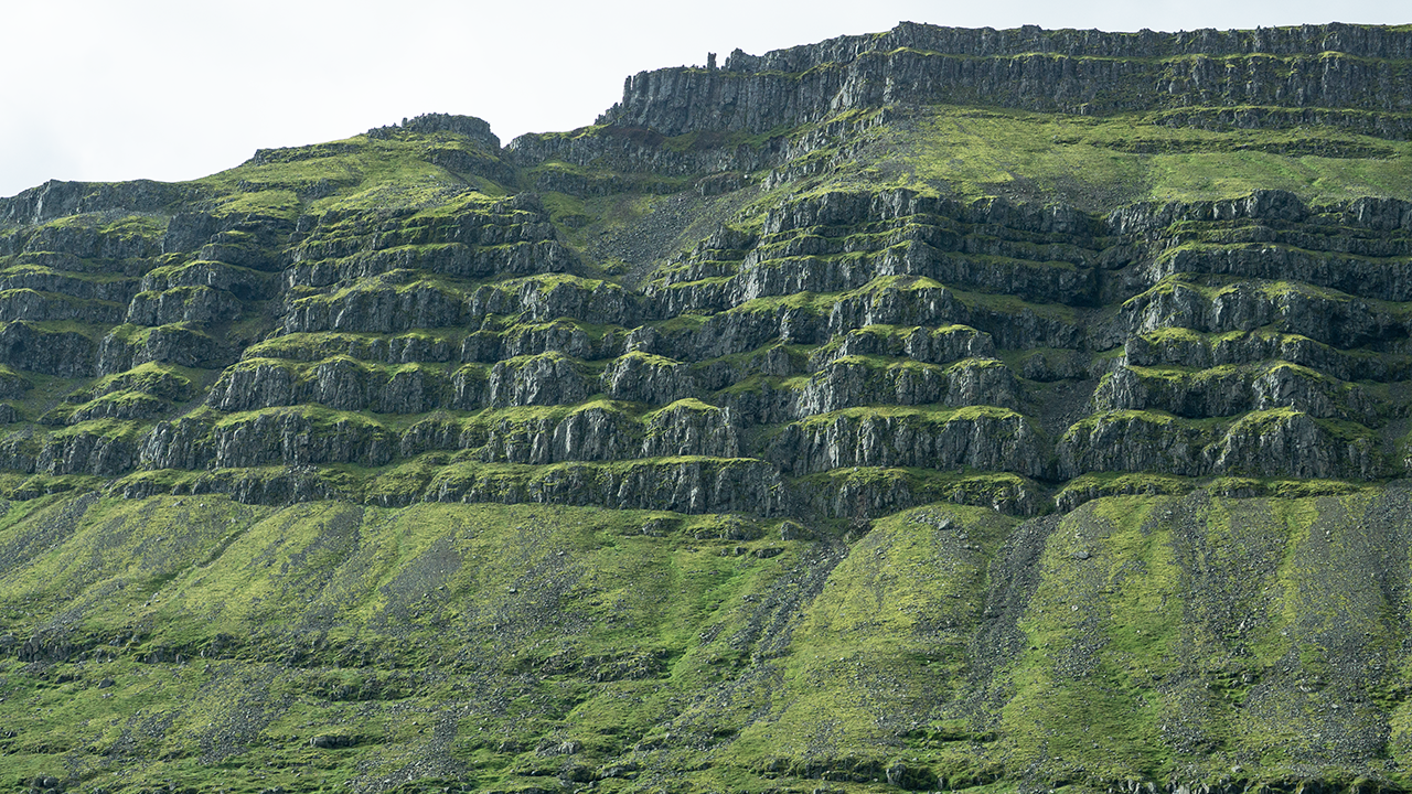
Iceland straddles a plate boundary, but the east lies away from its present active volcanic zones. Here, thick layers of ancient basalt make up the land. Rivers cut V-shaped valleys into it, and glaciers during successive glacial periods seem to have widened and deepened them into the U-shaped valleys we see today. The retreating ice then left some valleys open to the sea, forming fjords. What remains is old volcanic rock, worn and shaped over a vast span of time. Those bands on the valley walls became all the more fascinating when I thought of the history laid out before me.
The first stop was a farm near Breiðdalsvík, where we had about ten minutes with the Icelandic horses. I photographed them again later in the tour and had also taken pictures in April, so I’ll bring those photographs together in a later section.
A slight departure from the order of the day: we also saw reindeer, or hreindýr, on a farm nearby. At Mjóeyri, a small settlement some 70–80 kilometers farther north, we were shown a young Arctic fox. Apparently it had wandered into the settlement and made itself at home, even spending time with the pet dogs. It seemed quite used to people; some were picking it up.
I later learned that reindeer had been brought from Norway in the 18th century with the intention of raising them as livestock. Reindeer farming never took hold, however, and the wild population is now apparently confined to eastern Iceland. The two we saw were probably wild too. I had also spotted one that morning in what looked like a pasture.
These encounters gave me a glimpse of life in eastern Iceland, where people and animals seemed to share the landscape.
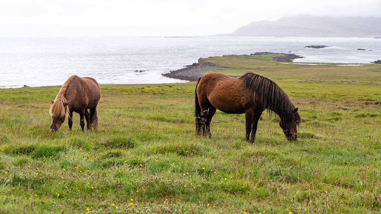
Icelandic horse
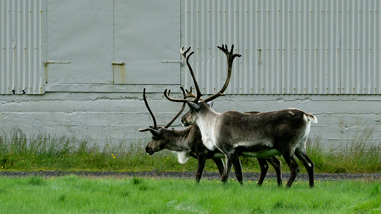
Reindeer
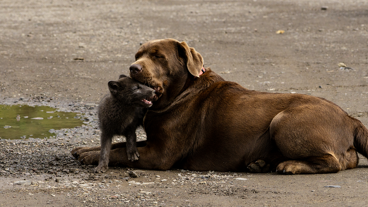
Arctic fox
Another stop along the fjord was Petra’s Stone Collection.
Petra's Stone Collection
Petra Sveinsdóttir spent a lifetime gathering stones and minerals, mainly from the mountains and shores of eastern Iceland. Her collection fills her former home and garden: jasper, agate, quartz, calcite, zeolites, and all sorts of other colorful finds from this volcanic landscape. I would never have stopped here on my own. But that is one of the pleasures of a tour—it takes me to places I would not have thought to visit.
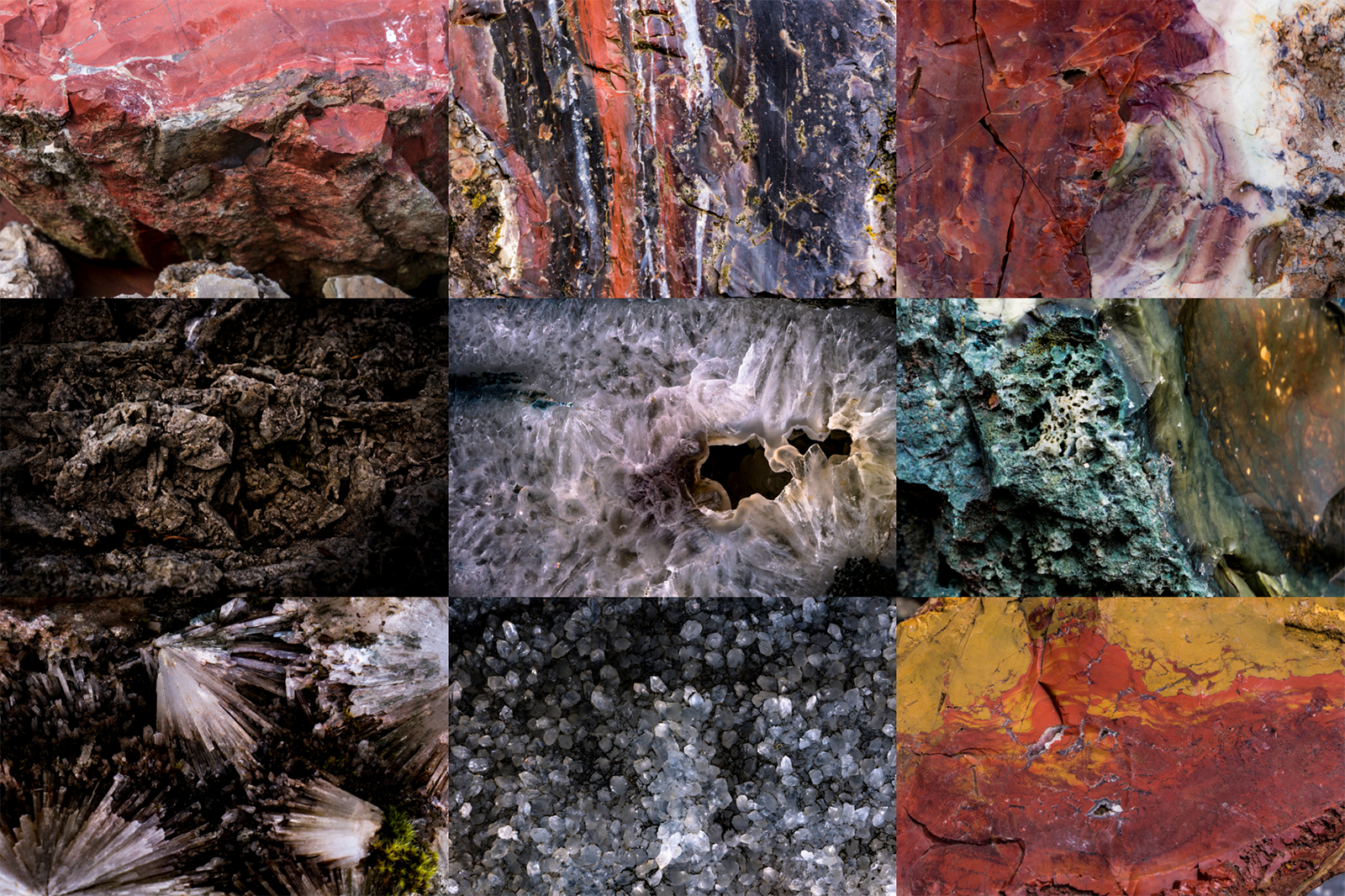
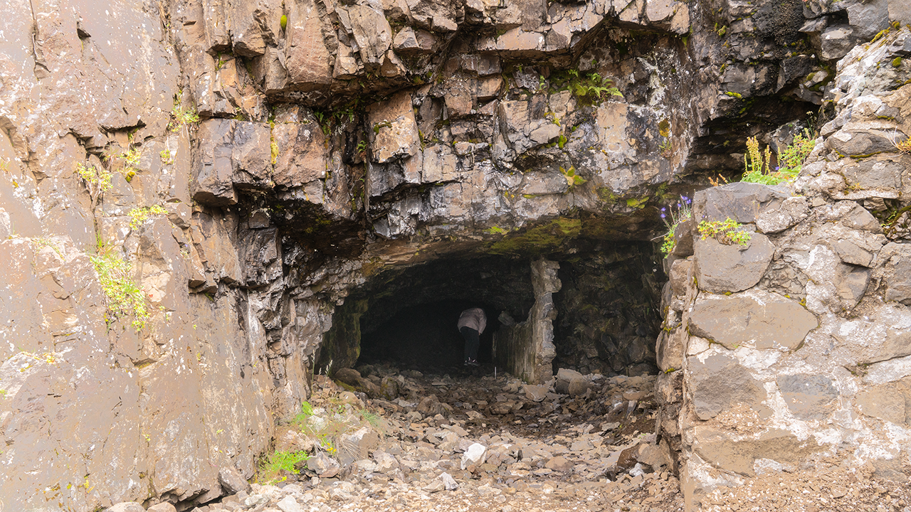
We also visited an old mine. “You might find bits of calcite. You can’t take them home, though,” the guide said. I was tempted to ask how anything could possibly be left in such a small place after all these years. Yet there they were: little fragments glittering in the rock. Taking even the tiniest piece was strictly forbidden. Fair enough.
This was Helgustaðanáma, a quarry once renowned for Iceland spar, an exceptionally clear form of calcite. I learned that its crystals had played an important part in the study of polarization and other properties of light, and had been used in optical instruments, including microscopes. Quite an important place, then. Yet there seemed to be nothing protecting it, and no other visitors around.
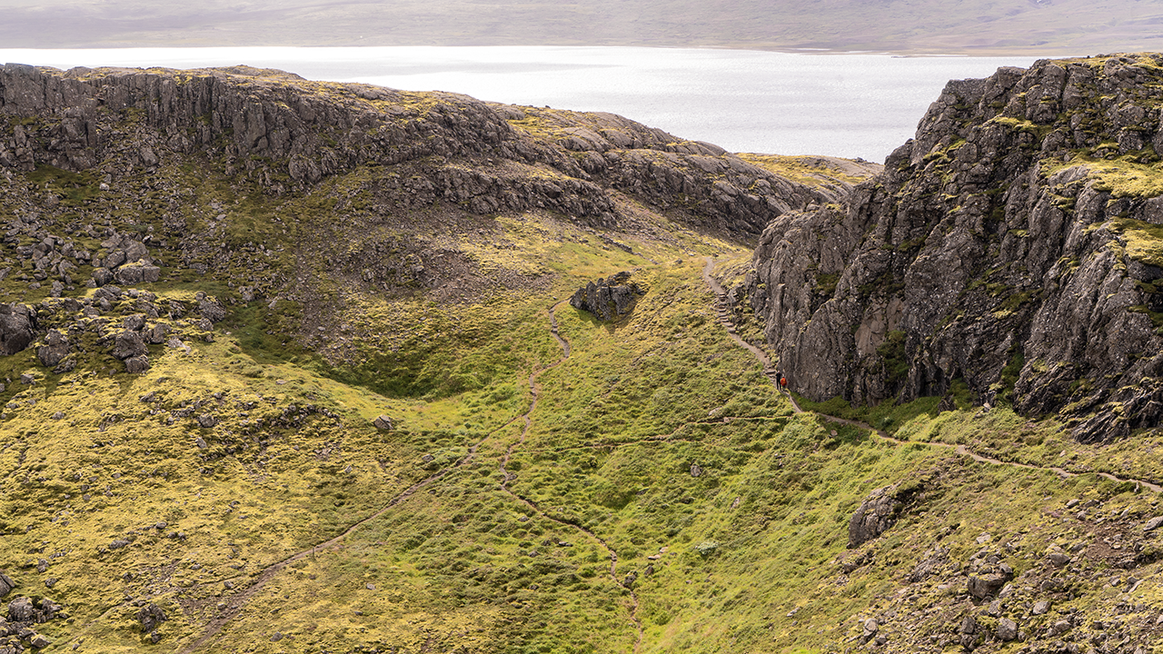
What stayed with me most was the view from outside the mine, across the fjord of Reyðarfjörður.
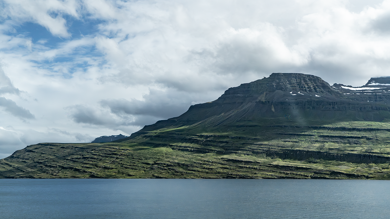
Hólmanes Nature Reserve
We had stopped a little earlier at Hólmanes, the headland between Reyðarfjörður and Eskifjörður. Both fjords spread out below, and it felt wonderful to be there. The weather was finally improving, with patches of blue appearing in the sky. The rounded rocky hill of Hólmaborgir stood out like a landmark. Apparently, it formed when magma worked its way between layers of lava and solidified there.
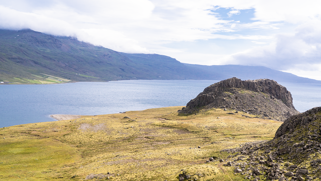
Hólmaborgir
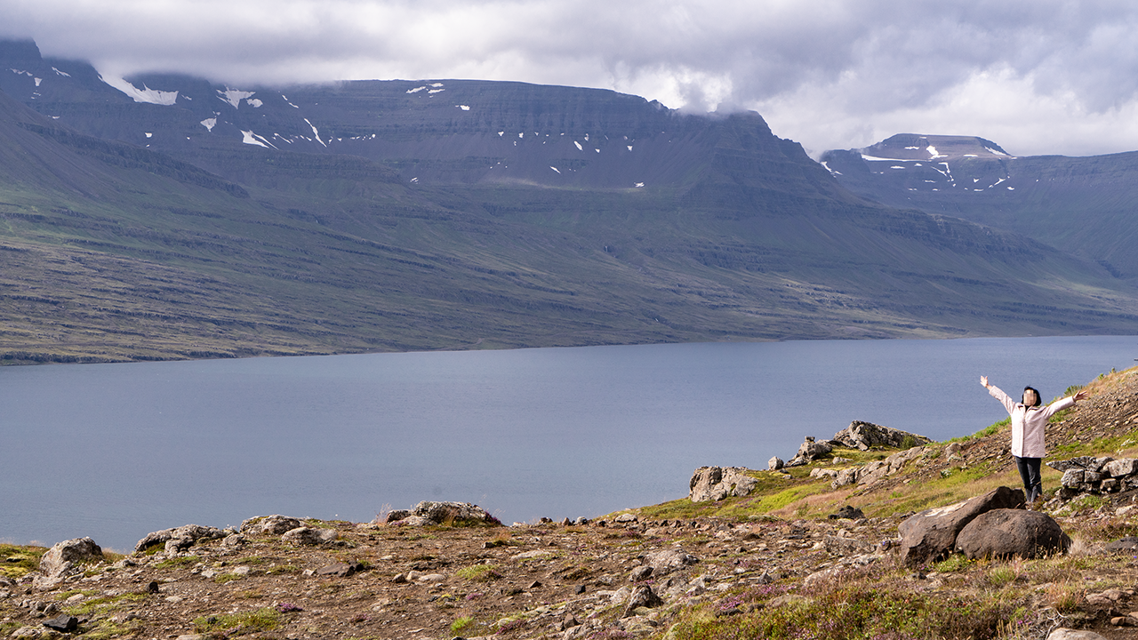
What a place to be!
The people give the scale.
Much bigger than it looks!
Much bigger than it looks!
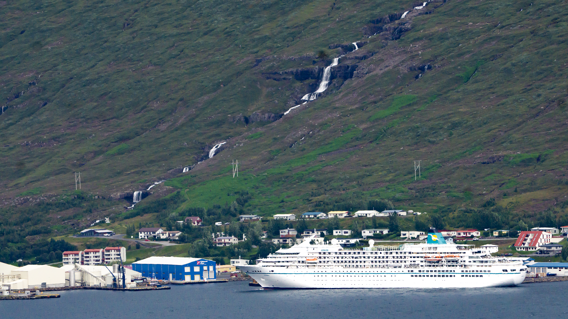
A cruise ship was docked across Eskifjörður, at the town of the same name. I later identified it as MS Amadea, operated by Phoenix Reisen. It spent about eight hours there that day, from 9 a.m. to 5 p.m., and the passengers seemed to be out exploring the area. When I looked up the excursions offered for calls in 2026, I found that some apparently included Petra’s Stone Collection and Hólmanes—places on our itinerary too.
We eventually left the coastal fjords and turned inland. I took this photograph through the minibus window at the head of Reyðarfjörður. The weather had cleared, and the change from the morning’s gray skies made it feel as though we were looking at a different place.
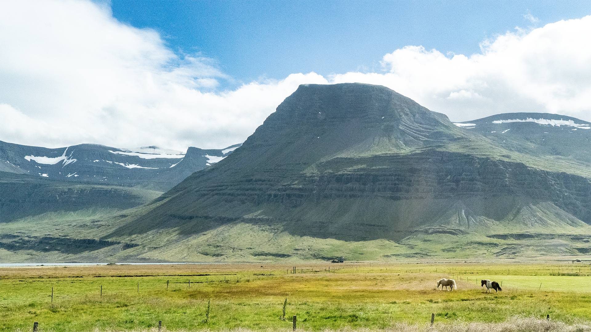
The head of the fjord on the left, with peaceful pastures around it.
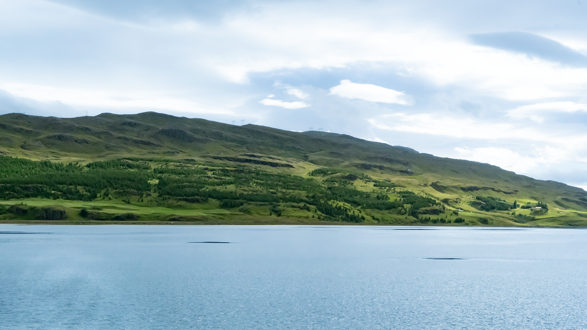
Water came into view again as we traveled inland. This was Lagarfljót, a long, narrow freshwater lake filling a valley carved by a glacier. It is the broad stretch of a watercourse running some 140 kilometers from the glaciers in the south to the sea in the north. A river, perhaps, or a fjord… it didn’t really look like a lake to me. A river felt closer to the mark.
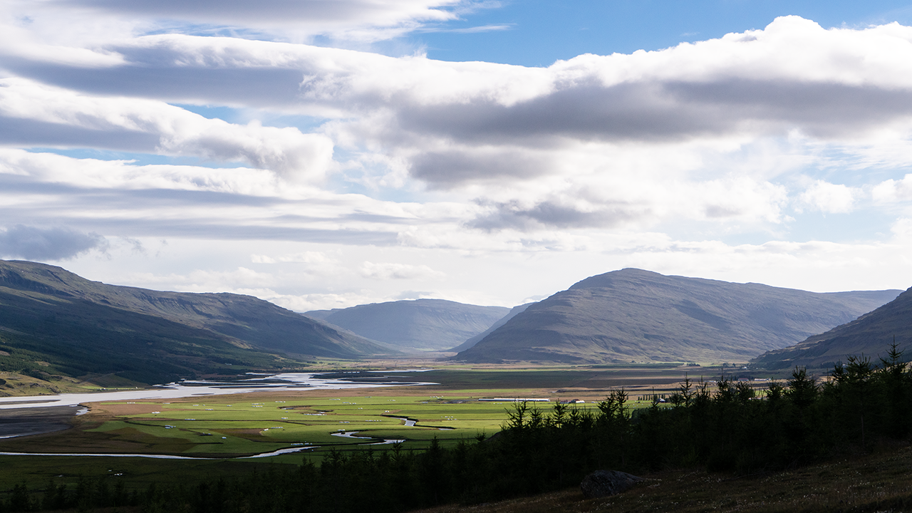
Fljótsdalur continues inland beyond the southern end of Lagarfljót. Hengifoss, the waterfall we were heading for, lies on one of the tributaries flowing into that valley. We followed the eastern shore of Lagarfljót south for about 30 kilometers, then crossed a bridge to reach the western side.
Hengifoss
We left the parking lot and followed a gently rising trail beside the river towards Hengifoss. The river is called Hengifossá: Hengifoss is the name of the waterfall, and á means river. So, a waterfall called Hengifoss, and a river called Hengifoss River. Well, that was easy. Hengi apparently shares its roots with the English word “hang.” Looking back at my photographs, I could see the sense in “hanging waterfall.” It really does look as though it has been hung from the cliff.
Litlanesfoss soon came into view, with Hengifoss farther behind it. The waterfall drops about 30 meters, but the basalt columns surrounding it were what really caught my eye. I would be hard pressed to choose between these and the ones at Svartifoss. Both formed as lava cooled, and here the Hengifossá has sliced through the rock, exposing the columns along the walls of a deep gorge. Heaps of fallen rock and earth lie below them.
Hengifoss gradually came into full view, falling from a dark cliff at the back of a great horseshoe-shaped hollow. Our guide told us it was 128 meters high and Iceland’s third-highest waterfall. I had seen neither of the top two, so this was the highest I had seen for myself. Skógafoss, at only about 60 meters, nevertheless felt far bigger because of the sheer volume of water. We could not get as far as the plunge pool at Hengifoss that day, but the closer we came, the more striking the red bands became: about four lines running across the dark cliff, apparently layers of clay. A broad slope of fallen rock and earth spread out below. Boulders lay scattered in the river in front, presumably left behind as the finer material was washed away. The whole scene had a rugged grandeur that stayed with me.
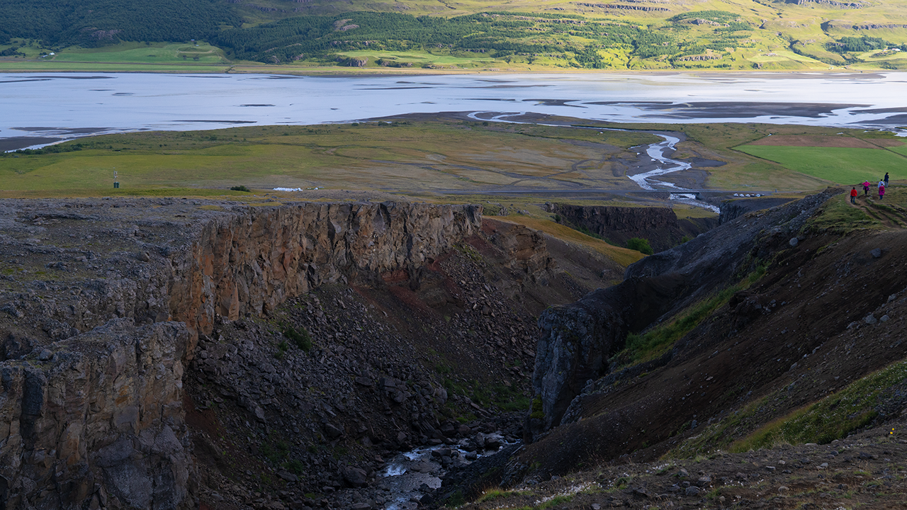
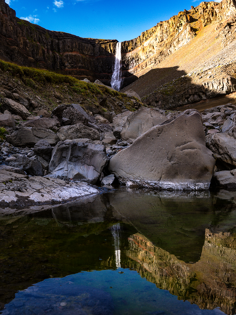
I took this reflection photograph using a puddle. The guide saw it, went straight to the same spot, copied the shot, and posted it on Facebook. He was using an iPhone, so it was all done in no time—and his photograph came out well. Well, perhaps I had done my bit for the tour company’s publicity.
The walk back revealed things I had scarcely noticed on the way up. Another waterfall caught my eye, one that probably did not even have a name. It fell from a high cliff much like Hengifoss, with a smaller cascade just beside the trail farther down. The stream carried so little water that I found it hard to imagine erosion cutting the falls much farther back into the cliff. Given enough geological time, though, who knows?
The view downstream along the Hengifossá was fascinating too. Its V-shaped valley seemed to end near the parking lot, giving way to flat ground stretching towards Lagarfljót. Presumably this was where the sediment carried down by the river began to spread out and settle. I was struck by how abruptly the narrow valley opened onto the plain. Fljótsdalur stretched far away to the south, its valley floor threaded with water flowing towards Lagarfljót and bordered by green farmland. Quite a view.
We left Hengifoss and headed north through Egilsstaðir to another hostel out in the countryside. I think it may have been what is now Hotel Stuðlagil, but I have no record to be sure. We were heading to Dettifoss first the next morning, so the overnight stop was probably chosen to suit the journey north.
Dettifoss
The roar. The spray. The sheer force!
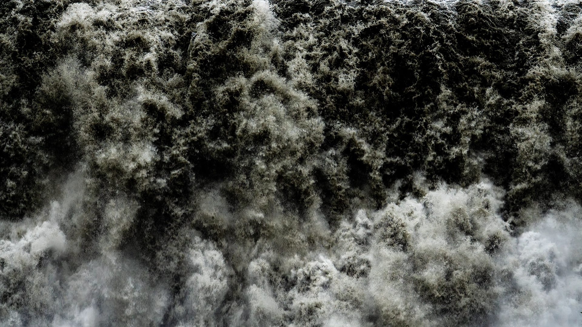
We had been walking for about ten minutes from the parking lot when the source of that tremendous roar came into view. Dettifoss. Roughly 45 meters high and 100 meters wide, with spray billowing into the air—it was overwhelming. I wanted a telephoto shot badly enough to change lenses in all that spray, despite the guide’s advice to leave well alone. The plastic bag came to the rescue again! The tiny red speck at the upper left of the photograph above is a person. That gives some idea of the scale. This is a color photograph, but the stark contrast of black and white seemed to capture the force of the falls. I then changed lenses once more for the second photograph, using a wide angle to take in their full breadth.
We doubled back a little, then walked north for about ten minutes to a higher viewpoint. The third photograph shows the whole waterfall from there, including the spot where we had just been standing so close to the water.
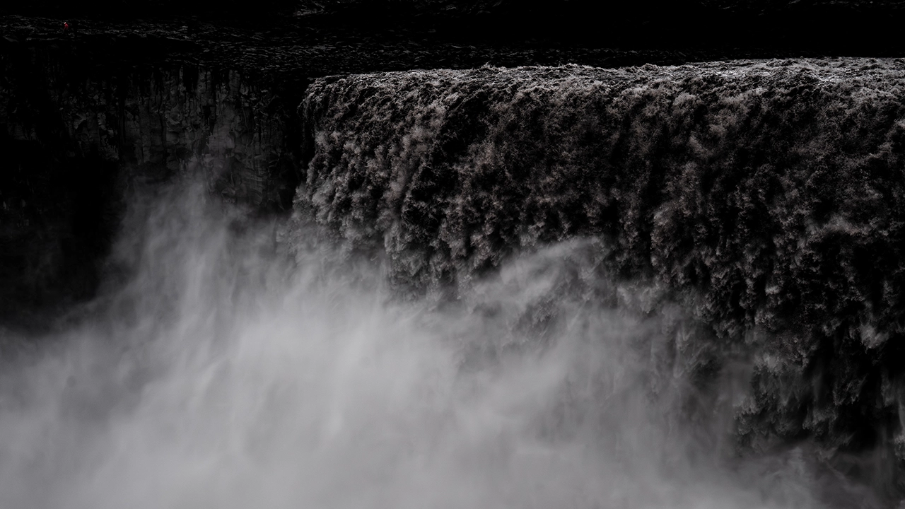
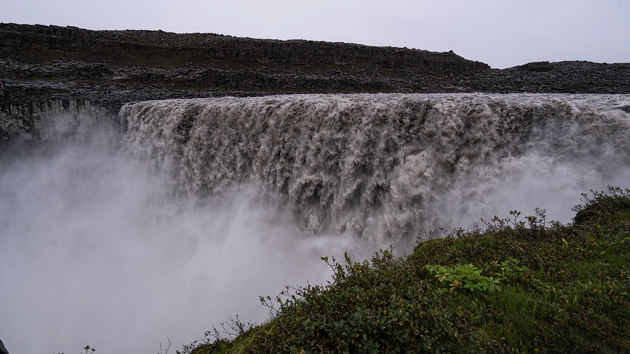
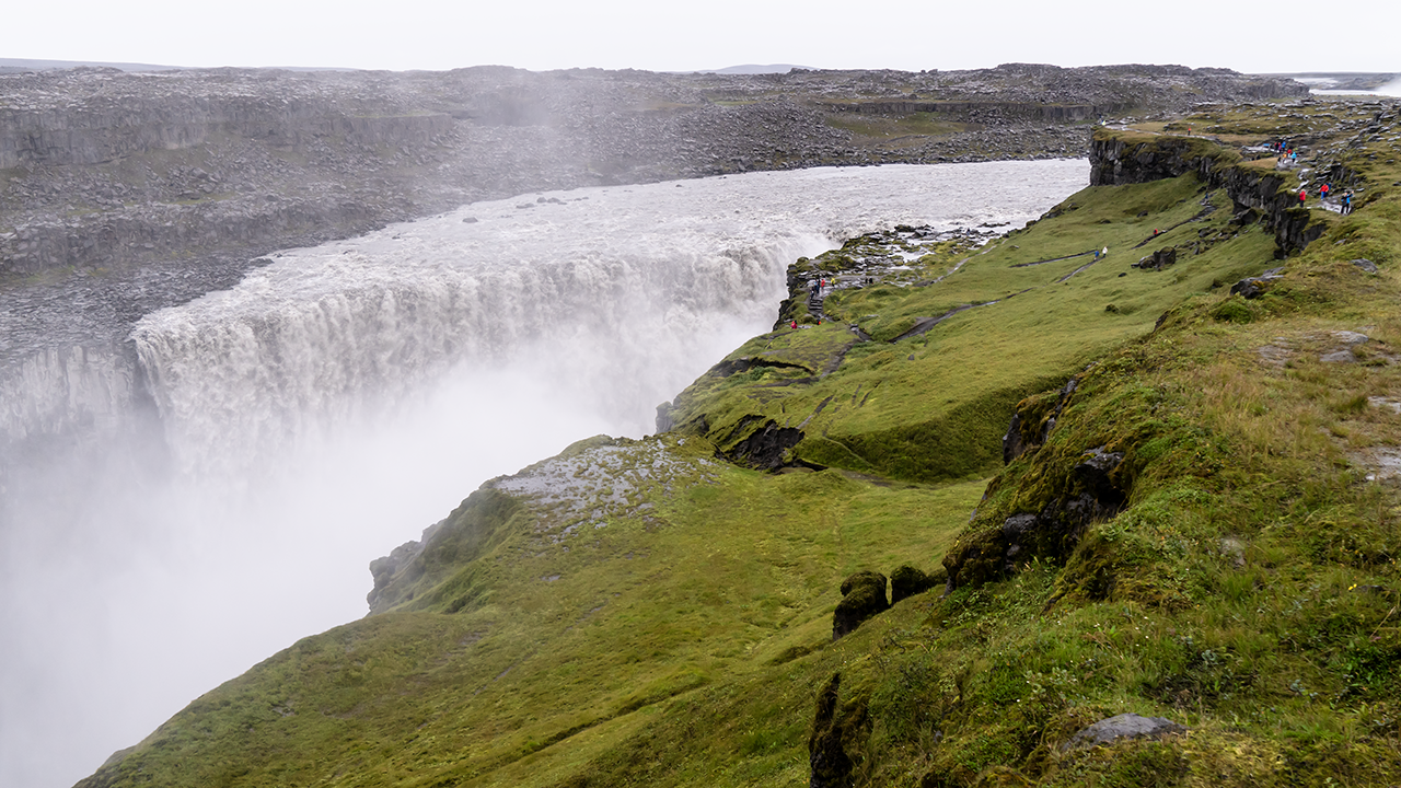
We then headed south along a rocky trail to Selfoss. It was only about ten minutes each way, and fairly level, but the rocks were slippery. I remember having to pick my way along with care.
Selfoss lies just upstream of Dettifoss. The drop is only about ten meters, but the falls spread out widely, the water dividing into a series of graceful cascades. Two waterfalls so close together, yet so different in character.
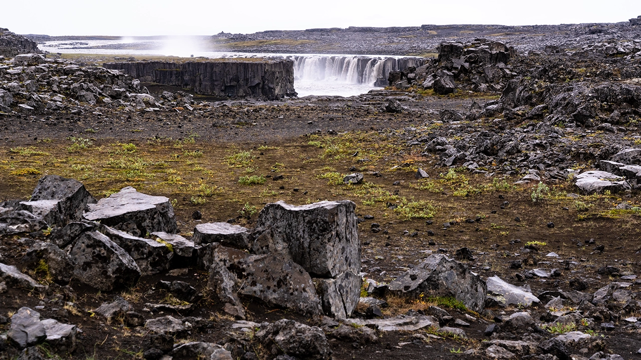
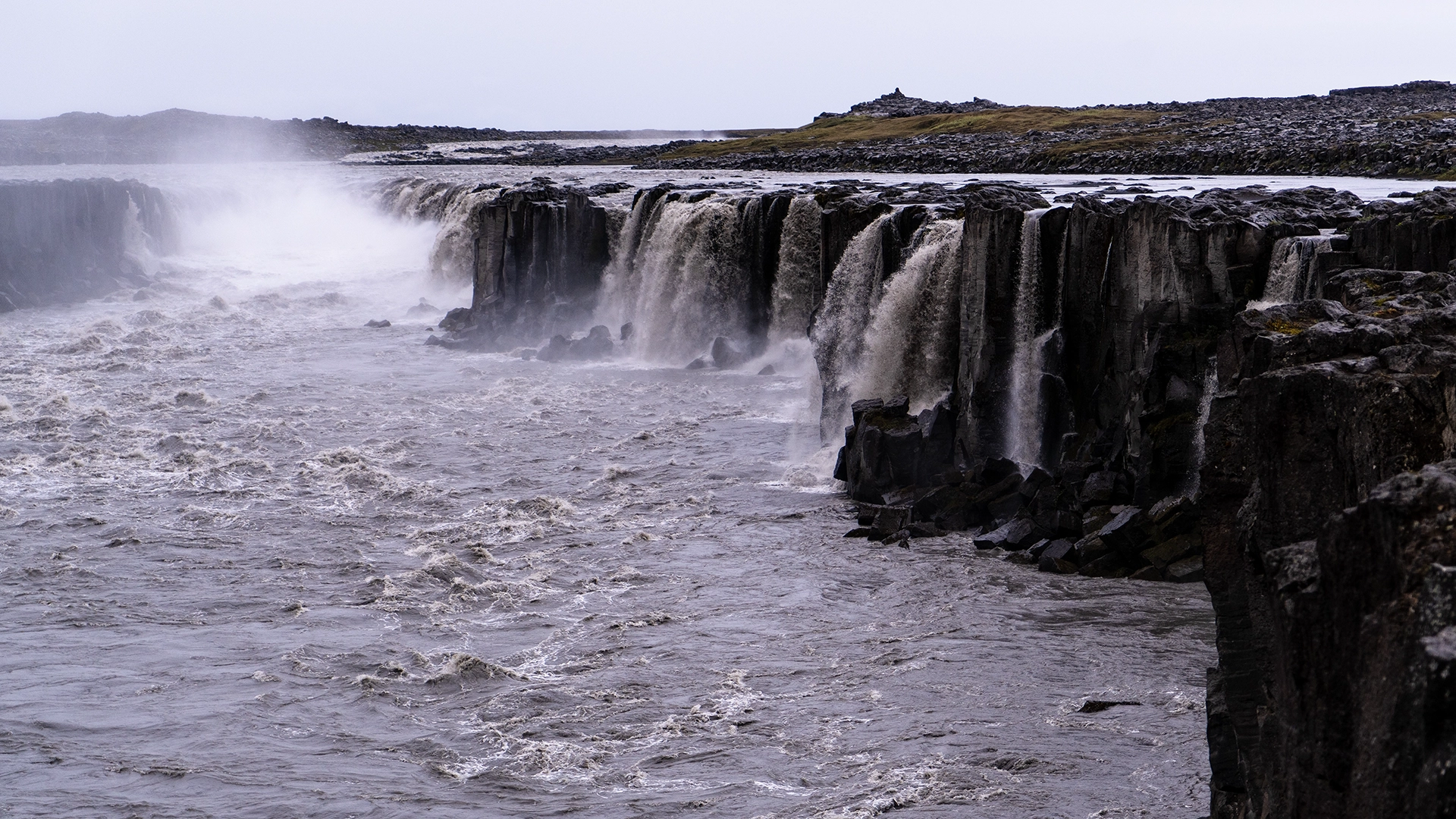
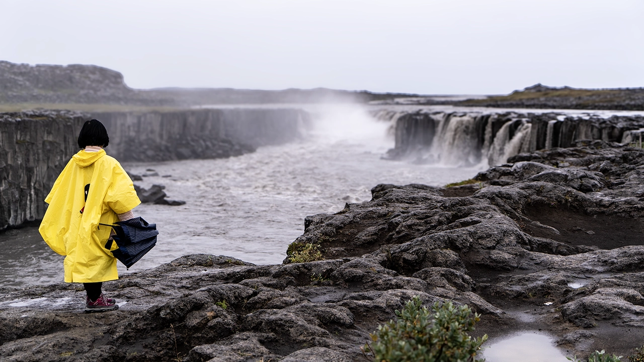
The river feeding these falls is the Jökulsá á Fjöllum, which flows from the vast Vatnajökull ice cap. Its murky gray-brown color comes from the fine rock flour ground up by the glacier and the sediment carried along with it. I read that erosion by this sediment-laden water makes Dettifoss retreat by around 50 centimeters a year. I was surprised that solid rock could be worn back so quickly. It cannot be a simple matter of multiplying the rate by the years, but I found myself wondering whether Dettifoss and Selfoss might become one waterfall in two or three thousand years. Now that would be something to see. Here too, the river has cut through basalt, leaving the vertical seams between columns clearly visible in the cliff walls.
I discovered another connection while reading up for this travelogue: Dettifoss was the waterfall in the opening scene of Prometheus. Wait—that opening? I watched it again, and there it was, unmistakably Dettifoss. The waterfall itself looked much as it does in real life. No need to invent one with visual effects. As I remembered the story, an alien “Engineer” releases his DNA into the water, setting in motion the beginnings of life on Earth and, eventually, humanity… But hang on. Life began billions of years ago. Dettifoss would not even have looked like this ten thousand years ago, would it? Of course, the film never says this is Dettifoss. The landscape is standing in for the primordial Earth, and picking holes in that rather misses the point. I went back to my photographs after this little flight of fancy. A waterfall at the dawn of life? It certainly had the presence for the part.
The Northern Volcanic Zone
I began looking into Iceland’s geology while writing this travelogue. Why did the country have such extraordinary landscapes? Three major factors kept emerging:
Source: Þingvellir National Park official website
Source: Wikipedia
- Its position on the boundary between the North American and Eurasian plates
- Its location over a hotspot thought to be fed by a mantle plume
- Its cold climate near the Arctic Circle
The maps show how the plate boundary and the volcanic zones run broadly from south to north through the island.
The previous day had taken us through the east, away from the active volcanic zones. Today we were traveling through the Northern Volcanic Zone itself. Dettifoss had already brought these connections into focus: water from distant Vatnajökull cutting through volcanic rock and carrying vast quantities of sediment. The glaciers in the south and the landscape here in the north were part of the same story of ice, water, and volcanic activity.
I explore these three factors and how they have shaped Iceland in more detail on the separate page “Three Forces That Shape Iceland.”
We drove south from Dettifoss on Route 862, with black, barren ground stretching away near the junction with the Ring Road. Farther along, patches of grassland began to break up the view. The dark expanse seems to have been near the northern edge of the vast lava fields extending to the south. The yellow patches looked almost like flower meadows, though I could not tell whether I was seeing flowers or low vegetation turning yellow. There was plenty to watch through the window as we headed west.
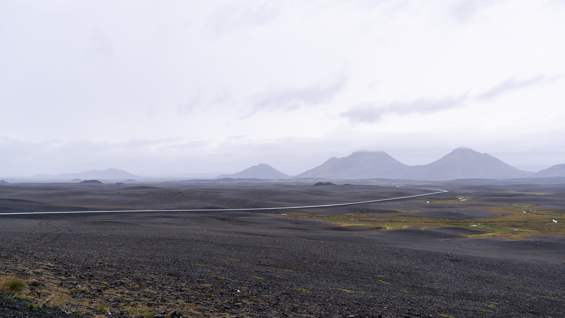
Black, barren ground on the way to Dettifoss.
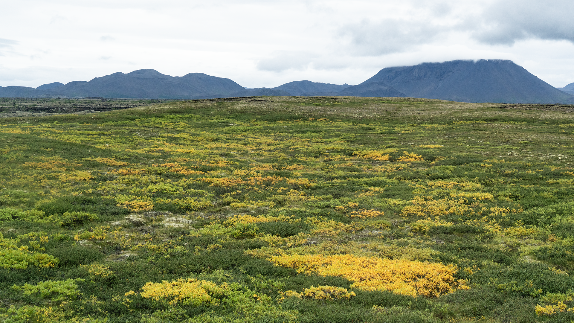
Almost a meadow of flowers.
We had been back on the Ring Road for less than half an hour when reddish-brown hills appeared ahead on the left, with white steam rising from the ground. There was no mistaking this for anything but a geothermal area.
Námafjall–Hverir Geothermal Area
We turned left off the Ring Road and were almost immediately in the parking lot. A nearby viewing deck overlooked Mount Námafjall and Hverir, the geothermal area spread out at its foot. It reminded me of a smaller Owakudani in Hakone. Owakudani also owes its origins to volcanic activity, about 3,000 years ago, but the steaming vents and bubbling mud here seemed rather subdued by comparison. I could not say whether that was a matter of scale or the level of geothermal activity. The family resemblance was unmistakable, though.
Gray mud bubbled away in a pool just in front of the deck. Groundwater heated deep below, steam, and volcanic gases were finding their way to the surface. There was an information board on the deck explaining what was happening. The bubbling brought back memories of Beppu’s hot-spring “hells” and the Mud Volcano area in Yellowstone, although this seemed a gentler version.
I followed a roped-off trail a little way south, over occasional stretches of paving. The view did not seem likely to change much unless I climbed the mountain, so I soon turned back.
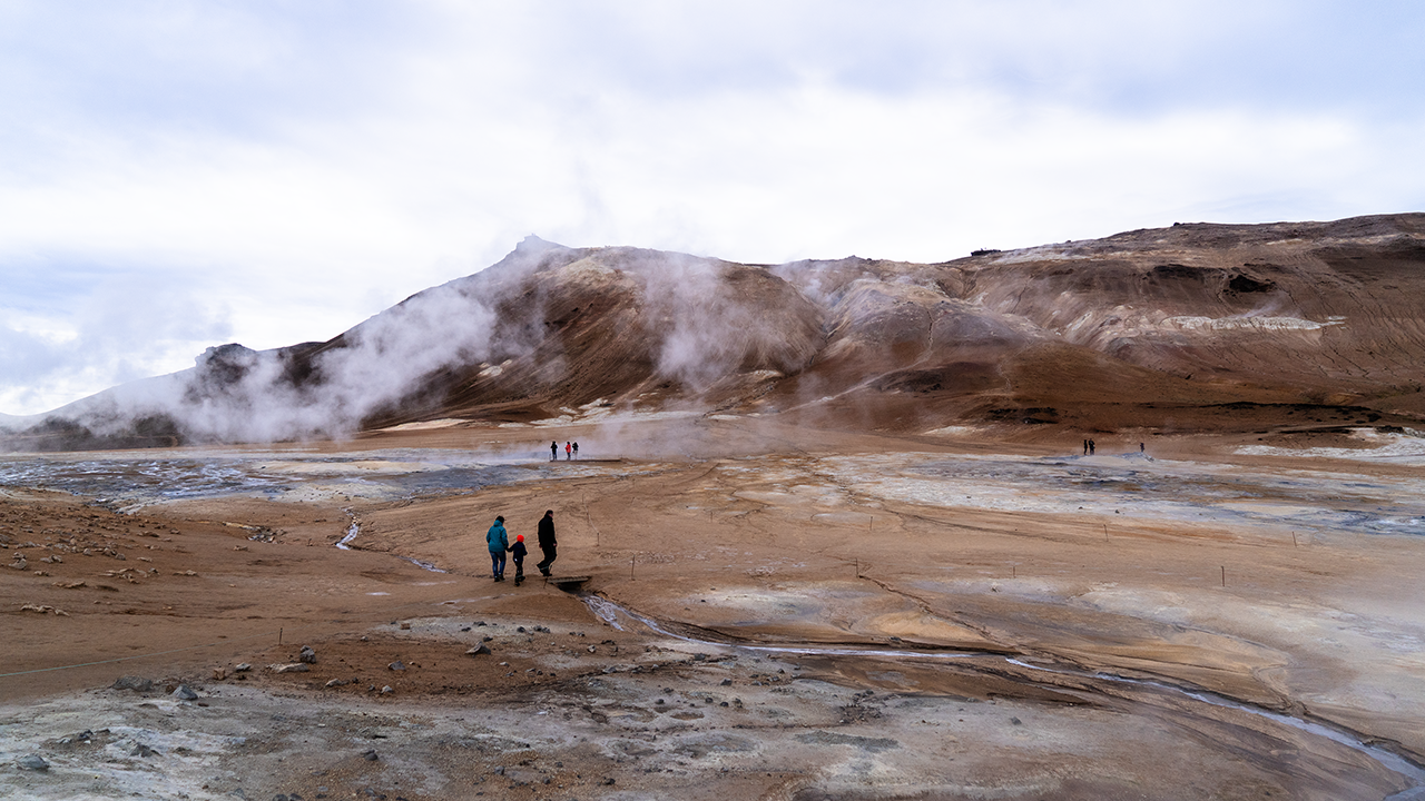
Hverir at a glance
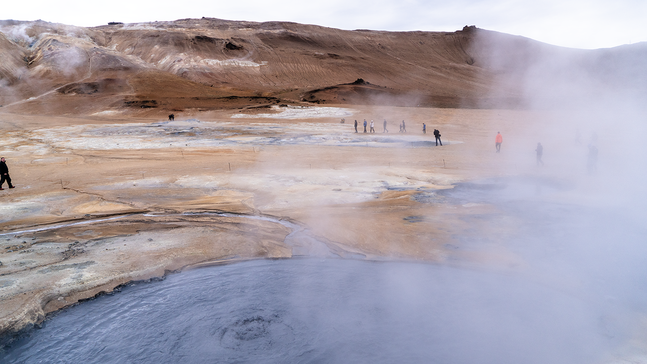
Bubble, bubble…
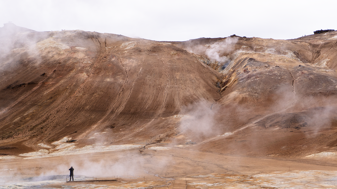
More of the same…
That filled about fifteen minutes. We were quite used to this sort of scenery in Japan, but I wondered how it might strike someone from a country with few volcanoes. Perhaps it really would look like a glimpse of hell.
Víti Crater Lake at Krafla (Stóra-Víti)
The next stop was Víti crater lake at Krafla. I had assumed that Víti meant “crater.” It turns out to mean “hell.” Beppu has its “hells,” and Japan has places called Jigokudani—Hell Valley—too. Perhaps a landscape of steaming, seething earth prompts much the same response in either country.
A violent explosion in 1724 left this crater, about 300 meters across. The mud inside is said to have kept boiling for more than a century afterwards. Put that way, “hell” seems a reasonable name.
The water now is turquoise, or perhaps blue-green—hardly the color I would associate with hell. My guess is that dissolved minerals and fine particles, perhaps silica, have something to do with it. I have not properly looked into that, though, so it remains a guess.
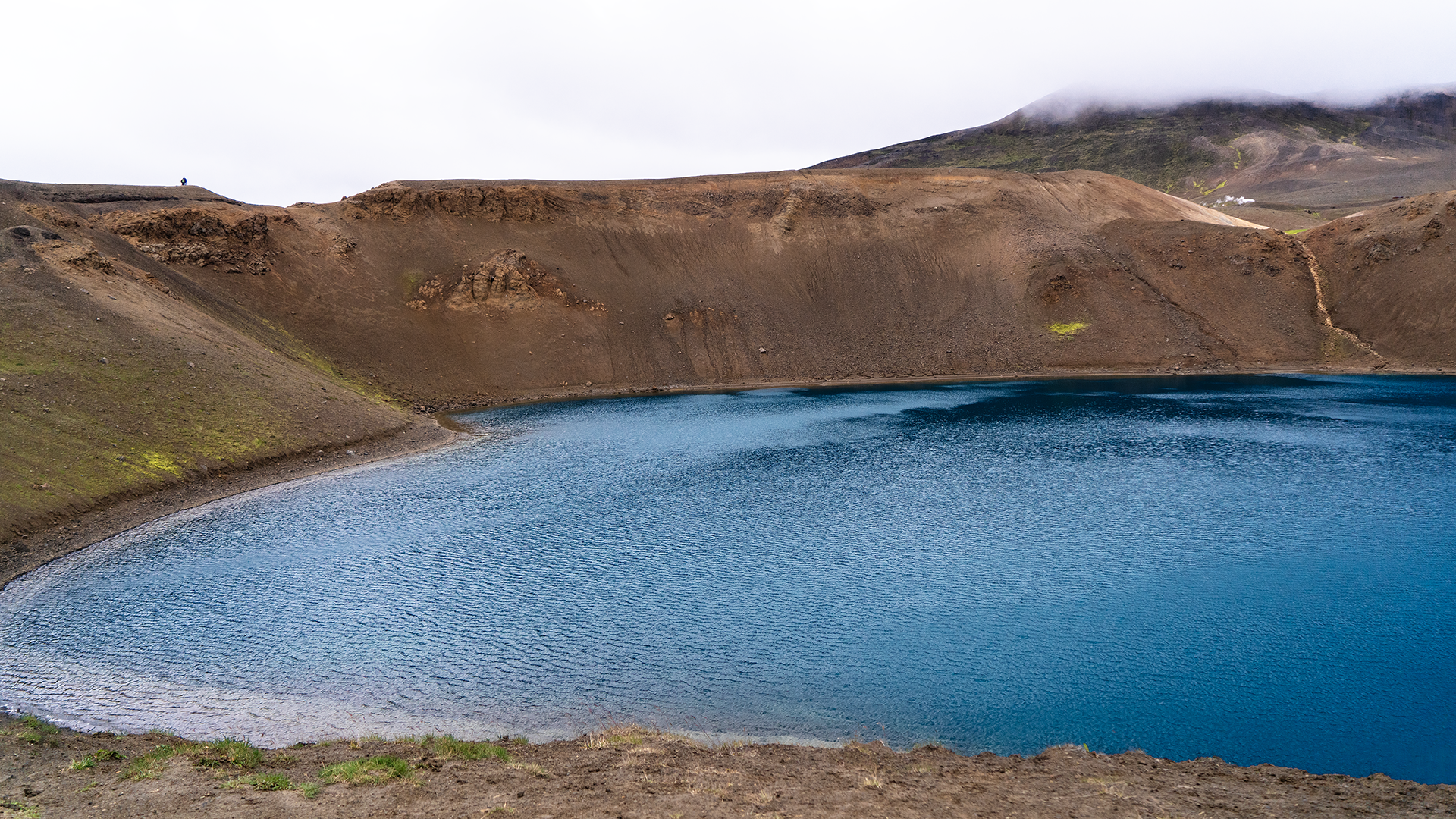
Rather like Okama crater lake on Mount Zao in Japan.
We descended from the parking lot at Krafla’s Víti, about 520 meters above sea level, rejoined the Ring Road, and stopped for lunch when we reached Lake Mývatn.
Lake Mývatn
Mývatn had quite a different air from the places we had just visited. Yet lava had made this lake too. About 3,800 years ago, a large flow from a shield volcano some 25 kilometers to the southeast blocked a river crossing the basin. The lava continued northwest, apparently almost as far as the northern coast. Another eruption, about 2,300 years ago, sent lava out along a roughly 12-kilometer fissure south of Hverfjall. It filled parts of the older lake, leaving the intricate outline seen today. Even this peaceful stretch of water was a volcanic creation. And a few thousand years is within the span of human history—almost the present day on a geological timescale.
The lake is remarkably shallow, with an average depth of only about 2.5 meters. It has no large river flowing into it; springs provide most of its water.
The name Mývatn means “lake of midges.” These little flies resemble mosquitoes but do not bite, though they can gather in great swirling clouds. Fortunately, we escaped their attentions.
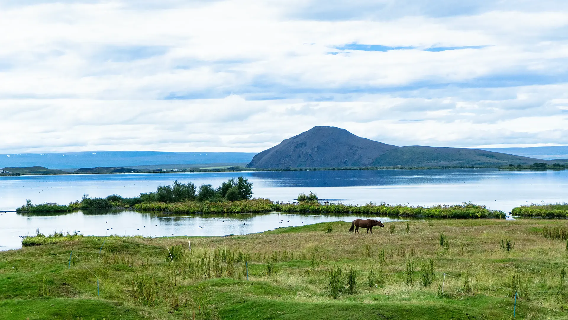
Volcanic origins or not, the scene could hardly have been more peaceful.
We left the Ring Road after lunch and followed Route 848 south for about three kilometers to visit Hverfjall.
Hverfjall (Hverfell)
A black hill rose ahead as we approached. Even from a distance, its hollowed-out shape hinted at what lay inside.
The path climbed diagonally from the parking lot, gaining about 150 meters over a distance of roughly 600 meters. “Ten minutes should do it,” the guide assured me. It took this less-than-fit traveler nearly twenty. I was almost at the top when he called, “Take your time coming down,” and headed off with the rest of the group. Heartless lot! (^-^;)
I caught my breath and looked into the crater. It was an enormous bowl, or perhaps a speaker cone pointing straight upwards. Quite a sight. Lake Mývatn spread out to the west. Several plumes of steam rose to the north, where I could also make out what looked like a geothermal power station.
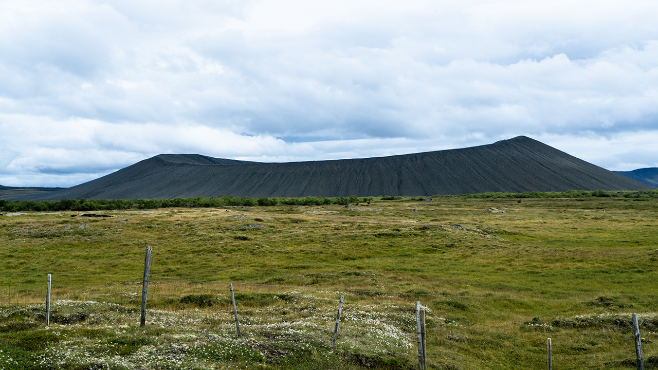
A black hill from the road
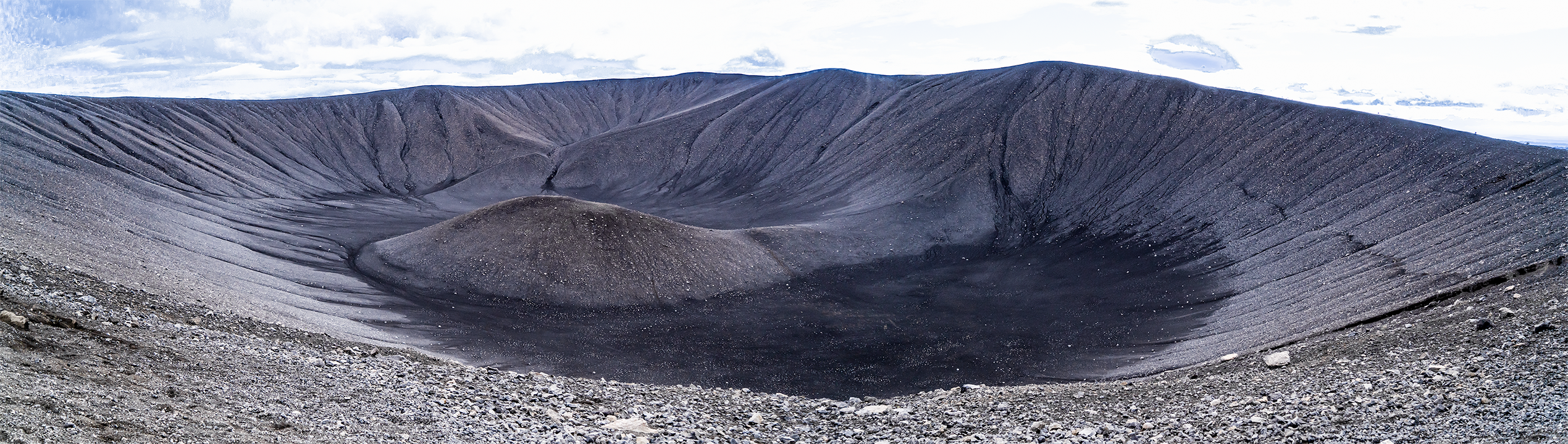
A crater!
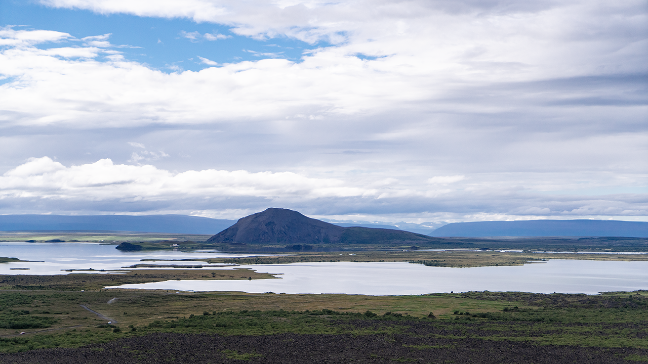
Lake Mývatn from the rim
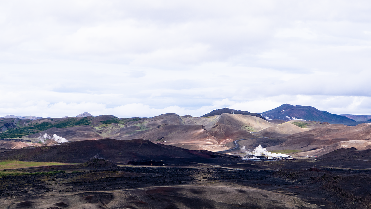
Steam and a power station to the north
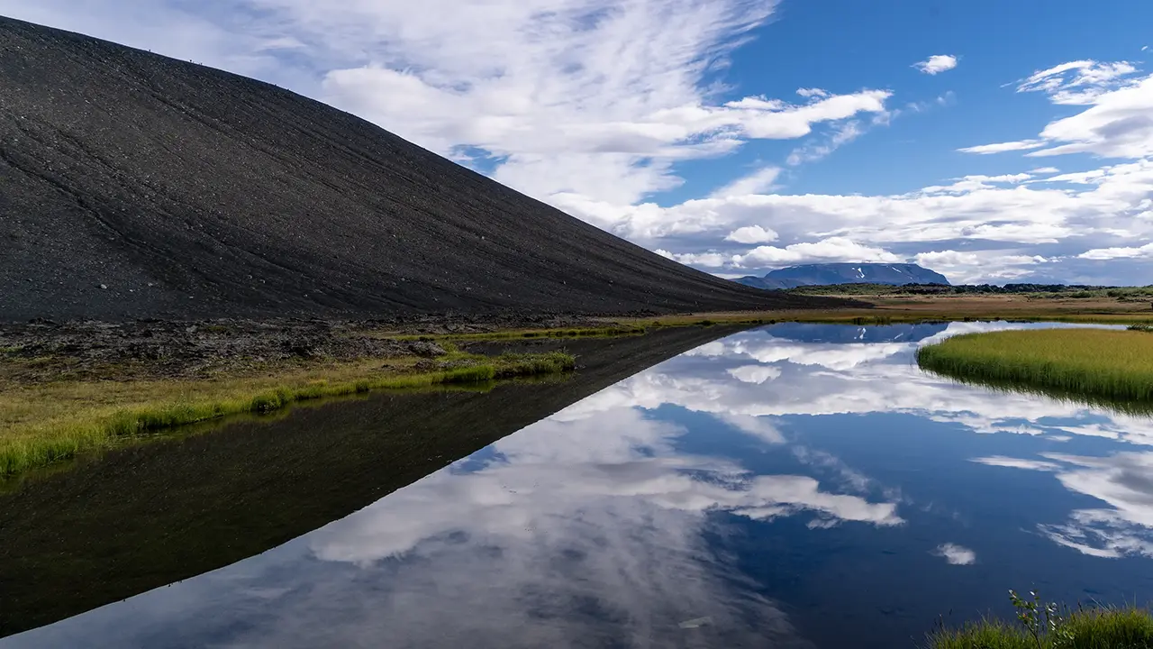
Reflections below the crater
Back at the foot of the crater, I noticed a pond tucked against the slope, its surface a perfect mirror. I asked for the bus to stop and got out for a few photographs. One of the women got out too and tried much the same angle, perhaps taking her cue from me. It made an interesting composition, I thought.
Hverfjall is generally described as having formed about 2,500 years ago in a phreatomagmatic eruption. Magma rising from below met the abundant groundwater here, triggering violent explosions. The shattered material fell back around the vent as ash and coarser fragments, building this remarkably regular crater. Some 200 years later, an eruption sent large quantities of lava out along fissures to the south, filling part of the old Mývatn and shaping the lake we see today. That brings us back to the lake’s history.
Apollo astronauts came to Iceland in the 1960s to train in geology and practice collecting the kinds of samples they would bring back from the Moon. It brought to mind those “Moon rocks” they brought back. Neil Armstrong is said to have visited the Mývatn area too. The landscape here looked so unlike the familiar Earth that I could understand the choice of Iceland as a training ground.
I came across several accounts placing that training at Hverfjall itself, sometimes illustrated with photographs that encouraged the same impression. But I could find no reliable record confirming that particular location. The rocks I saw here, and its character as a sightseeing spot, made me doubtful too. I suspect the claim about Hverfjall is mistaken.
We continued around Lake Mývatn on Route 848, eventually rejoining the Ring Road westwards.
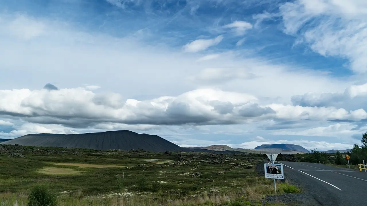
The first photograph below was taken at the junction of the Hverfjall side road and Route 848. It shows the crater from the west, surrounded by lava fields, with a sign pointing to Dimmuborgir. There are apparently walking paths among its strange lava pillars and other rock formations, but we did not visit. The whole drive made it clear just how thoroughly volcanic activity had shaped this land. The hill in the distance, straight ahead, is Lúdent. Like Hverfjall, it is said to be a crater formed when magma met water, though it is older.
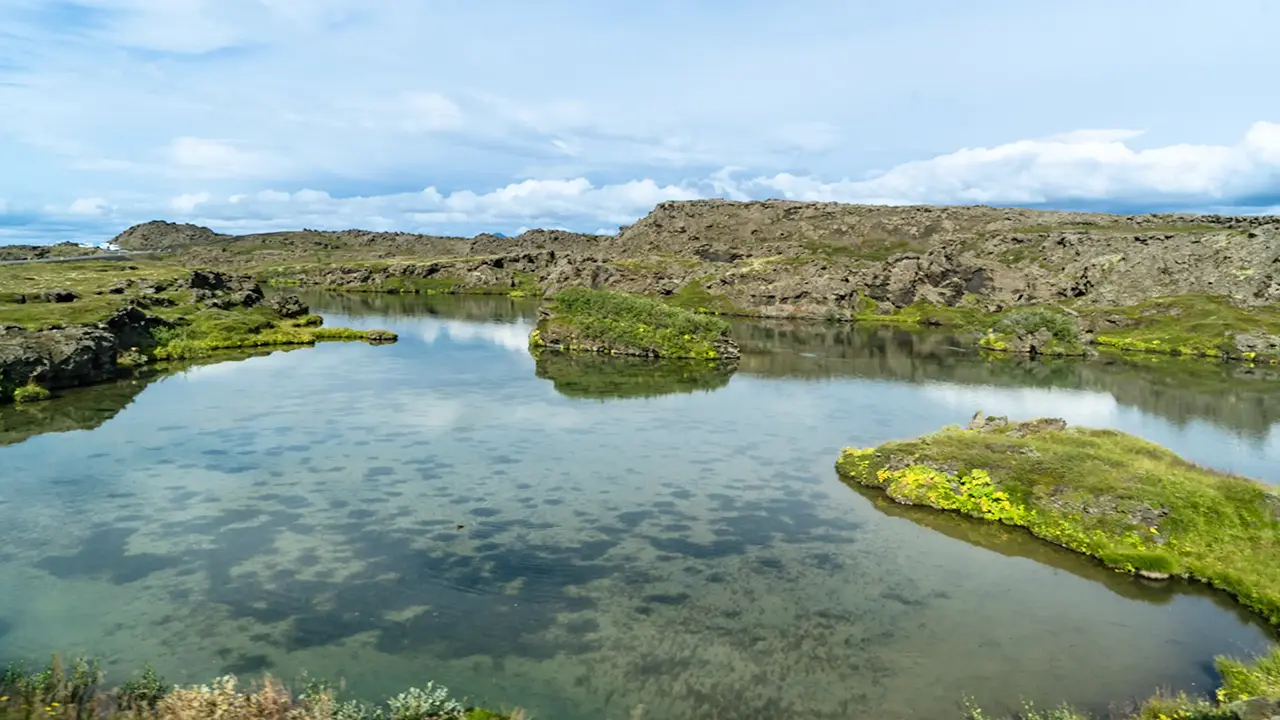
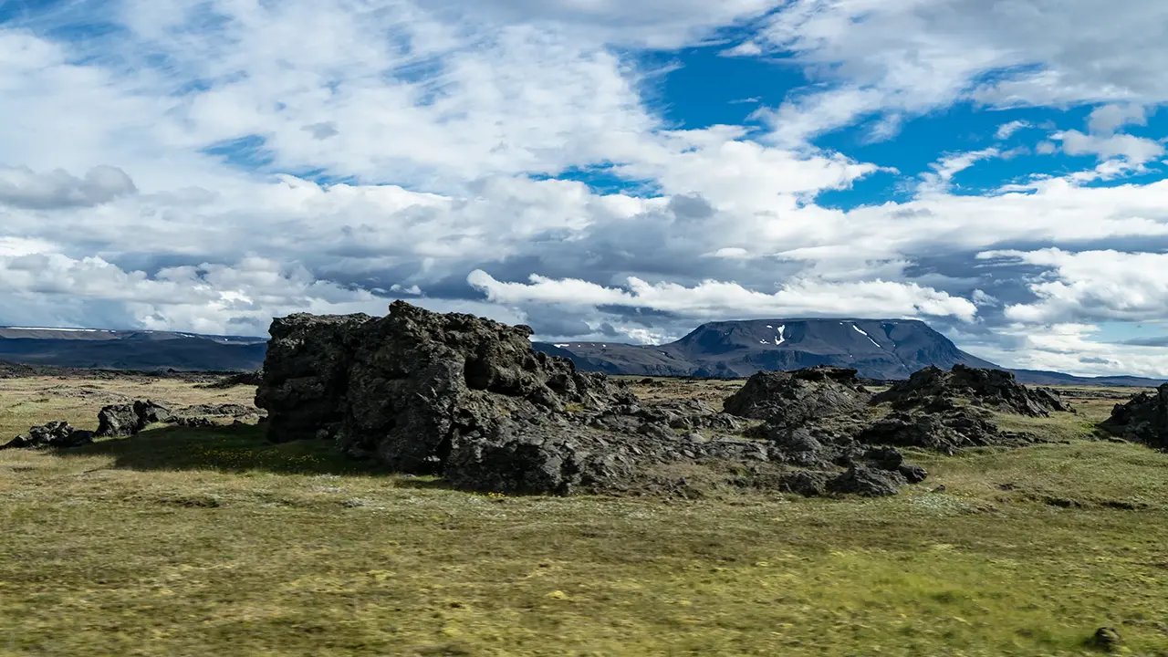
A pond appeared on the left a little farther along, seemingly cut off from Lake Mývatn on our right. I later read that springs fill it and the excess water flows into the lake. There were also outcrops that looked like lava pillars. Water, rock, and the shapes of the land: volcanic activity had left its mark on everything.
We drove on across what looked like a plain of sand and gravel softened by grass. A line of mountains seemed to bar the way ahead, except for one gap. That appeared to be where we were heading. About half an hour later, before reaching it, we stopped at Goðafoss.
Goðafoss
The falls came into view after a short walk from the parking lot beside the Ring Road. A path led farther along towards the top of the falls, but we were short of time, so I stayed back and took my photographs from there.
Judging by Google Maps, the parking lot and other facilities seem to have been considerably improved since our visit. I remember a rather forlorn spot with very little there.
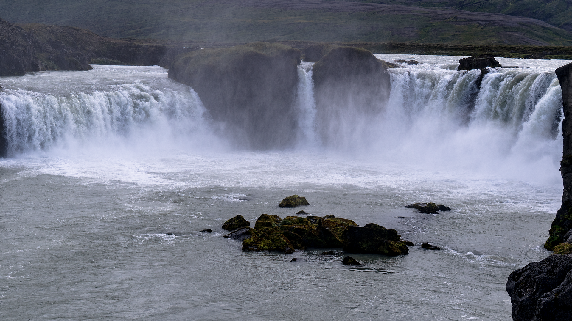
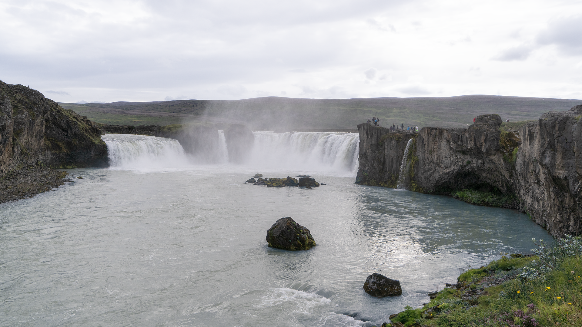
Goðafoss is on the Skjálfandafljót River. The falls are said to range from about 9 to 17 meters in height and span roughly 30 meters. They were certainly impressive, though after Dettifoss they seemed rather small. Sorry, Goðafoss!
The river makes its long journey north from the central highlands, cutting through lava plateaus along the way. Here, it flows across seemingly level ground, then suddenly tumbles over a ledge. As with the other waterfalls we had seen, I suspected that river erosion and differences in the hardness of the rock layers had helped shape the falls.
An information board by the parking lot explained how Goðafoss came by its name, “waterfall of the gods.” What interested me was that the story appears to owe more to legend than to recorded history. Around AD 1000, the Alþingi, Iceland’s national assembly at Þingvellir, decided that the country should adopt Christianity. A chieftain who lived nearby and served as the assembly’s lawspeaker is said to have thrown his statues of the old gods into the falls, giving the waterfall its name. Yet the tale of casting those statues into the water apparently appears nowhere in contemporary records; it only turns up in writing in the 19th century. It seems, then, to be a legend that grew up much later, rather than a documented event from a thousand years ago. Knowing that gave the story on the information board an interest of its own.
It was already past 4:30 p.m. when we left Goðafoss, our last stop for sightseeing that day.
Scenery Along the Northern Route
After leaving Goðafoss, we headed towards the valley between the mountains that had been in view for a little while. We crossed a pass along the way, and after about an hour on the road, the sea came into view. This was apparently a fjord called Eyjafjörður. We followed its eastern shore south towards the head of the fjord, where a causeway crossed the shallows, and drove across it. I took the first photograph through the minibus window as we crossed the causeway. On the other side was Akureyri, the main city of northern Iceland, but we only passed through.
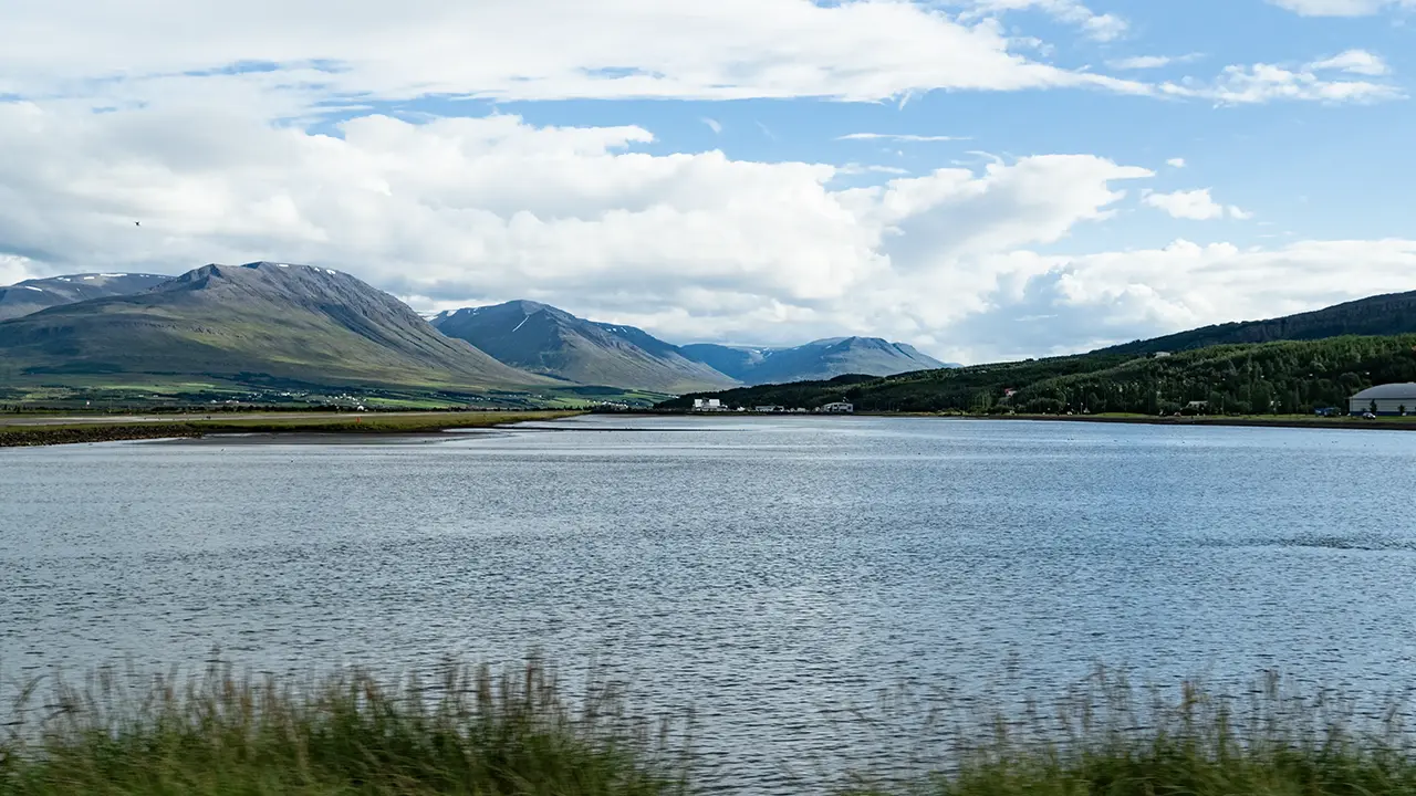
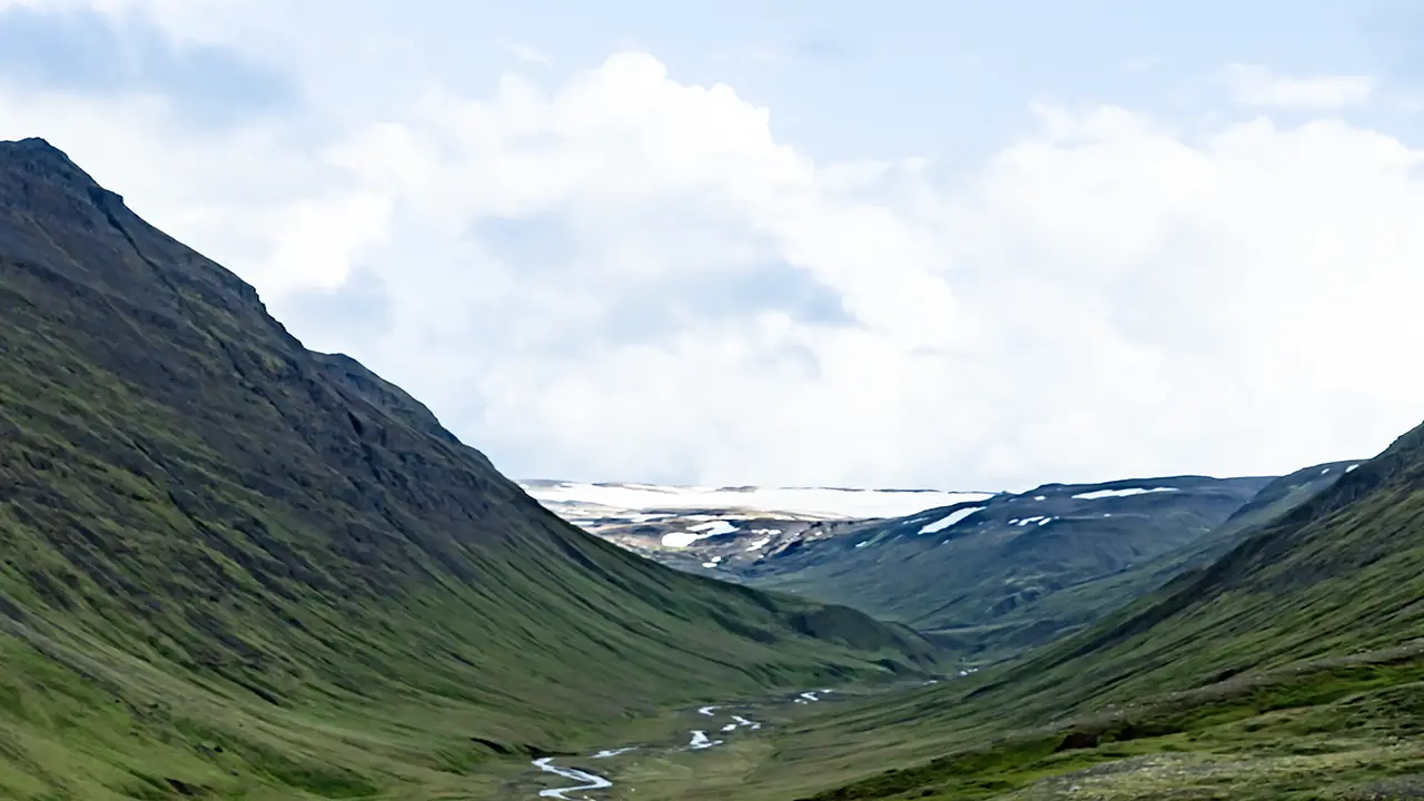
We kept heading west, driving through the valleys between Eyjafjörður, which we had just seen, and Skagafjörður to the west. Mountainous country stretched around us, with a number of small glaciers remaining in the valleys between the high peaks. I took photographs through the window from time to time; the second photograph is one of them.
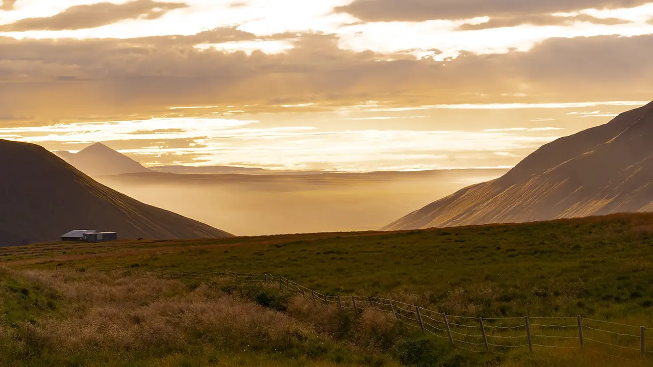
After about two and a half hours on the road, I asked for a stop. The reason was the view in the third photograph. The setting sun was turning the sea of clouds along the western horizon golden. Looking into it afterwards, I think this was somewhere near Vatnsskarð pass.
Once we crossed the pass, what had looked like a sea of clouds from up there turned out to be fog filling the landscape. A church stood alone in the fog, its light glowing warmly. It is apparently called Blönduóskirkja and seems to have been built in 1993. Not such an old church, then.
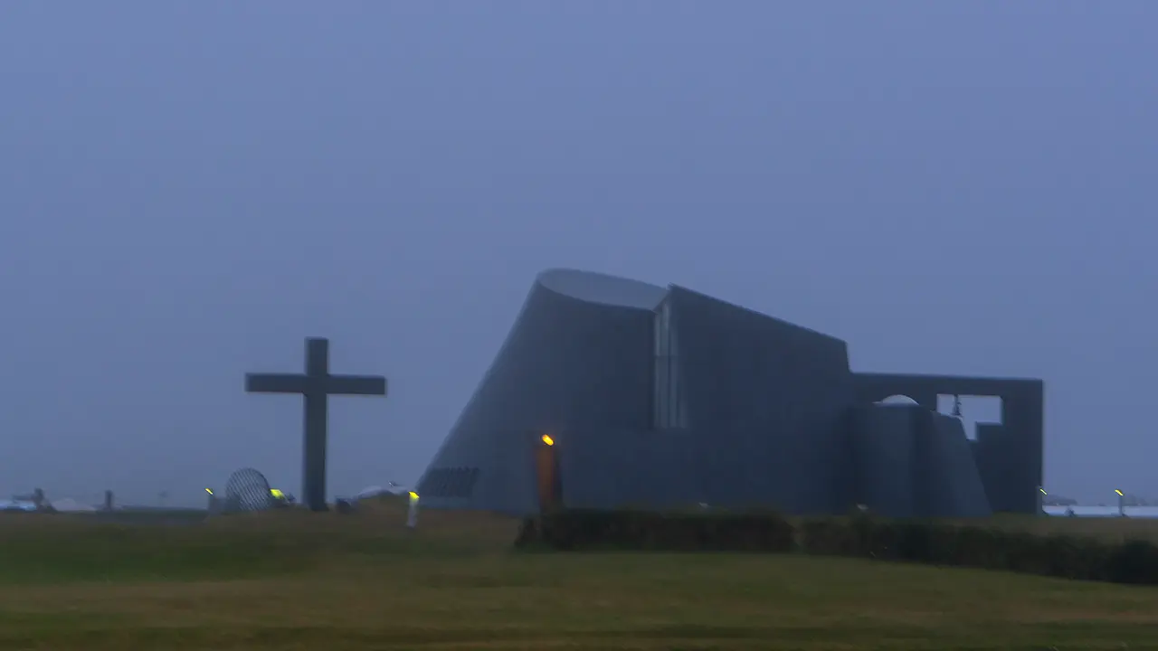
A church in the fog
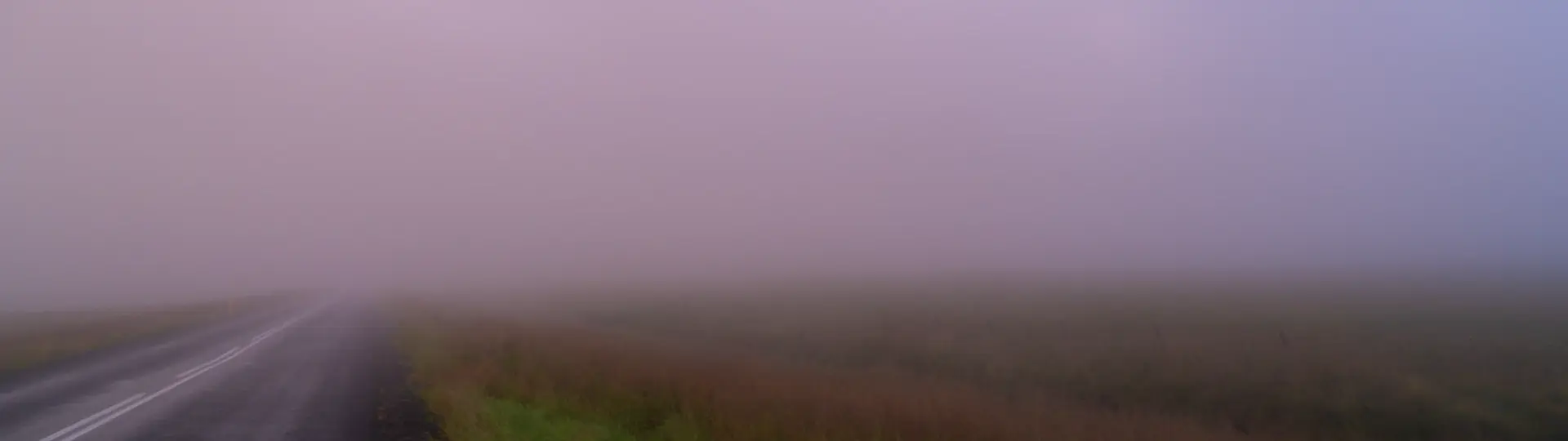
It was almost frightening by now.
After that, we were in a complete fog, quite literally. “And it is already past 9:30 p.m.…” I found myself thinking. Well, it was the weather, so I could hardly complain.
Day four of the tour had once again been a day with plenty to see.
Hvítserkur
From day five of the tour onwards, we travelled around western Iceland. Our first stop was Hvítserkur, an oddly shaped rock.
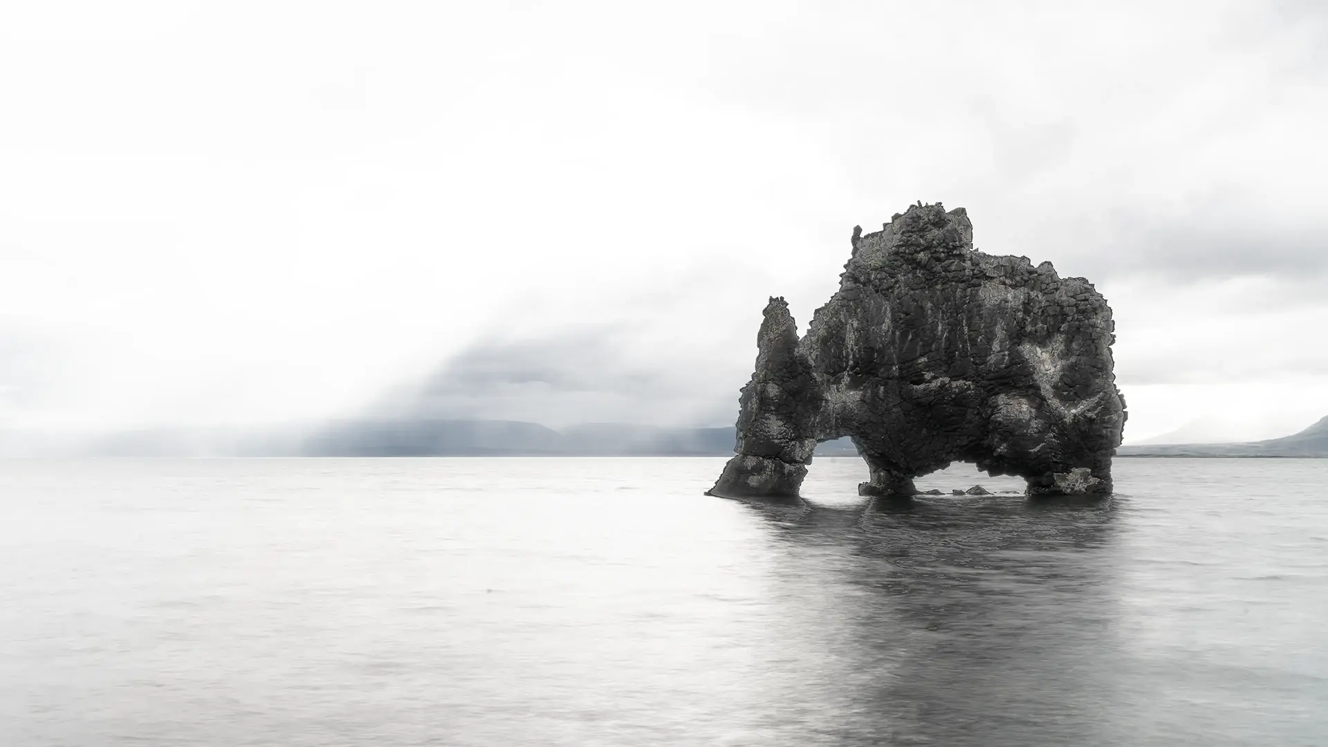
It looks like an elephant. Apparently, it is also called a dinosaur rock, or likened to a dragon drinking seawater or a rhinoceros.
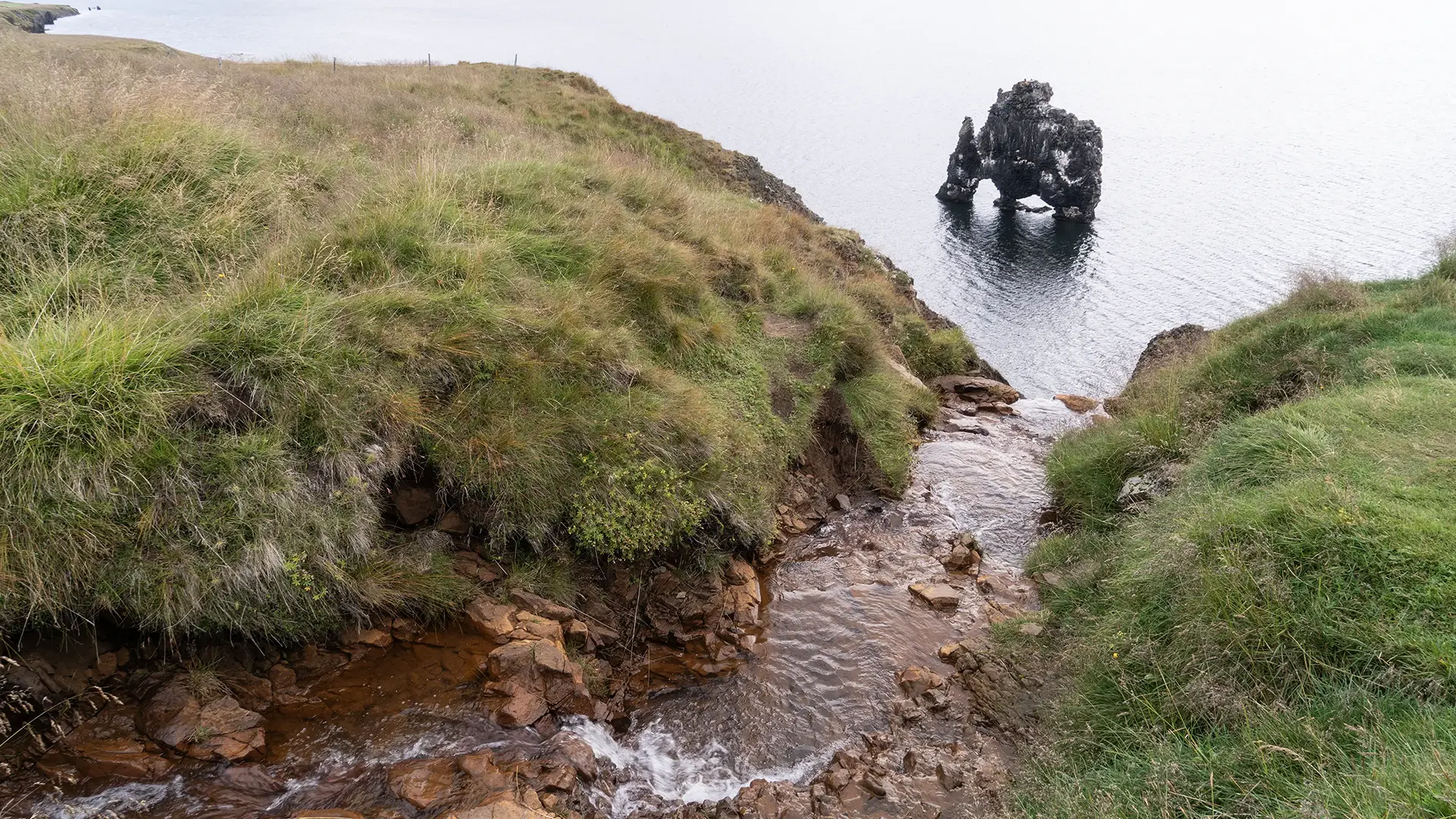
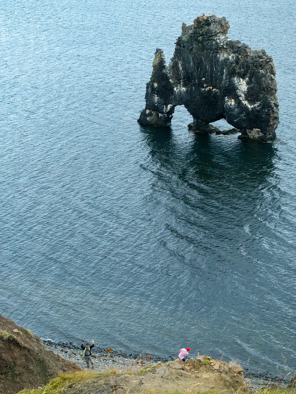
The tiny speck of a person is me.
After getting off the bus, we walked towards the shore, and the rock came into view. The viewpoint is above the waterfall where a small stream drops into the sea. The view of the rock through the V-shaped notch was not bad either. But I had seen photographs of this place while planning the trip and had wanted to try photographing it from beach level myself. Now, at last, I headed down the cliff path. The photographs I had seen beforehand showed reflections in a sea as smooth as a mirror, but there were waves and rain that day, so the sea was not mirror-smooth. I tried taking a photograph with a slow shutter speed of about one second. The photograph came out looking dreamlike. Perhaps it was just my own satisfaction, but I was reasonably pleased with it.
This spot is on the eastern coast of the Vatnsnes Peninsula, about 25 km from the Ring Road, so I was happy that the tour went out of its way to stop here.
Incidentally, this rock is a sea stack of black basalt, about 15 meters high. It is said to have acquired its present peculiar shape as waves wore it away over many years.
Apparently, concerns that marine erosion might cause it to collapse led to a local preservation campaign in the 1950s, and its base was later reinforced with concrete. Nature created this rock, but a little human intervention has also helped it survive to this day.
An interesting little fact.
Kolufossar Waterfalls
Our next stop was the Kolufossar waterfalls. They fall into a deep gorge carved out by the Víðidalsá River. Apparently, Kolufossar is actually the collective name for the waterfalls here, rather than the name of a single waterfall.
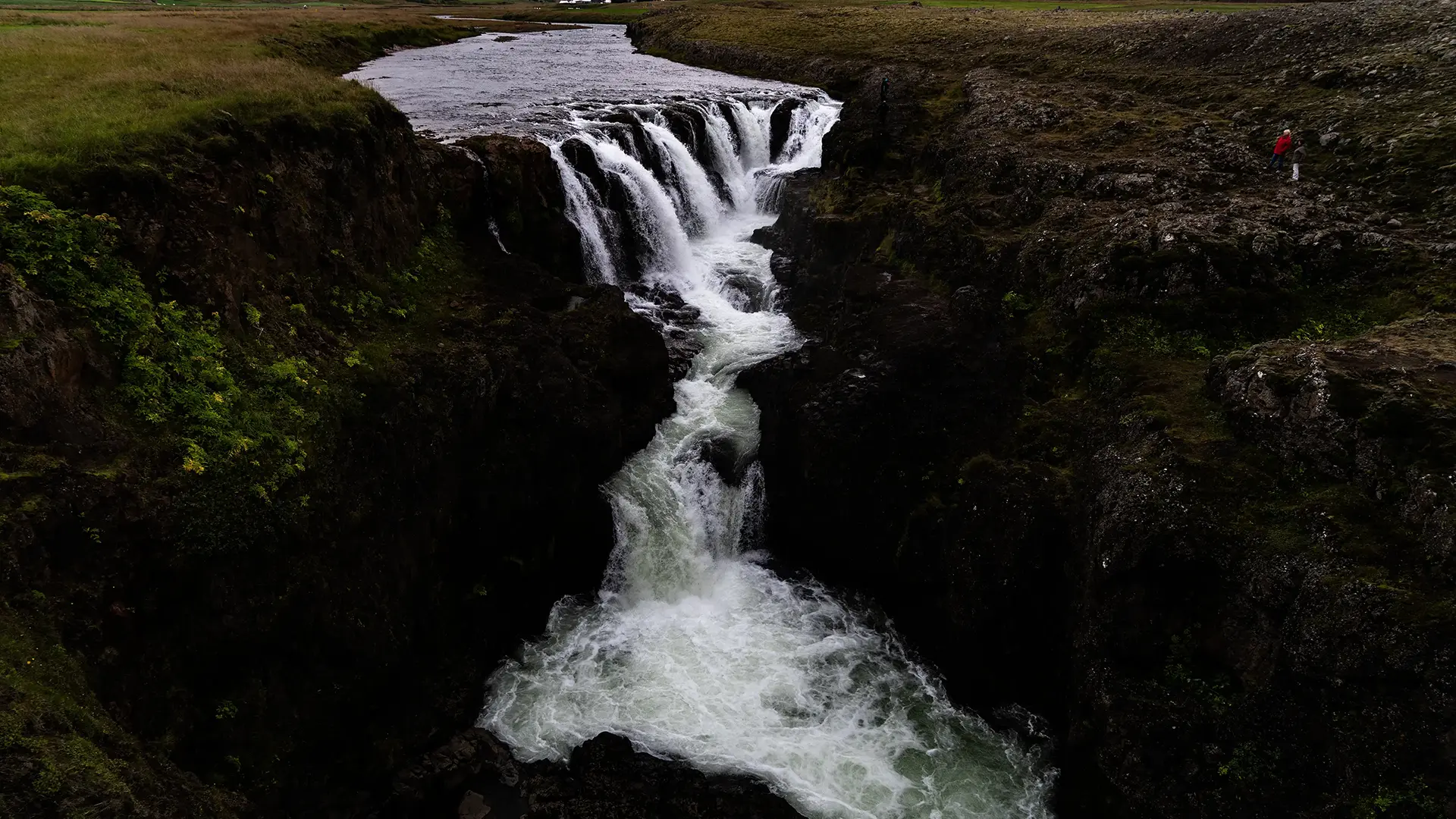
The falls are about 6 km south of the Ring Road. We walked from the car park to a bridge. I think the view from there gives the best angle for photographs. We walked around for about twenty minutes, and that was the end of our visit.
Apparently, a viewing platform was installed in 2018. Perhaps the best angle has changed since then. (Laughs.)
After this, we had lunch and joined a separate tour, which was unusual for this trip.
Langjökull and the Into the Glacier Tour
The glacier tour took us out in a snow bus with huge tires. Our minibus was hardly going to manage that. (I had actually expected a tracked snow vehicle.)
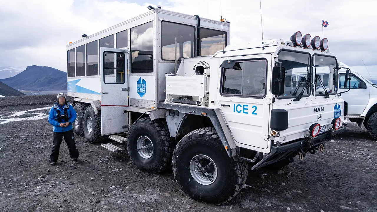
Eight enormous tires
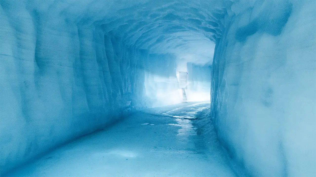
It was like a long, man-made kamakura (a Japanese snow hut)
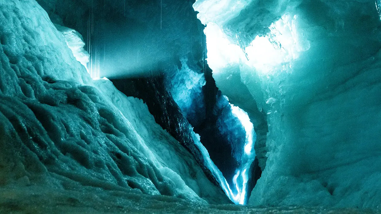
In one section, we could see a natural crevasse
On this tour, we explored a man-made tunnel inside Langjökull glacier—an attraction, I suppose you could call it. An eight-wheel-drive monster truck converted from a military vehicle took us from base camp over dirt roads and ice to the tunnel entrance, about 5.6 km away on the glacier. We then walked a circuit through the tunnel. It was all a bit touristy, but along the way the tunnel crossed a natural crevasse, giving us a look into the cracks inside the glacier. The best part was the scenery out on the glacier.
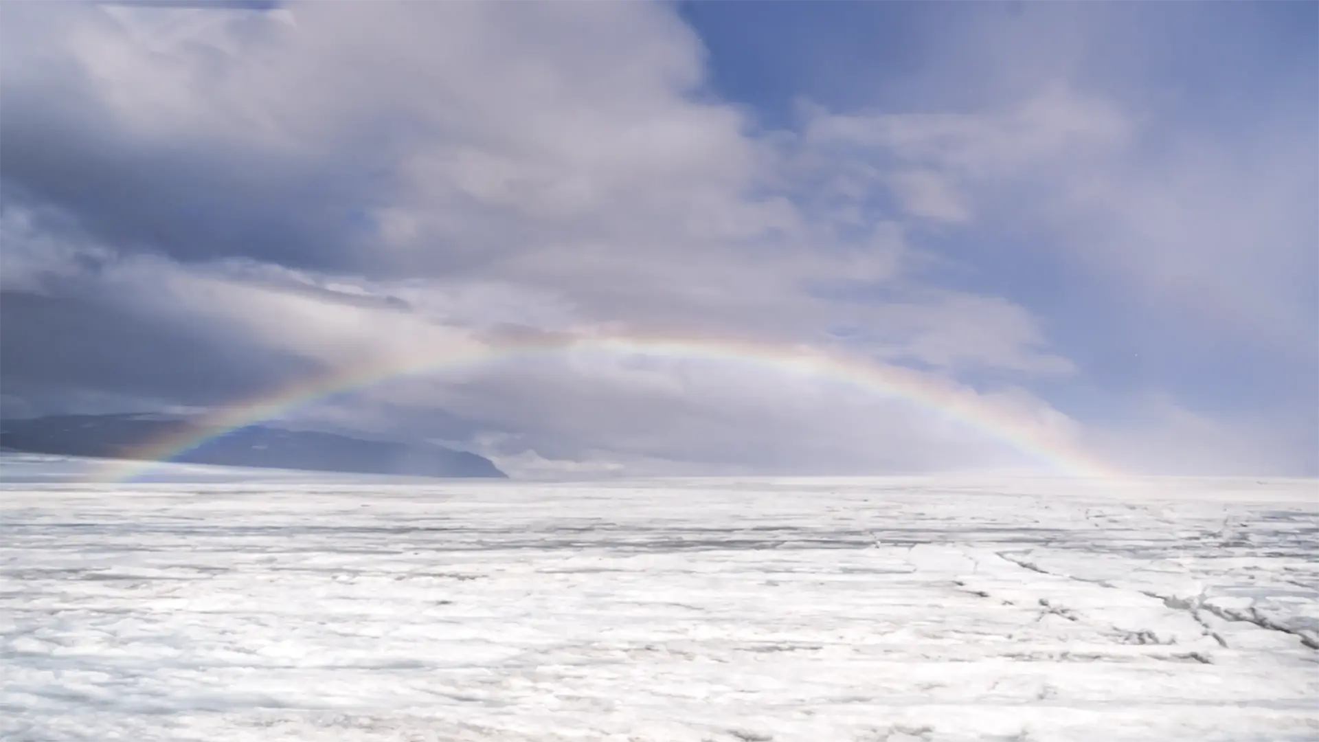
The dazzling white glacier
There were a few brown patches, but otherwise it was dazzlingly white. The rainbow earned it a few extra points, too. I took this photograph from inside the monster truck, through the window. I would have liked to take it outside, but that was not an option.
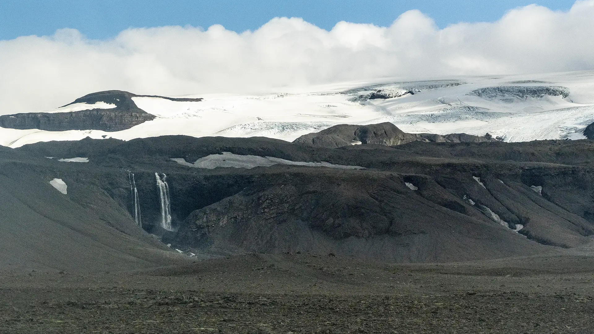
I took this photograph from the parking area where we changed to the monster truck. At the foot of the glacier, meltwater came down in a series of waterfalls. In places, it looked as though the water was seeping out between the rocks and falling straight down. Yet the river nearby was little more than a stream. It hardly seemed large enough to carry all that water. Perhaps some of it was finding its way underground through the volcanic rock.
That brought our two-and-a-half-hour glacier tour to an end. We had certainly played the tourist. Looking back, it was the only attraction of this kind on the trip.
After this, we stopped at Hraunfossar.
Hraunfossar
About half an hour after leaving Langjökull glacier, we came to a car park on the right. An information board headed "Hraunfossar & Barnafoss" described the two waterfalls.
According to the board, Hraunfossar is formed by countless clear springs that emerge along the edge of the Hallmundarhraun lava field and flow into the Hvítá River. The board described Hallmundarhraun as a field of pillow lava, thought to have formed around AD 800, shortly before the first recorded settlers arrived in Iceland. It takes its name from Hallmundur, who is said in Grettis saga to have lived in this area. Surface water and glacial meltwater make their way between the layers of lava, then emerge to form Hraunfossar. The falls stretch for about a kilometer, flowing all year round between rocks and birch shrubs into the Hvítá River. No wonder they looked so different from the other waterfalls we had seen in Iceland. The board also explained that the Hvítá River has an average flow of 80 cubic meters per second, rising to as much as 500 during floods. At those times, the river can spill out of its narrow channel and flood the surrounding area.
Back at Langjökull, I wrote that perhaps some of the meltwater was finding its way underground through the volcanic rock. That was actually meant to set up this part of the story. And here was the board explaining that surface water and glacial meltwater pass between layers of lava, then emerge as Hraunfossar. Aha, that ties things up nicely—or so I thought. It probably did not mean that the very water we had just seen had flowed all the way here. Still, it was interesting to see the two places one after the other: meltwater finding its way into volcanic rock, then coming back to the surface somewhere else.
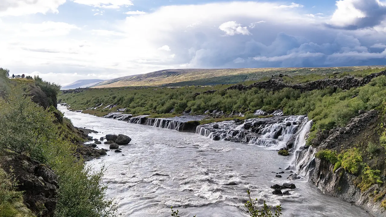
The full view from a spot that juts out
farther from the car park
farther from the car park
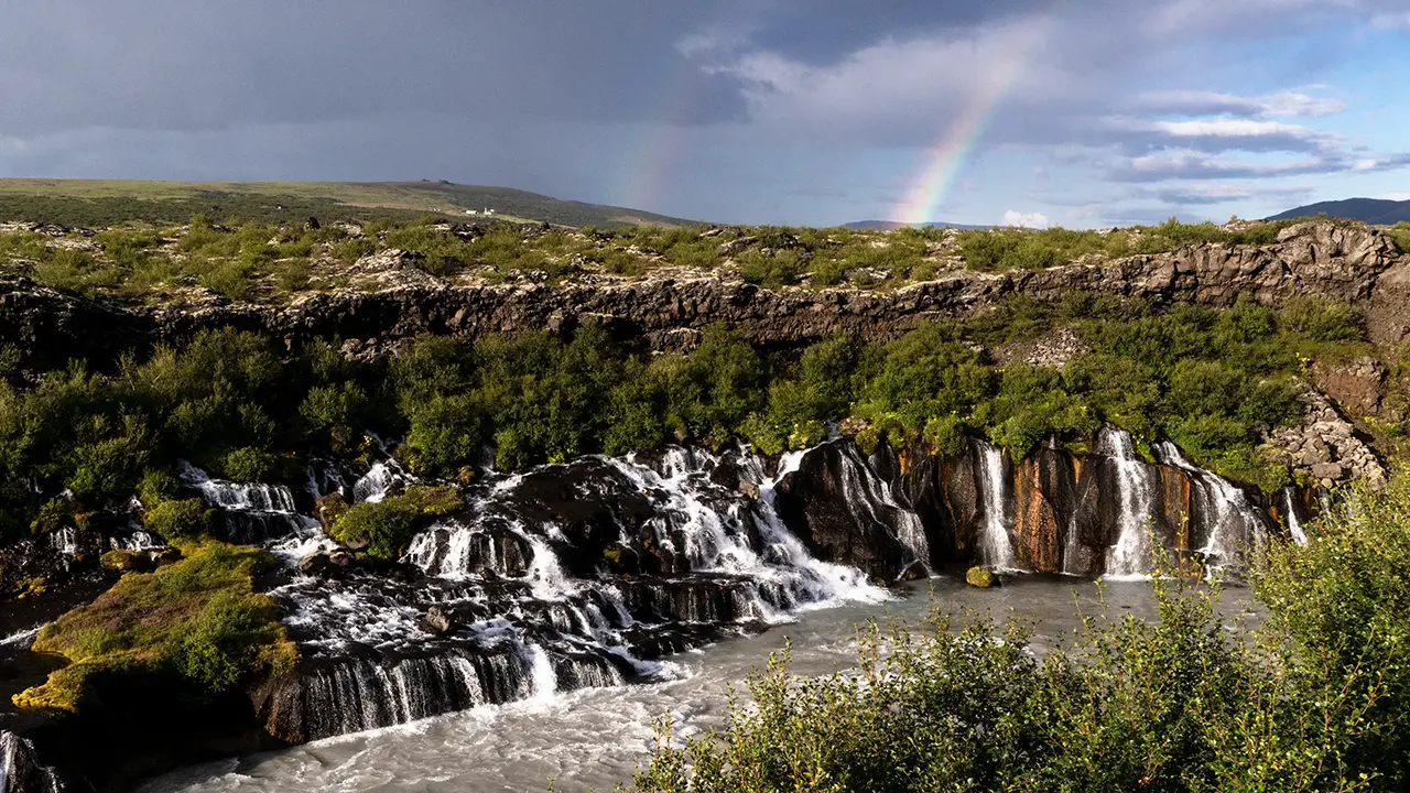
Looking straight at the falls
from the railing near the car park
from the railing near the car park
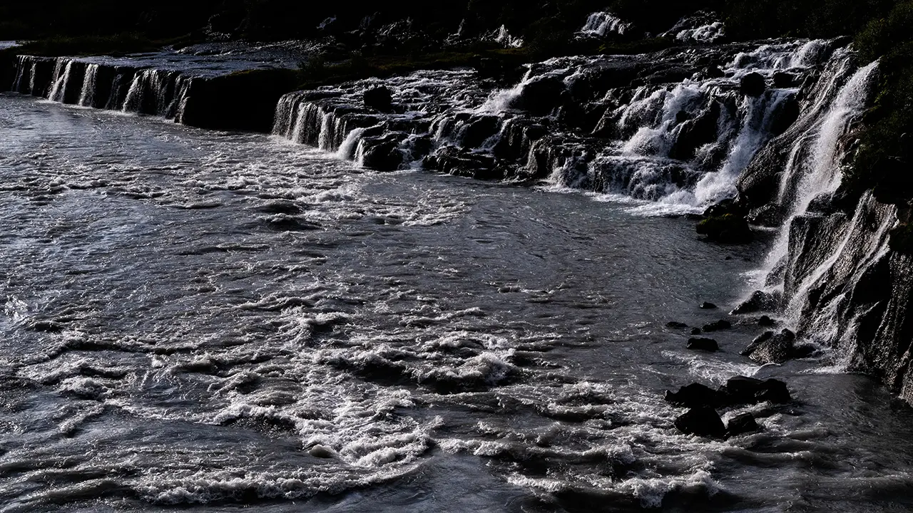
Taken at 70mm
The path was narrow, and nobody seemed to be going that way, so we did not go on to Barnafoss. Looking at Google Maps now, the paths and facilities seem to have been improved considerably. Apparently, work on paths, steps, drainage, wheelchair access and railings was carried out in 2017, the year after our visit, with further improvements made in stages since then. If the paths and facilities had been as good then as they are now, we would probably have gone on to Barnafoss.
These falls were our last sightseeing stop of the day, and we set off for our accommodation. Looking back through the photographs, though, it seems we took Route 50 south to Borgarnes instead of going straight there. Steep mountains gave way to broad stretches of farmland and back again as we drove, before we crossed Borgarfjörður on a long bridge into town. I have no record of why we went there, and cannot remember either, but it was probably for dinner.
Around Our Accommodation at Hvítárbakki
The sky was glowing with sunset colors when we arrived at our accommodation. Once I had settled in, I went outside and found a river running past on the west side. I strolled down to the bank just as the sun was sinking from view. After days of poor weather, I finally got to enjoy a sunset—on day five of the tour. I hoped we would have better weather from the next day onwards.
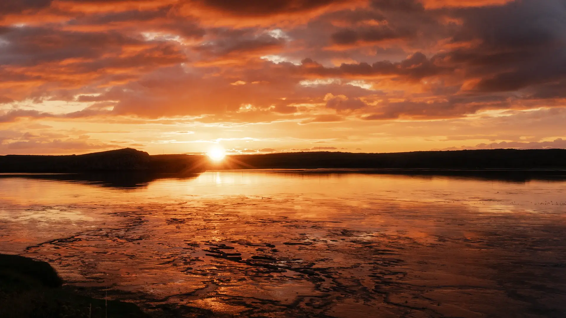
When I got up the next morning, it was the view to the east that caught my eye. The morning mist gave it a lovely feel that was hard to put into words. I spent about half an hour walking around. If I had not been on a tour, I would have taken my time and stayed longer.
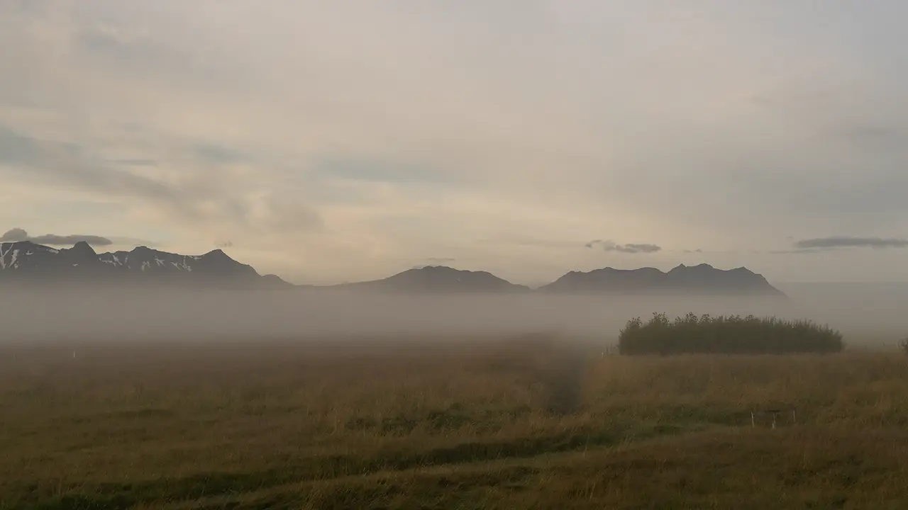
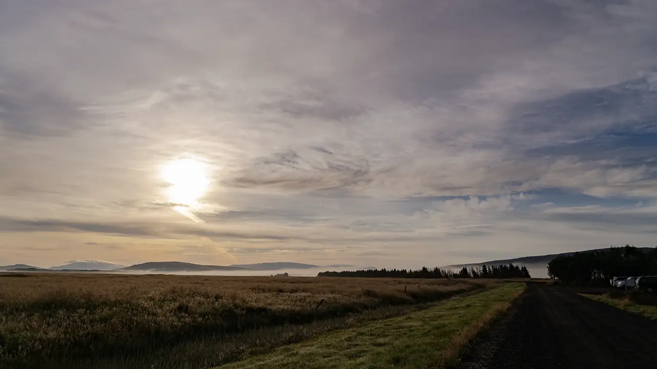
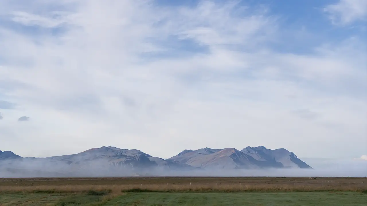
At the time, we stayed in a simple hostel called Hvítá Guesthouse. It now seems to be called The Hvítá Inn by Ourhotels, and appears to have been renovated and expanded, with meals available too.
On day six of the tour, we travelled around the Snæfellsnes Peninsula, enjoying the coastal scenery.
Snæfellsnes Peninsula
We started the day with a drive of about two hours from our accommodation to near the western tip of the Snæfellsnes Peninsula, along its southern coast.
The Coast at Arnarstapi
Our first stop was the coast at Arnarstapi, a stretch of basalt cliffs, sea caves and oddly shaped rocks.
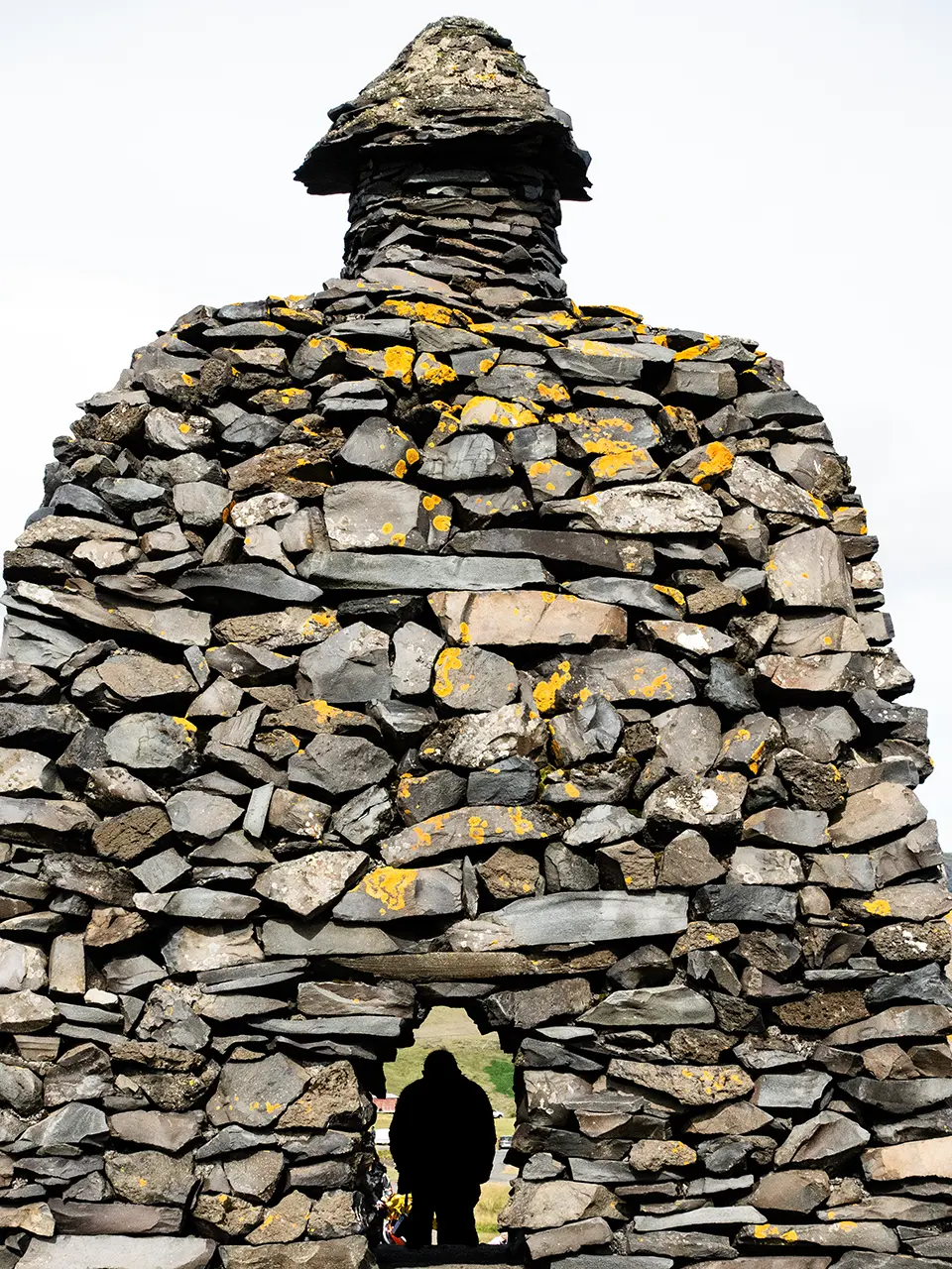
After getting off the bus, we walked straight towards the shore. On the way stood a statue built from stones, representing Bárður Snæfellsás. Apparently, he is a half-human, half-giant figure from Icelandic legend. I was not particularly interested in the legend, so I just had a bit of fun with the statue.
From the headland, we could look along the coast to the northeast and to the south. The first photograph looks northeast, with a wall of basalt columns right in front of us. I was struck by how flat the land was on top. Can you make out the three or so visitors at the upper left? They look no bigger than pinpoints, which gives some idea of the scale of the place. The second photograph looks south. The cut into the land and the hollow in the cliff in the foreground gave me a sense of just how much erosion had taken place. For the third photograph, I zoomed in on the black sand and breaking waves visible in the second.
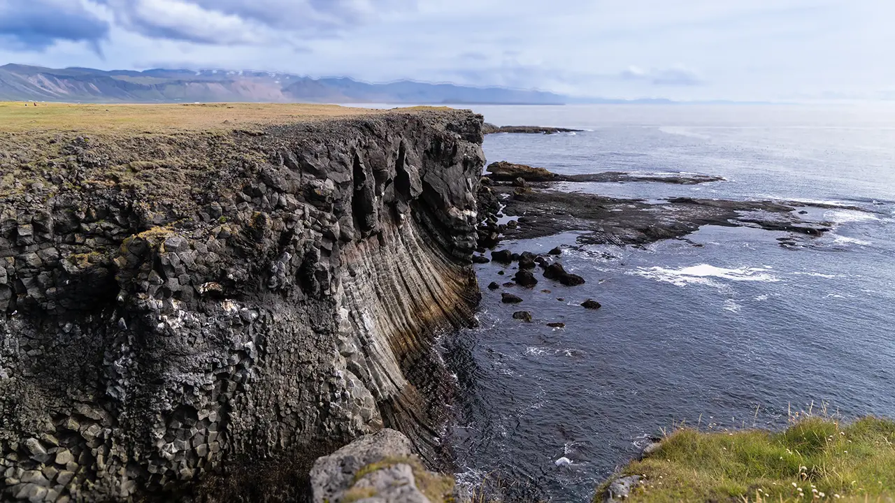
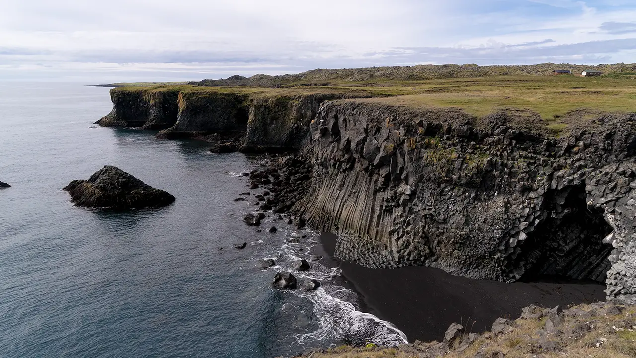
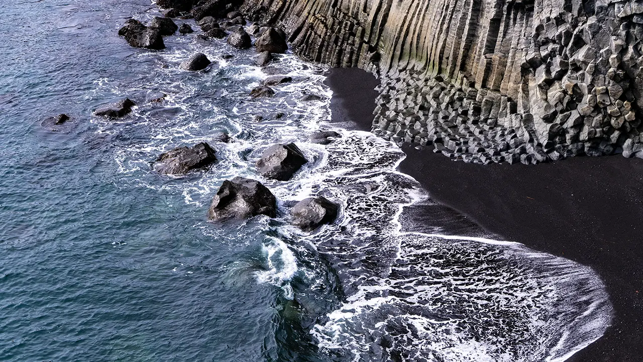
The black beach and white waves made such an impression on me that I kept taking photographs. I doubt many people will find them quite as interesting, but I have included them here to show what caught my eye.
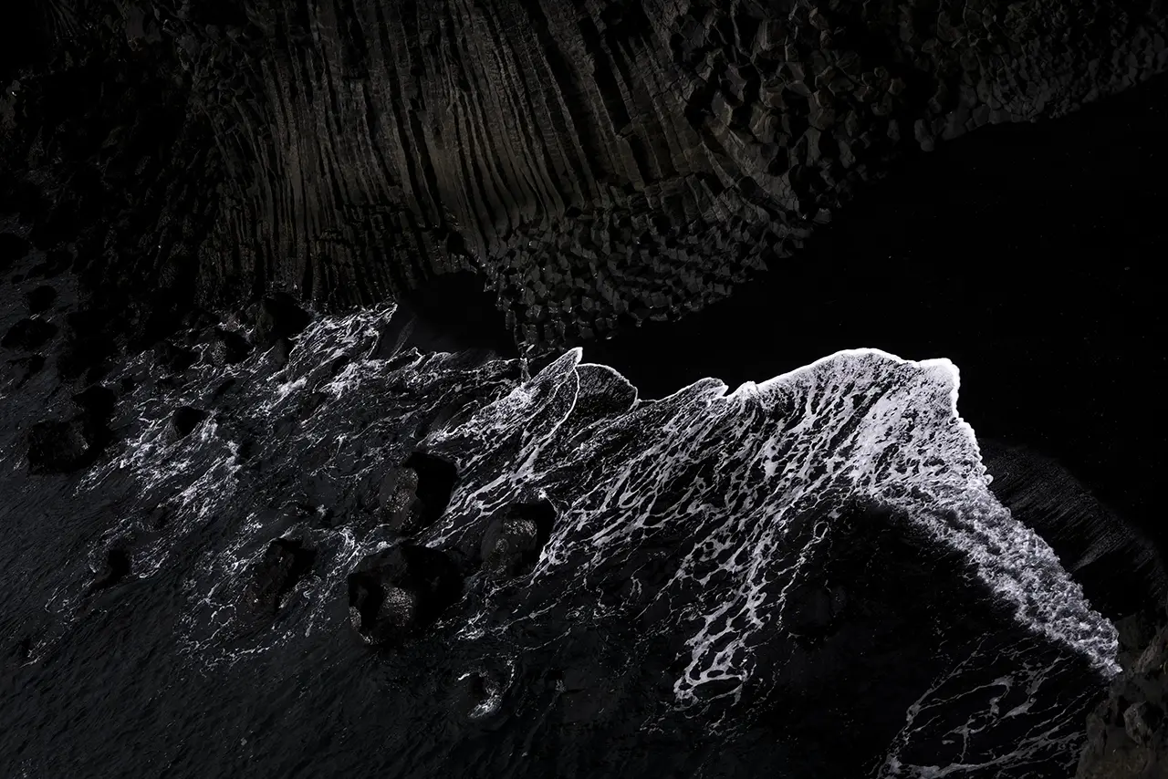
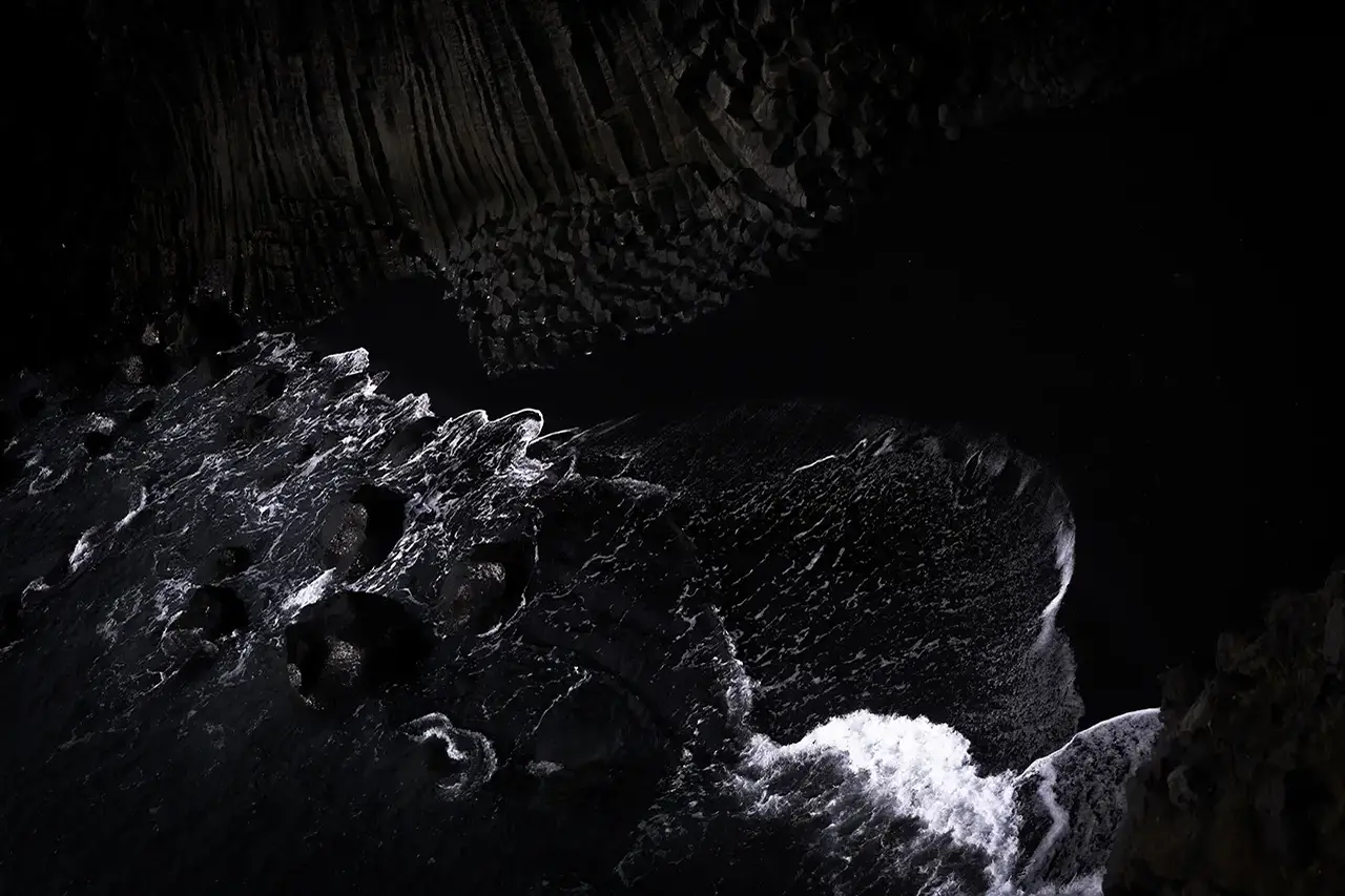
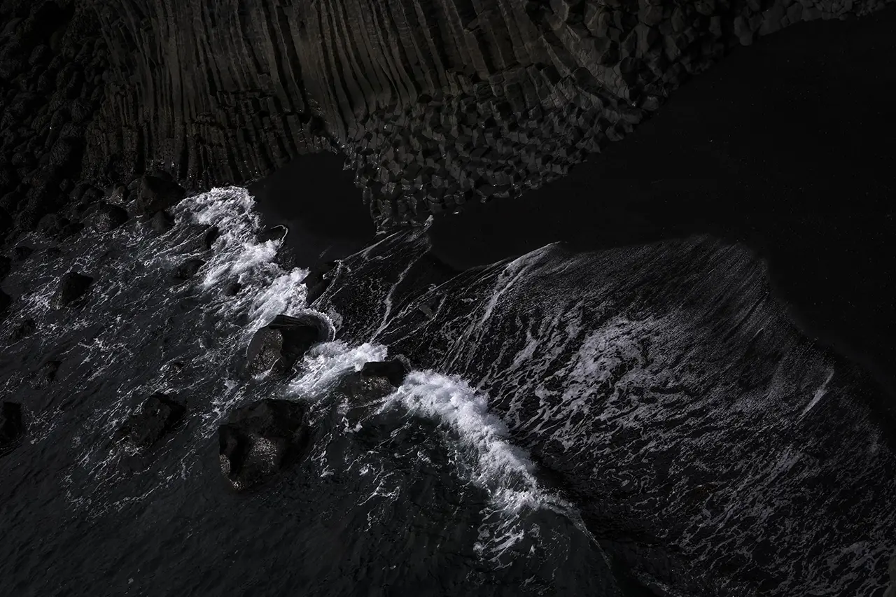
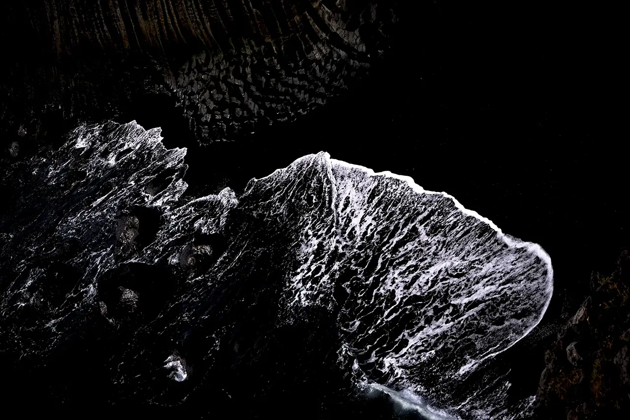
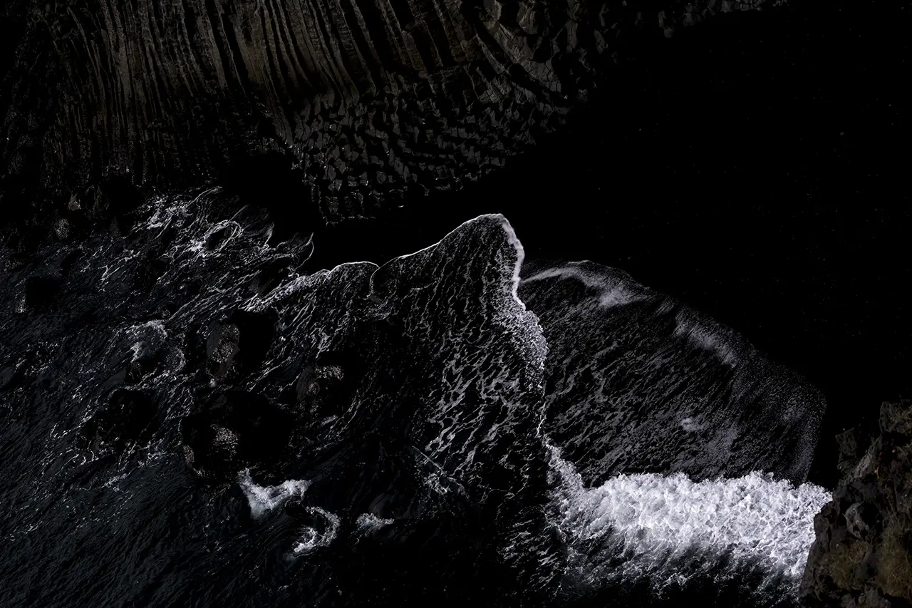
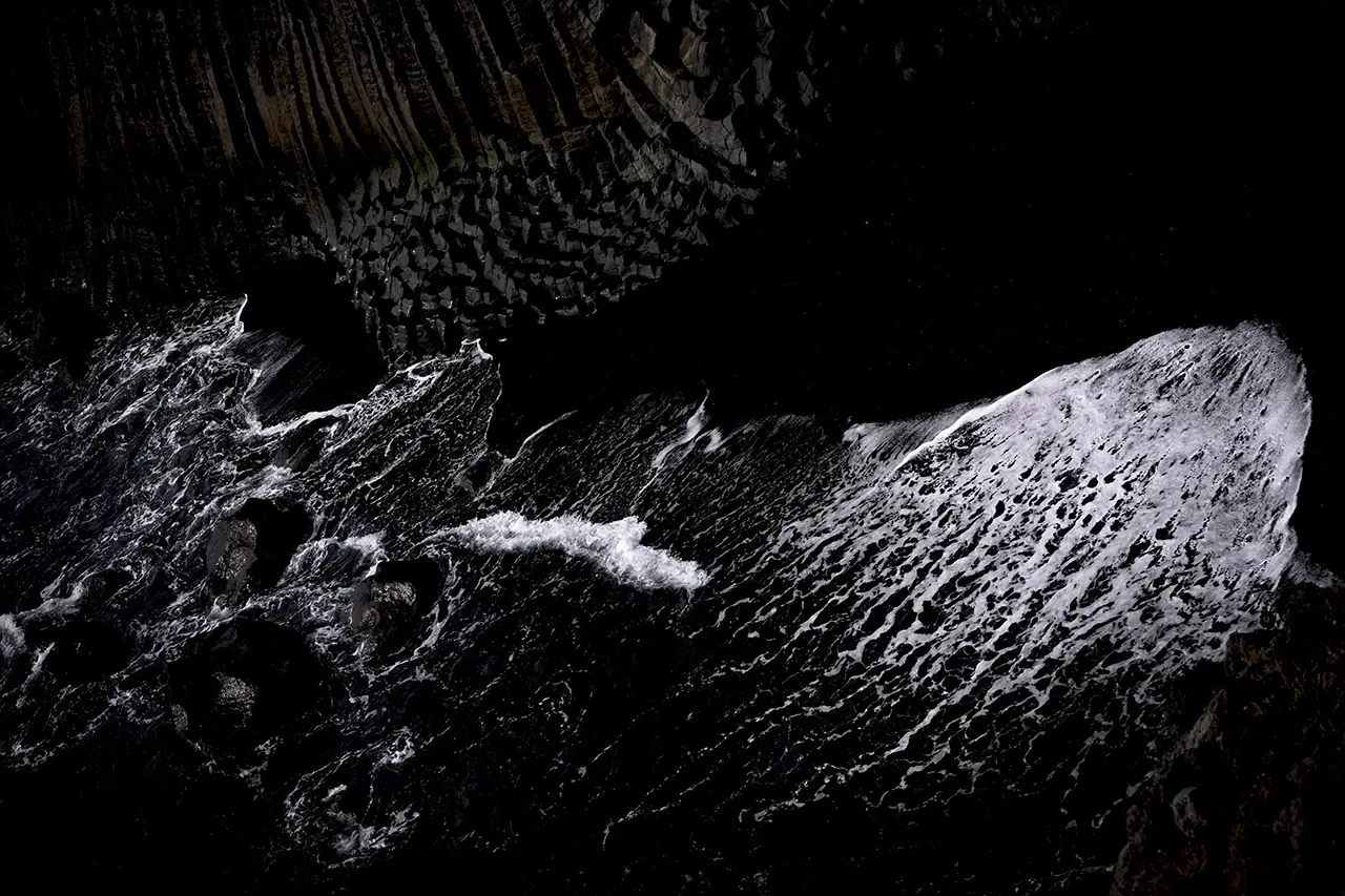
Gatklettur
We walked back from the headland, then a little farther north, where some strikingly shaped rocks came into view.
This one made the biggest impression on me.
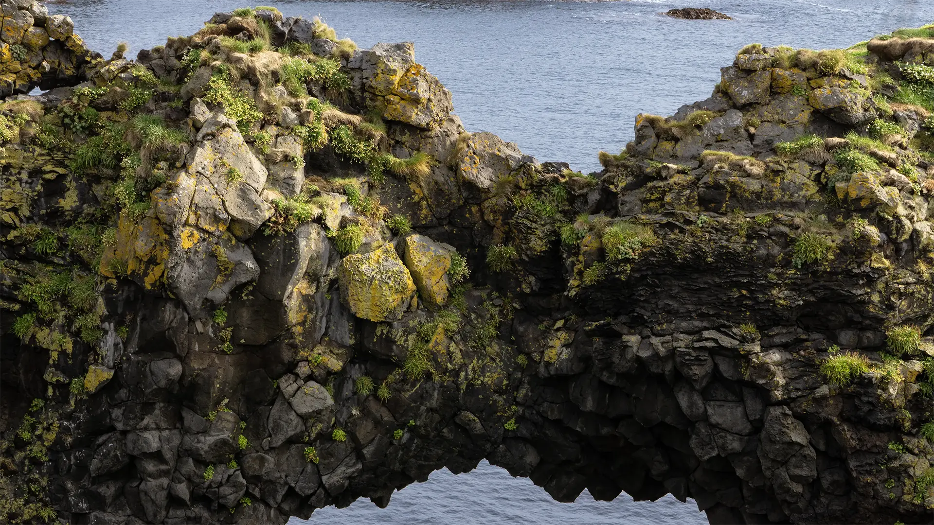
This is the arch of a rock formation called Gatklettur. Its overall shape is hard to make out in this photograph, but the first one below shows the whole thing. It is quite a large sea arch. The second photograph is from the north; in the background is the viewing platform where I took the first one. Apparently, there are several sea arches along this stretch of coast.
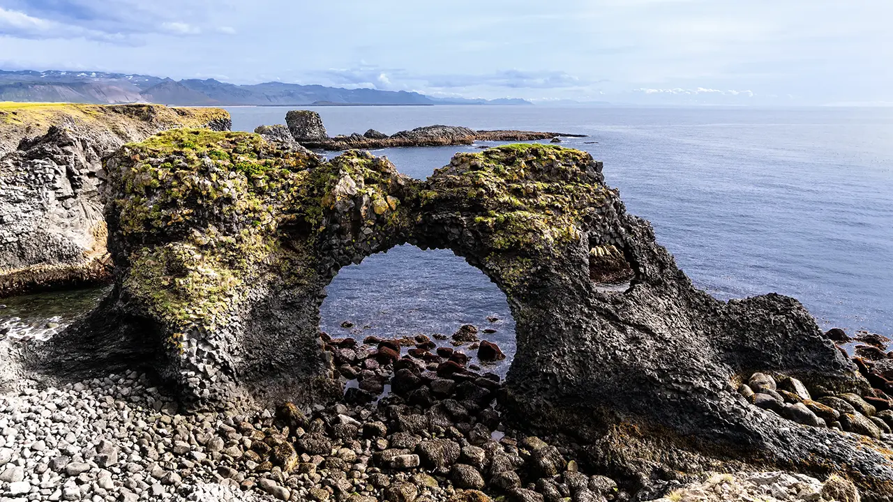
From the viewing platform right
in front of the arch.
in front of the arch.
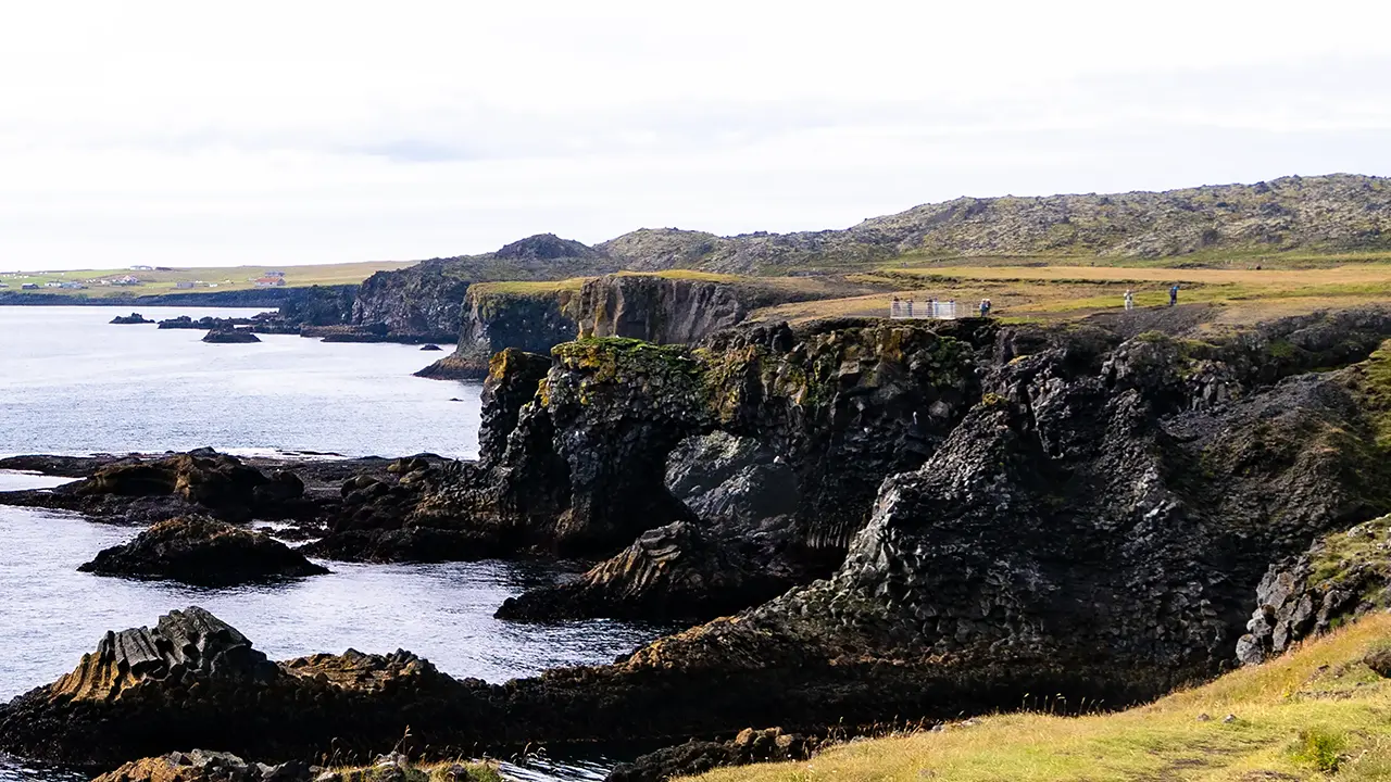
Can you make out the opening in the middle?
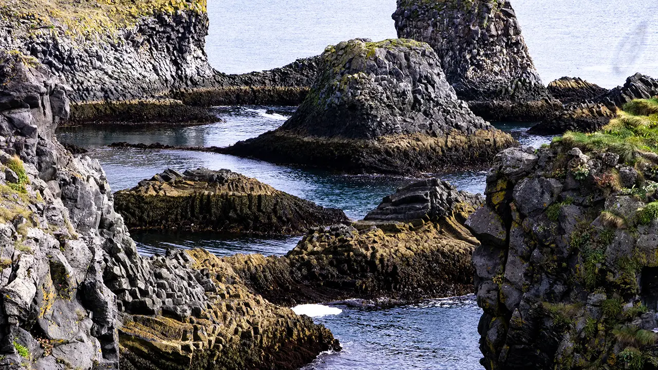
Rocks a little farther north. A cute hat.
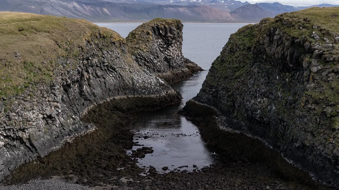
An inlet called Pumpa
There was a lighthouse on the right.
There was a lighthouse on the right.
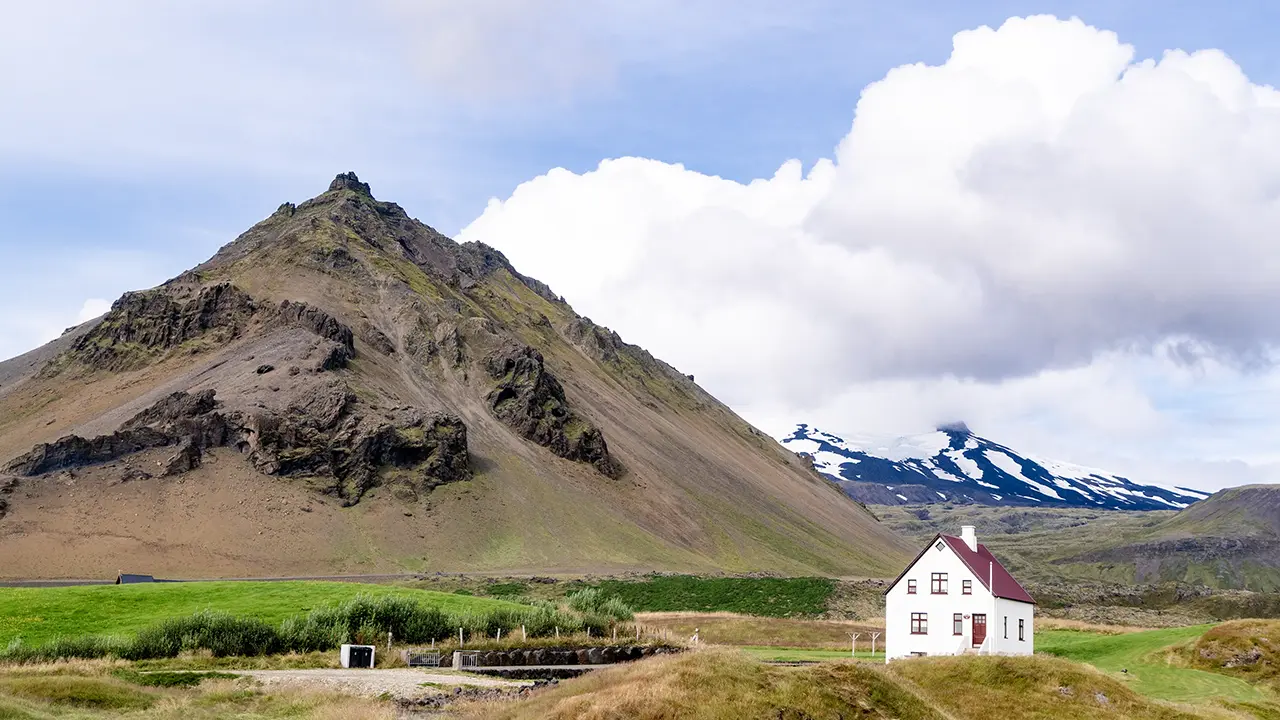
Like a cone—a local landmark
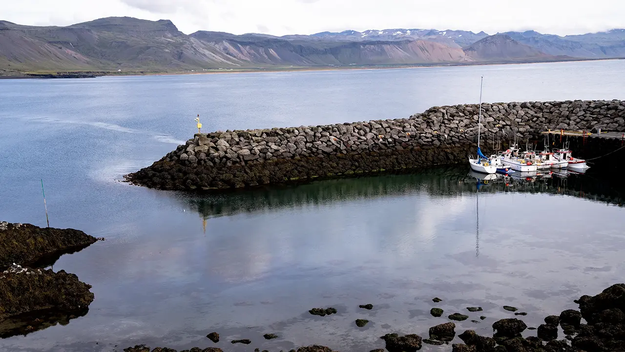
A tiny harbor
We kept walking north after seeing Gatklettur. The rocks farther along caught my eye too, especially one that seemed to be wearing a hat. I wondered how it had been worn into that shape. The surrounding cliffs were deeply eroded at the bottom, yet this rock was still standing with its hat on. Curious. We continued past coves that cut deep into the coast, until we reached the car park at Arnarstapi harbor. The tour bus had moved from the cliff-top car park to meet us there. Certainly much more efficient than retracing our steps.
Looking inland, I could see Stapafell, a mountain that seemed to stand as a symbol of the area. Farther back to the right was Snæfellsjökull. To the north was Arnarstapi harbor, its waters calm. I would have liked to go down and take some photographs if there had been time. But I was on a tour. That was that.
We spent about half an hour walking around before moving on.
Djúpalónssandur
About twenty minutes later, we reached the beach at Djúpalónssandur.
We walked from the car park through the lava formations to the shore, along a path called Nautastígur. Apparently, the name literally means "cattle path": naut means cattle, and stígur means a path or trail. I thought it was unusual for a trail to still carry such an old name.
We were told that there were stones on the beach that fishermen had used to test their strength, as well as scattered pieces of a shipwreck. Neither particularly interested me. It was the oddly shaped rocks that caught my attention.
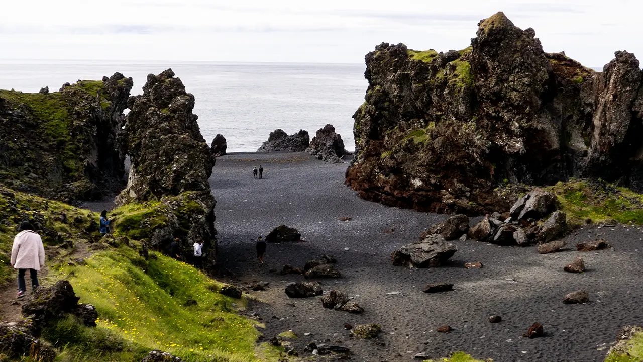
Nautastígur is on the left.
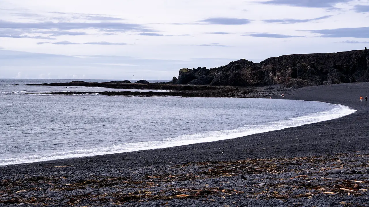
Looking across the black shore of Djúpalónssandur.
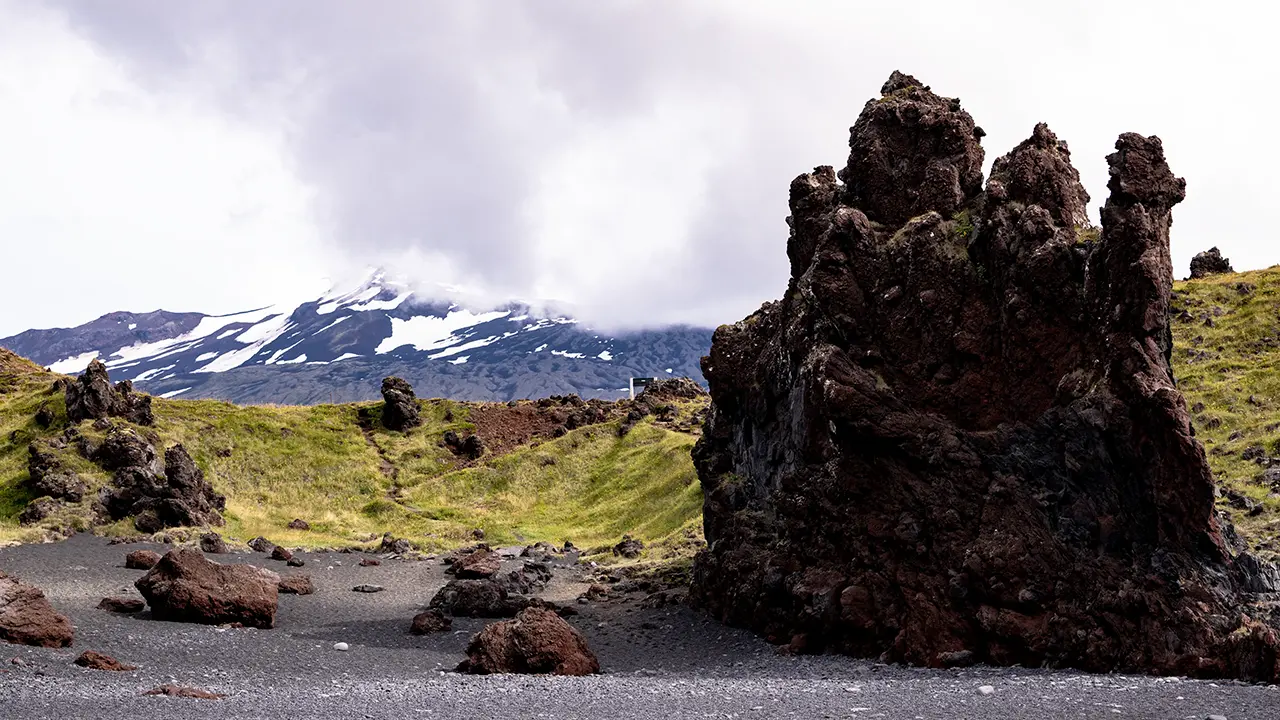
Looking back from the beach.
Spot the car park sign!
Spot the car park sign!
We only stayed at this beach for about fifteen minutes. There were no particularly muscular types in our tour group, and nobody tried the lifting stones. Perhaps that was why we left so soon. Just a guess.
After this, we headed to the northern coast of the Snæfellsnes Peninsula.
Whale Watching from Ólafsvík
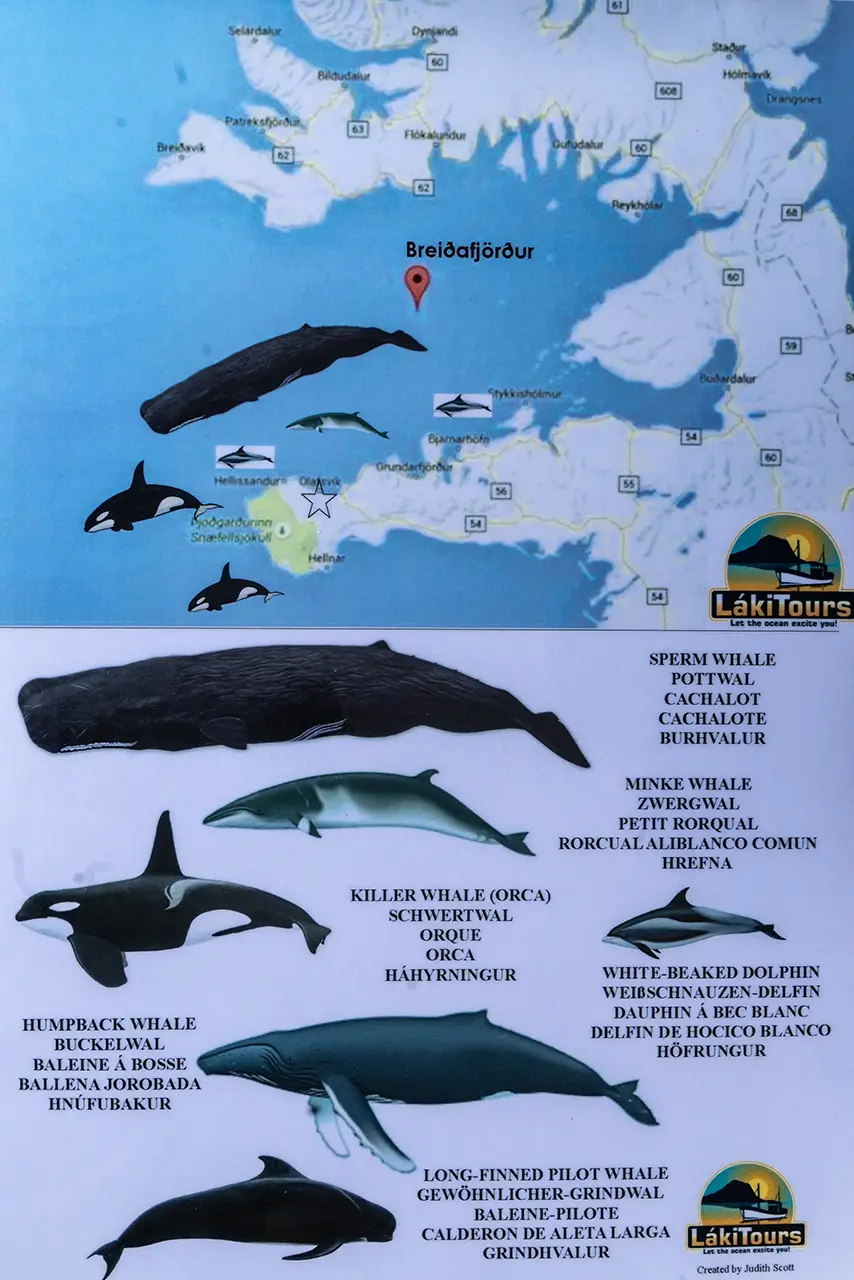
Next came a whale-watching cruise. We left Ólafsvík harbor and sailed into Breiðafjörður, which lies to the north of the Snæfellsnes Peninsula. It has fjord in its name, but is really a large bay. This was a separate excursion run by a company called Láki Tours. From the briefing and information board, it sounded as though a variety of whales and dolphins could be seen here, including minke whales, humpbacks, pilot whales and white-beaked dolphins.
In the end, though, we saw just one whale, apparently a humpback. I could not really tell myself, but that was what the announcement on board said, so I suppose it was. Just one was a little disappointing, but this was not an aquarium. Nothing to be done about that.
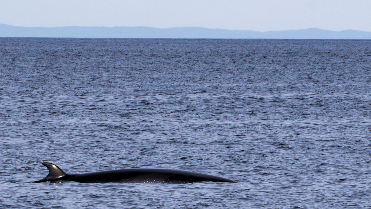
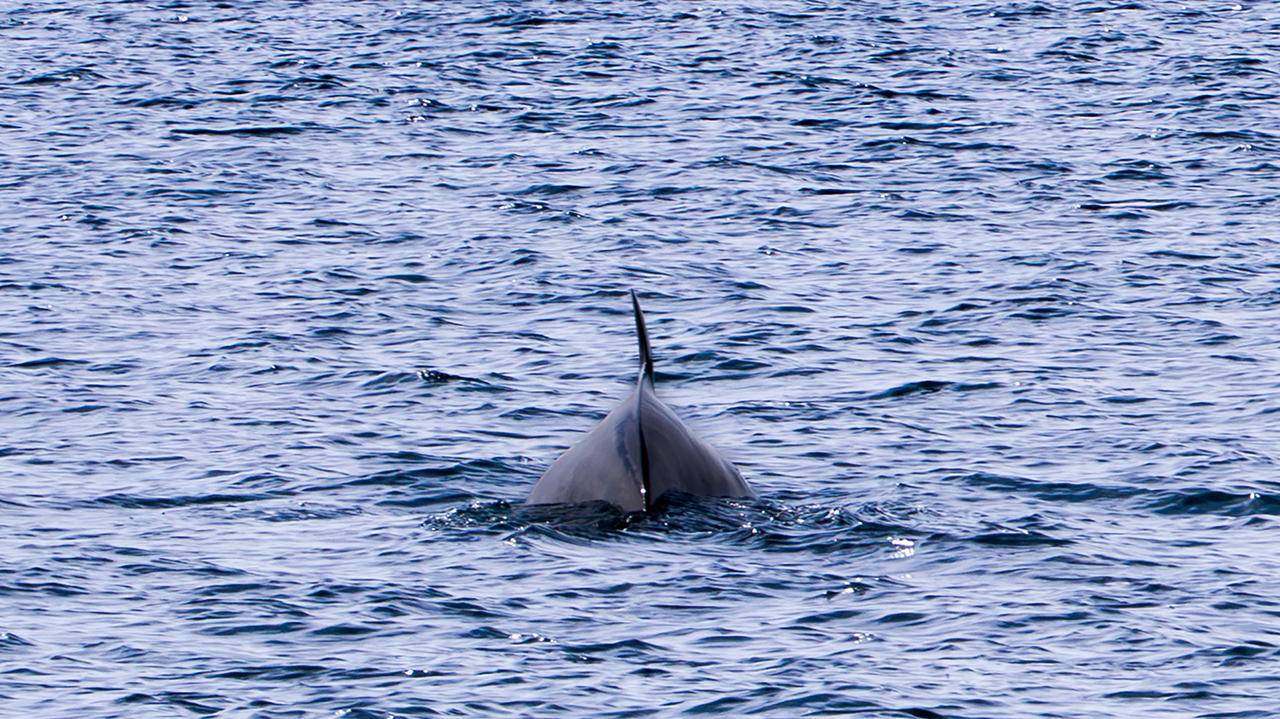
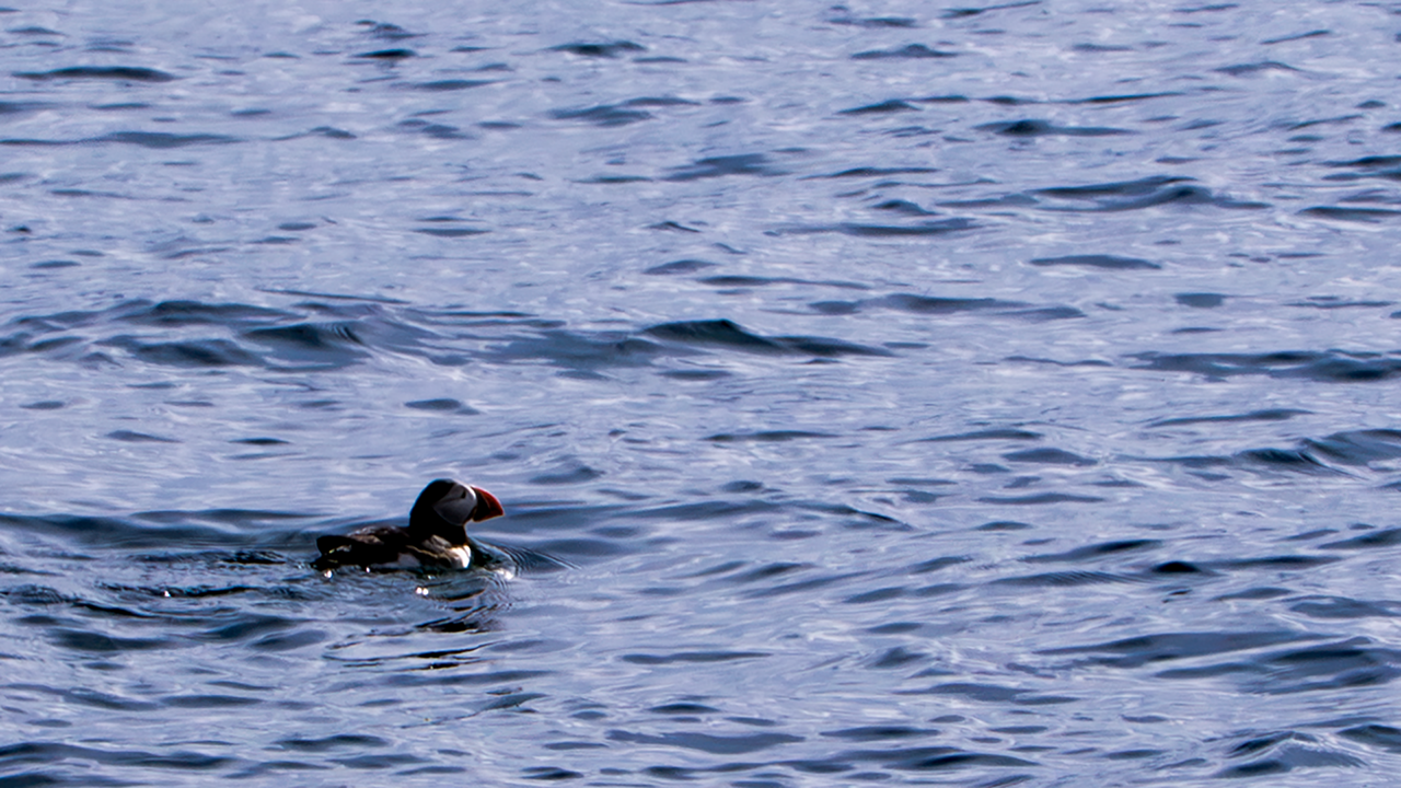
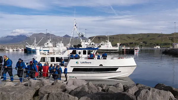
Not quite a substitute, but there was a lone puffin bobbing on the water. I tend to picture puffins in groups, so one on its own caught my eye in an odd way.
This was the boat we went out on. Everyone is looking down as they get off, which makes them look a little disappointed. Well, they were probably just watching their step.
Kirkjufell
For a photograph here, surely it has to be this classic angle. This is the photograph at the beginning of this travelogue.
For the first photograph below, I hoped the pool downstream of the falls would be more mirror-like, but ripples made it a disappointment. The second shows the water below the falls and the fjord beyond. From that position it had looked quite reflective. The third was taken from the whale-watching boat earlier. A change of angle certainly changes the mountain's appearance.
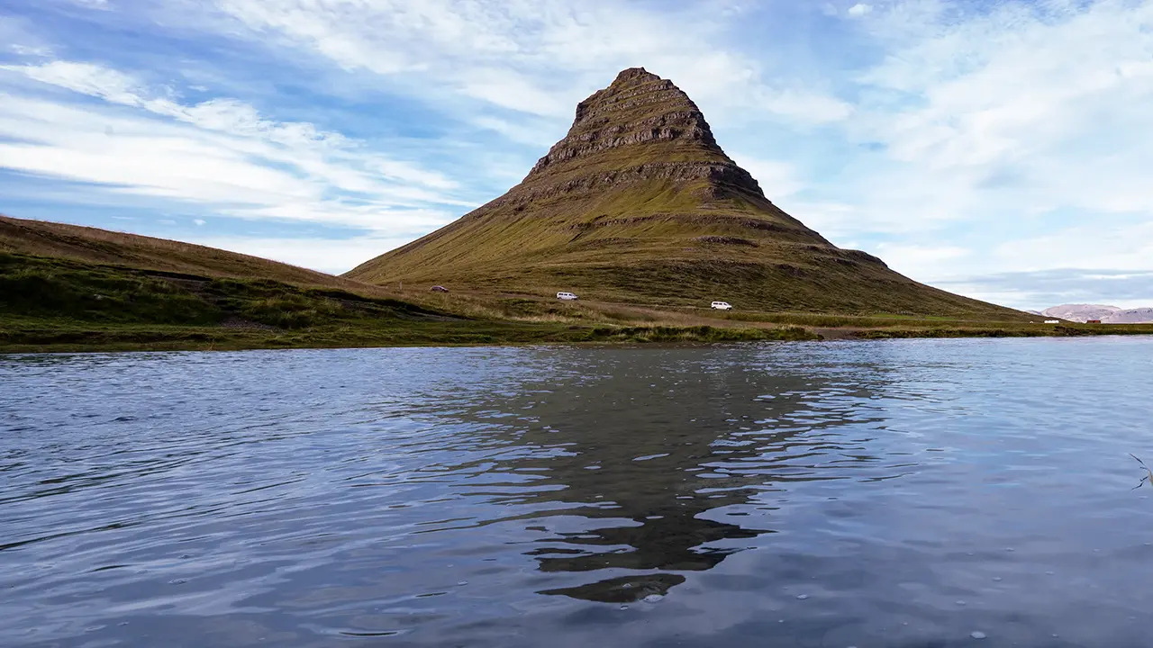
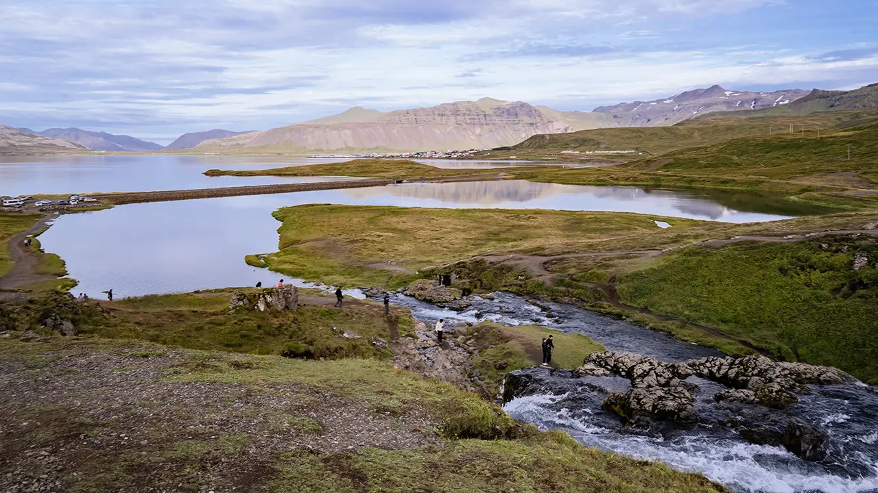
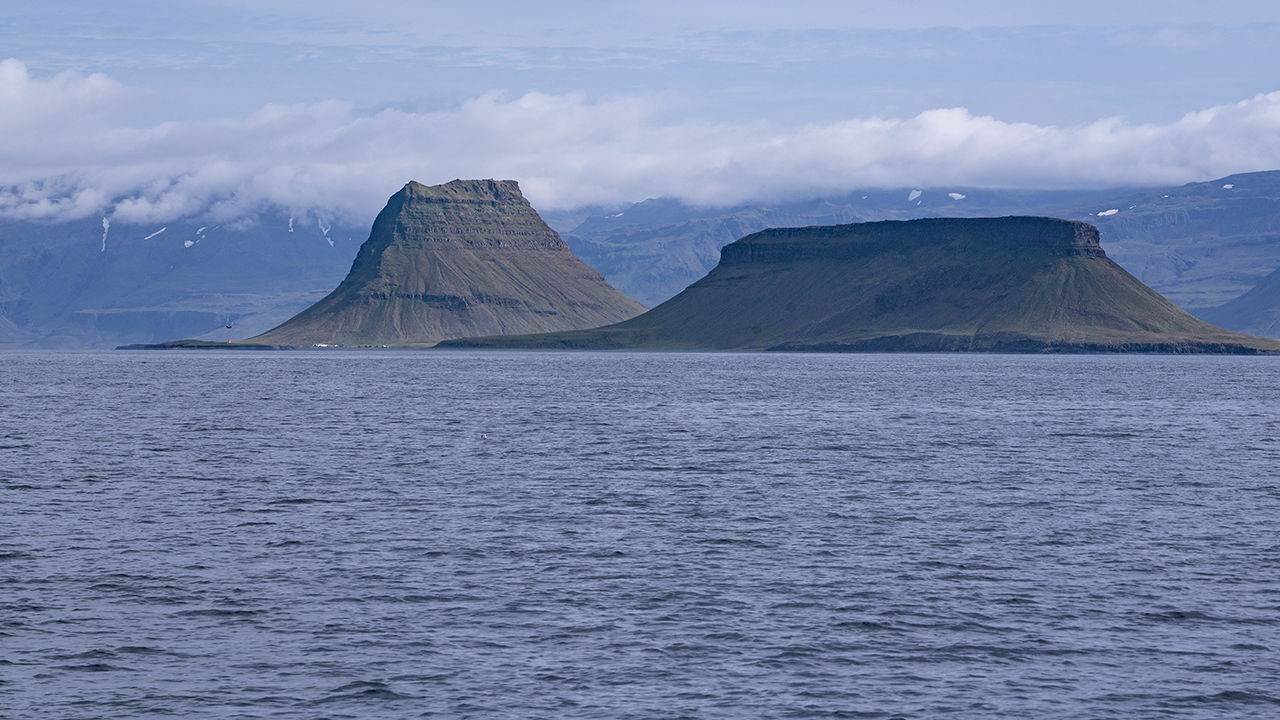
Kirkjufell combines the Icelandic kirkju and fell: "church" and "mountain." When we arrived at the car park, our guide said, "Let's go to the church!" One woman replied, "Where is the church? I'd like to pray." He immediately laughed and explained that the mountain was the church. Listening beside them, I smiled too. He had hardly ever translated a place name into English before, so I knew he had done it deliberately. The name apparently comes from the mountain's resemblance to a church or church tower. These days, many people may know it as "the mountain like an arrowhead," as it was used as a location for Game of Thrones. As an aside, I have not watched the television series, but I enjoyed the original novels, A Song of Ice and Fire, so I understand the atmosphere. The novels remain unfinished, leaving me torn between anticipation and worry over whether I will live to read the ending.
The mountain apparently consists of layers deposited through volcanic activity, later eroded around their edges by glaciers to leave this isolated peak. Once again, it is a characteristically Icelandic landform: volcanic terrain sculpted by ice.
I left hoping to photograph this scene with the northern lights behind it one day.
Selvallavatn
It was already past 7 p.m. when we left Kirkjufell, but the day's journey continued. Our next stop was the shark museum at Bjarnarhöfn, where visitors could taste traditional Icelandic shark with strong local spirits. Unfortunately, I cannot drink alcohol. Watching others drink when I would like to join them is a kind of purgatory. I waited outside, where there was nothing much to see.
We made one more stop, at Selvallavatn View Point. By the time we arrived it was 8 p.m., and evening colors were appearing. There is a waterfall, Selvallafoss, nearby, but I wondered whether our guide had also brought us here for the beautiful evening light.
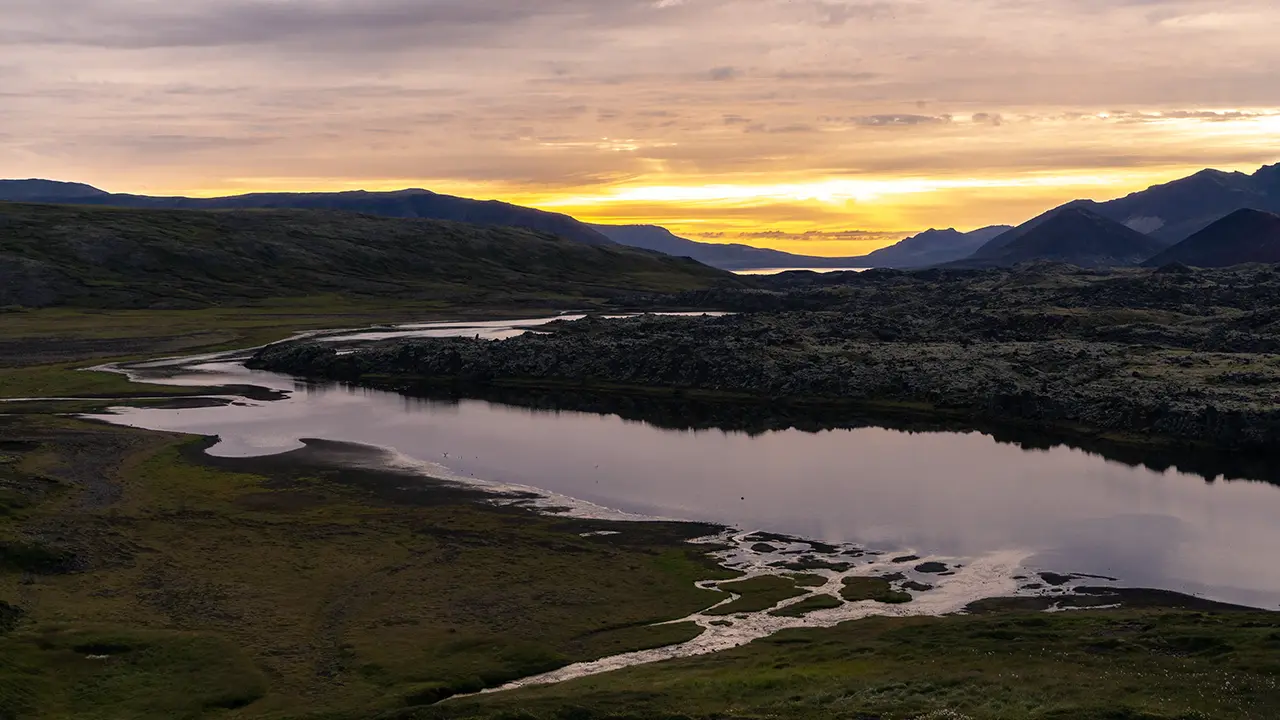
A lovely view of a river entering a long, river-like lake
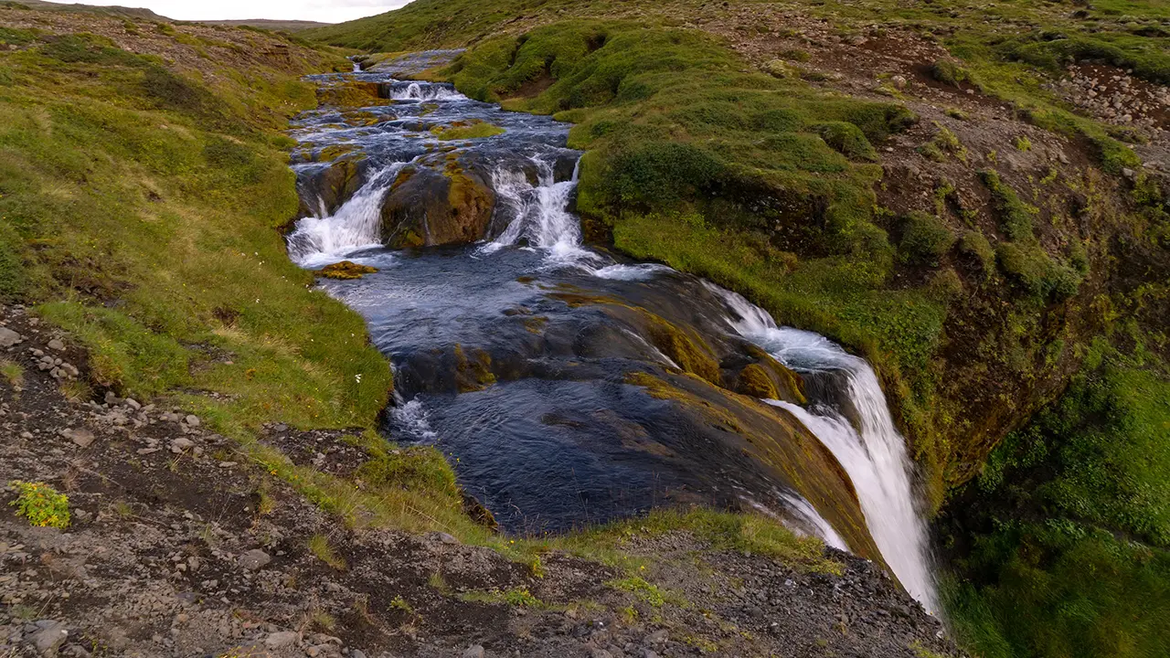
Selvallafoss
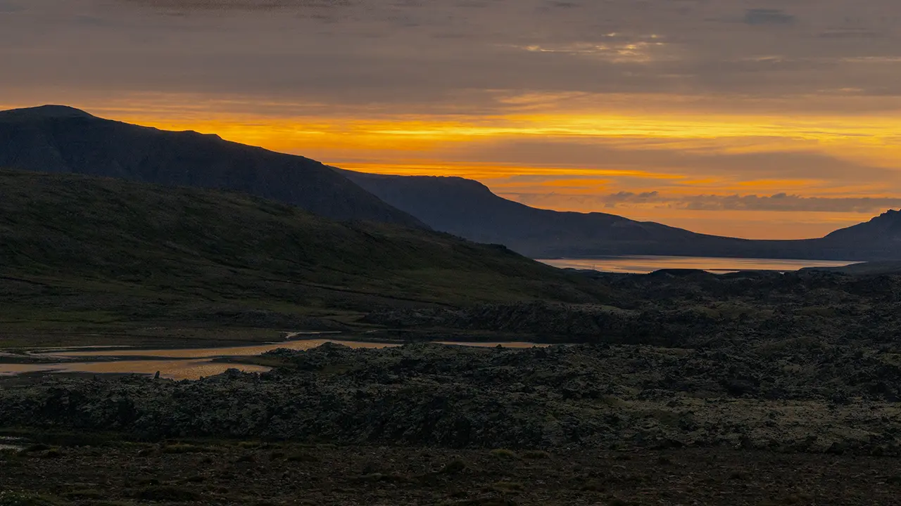
The water began to take on color.
We stayed only about twenty minutes, but it grew noticeably darker during that time. Sunset was still around an hour away; perhaps the surrounding mountains brought the evening on earlier.
Leaving this viewpoint, we headed for our accommodation, enjoying evening light all the way. The photograph below was taken just after the Ring Road tunnel on the way from the Akranes Peninsula towards Reykjavík. Against the sunset, the tip of Akranes forms a black silhouette on the right. The second image was taken when I thought the colors were at their best. There are no mountains or sea in it, but roadside trees on the outskirts of Reykjavík give the sky an accent.
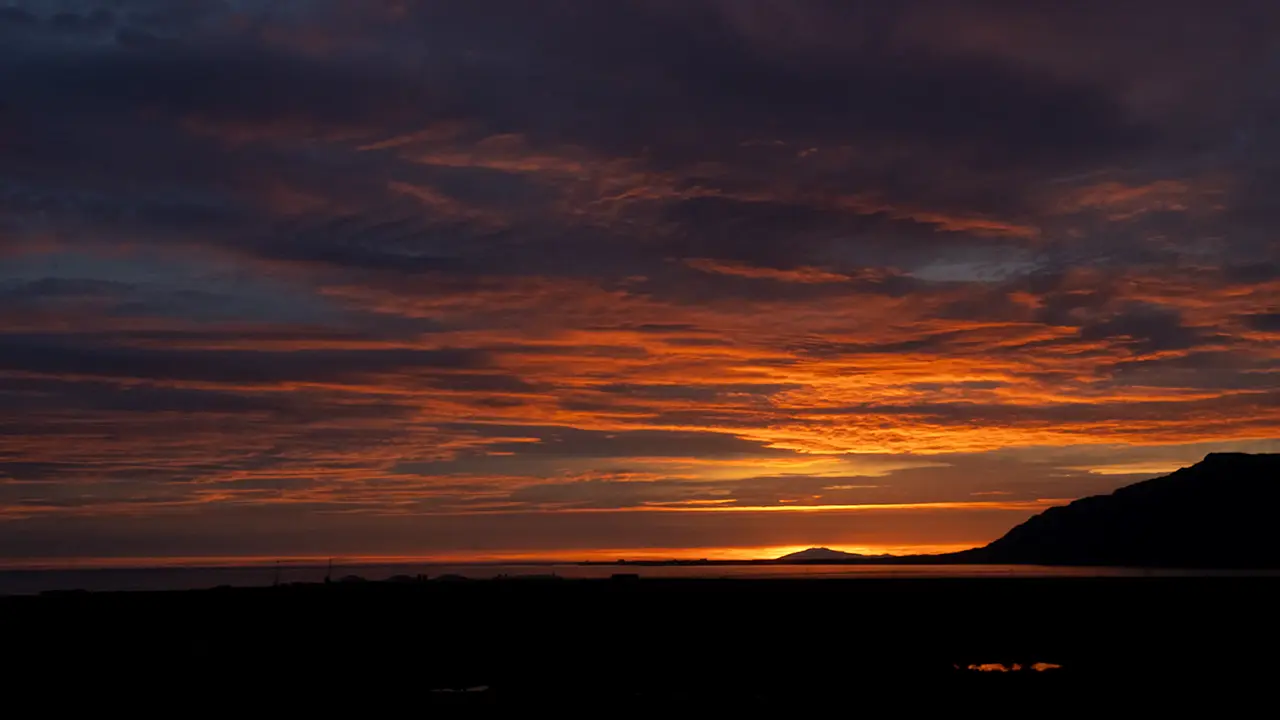
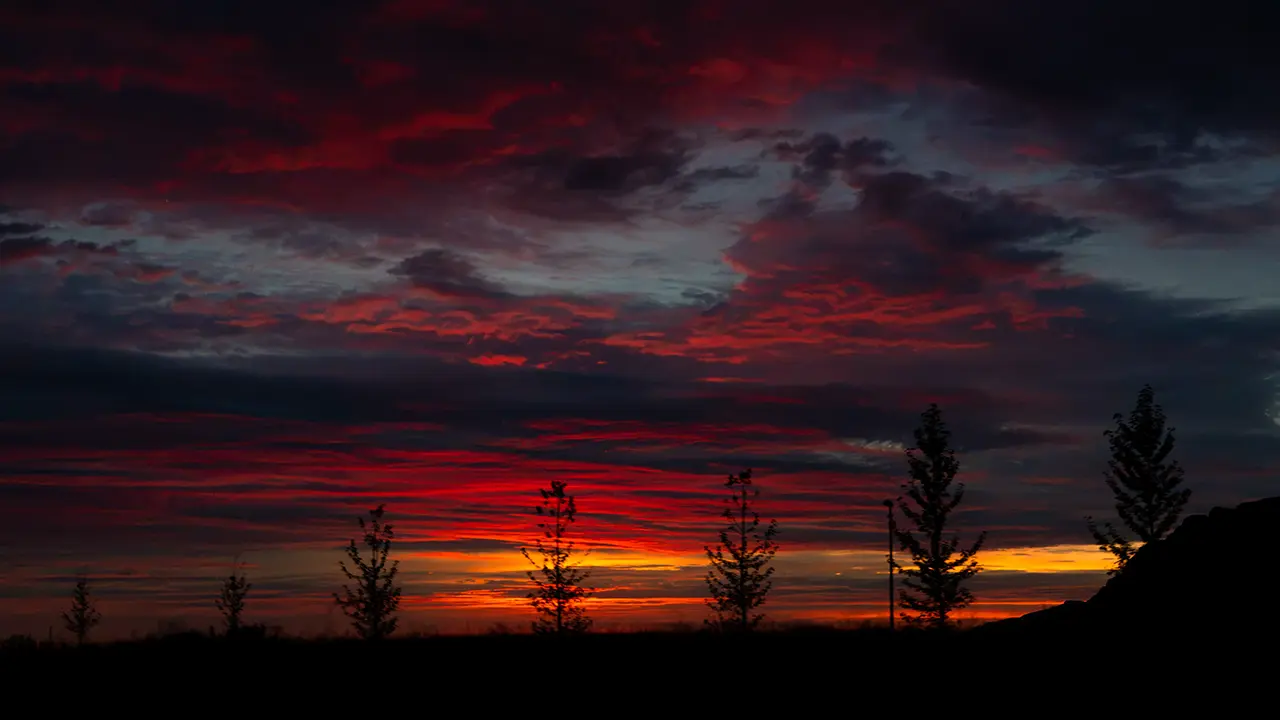
The third photograph caught the last glow above the sea. Sunset had already passed; it was about 10:30 p.m. We reached our accommodation soon afterwards. By then it was so dark that I could barely make out the surroundings.
The Final Day of the Tour
I woke at about 5:30 the next morning. Perhaps I was excited at the thought of the last day of the tour. It was already getting light outside, so I decided to go out and take some photographs.
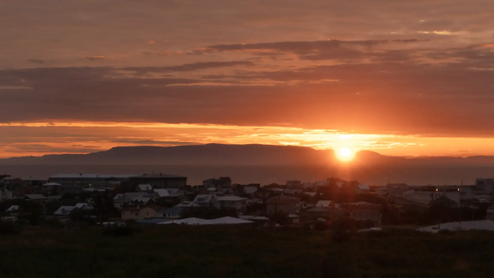
Sunrise. There was something to be said for getting up early—it was a lovely morning to be out with the camera. But as I put this travelogue together, a question occurred to me: where exactly was this? I had been told we would be staying near Reykjavík.
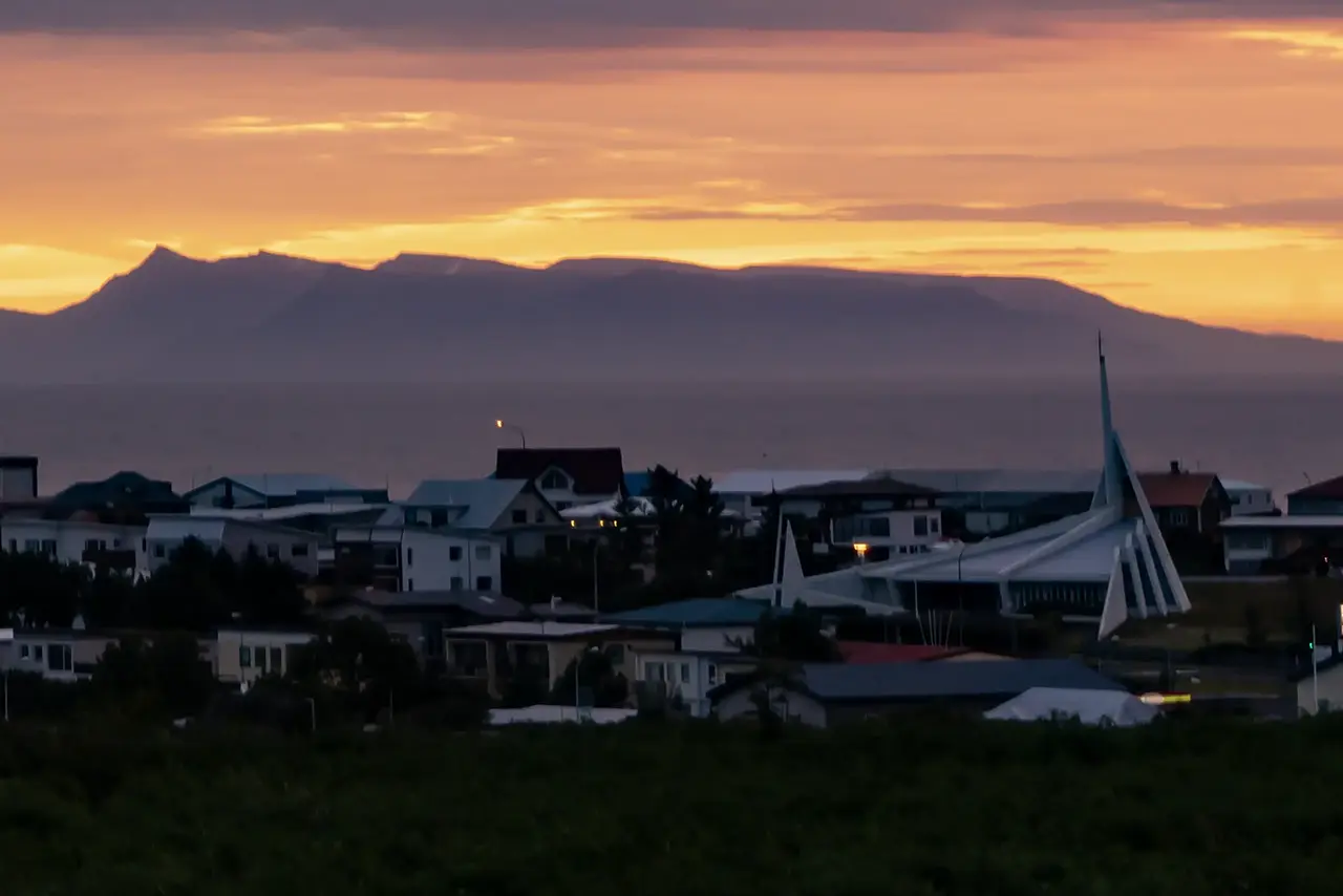
One photograph, taken a little to the north of the sunrise, showed a distinctive building. Looking it up, I found that it was Ytri-Njarðvíkurkirkja church. That made the water Faxaflói Bay, and the distinctive mountains beyond it were probably Esja, which we had also seen from Reykjavík. Perhaps the mountains behind the sunrise were over towards Akranes, then.
So we must have been staying in Keflavík, where the airport is, or in neighboring Njarðvík. I could not pin down the name of the accommodation. And there I was, ten years after the trip, still thinking we had stayed in Reykjavík…
That day, we explored the tip of the Reykjanes Peninsula, which is also home to Keflavík.
The Reykjanes Peninsula
Source: Wikipedia
It is worth looking at this diagram again. The Reykjanes Peninsula is a volcanically active area. As I mentioned earlier, fissure eruptions have been occurring on and off in recent years around the Sundhnúksgígar crater row, not far from the Blue Lagoon. Another eruption in July 2025 sent out large amounts of lava. That gives some idea of the sort of place this is.
Information about the eruption areas is available on visitreykjanes.is, which is updated as necessary.
Our first stop that day was the Blue Lagoon.
The Blue Lagoon
The Blue Lagoon turns up in almost every guide to Iceland. It was just as I had pictured it: a pale blue lake with steam rising from it, a large complex of facilities, and people in swimsuits enjoying the warm water. It was certainly busy and lively. We did not go in, though. I had not gone in on my April visit either. Somehow, I just did not feel like it. It seemed that a few of our tour members had gone in, so I spent the time walking around and taking photographs. The second photograph is from April and shows the surroundings: a lava plateau and moss. By now, these were familiar sights in Iceland. I also took the third photograph in April, looking towards the power station from Route 426. For some reason, that view has stayed with me more than the Blue Lagoon itself.
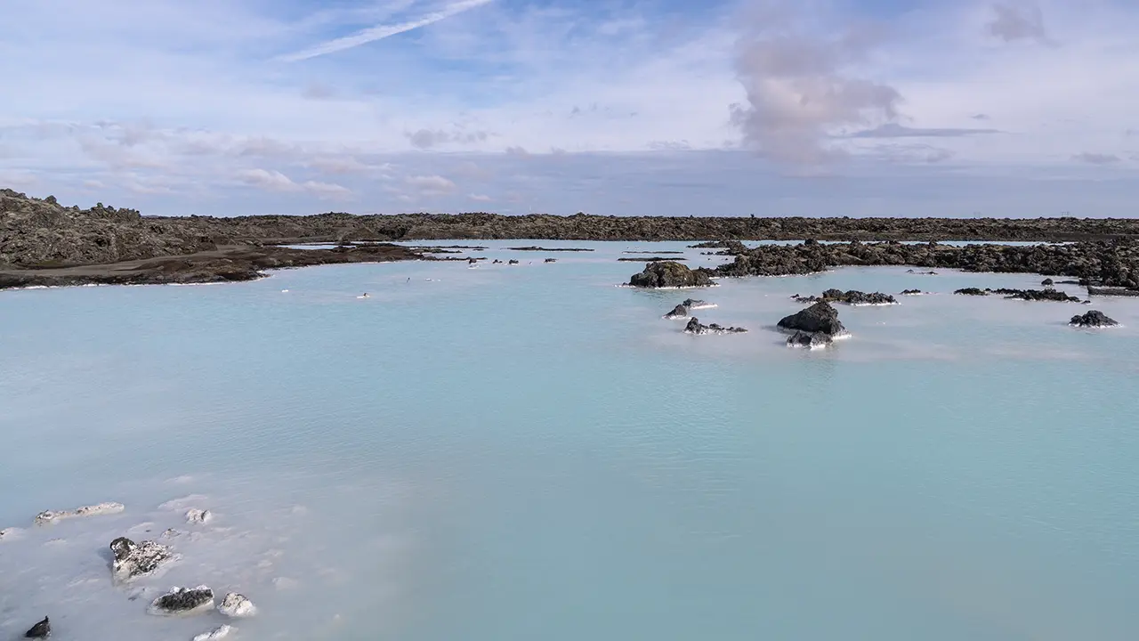
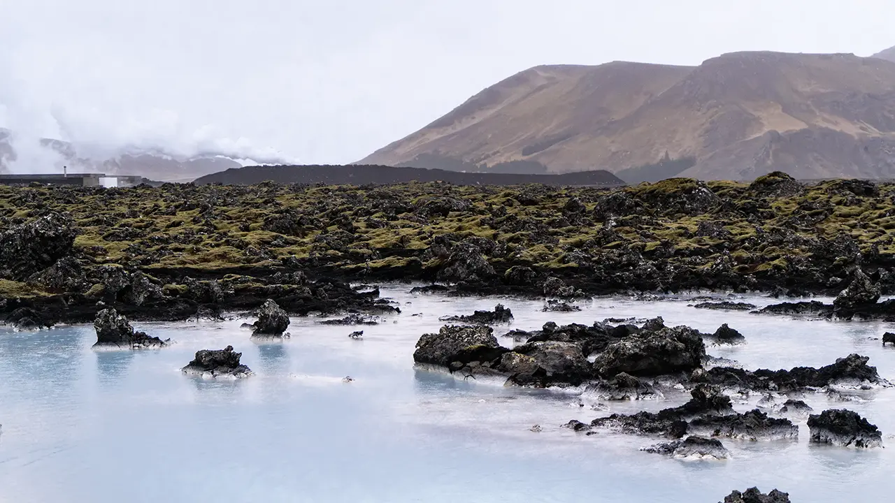
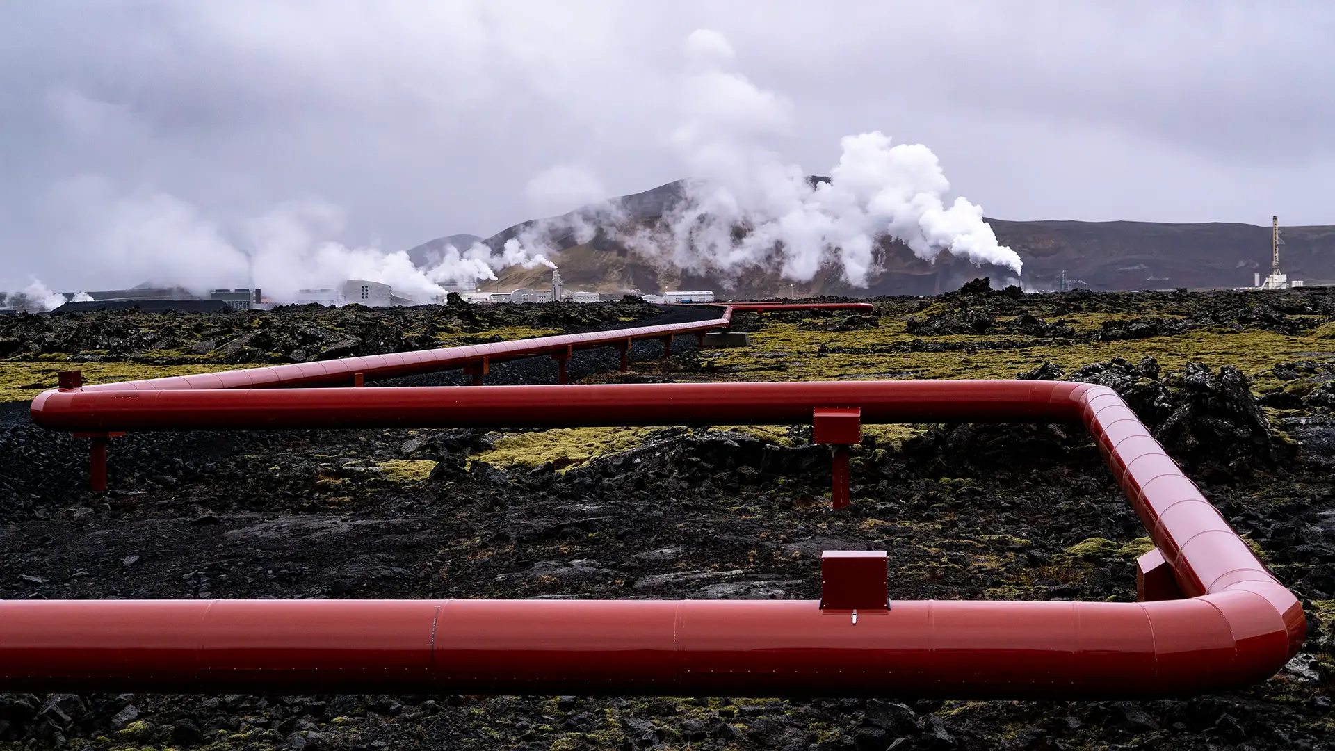
I had imagined the Blue Lagoon as a large lake fed by natural hot springs. Not quite. The neighboring Svartsengi geothermal power station (Orkuver í Svartsengi) draws hot geothermal water from deep underground. In the 1970s, water discharged onto the lava field after use at the plant began to collect there instead of seeping underground. Apparently, the large amount of silica in the water had blocked the gaps in the lava, and that was how the Blue Lagoon began. So there was no natural hot-spring lake here waiting to be warmed by water from the power station. The lagoon itself was created by the discharged geothermal water. The water, though, is natural: seawater and freshwater mix about 2,000 meters underground and are heated by geothermal energy. The white mud-like material is silica that has come out of the water. Natural or artificial? It is hard to say quite where this place fits. Perhaps that was part of the reason I did not feel like saying, "A hot spring—let’s give it a try!" As though I were guessing at someone else’s reasons rather than my own.
As I mentioned earlier, repeated eruptions and lava flows in recent years have had a major impact here, with roads closed and protective barriers built. Even the scenery around the lagoon may look different next time I visit.
Once everyone who had gone for a soak was back on the bus, we set off towards the southern end of the peninsula.
Valahnúkamöl
When we reached the area around the western tip of the peninsula, our first stop was the shore at Valahnúkamöl. Large rounded boulders were piled up facing the sea, to a height of about ten meters. Apparently, the powerful Atlantic waves had worn down the rocks, carried them here and built up this huge bank. Nearby, Valahnúkur had high sea cliffs, with rock towers left standing offshore as the sea wore away the land around them. I found myself thinking about the waves: eating away at the cliffs in one place, perhaps, while rounding off the broken rocks and piling them up in another.
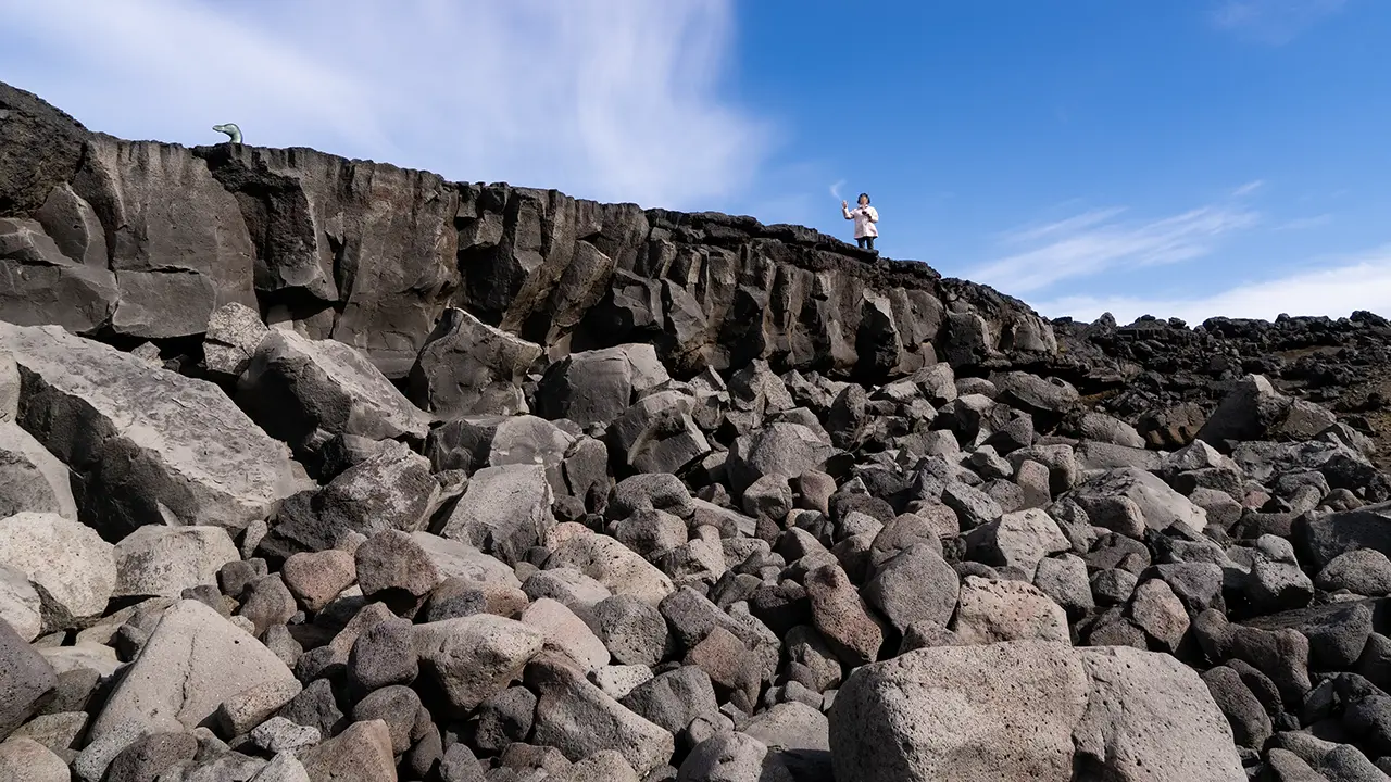
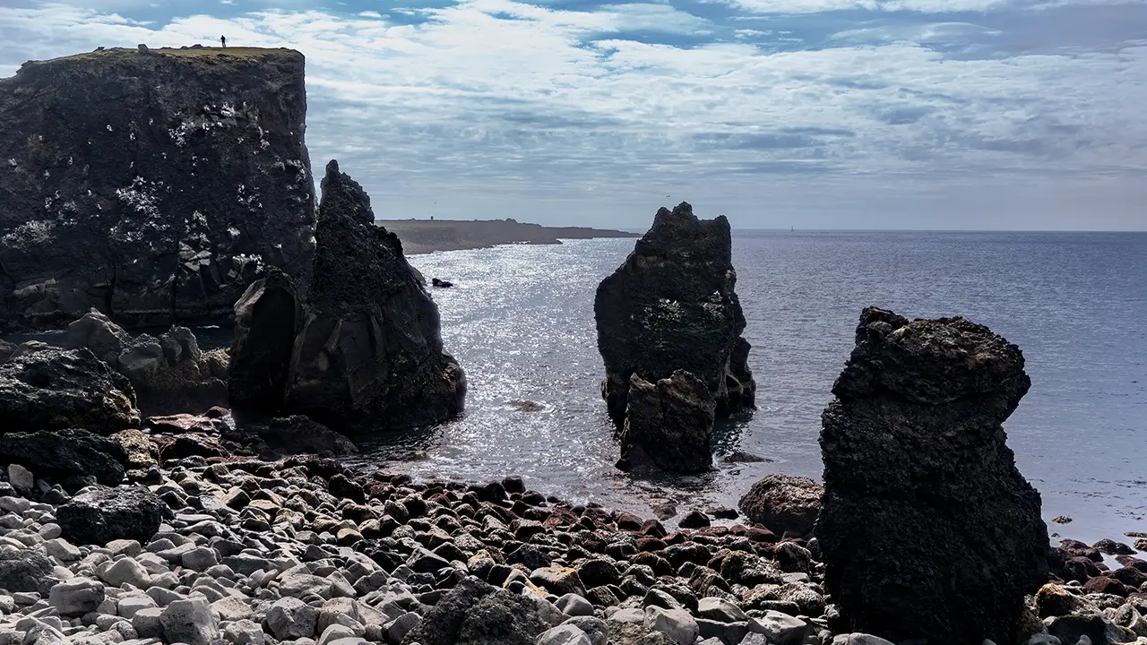
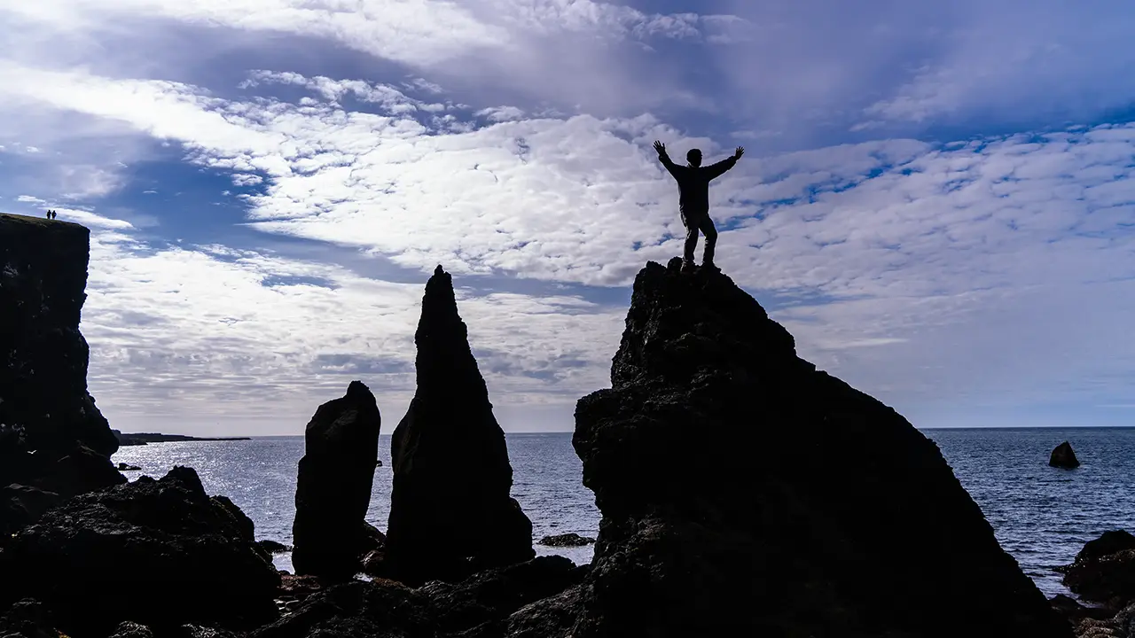
In the first photograph, looking up at Valahnúkamöl, there is something like a penguin’s head at the upper left. It is a bronze statue of the great auk (Pinguinus impennis), which became extinct in the 19th century. This was a large flightless seabird that lived in the North Atlantic. Apparently, "penguin" was originally a name for this bird.
I remembered a photograph an acquaintance of mine, a photographer, had taken of a climber on a sharp peak in the Alps, and asked to have this one taken. Not my finest pose—I look as though my knees have gone weak. The rock was not all that high, but with the right angle I was supposed to look as though I were standing confidently on top of some towering pinnacle…
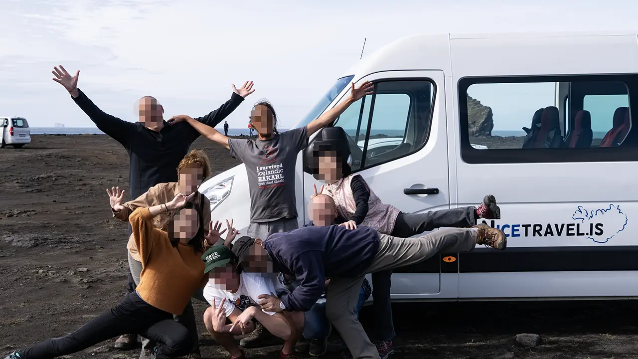
Back at the car park, with the tour nearly over, we all got together for a photograph. An American family, a Chinese woman traveling on her own, my wife and me, our Spanish guide and our Polish driver—eight of us in all. Even the "Nicetravel.is" logo on the Mercedes minivan made it into the frame. A nice keepsake of the tour.
Gunnuhver
The last place we visited on our August trip was a little patch of hell, about five minutes from Valahnúkamöl.
This was the Gunnuhver geothermal area. A wooden boardwalk took us close to a spot where steam was roaring out with tremendous force. Apparently, it came from a mud pool about 20 meters across, but the steam hid the pool itself.
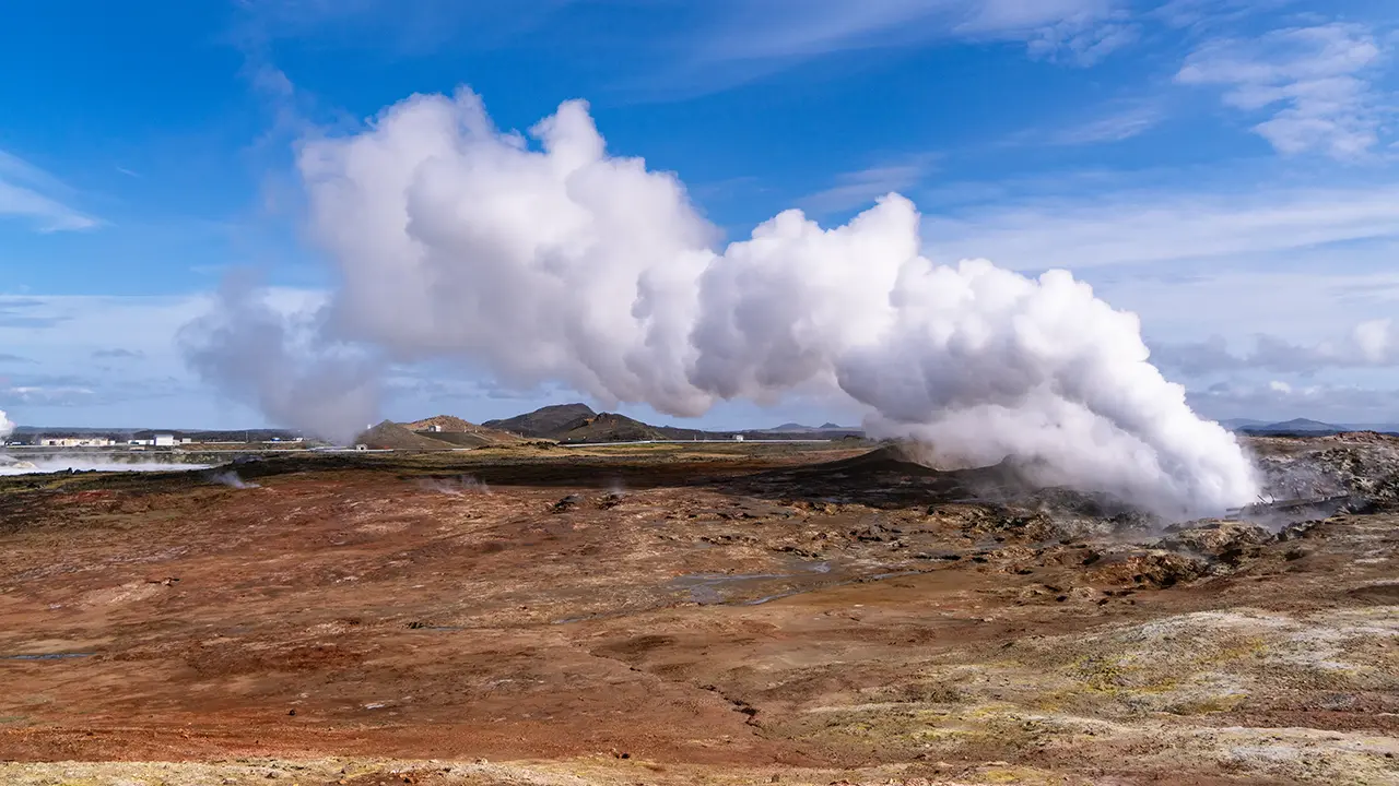
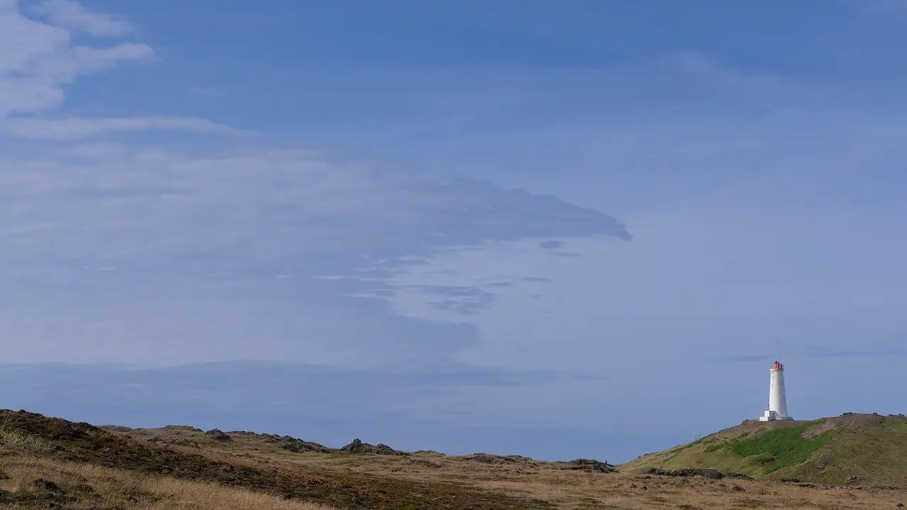
Near the sea, with a lighthouse in view.
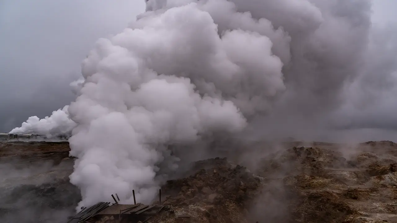
It seemed more dramatic in April.
In the background of the first photograph is the Reykjanes geothermal power station, Reykjanesvirkjun. Apparently, it generates electricity using geothermal fluid drawn from about 2,700 meters underground, at temperatures of 290–320°C. Its cooling system is said to use around 4,000 liters of seawater every second to cool the steam after it has been used to generate power. Seawater cooling reminded me of accounts I had heard about the difficulties with seawater cooling at Fukushima Daiichi around the time of the hydrogen explosions. The method here would be different, though. Presumably it is part of the plant’s cooling system. A bit of a digression…
The Ring Road tour was due to end back in Reykjavík. We had booked a hotel near Keflavík Airport, though, which was on the way. Our guide said he would drop us at the airport, and took us there. He looked after us right to the very end. I am truly grateful for all the happy memories he helped us make. Thank you.
April Route Map
I put together this route map of my solo trip in April. Numbers ①–⑤ mark the places where I stayed. Two stretches were not part of the August tour: from Flúðir at ② to the red × marker, and from Selfoss at ⑤ to just before the Blue Lagoon. I have added a selection of the scenes from those routes that stayed with me most.
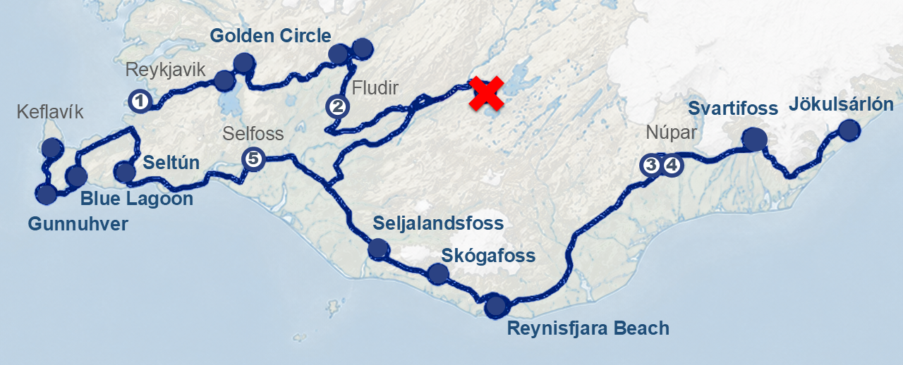
Icelandic Horses (Íslenski hesturinn)
There were chances to spend time with the horses on the tour too, but on my April trip I kept stopping the car and getting out to photograph them whenever I came across them.
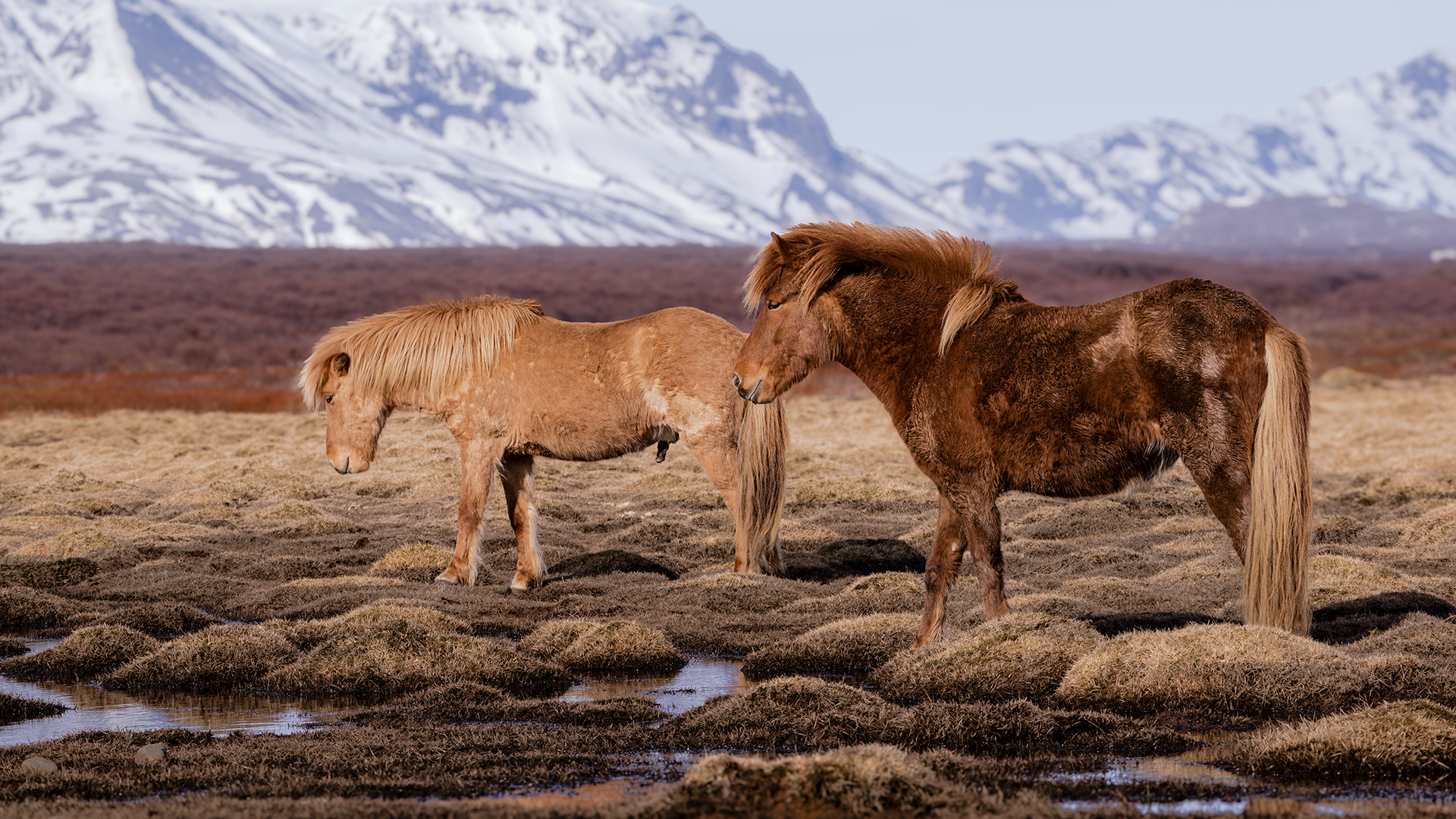
On the first day of my April trip, on the way from Þingvellir to Geysir, I came across horses behind a pasture fence right beside the road. And they were Icelandic horses—the very horses I had read about while planning the trip and had been so keen to see for myself. They were small enough to make me wonder if they were ponies, with long manes and shaggy winter coats. Apparently, they descend from horses brought here in the Viking era and have kept their distinctive traits for over a thousand years, with very little mixing with other breeds. Yet here they were, simply grazing on wet ground beside the road. This was no tourist farm. To me, they were the Icelandic horses I had wanted so much to see; here, they were probably just an everyday sight. As I took my time photographing them, another car pulled over and people got out. Someone looking intently at something can make even an ordinary spot seem worth a look. I suspect that was what happened here.
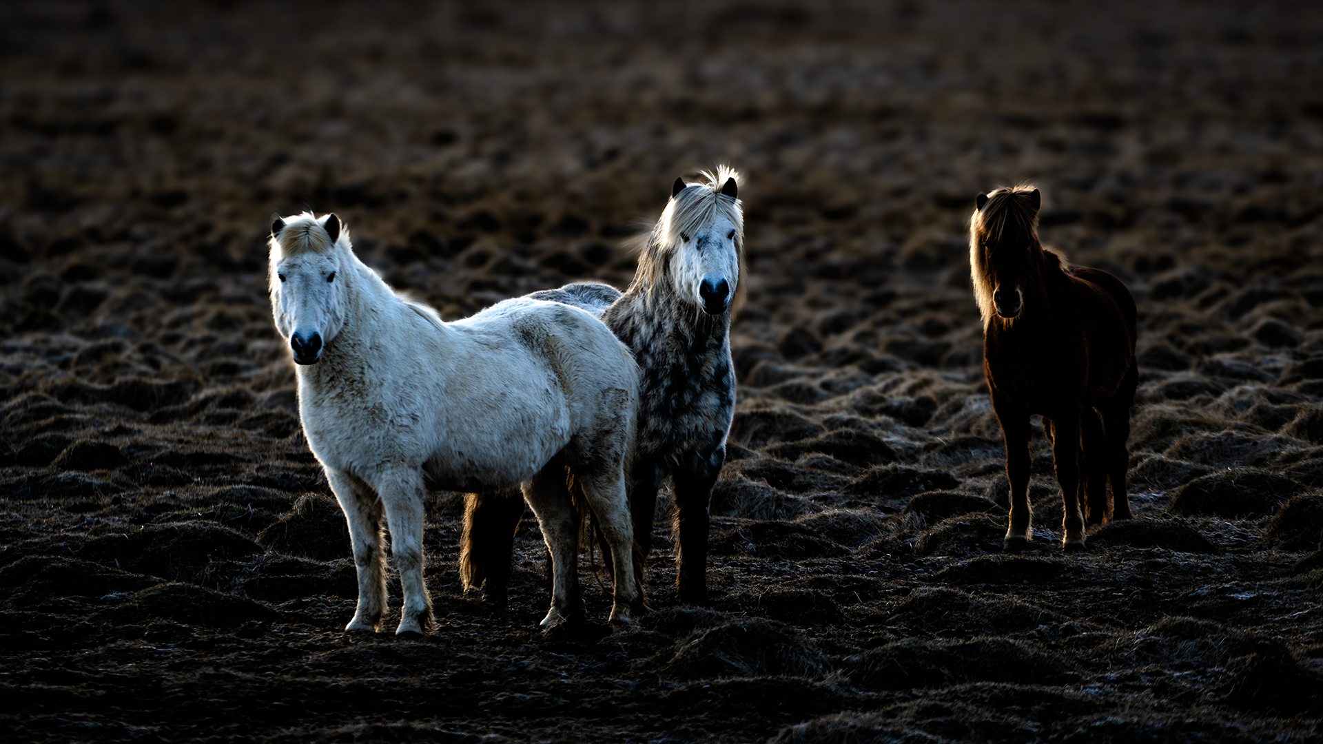
In a pasture near my accommodation in Flúðir. I had left the hotel early, but the sight of horses in the morning sun made me stop and take photographs. There was something almost divine about them.
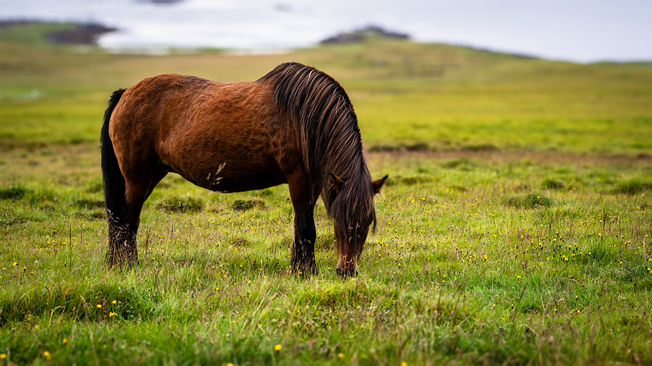
Taken at a farm on the east coast in August. The first two photographs below are from the same place. The horses were used to tourists and let us stroke them.
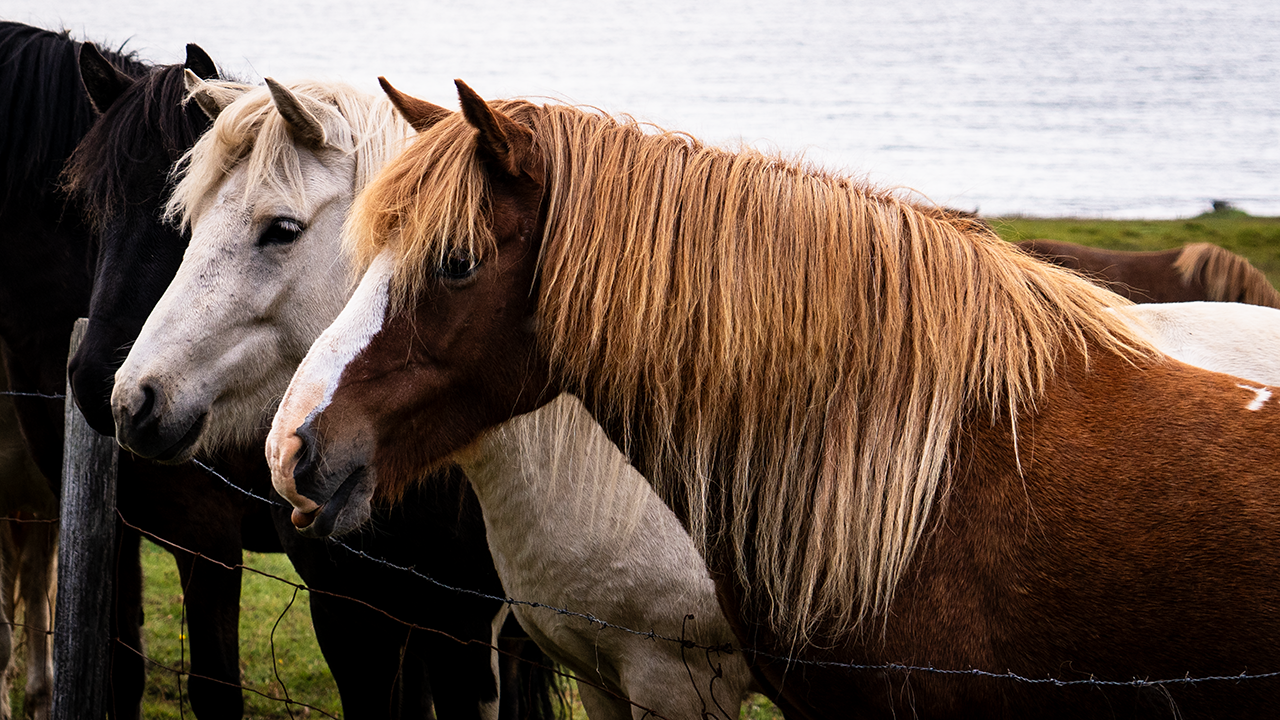
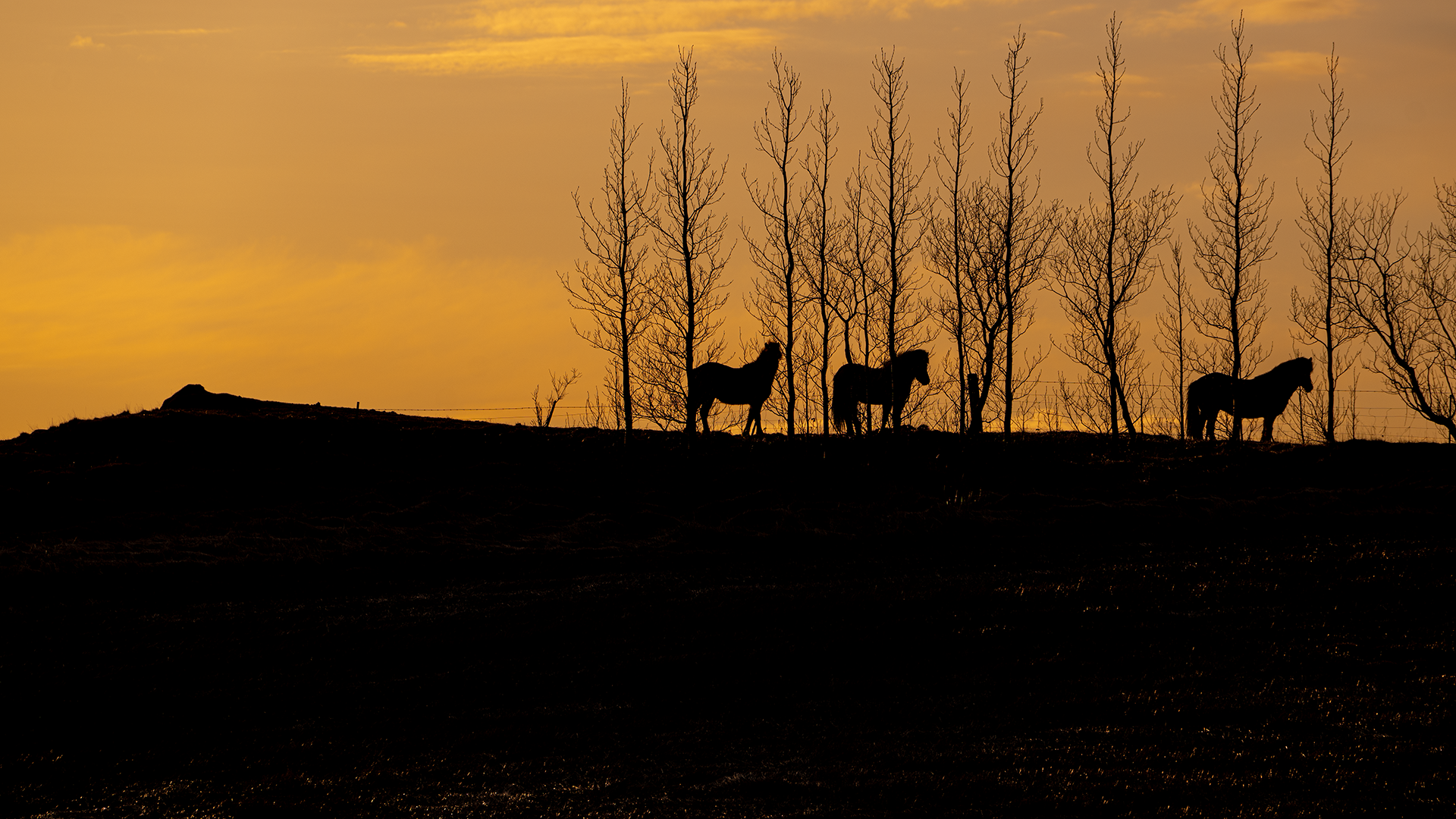
I took the third photograph before reaching Flúðir. The horses were standing on a small rise in a pasture. There was something lovely about their silhouettes.
Across the Highlands to the South Coast
Flúðir
At my accommodation in Flúðir, I arrived in time to enjoy the evening light, then got up early for the dawn. It was called Icelandair Hotel Fludir at the time, but now seems to be The Hill Hotel At Flúðir .
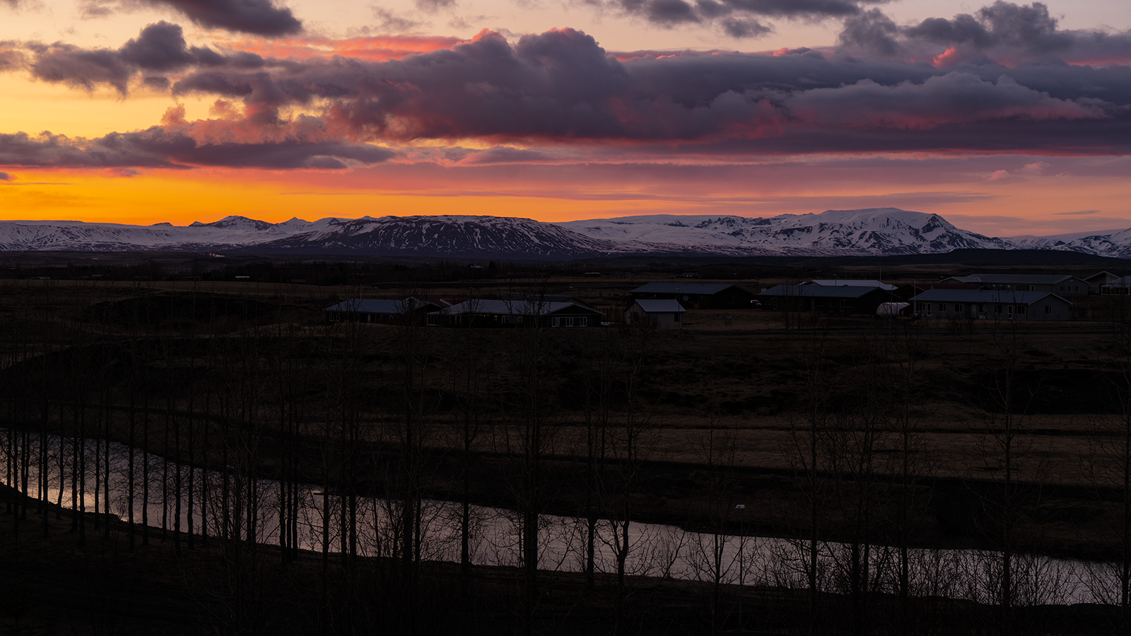
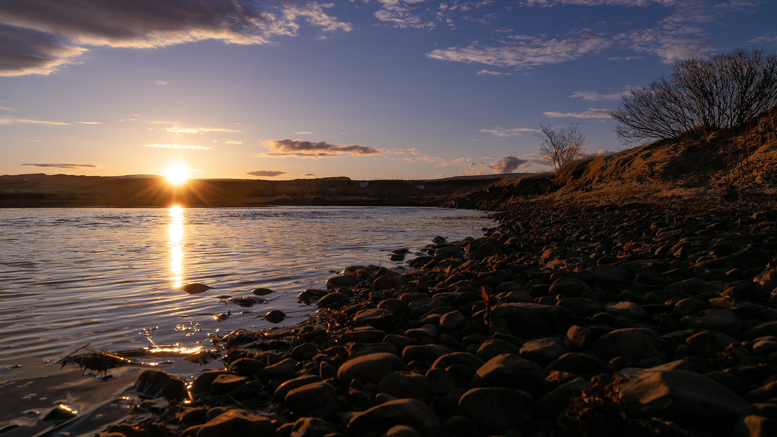
I took the first photograph at sunset from the driveway in front of the hotel. The second shows the river the following morning. I crossed the road and found a way down to the riverbank, so I went to have a look. The bank glowed red, rounded stones lay scattered along the shore, and the partly frozen water glittered. A beautifully crisp morning.
Towards the Highlands
The plan after leaving Flúðir was to take Route 32, join Route 26 heading northeast, then turn south onto Route 208. I would cross the Fjallabak highlands, with their colorful mountains and many other scenic spots, and rejoin the Ring Road west of Kirkjubæjarklaustur. I had wanted to see those colorful mountains ever since I started planning the trip. They were also the reason I had booked the helicopter tour that was canceled on my first day.
Before long, Hekla came into view, lit by the morning sun. It was about 7:30 a.m. I had left early because I expected a long drive that day, and it looked as though that had paid off. The name reminds me of "hell," though the words are unrelated. Ironically, medieval Europeans apparently did fear it as a gateway to hell.
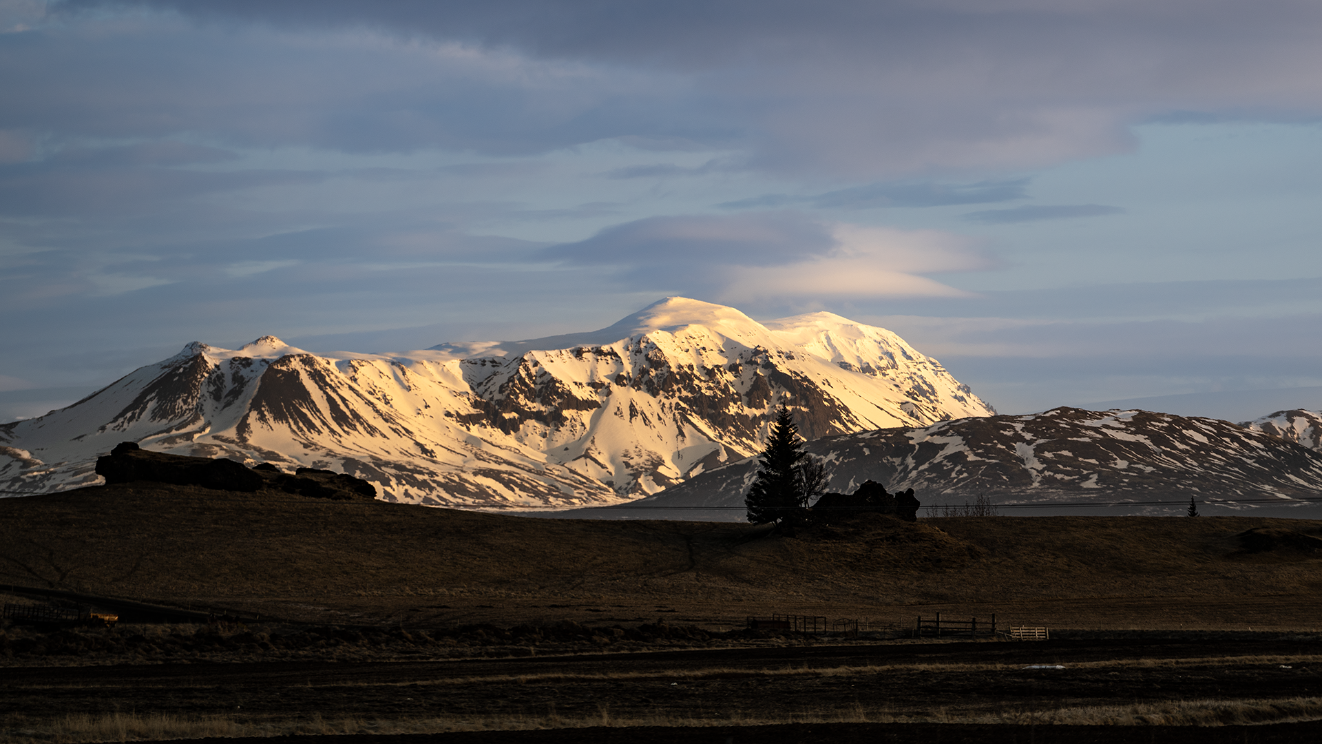
There were many places along Route 32 that I wanted to photograph.
The Þjórsá River ran alongside the road, its water spread across a broad riverbed in several channels. It looked as though it could produce quite a flood. Some of the channels were frozen. April or not, spring still seemed a long way off.
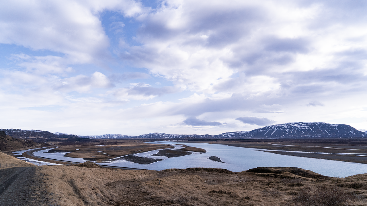
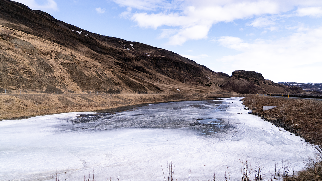
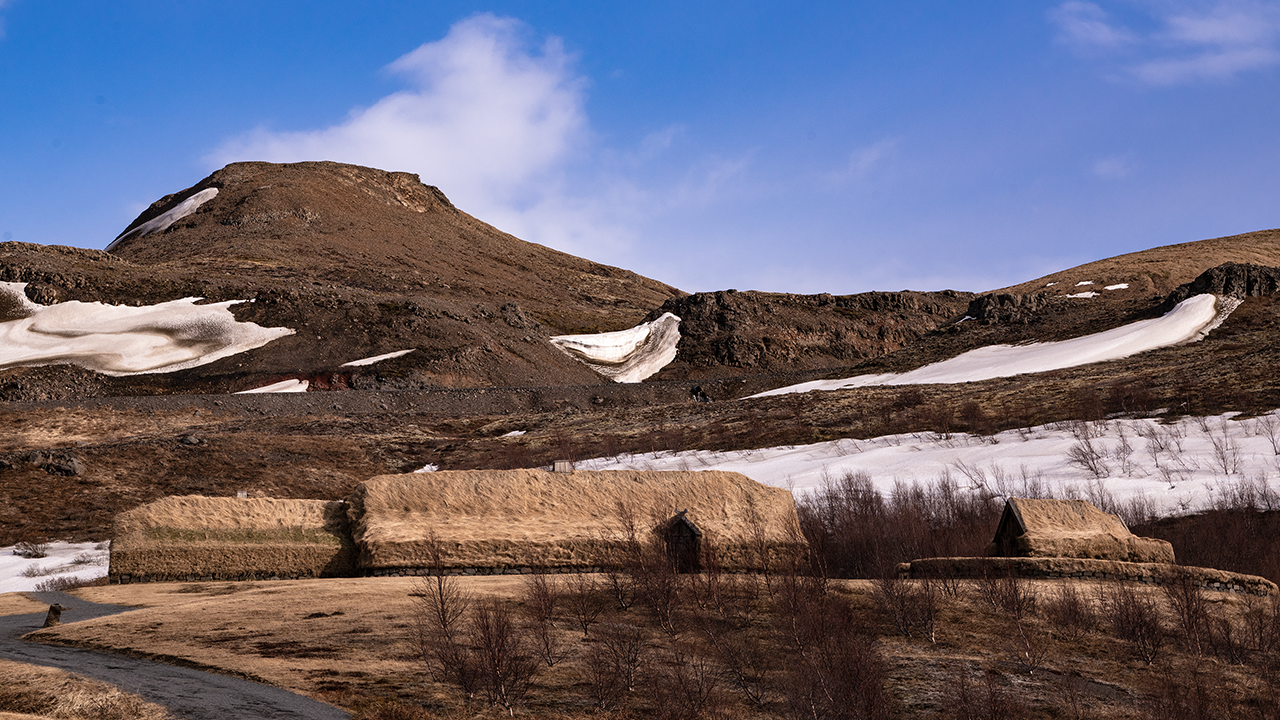
The long turf-covered buildings in the third photograph caught my eye. I had no idea what they were, but took a photograph anyway. Looking them up later, I found that they were apparently Þjóðveldisbærinn, the Commonwealth Farm, a reconstruction based on the farm at Stöng that was buried in ash when Hekla erupted in 1104. So that beautiful mountain I had just seen had done this. Another reminder of how volcanically active Iceland is. The site seems to be a museum, but the entrance gate was closed when I visited, so I took the photograph from outside.
Just after I rejoined Route 32 from the reconstructed farm, I could look down into a valley to the west. Barren volcanic land spread out below, with a sheer cliff at the end of the mountains in the distance. Looking more closely, I noticed countless small bumps in front of it, almost as though someone had pinched bits of cloth and pulled them upwards. Their shapes intrigued me, so I looked them up. They were pseudocraters, or gervigígar, formed by steam explosions when lava flowed into a lake or wetland and met water. Yet another volcanic landform.
The photographs I took around here are not very good quality. Something seems to have gone wrong with the camera or lens settings. This one is particularly grainy; I am not sure whether that had anything to do with shooting with a telephoto lens. Even a small mistake shows up in the photograph. A bit of a shame.
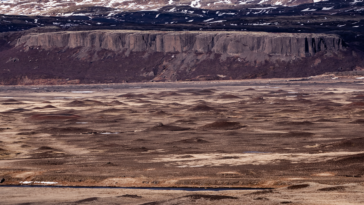
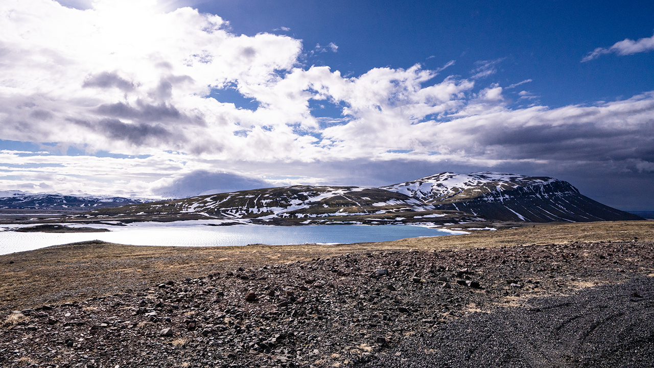
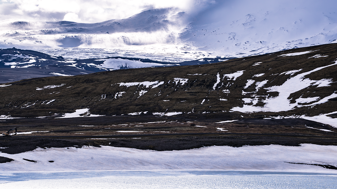
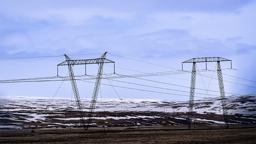
I had been driving with rivers and lakes on my right. The road left the water for a while, and when it came back alongside it, the view had opened out across a much wider stretch of water. Apparently, this was a reservoir built for hydroelectric power. Beside the road were transmission pylons of different shapes and wind turbines. It certainly felt like an area with a lot of renewable-energy facilities. And yet the scenery was spectacular too: blue sky, lake water and mountains still holding snow, all in beautiful contrast.
The third photograph shows the lake, a line of dark mountains beyond it, and a snowy mountain peeping out farther back. Clouds seem to spill down from it like a waterfall. The telephoto view compresses the distances, so I cannot be sure, but I think it is a mountain near Torfajökull glacier, about 30 km away. Whatever the exact location, it was a magnificent sight.
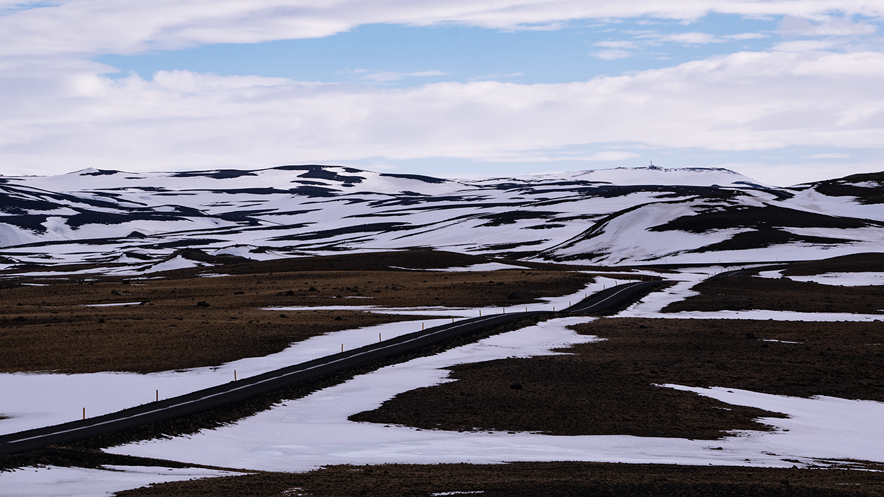
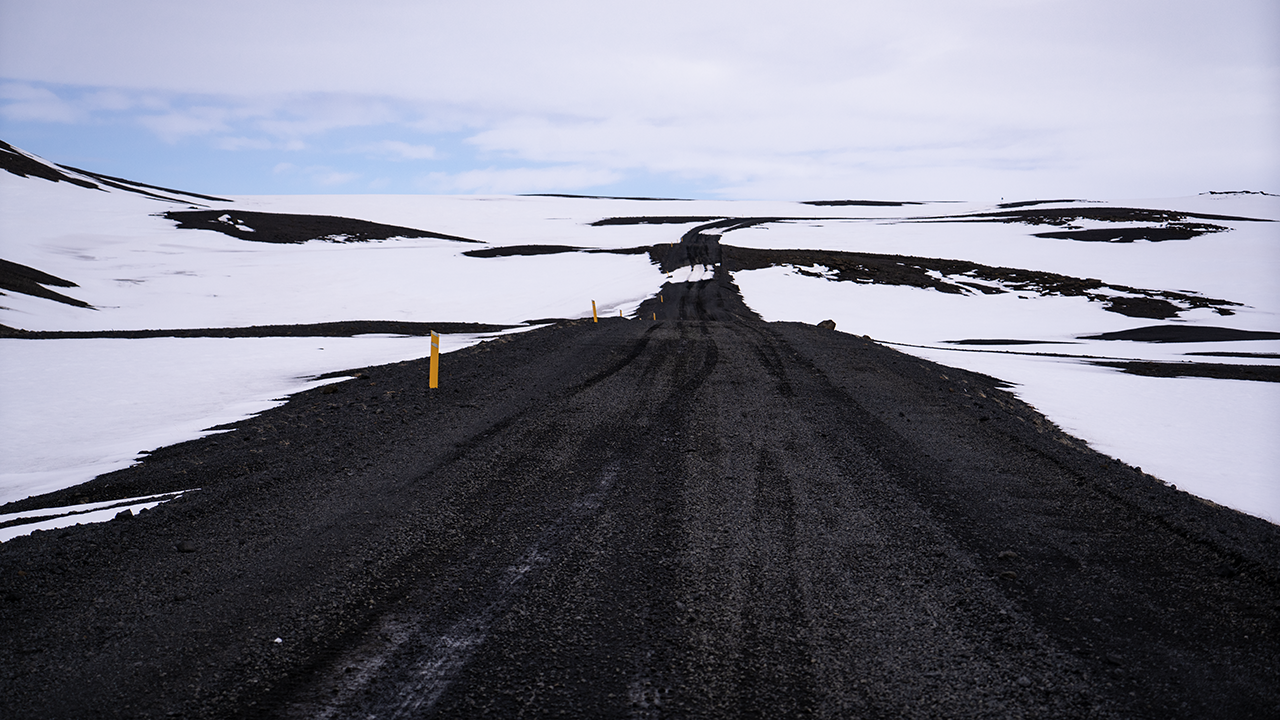
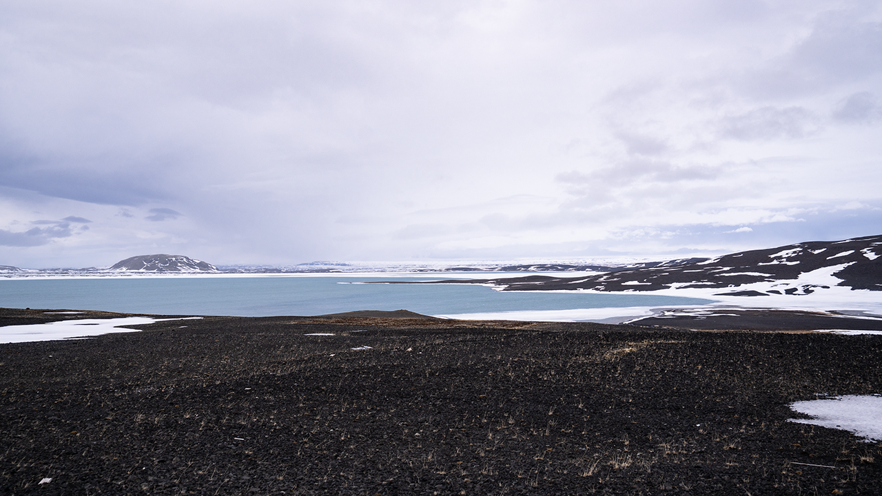
I drove on through wild country where the snow had yet to melt. The road rose and fell over hills and passed close to the water. Eventually the pavement gave way to an unpaved road, with more and more patches of snow still lying on it. The lake in the third photograph is Hrauneyjalón, apparently a reservoir built for power generation.
And then I ran into trouble. The Land Cruiser got stuck, and I could not move it at all. This was at the spot marked × on the route map.
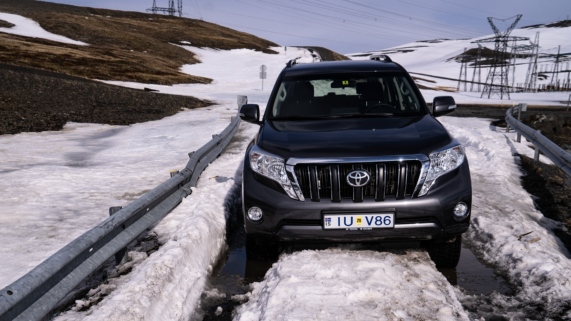
Pushing did no good. I just could not get it out. I was getting anxious, but called 112, the emergency number I had been given when I hired the car. I explained that I was on Route 208, on a bridge beside a lake, with a power station and several power lines in view. They understood where I was. Help would be coming from around Hella and would take more than an hour, so I walked around and had a nap while I waited. Another car turned up, apparently with tourists in it. They helped me push and we tried again, but still no luck. During the phone call, I had learned that the road was closed for winter and had not yet reopened, so I passed that on to them. They said they had not seen a road-closed sign either, and Google Maps was showing the route as open. Honestly…
About an hour and a half later, a hefty rescue truck with huge tires arrived and pulled me out. Needless to say, that was a relief. I also learned that to reach Kirkjubæjarklaustur I would have to go around Hekla. Nearly 300 km, taking about four hours even without stops. It was already past 4 p.m. Roughly a drive from Tokyo to Sendai, and I would need breaks along the way… I was not looking forward to it.
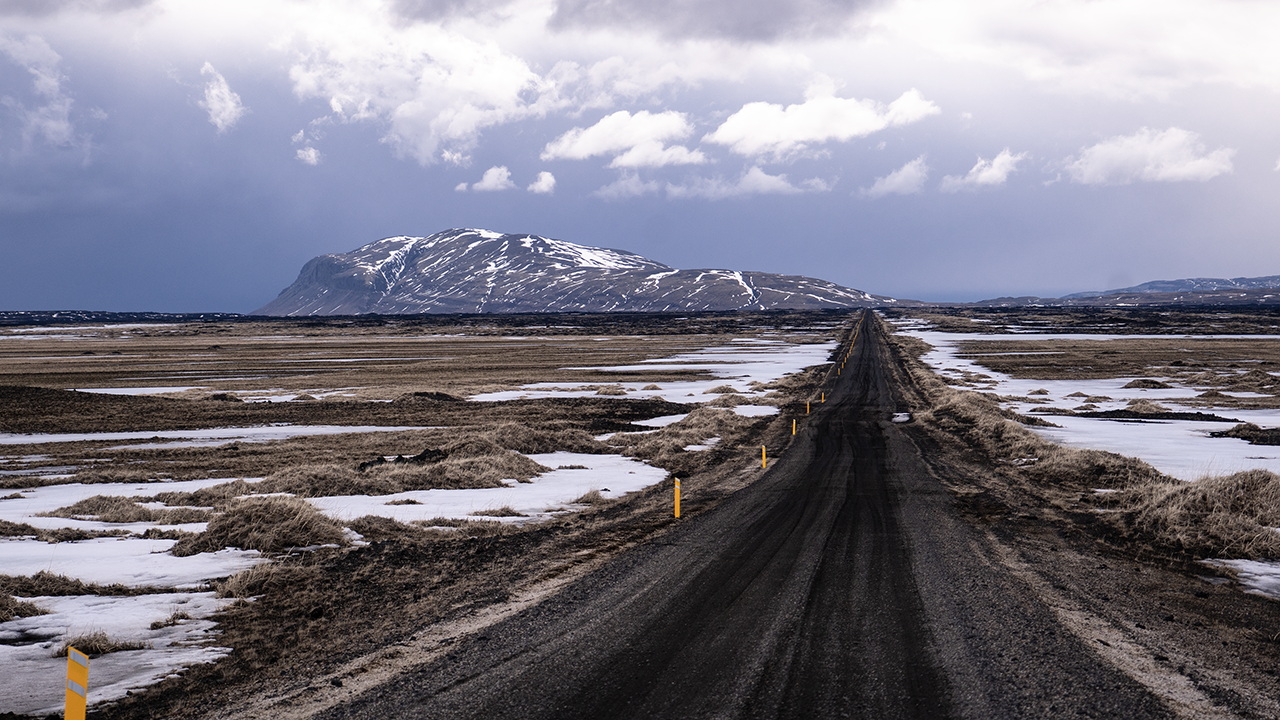
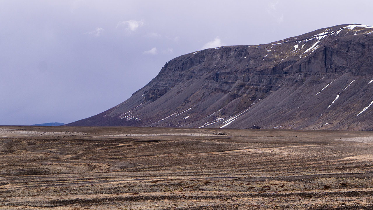
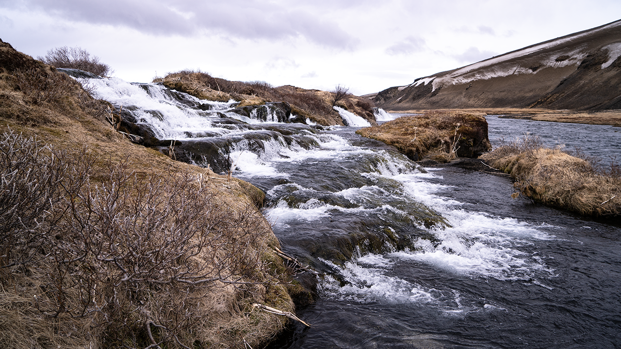
For the way back, I chose Route 26, which branches off Route 32. Once I was on it, I found it was unpaved. Had that been a mistake? I could not go as fast as on a paved road, so I would be arriving even later. Still, I did not feel like turning back.
Ahead of me was Búrfell, standing alone on the plain. Its elevation is apparently 669 meters, but with nothing around it, it really stands out. Judging by its position, I think it was the mountain I had seen close by from Route 32 a few hours earlier. From this direction, though, it looked like a different mountain. While writing this travelogue, I learned that it had grown through eruptions beneath thick ice. The ice stopped it from spreading sideways, leaving it with a relatively flat top and steep sides, rather like a table.
It was quite imposing up close, and the stripes around its base caught my attention. I imagined they were traces left when meltwater or heavy rain briefly sent large amounts of water down the slopes. In aerial images on Google Maps and elsewhere, they form beautiful patterns like the veins of a leaf.
The third photograph shows a waterfall called Fossabrekkur. I saw a sign for it on Route 26 and stopped to take a break. It was so small that calling it a waterfall almost seemed too grand. The water dropped into another stream running alongside it. When I looked it up, I found that both streams are apparently headwaters of the Ytri-Rangá River, joining here to form a single river. Water that has seeped into the volcanic rock in this area is said to emerge a little farther upstream, forming the source. So this was a waterfall right near the source! There seemed to be a lot of water for that. Then again, it was April. There was probably plenty of snowmelt.
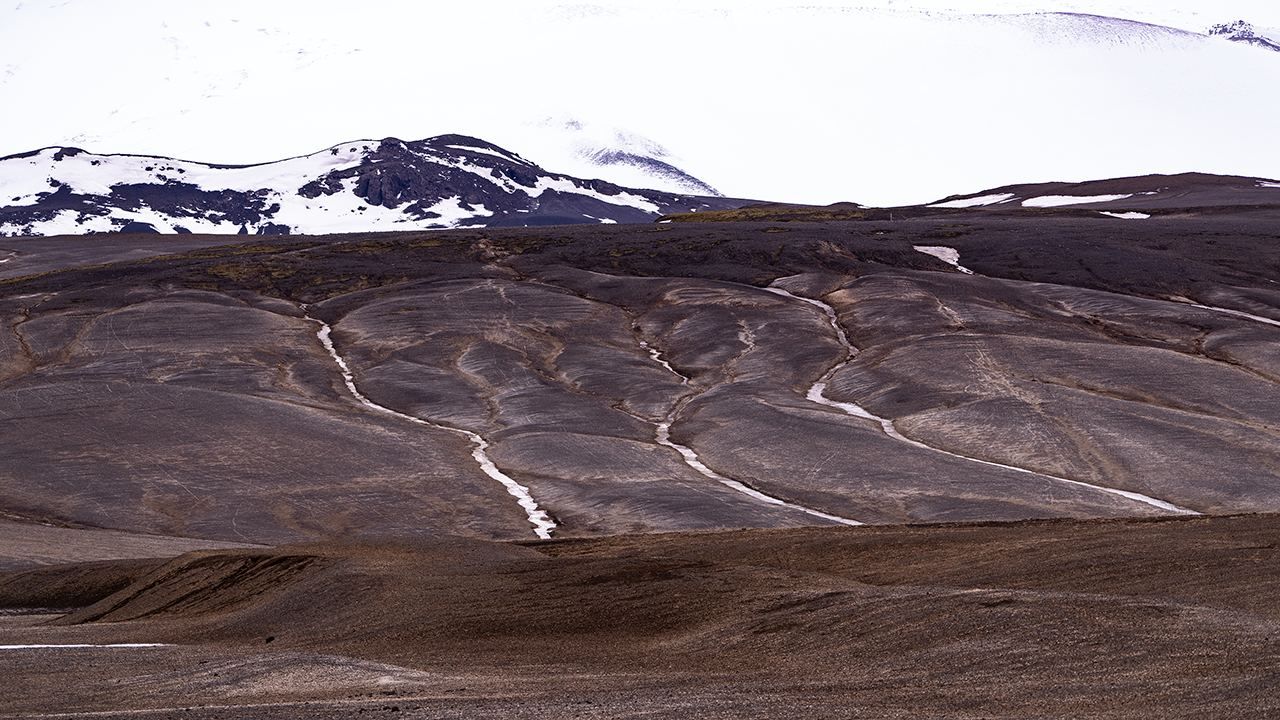
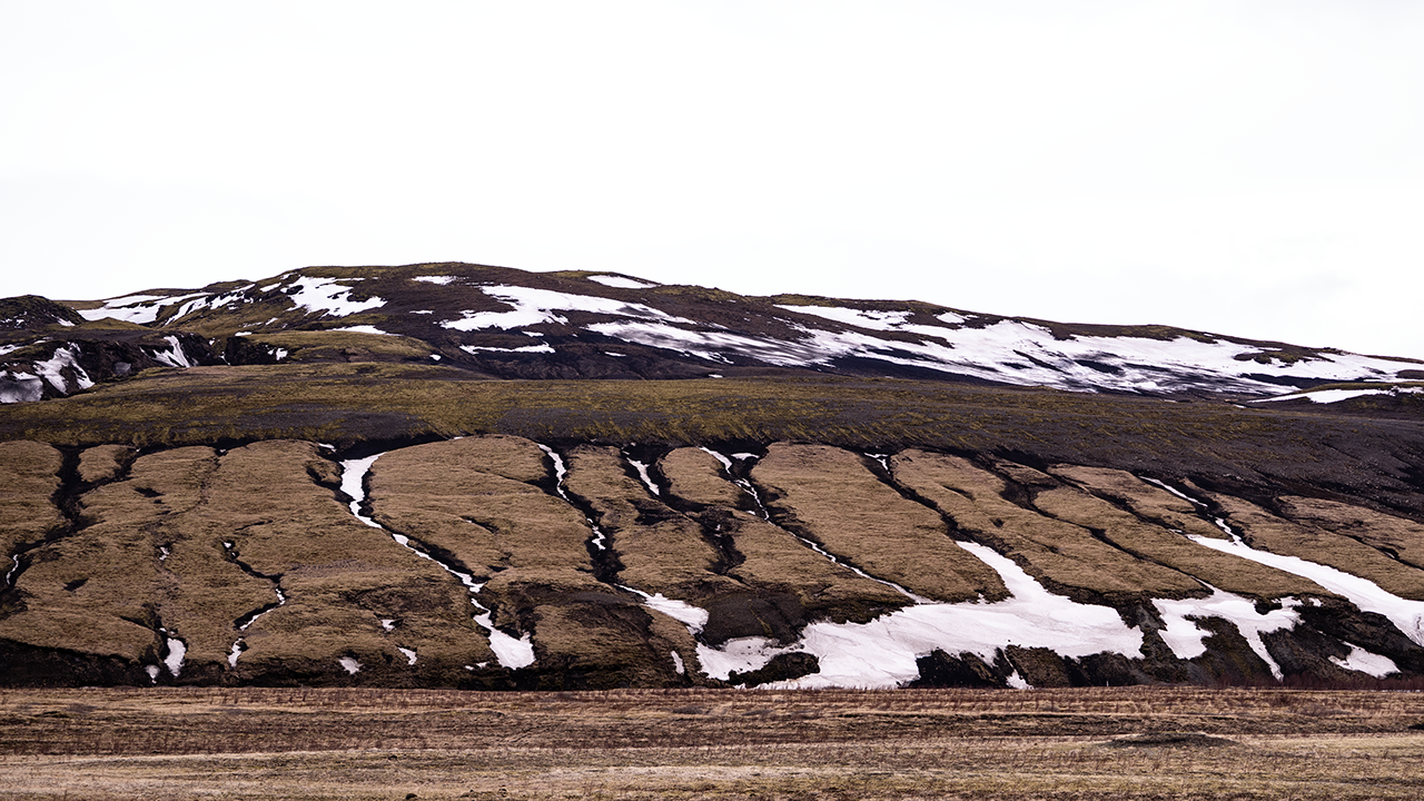
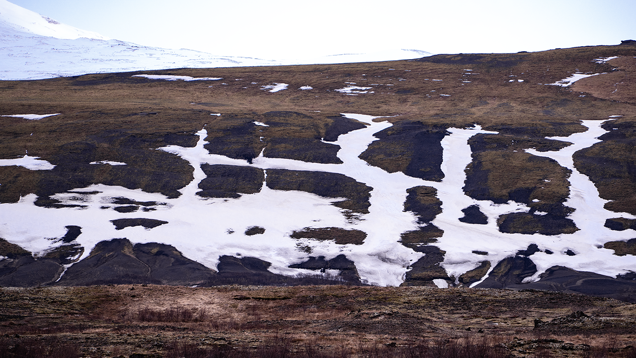
Fossabrekkur is given as the name of the waterfall. Foss means "waterfall," while brekkur is the plural of brekka, meaning a slope. Apparently, Fossabrekkur is also used for the surrounding green area. To keep things simple, I will use it as the name of the falls here. The slopes nearby had all sorts of patterns, and I kept stopping the car to photograph them as the scenery changed. Meltwater and other runoff had cut gullies into the ground. Where snow still filled them, the channels stood out like branching white limbs. I liked how the patterns looked different on bare ground, on slopes covered in vegetation, and where snow remained. Aerial images on Google Maps and elsewhere show them spreading much farther up the slopes. I would love to see them from above with my own eyes.
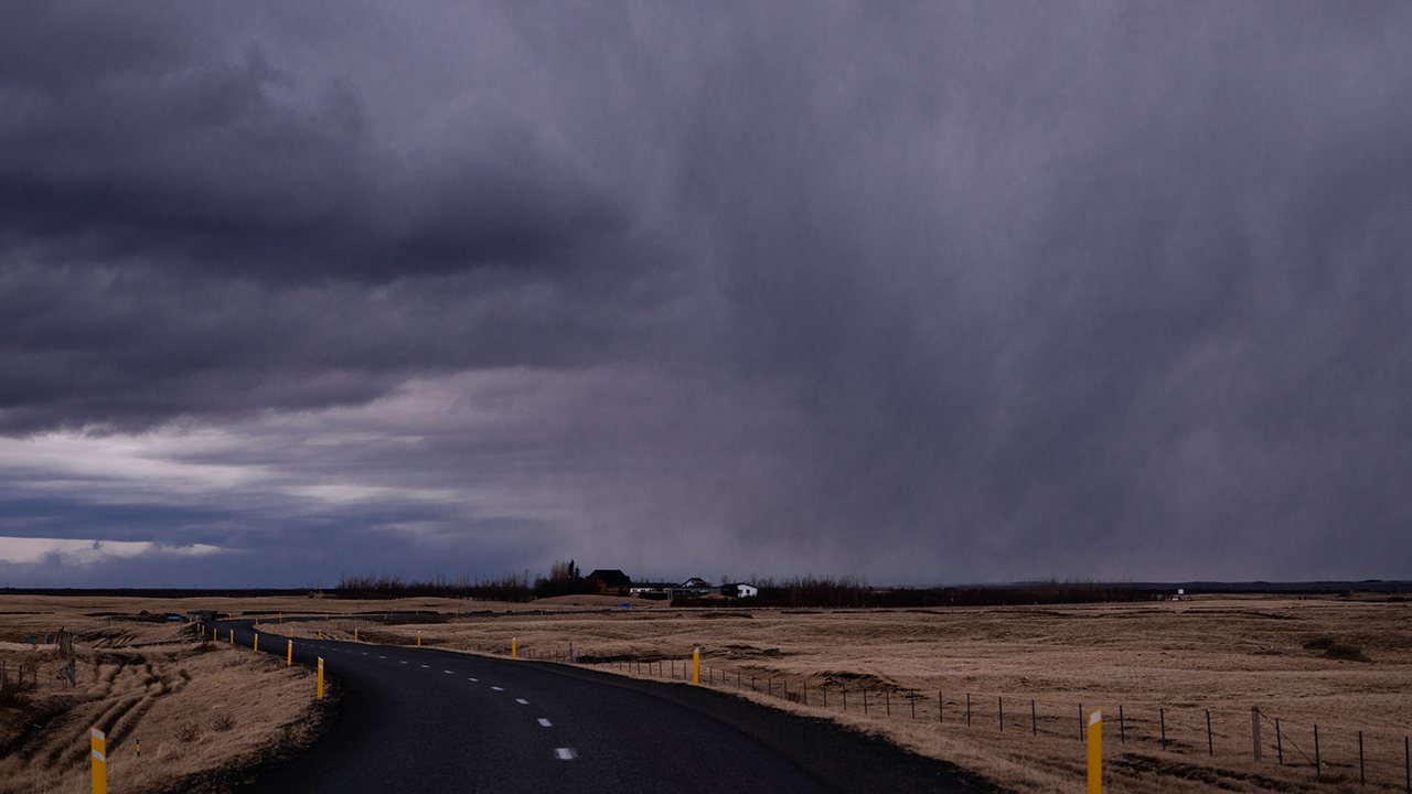
It was about 5 p.m. when I was at Fossabrekkur. I thought I was making decent progress.
Before long, the sky ahead suddenly began to darken. It must be pouring under those clouds, I thought. I drove on, hoping they would pass. In the end, I missed the worst of the rain. A bit of luck, for a day like this.
After that, I drove with hardly any stops for photographs. I was near Hella at about 6 p.m., and it was nearly nine when I reached the hotel near Kirkjubæjarklaustur. Dinner was served until 9:30 p.m. Just made it.
That brought to an end the day I had planned as a drive across the highlands to the South Coast. I had not made it across the highlands, but I had come back in one piece, enjoyed the inland scenery of an Icelandic April when spring had yet to take hold, and even managed to get dinner. I will put that down as a 90-out-of-100 day.
The Reykjanes Peninsula in April
I had quite a full day planned for the last day of my April solo trip: leave Selfoss, explore the Reykjanes Peninsula, then get to Keflavík Airport for a 4 p.m. flight to London. Still, the direct drive was only about an hour and a half. I reckoned that left me room to adjust if anything came up.
Selfoss
After visiting Seljalandsfoss and other sights in the south, I stayed at a hotel in Selfoss, marked ⑤ on the April Route Map. It was the largest town in southern Iceland, though apparently its population at the time was just under 7,000. Once again, it left me with the feeling that everyone in Iceland must live in Reykjavík.
The hotel had a wonderful location, right beside the roundabout in the center of town where the Ring Road turns right. From there, I could look down on the bridge over the Ölfusá River, which carries one of the largest volumes of water of any river in Iceland.
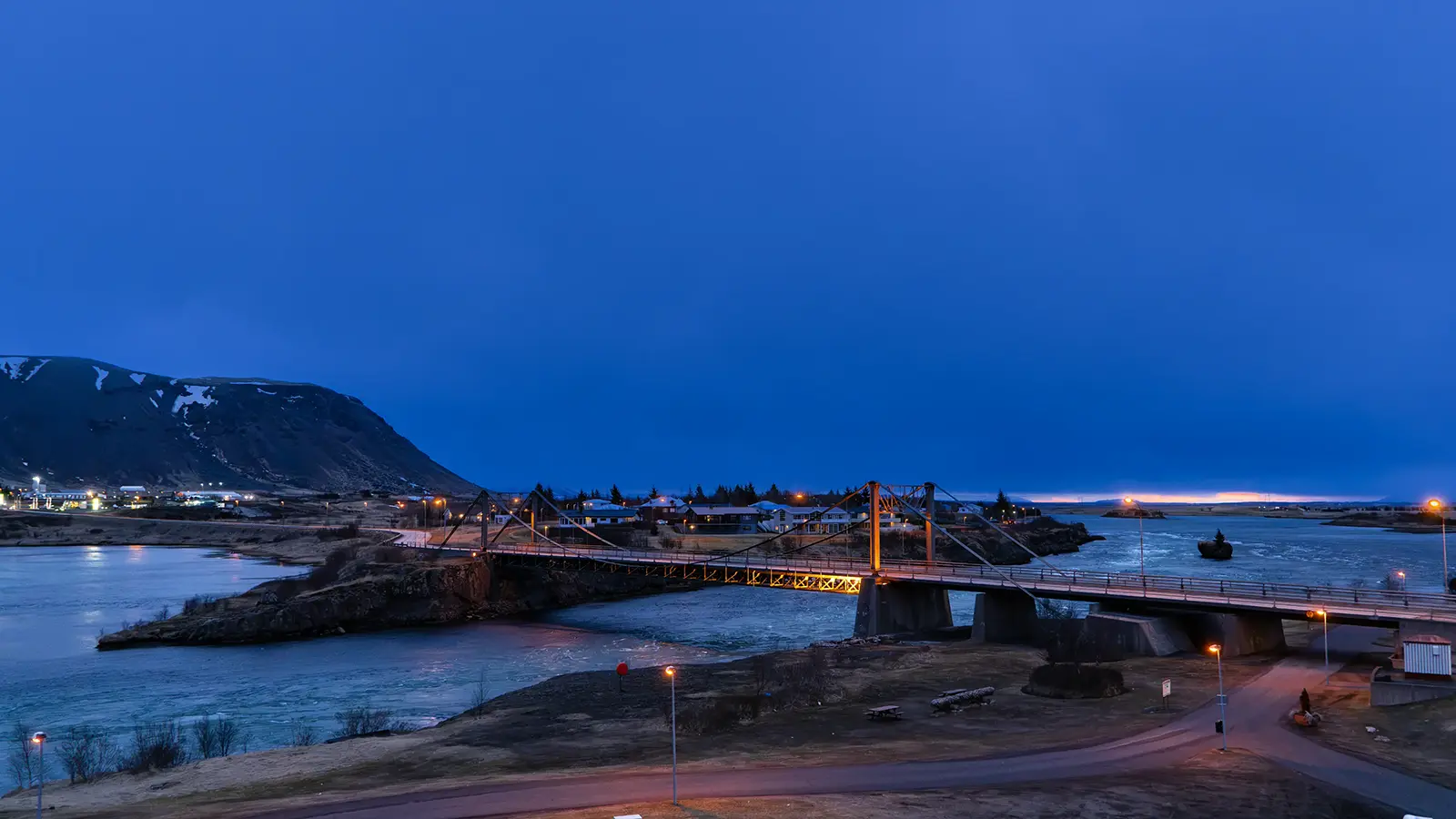
A night view—or rather an early-morning view—from the hotel window
I first headed south to the coast, then turned west along Route 34. Near the mouth of the Ölfusá River, a long, narrow sand spit reached out from the west, leaving only a narrow outlet for the river. I crossed the bridge over this channel and drove on with water stretching alongside the road on my right, inland. It looked like a lagoon formed at the river mouth. Where Route 34 met Route 38, I turned left and headed south, then joined Route 427 and continued west.
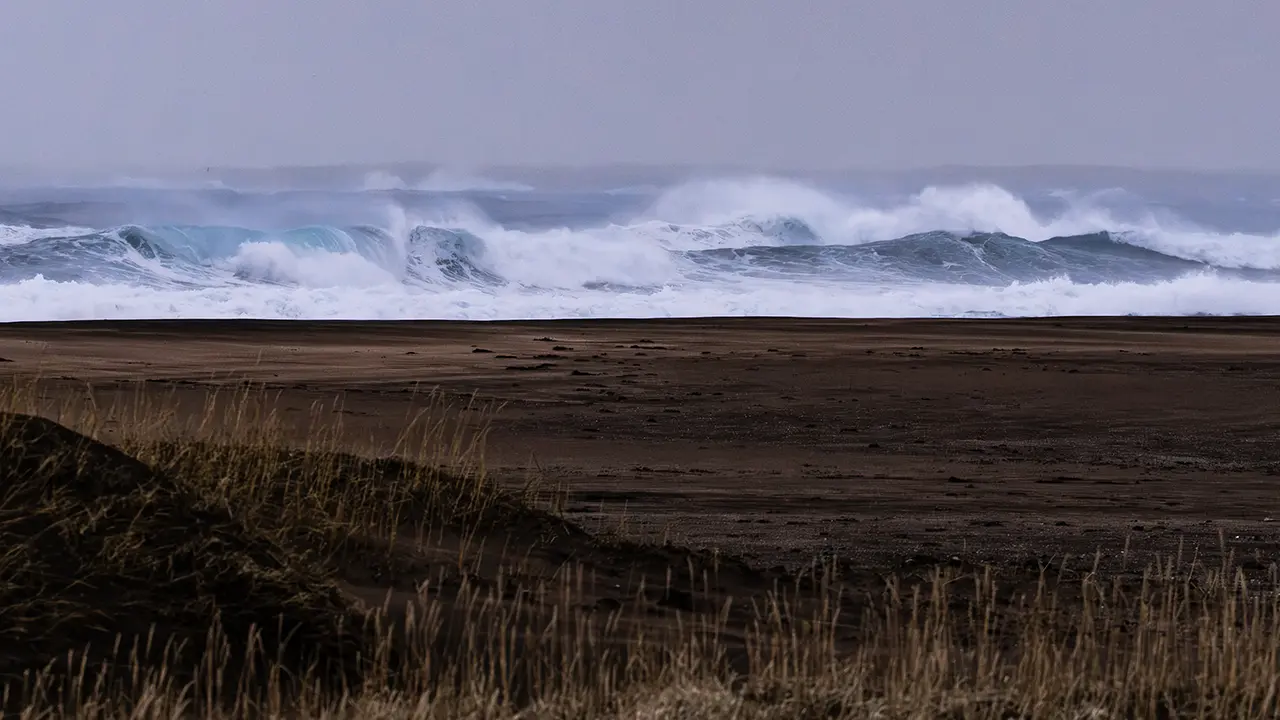
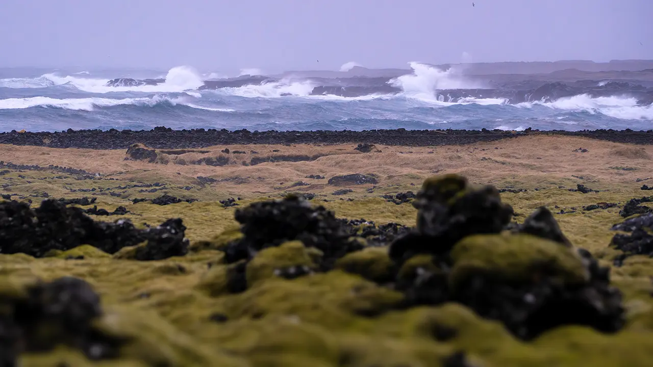
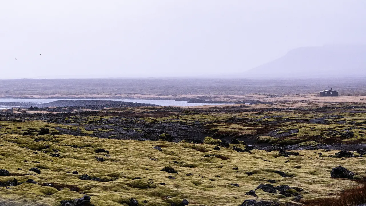
For about 50 km, I drove through a landscape of sand plains and lava fields, with patches of moss and shrubs here and there. Wilderness was the only word for it. Every so often, I caught sight of white waves breaking in from the Atlantic.
In the third photograph, a single building stands all on its own. Apparently, this area was once a fishing base, with many huts used by fishermen. I do not know whether this building had anything to do with them, or whether it is still in use. Either way, there was a loneliness to the scene that struck me.
At the junction with Route 42, I turned right into the hills.
Lake Grænavatn
About five minutes later, a lake came into view on the right. Even in the rainy weather, the green of the water was vivid. It is called Grænavatn, apparently meaning "green lake." A name that made perfect sense. It is thought to be a crater lake formed when water filled a crater left by an explosion about 6,000 years ago, when magma came into contact with groundwater. A very young lake—in geological terms.
I really felt I had entered an active volcanic area. Across the lake, I could see steam rising from the ground.
The fairly large structures that appear in the third photograph are apparently a cowshed and silo left behind when a large-scale dairy-farming project fell through in the 1950s. Perhaps the rain and gray sky made the place seem even less promising, but I found myself wondering whether grass for grazing could even grow here.
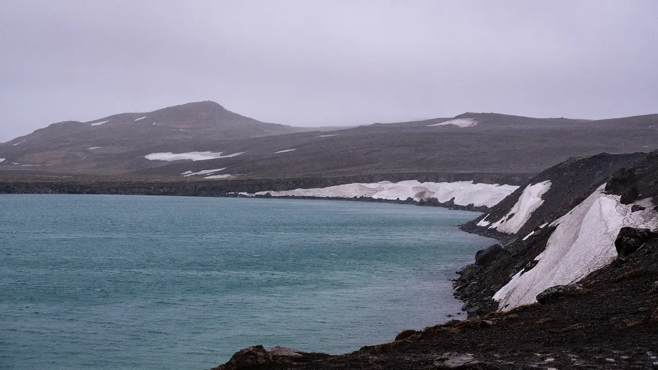
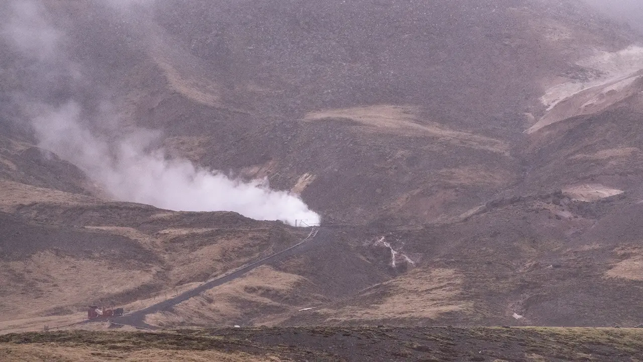
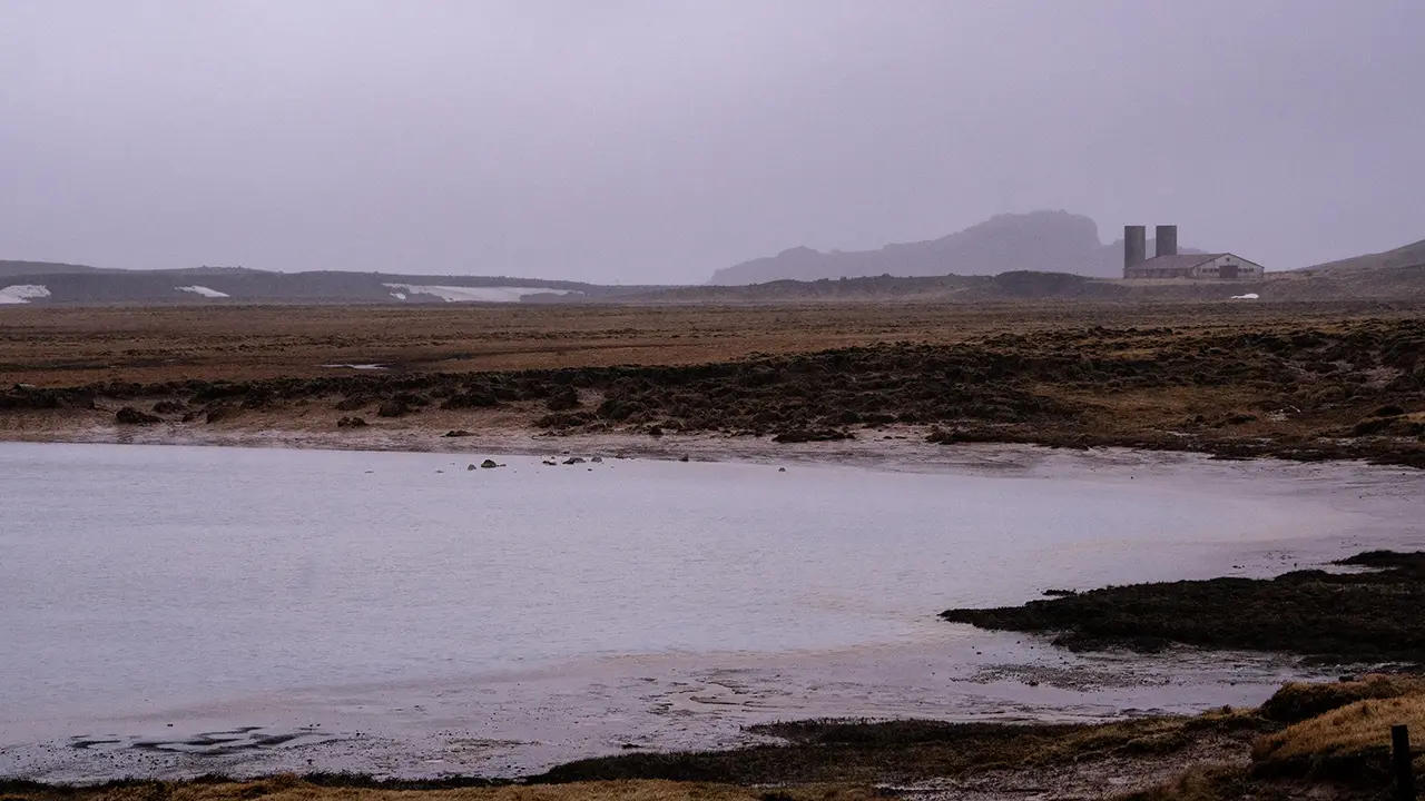
Seltún Geothermal Area
Farther along, I passed the area where I had seen the steam. There was a sign saying Seltún, with a photograph of steam rising from the ground. There were cars in the car park too, so I decided to have a look.
In the car park, there was a trail map and an information board explaining the area. According to the board, the mud pools and steam vents at Seltún are constantly changing. In autumn 1999, for example, Drottningarhola, the "Queen’s Hole," exploded, creating a large mud pool. Various gases come out with the steam, including hydrogen sulphide, which gives hot-spring areas their familiar smell. Sulphur compounds make the spring water acidic, so plants struggle to grow. Sulphur was once mined here and exported from Iceland for use in gunpowder. That was the gist of it. If sulphur had been mined here, I supposed people must have had a hand in shaping this landscape too.
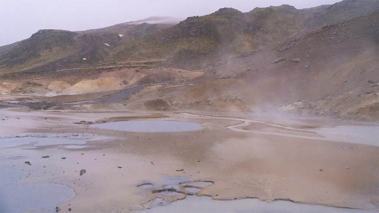
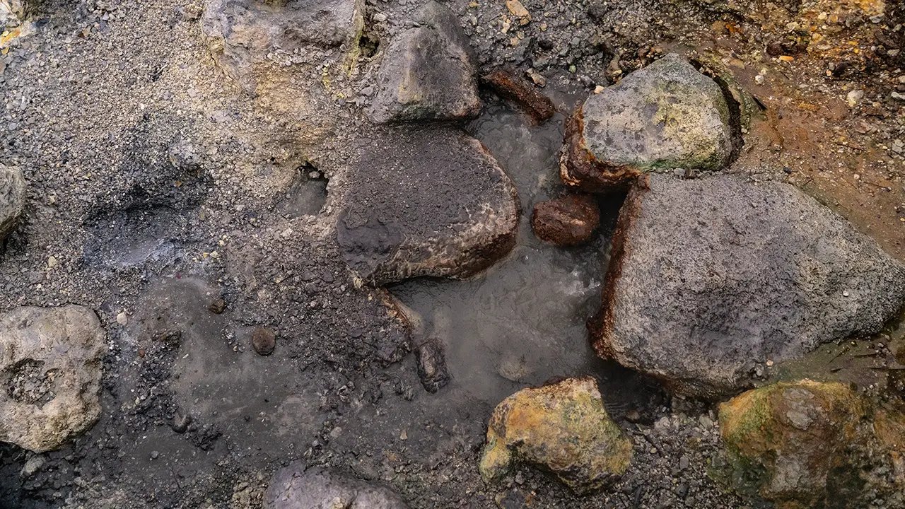
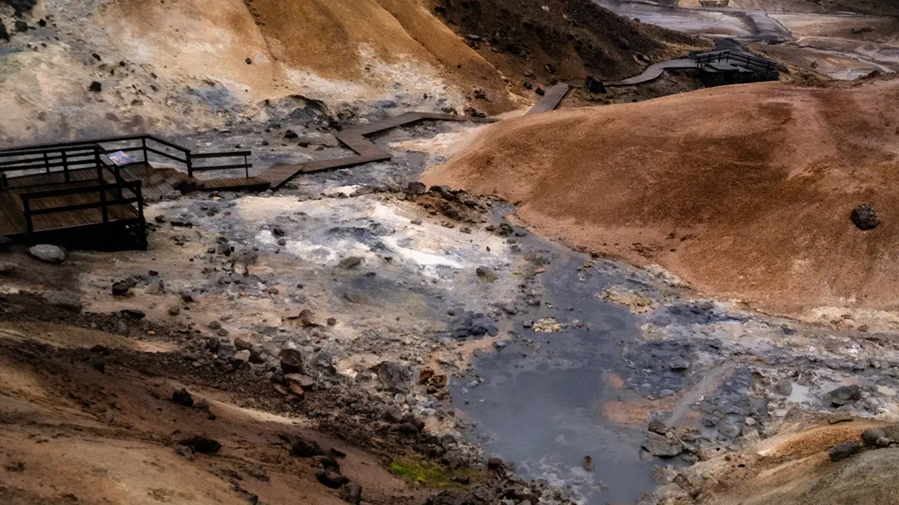
Since I had stopped, I might as well walk the trail, rain or not. I put up my umbrella and set off. The wooden boardwalk made it easy to walk around, which was a help.
This is the view from the first terrace, the one I could see from the car park. With the rain falling, I could not tell whether the pools had formed around springs or were simply rainwater collecting on the ground. In some places, though, water was definitely welling up, as in the second photograph. Hot water, perhaps? The third photograph looks back towards the car park from the terrace farther in. Some patches were stained yellow, which I took to be sulphur, and others white, perhaps silica.
Lake Kleifarvatn
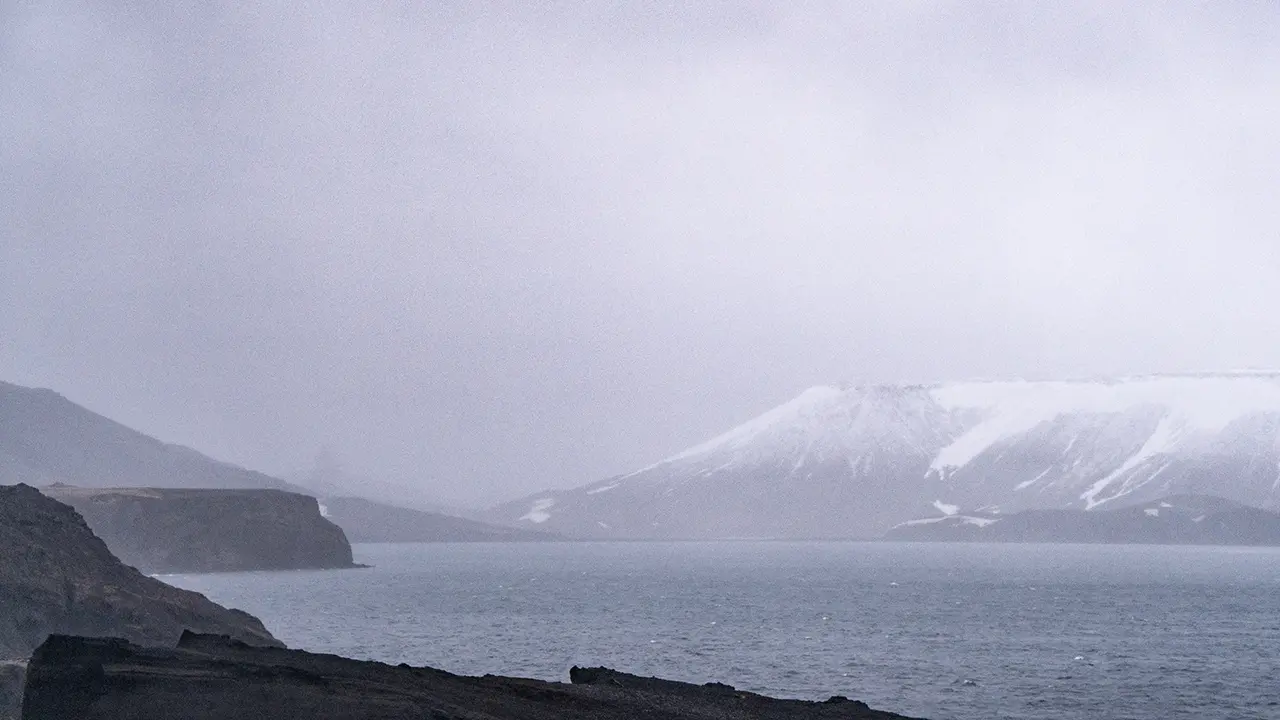
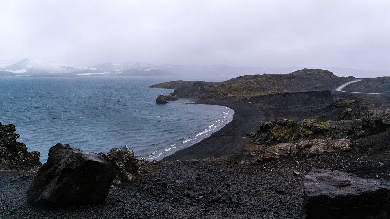
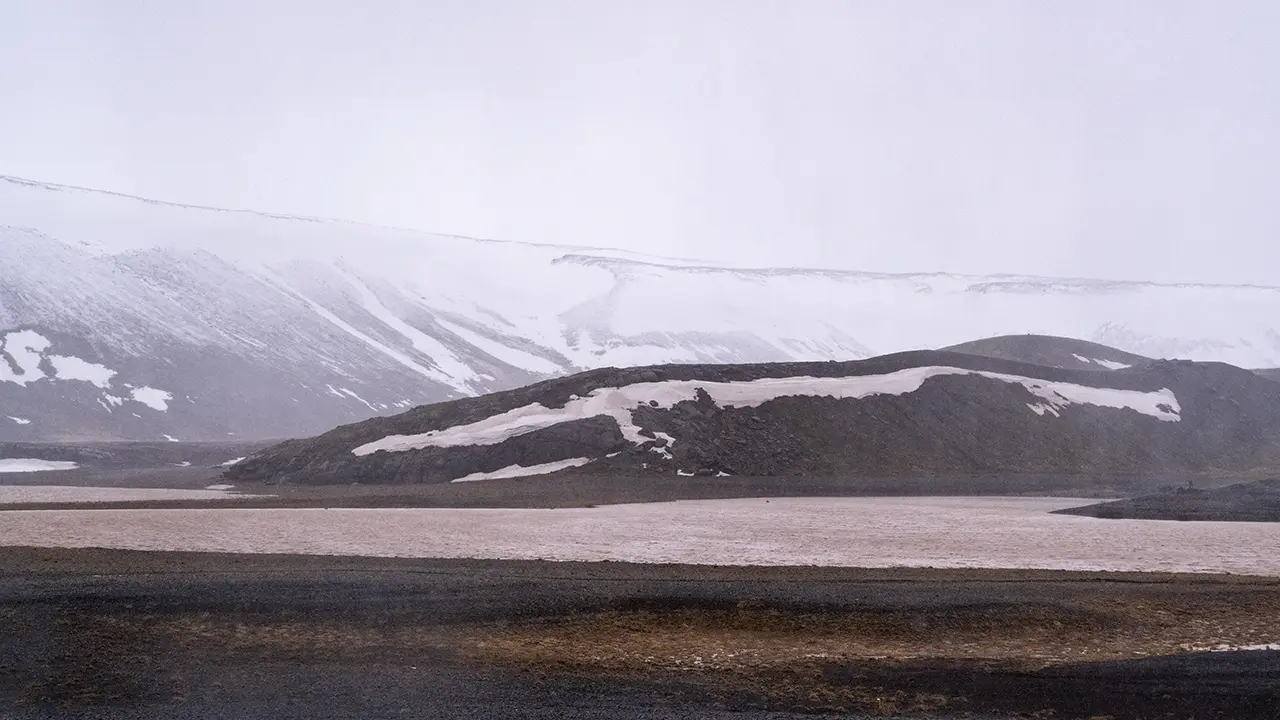
Heading north after leaving Seltún, I came to another lake. Quite a big one. Looking it up later, I found that it stretches for more than 5 km from north to south alongside Route 42. This is Kleifarvatn, apparently formed where water collected in the low ground between two lines of mountains running north–south. What puzzled me when I looked at the map was that there was no river flowing out of it. A little water flows in, but most apparently drains away underground through the porous volcanic ground.
I took the third photograph about five minutes farther north. Here, the water was murky. Perhaps all that rain had been washing soil and sediment in from the surrounding land.
After this, I visited the Blue Lagoon and Gunnuhver, both of which I went to again in August. I have already covered them in the Ring Road tour section, so I will leave it at that here.
While writing this travelogue, it struck me that there had been no eruptions on the Reykjanes Peninsula when I visited in 2016. Since then, eruptions have become a recurring feature. If my trip had coincided with that period, I would surely have carried on west along Route 427 to try to see the newly erupted lava. A pity to have missed such a hot spot, but it was not there at the time. Nothing to be done about that.
Reflections on Iceland
And that brings this long travelogue to an end.
Ten years on, I had to dig through what remained of my itineraries, flight-ticket records and the EXIF data in my photographs to piece my memories together. I also asked ChatGPT and Gemini to help find information about the places. It was a lot of fiddly work, and has taken more than two months. Still, it brought back so much: where I went, what I saw, and how I felt at the time. I am glad I wrote it.
When I tell people I have been to Iceland, they often ask, "Which place did you like best?" There are so many that I find it hard to choose, but if I had to pick three, they might be these.
The Svartifoss Loop comes to mind straight away. It was not just the waterfall—the scenery all around it was wonderful too. Then there is Dettifoss. What can I say about that power, except that it was incredible? For the third, I would choose Jökulsárlón, famous though it is. I still clearly remember how hard it was to leave, with the scene changing all the time.
Svartifoss Loop Trail
Dettifoss
Jökulsárlón
I had trouble deciding which photograph to finish with, but chose this view looking south from the Bridge Between Continents (Brú Milli Heimsálfa), the last place I visited in April. Here, a fissure in the ground shows the effects of plate movement, one of the forces that shaped Iceland. Looking it up, I learned that Álfagjá, the fissure beneath the bridge, is one of several within the broad boundary zone where the North American and Eurasian plates move apart. A plate boundary makes me picture a single line on a map. In reality, though, it is a zone with some width, where the ground deforms and multiple fissures form. I suppose the idea of a bridge linking two continents is a symbolic way of making that geology easier to understand. Rather Icelandic, when you think about it.
While looking into it, I came across another connection. The bridge is also known as Leif the Lucky’s Bridge. Leif is Leif Erikson, an important character in the anime Vinland Saga who tells the protagonist about the new land of Vinland. Apparently, he was a Viking with ties to Iceland, believed to have been a real person and to have reached North America around AD 1000, long before Columbus. I never expected to find a connection to Vinland Saga here. All sorts of interesting things turn up.
With all that in mind, I also liked the words "ICELAND 2016" that happened to make it into the photograph. I had actually failed to notice them and cut some of the lettering off. Perhaps that, too, says something about the trip.
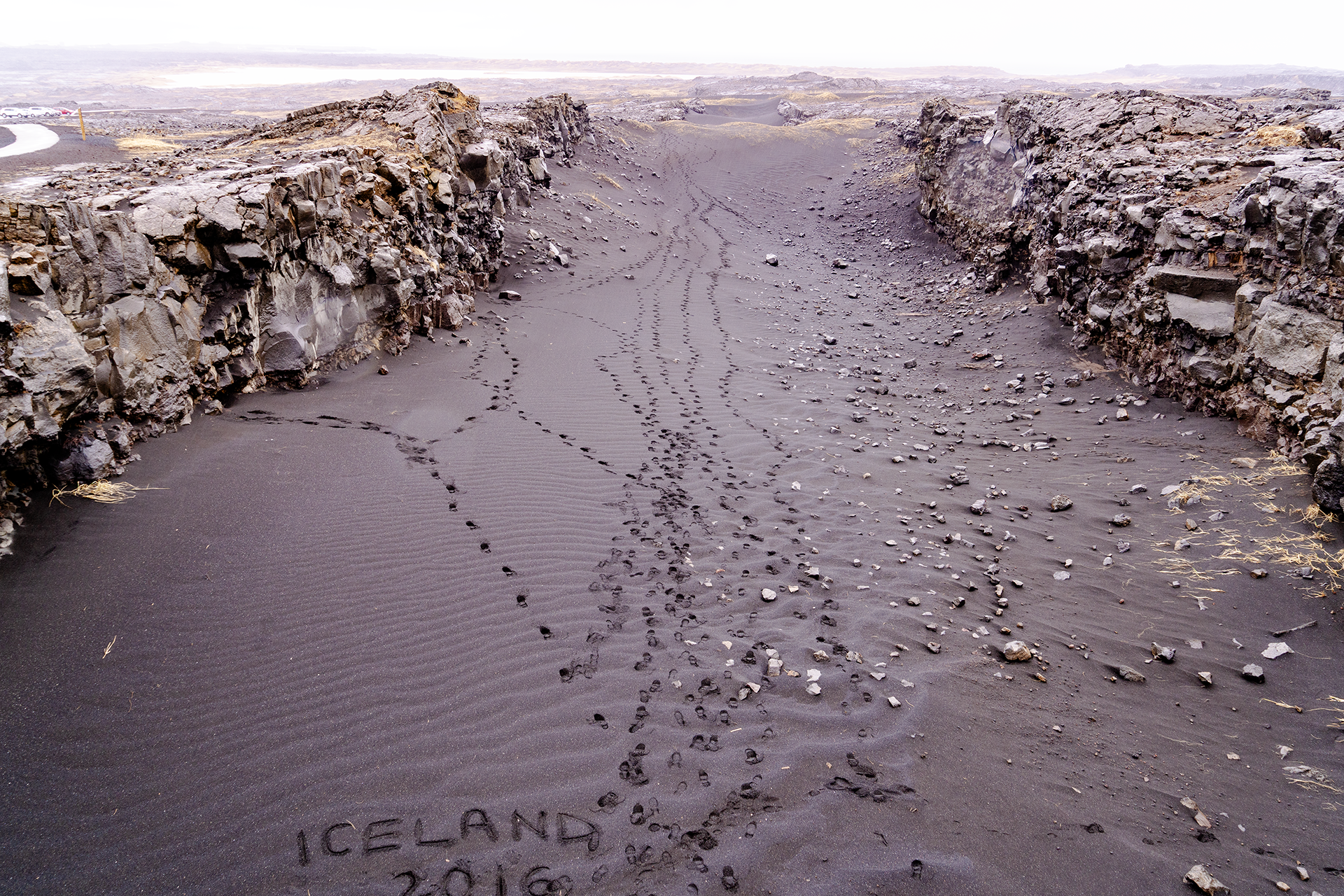
Now, which trip shall I write about next?