The Golden Circle is one of Iceland's best-known sightseeing routes, close enough to Reykjavík for a day trip. Its three main stops are Þingvellir, Geysir, and Gullfoss.
The drive from Reykjavík to the Golden Circle brought one striking landscape after another into view. Here are a few that I photographed along the way.
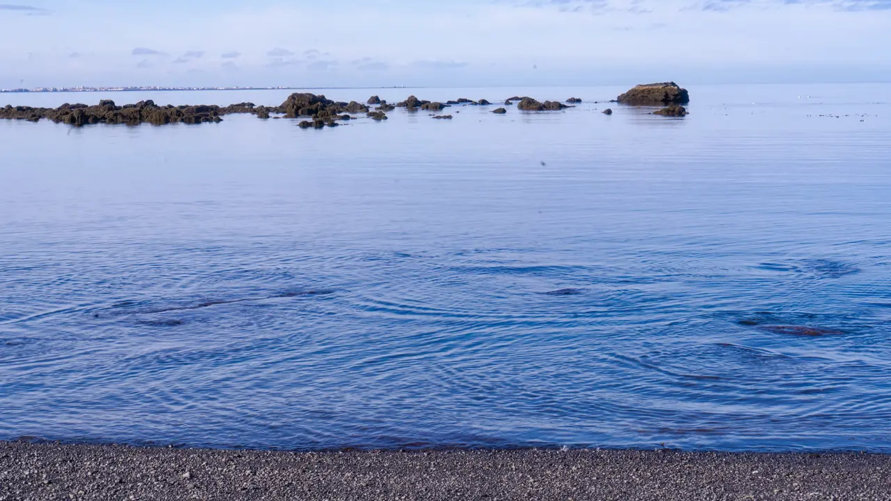
A shore bubbling with warm discharge water from geothermal power generation
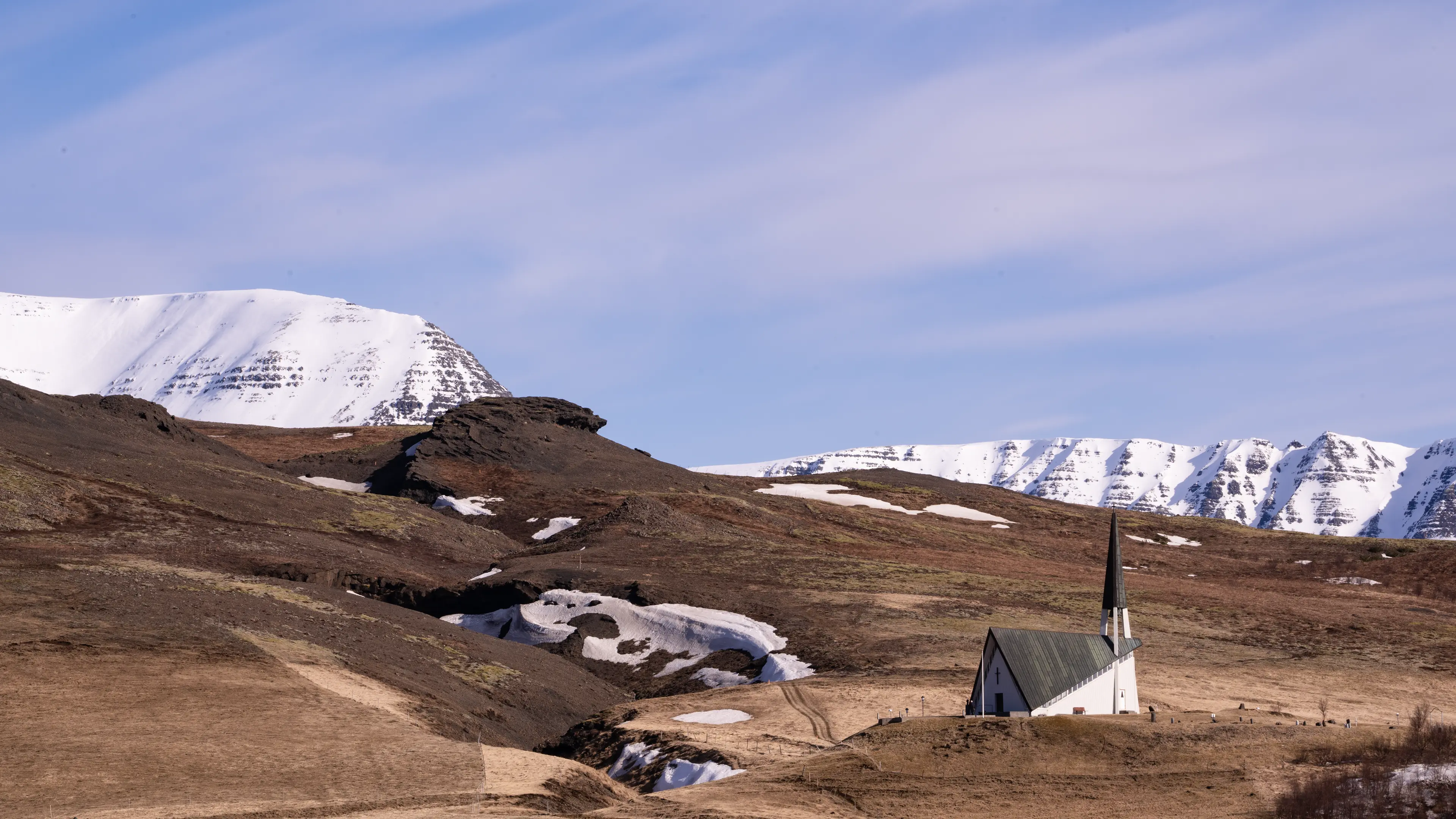
Mosfellskirkja church
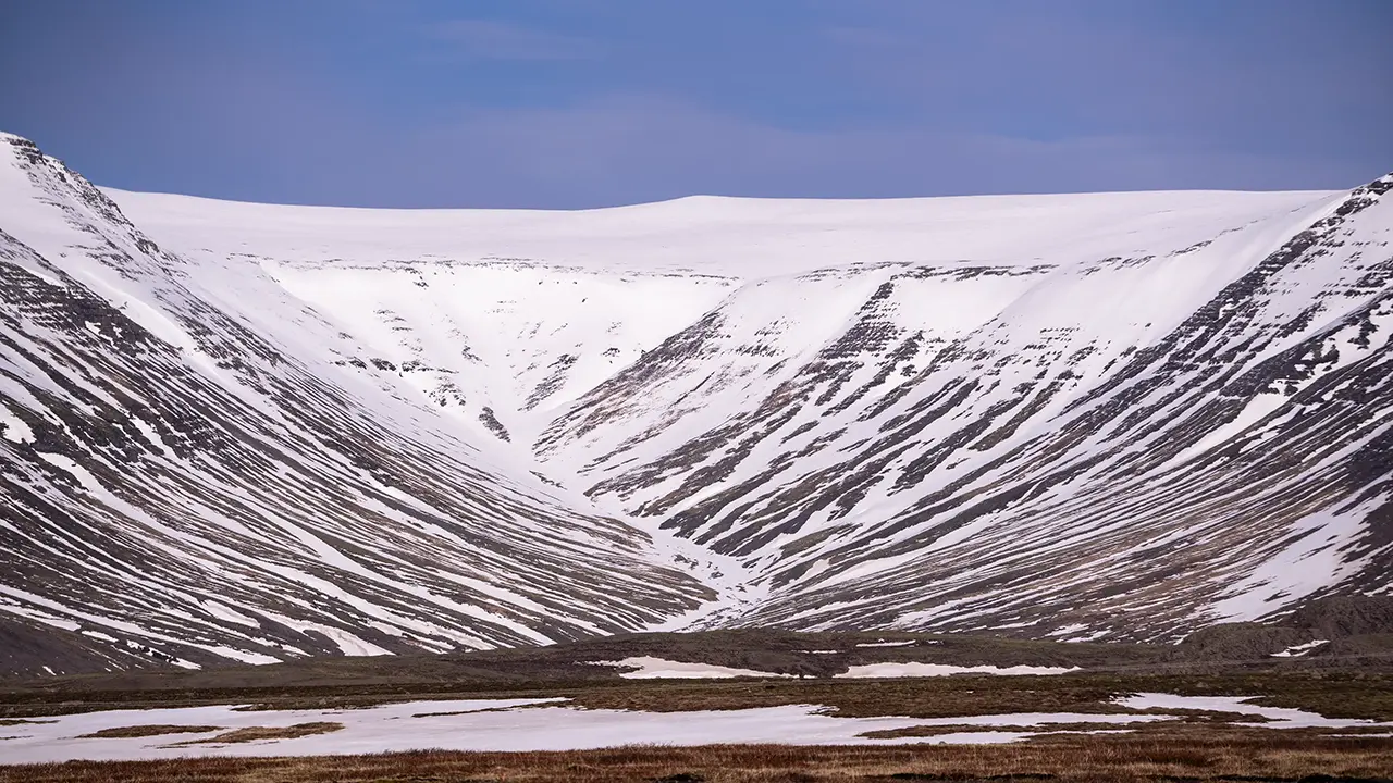
Striking bands in the landscape: the U-shaped valley of Mosfellsdalur
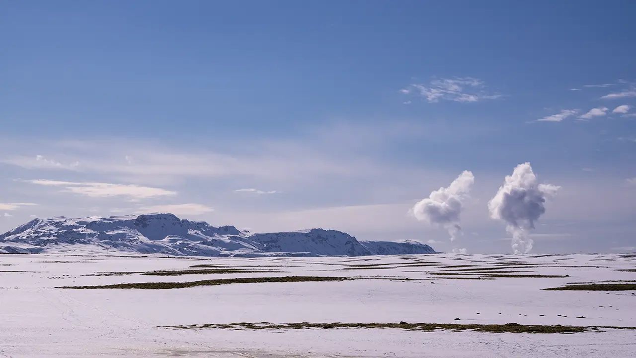
The Hengill volcanic area and columns of steam rising from Nesjavellir geothermal power station
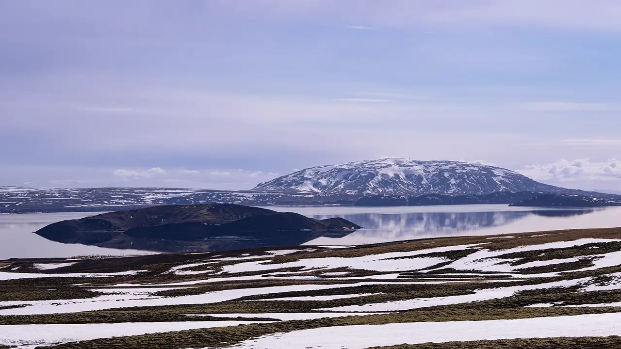
Lake Þingvallavatn and the island of Sandey
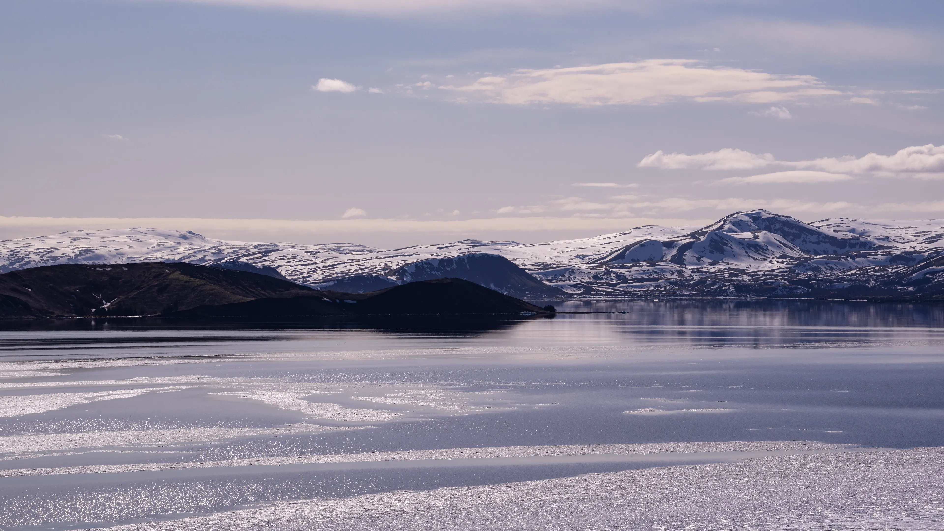
Lake Þingvallavatn
Þingvellir
Þingvellir National Park is a World Heritage Site, recognized for its cultural rather than natural significance. Around AD 930, Iceland's national assembly, the Alþingi, was established here. People gathered in the open air to make laws and settle disputes. This early system of government, and the place where it took shape, remain an important part of Iceland's history and cultural identity.
The scenery, however, would be reason enough to visit. I began at Hakið lookout near the entrance, taking in the landscape before descending to the foot of Almannagjá. I walked north along the cliff, passing Lögberg, the focal point of the old assembly. Here, the landscape itself is said to have helped speakers address the crowd: the rock wall behind them reflected their voices out towards the listeners.
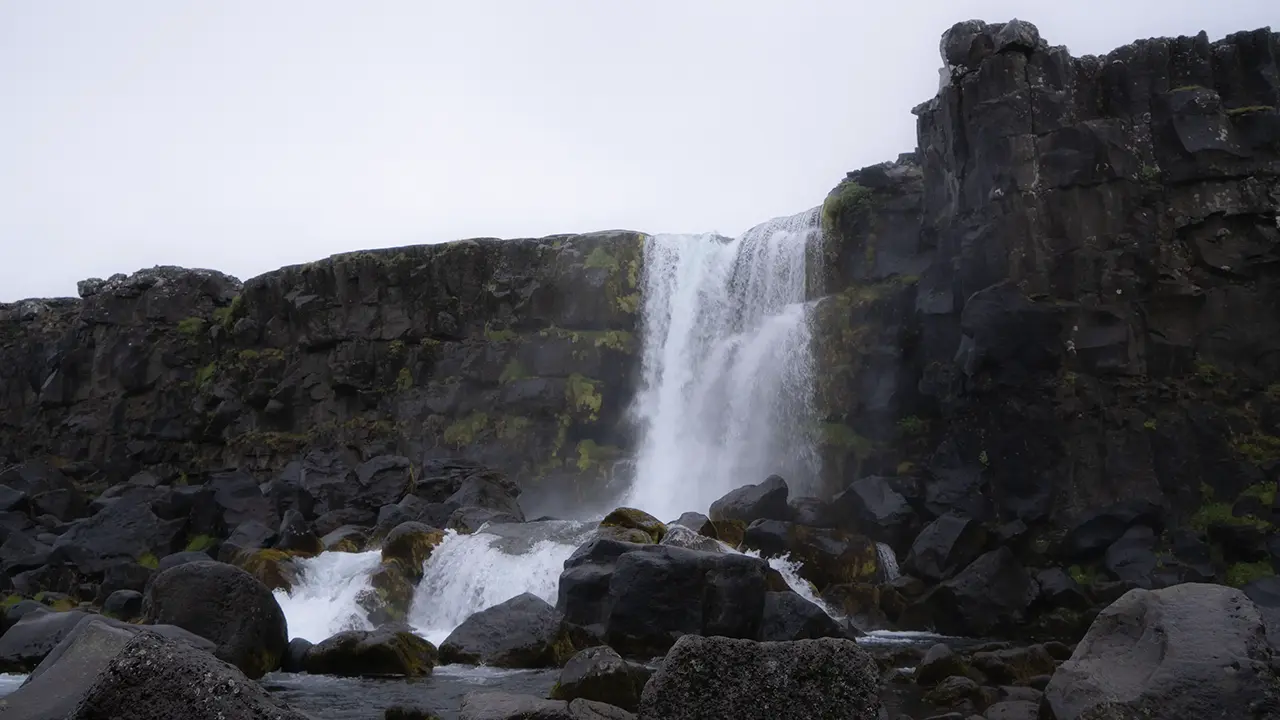
Farther along was Öxarárfoss, where the Öxará River drops over the Almannagjá cliff. At about 13 meters high and 6 meters wide, it is a modest waterfall, but its story is more surprising than its size. According to historical accounts, people diverted the river around the 10th century to bring drinking water closer to the assembly grounds. By changing the river's course, they also created the waterfall in the position we see today. What looks like a purely natural feature is thus said to owe its location to an early engineering project.
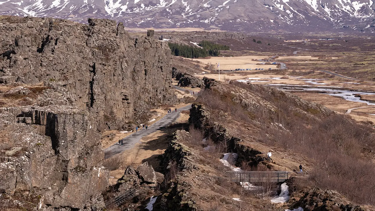
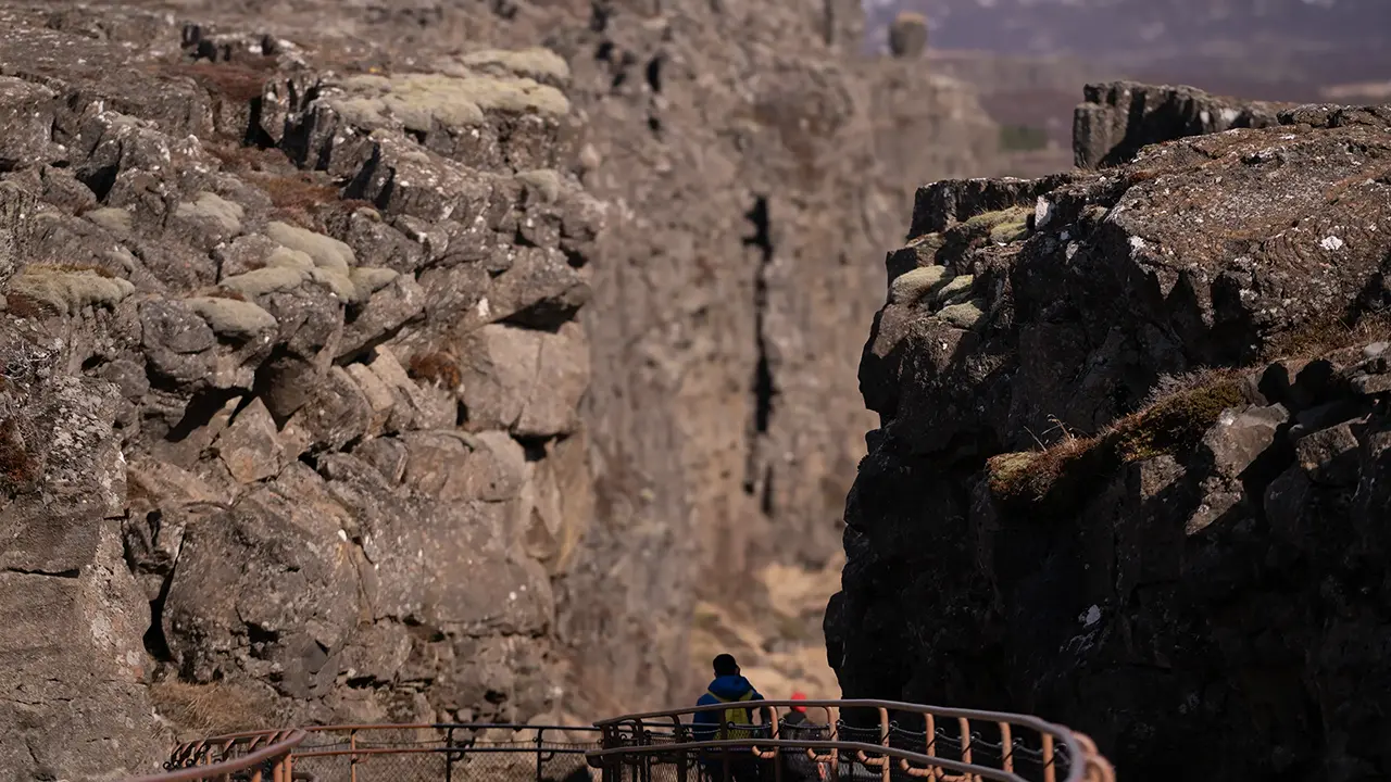
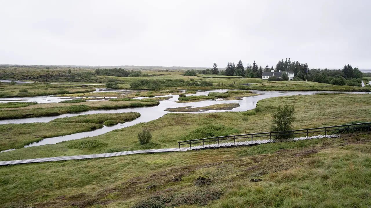
The path along Almannagjá, seen from the lookout. Lögberg is also visible.
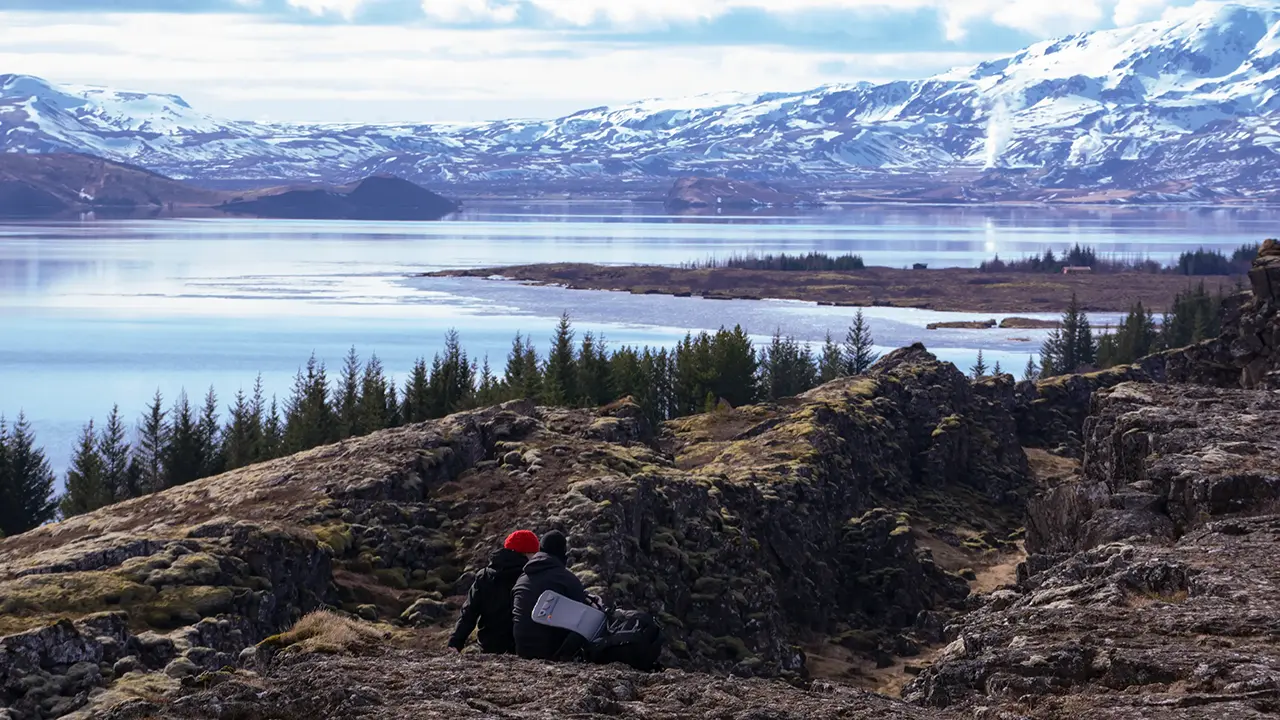
Looking south over Lake Þingvallavatn. Steam from a geothermal power station can be seen in the distance.
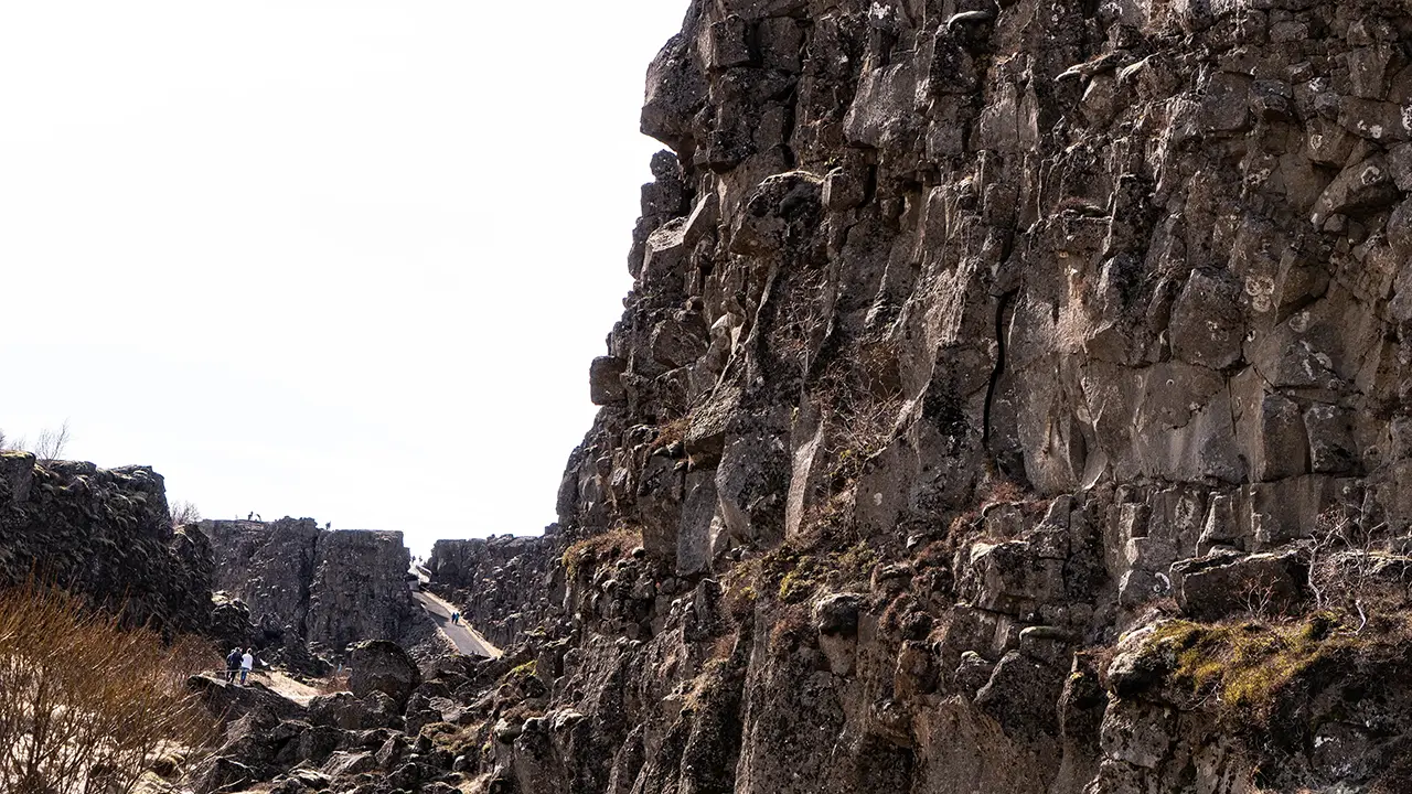
Descending from the lookout. I like the contrast between the cliffs on either side and those beyond.
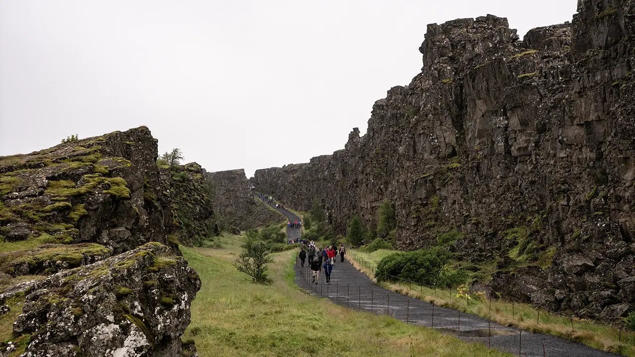
Looking back towards the lookout from the path.
Another photograph from a similar angle
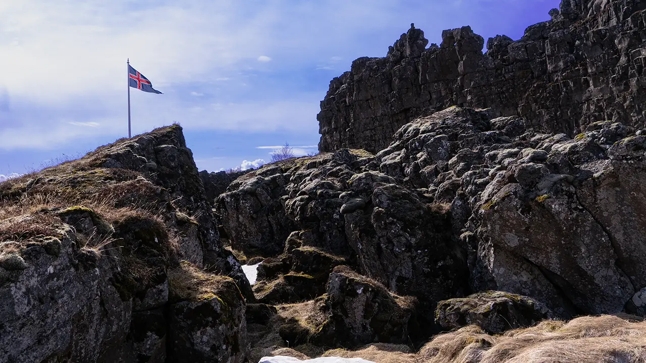
Lögberg, marked by the Icelandic flag
Looking south from near Lögberg. Silfra should be visible, I think, but I cannot identify it.
Öxarárfoss
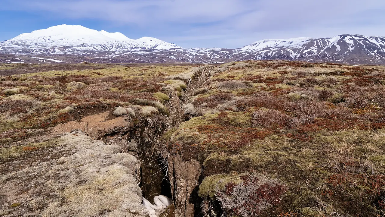
A single fissure in the middle of the plain.
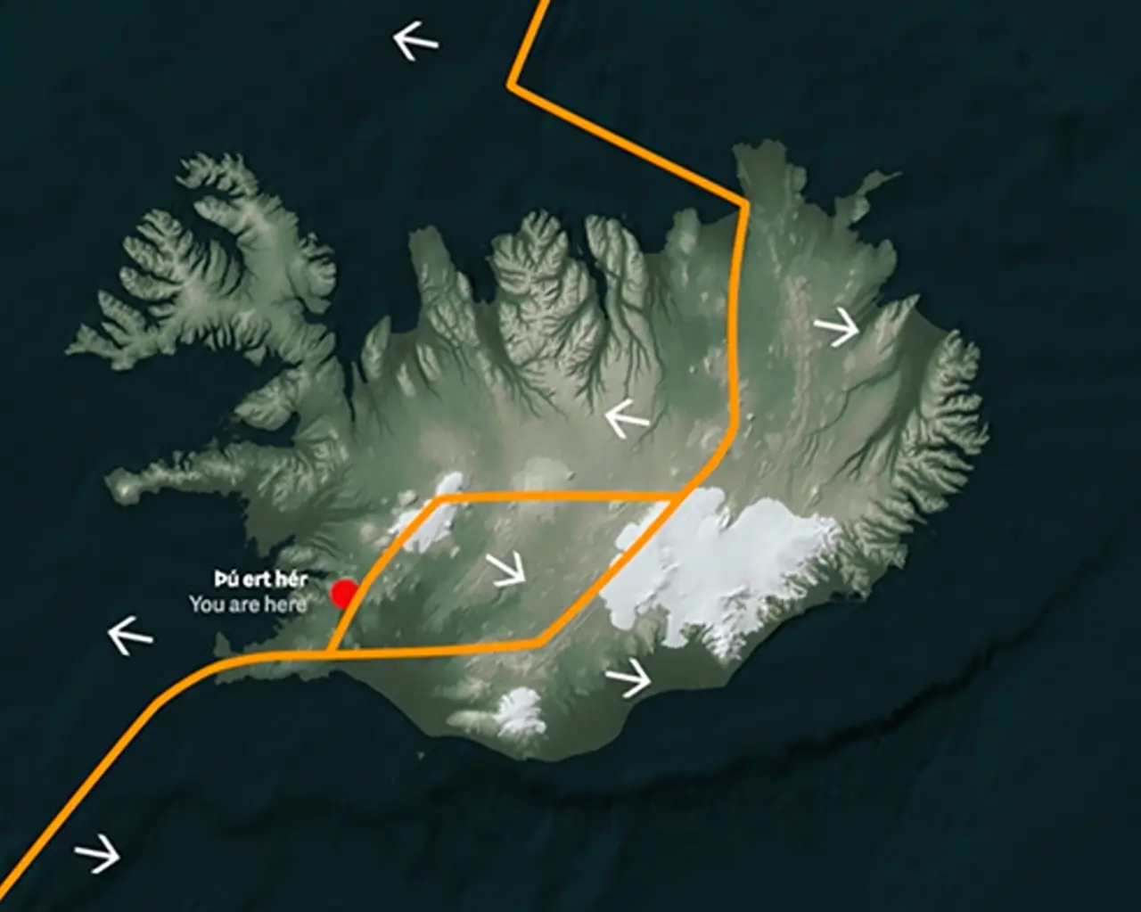
The history and scenery would be enough to draw me here, but what fascinated me most was seeing the movement of the Earth's crust written into the landscape. Iceland straddles the Mid-Atlantic Ridge, where the North American and Eurasian plates are slowly moving apart—at an average rate of about two centimeters a year.
At Þingvellir, however, there is no single crack marking the boundary between them. Instead, the ground is stretched and broken across a broad zone, with faults and fissures such as Almannagjá and Hrafnagjá. As the land pulls apart, parts of it sink, forming the rift valley. These cliffs and cracks are the visible traces of that movement. Iceland also has smaller tectonic plates, or microplates, alongside the two major ones.
The plates around Þingvellir Source: Þingvellir National Park official website
The plate boundary Source: Þingvellir National Park official website
For more detail on the faults at Þingvellir, see Tectonic Movements on the national park's official website.
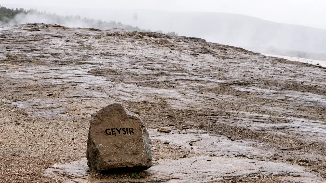
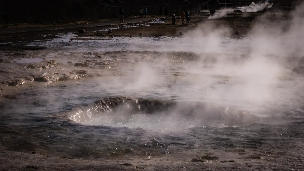
This area is known as Geysir, but the geyser that gave the place its name was quiet. This is the famous Geysir from which the English word "geyser" derives. Its name is also used for the surrounding geothermal area in the Haukadalur valley, and that is how the place usually appears in travel guides. Even when it is not erupting, Geysir still gets top billing.
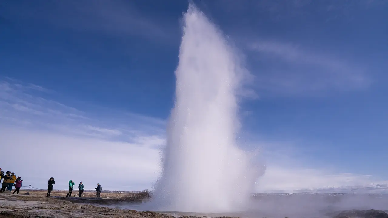
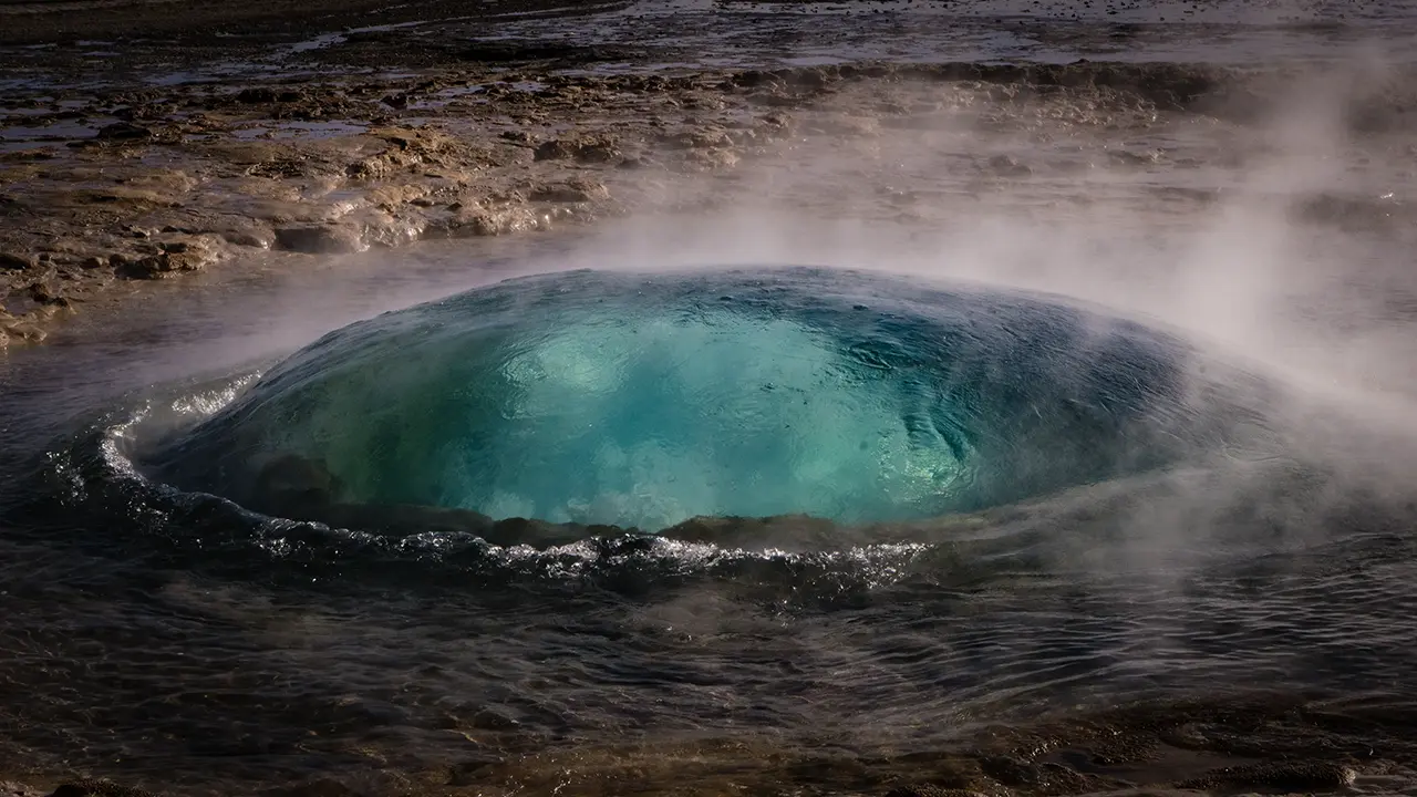
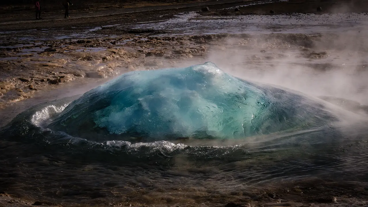
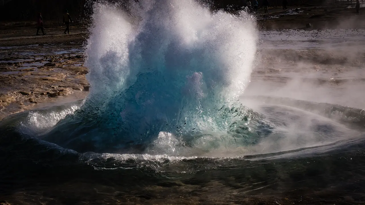
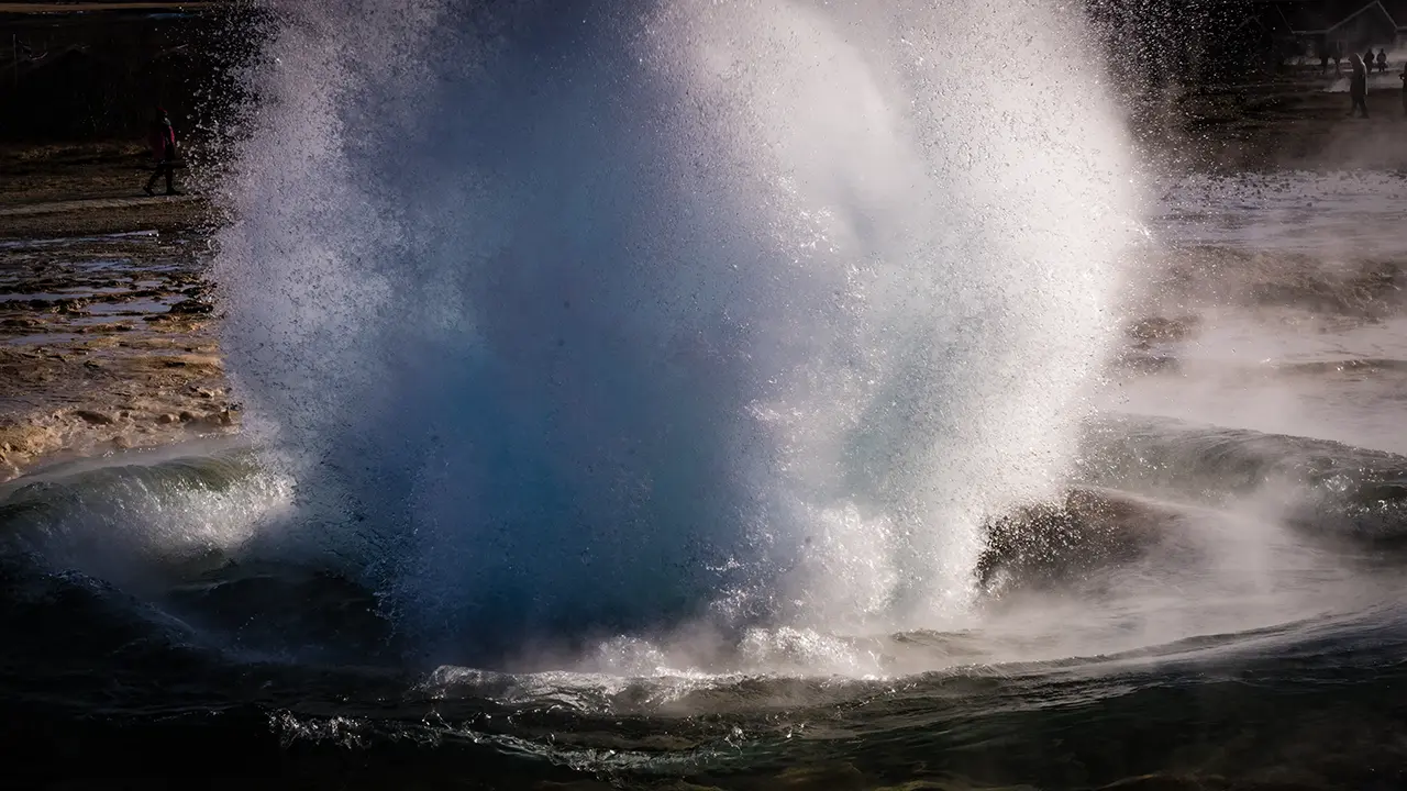
The performance, however, belongs to nearby Strokkur. Calling it a stand-in would hardly do it justice. Every five to ten minutes, it sends a column of hot water some 20–30 meters into the air, occasionally reaching around 40 meters. Yet the height is only part of the spectacle. First, the surface swells into a shimmering blue-green dome. Then it bursts, water shoots upwards, and everything falls back into the pool. I found the whole sequence fascinating.
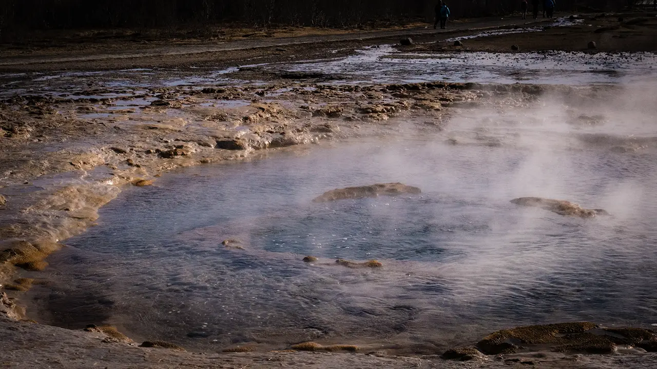
There is plenty to see between eruptions, too. More than 40 other geothermal features dot the area, including small hot springs, geysers, bubbling mud pools, and steam vents.
The illustrious name: Geysir
Strokkur geyser
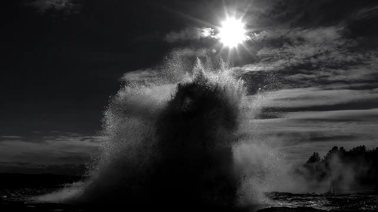
Strokkur: a photograph I tried in black and white
Strokkur in sequence: the green bubble swells, erupts, and collapses
Gullfoss
Gullfoss is on the Hvítá River, which crosses what looks like an ordinary plain, then suddenly tumbles down two levels into a deep gorge. A waterfall in the middle of a plain? Somehow, that was not where I expected to find one.
Reading about the geology afterwards helped me understand what I had seen. The river has cut down through layers of rock that differ in their resistance to erosion. Softer material wears away more readily, while harder layers remain as ledges over which the water falls. The seemingly level landscape conceals a much more complicated structure beneath.
How the gorge itself formed is still a matter of debate. One explanation points to an enormous glacial outburst flood near the end of the last ice age. Another gives the Hvítá a longer role, gradually carving the gorge as the glaciers retreated. The latter is considered more plausible in the nature reserve's geological account. What had looked like a waterfall appearing out of nowhere began to make more sense. The plain was only the surface of the story.
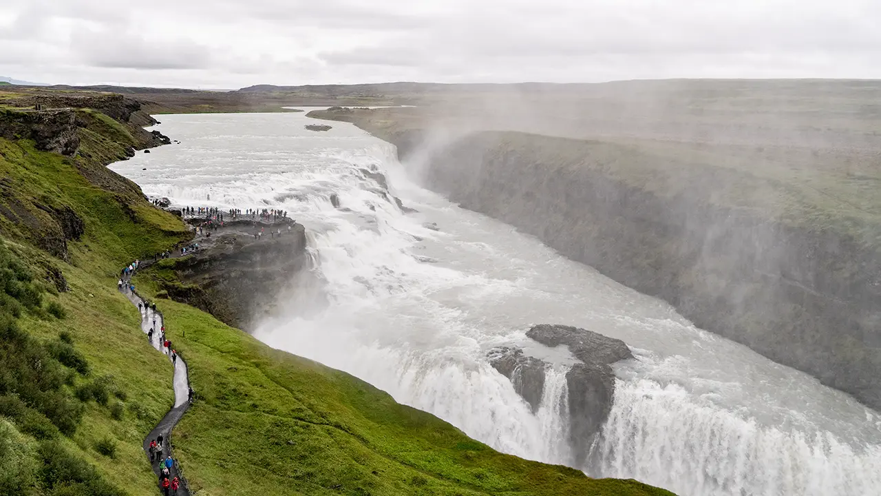
I took in the whole scene from the nearby upper lookout—the panorama in the first photograph.
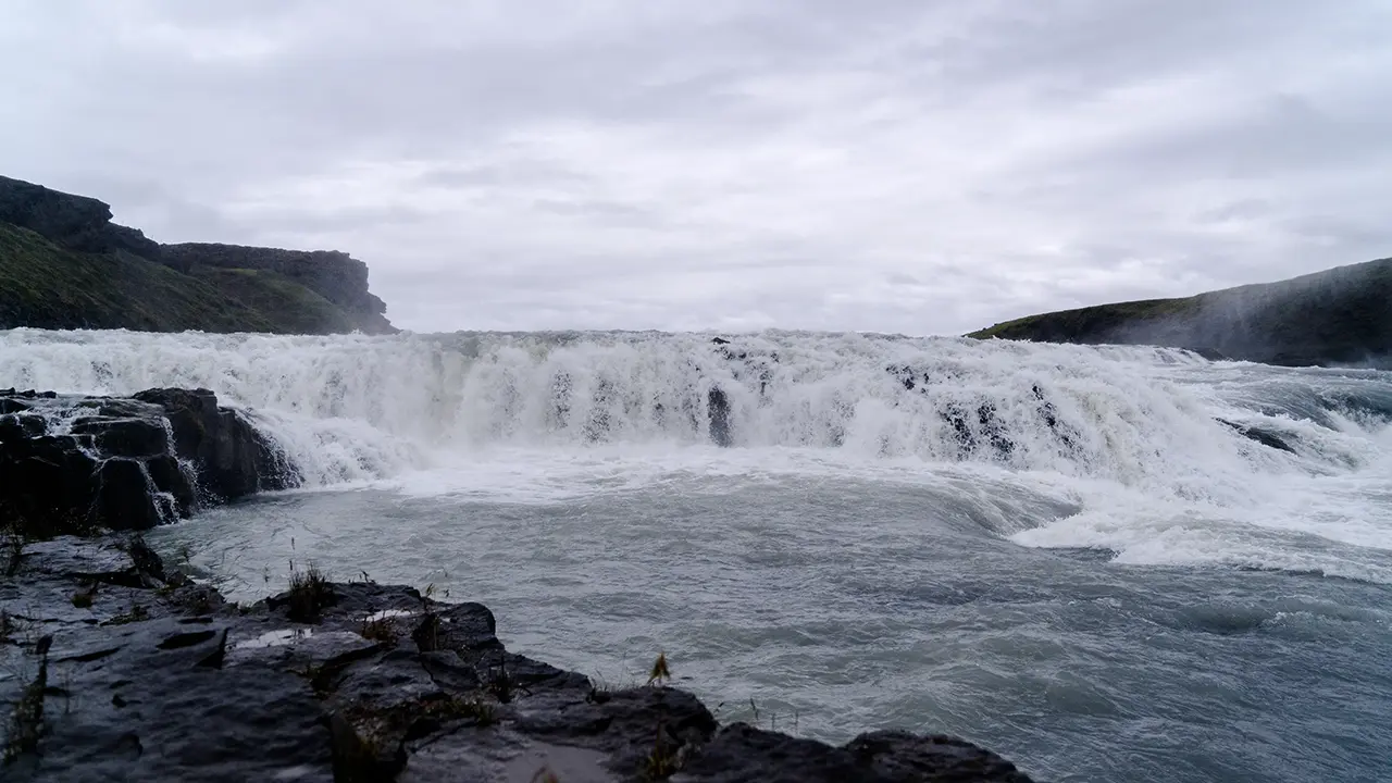
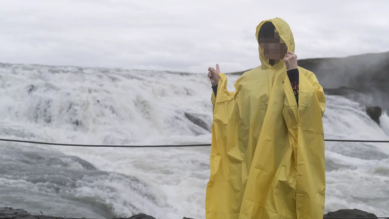
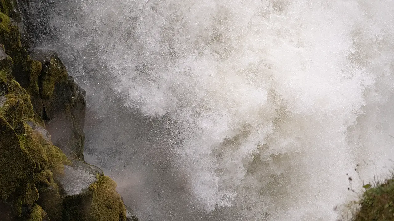
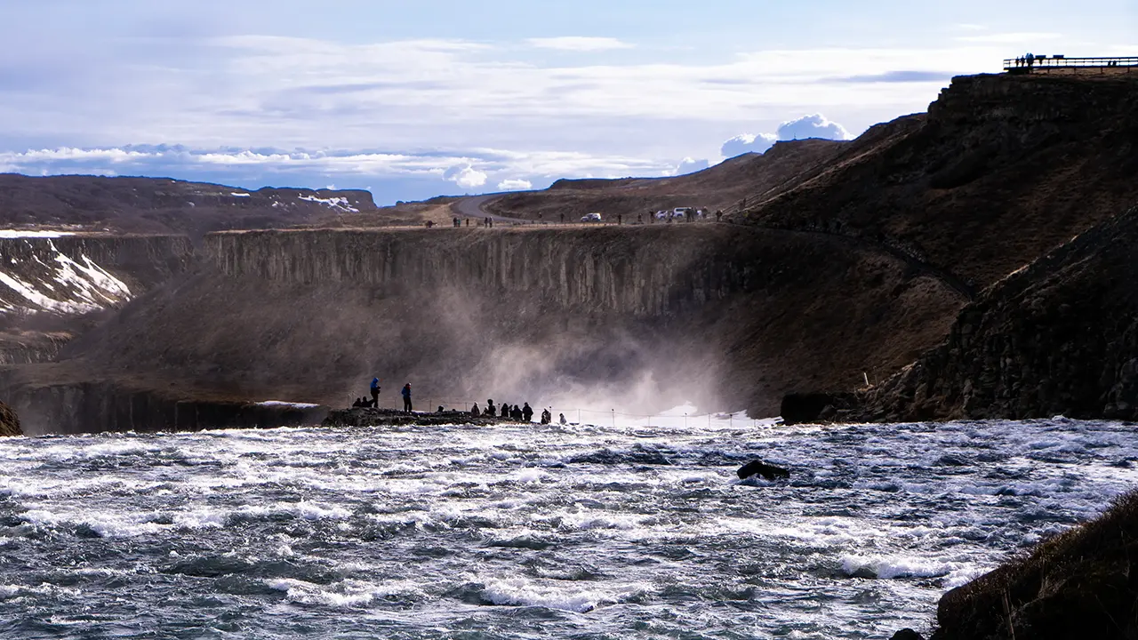
The lower lookout has a definite sense of "I made it!" Naturally, a photograph to mark the occasion is hard to resist. The view of the falls as a whole is limited, but their power is unmistakable, with spray adding to the experience. For photographing the falls themselves, though, I preferred a spot just short of the lookout, where the path runs beside the lower cascade. That is where I took the fifth photograph.
A panoramic view from the upper lookout
The upper cascade from the lower lookout on the rock
The obligatory souvenir photograph
The lower cascade
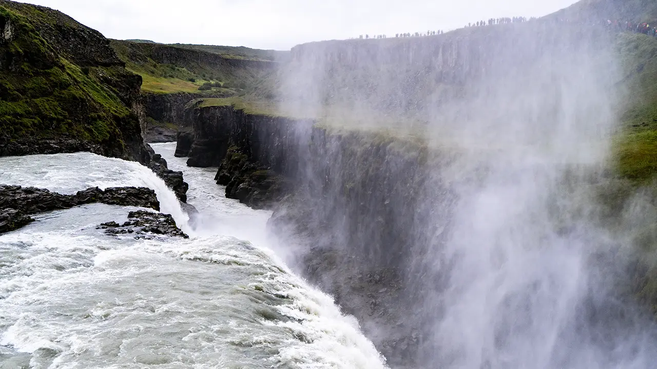
The full force of the falls, just before the lower lookout
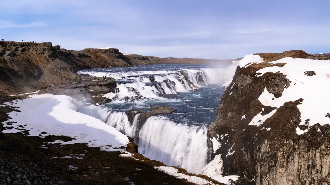
From the upper lookout, in April
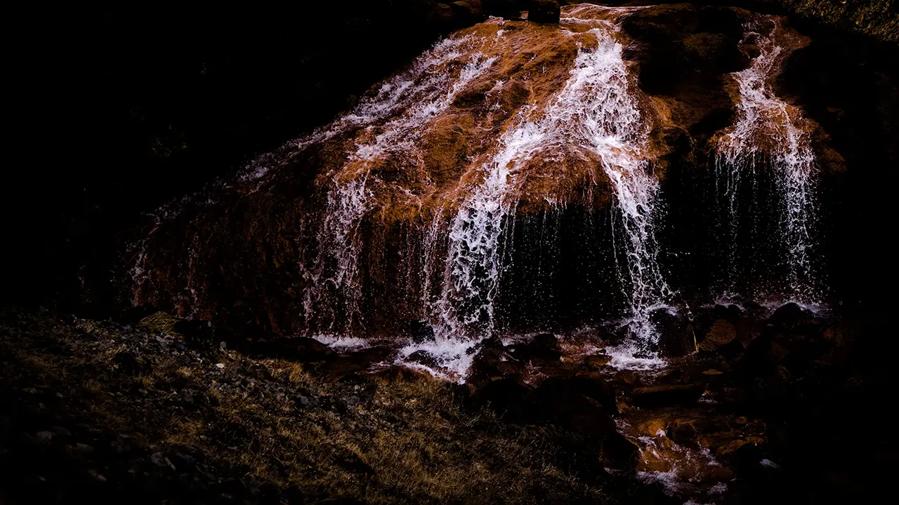
A red waterfall just north of the fenced area
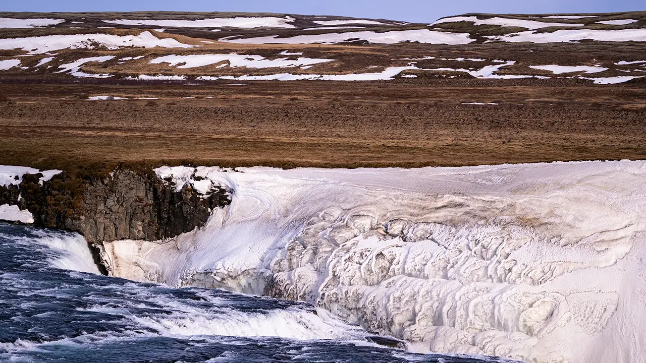
The opposite bank, seen from near the red waterfall Beautiful patterns in the clinging ice
The lower lookout, seen from near the red waterfall The lookout seems to float on its own
The photographs from the sixth onwards were taken on my first visit in April. The seventh shows a small stream just beyond the fence to the north of the falls. It joins the Hvítá, but what caught my eye was the reddish color of its rocks, so different from the surrounding ground. I wondered whether the water had picked up iron as it seeped through volcanic rock underground. On reaching the surface, the dissolved iron could have reacted with oxygen in the air, leaving rust-colored deposits on the rocks.
Beside the thunder and turmoil of Gullfoss, this little stream flowed quietly on. Two very different moods of water, almost within touching distance of each other.