The Svartifoss Loop I walked in Vatnajökull National Park is a hike of one spectacular view after another: Svartifoss waterfall, Iceland's highest peak Hvannadalshnúkur, Svínafellsjökull glacier, and more.
Svartifoss Loop
Iceland
Powered by Google Translate
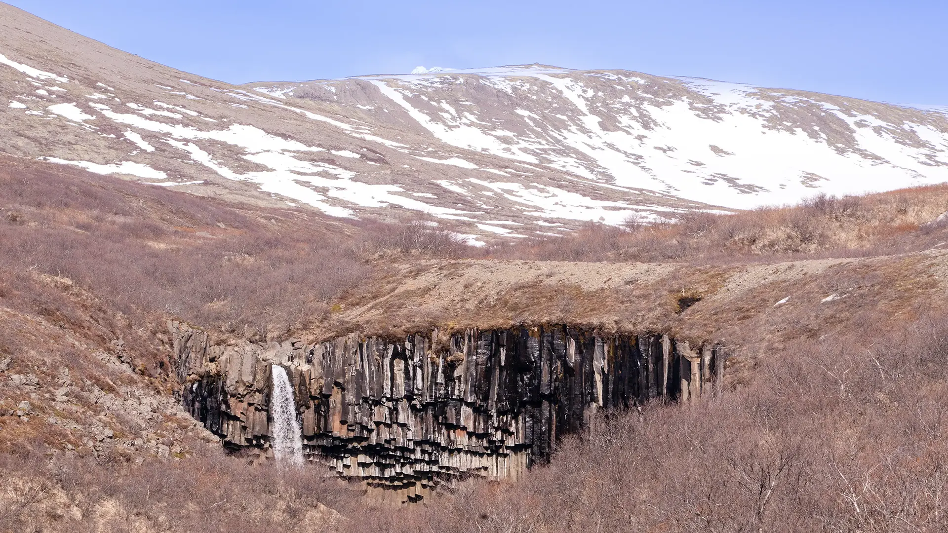
What on earth is this?! The waterfall that stopped me in my tracks.
I walked uphill from the parking lot at Skaftafell, following the Stórilækur stream and Bæjargil ravine until Svartifoss came into view. The path brought me to a point above the plunge pool, and I descended to the level of the pool.
About 300,000 years ago, lava flowed down from the Skaftafellsheiði uplands and filled an old river channel. As it slowly cooled, it contracted and split into columns, forming the dark basalt cliffs around Svartifoss. The river flowing through Bæjargil then wore away the base of the cliffs. With their support undermined, sections of rock above collapsed, causing the cliff face to retreat upstream. This repeated process of erosion and collapse is thought to have shaped the waterfall we see today.
Glaciers and running water have also shaped the surrounding valleys and slopes. Thinking about how they formed, I realized that my walk had taken me through more than just beautiful scenery. The trail to Svartifoss traced a landscape shaped over hundreds of thousands of years.
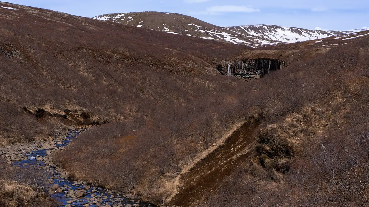
Glimpses of the falls upstream
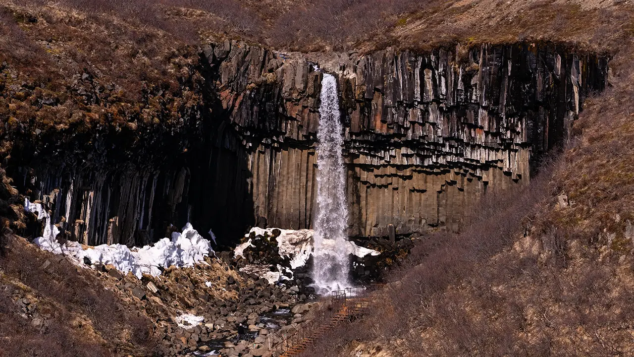
Looking down towards the falls
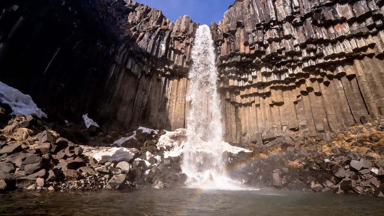
Down by the plunge pool. Made it!
I didn’t want to retrace my steps, so I took the route farther east, marked S6 at the time. What a choice that turned out to be—one breathtaking view after another!
Beyond the falls, a brilliant white expanse suddenly opened up before me, almost dazzling against the blue sky. I barely remember the walk itself. I was too busy taking in the scenery.
I looked up the names of these mountains and glaciers while writing this travelogue. Here is what I found.
Kristínartindar stands to the left, towards the north, with the vast, gently sloping expanse of Vatnajökull stretching away behind it. A jagged white shape rises to its right. This appears to be a nunatak—a rocky peak projecting above the surrounding ice.
My gaze followed the upper reaches of Skaftafellsjökull farther to the right. Above the glacier, Hvannadalshnúkur, Iceland’s highest peak, peeks through the clouds.
Farther right again, the upper reaches of Svínafellsjökull come into view. An iceberg-like peak rises above them, apparently one of the summits of Hrútsfjallstindar.
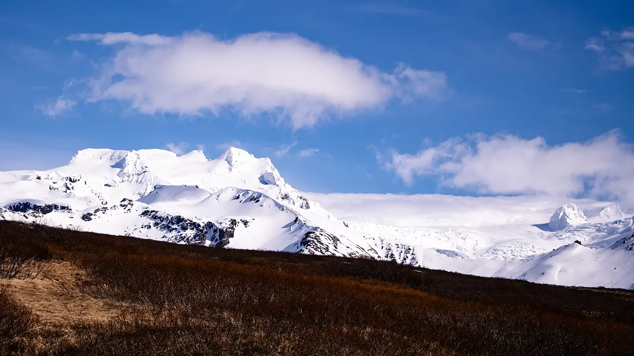
Vatnajökull stretching away to the north
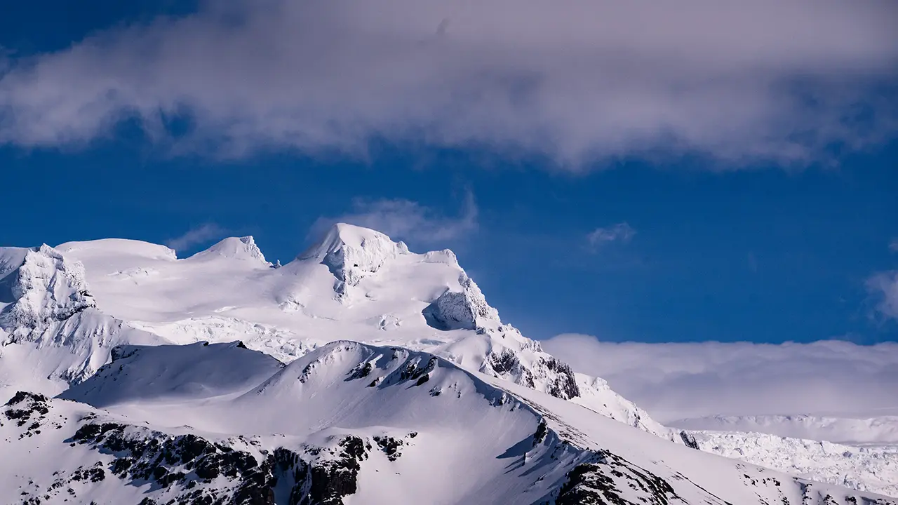
Kristínartindar on the far left
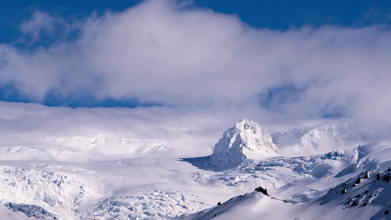
A rather cute nunatak, like a rolling snowball
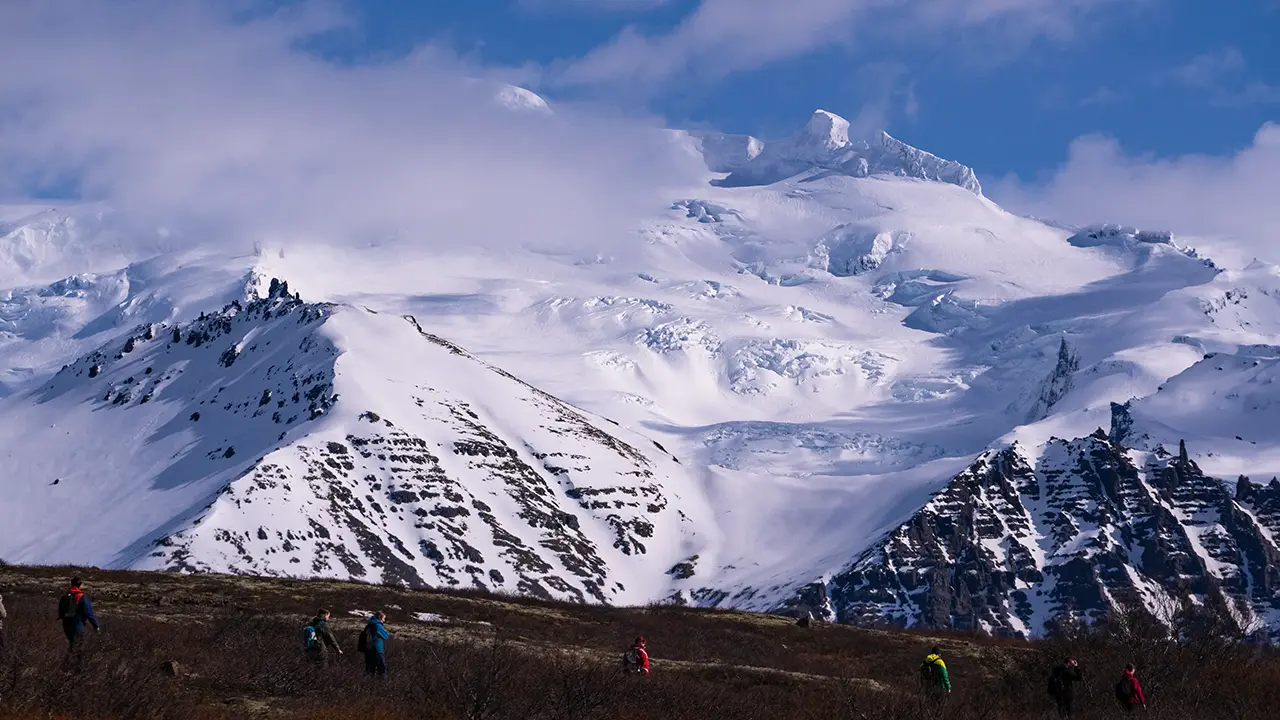
The imposing upper reaches of Skaftafellsjökull
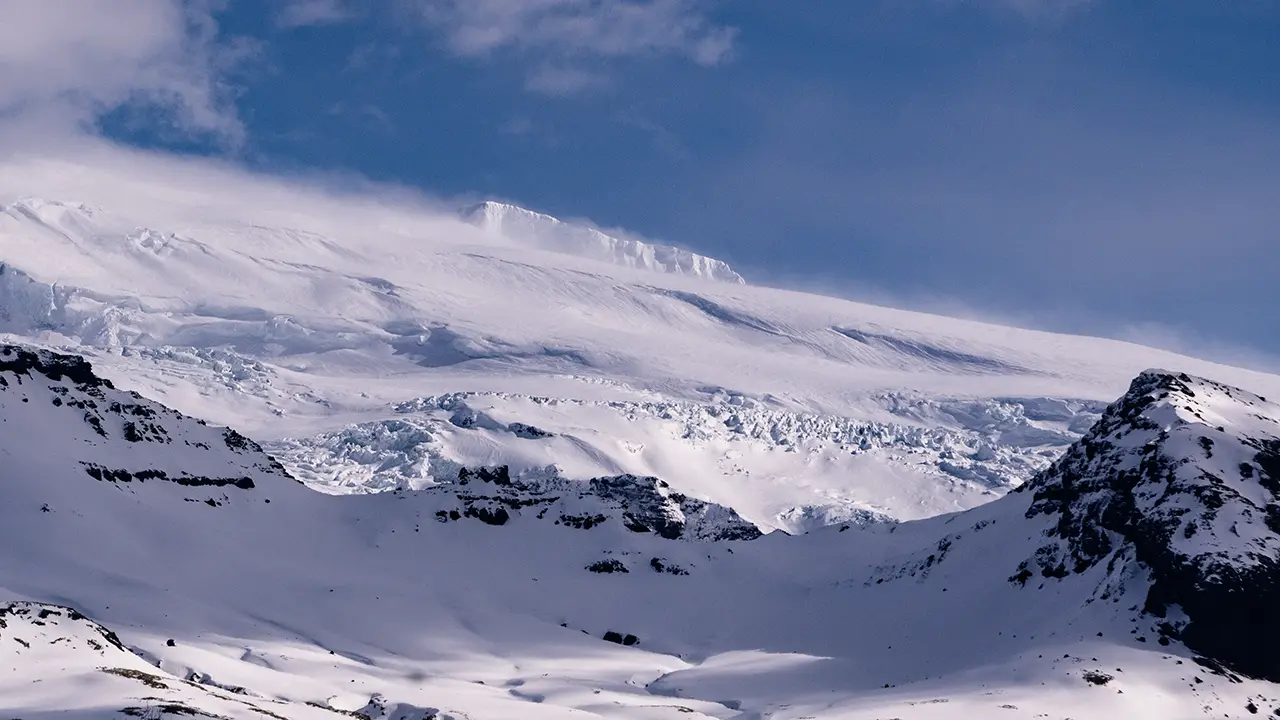
Svínafellsjökull, with an iceberg-like peak above
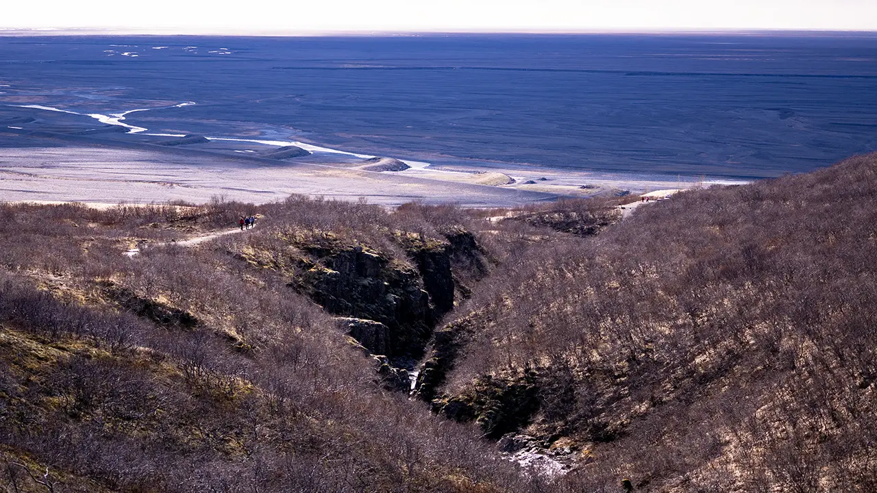
The path down the valley,
with the slightly eerie black sand plain below
with the slightly eerie black sand plain below
It was a wonderfully refreshing walk of about two hours.
I reached the parking lot and found that the view was just as beautiful from below. I went a little farther away to take some more photographs.
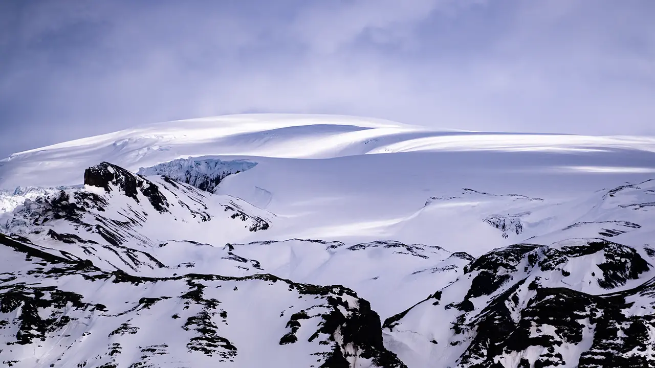
A snow-covered dome towards Öræfajökull
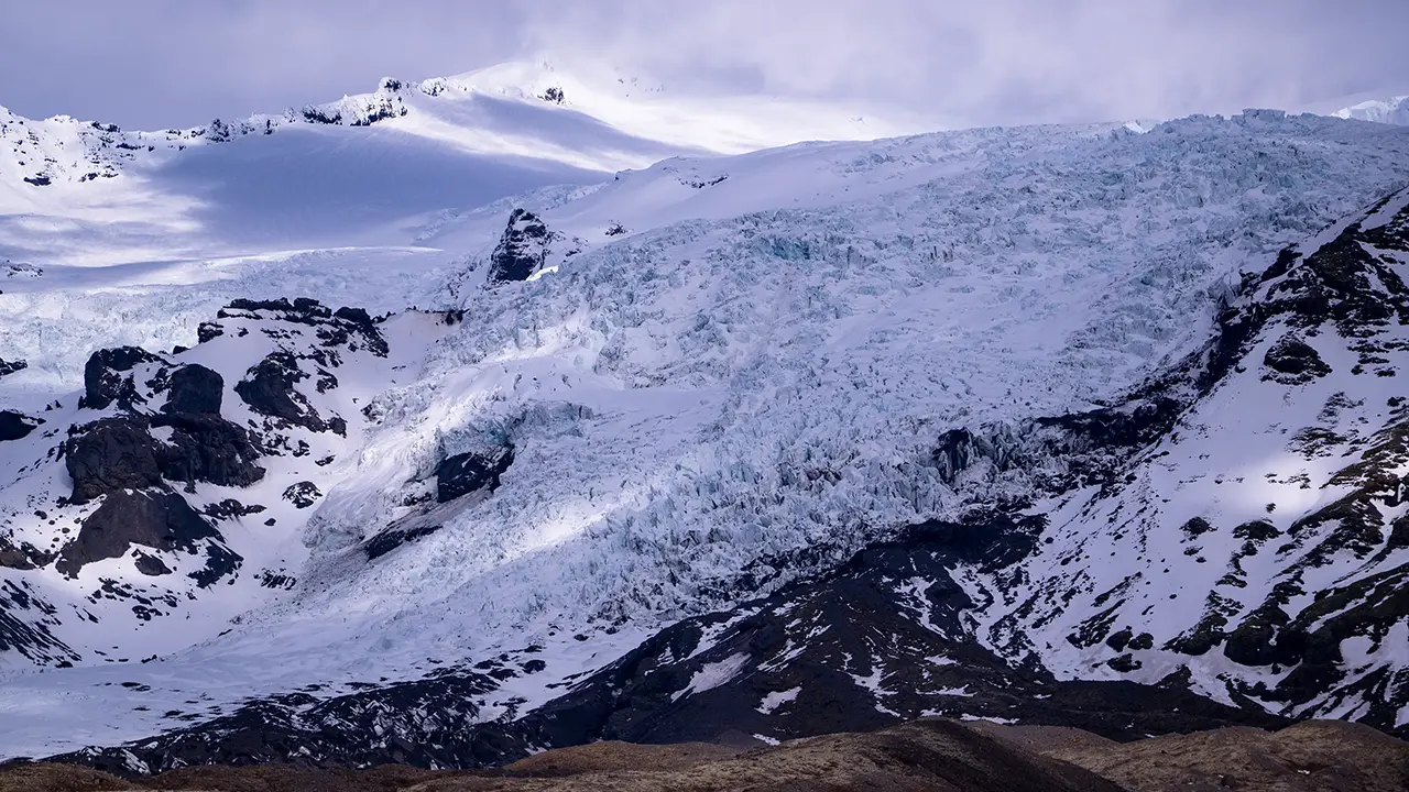
The Skaftafellsjökull glacier tongue
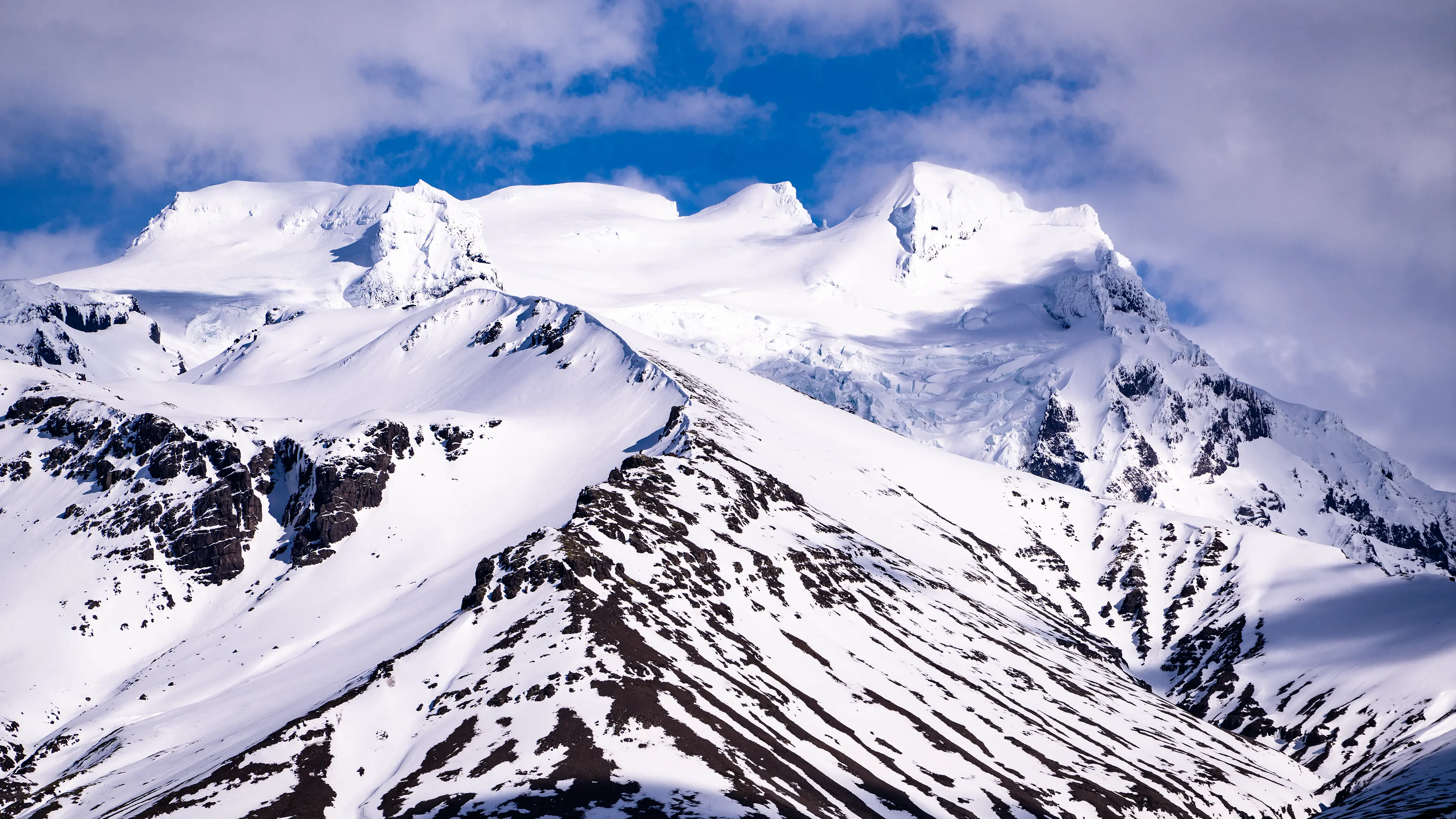
Hvannadalshnúkur, Iceland's highest peak
There was one other thing I had hoped to do in April: see a blue ice cave. I asked about joining a tour at the Skaftafell Visitor Centre, but was told that the caves had already closed for the season because of the risk of melting and collapse. Visits had ended in March, so I had to give up the idea. Nature, unfortunately, doesn’t always go along with our plans.
Of my two trips to Iceland, the April hike on the Svartifoss Loop gave me some of the most memorable and impressive scenery of all.