The Reykjanes Peninsula extends from the southwest of Iceland. Reykjavík, the capital, lies near its base, while Keflavík, home to the international airport, is on the peninsula itself.
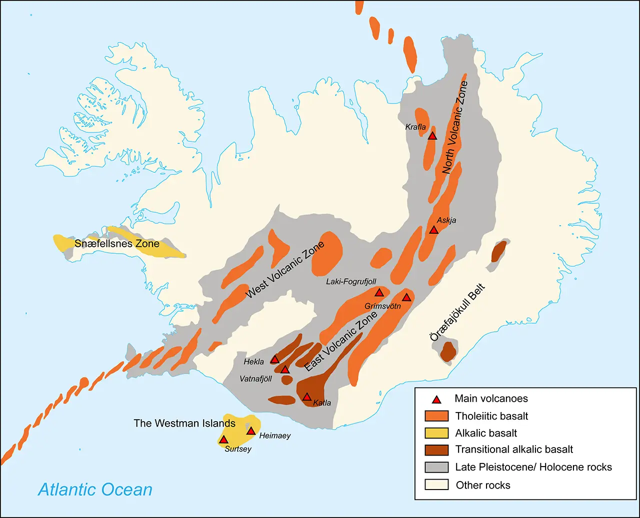
Volcanoes of Iceland Source: Wikipedia
The peninsula is also a volcanically active area. As I mentioned in "Three Forces That Shape Iceland," fissure eruptions have been occurring on and off in recent years around the Sundhnúksgígar crater row, not far from the Blue Lagoon. Another eruption in July 2025 sent out large amounts of lava.
Information about the eruption areas is available on visitreykjanes.is, which is updated as necessary.
That gives some idea of the sort of place this is.
I visited twice in 2016, in April and August. Here, I have grouped photographs from both trips by area, working from east to west.
Selfoss
Selfoss is at the western end of the South Coast, and also makes a starting point for a drive to the Reykjanes Peninsula, leaving the Ring Road for Route 34 and the roads beyond. It was the largest town in southern Iceland, though apparently its population in 2016 was just under 7,000. Once again, it left me with the feeling that everyone in Iceland must live in Reykjavík.
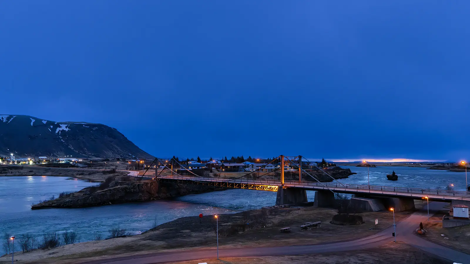
This photograph looks down on the bridge over the Ölfusá River, which carries one of the largest volumes of water of any river in Iceland. Beside the bridge is the roundabout in the center of town where the Ring Road turns right.
A night view—or rather an early-morning view—from the hotel window
I first headed south to the coast, then turned west along Route 34. Near the mouth of the Ölfusá River, a long, narrow sand spit reached out from the west, leaving only a narrow outlet for the river. I crossed the bridge over this channel and drove on with water stretching alongside the road on my right, inland. It looked like a lagoon formed at the river mouth. Where Route 34 met Route 38, I turned left and headed south, then joined Route 427. Once the Atlantic came into view, I felt I had arrived on the Reykjanes Peninsula.
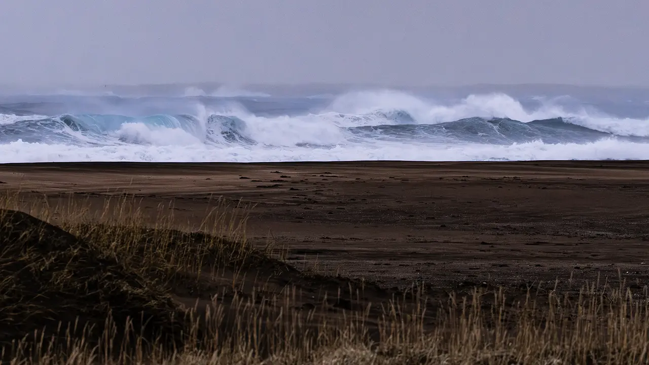
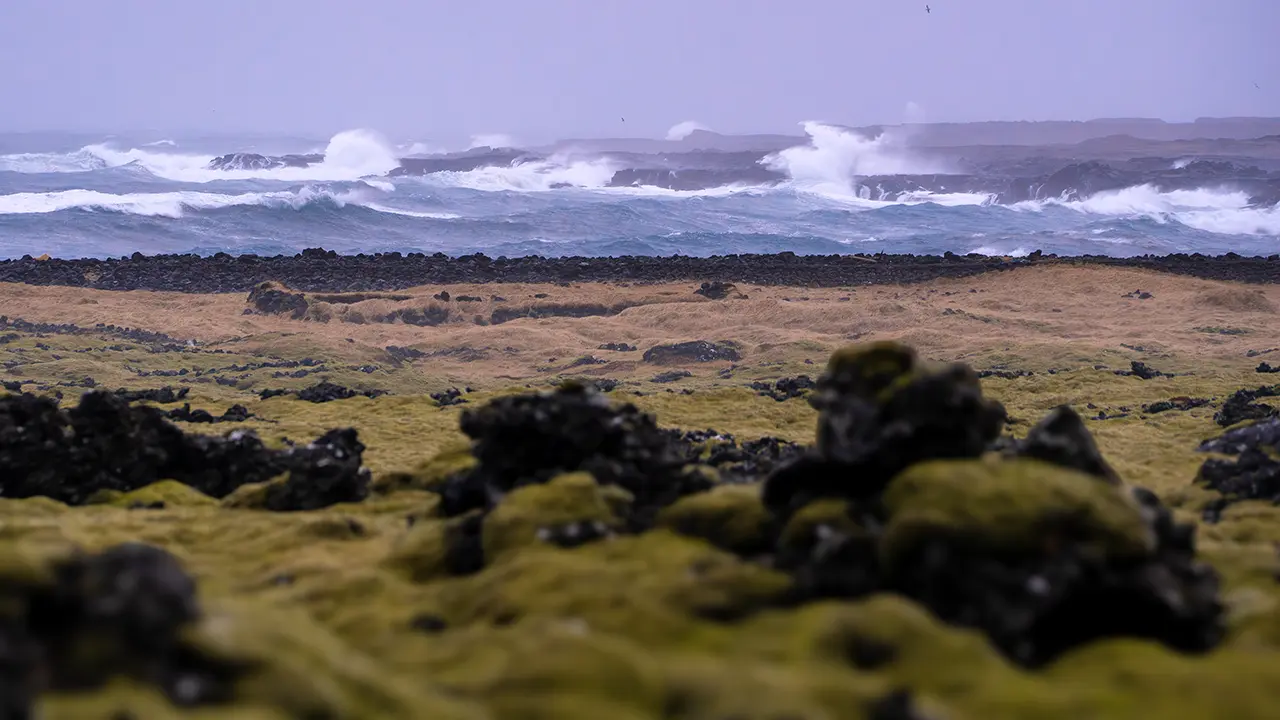
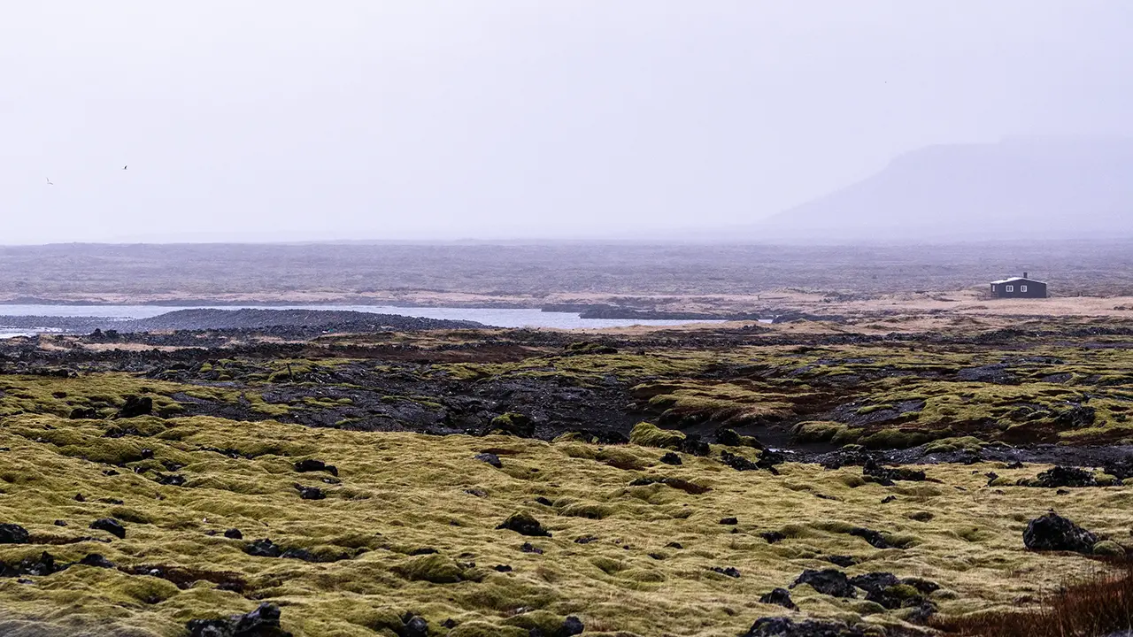
For about 50 km, I drove through a landscape of sand plains and lava fields, with patches of moss and shrubs here and there. Wilderness was the only word for it. Every so often, I caught sight of white waves breaking in from the Atlantic.
In the third photograph, a single building stands all on its own. Apparently, this area was once a fishing base, with many huts used by fishermen. I do not know whether this building had anything to do with them, or whether it is still in use. Either way, there was a loneliness to the scene that struck me.
At the junction with Route 42, I turned right into the hills.
Lake Grænavatn
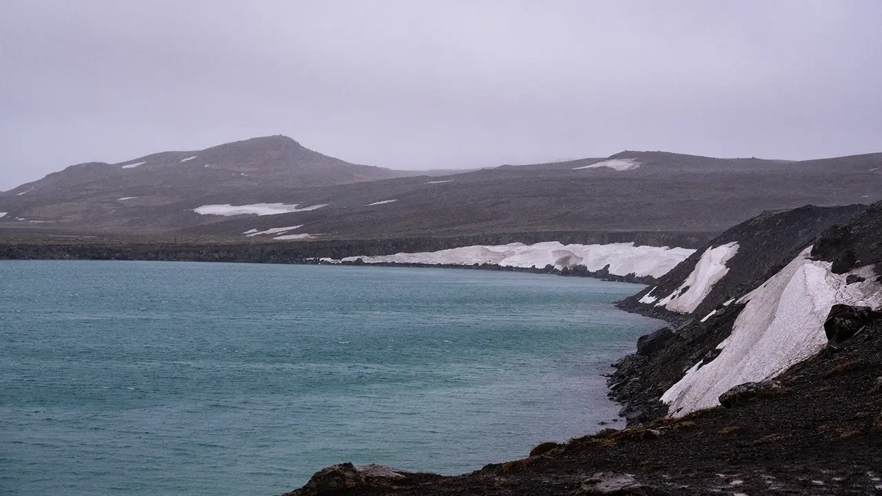
A lake came into view on the right of Route 42. Even in the rainy weather, the green of the water was vivid. It is called Grænavatn, apparently meaning "green lake." A name that made perfect sense. It is thought to be a crater lake formed when water filled a crater left by an explosion about 6,000 years ago, when magma came into contact with groundwater. A young lake—in geological terms.
I really felt I had entered an active volcanic area. Across the lake, I could see steam rising from the ground.
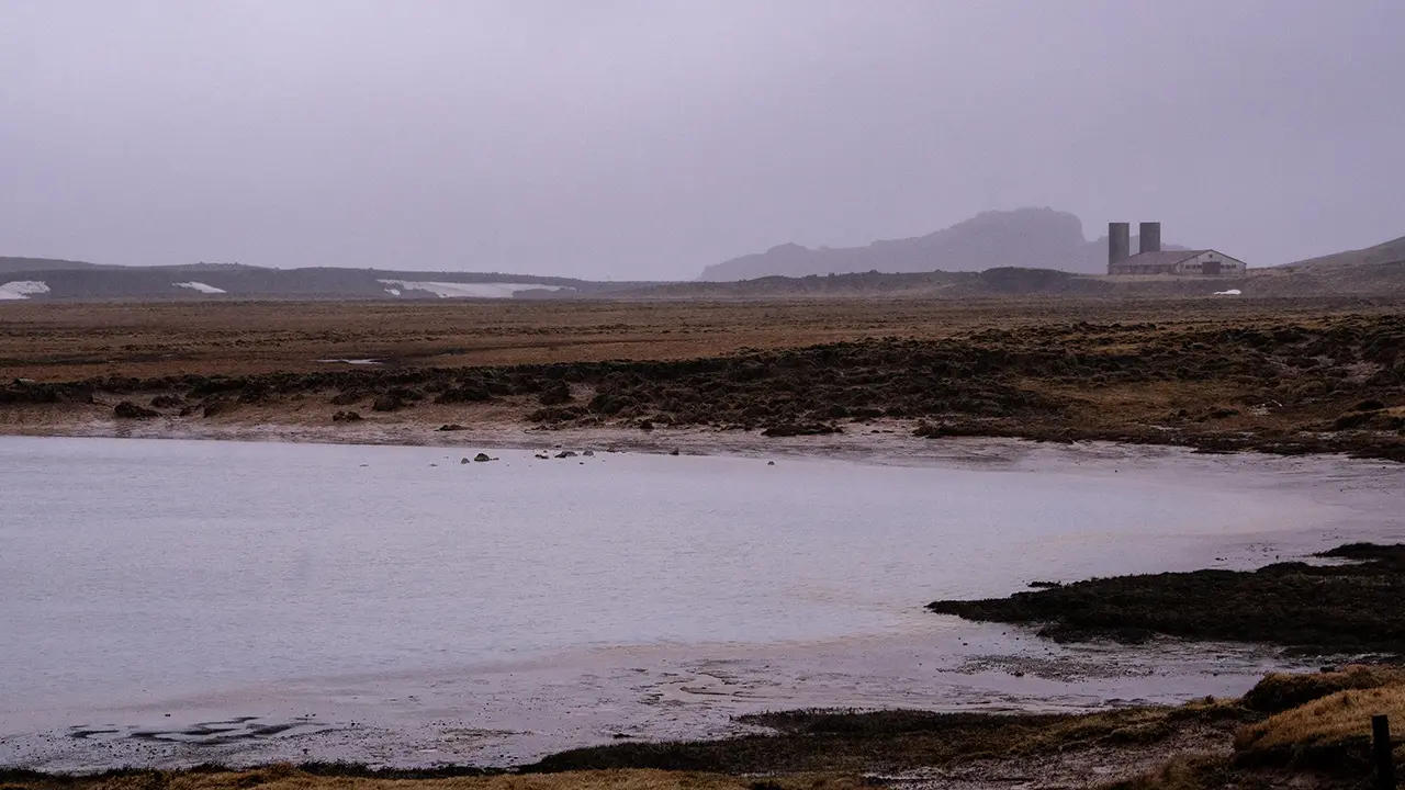
The fairly large structures that appear in the third photograph are apparently a cowshed and silo left behind when a large-scale dairy-farming project fell through in the 1950s. I do not know what conditions were like in the 1950s. On my visit in 2016, though, I wondered whether grass for grazing could even grow here. Perhaps the rain and gray sky made the place seem even less promising.
Seltún Geothermal Area
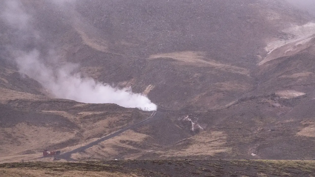
The area where I had seen steam across Grænavatn turned out to be Seltún. Beside Route 42 was a sign with its name and a photograph of steam rising from the ground. There was a proper car park too.
In the car park, there was a trail map and an information board explaining the area. According to the board, the mud pools and steam vents at Seltún are constantly changing. In autumn 1999, for example, Drottningarhola, the "Queen’s Hole," exploded, creating a large mud pool. Various gases come out with the steam, including hydrogen sulphide, which gives hot-spring areas their familiar smell. Sulphur compounds make the spring water acidic, so plants struggle to grow. Sulphur was once mined here and exported from Iceland for use in gunpowder. That was the gist of it. If sulphur had been mined here, I supposed people must have had a hand in shaping this landscape too.
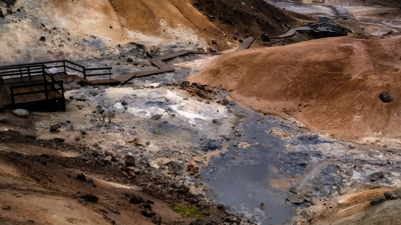
The wooden boardwalk made it easy to walk around.
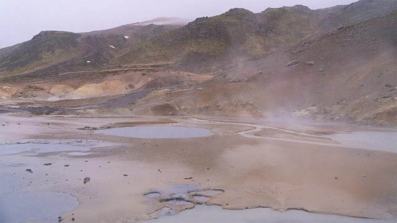
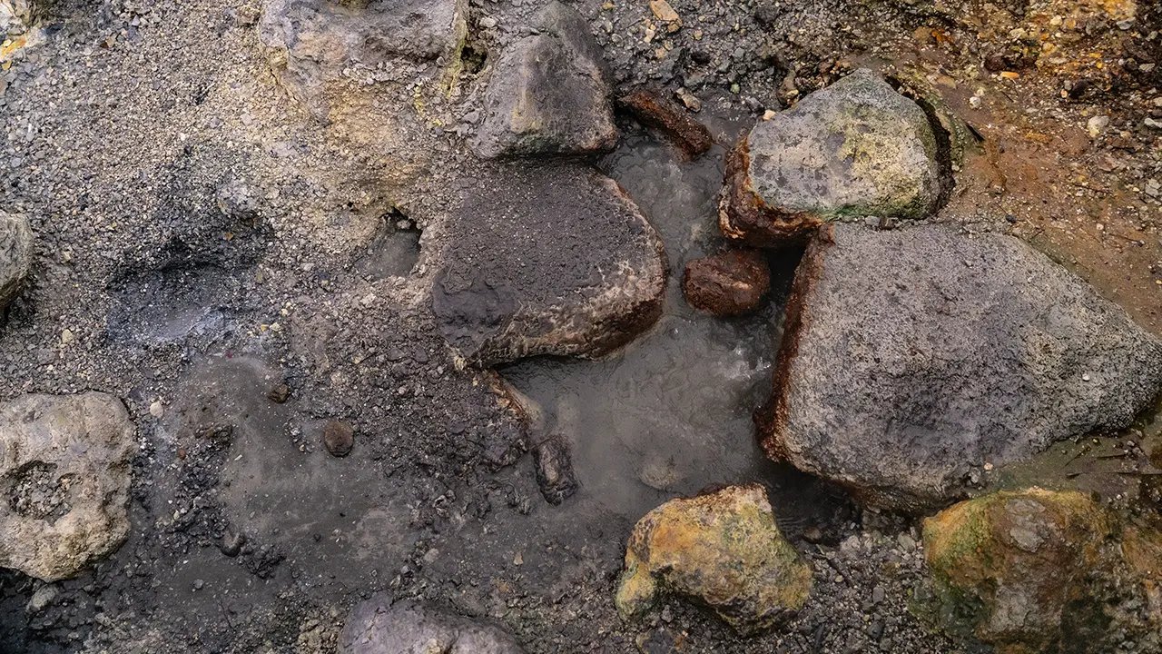
This is the view from the first terrace, the one I could see from the car park. With the rain falling, I could not tell whether the pools had formed around springs or were simply rainwater collecting on the ground. In some places, though, water was definitely welling up, as in the second photograph. Hot water, perhaps? The third photograph looks back towards the car park from the terrace farther in. Some patches were stained yellow, which I took to be sulphur, and others white, perhaps silica.
Lake Kleifarvatn
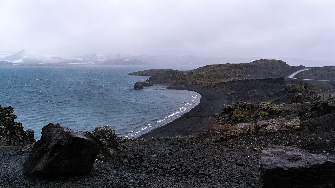
Heading north after leaving Seltún, I came to a fairly large lake. It stretches for more than 5 km from north to south alongside Route 42. This is Kleifarvatn, apparently formed where water collected in the low ground between two lines of mountains running north–south. What puzzled me when I looked at the map was that there was no river flowing out of it. A little water flows in, but most apparently drains away underground through the porous volcanic ground.
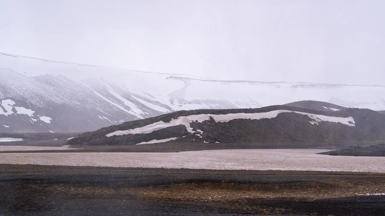
I took the third photograph about five minutes farther north. Here, the water was murky. Perhaps all that rain had been washing soil and sediment in from the surrounding land.
The Blue Lagoon
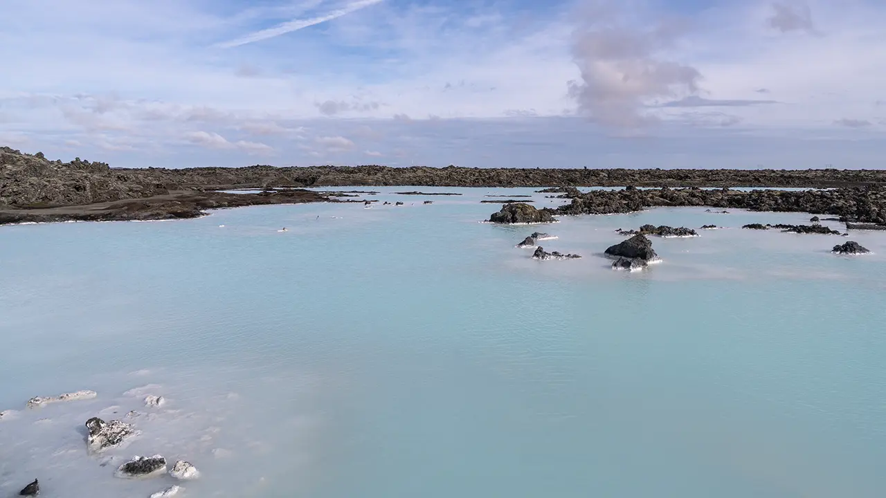
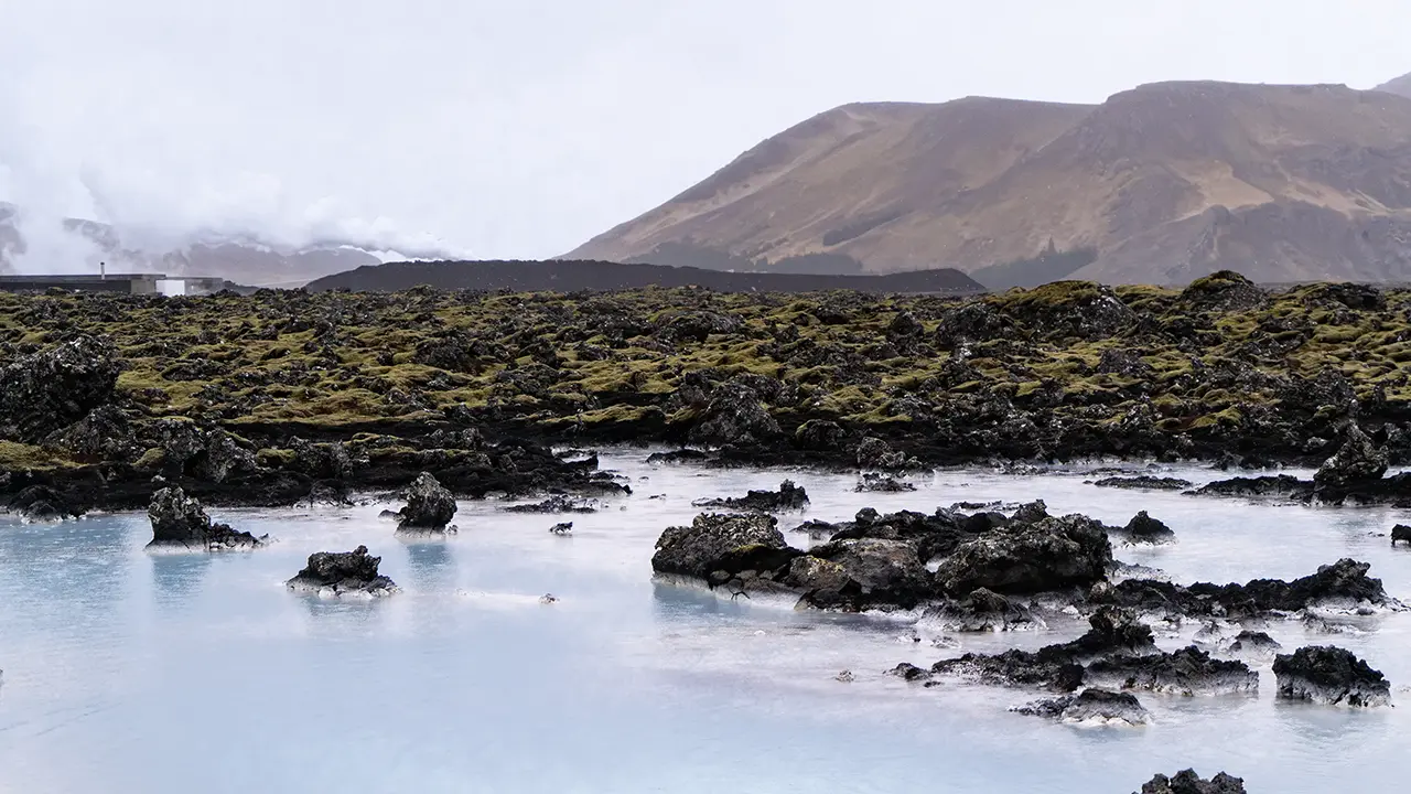
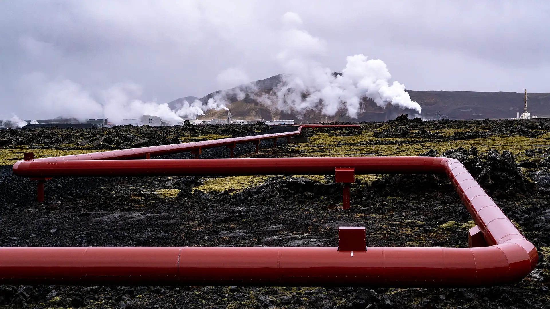
The Blue Lagoon turns up in almost every guide to Iceland. It was just as I had pictured it: a pale blue lake with steam rising from it, a large complex of facilities, and people in swimsuits enjoying the warm water. It was certainly busy and lively. I did not go in, though. Somehow, I just did not feel like it. In August, I walked around the area while the other tour members went in. The second photograph is from April and shows the surroundings: a lava plateau and moss. By now, these were familiar sights in Iceland. I also took the third photograph in April, looking towards the power station from Route 426. That view has stayed with me more than the Blue Lagoon itself.
I had imagined the Blue Lagoon as a large lake fed by natural hot springs. Not quite. The neighboring Svartsengi geothermal power station (Orkuver í Svartsengi) draws hot geothermal water from deep underground. In the 1970s, water discharged onto the lava field after use at the plant began to collect there instead of seeping underground. Apparently, the large amount of silica in the water had blocked the gaps in the lava, and that was how the Blue Lagoon began. So there was no natural hot-spring lake here waiting to be warmed by water from the power station. The lagoon itself was created by the discharged geothermal water. The water, though, is natural: seawater and freshwater mix about 2,000 meters underground and are heated by geothermal energy. The white mud-like material is silica that has come out of the water. Natural or artificial? It is hard to say quite where this place fits. Perhaps that was part of the reason I did not feel like saying, "A hot spring—let’s give it a try!"
As I mentioned earlier, repeated eruptions and lava flows in recent years have had a major impact here, with roads closed and protective barriers built. Even the scenery around the lagoon may look different next time I visit.
Gunnuhver
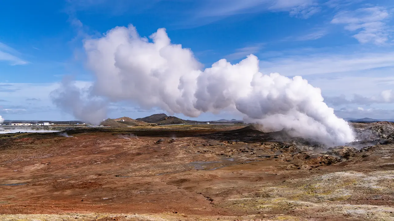
Gunnuhver is a geothermal area near the western tip of the peninsula—a little patch of hell.
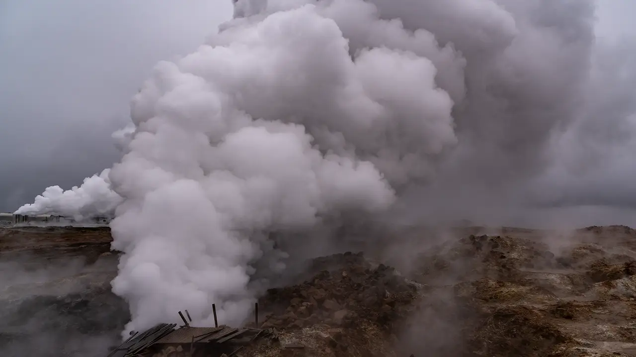
A wooden boardwalk took us close to a spot where steam was roaring out with tremendous force. Apparently, it came from a mud pool about 20 meters across, but the steam hid the pool itself.
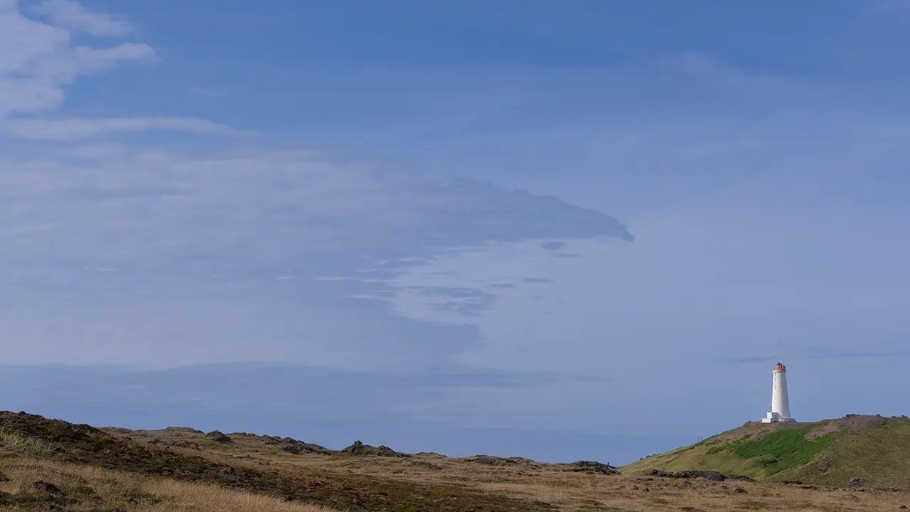
Near the sea, with a lighthouse in view.
It seemed more dramatic in April.
In the background of the first photograph is the Reykjanes geothermal power station, Reykjanesvirkjun. Apparently, it generates electricity using geothermal fluid drawn from about 2,700 meters underground, at temperatures of 290–320°C. Its cooling system is said to use around 4,000 liters of seawater every second to cool the steam after it has been used to generate power. Seawater cooling reminded me of accounts I had heard about the difficulties with seawater cooling at Fukushima Daiichi around the time of the hydrogen explosions. The method here would be different, though. Presumably it is part of the plant’s cooling system. A bit of a digression…
Valahnúkamöl
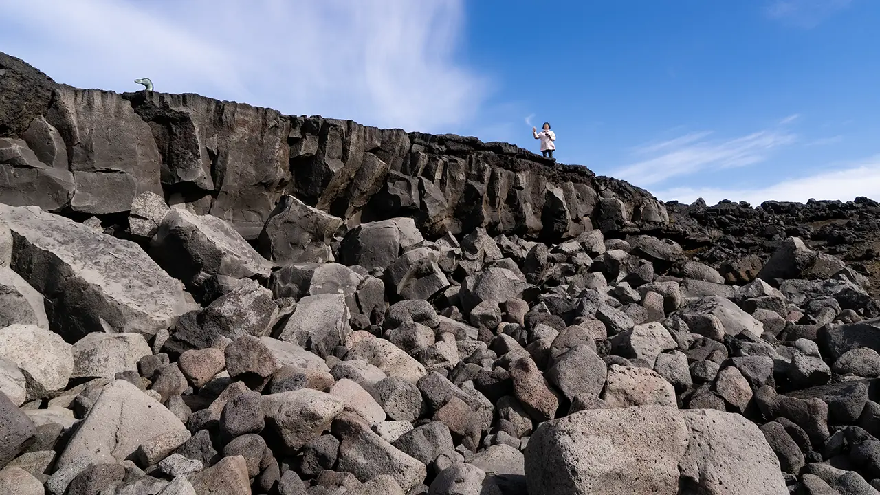
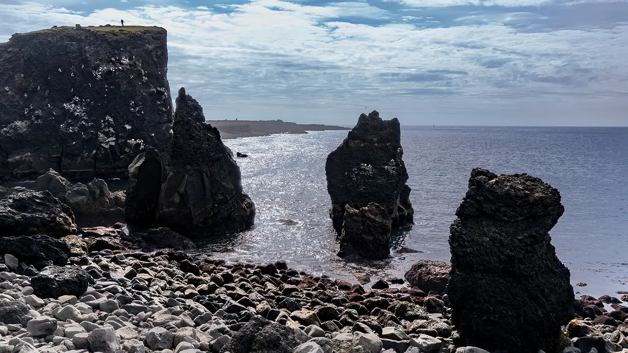
Near the western tip of the peninsula is the shore at Valahnúkamöl. Large rounded boulders were piled up facing the sea, to a height of about ten meters. Apparently, the powerful Atlantic waves had worn down the rocks, carried them here and built up this huge bank. Nearby, Valahnúkur had high sea cliffs, with rock towers left standing offshore as the sea wore away the land around them. I found myself thinking about the waves: eating away at the cliffs in one place, perhaps, while rounding off the broken rocks and piling them up in another.
In the first photograph, looking up at Valahnúkamöl, there is something like a penguin’s head at the upper left. It is a bronze statue of the great auk (Pinguinus impennis), which became extinct in the 19th century. This was a large flightless seabird that lived in the North Atlantic. Apparently, "penguin" was originally a name for this bird.
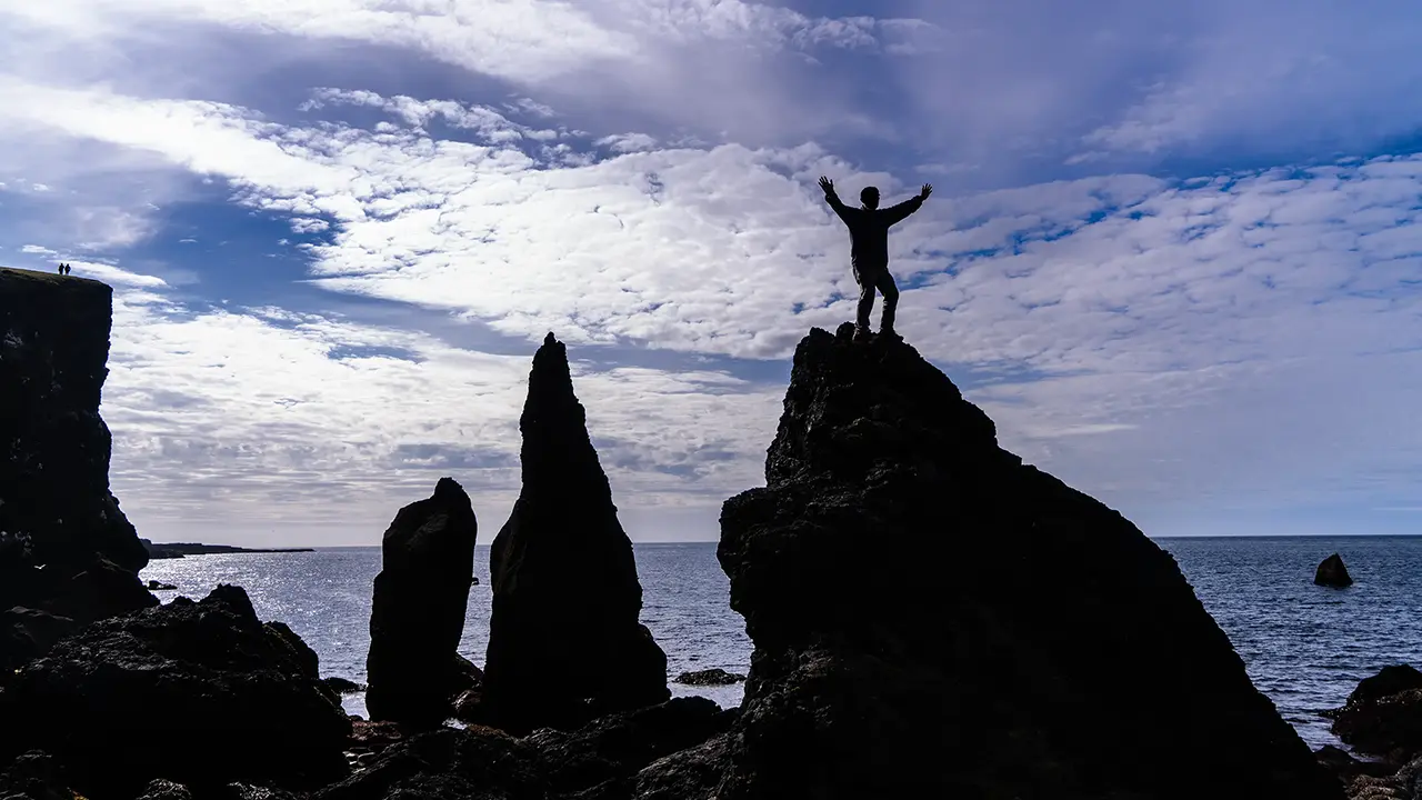
I remembered a photograph an acquaintance of mine, a photographer, had taken of a climber on a sharp peak in the Alps, and asked to have this one taken. Not my finest pose—I look as though my knees have gone weak. The rock was not all that high, but with the right angle I was supposed to look as though I were standing confidently on top of some towering pinnacle…
Bridge Between Continents (Brú Milli Heimsálfa)
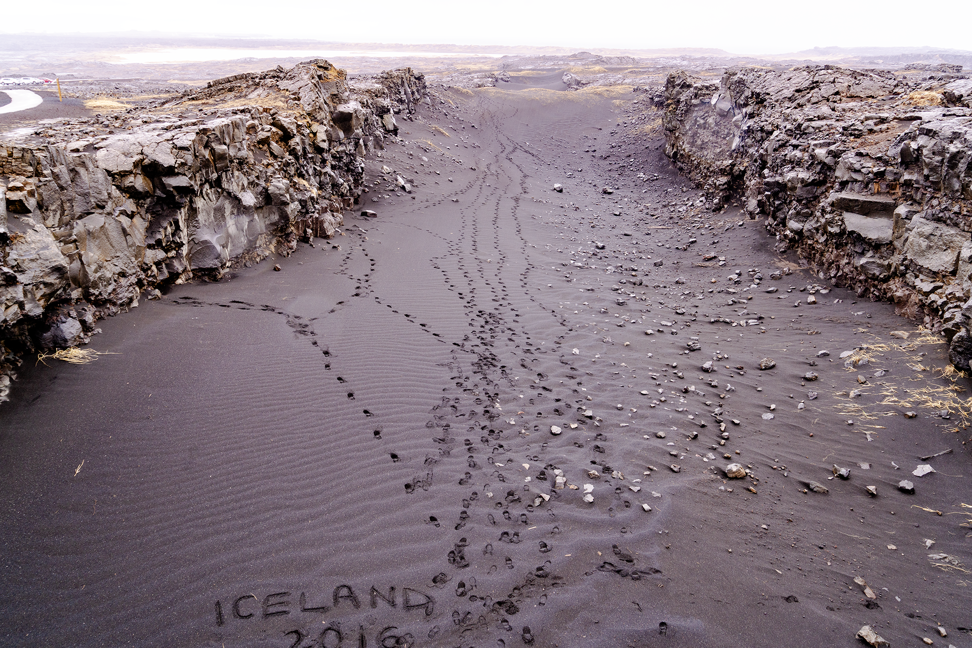
About 7.5 km north of Gunnuhver is a small footbridge called the Bridge Between Continents (Brú Milli Heimsálfa). This photograph looks south from the bridge. The words "ICELAND 2016" happened to make it into the frame. I had actually failed to notice them and cut some of the lettering off, but they made a nice memento of the trip.
Here, a fissure in the ground shows the effects of plate movement, one of the forces that shaped Iceland. Looking it up, I learned that Álfagjá, the fissure beneath the bridge, is one of several within the broad boundary zone where the North American and Eurasian plates move apart. A plate boundary makes me picture a single line on a map. In reality, though, it is a zone with some width, where the ground deforms and multiple fissures form. I suppose the idea of a bridge linking two continents is a symbolic way of making that geology easier to understand. Rather Icelandic, when you think about it.
While looking into it, I came across another connection. The bridge is also known as Leif the Lucky’s Bridge. Leif is Leif Erikson, an important character in the anime Vinland Saga who tells the protagonist about the new land of Vinland. Apparently, he was a Viking with ties to Iceland, believed to have been a real person and to have reached North America around AD 1000, long before Columbus. I never expected to find a connection to Vinland Saga here. All sorts of interesting things turn up.