The Snæfellsnes Peninsula lies in western Iceland, with the Westfjords (Vestfirðir) across the bay of Breiðafjörður to the north. We visited Snæfellsnes on our 2016 trip. It has many of the sights associated with Iceland: Snæfellsjökull glacier, Kirkjufell mountain, sheer cliffs, beautiful waterfalls and quiet fishing villages. With so much in one area, it is often called "Iceland in miniature." It is also within reach of Reykjavík for a day trip, about 200 km away, which helps make it a popular place to visit.
The Coast at Arnarstapi
Arnarstapi is on the southern coast of the peninsula, where basalt cliffs, sea caves and oddly shaped rocks line the shore.
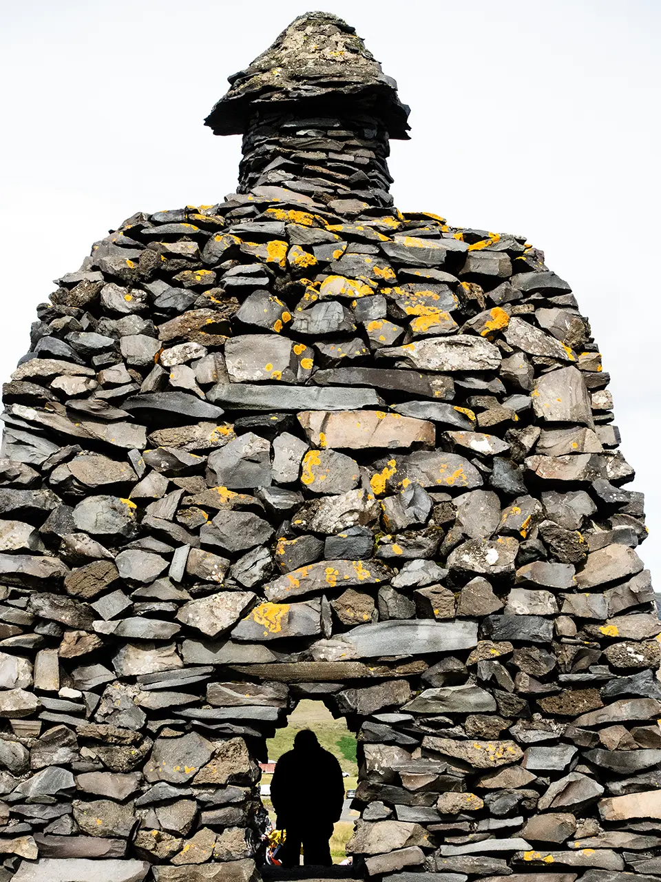
We walked straight from the car park towards the shore. On the way stood a statue built from stones, representing Bárður Snæfellsás. Apparently, he is a half-human, half-giant figure from Icelandic legend. I was not particularly interested in the legend, so I just had a bit of fun with the statue.
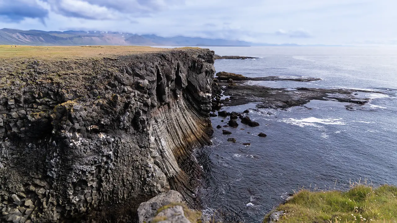
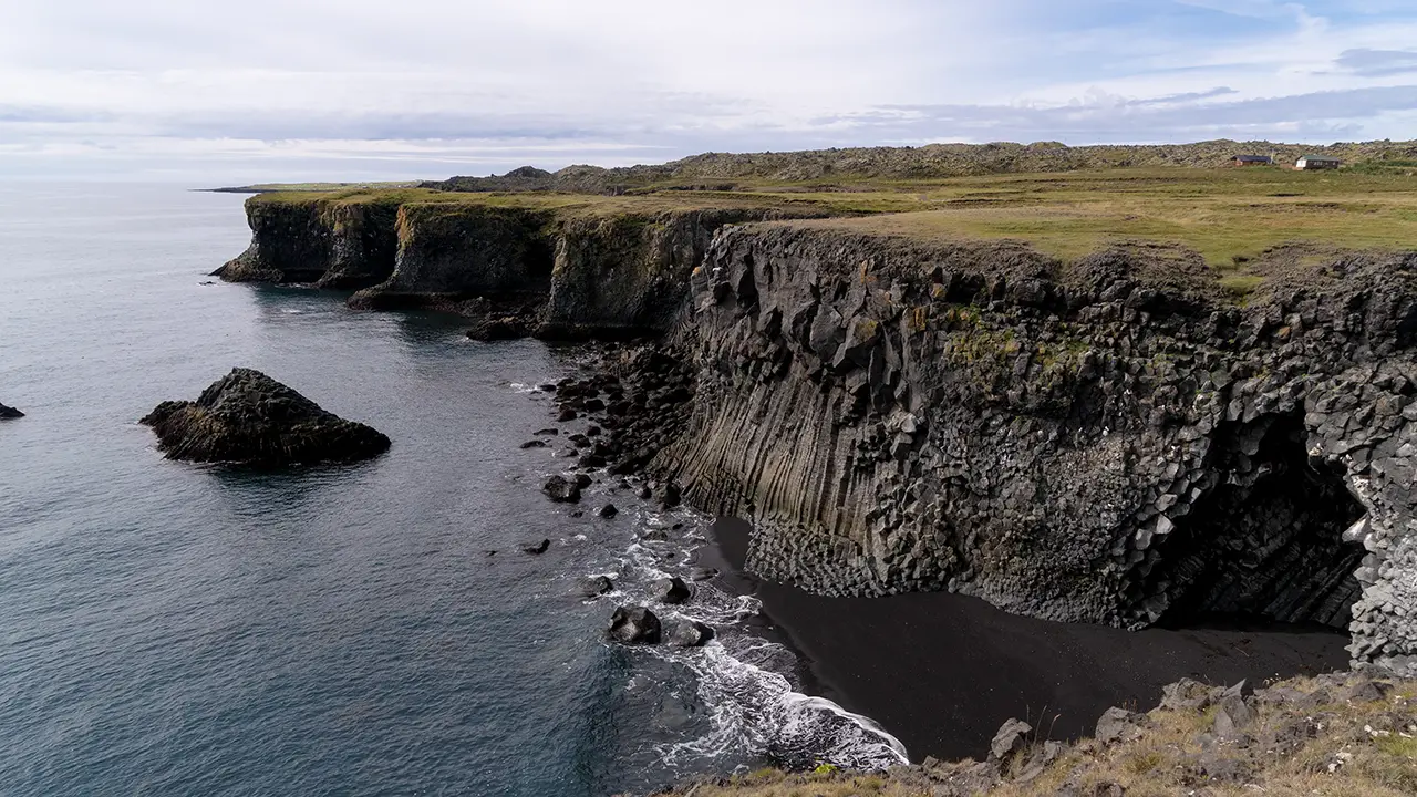
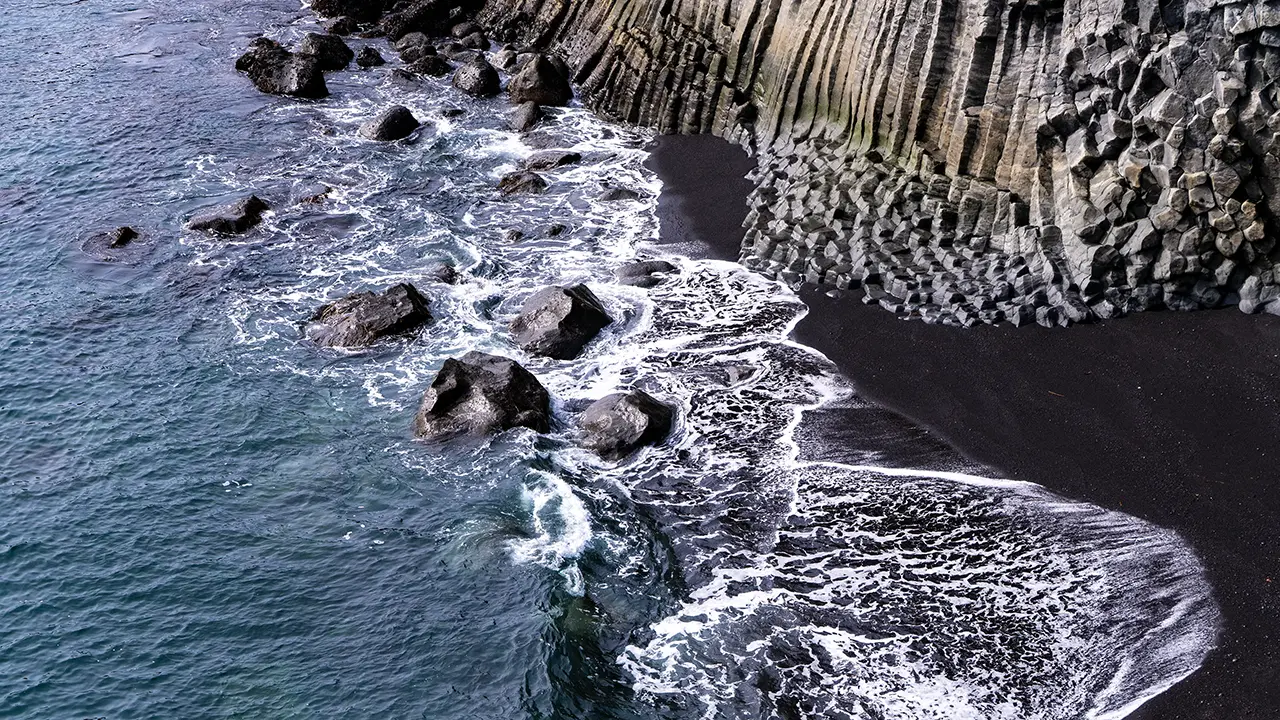
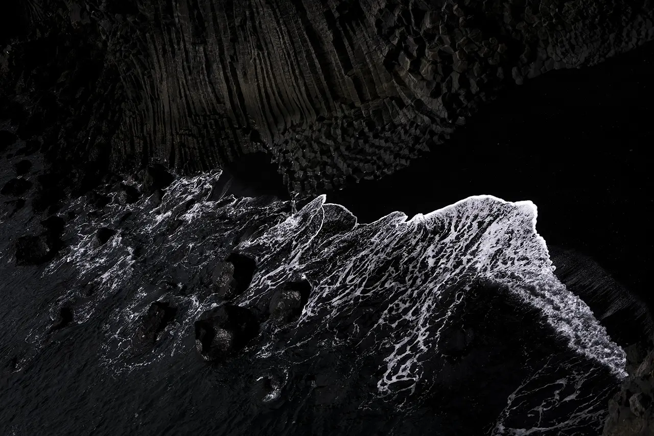
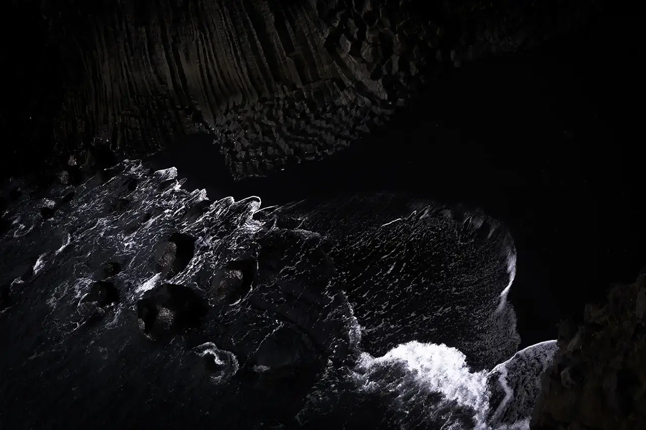
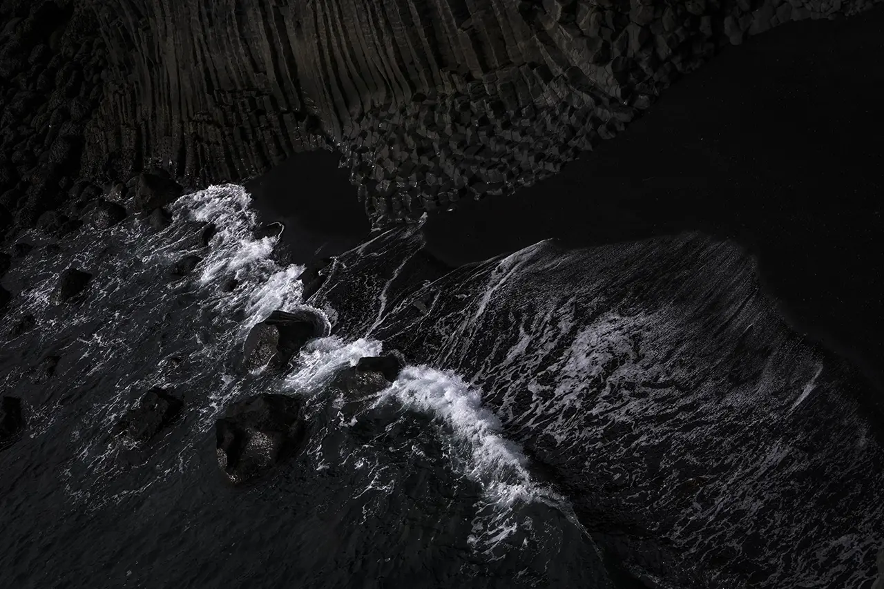
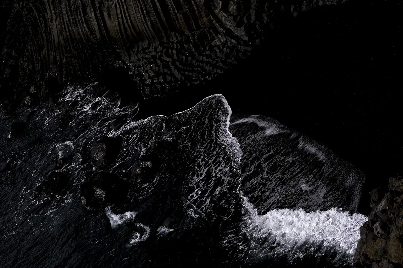
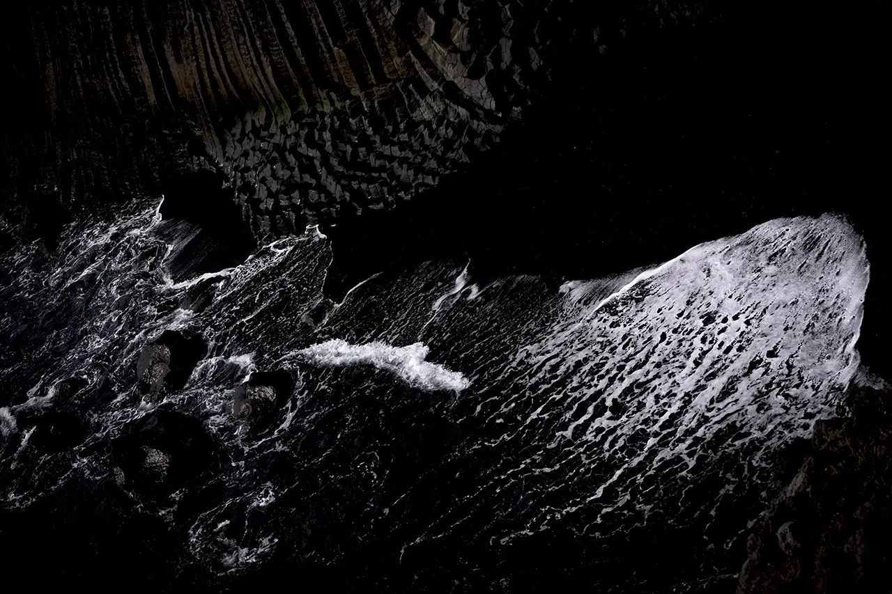
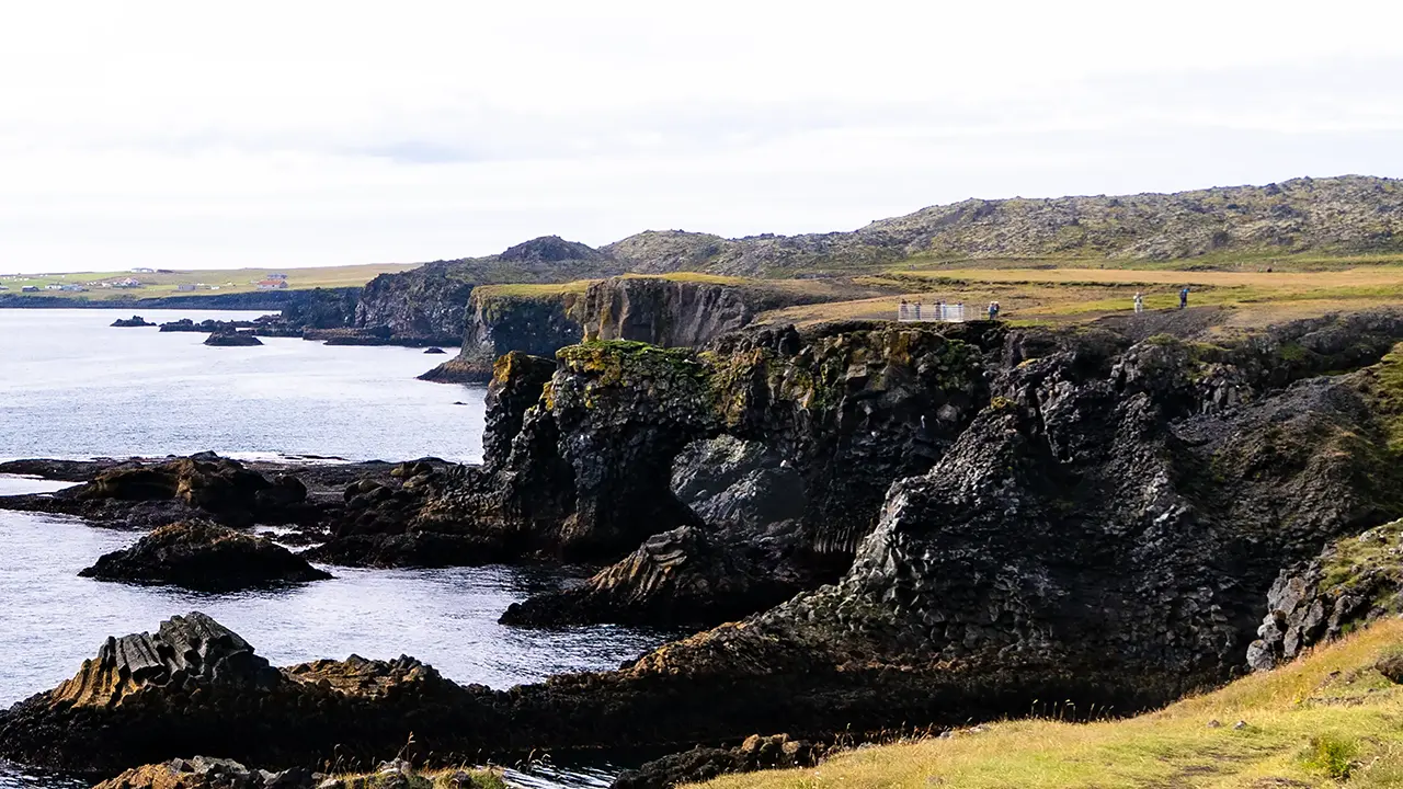
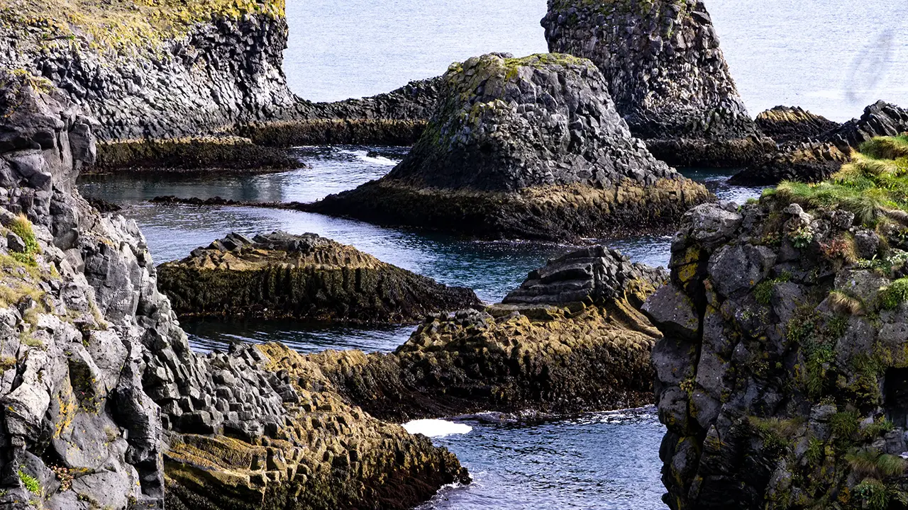
From the headland, we could look along the coast to the northeast and to the south. The first photograph looks northeast, with a wall of basalt columns right in front of us. I was struck by how flat the land was on top. Can you make out the three or so visitors at the upper left? They look no bigger than pinpoints, which gives some idea of the scale of the place. The second photograph looks south. The cut into the land and the hollow in the cliff in the foreground gave me a sense of just how much erosion had taken place. For the third photograph, I zoomed in on the black sand and breaking waves visible in the second.
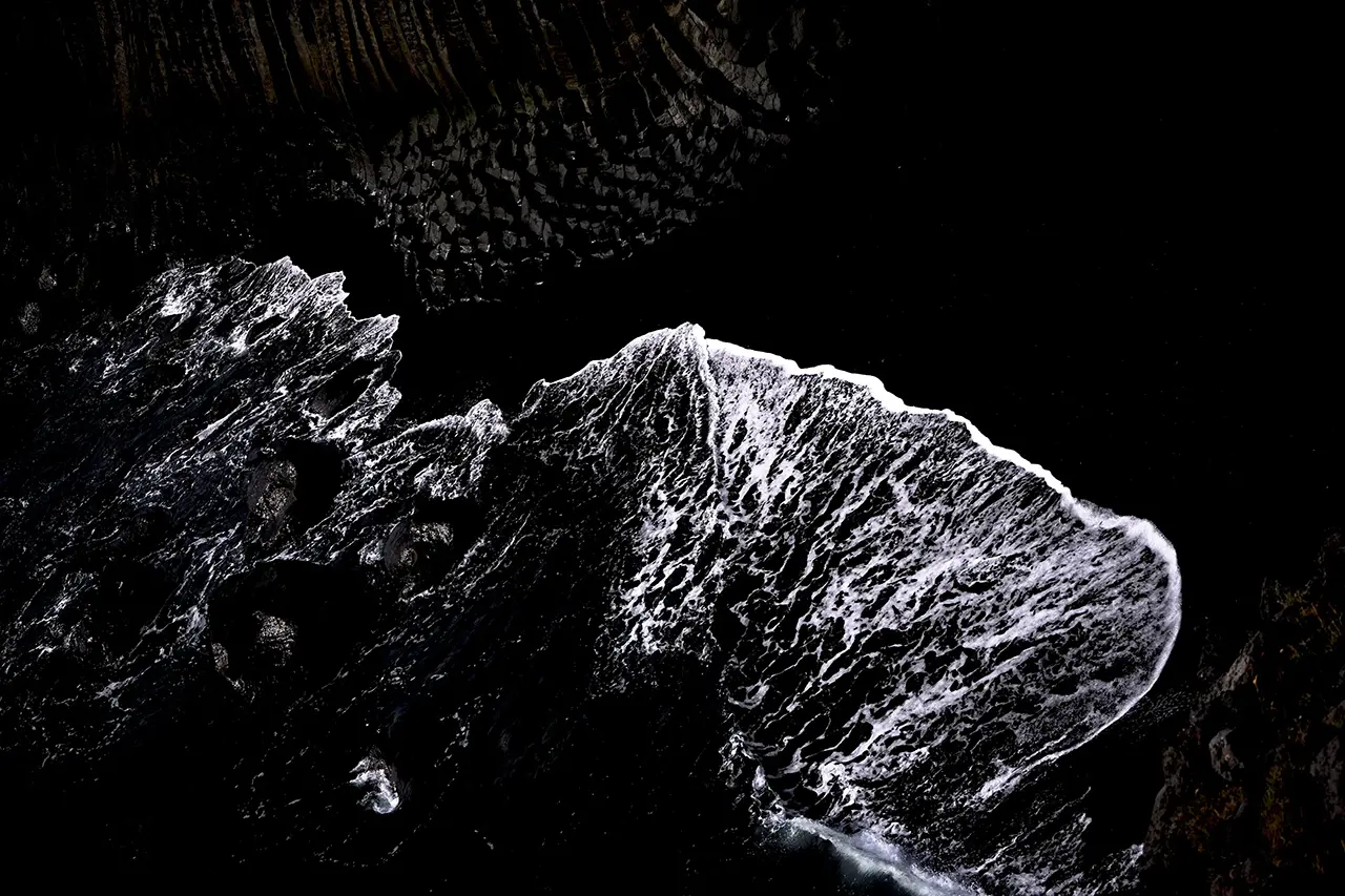
The black beach and white waves made such an impression on me that I kept taking photographs. I doubt many people will find them quite as interesting, but I have included them here to show what caught my eye.
Gatklettur
We walked back from the headland, then a little farther north, where some strikingly shaped rocks came into view.
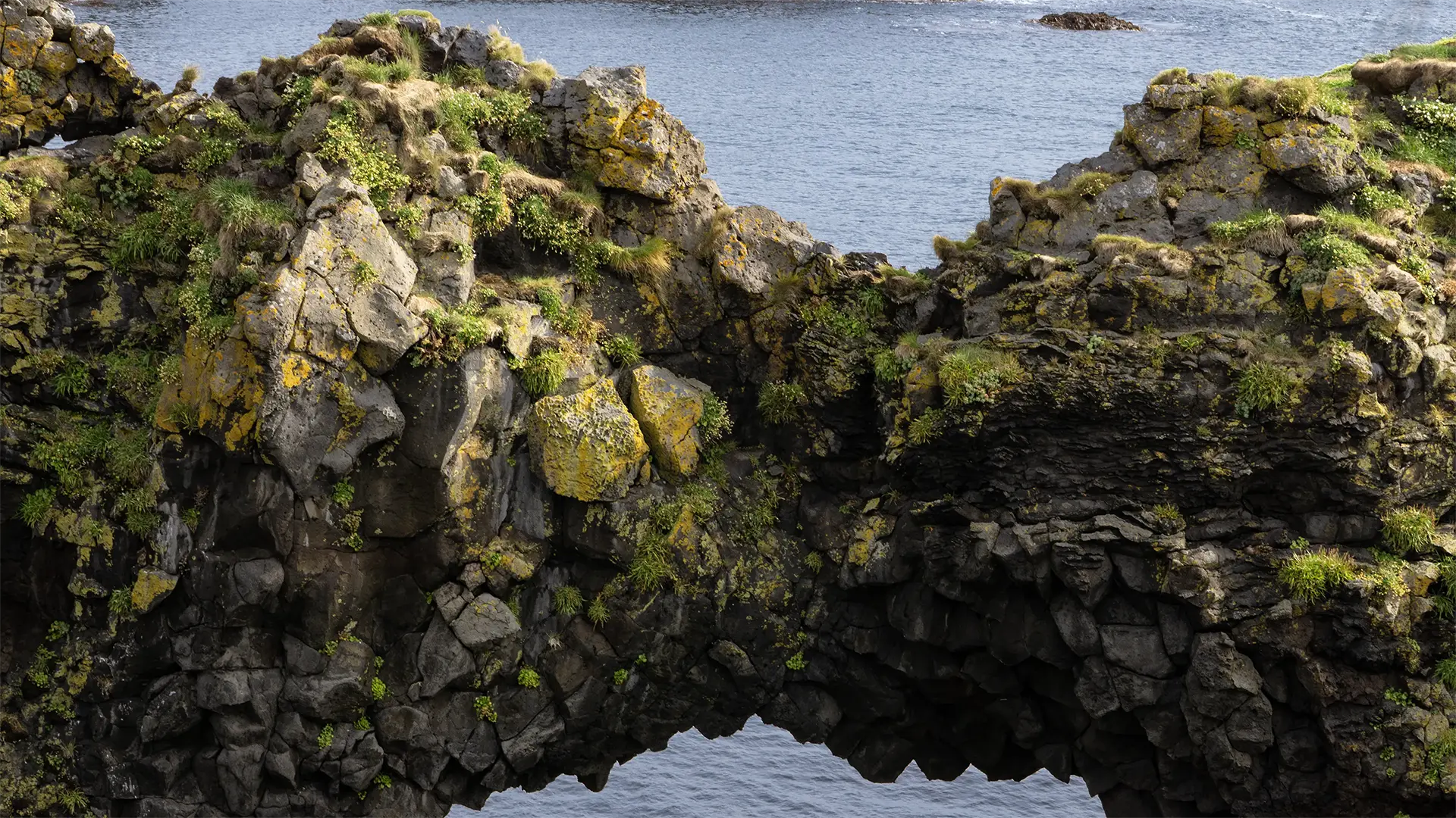
This one made the biggest impression on me.
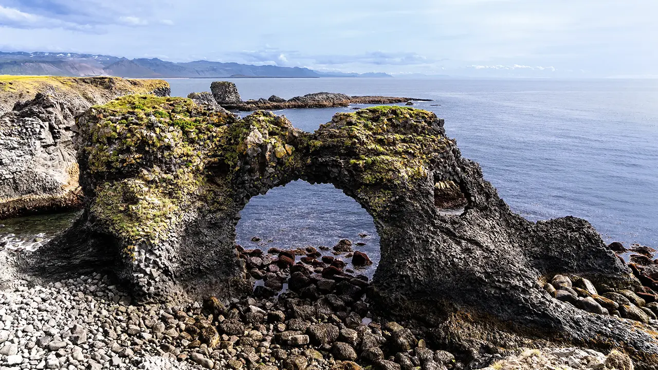
This is the arch of a rock formation called Gatklettur. Its overall shape is hard to make out in this photograph, but the first one below shows the whole thing. It is quite a large sea arch. The second photograph is from the north; in the background is the viewing platform where I took the first one. Apparently, there are several sea arches along this stretch of coast.
From the viewing platform right in front of the arch.
Can you make out the opening in the middle?
Rocks a little farther north. A cute hat.
An inlet called Pumpa There was a lighthouse on the right.
Like a cone—a local landmark
A small harbor
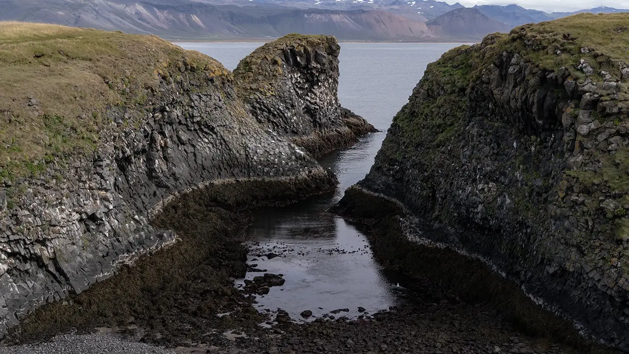
Beyond Gatklettur, the rocks farther along caught my eye too, especially one that seemed to be wearing a hat. The surrounding cliffs were deeply eroded at the bottom, yet this rock was still standing with its hat on. Curious. We continued past coves that cut deep into the coast, until we reached the car park at Arnarstapi harbor.
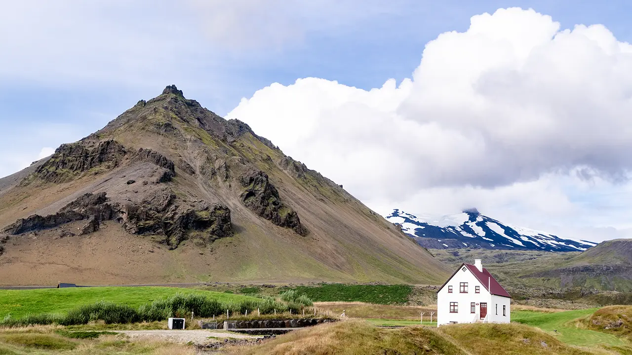
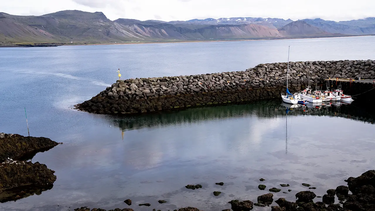
Looking inland, I could see Stapafell, a mountain that seemed to stand as a symbol of the area. Farther back to the right was Snæfellsjökull glacier. To the north was Arnarstapi harbor, its waters calm and quiet.
Djúpalónssandur
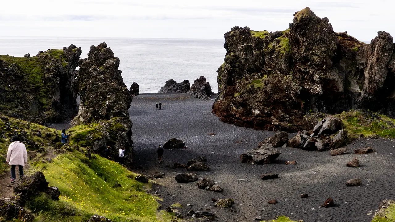
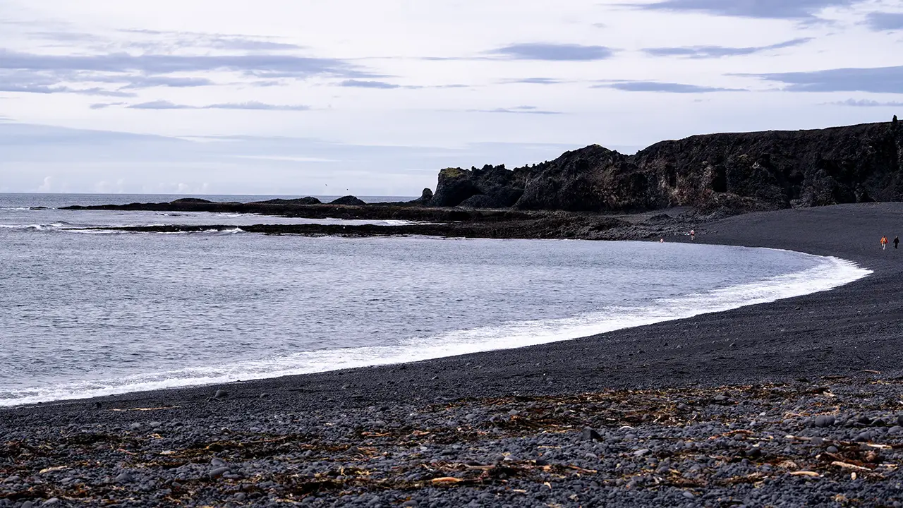
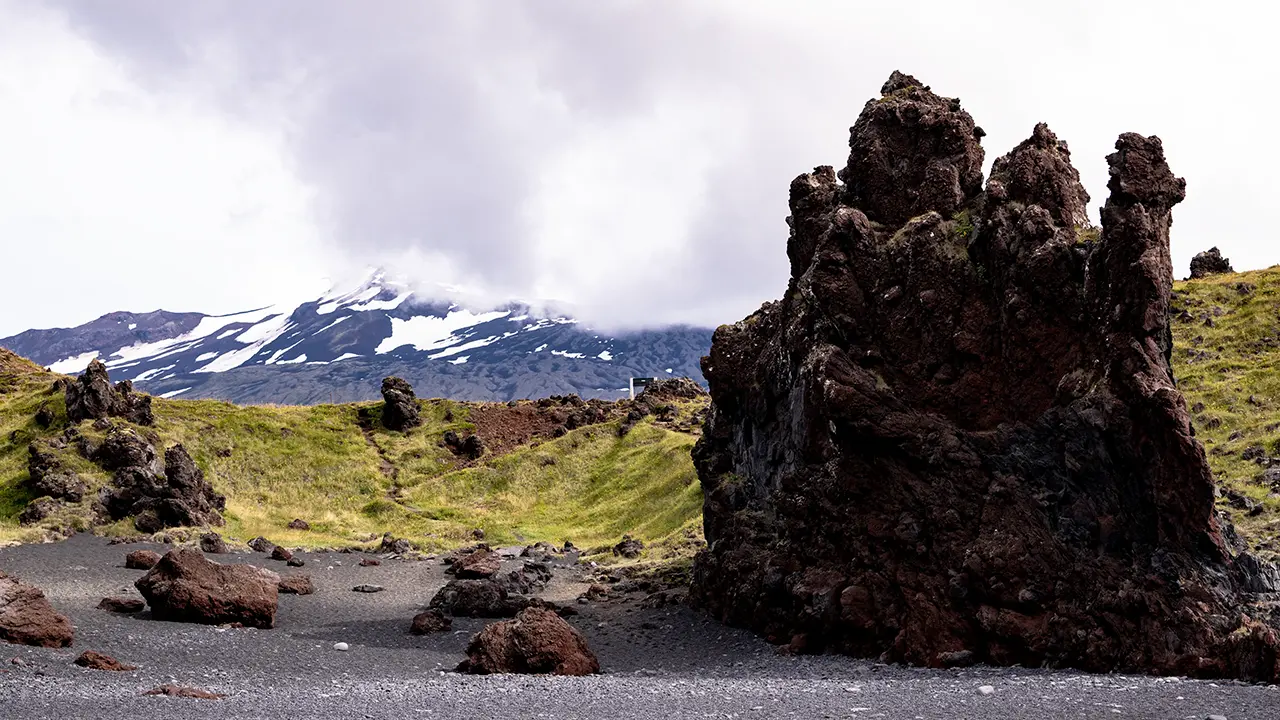
Djúpalónssandur is a black sand beach. It may be much like other black sand beaches, but there was plenty here to catch my eye too.
We walked from the car park through the lava formations to the shore, along a path called Nautastígur. Apparently, the name literally means "cattle path": naut means cattle, and stígur means a path or trail. I thought it was unusual for a trail to still carry such an old name.
We were told about the lifting stones that fishermen had used to test their strength, and the pieces of a shipwreck scattered along the beach. But it was the oddly shaped rocks that made more of an impression on me.
Nautastígur is on the left.
Looking across the black shore of Djúpalónssandur.
Looking back from the beach. Spot the car park sign!
Whale Watching from Ólafsvík
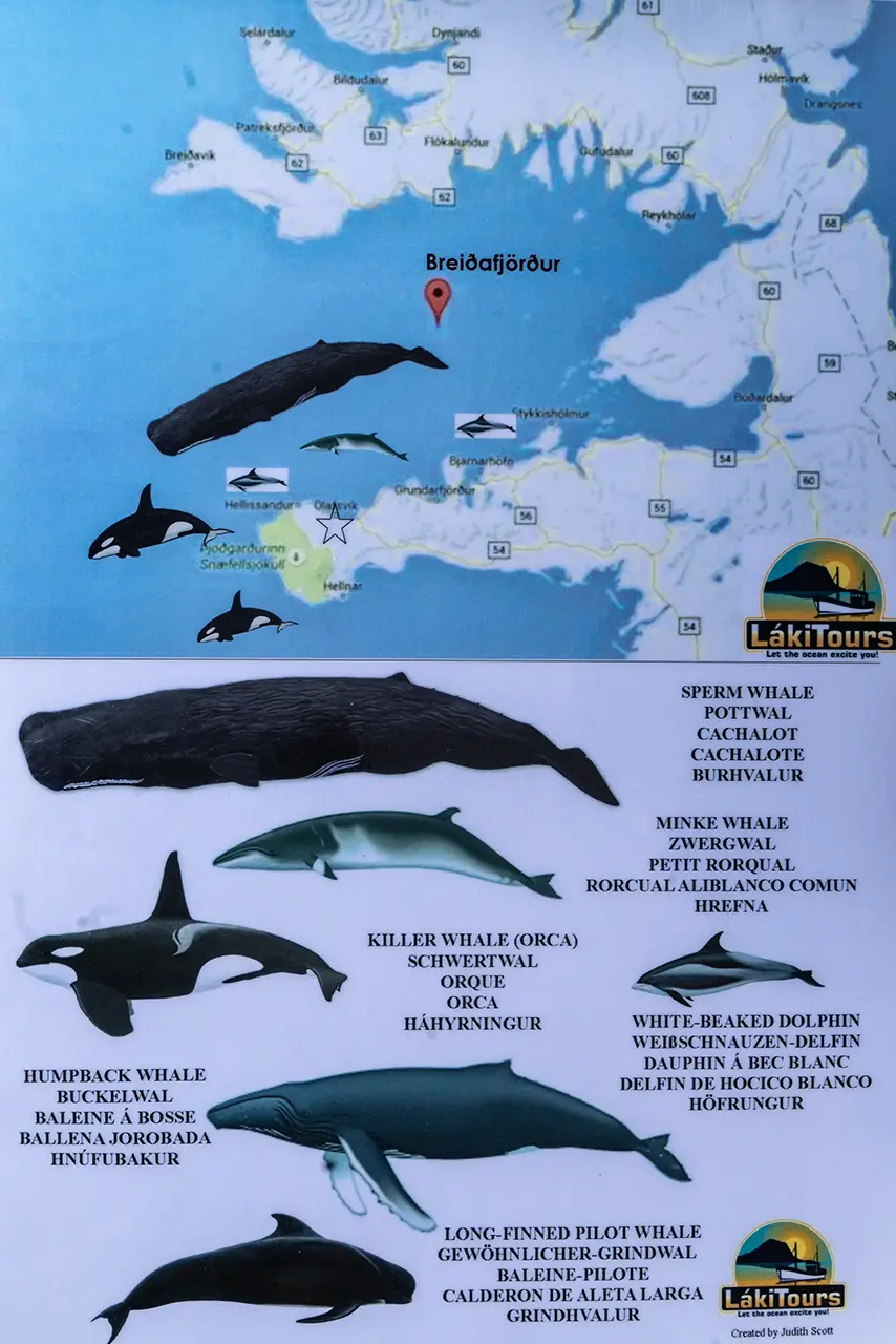
According to the tour information…
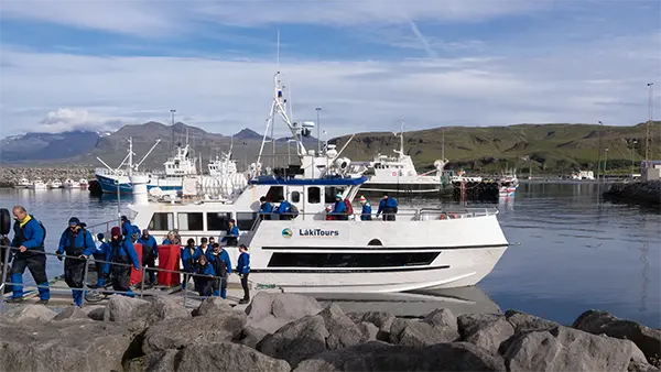
We joined a whale-watching cruise from Ólafsvík harbor into Breiðafjörður, which lies to the north of the Snæfellsnes Peninsula. It has fjord in its name, but is really a large bay. This was a separate excursion run by a company called Láki Tours. From the briefing and information board, it sounded as though a variety of whales and dolphins could be seen here, including minke whales, humpbacks, pilot whales and white-beaked dolphins.
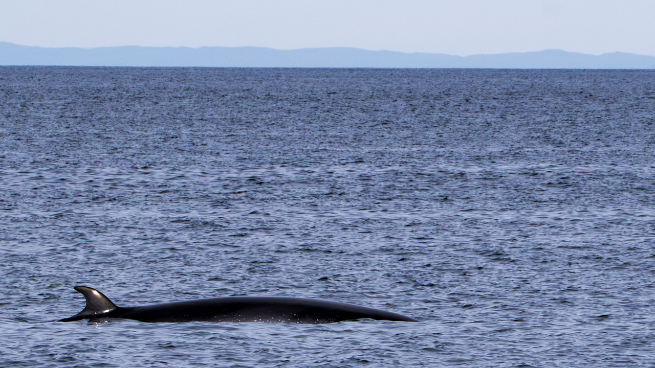
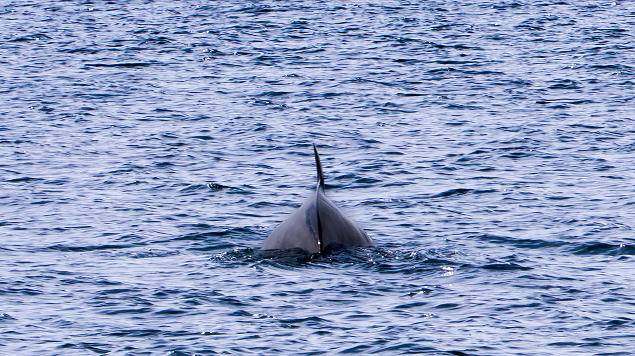
In the end, though, we saw just one whale, apparently a humpback. I could not really tell myself, but that was what the announcement on board said, so I suppose it was. Just one was a little disappointing, but this was not an aquarium. Nothing to be done about that.
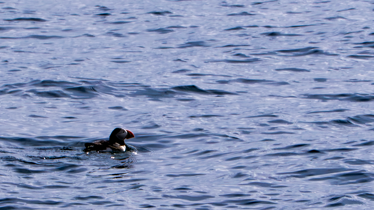
Not quite a substitute, but there was a lone puffin bobbing on the water. I tend to picture puffins in groups, so one on its own caught my eye in an odd way.
This was the boat we went out on. Everyone is looking down as they get off, which makes them look a little disappointed. Well, they were probably just watching their step.
Kirkjufell
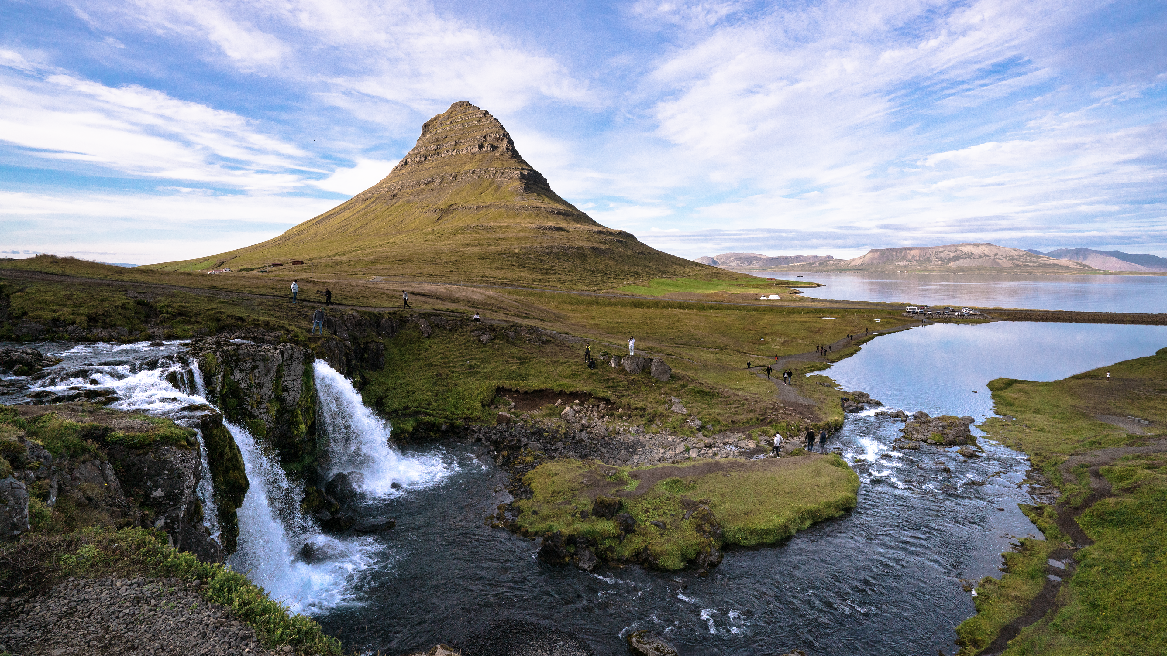
For a photograph here, it had to be this classic view.
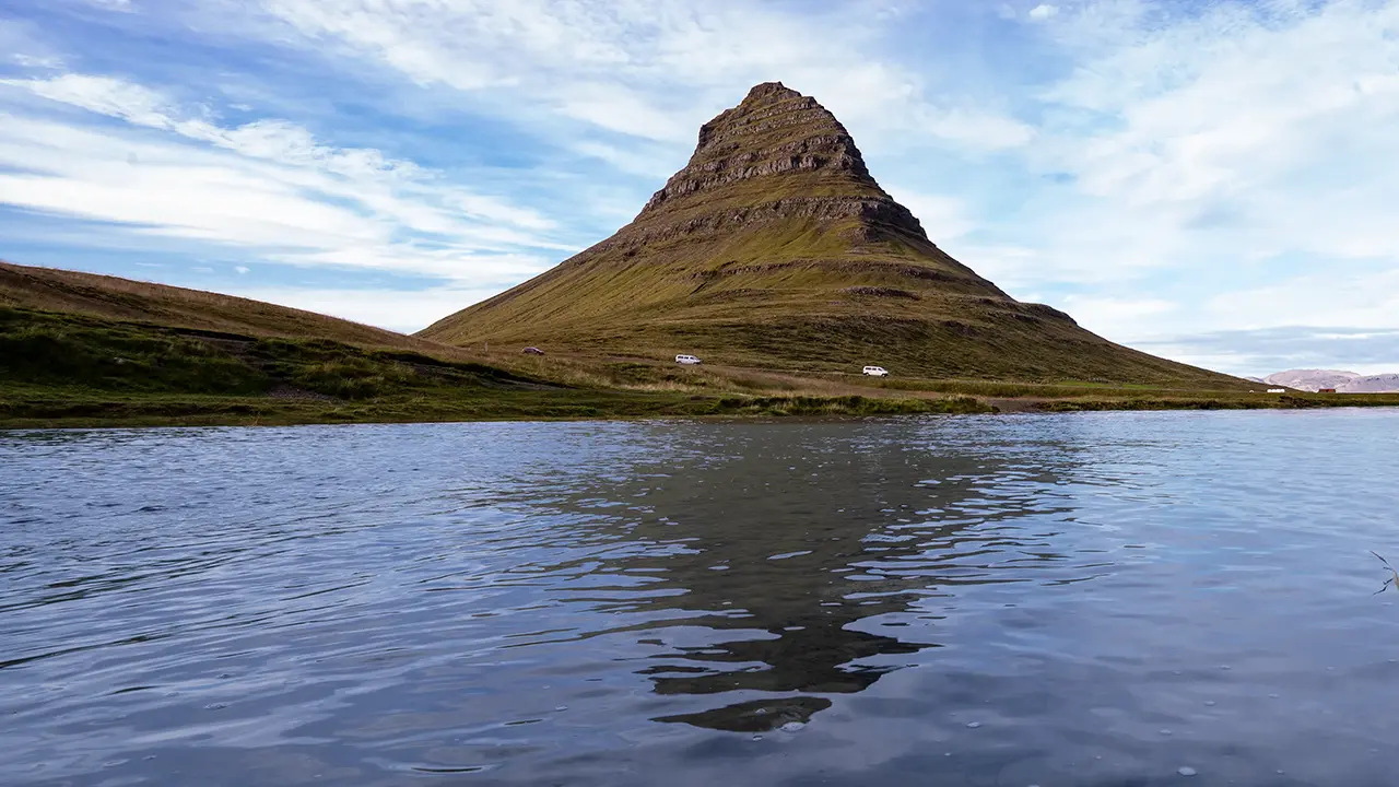
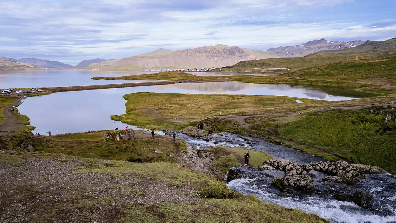
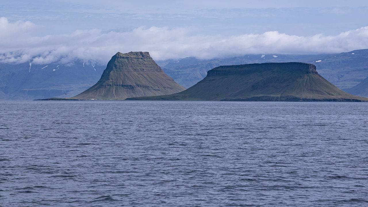
For the first photograph below, I had hoped for a clearer reflection in the pool below the falls. The water was rippling, though, so that one was a disappointment. The second shows the water downstream of the falls and the fjord beyond. From there, it had looked quite mirror-like. The third is the view from the whale-watching boat earlier. The mountain really does look different from another angle.
The name Kirkjufell combines the Icelandic words kirkju and fell—"church" and "mountain." Apparently, it was named for its resemblance to a church or church tower. These days, some people may know it better as "the mountain like an arrowhead," since it was used as a filming location for Game of Thrones.
Apparently, layers of rock built up by volcanic activity were later worn away by glaciers around the mountain, leaving the isolated peak we see today. Land built by volcanoes, then shaped by glaciers—very Icelandic.
Selvallavatn
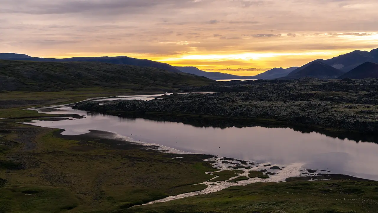
This is Selvallavatn View Point. We arrived at 8 p.m., just in time for the evening light. Selvallafoss waterfall was visible close by too.
A lovely view of a river entering a long, river-like lake
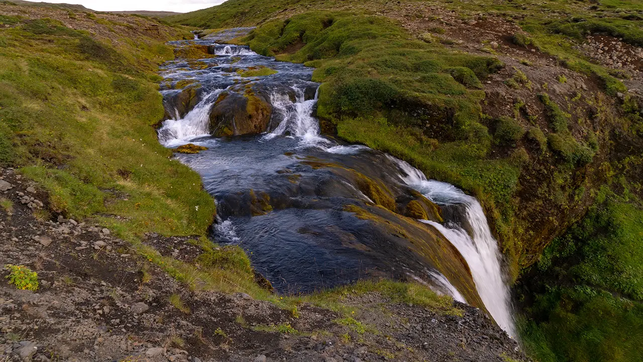
Selvallafoss
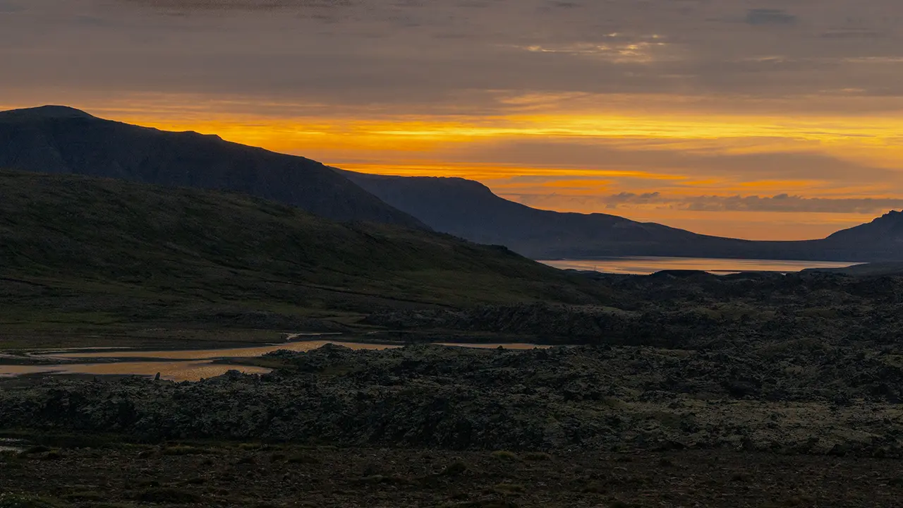
The water began to take on color.
We were only there for about twenty minutes, but it grew much darker while we watched. Sunset was still about an hour away. Perhaps it got dark earlier here because we were among the mountains.
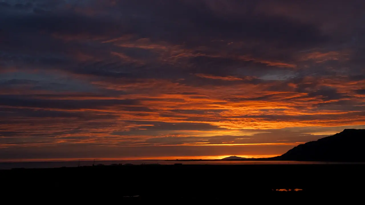
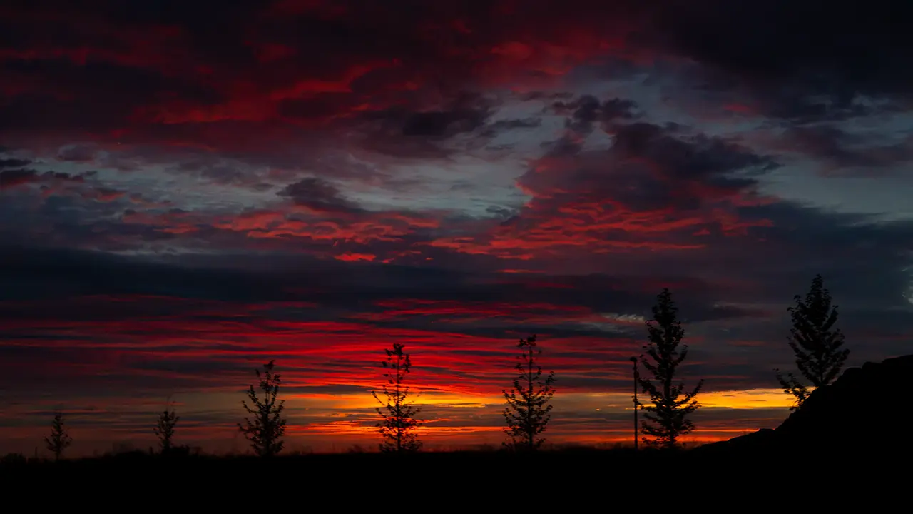
We left the viewpoint and headed for our accommodation, enjoying the evening colors all the way. The first photograph below was taken just after we came out of the tunnel on the Ring Road from the Akranes Peninsula towards Reykjavík. On the right, the tip of Akranes stands out as a black silhouette against the sunset. I took the second photograph when I thought the colors were at their best. There are no mountains or sea in the frame, but the roadside trees on the outskirts of Reykjavík add a nice touch.
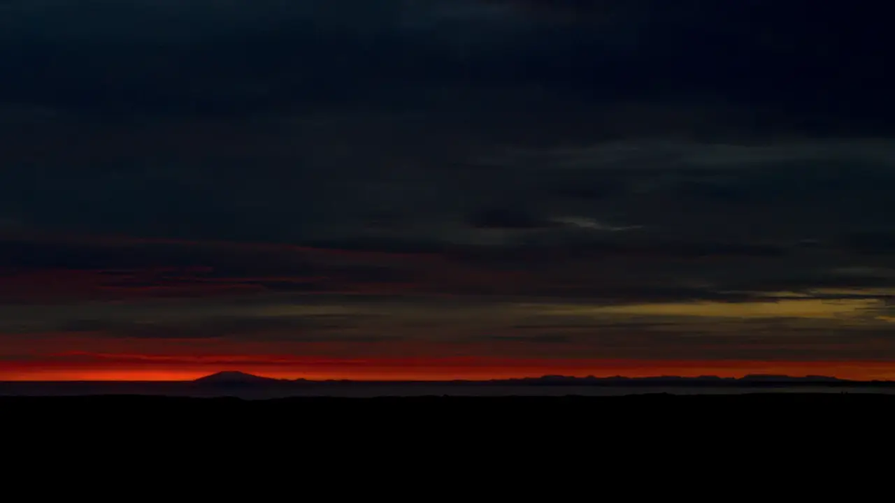
The third photograph shows the last glow over the sea. It was already past sunset, around 10:30 p.m. We reached our accommodation soon afterwards.