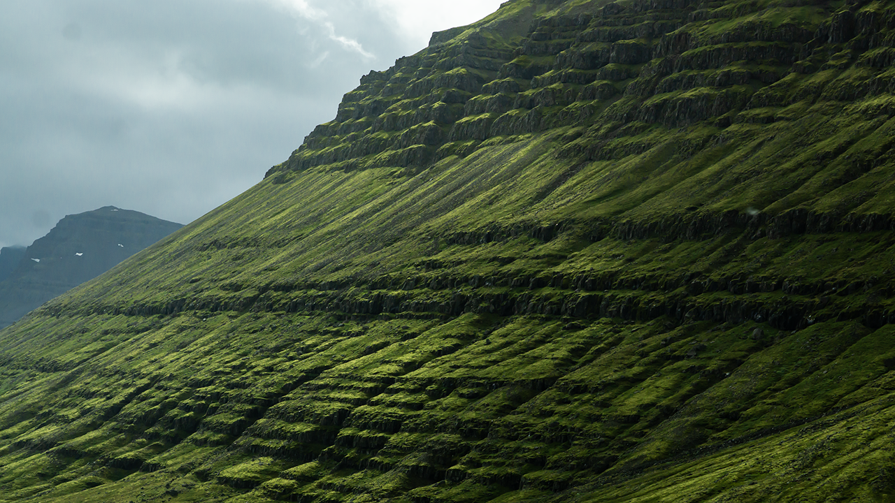
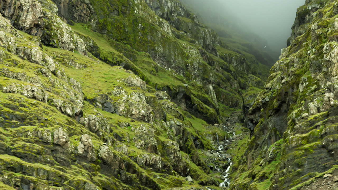
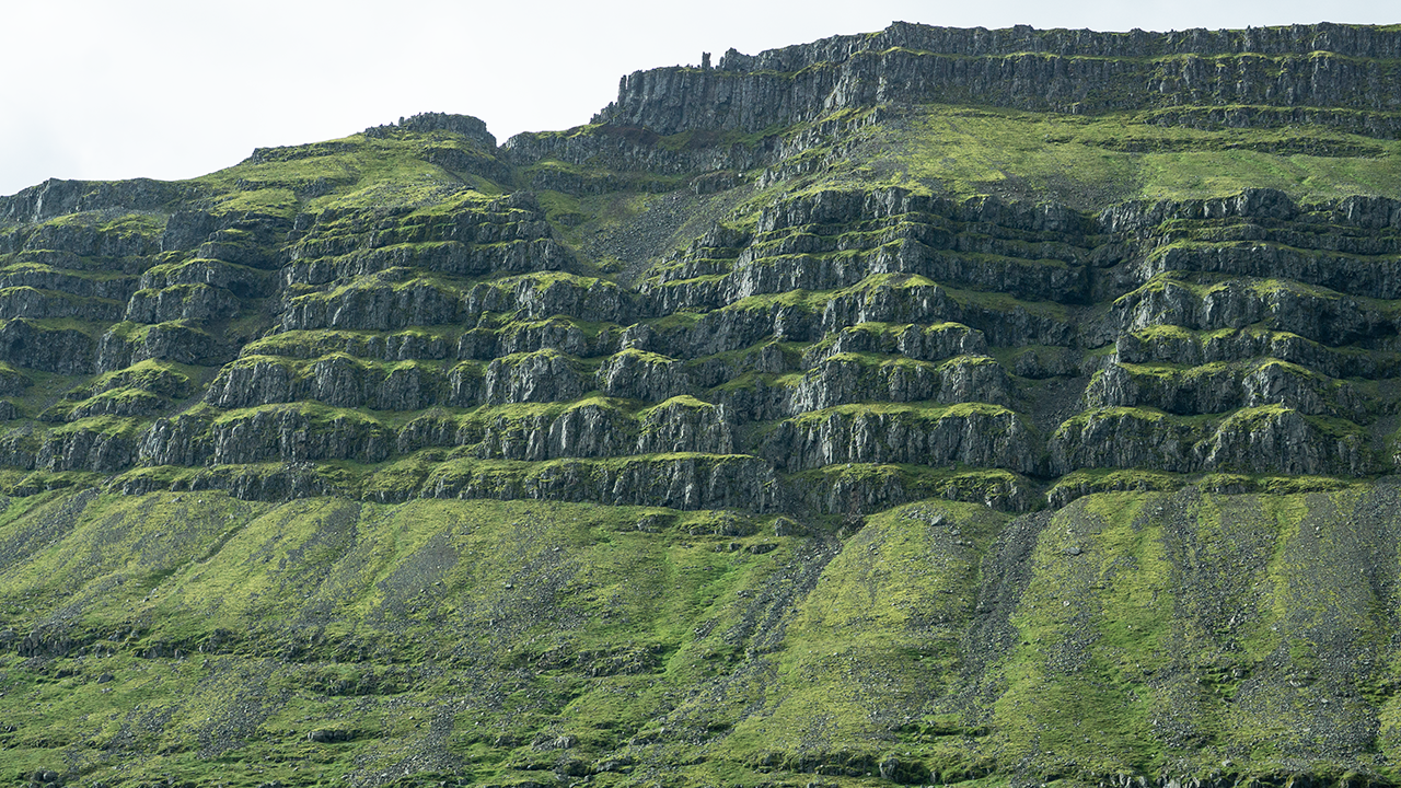
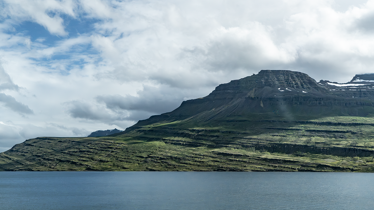
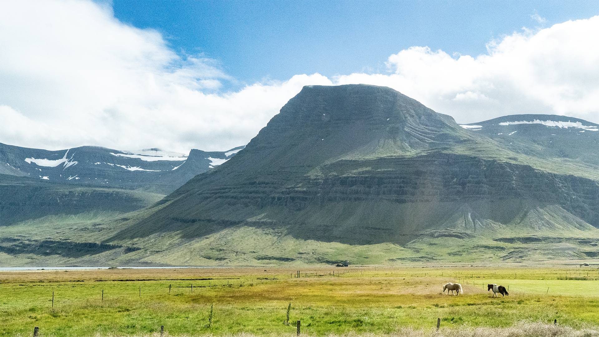
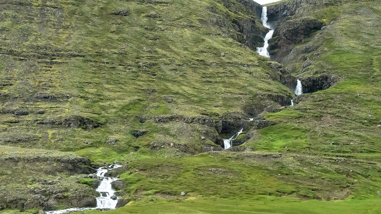
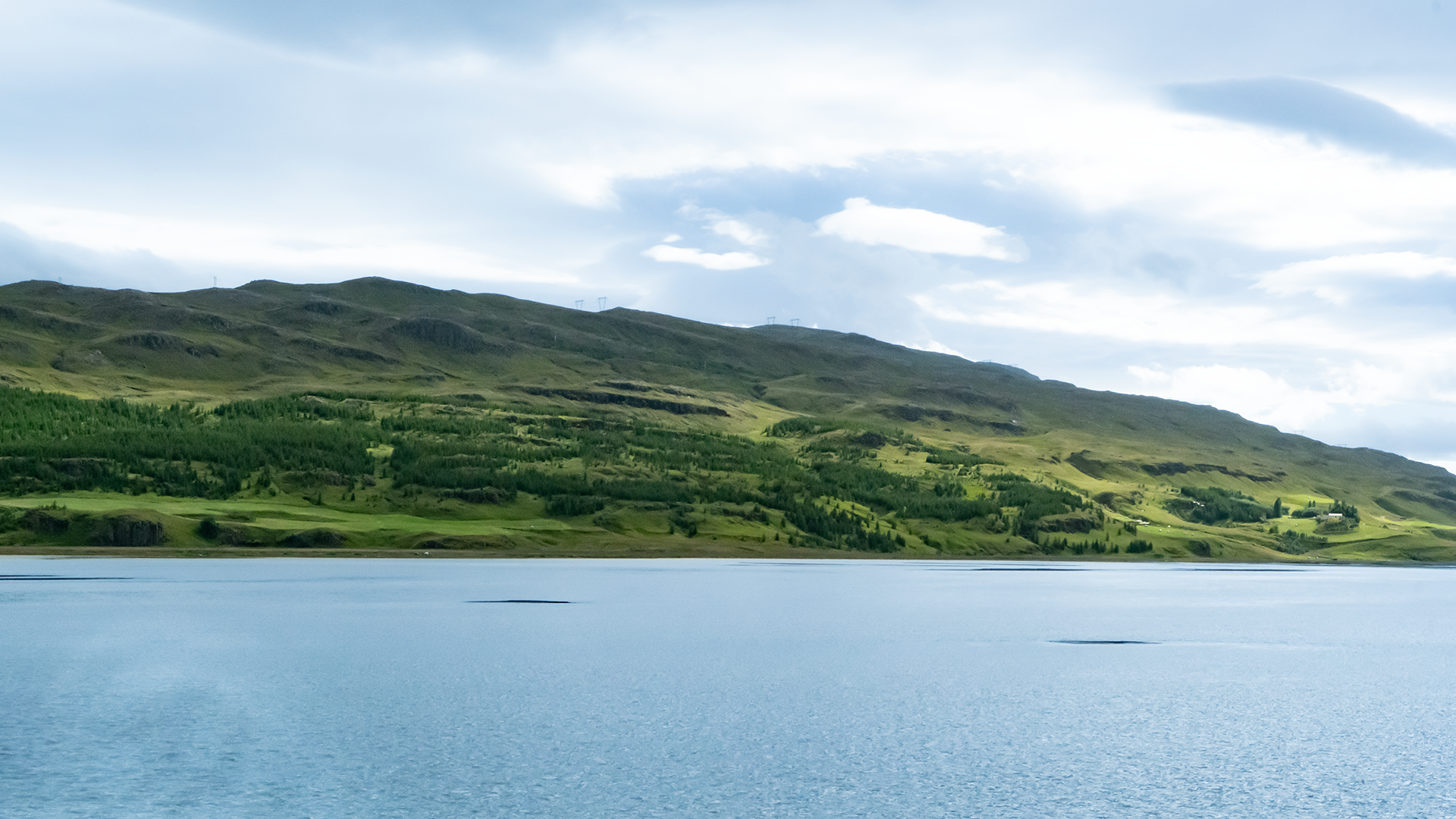
These photographs are from the journey north through the Eastfjords in the tour minibus. The sky was heavy and gray as we followed the coast. The sea slipped in and out of view on the right; on the left, horizontal bands ran across the mountainsides, with waterfalls dropping through clefts in the slopes. There was always something to look at during those two hours on the road. Sediment had built up in the sheltered ends of some fjords, leaving shallow water that the road crossed on what looked like causeways. It was a curious feeling, almost as though we were driving through the middle of the sea.
I took the next three photographs through the bus window. They aren’t my best, but I hope they give a sense of the journey.
Iceland straddles a plate boundary, but the east lies away from its present active volcanic zones. Here, thick layers of ancient basalt make up the land. Rivers cut V-shaped valleys into it, and glaciers during successive glacial periods seem to have widened and deepened them into the U-shaped valleys we see today. The retreating ice then left some valleys open to the sea, forming fjords. What remains is old volcanic rock, worn and shaped over a vast span of time. Those bands on the valley walls became all the more fascinating when I thought of the history laid out before me.
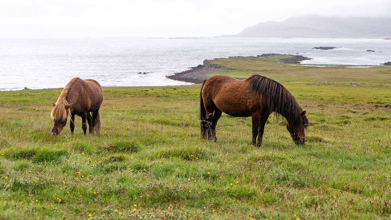
The first stop was a farm near Breiðdalsvík, where we had about ten minutes with the Icelandic horses. I had several opportunities to photograph them and have brought those pictures together on the separate Icelandic Horses page.
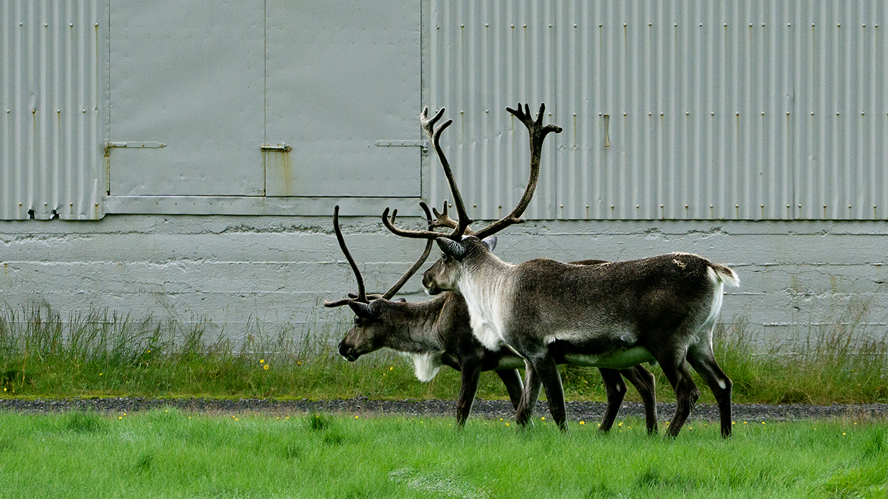
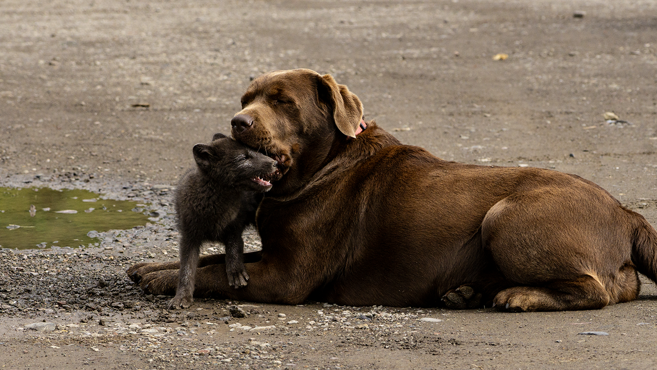
A slight departure from the order of the day: we also saw reindeer, or hreindýr, on a farm nearby. At Mjóeyri, a small settlement some 70–80 kilometers farther north, we were shown a young Arctic fox. Apparently it had wandered into the settlement and made itself at home, even spending time with the pet dogs. It seemed quite used to people; some were picking it up.
I later learned that reindeer had been brought from Norway in the 18th century with the intention of raising them as livestock. Reindeer farming never took hold, however, and the wild population is now apparently confined to eastern Iceland. The two we saw were probably wild too. I had also spotted one that morning in what looked like a pasture.
These encounters gave me a glimpse of life in eastern Iceland, where people and animals seemed to share the landscape.
Icelandic horse
Reindeer
Arctic fox
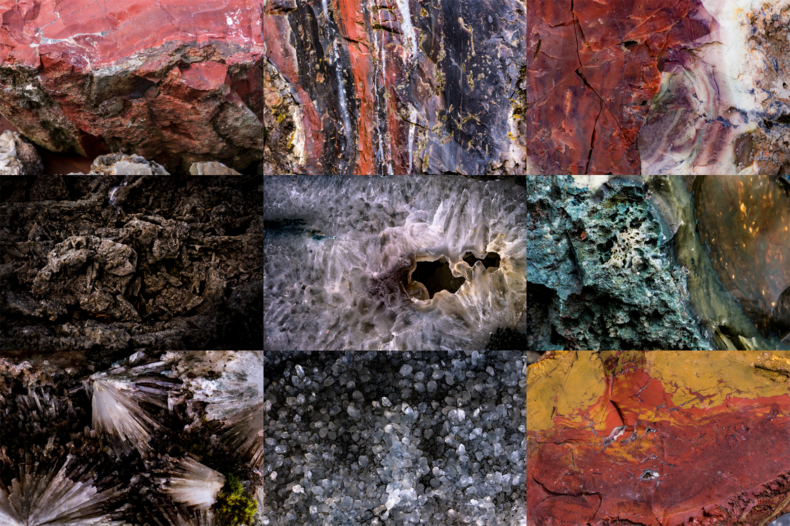
Petra's Stone Collection
Petra Sveinsdóttir spent a lifetime gathering stones and minerals, mainly from the mountains and shores of eastern Iceland. Her collection fills her former home and garden: jasper, agate, quartz, calcite, zeolites, and all sorts of other colorful finds from this volcanic landscape.
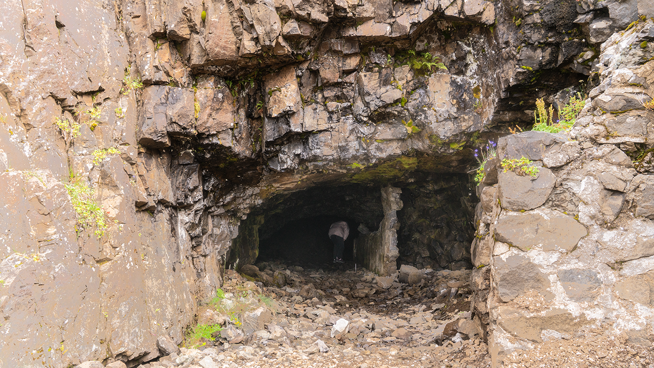
Helgustaðanáma Mine
The old mine entrance
Helgustaðanáma is a quarry once renowned for Iceland spar, an exceptionally clear form of calcite. I learned that its crystals had played an important part in the study of polarization and other properties of light, and had been used in optical instruments, including microscopes. Quite an important place, then. Yet there seemed to be nothing protecting it, and no other visitors around. Little fragments glittered in the rock inside, but taking even the tiniest piece was strictly forbidden.
What stayed with me most was the view from outside the mine, across the fjord of Reyðarfjörður.
Hólmanes Nature Reserve
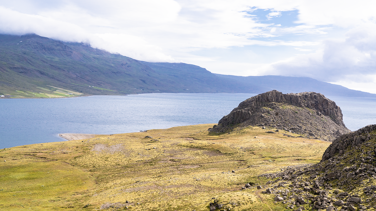
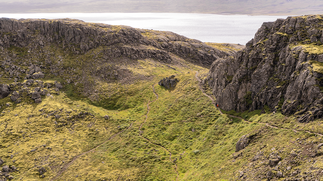
Hólmanes Nature Reserve occupies the headland between Reyðarfjörður and Eskifjörður, with views across both fjords. The weather was finally improving, with patches of blue appearing in the sky. The rounded rocky hill of Hólmaborgir stood out like a landmark. Apparently, it formed when magma worked its way between layers of lava and solidified there.
Hólmaborgir
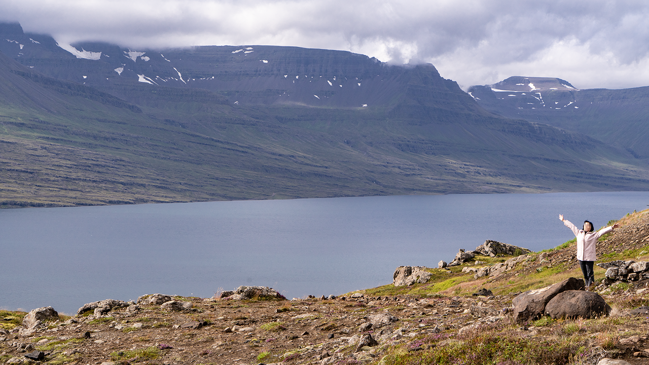
What a place to be!
The people give the scale. Much bigger than it looks!
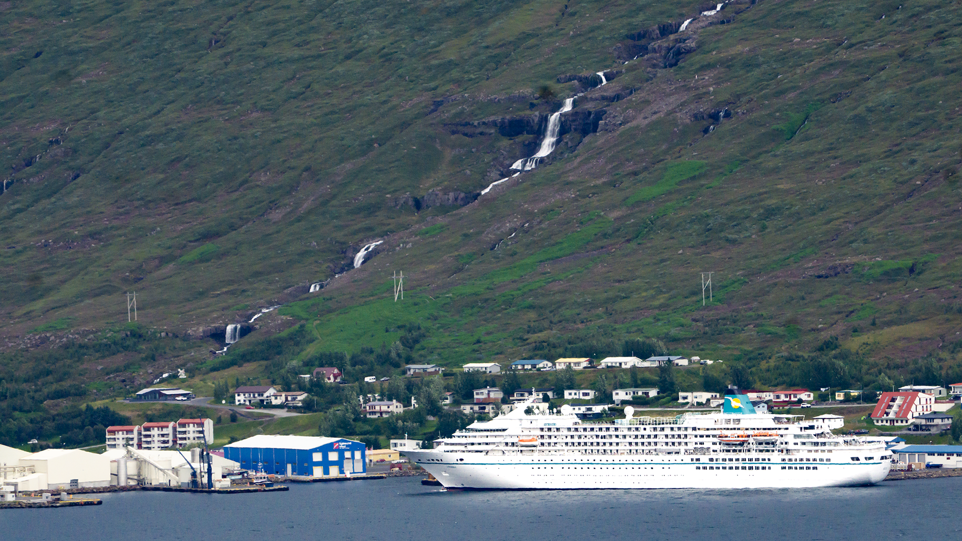
A cruise ship was docked across Eskifjörður, at the town of the same name. I later identified it as MS Amadea, operated by Phoenix Reisen. It spent about eight hours there that day, from 9 a.m. to 5 p.m., and the passengers seemed to be out exploring the area. When I looked up the excursions offered for calls in 2026, I found that some apparently included Petra’s Stone Collection and Hólmanes—places on our itinerary too.
Heading Inland
We left Hólmanes and the coastal fjords behind and turned inland. I took the first photograph through the minibus window at the head of Reyðarfjörður. The weather had cleared, and it felt as though we were looking at a different place from the one we had seen that morning. The cliffs and waterfalls still followed one after another, but the change in weather gave them quite a different character.
The head of the fjord on the left
One waterfall after another
Lake Lagarfljót
Water came into view again as we traveled inland. This was Lagarfljót, a long, narrow freshwater lake filling a valley carved by a glacier. It is the broad stretch of a watercourse running some 140 kilometers from the glaciers in the south to the sea in the north. A river, perhaps, or a fjord… it didn’t really look like a lake to me. A river felt closer to the mark.
Fljótsdalur continues inland beyond the southern end of Lagarfljót. Hengifoss lies on one of the tributaries flowing into that valley. I describe the waterfall on a separate page.