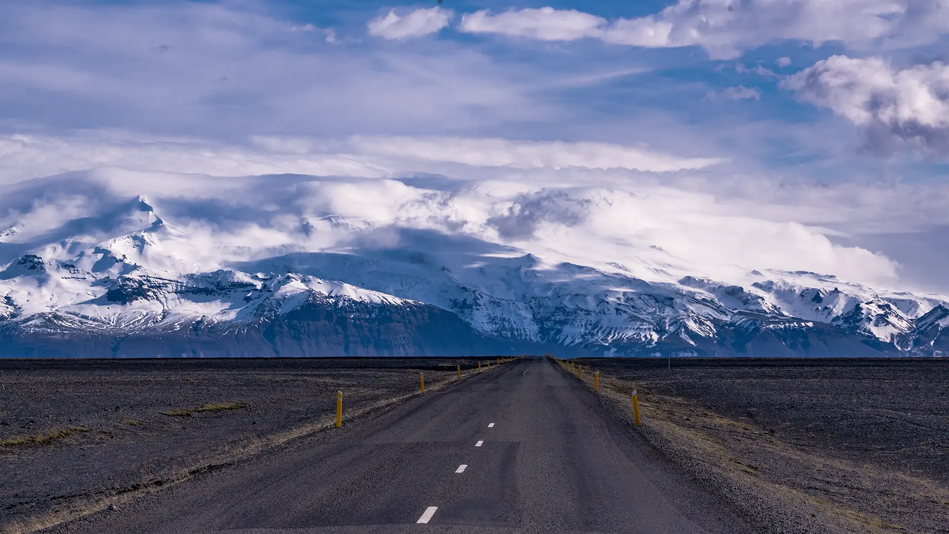
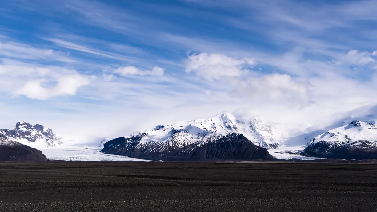
Driving across Skeiðarársandur gives an extraordinary sense of traveling through a vast wilderness. The mountains of Skaftafell are in sight, yet never seem to get any closer. The road runs almost straight for perhaps 30 or 40 kilometers. The sand plain apparently covers around 1,300 square kilometers, a little more than half the area of Tokyo Metropolis.
Rain kept me from taking photographs here during the August tour, so the photographs shown here are from April.
The seemingly endless straight road across Skeiðarársandur
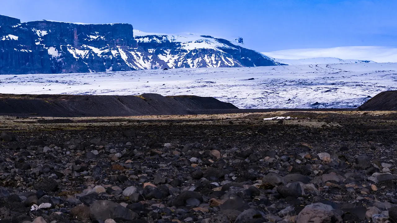
Mountains and glaciers around Skeiðarársandur
The scenery visible from the Ring Road across Skeiðarársandur is almost beyond words.
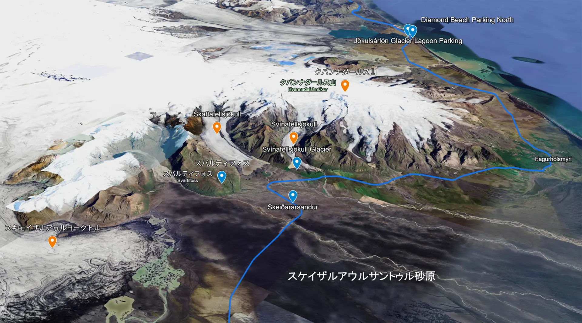
I mentioned the “mountains of Skaftafell” earlier. Skaftafell is the name of an area on the southern side of Vatnajökull, home to Svartifoss waterfall, which I describe later. It was once a national park in its own right, but became part of Vatnajökull National Park in 2008.
I tried writing an explanation, but even I found the locations confusing, so I used Google My Maps to visualize them. The white area on the right is Vatnajökull, Iceland's largest glacier, seen here as if from above its southern side. The dark expanse at lower right is Skeiðarársandur, and the blue line is the Ring Road. Many of the photographs were taken near the blue marker on the road, labeled Skeiðarársandur. The orange markers indicate the subjects I photographed.
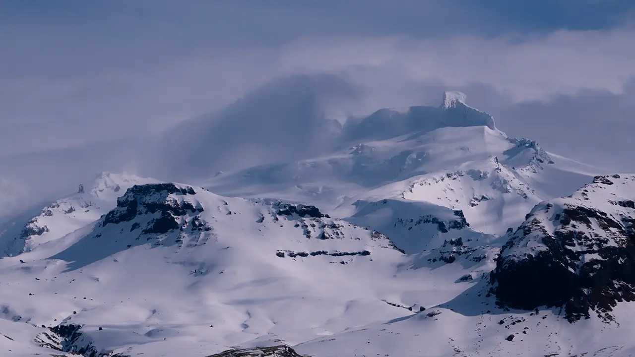
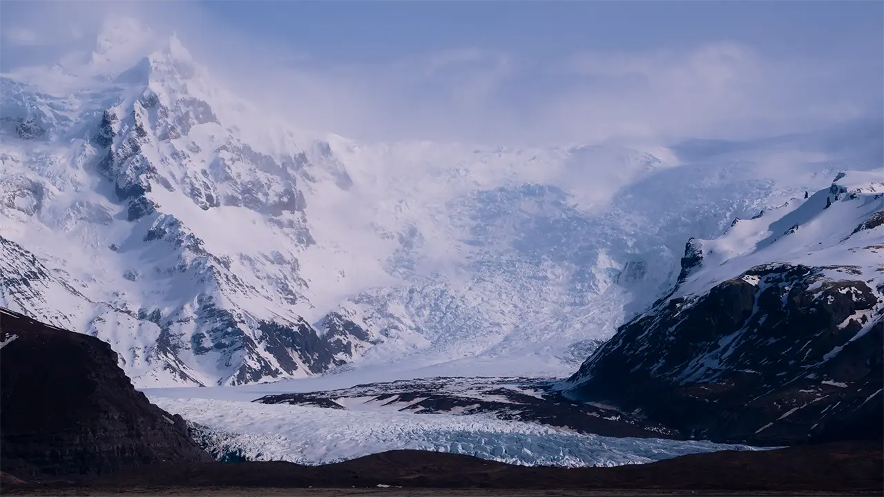
Iceland's highest peak
Skeiðarárjökull
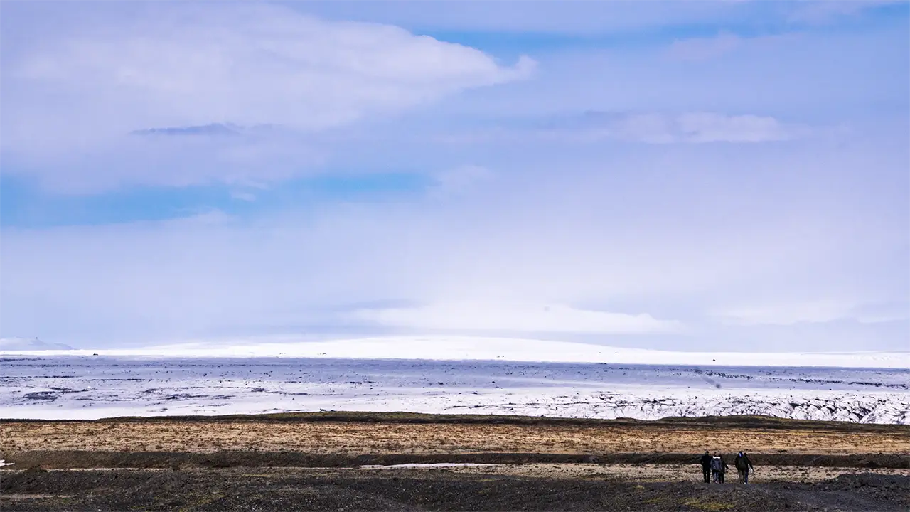
People walking towards the glacier
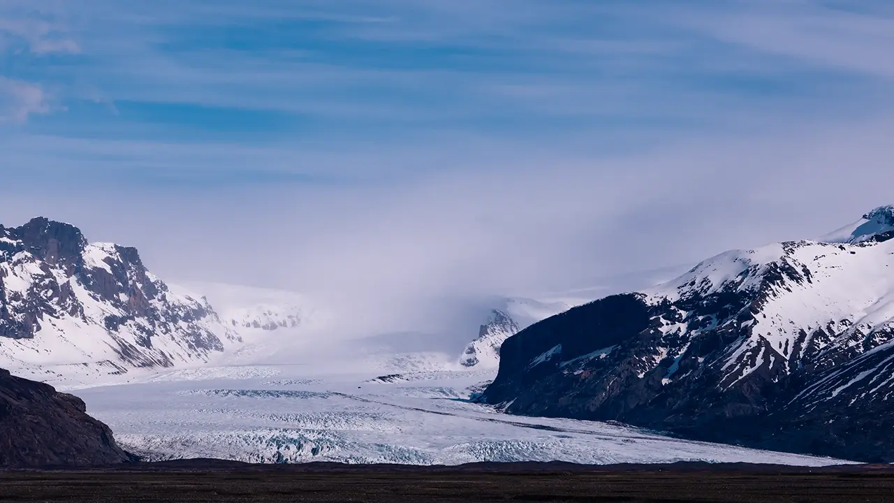
Left: Skaftafellsjökull Right: Svínafellsjökull
Svínafellsjökull
Skaftafellsjökull
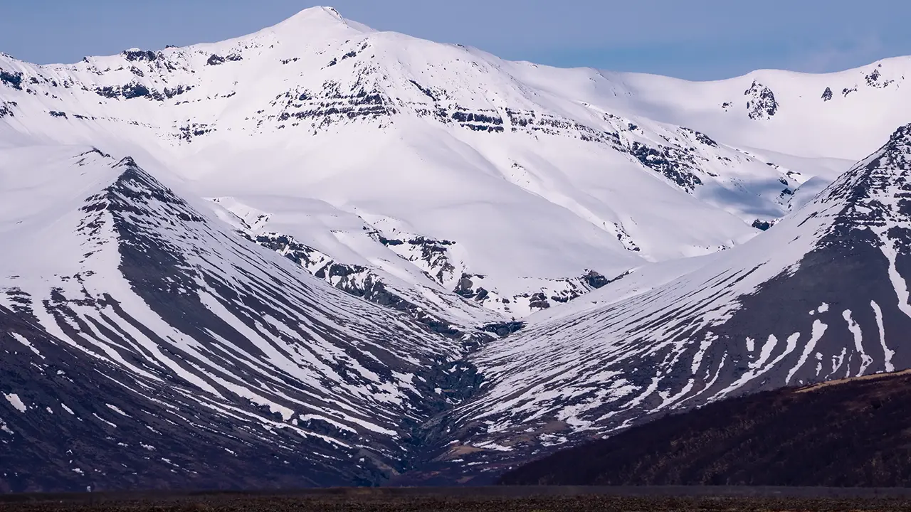
The beautifully V-shaped Hrútagil valley
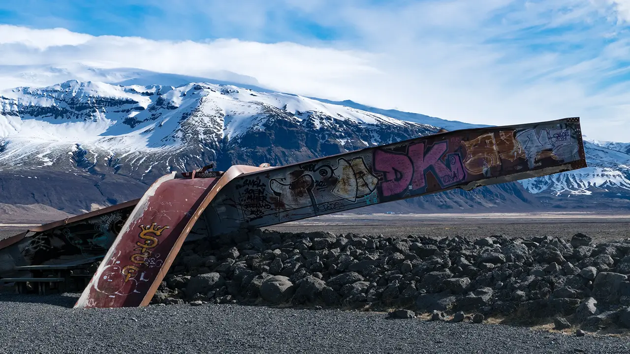
Skeiðará Bridge Monument
Looking southwest
Hvannadalshnúkur, Iceland’s highest peak, stood almost directly ahead. Clouds covered the summit, but the contrasts of light and shadow gave the mountain a dramatic presence.
Skeiðarárjökull, one of the glaciers extending from Vatnajökull, appeared close by to the west. I could make out people walking towards it, perhaps setting off on a glacier hike.
The two glaciers Skaftafellsjökull and Svínafellsjökull also made an impressive sight side by side. A glacial lagoon lies at the end of Svínafellsjökull, on the right. We visited it in August.
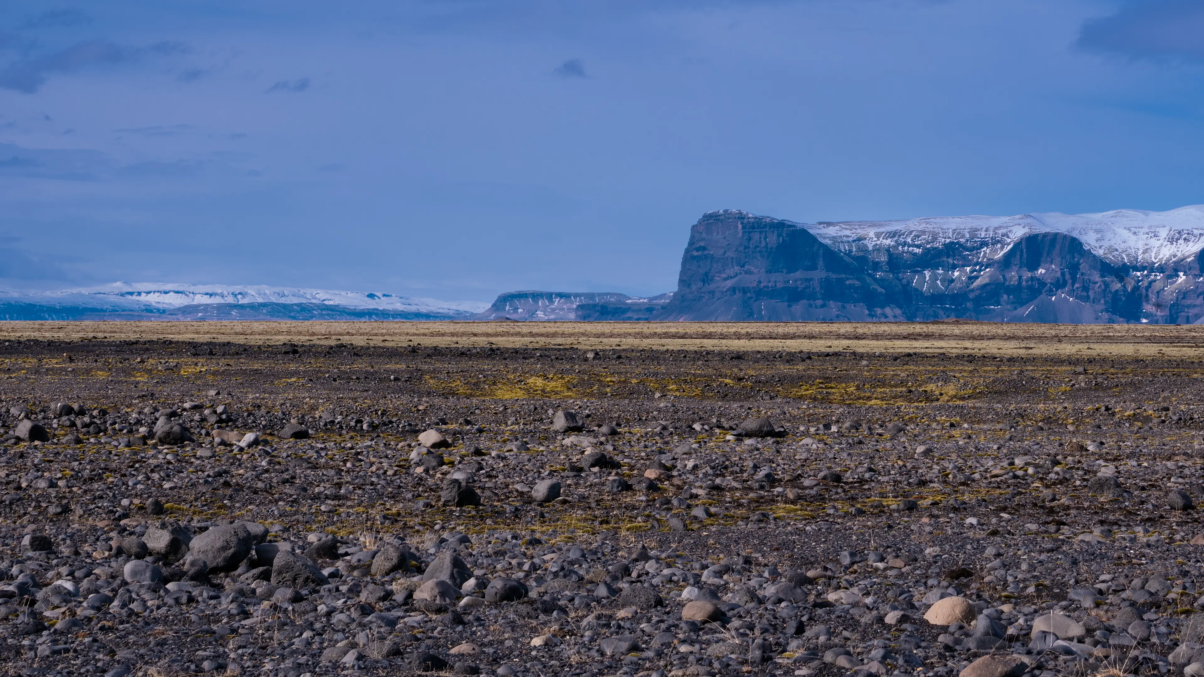
I took the last photograph looking back west. Black sand and rocks stretch towards the mountain of Lómagnúpur in the distance.
The steel remains in the second-to-last photograph are part of a bridge destroyed by a flood, preserved as the Skeiðará Bridge Monument. In 1996, an eruption beneath Vatnajökull triggered an enormous jökulhlaup, or glacial outburst flood. The water carried blocks of ice reportedly as large as houses, which struck the bridge.
The vast plain of Skeiðarársandur has been built up from sediment carried by glacial rivers flowing from Vatnajökull and by jökulhlaups associated with volcanoes beneath the ice, including Grímsvötn. The 1996 flood was one episode in that continuing process.
I had been looking out over the black sand, struck mainly by its sheer extent. The remains of the bridge gave me a sense of the forces at work here. They are a reminder that the forces shaping this landscape are still at work today.
It would be a shame to see this merely as beautiful scenery. To me, it is a landscape that invites another look at what makes Iceland distinctive.
Its position on the boundary between the North American and Eurasian plates