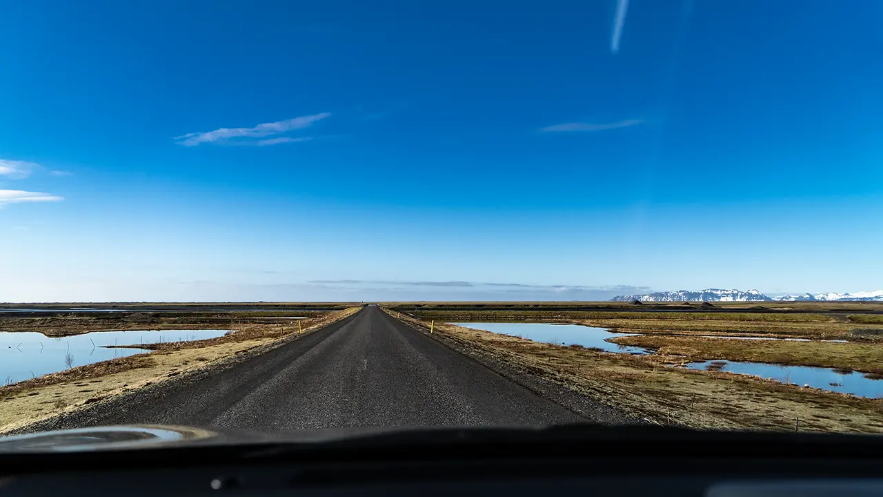
The South Coast is the name given to the roughly 390 km stretch from Selfoss, near the base of the Reykjanes Peninsula, to Höfn at the gateway to the east coast. There are glaciers, glacial lagoons, waterfalls, and canyons to see, but 390 km is a considerable distance. Between the sights, sand plains and moss-covered lava fields seem to stretch on forever.
Mýrdalssandur Sand Plain
Mýrdalssandur stretches east of Vík. I stopped the car and took this photograph looking west. The mountain in the background is Hjörleifshöfði. Beyond that mountain, the plain stretches away.
North of Mýrdalssandur lies the Mýrdalsjökull ice cap, beneath which the volcano Katla is concealed. When volcanic activity rapidly melts glacier ice, enormous glacial floods called jökulhlaups occur. Mýrdalssandur was reportedly formed by the vast quantities of volcanic debris and sand carried and deposited by such floods.
This photograph brings back memories of the wide-open landscape: lava fields, stretches of sand, and glaciers in the distance. Scenery that felt quintessentially Icelandic. This page follows the route from west to east, with photographs from Eldhraun, Kirkjubæjarklaustur, and the surrounding area.
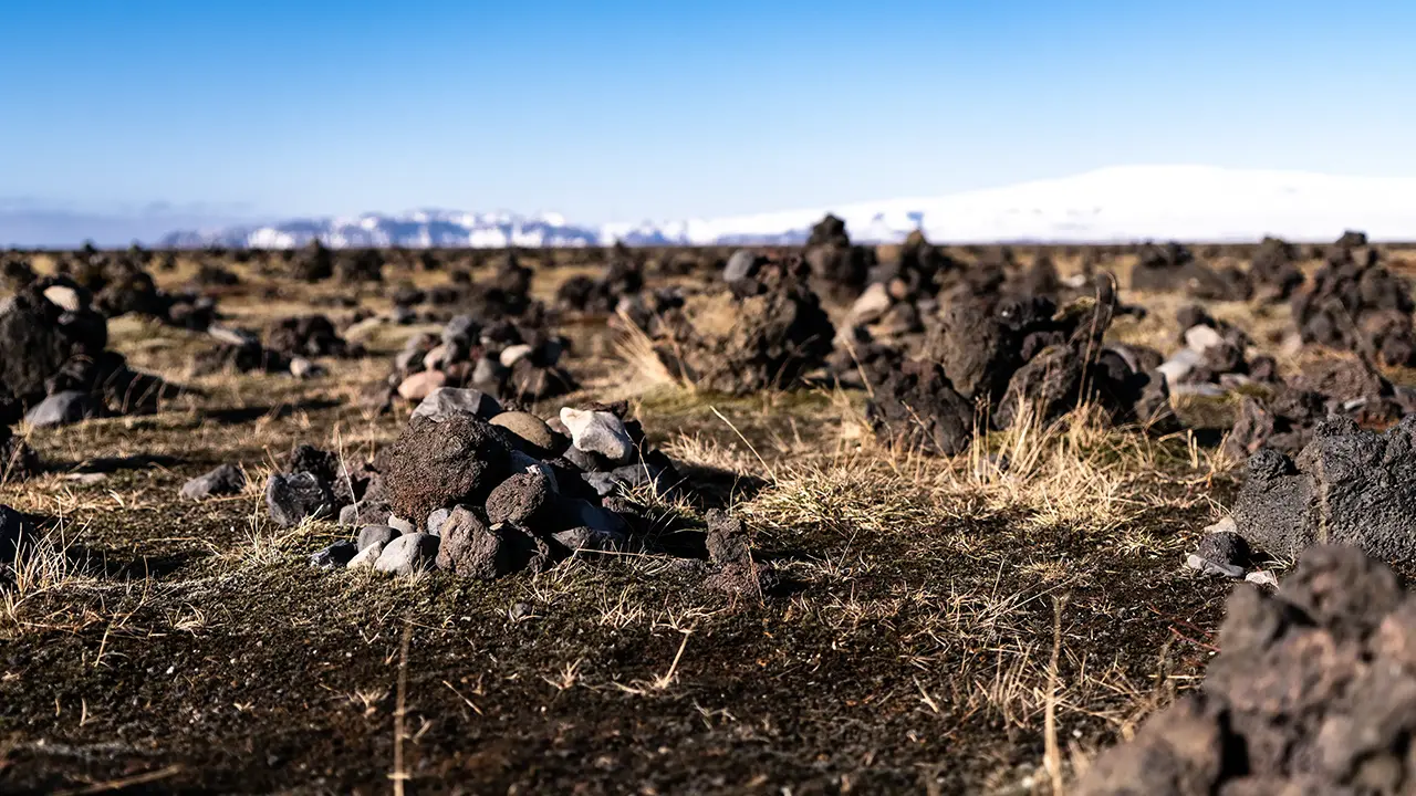
Laufskálavarða is a mound dotted with cairns beside the Ring Road, just east of Mýrdalssandur. There is a parking area here too. Travelers crossing Mýrdalssandur for the first time apparently used to build a cairn here for good luck on their journey.
Eldhraun
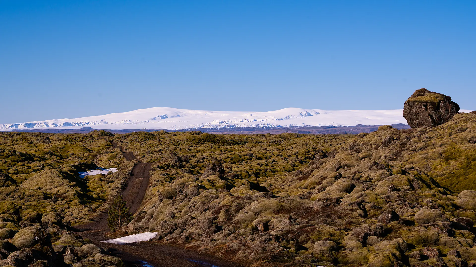
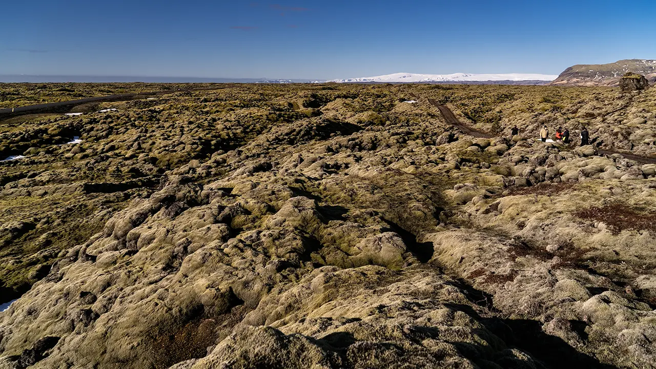
Further east from Mýrdalssandur, the landscape becomes the moss-covered lava field of Eldhraun. The parking area was easy to find beside the Ring Road. Walking paths led through the moss-covered landscape, and a dirt road seemed to begin there too.
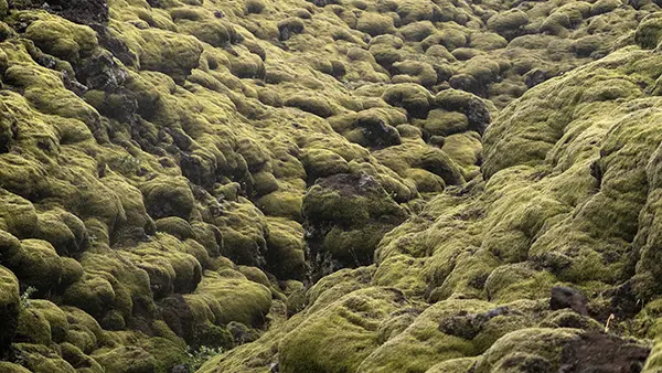
Eldhraun’s vast lava field is covered in a thick blanket of moss. The lava apparently came from the 18th-century Laki eruption. The great white expanse in the background is the Mýrdalsjökull glacier.
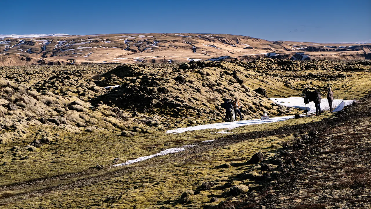
A film crew and a few tourists were there. The crew seemed careful to keep their equipment off the moss, placing it on bare ground or snow instead. That made me think they might be filming a program about nature conservation. I wonder what sort of program it was. Since this is apparently where Justin Bieber rolled on the moss, perhaps it was an educational program showing what not to do… Pure speculation on my part.
The film crew
The tourists stayed on the dirt road too.
When I returned in August, the moss was a vivid green.
Fjaðrárgljúfur canyon is nearby, but I cover it on a separate page.
Kirkjubæjarklaustur
Kirkjubæjarklaustur is a small settlement of around 200 people on the Ring Road. Yet it has the services needed for daily life and travel, including a gas station and a supermarket. As one of the few service centers between Vík and Höfn, it is something of an oasis. I stayed at a hotel nearby for two nights in April, precisely because there were so few other places to stay in the area.
Geographically, the lava fields of Eldhraun lie to the east. The Skaftá River flows south of the settlement, and vegetation grows in the surrounding area. In April, when I took these photographs, it was perhaps still too early in the year: the landscape remained dressed for winter. On the August tour, the greenery was vivid, but we merely passed through without a dedicated photography stop.
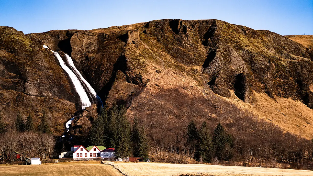
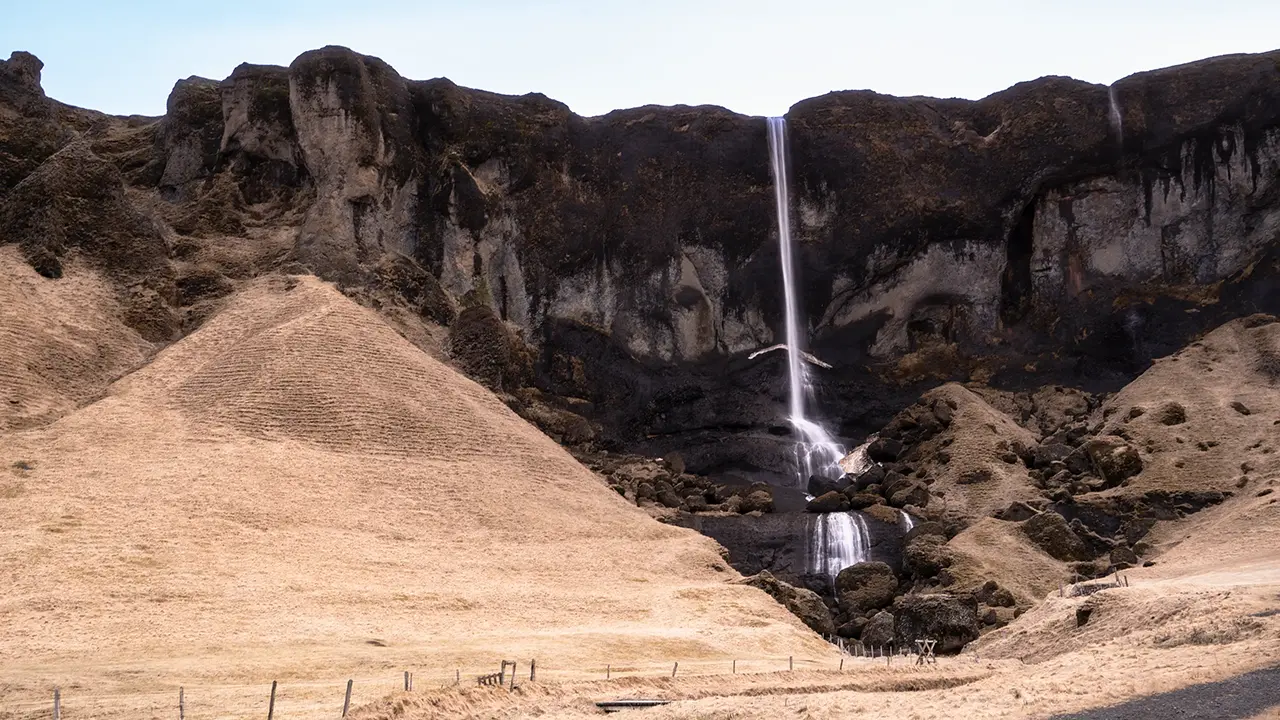
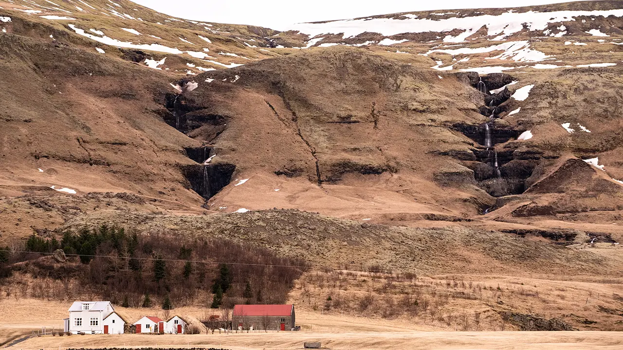
The former sea cliffs, now standing inland, run for about 40 kilometers along the north side of the Ring Road, from around Kirkjubæjarklaustur to near Skeiðarárjökull.Many waterfalls descend from them, including Systrafoss and Foss á Síðu, shown here. Even the unnamed falls have plenty of character. Towards the eastern end, I found the farm at Kálfafell especially picturesque, with its farmhouse and a waterfall with two hollows, one on either side. Broad lowlands spread below the cliffs, continuing east into Skeiðarársandur, dotted with gentle streams and small lakes and ponds.
Systrafoss
Foss á Síðu
Morning scenery near the hotel
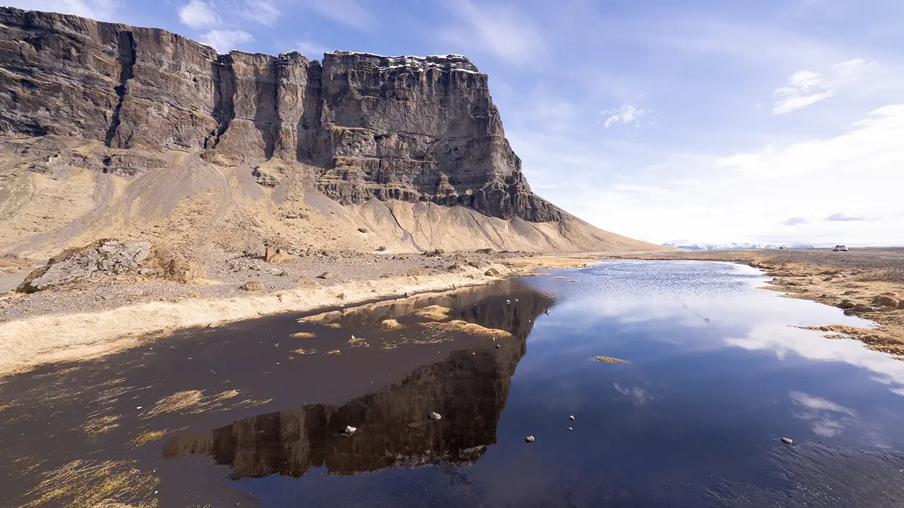
At the foot of Lómagnúpur
A waterfall near the farm at Kálfafell
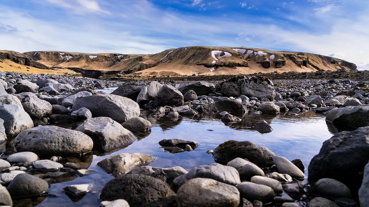
A stream at Kálfafell
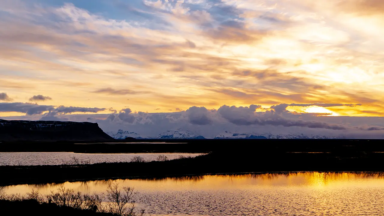
My hotel stood in the middle of a plain towards Eldhraun, with nothing obstructing the view. The morning scene I found on a walk nearby was particularly memorable. Lómagnúpur was visible, with snow-covered mountains around Skaftafell behind it. Sunlight glittered on the ponds in the foreground. A scene with everything in it.
At Lómagnúpur, east of Kálfafell, this line of cliffs reaches its greatest height. Beyond the mountain, the Ring Road leaves the escarpment and heads onto the straight roads across Skeiðarársandur.