On my solo trip in April, I planned to leave Flúðir, where I had spent my second night, and head northeast along Route 32 before turning south onto Route 208. I would cross the Fjallabak highlands, with their colorful mountains and many other scenic spots, and rejoin the Ring Road west of Kirkjubæjarklaustur. I had wanted to see those colorful mountains ever since I started planning the trip. They were also the reason I had booked the helicopter tour that was canceled on my first day.
Flúðir
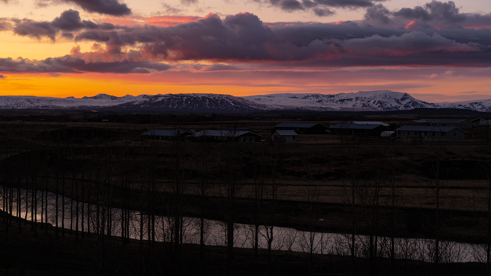
At my accommodation in Flúðir, I arrived in time to enjoy the evening light, then got up early for the dawn. It was called Icelandair Hotel Fludir at the time, but now seems to be The Hill Hotel At Flúðir .
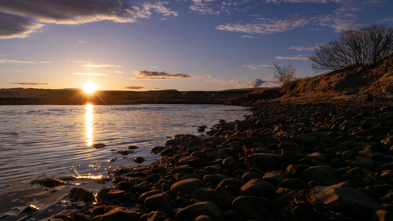
I took the first photograph from the driveway in front of the hotel. For the second, I crossed the road and found a way down to the river, so I went to have a look. The bank glowed red, rounded stones lay scattered along the shore, and the partly frozen water glittered. A beautifully crisp morning.
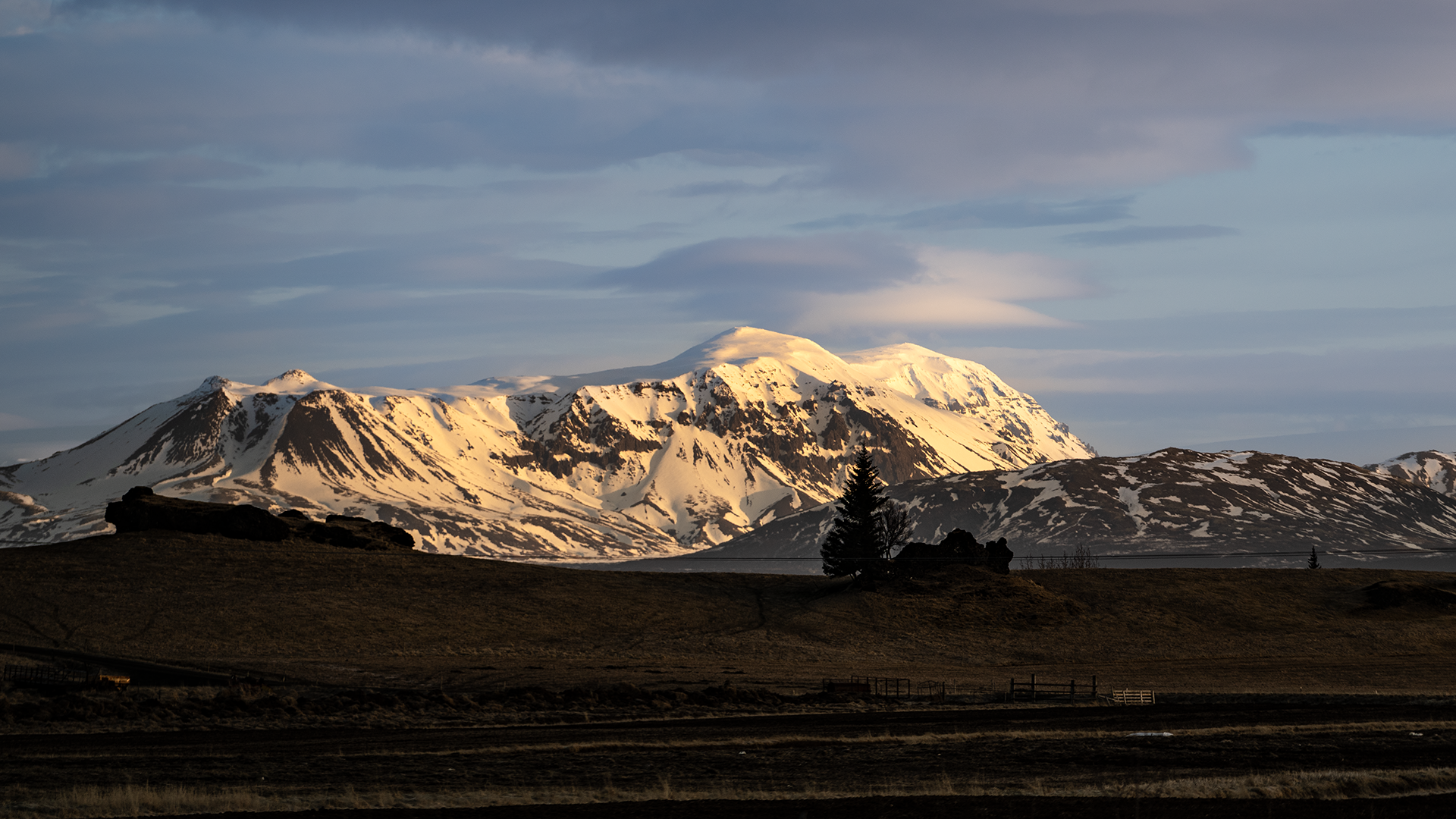
Before long, Hekla came into view, lit by the morning sun. It was about 7:30 a.m. I had left early because I expected a long drive that day, and it looked as though that had paid off. The name reminds me of "hell," though the words are unrelated. Ironically, medieval Europeans apparently did fear it as a gateway to hell.
There were many places along Route 32 that I wanted to photograph.
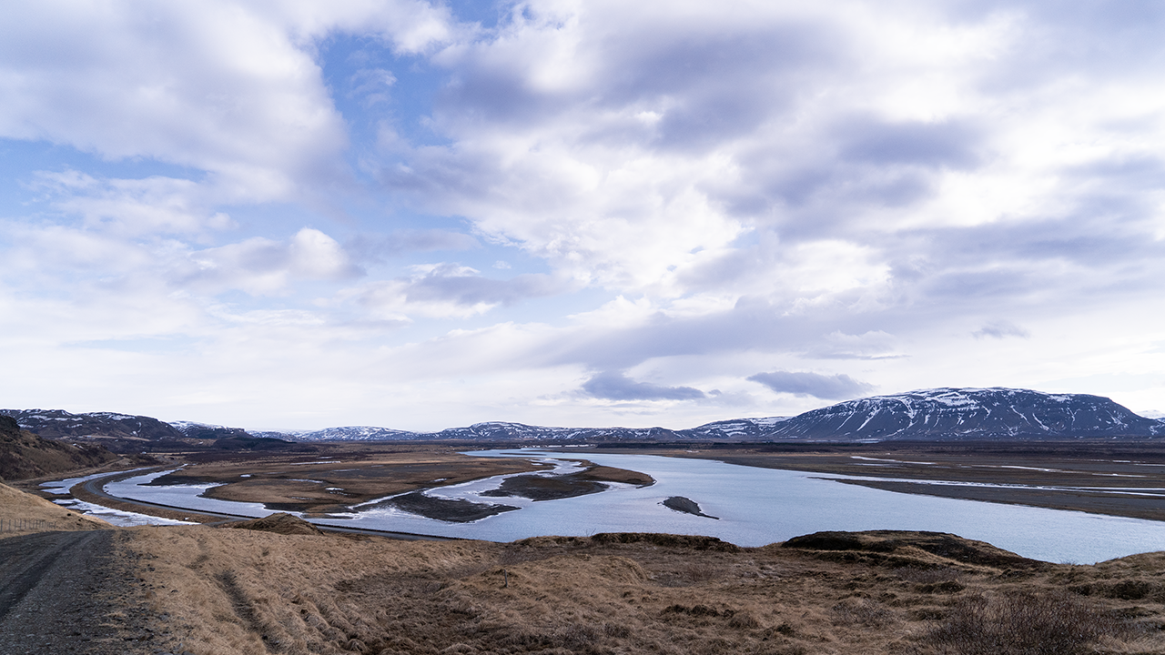
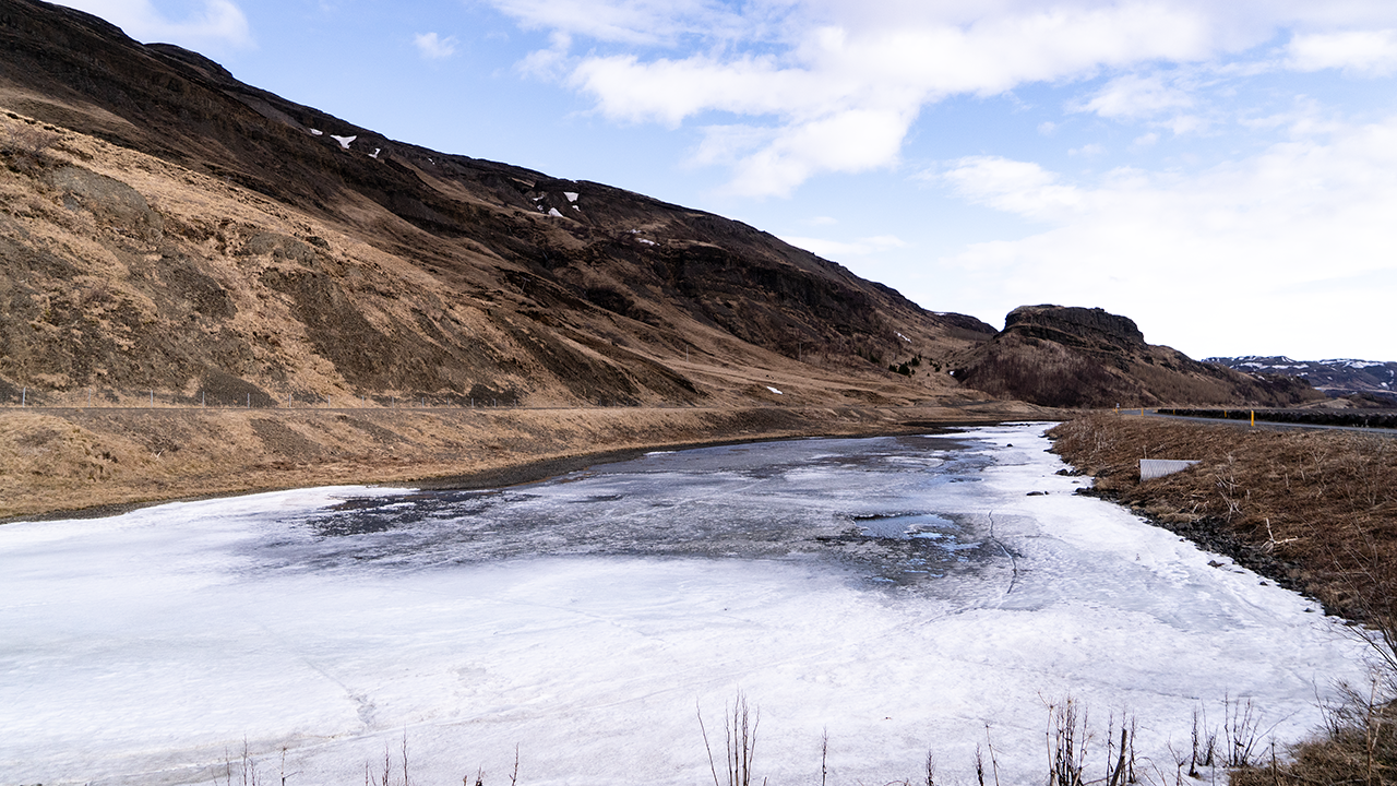
The Þjórsá River ran alongside the road, its water spread across a broad riverbed in several channels. It looked as though it could produce quite a flood. Some of the channels were frozen. April or not, spring still seemed a long way off.
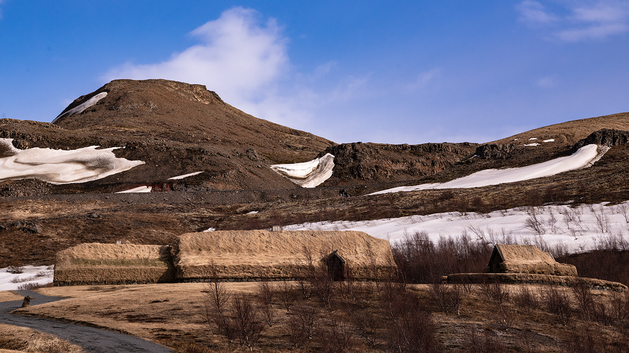
The long turf-covered buildings in the third photograph caught my eye. I had no idea what they were, but took a photograph anyway. Looking them up later, I found that they were apparently Þjóðveldisbærinn, the Commonwealth Farm, a reconstruction based on the farm at Stöng that was buried in ash when Hekla erupted in 1104. So that beautiful mountain I had just seen had once erupted on such a scale. Another reminder of how volcanically active Iceland is. The site seems to be a museum, but the entrance gate was closed when I visited, so I took the photograph from outside.
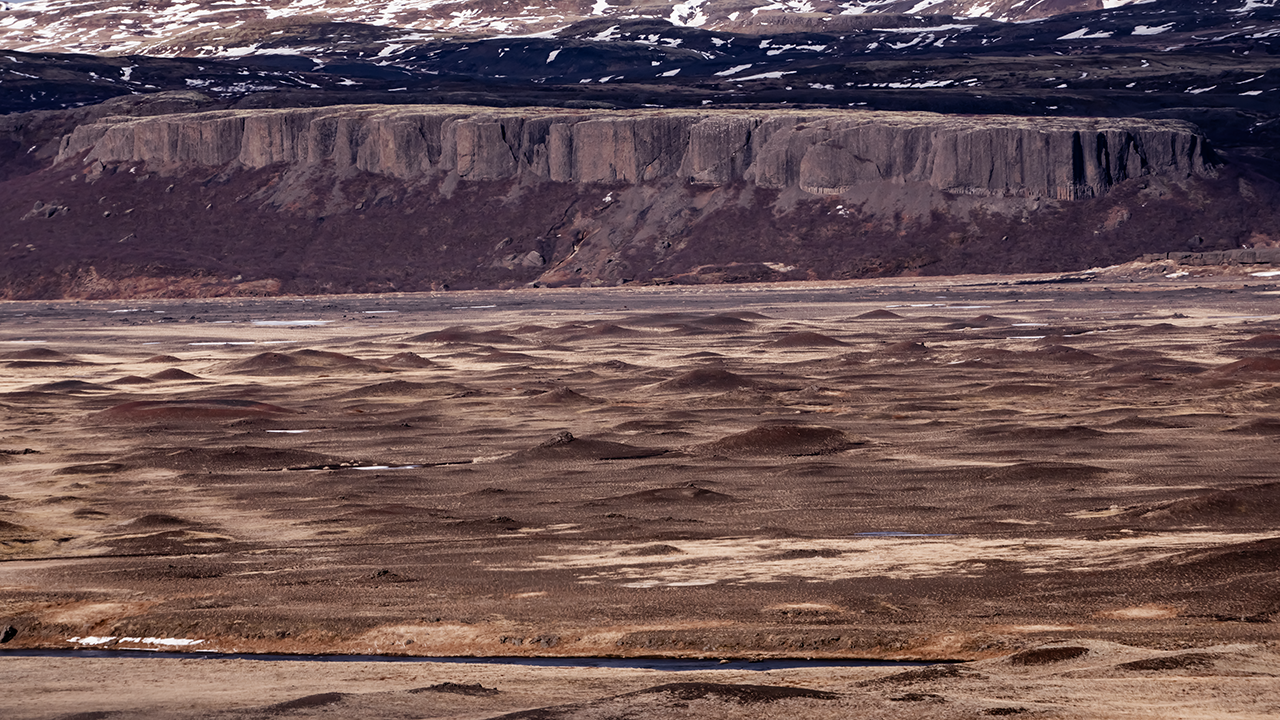
Just after I rejoined Route 32 from the reconstructed farm, I could look down into a valley to the west. Barren volcanic land spread out below, with a sheer cliff at the end of the mountains in the distance. Looking more closely, I noticed countless small bumps in front of it, almost as though someone had pinched bits of cloth and pulled them upwards. Their shapes intrigued me, so I looked them up. They were pseudocraters, or gervigígar, formed by steam explosions when lava flowed into a lake or wetland and met water. Yet another volcanic landform.
The photographs I took around here are not very good quality. Something seems to have gone wrong with the camera or lens settings. This one is particularly grainy; I am not sure whether that had anything to do with shooting with a telephoto lens. Even a small mistake shows up in the photograph. A bit of a shame.
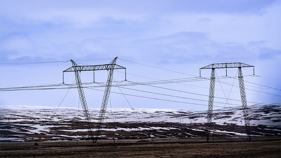
Why are their shapes different?
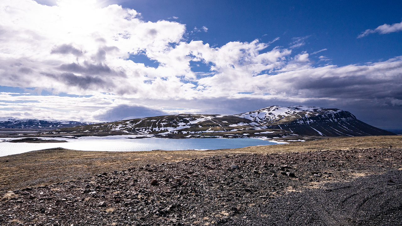
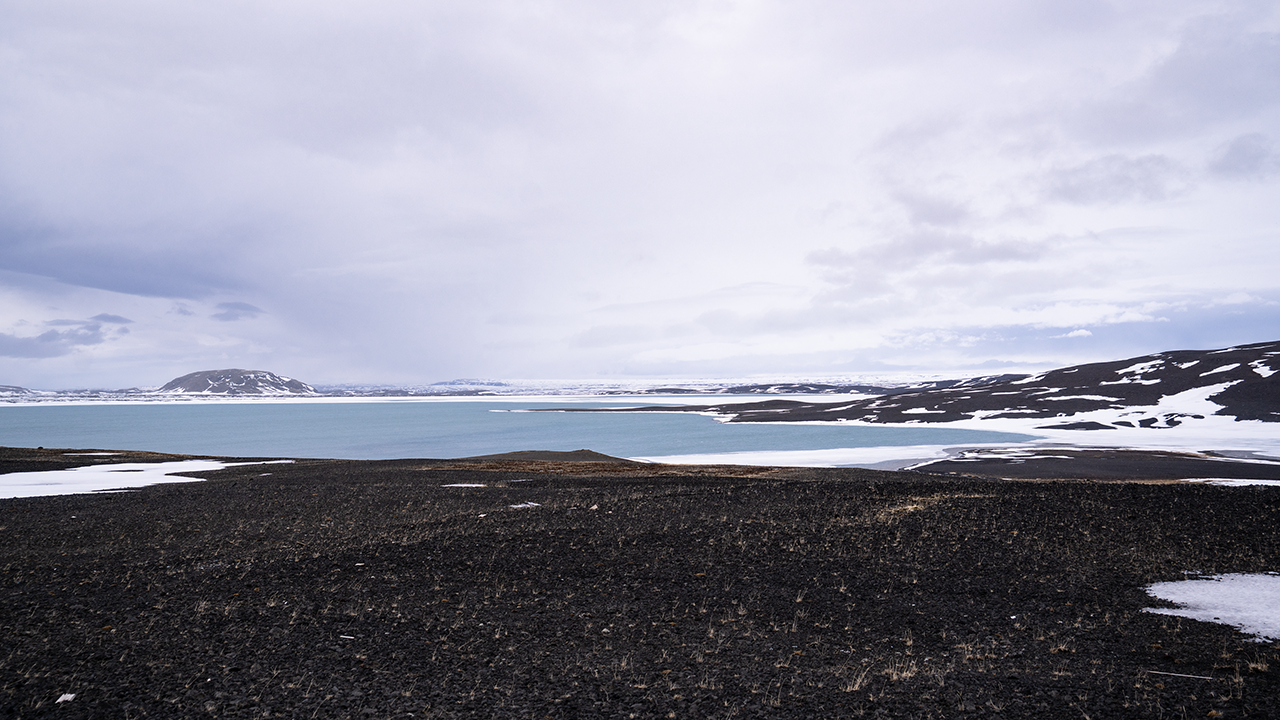
I had been driving with rivers and lakes on my right. The road left the water for a while, and when it came back alongside it, the view had opened out across a much wider stretch of water. Apparently, this was a reservoir built for hydroelectric power. Beside the road were transmission pylons of different shapes and wind turbines. It certainly felt like an area with a lot of renewable-energy facilities. And yet the scenery was spectacular too: blue sky, lake water and mountains still holding snow, all in beautiful contrast.
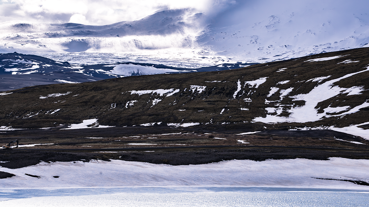
The third photograph shows the lake, a line of dark mountains beyond it, and a snowy mountain peeping out farther back. Clouds seem to spill down from it like a waterfall. The telephoto view compresses the distances, so I cannot be sure, but I think it is a mountain near Torfajökull glacier, about 30 km away. Whatever the exact location, it was a magnificent sight.
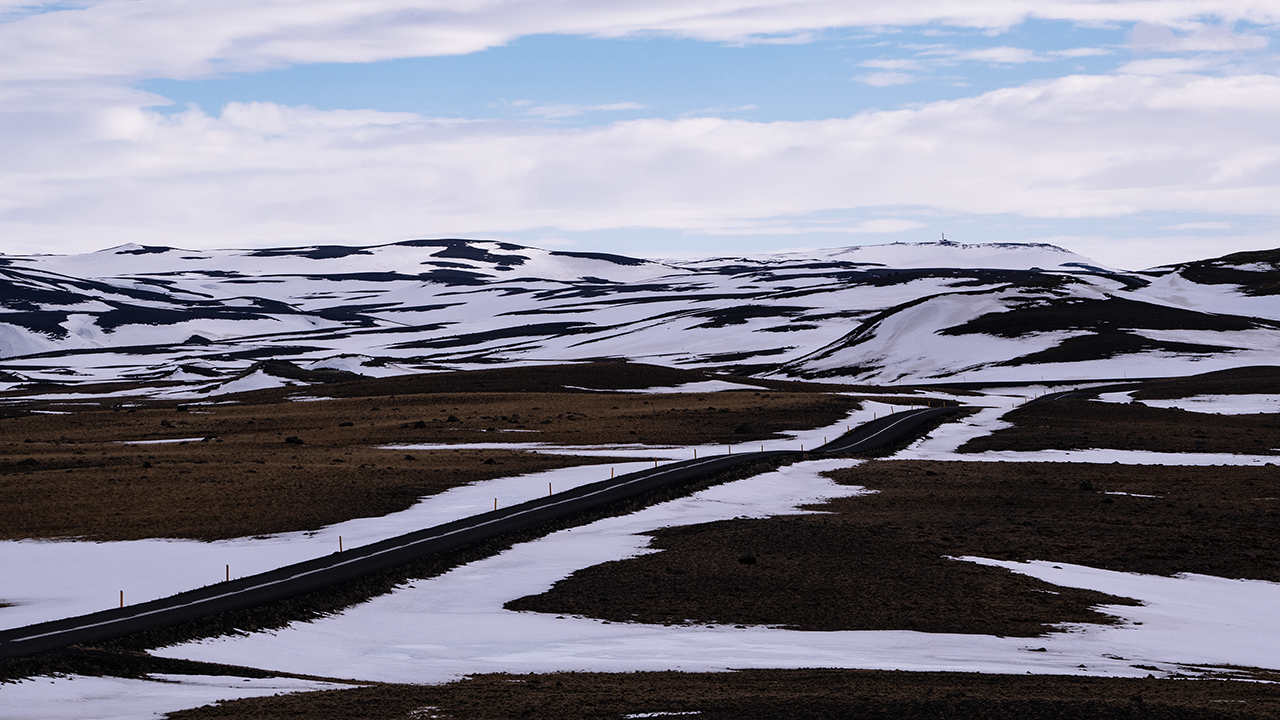
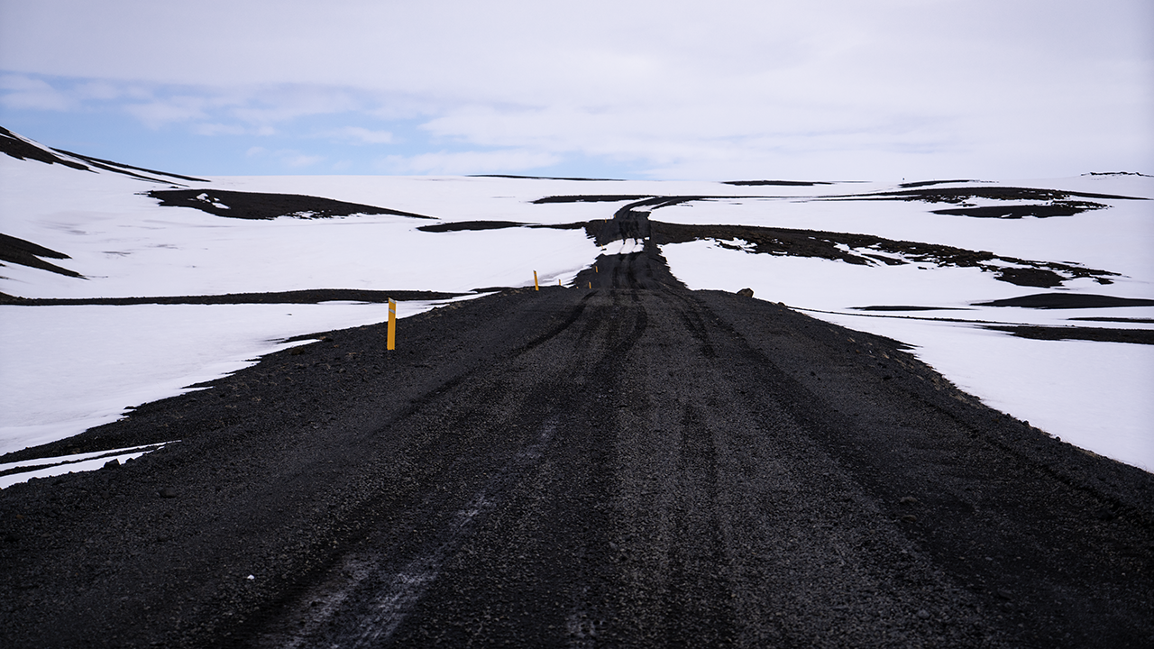
I drove on through wild country where the snow had yet to melt. The road rose and fell over hills and passed close to the water. Eventually the pavement gave way to an unpaved road, with more and more patches of snow still lying on it. The lake in the third photograph is Hrauneyjalón, apparently a reservoir built for power generation.
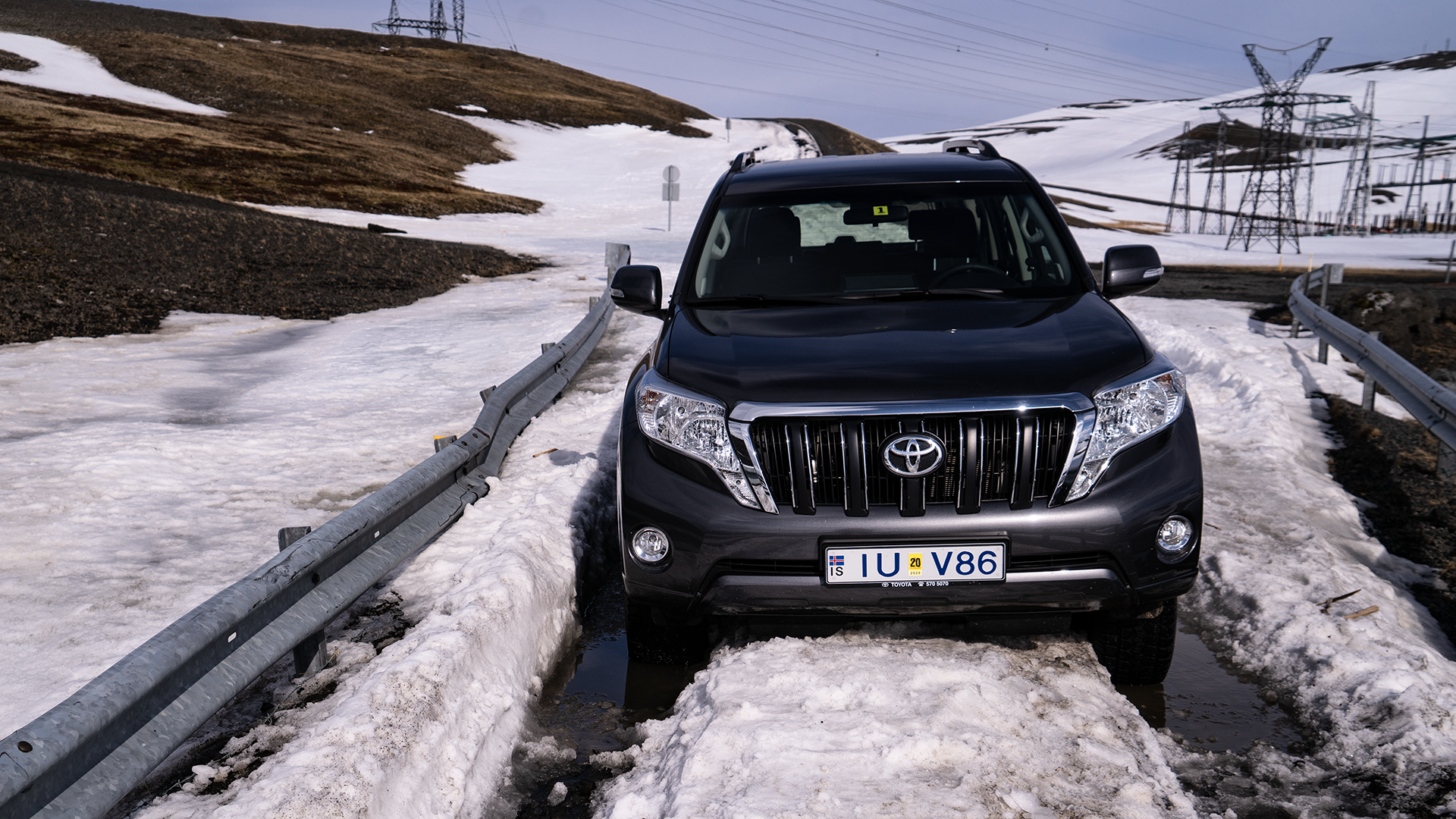
And then I ran into trouble. The Land Cruiser got stuck, and I could not move it at all.
Pushing did no good. I just could not get it out. I was getting anxious, but called 112, the emergency number I had been given when I hired the car. I explained that I was on Route 208, on a bridge beside a lake, with a power station and several power lines in view. They understood where I was. Help would be coming from around Hella and would take more than an hour, so I walked around and had a nap while I waited. Another car turned up, apparently with tourists in it. They helped me push and we tried again, but still no luck. During the phone call, I had learned that the road was closed for winter and had not yet reopened, so I passed that on to them. They said they had not seen a road-closed sign either, and Google Maps was showing the route as open. Honestly…
About an hour and a half later, a hefty rescue truck with huge tires arrived and pulled me out. Needless to say, that was a relief. I also learned that to reach Kirkjubæjarklaustur I would have to go around Hekla. Nearly 300 km, taking about four hours even without stops. It was already past 4 p.m. Roughly a drive from Tokyo to Sendai, and I would need breaks along the way… I was not looking forward to it.
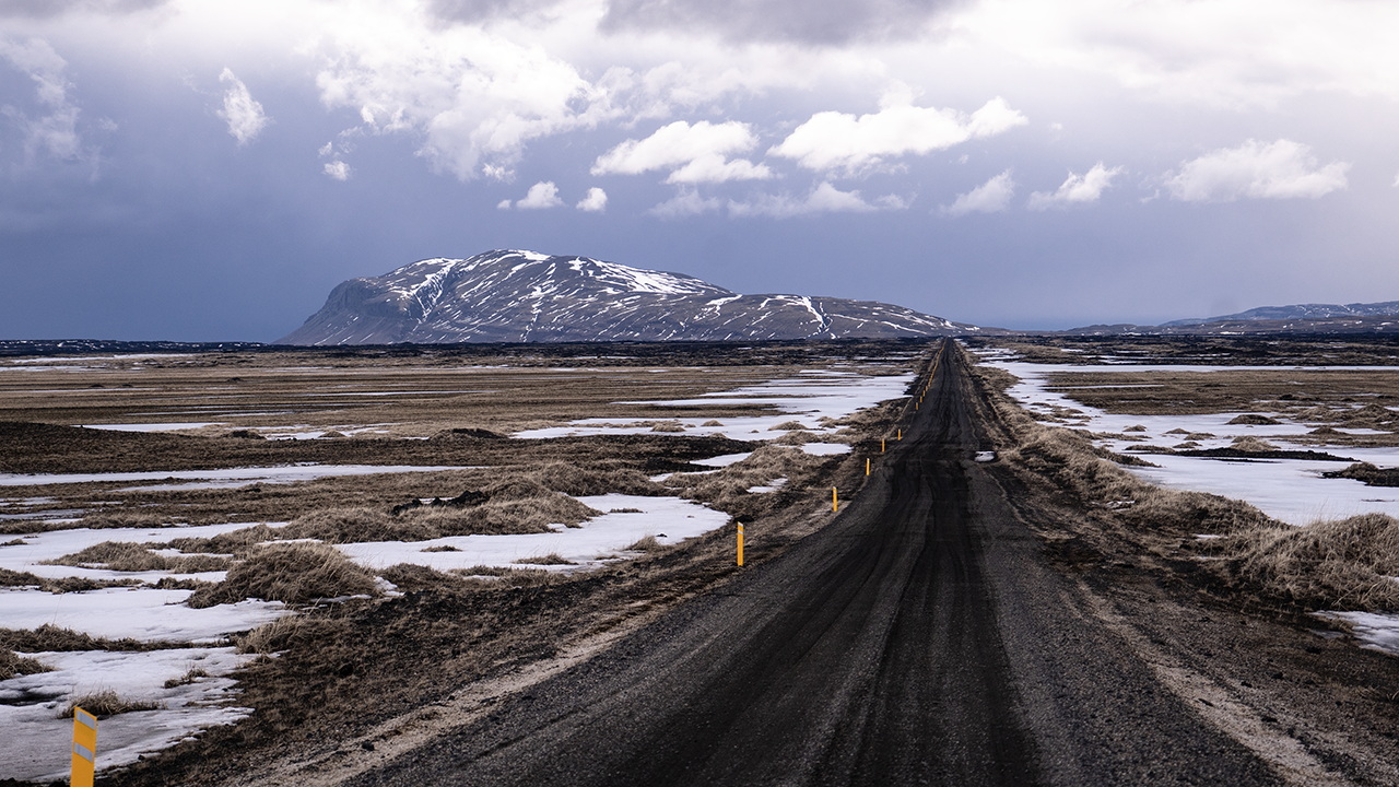
For the way back, I chose the unpaved Route 26, which branches off Route 32.
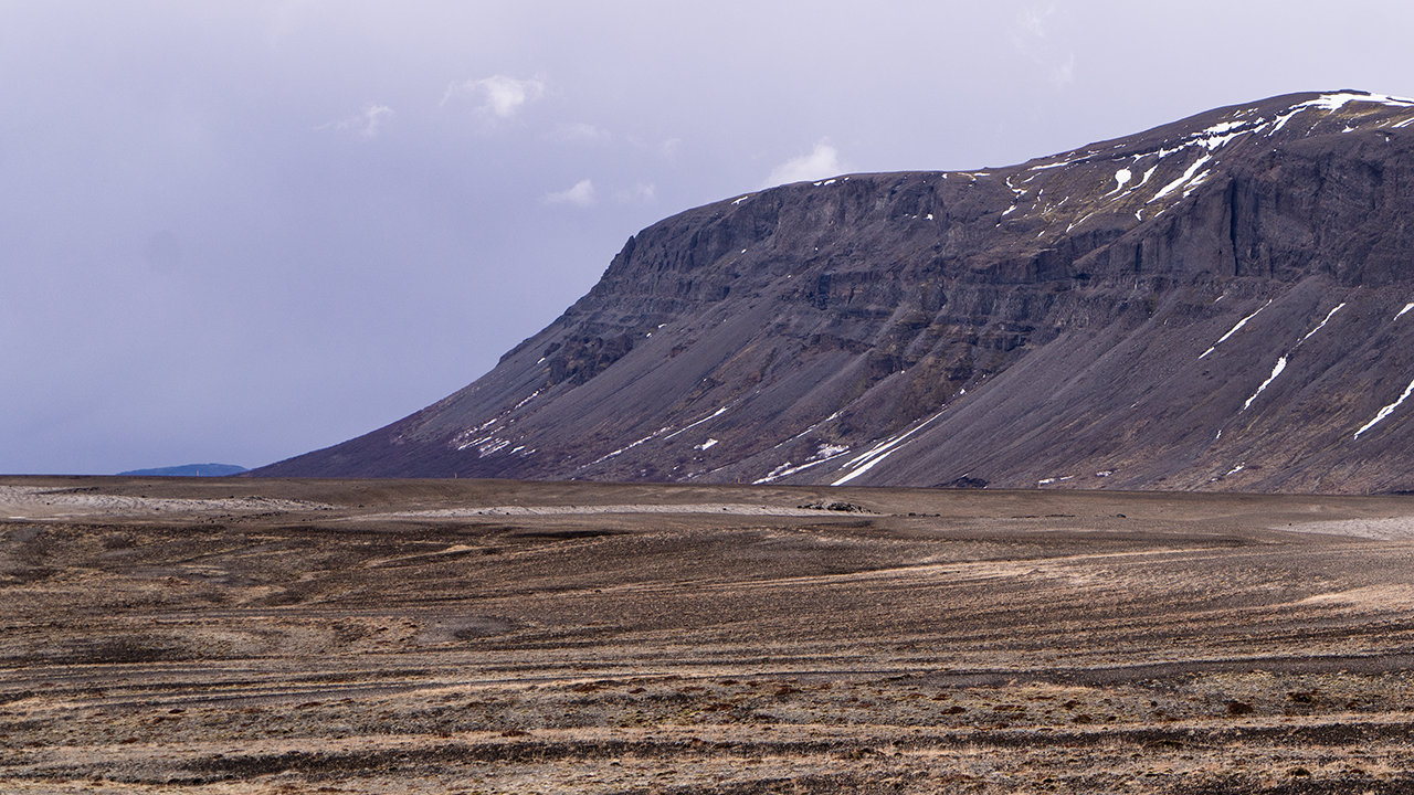
Ahead of me was Búrfell, standing alone on the plain. Its elevation is apparently 669 meters, but with nothing around it, it really stands out. Judging by its position, I think it was the mountain I had seen close by from Route 32 a few hours earlier. From this direction, though, it looked like a different mountain. While writing this travelogue, I learned that it had grown through eruptions beneath thick ice. The ice stopped it from spreading sideways, leaving it with a relatively flat top and steep sides, rather like a table.
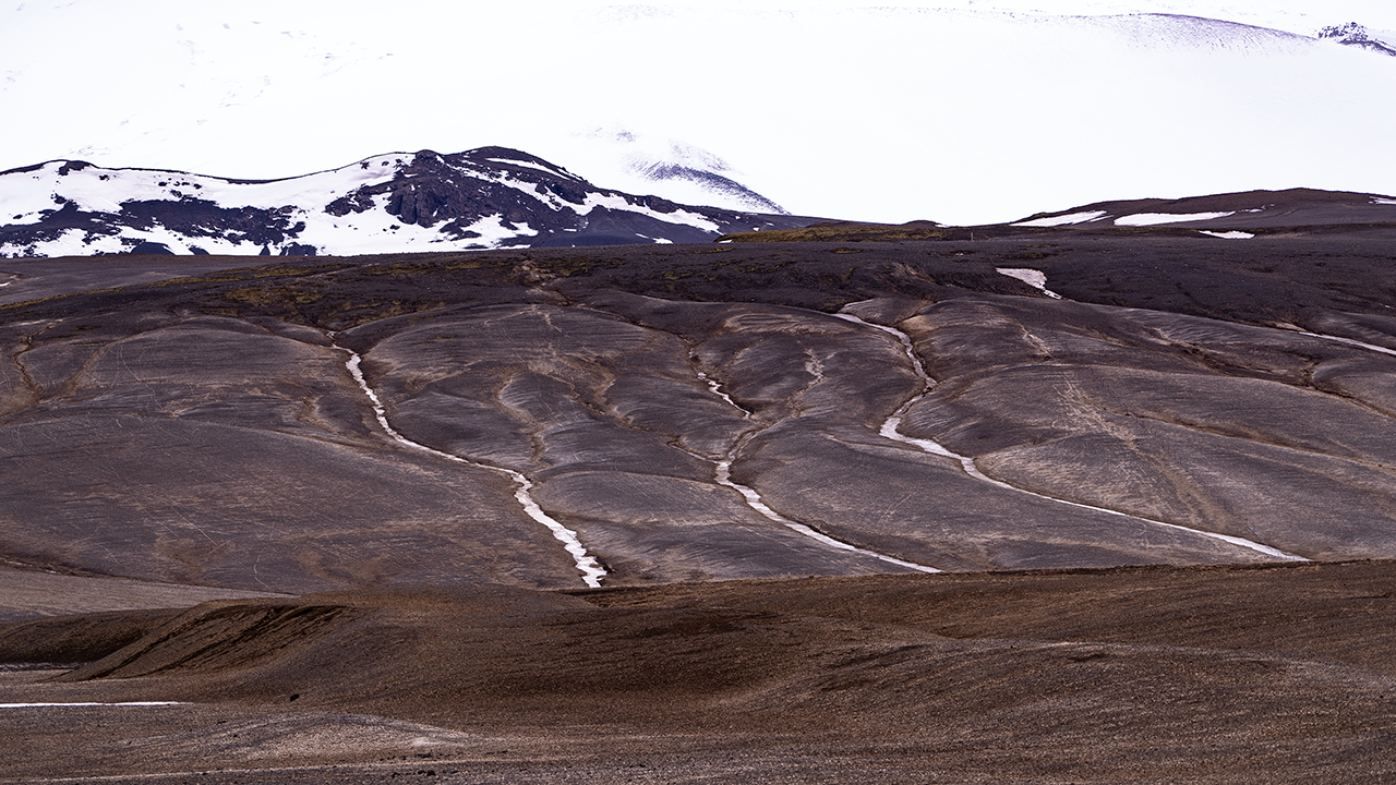
It was quite imposing up close, and the stripes around its base caught my attention. I imagined they were traces left when meltwater or heavy rain briefly sent large amounts of water down the slopes. In aerial images on Google Maps and elsewhere, they form beautiful patterns like the veins of a leaf.
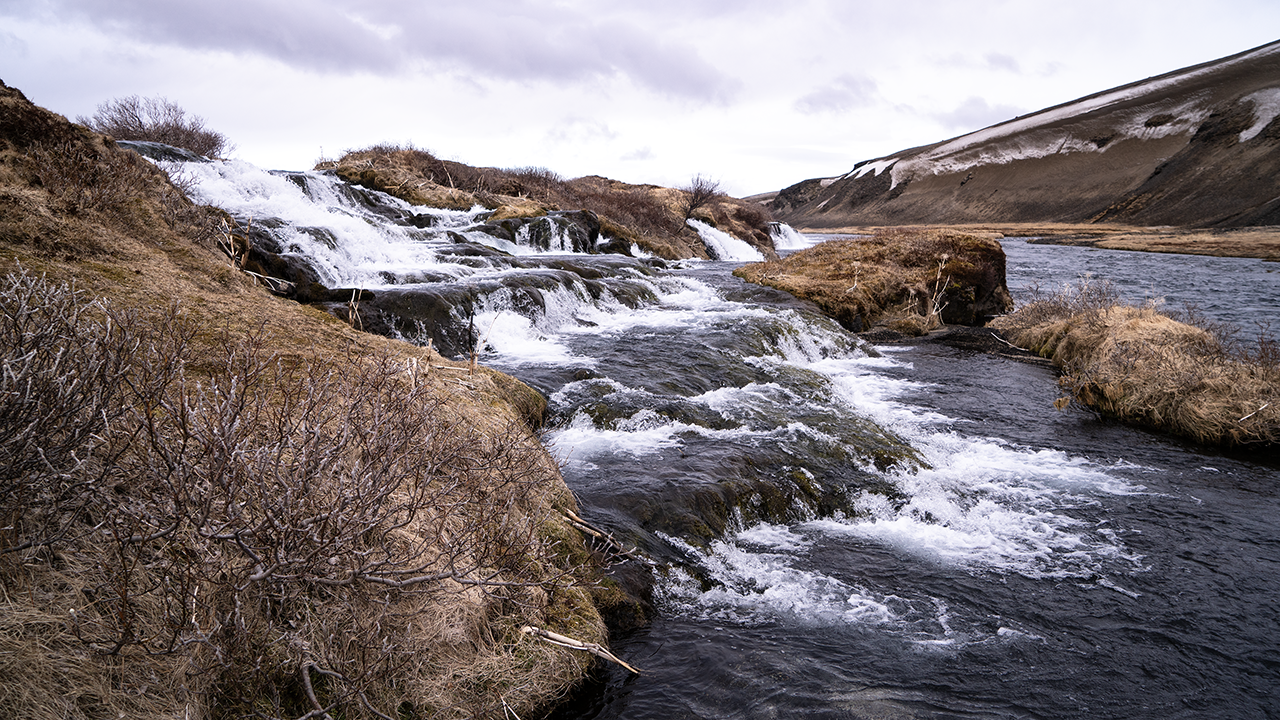
The third photograph shows a waterfall called Fossabrekkur. I saw a sign for it on Route 26 and stopped to take a break. It was so small that calling it a waterfall almost seemed too grand. The water dropped into another stream running alongside it. When I looked it up, I found that both streams are apparently headwaters of the Ytri-Rangá River, joining here to form a single river. Water that has seeped into the volcanic rock in this area is said to emerge a little farther upstream, forming the source. So this was a waterfall right near the source! There seemed to be a lot of water for that. Then again, it was April. There was probably plenty of snowmelt.
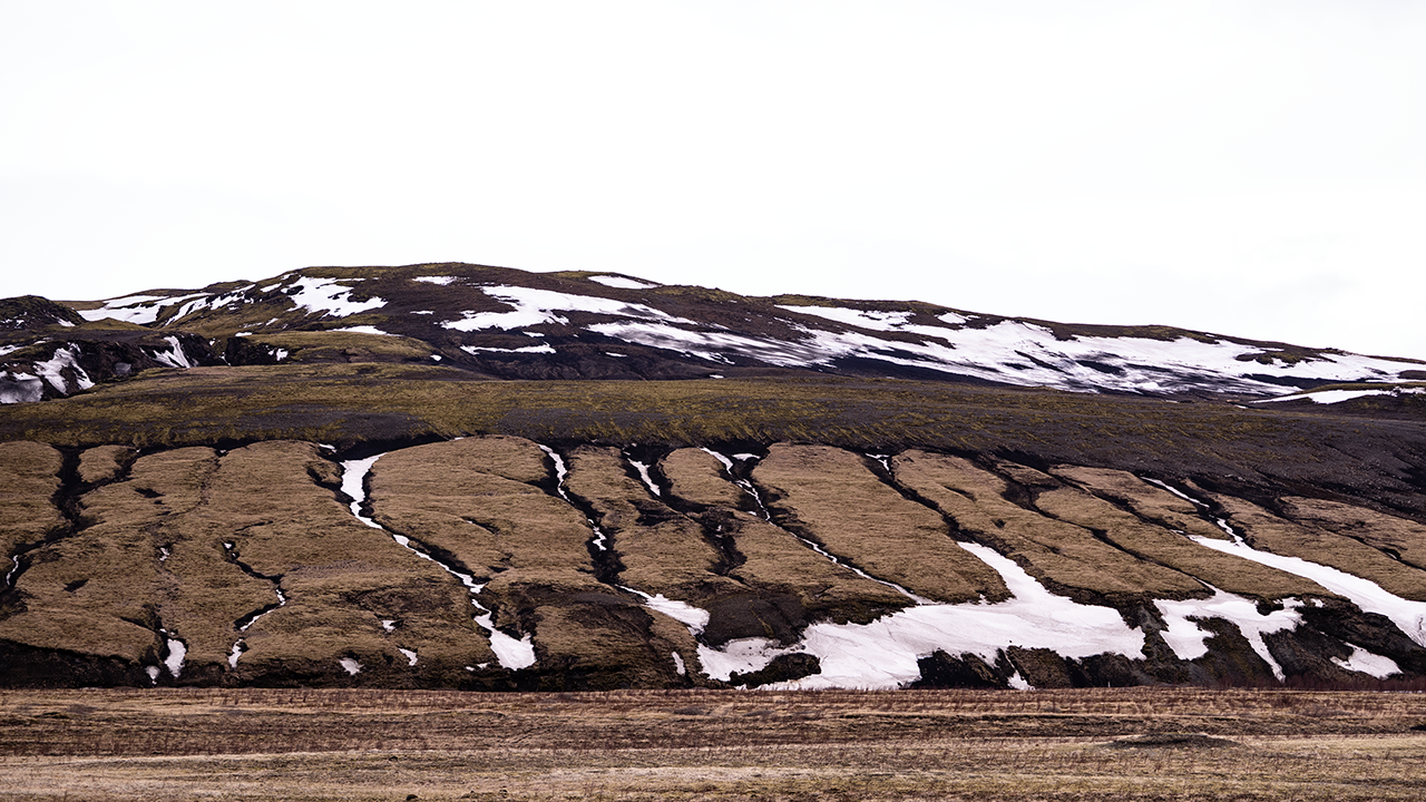
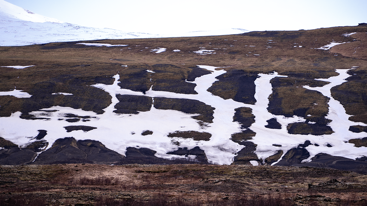
Fossabrekkur is given as the name of the waterfall. Foss means "waterfall," while brekkur is the plural of brekka, meaning a slope. Apparently, Fossabrekkur is also used for the surrounding green area. To keep things simple, I will use it as the name of the falls here. The slopes nearby had all sorts of patterns, and I kept stopping the car to photograph them as the scenery changed. Meltwater and other runoff had cut gullies into the ground. Where snow still filled them, the channels stood out like branching white limbs. I liked how the patterns looked different on bare ground, on slopes covered in vegetation, and where snow remained. Aerial images on Google Maps and elsewhere show them spreading much farther up the slopes. I would love to see them from above with my own eyes.
It was about 5 p.m. when I was at Fossabrekkur. After that, I drove with hardly any stops for photographs. I was near Hella at about 6 p.m., and it was nearly nine when I reached the hotel near Kirkjubæjarklaustur. Dinner was served until 9:30 p.m. Just made it.
That brought to an end the day I had planned as a drive across the highlands to the South Coast. I had not made it across the highlands, but I had come back in one piece, enjoyed the inland scenery of an Icelandic April when spring had yet to take hold, and even managed to get dinner. I put that down as a 90-out-of-100 day.