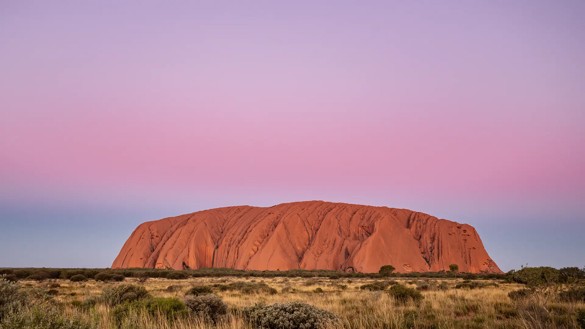
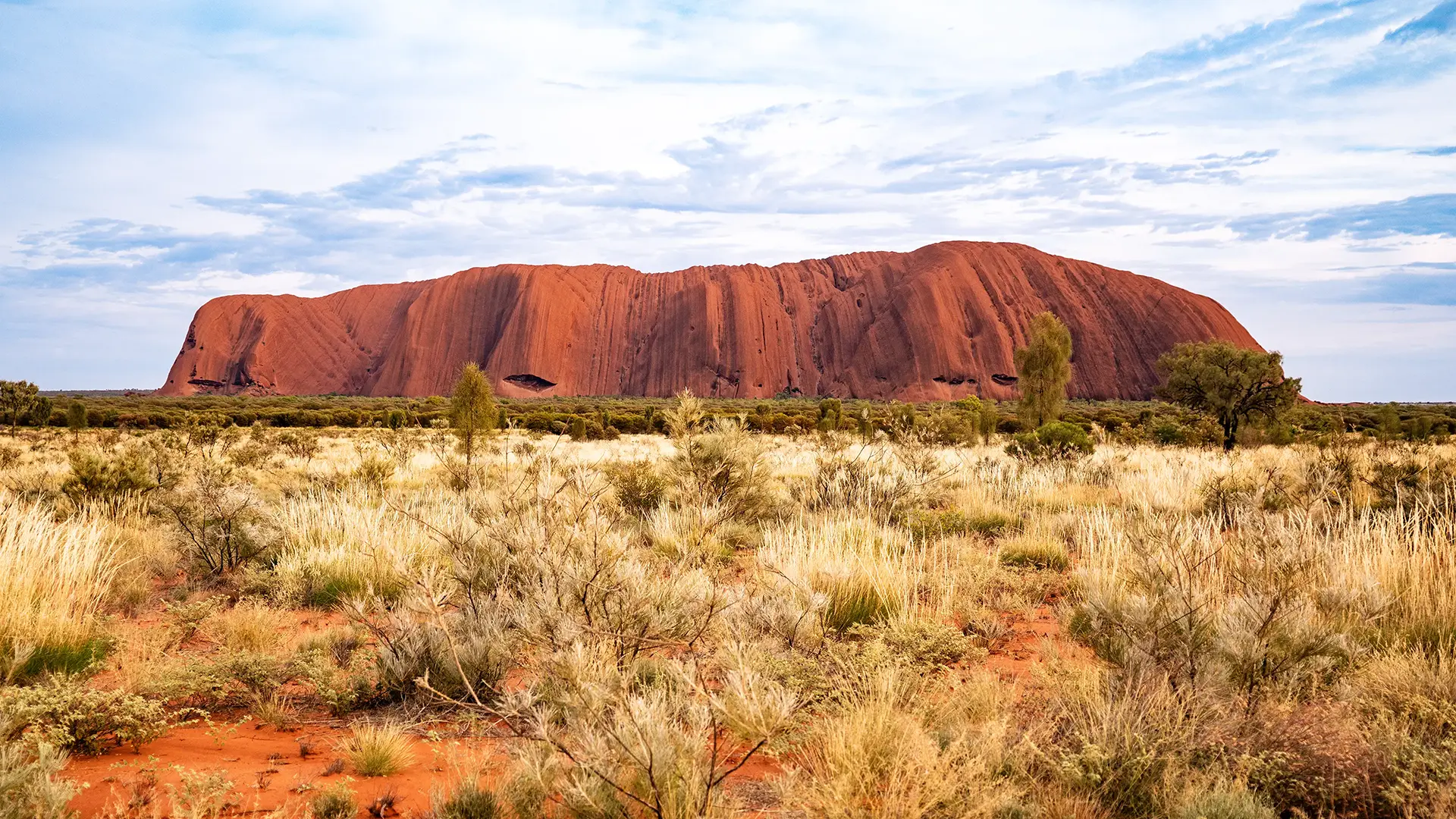
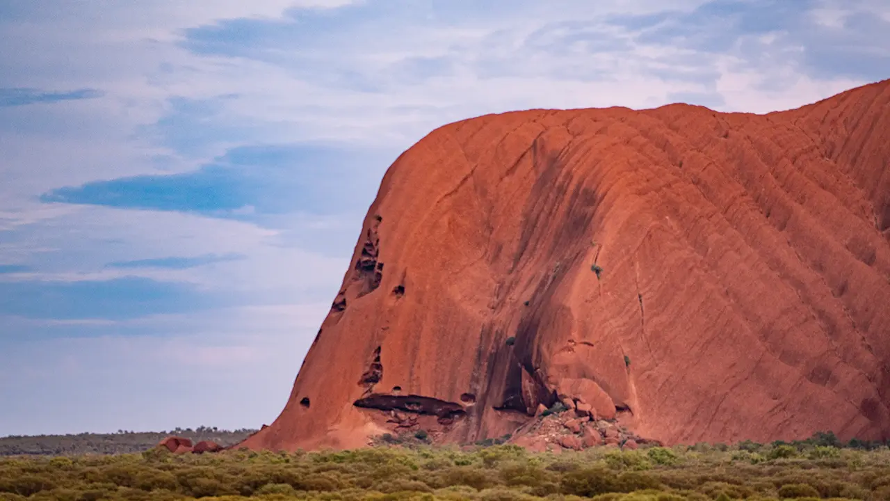
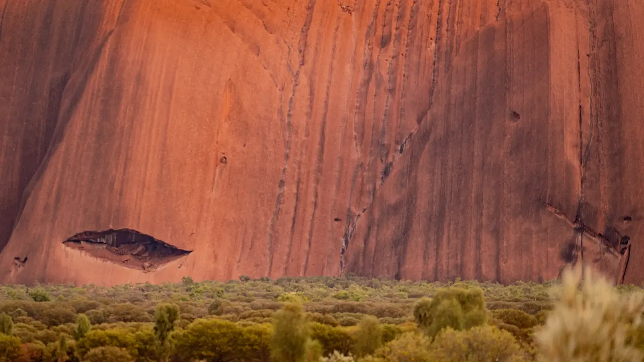
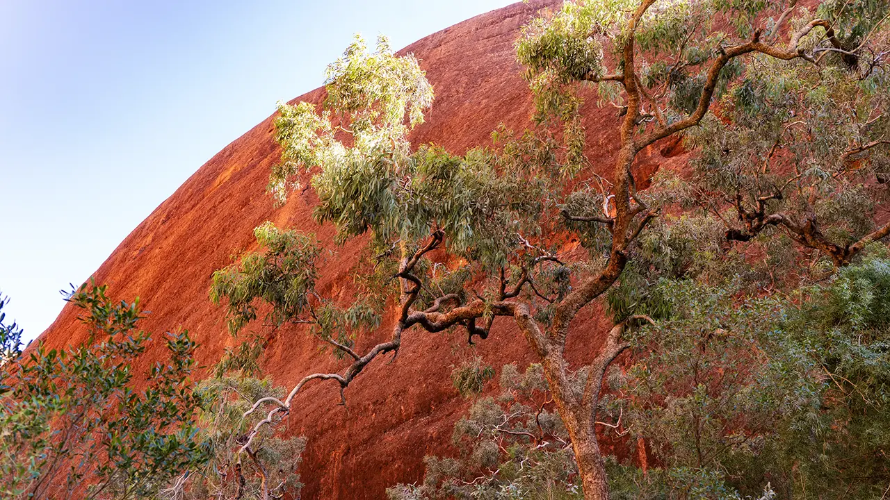
Uluru, the immense rock mass whose face changes with time and direction,
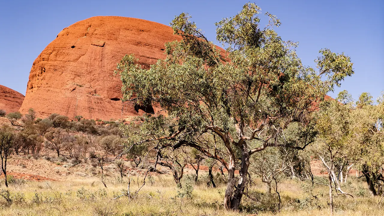
the clustered domes of Kata Tjuta, home to the Valley of the Winds,
and Kings Canyon, carved by a river through parched land.
These became the three highlights of my journey through the Red Centre.
Uluru drew me back again and again, and even the reddish-brown steppe itself, seen while moving between places, held my attention.
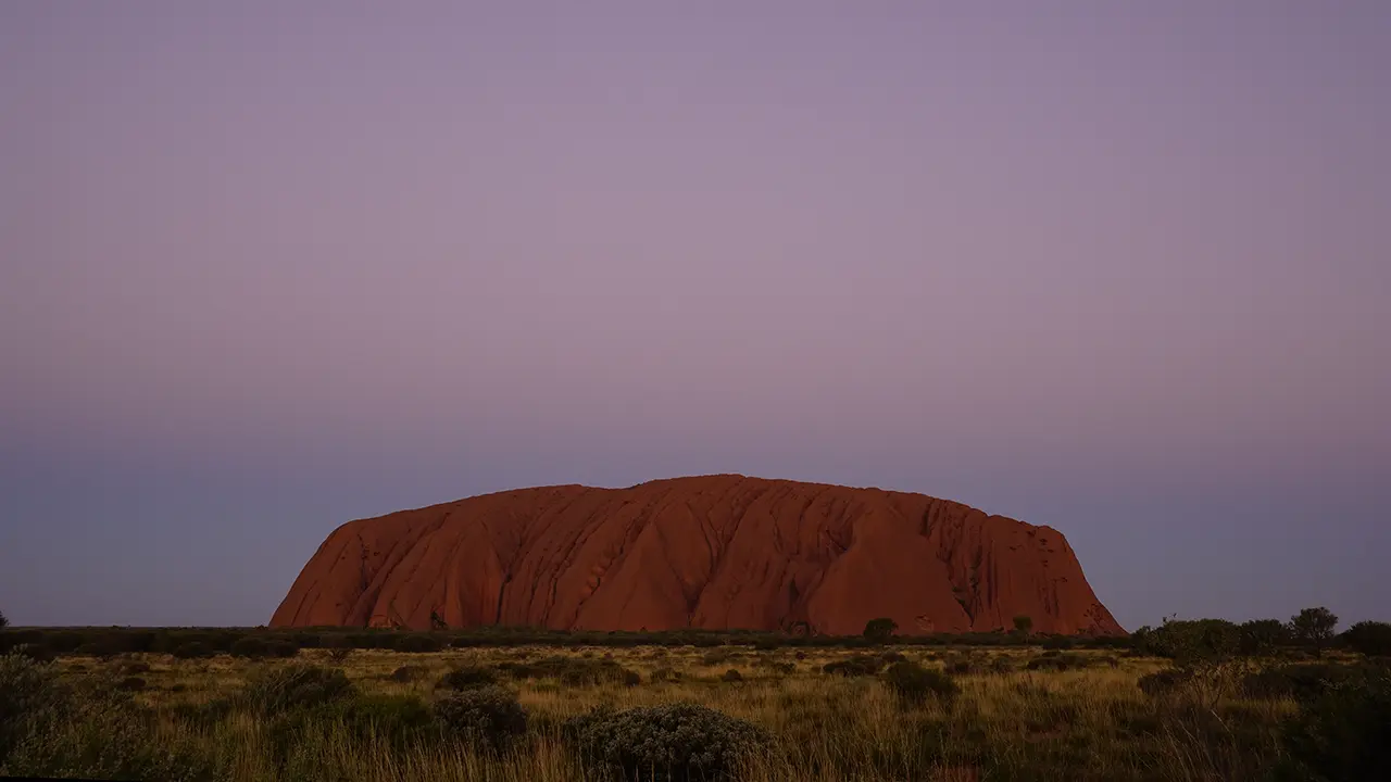
Uluru after sunset, with the pink of the Belt of Venus and the gray shadow of the Earth clearly visible.
Uluṟu
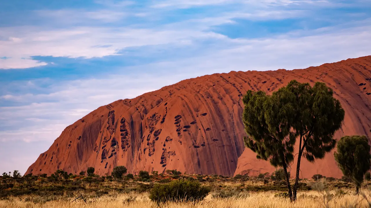
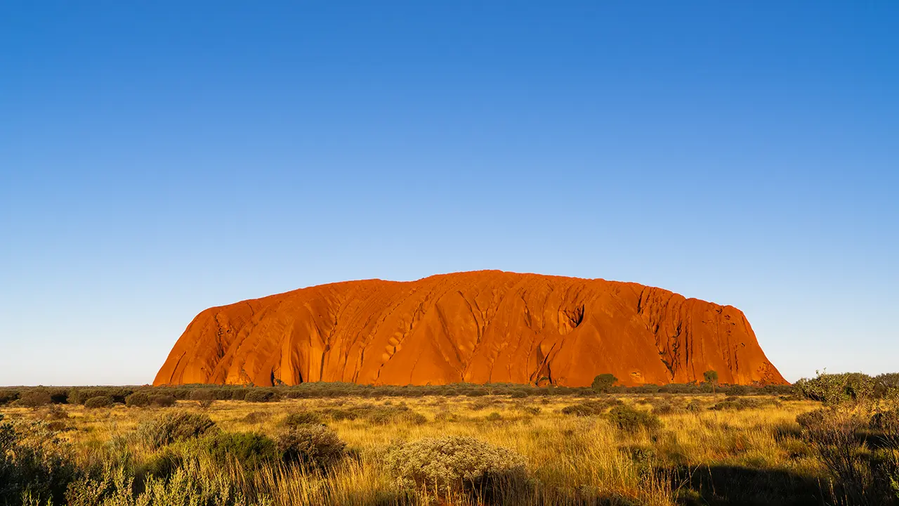
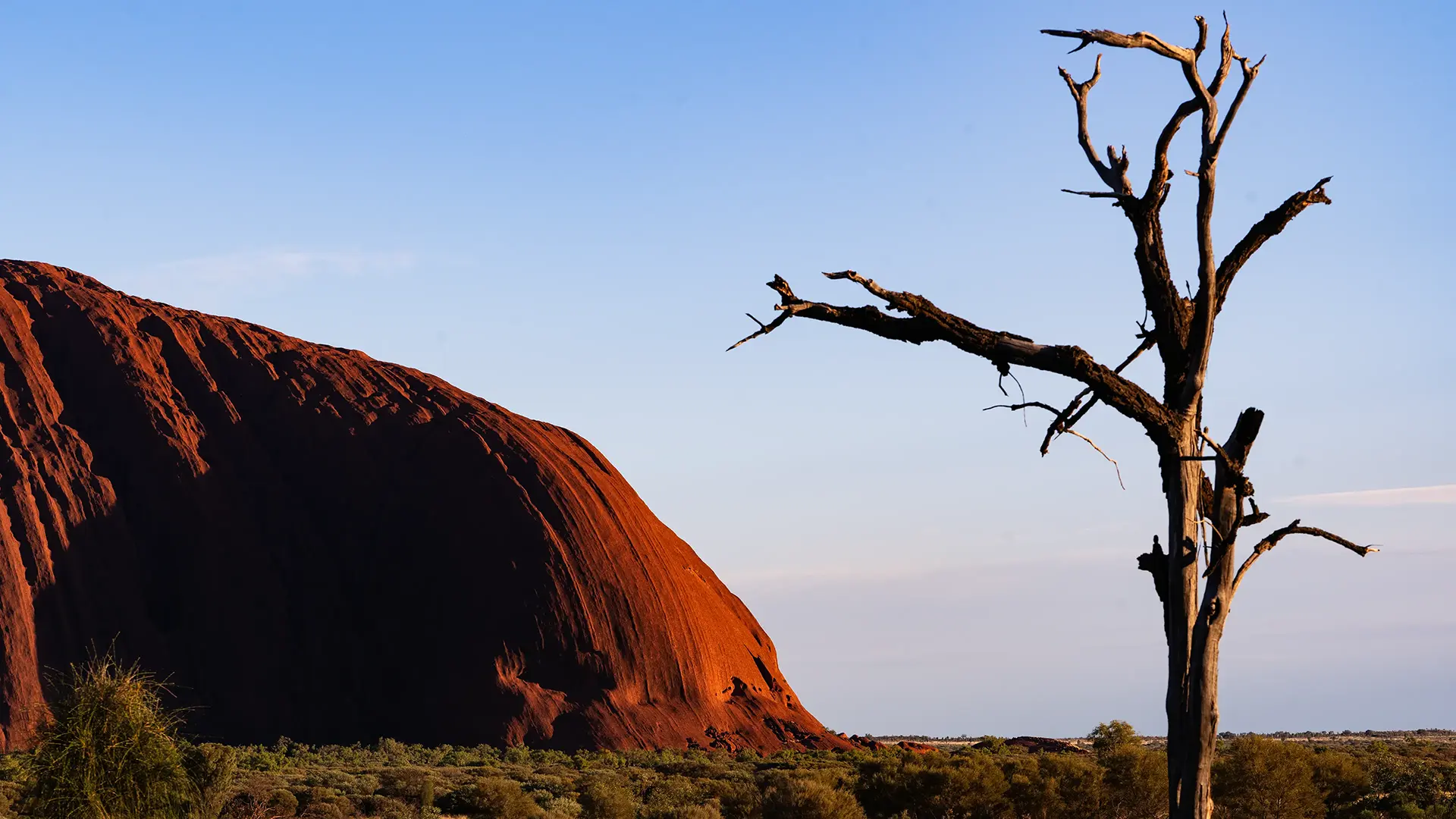
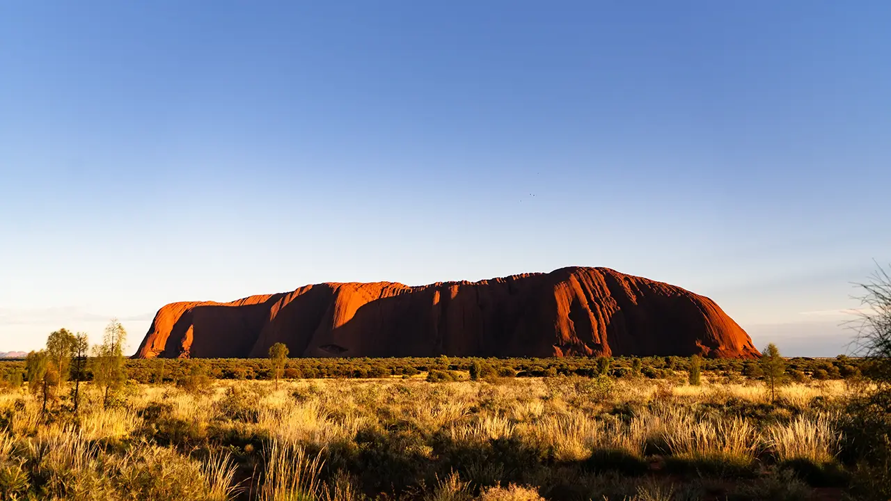
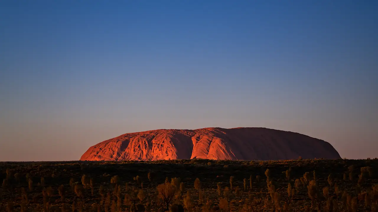
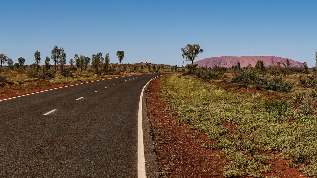
This is the familiar image of Uluru often seen in guidebooks and brochures. Before visiting, I pictured it simply as a great rock mass appearing abruptly in the steppe, and thought I would be satisfied just seeing that form from different angles. Its expression changes depending on where you stand.
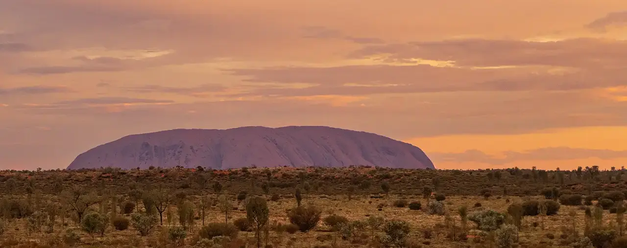
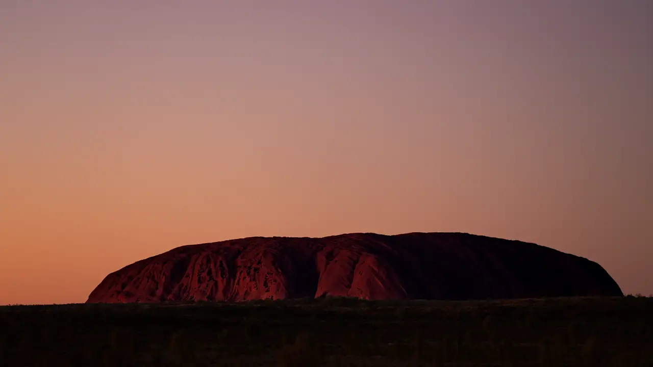
The fifth photograph was taken after I arrived at the hotel from the airport, rested for a while, and then went out. Perhaps because it was evening, the rock looked slightly purple against the orange sky. From the start, I realized that Uluru could look quite different from the familiar images, depending on place and time. Access around Uluru is restricted both by car and on foot, so it is not something you can view from just anywhere.
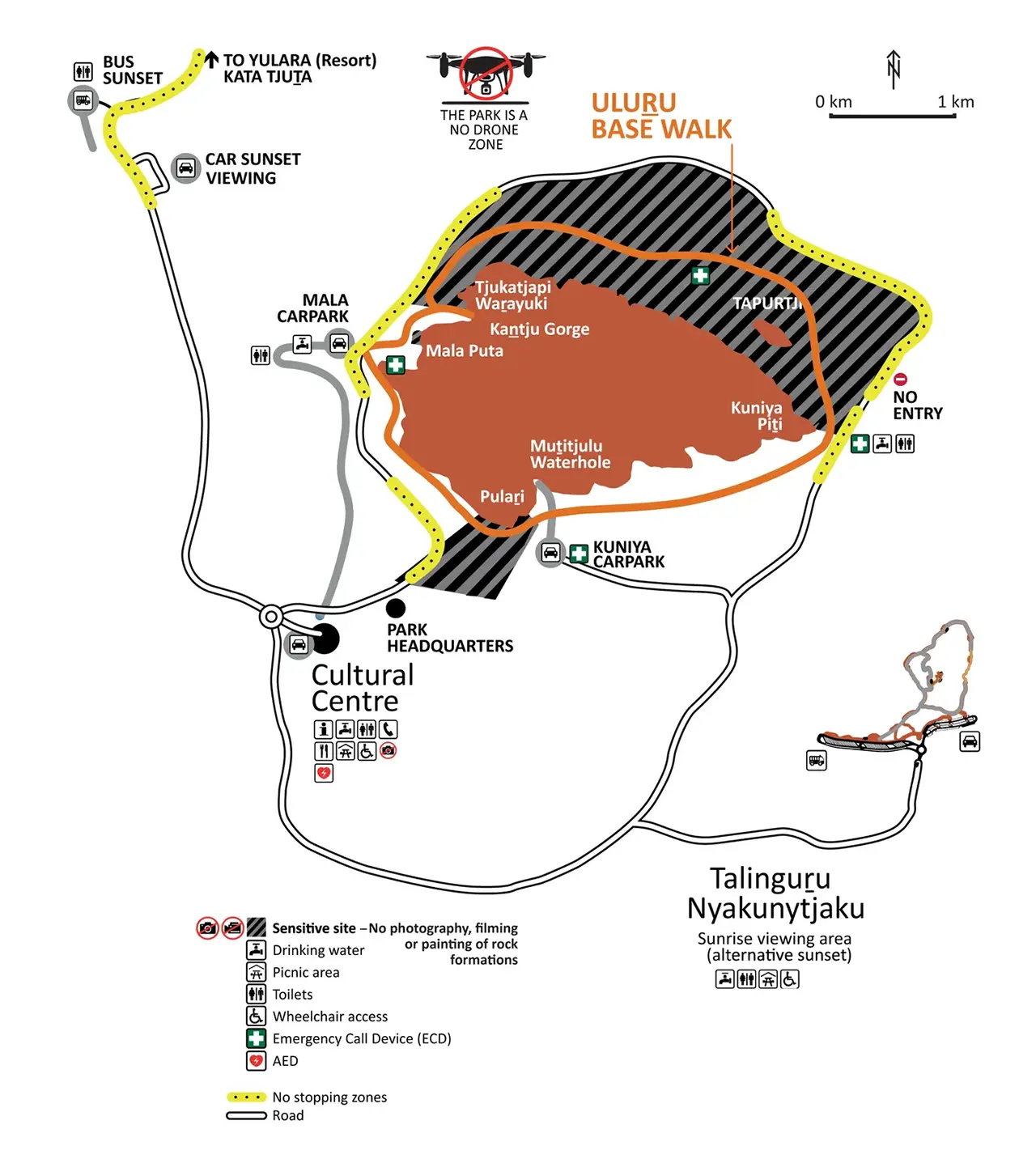
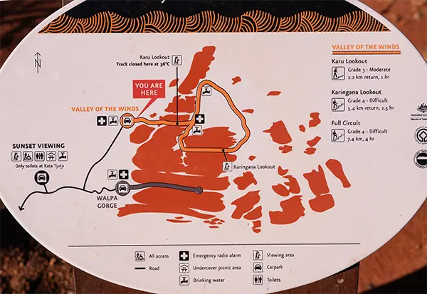
The guide map shows the roads open to cars, parking areas, and walking trails. Signboards are also installed on site. Since sunset and sunrise viewing points were marked, I planned to photograph from those places.
At the time, climbing Uluru was not yet completely prohibited, but I never considered it because I thought it would be beyond my physical ability. It was fully closed to climbing in 2019.
The former name, Ayers Rock, was reportedly given by a British explorer after Henry Ayers, then Premier of the colony of South Australia. Since that name was considered disrespectful to the Anangu people, who had long revered this place as sacred, it was changed back to Uluru, the traditional name they had used since ancient times. Some sources online say it means "great stone" or "place of shade," but those meanings are officially denied. A name used since long ago feels far better than one taken from a person. That said, the name Ayers Rock remains in use for the airport and resort area.
Evening
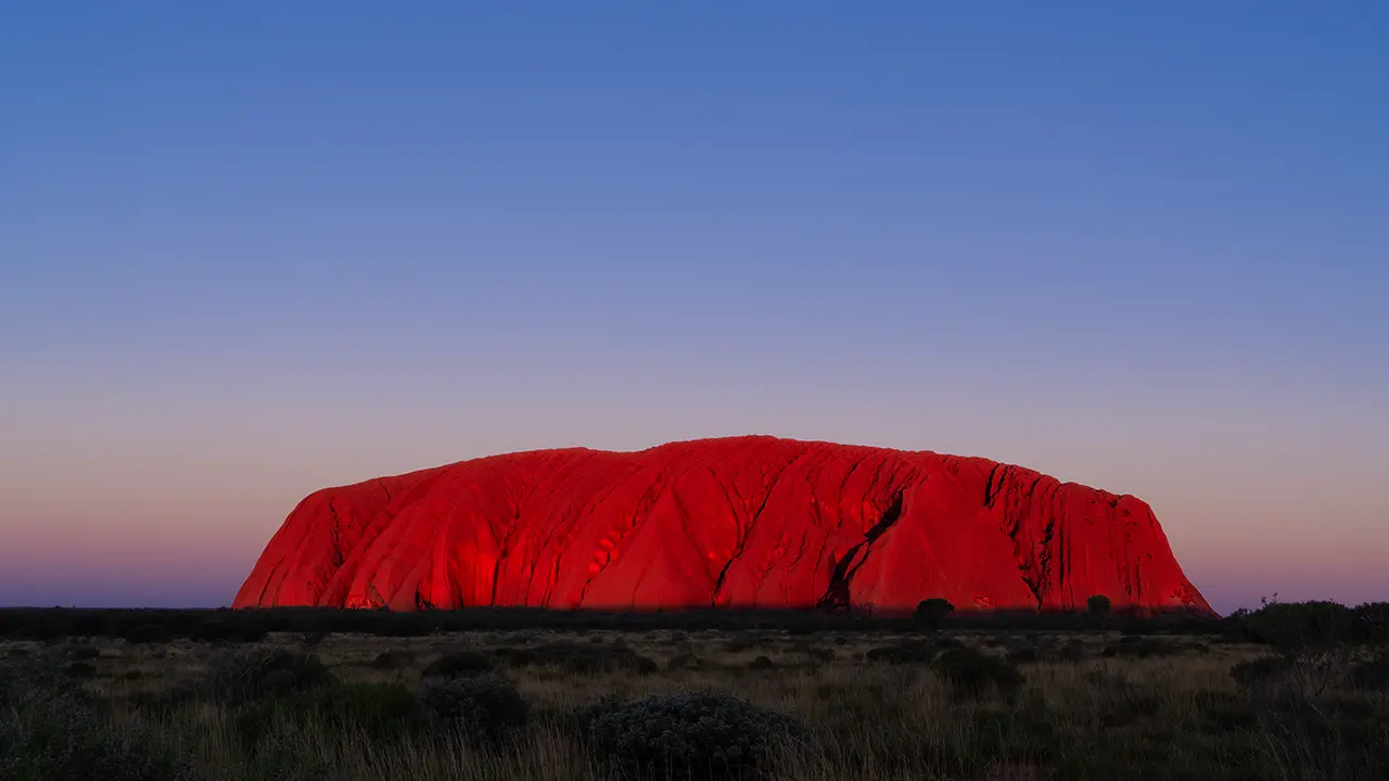
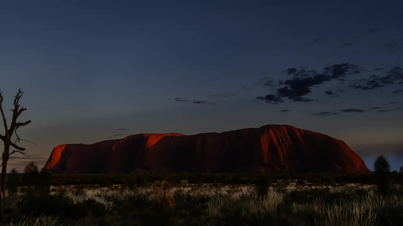
Watching Uluru change at dusk was breathtaking. Here are three images: when the sun had only begun to sink, when the shadow reached the lower part of Uluru, and after the rock had fallen completely into shadow. The photograph at the top of the page was taken between the second and third images, though I processed it to appear much brighter.
For the evening view, I decided to face away from the setting sun and photograph the side of Uluru receiving the light. I took my place at the shooting spot around 4:30 p.m., while the sun was still a little high, about an hour before the 5:42 p.m. sunset.
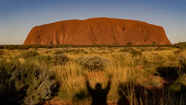
I was playing by casting my own shadow into the scene.
When I set up the tripod, the view still looked much the same as it did in daylight. Gradually the shadow advanced across the grassland in front of me, and the second photograph captures the moment it reached the foot of Uluru. Uluru glowed deep red in the setting sun, while the Earth's shadow appeared behind it and the Belt of Venus turned pink above that. The shadow climbed up Uluru until the whole world was tinted with twilight. The pink spread and the Earth's shadow gradually rose. We say night "falls," but here it felt as if night were rising from the horizon. That was because I had the sun at my back and was facing east.
The shooting location was the Sunset Viewing Area.
Night
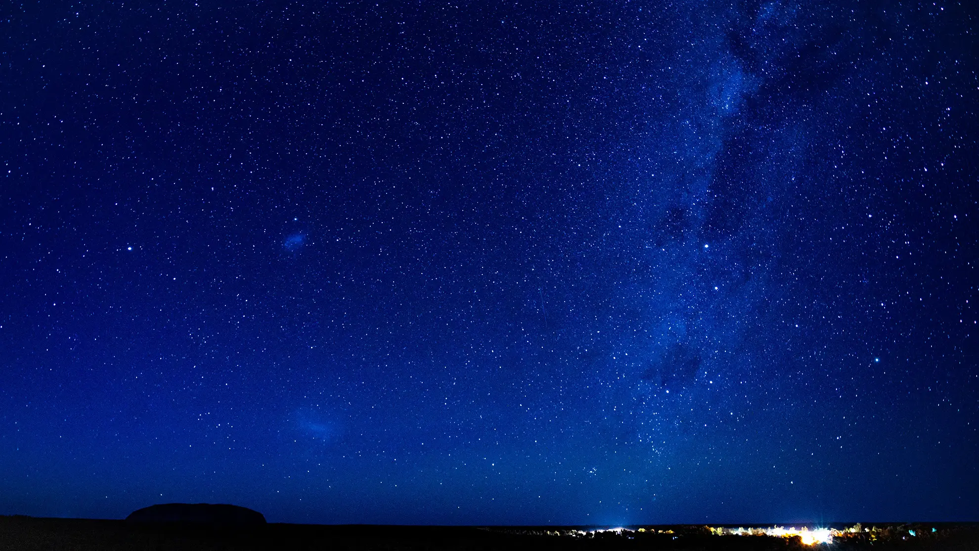
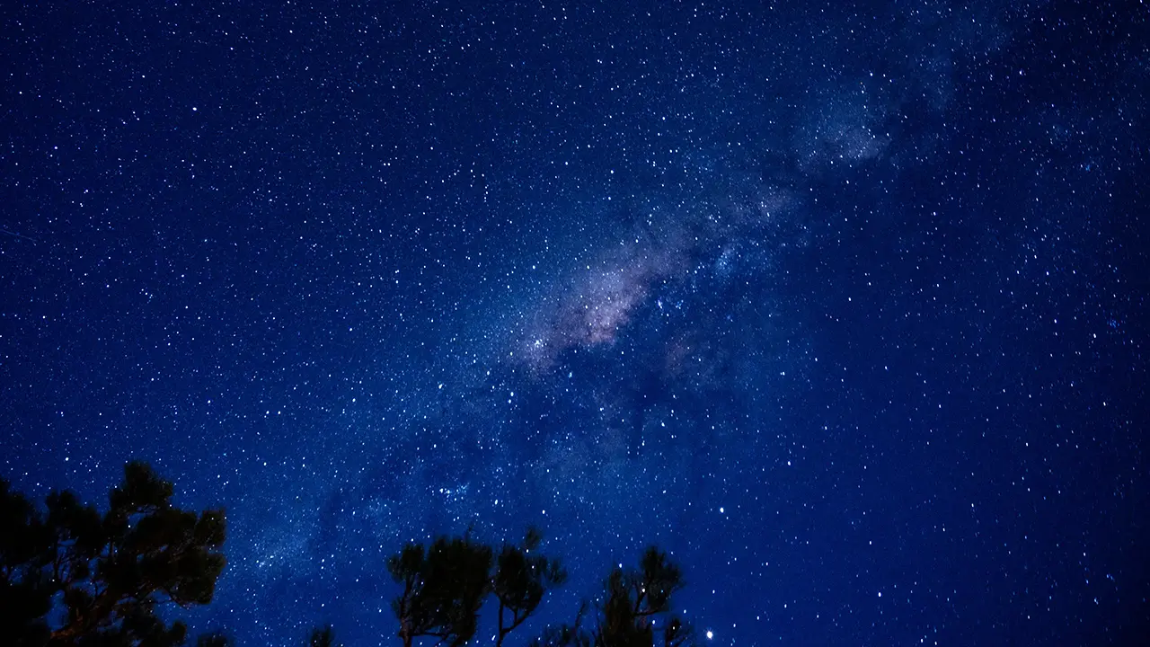
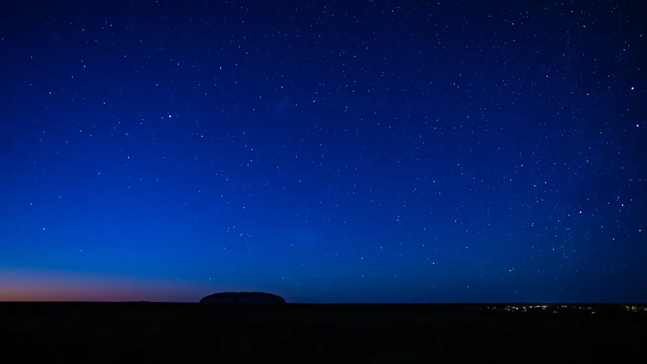
Looking up at the night sky from the hotel, I saw stars glittering and even the Milky Way clearly visible. Surely I could photograph Uluru against this sky, I thought, and went looking for a place to shoot. I chose this spot because I thought distant Uluru and the lights of the resort would make good accents. Uluru ended up appearing smaller than I expected, but I was still able to see it beneath a sky full of stars.
A photograph from the hotel, where I first noticed how beautiful the starry sky was.
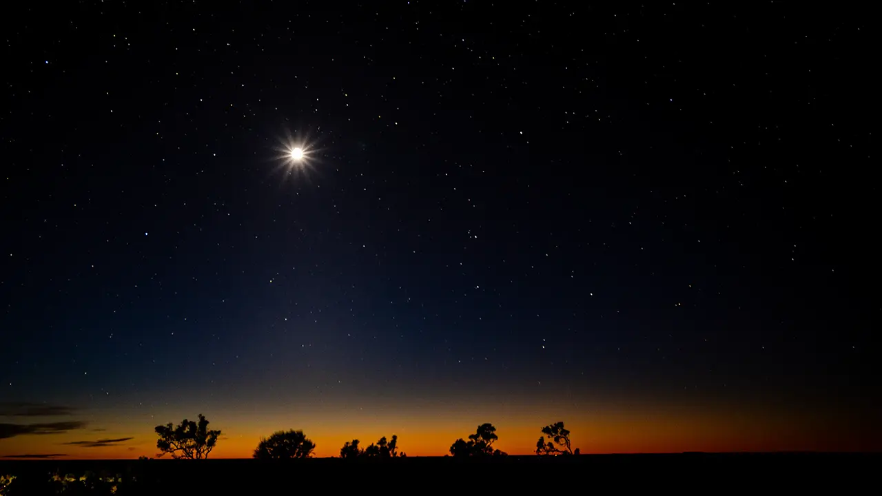
The moon was out too, though not on the Uluru side.
I was already out in the very early hours, planning to photograph the morning view as well.
Morning
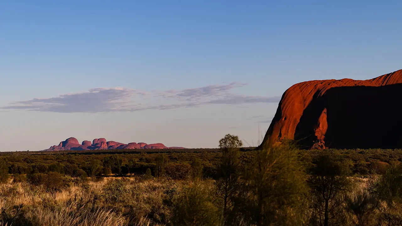
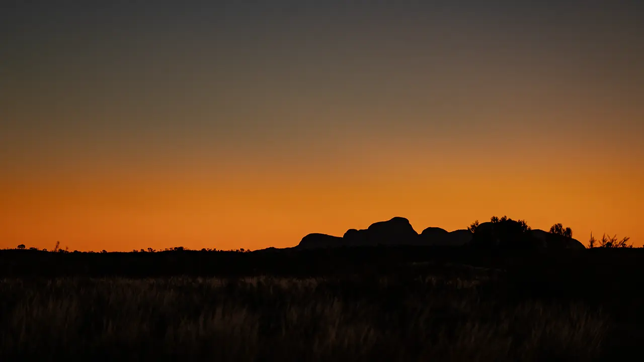
Uluru's morning face is crisp and sharply defined. The first four photographs were taken at the sunrise viewing area called Talinguru Nyakunytjaku. It is a broad area, so you can shift angles and see different expressions. The fourth image also includes Kata Tjuta in the distance.
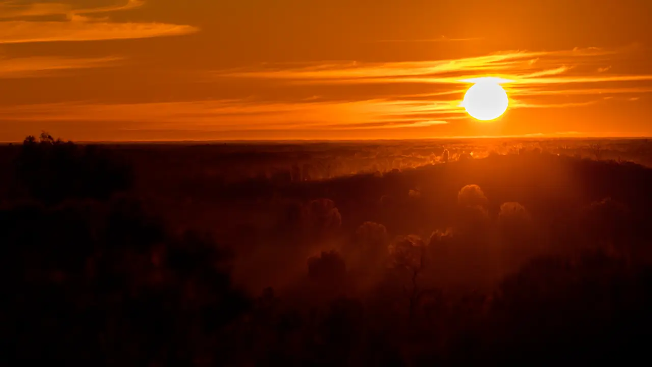
The fifth through seventh images were taken after the star photography, from a road to the north. Before sunrise the whole sky turned pink, and when the sun appeared, the eastern face of Uluru glowed red. The grassland was still almost dark then, which may have helped Uluru stand out. The final, seventh image was taken about ten minutes after sunrise. It was dreamlike.
Kata Tjuṯa
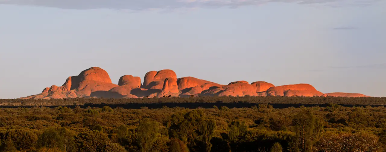
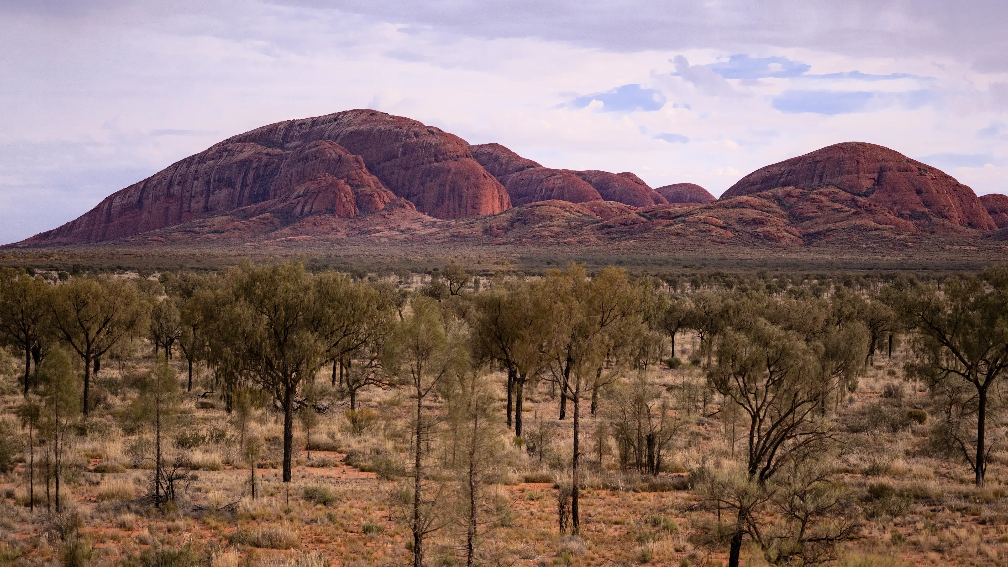
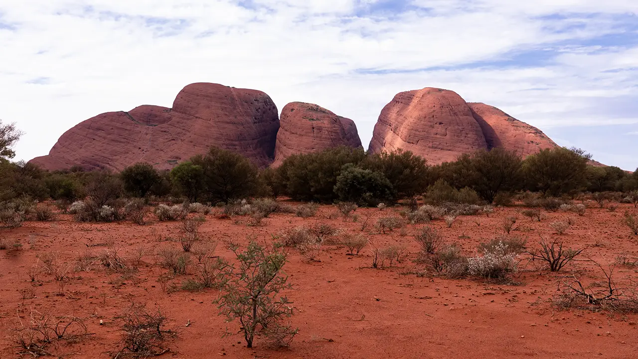
Kata Tjuta is a collection of 36 rounded rock masses called domes. The cluster sits in the steppe like islands in an ocean. It has a different character from Uluru, which is one immense rock mass, but it is one of the highlights of the Red Centre.
Taken with a telephoto lens from Uluru's Talinguru Nyakunytjaku sunrise viewing area. It shows the overall form of Kata Tjuta.
The highest dome rises to 1,066 meters and has the English name Mount Olga. The other domes have no public names. Or rather, names apparently exist among the Anangu, but they are not disclosed because they are internal cultural knowledge. Kata Tjuta is said to mean "many heads."
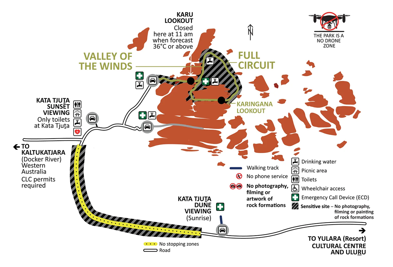
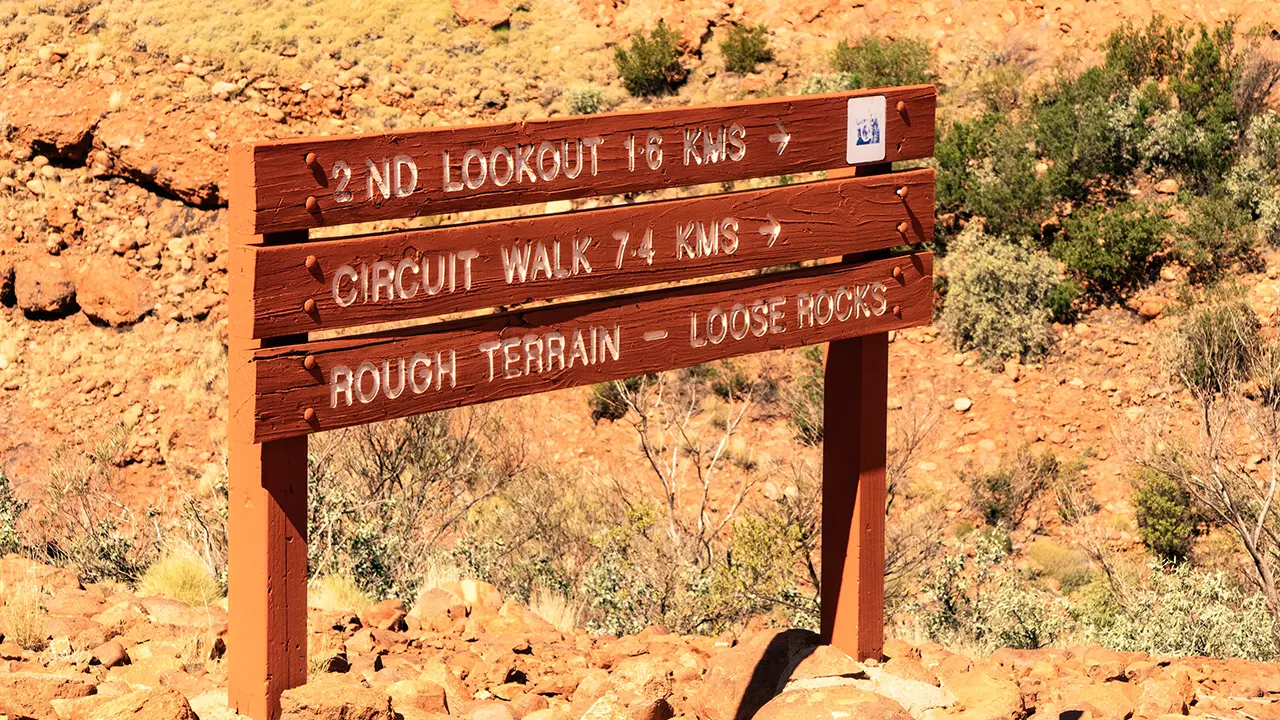
The valleys and lookouts do have names. The best known is the Valley of the Winds, where a walking trail passes through the valley and loops around the western side. The full circuit is 7.4 km and is said to take three to four hours. Along the way are Karu Lookout and Karingana Lookout.
The space between Mount Olga and the neighboring dome is called Waḻpa Gorge. A walking trail runs about 2.6 km return from the parking area at roughly 600 meters elevation to a lookout around 890 meters, taking about one hour. Later I learned that Waḻpa means wind in the local Anangu language, so in a sense both places are valleys of wind.
Waḻpa Gorge
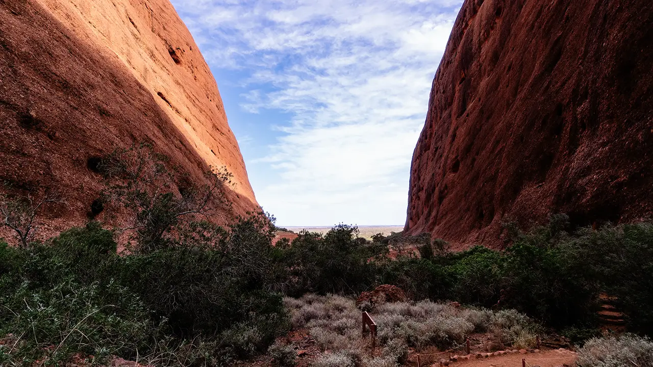
The first place I visited was Waḻpa Gorge. The Valley of the Winds is better known and I wanted to go there, but I could not judge the difficulty, so I decided to start with Waḻpa Gorge, which looked easier. On the way from Uluru, I noticed what seemed to be a lookout and stopped there. It was Kata Tjuta Dune Viewing. The first photograph was taken from there. A wide-angle shot included the whole formation, but a partial crop looked more powerful.
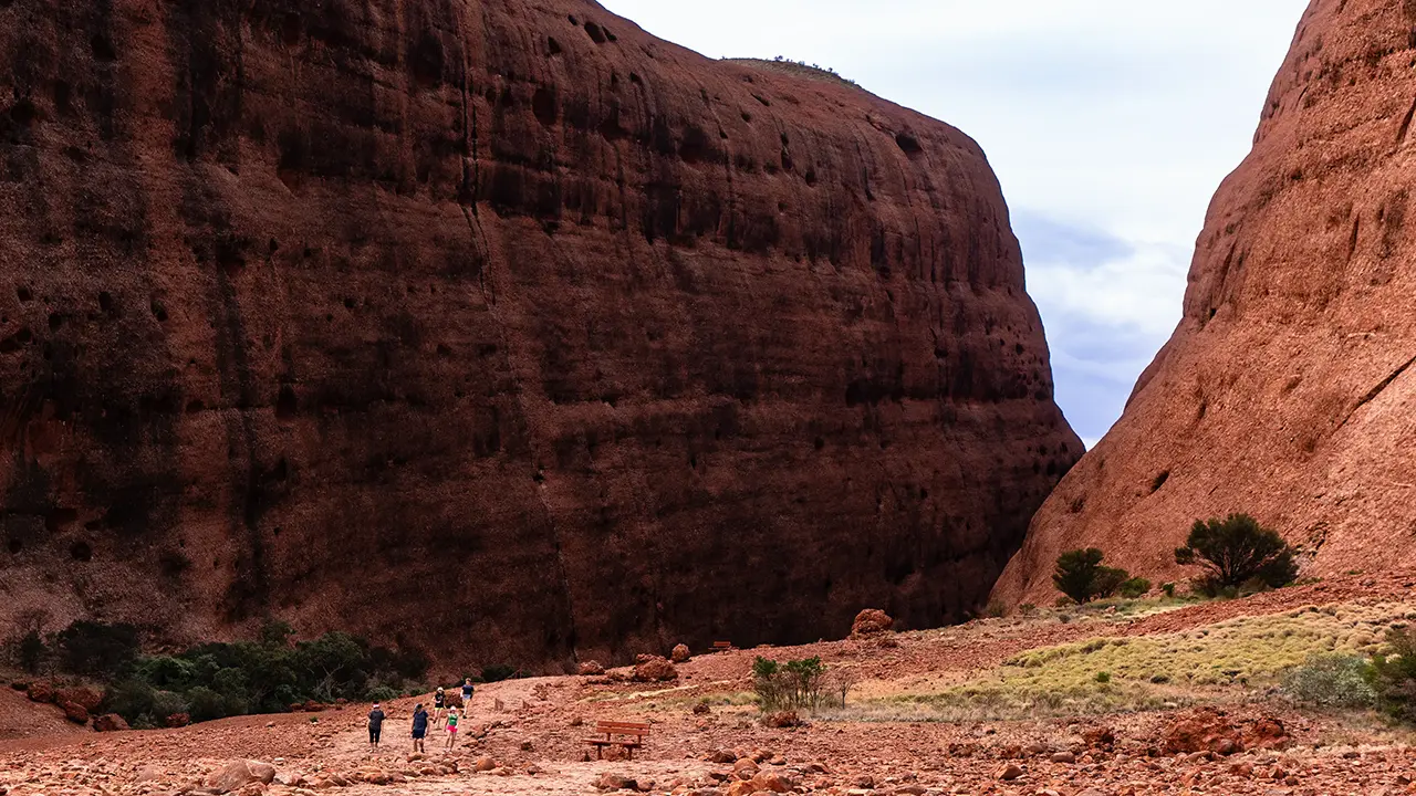
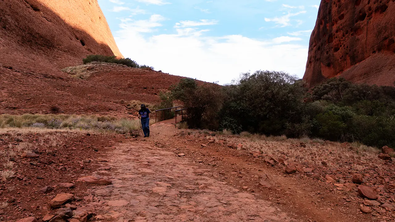
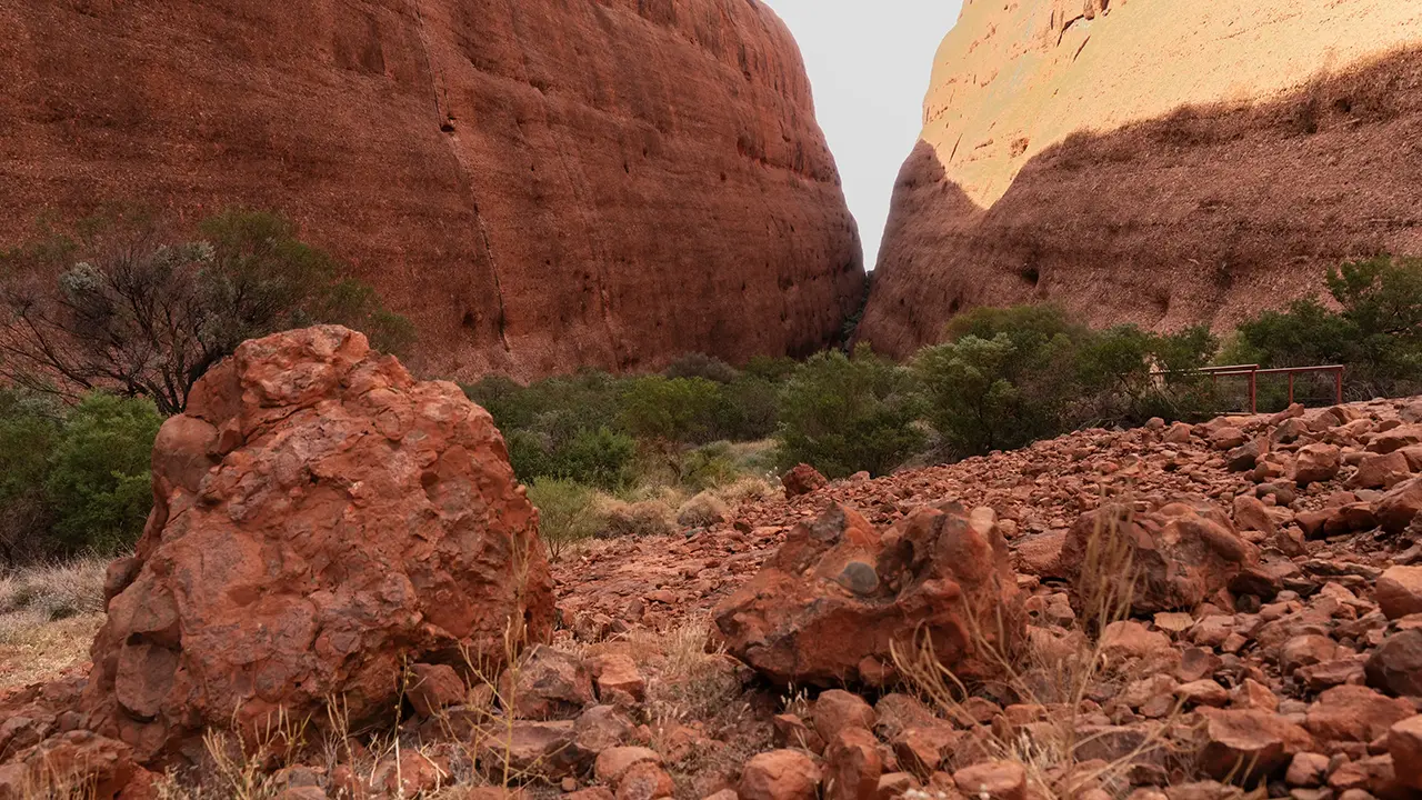
From the second image onward, the photographs were taken after I started walking. Reddish rocks of many sizes lay scattered around, giving the place a barren feeling. The trail itself was essentially a gravel path paved with those small stones.
The path appears to have been improved in 2017-2018, and recent images online suggest it is now easier to walk.
From Kata Tjuta Dune Viewing
Entrance to Waḻpa Gorge. A bench was installed beside the trail.
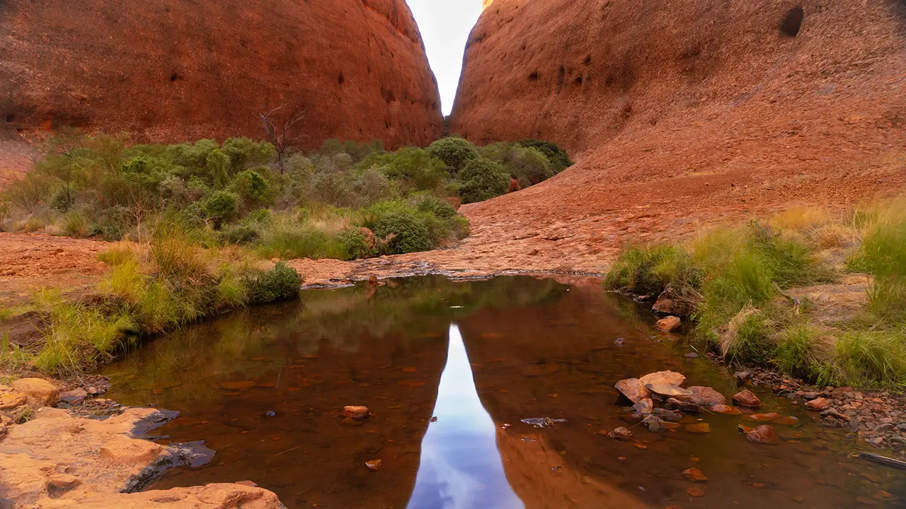
An oasis along the way. Photographing the reflected gorge seems to be the classic shot.
From the Waḻpa Gorge lookout
This was the view when I looked back.
The trail
Rocks like this are scattered everywhere.
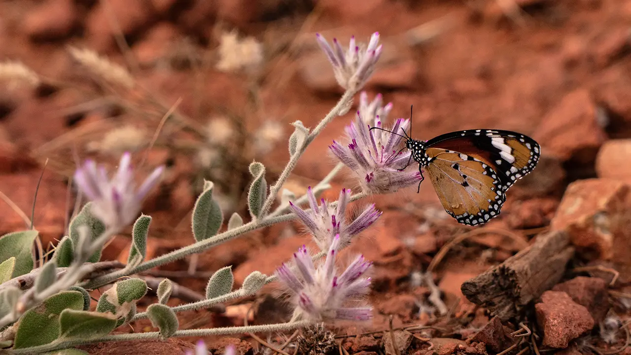
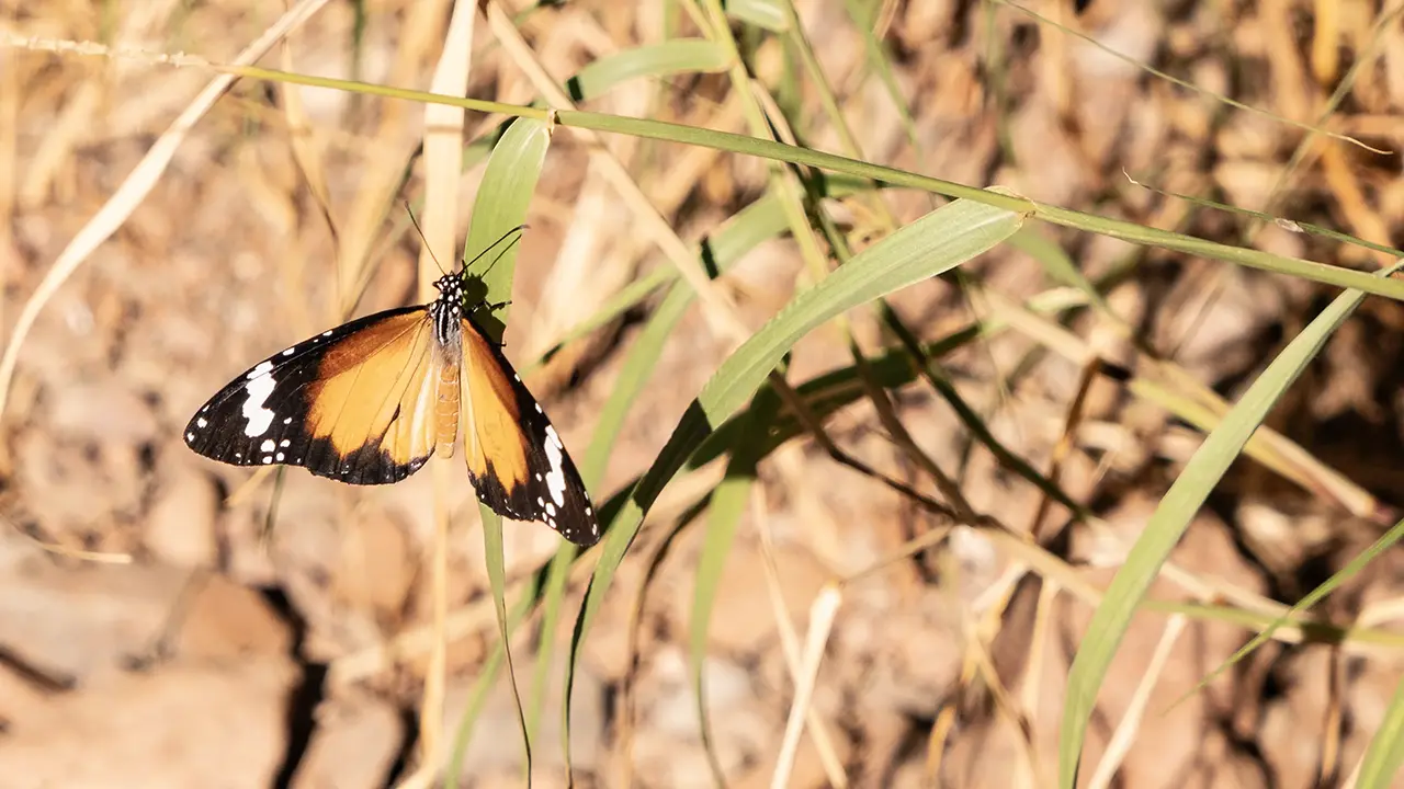
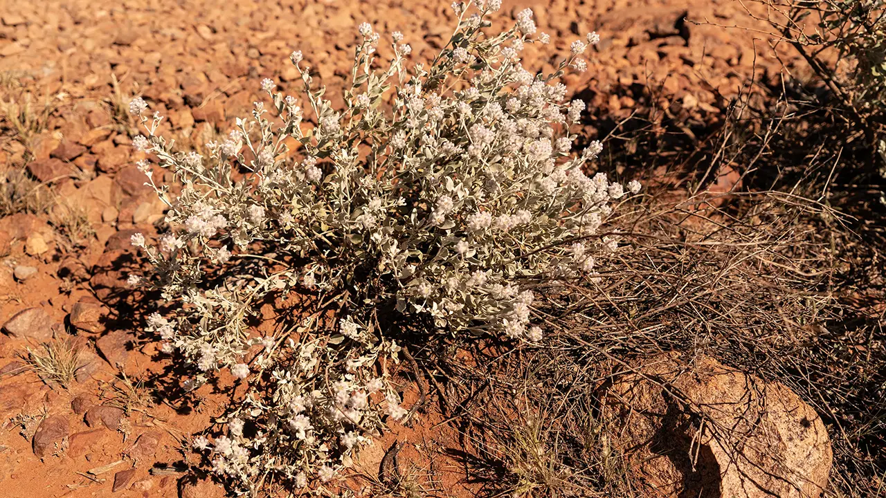
A lesser wanderer butterfly and Pink Mulla Mulla
From Kata Tjuṯa Sunset View Area, where I stopped on the way back
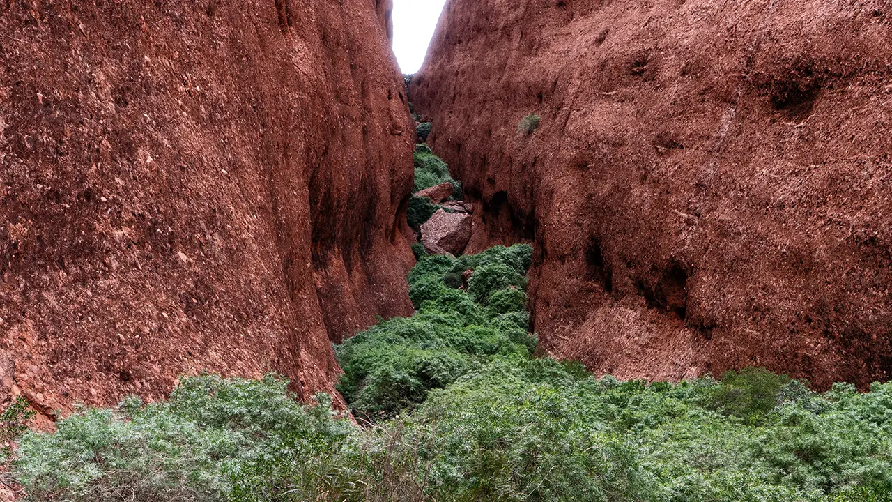
Incidentally, Waḻpa Gorge has photography restrictions. On the Uluṟu-Kata Tjuṯa National Park website, the Waḻpa Gorge walk page includes a section called Tips for Photographers, which says to include both sides of the gorge walls when taking photographs. I take this to mean that isolating particular rock faces or hollows could emphasize sacred places or distinctive rock features that the Anangu people do not wish to make public. Close-ups of plants and animals, however, seem to be acceptable. I discovered this website while researching for this page. Japanese-language guides do not seem to describe the rule very clearly.
Following that restriction, I selected only gorge photographs that include both side walls.
Valley of the Winds
The day after visiting Waḻpa Gorge, I returned to Kata Tjuta and tried the Valley of the Winds trail. By the time I got back to the parking area from Waḻpa Gorge the previous day, it was already around noon, and I had no desire to continue straight into the Valley of the Winds. It was early May, but the season still felt like the end of summer, and the days became very hot.
I left the car in the parking area and walked the full circuit in about four hours.
Information board in the parking area
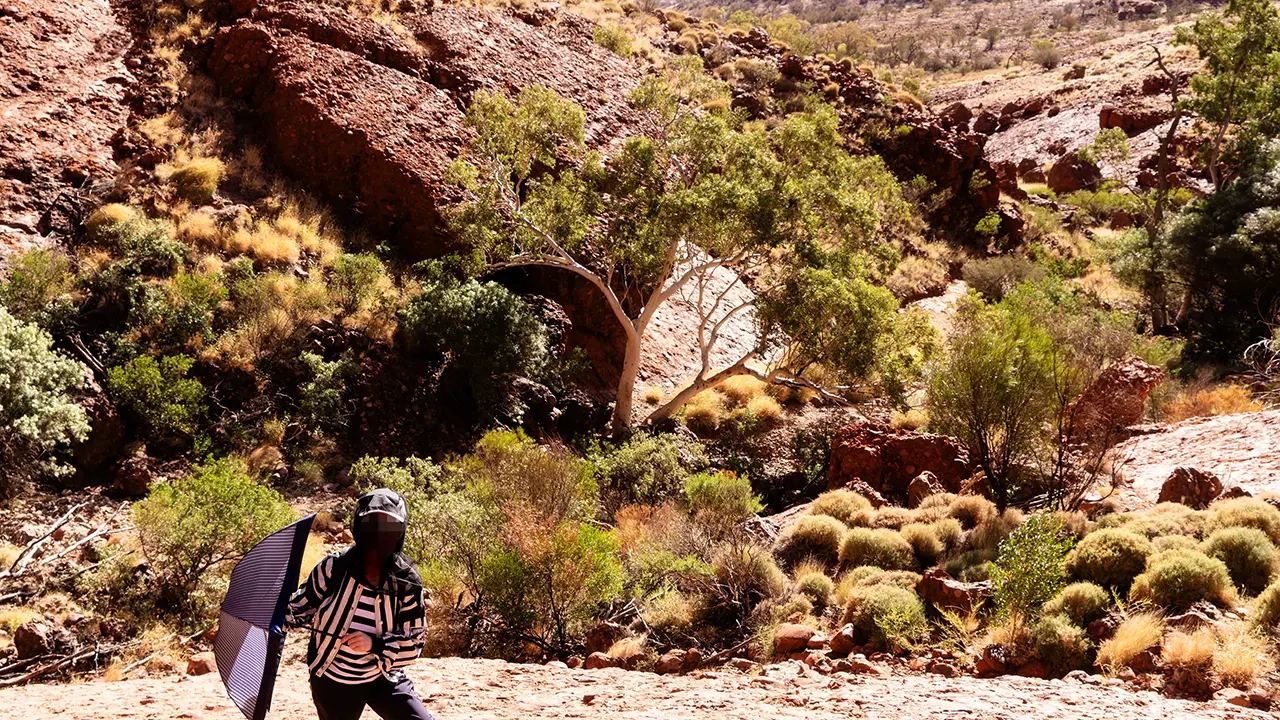
I walked the circuit using this map, but it differs slightly from the Kata Tjuta trail map shown earlier, which is the 2026 version. In particular, this board does not mark the no-photography areas. Since I was traveling independently, without a guide, I had no idea that almost the entire area was subject to photography restrictions, with some exceptions. For that reason, I cannot publish landscape photographs, so I have included only photographs of allowed subjects such as plants, animals, and people. Details are given on the Valley of the Winds page of the Uluṟu-Kata Tjuṯa National Park website.
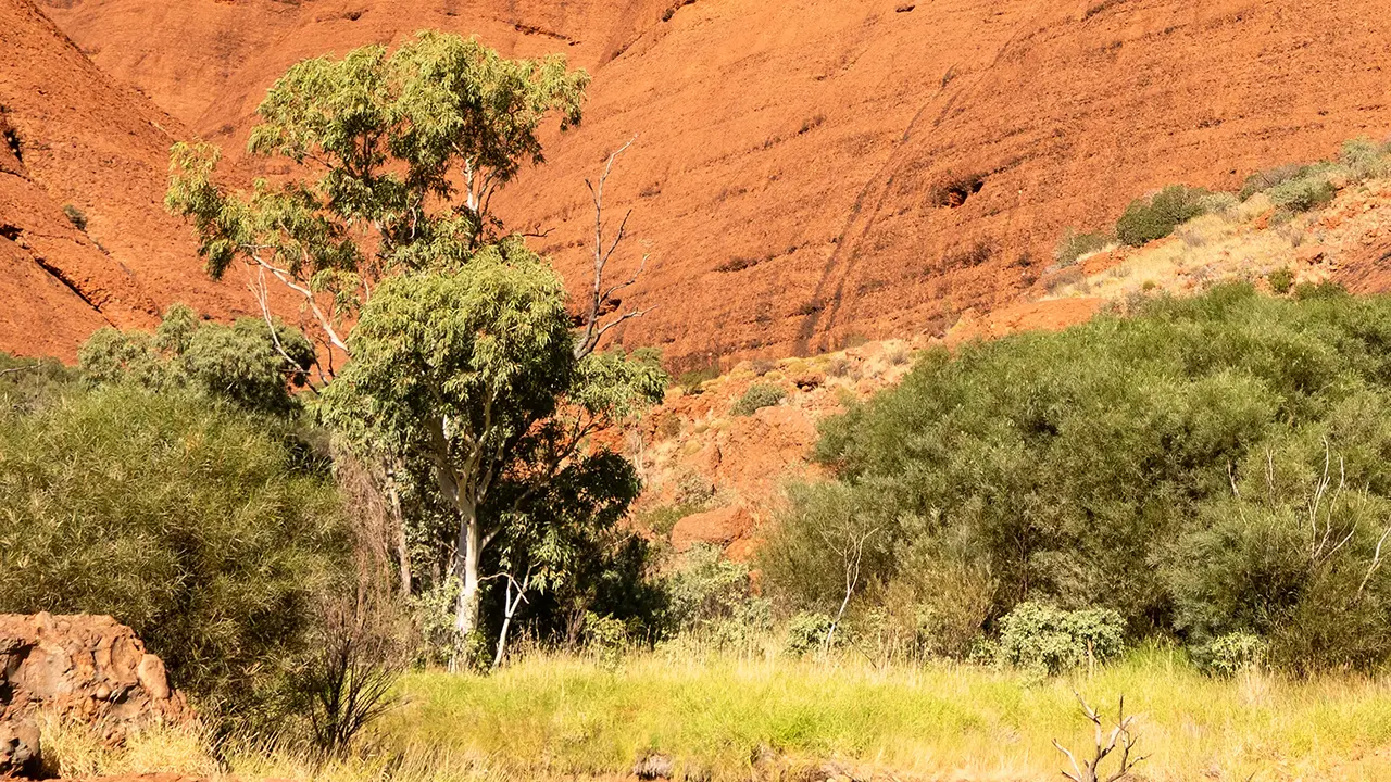
The trail from the parking area was a gravel path like the one at Waḻpa Gorge, but this one was better maintained. I climbed toward Karu Lookout. Karu Lookout was simply the highest point of a saddle in the valley, marked by a sign. After descending and walking a little farther, I reached a junction. I turned right toward Karingana Lookout. When the trail entered a section where rock walls rose on both sides, the reddish walls had patterned hollows that I could have kept looking at for a long time. Beneath the walls grew Acacia aneura and river red gums, some of them quite large with impressive branching. There were also dead trees that deepened the feeling of desolation. Karingana Lookout, like Karu Lookout, was an open place with only a signboard. I rested for a while, looking at the western domes. Turning back there did not feel like an option. I continued down the slope and walked the circuit. On the circuit, I mostly walked across flat ground while viewing the western domes and various trees, so it was not technically hard. It was, however, extremely hot, and there were many small biting insects. Bringing the insect head net I had bought was absolutely the right decision. I was honestly relieved when I returned to the circuit junction.
Spinifex and other bush plants line the trail.
The bush is dense around Karu Lookout.
Perhaps a lesser wanderer butterfly. I saw them from time to time.
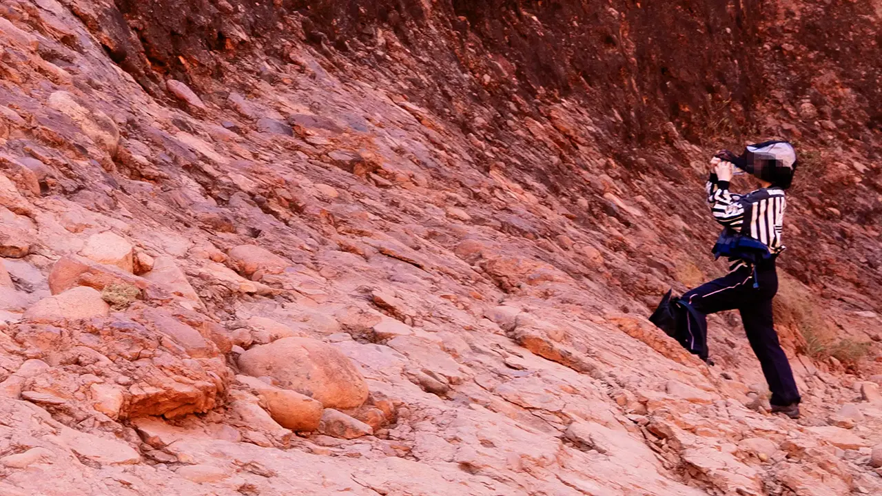
Water break near Karu Lookout. The trail crosses rock.
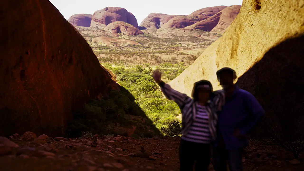
A commemorative shot at Karingana Lookout. The western domes are visible.
Acacia aneura along the rock wall, west of Karingana Lookout.
The fine branching of a river red gum, a type of eucalyptus.
Desert bloodwood has a thick trunk.
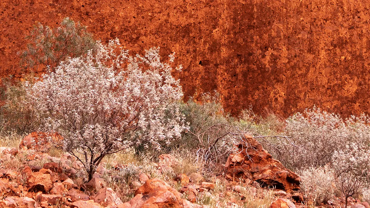
A delicate cotton bush at my feet.
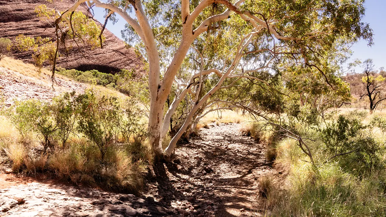
The river red gums also provided shade.
Back at the circuit junction, feeling relieved.
One final evening view of Kata Tjuta.
Uluru and Kata Tjuta appear suddenly on the plain. How were these landforms created?
It is a natural question, so I looked into it. The following summary is based mainly on the Geology page of the Uluṟu-Kata Tjuṯa National Park website.
About 550 million years ago, the Petermann Ranges to the west were far higher than they are today. Rivers flowing from them carried eroded sand and rock, forming alluvial fans. Around Uluru there was a fan of sand; around Kata Tjuta, a fan of rock. About 500 million years ago, this region was covered by sea and remained under water for around 100 million years. Sand and mud accumulated over the fans, and the pressure turned the lower fan deposits into rock. During the Alice Springs Orogeny about 400 million years ago, caused by tectonic plate movement, large-scale folding occurred. Kata Tjuta tilted slightly, while at Uluru a folded section that had risen in an M shape buckled until it stood almost vertical. Over the last 300 million years, softer rocks eroded away, leaving Uluru as a sandstone monolith 9.4 km around and 348 m high, and Kata Tjuta as 36 domes of conglomerate.
Uluru is a type of rock called arkose. Its surface is red and flakes easily, revealing gray patches underneath. The red color comes from iron naturally contained in the arkose rusting, while the gray is the original color of the rock. Because the layers were tilted about 90 degrees, vertical lines are visible. Kata Tjuta, by contrast, is made of conglomerate, much of it granite and basalt. Because horizontal layers were uplifted, its strata appear as horizontal bands.
Both formations are also said to be like icebergs, with large portions below ground. They may extend as much as 6 km underground.
Kings Canyon
At the hotel, I asked whether there was anywhere to visit besides Uluru and Kata Tjuta, and was told about Kings Canyon. It is apparently about 300 km from the hotel, 600 km round trip, roughly the distance from Tokyo to around Sendai. There is no high-standard expressway either. Just as I was thinking, "I do not want to drive that," the staff smiled and said, "There is a bus tour tomorrow morning." Clever. I took the bait, and the next day became a full-day tour: departing at 4 a.m. and returning around 6 p.m.
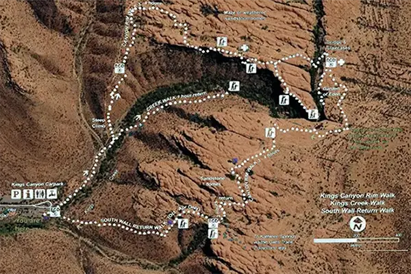
I overlaid the trail map from the parking-area signboard on Google Maps.
Kings Canyon is a gorge in Watarrka National Park. Four hundred million years ago, this area was sea, and sand and mud accumulated here. Between about 350 and 300 million years ago, major uplift formed the plateau that became the foundation of the George Gill Range, where Kings Canyon is now located. At that time, countless vertical cracks, or joints, formed in the bedrock. Rainwater flowed into these joints and eroded them, cutting away the softer lower layers. As a result, the harder upper layers collapsed, forming cliffs. (Based on the Tourism Central Australia website.)
The Rim Walk follows about 6 km of trail along the top of the canyon cliffs and takes three to four hours. There was also a shorter creek-bed walk of about 2.6 km return, taking roughly one hour, but since I had come all this way, I chose the Rim Walk.
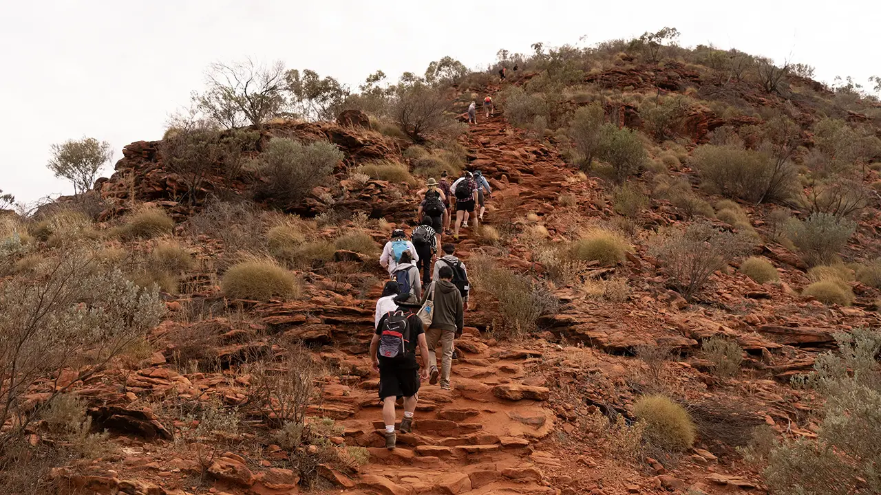
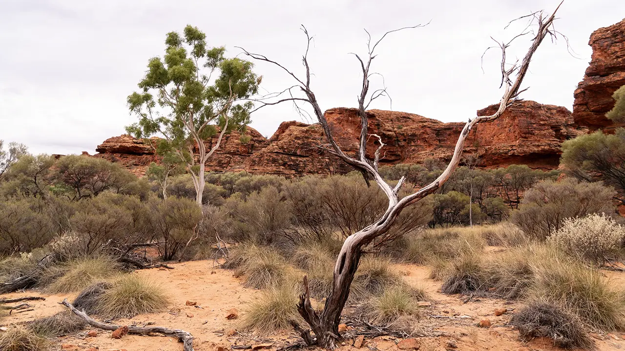
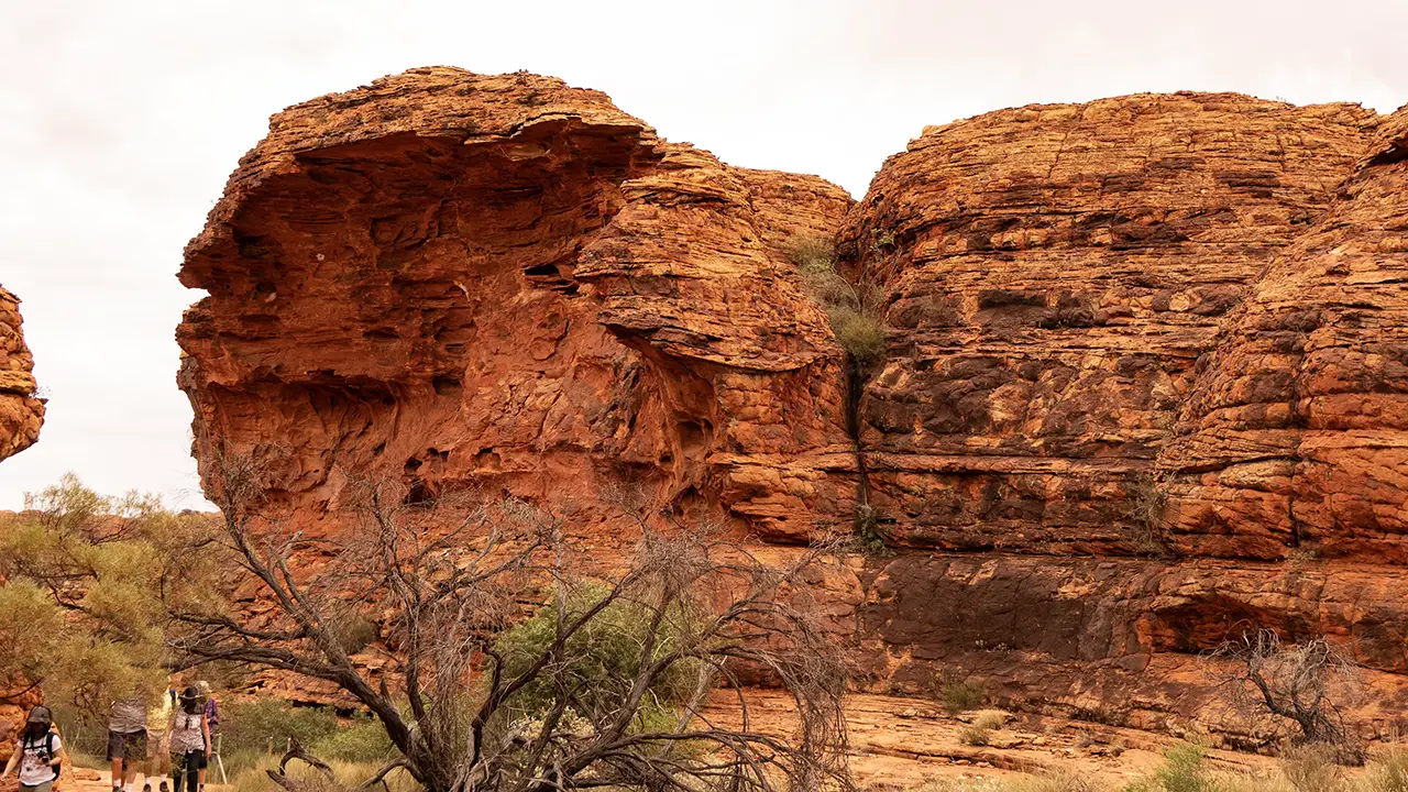
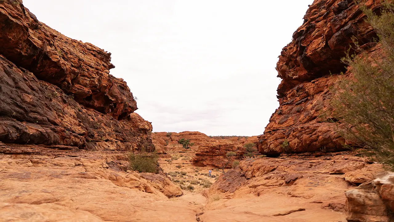
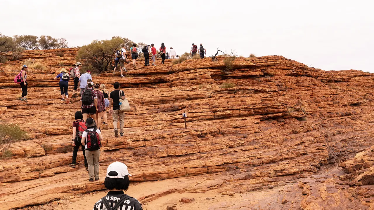
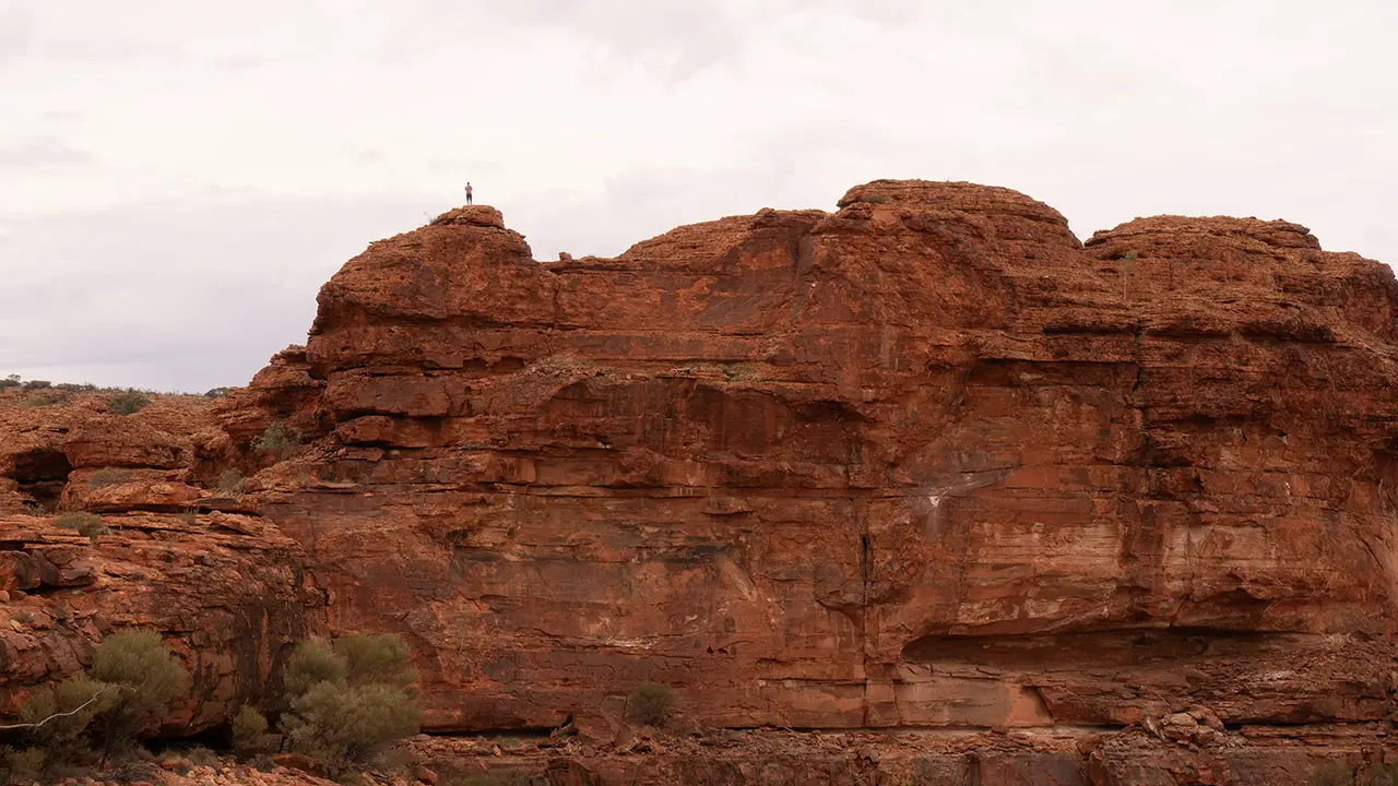
Soon after leaving the parking area, you climb Heart Break Hill, a rise of about 50 meters with roughly 500 steps. At the top, the whole canyon comes into view. A little farther on, red rock domes appear. In the open area before them grow spinifex shrubs, mulga, ghost gums, and other plants similar to those at Kata Tjuta, though perhaps with more variety. Some dead trees looked striking; I do not know whether they had simply died, lost their leaves in periodic fires, or entered a dead-looking state to survive the dry climate. The trail passes between the domes. This dome area is apparently called The Lost City, though the name did not quite click for me.
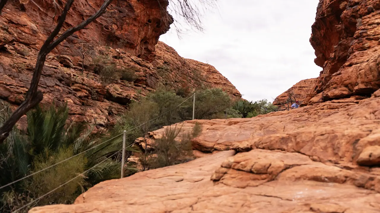
After passing through the domes, the trail opens out again. The vegetation there was much the same as before the dome area, and the handsome dead trees were just as impressive. When I approached the cliff edge, I could see the rock wall on the opposite side and greenery around the Garden of Eden. As elsewhere, there were no clumsy safety rails.
At the top of Heart Break Hill
Open ground before the domes
Passing between the domes.
One side of a dome.
Leaving the dome area.
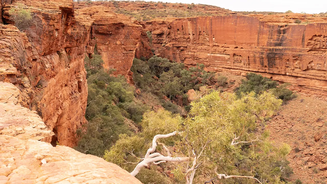
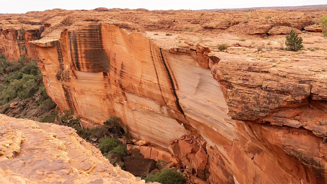
From the cliff edge, the Garden of Eden area comes into view.
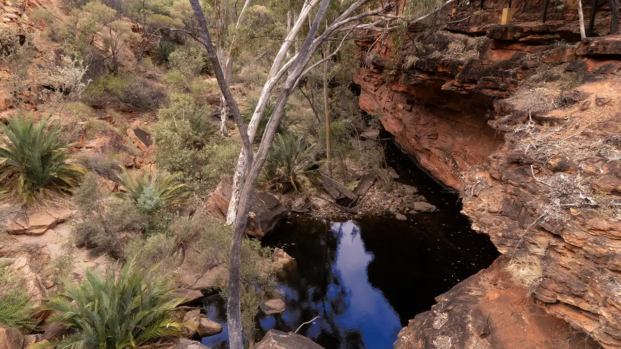
After a while, wooden stairs led down into the deepest part of the canyon. At the bottom is an oasis called the Garden of Eden. There is a waterhole said never to dry up, and it is thick with Macrozamia macdonnellii, a cycad that preserves the appearance of plants from the Jurassic and Cretaceous periods, about 150 million years ago, when dinosaurs dominated the Earth. The local guide called it Kings Canyon cycad. It apparently grows only in this area. To survive in an arid environment, it has acquired an astonishingly slow growth rate, and plants the size of those in the photograph are probably around 1,000 years old.
Descending to the Garden of Eden.
Garden of Eden
Climbing a little farther.
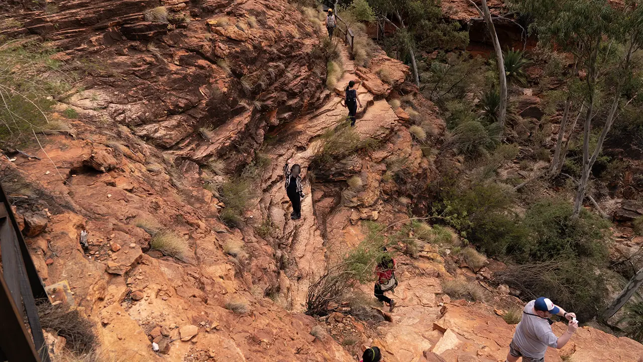
After passing through the oasis, we climbed up the opposite, southern rim. It was a tough climb. Once I reached the top, however, the trail continued with little elevation change.
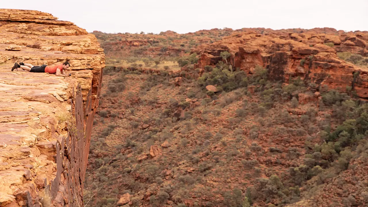
At a lookout along the way, I could see the northern rim domes and rock walls I had walked past in the first half, and looking down revealed the area around the oasis. It was magnificent. It was also frightening at the edge. Other people were gingerly crawling forward to look down into the canyon.
This inevitably made me think of the Grand Canyon in the United States. At Toroweap Overlook on the North Rim, I had photographed an unobstructed canyon floor from a similar posture. The vertical drop there is about 900 meters, so this may be lower by comparison, but even 100 meters is fatal if you fall. For a human body, the distinction hardly matters.
A cliff where the collapse scars on the opposite side are clearly visible.
Someone peering down.
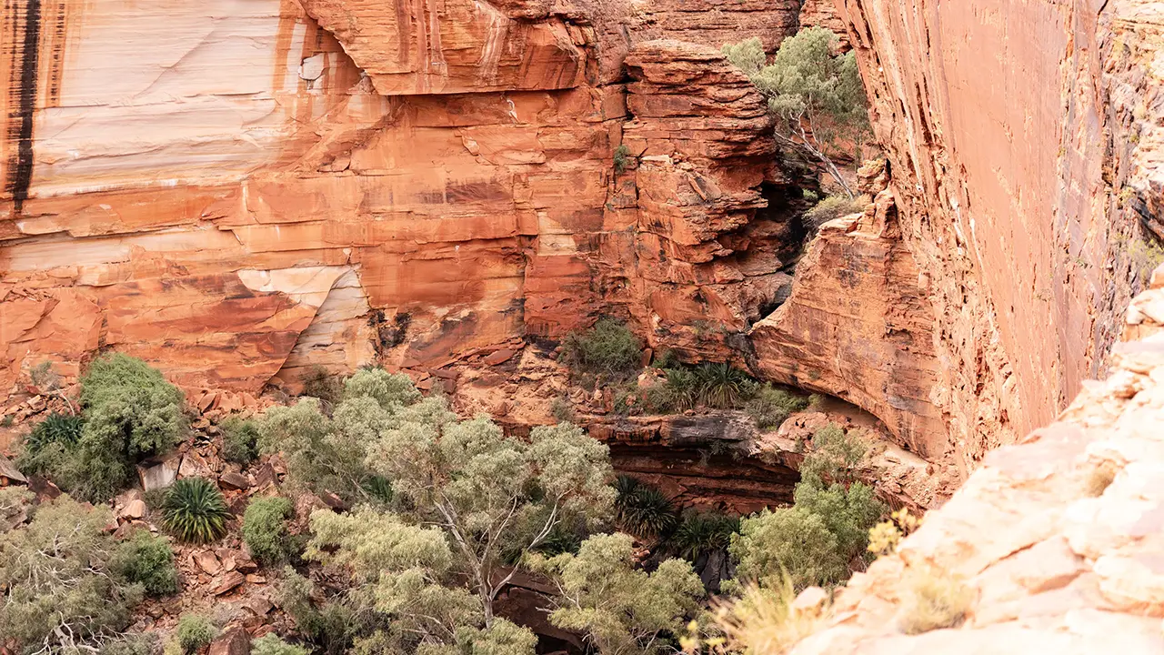
Around the Garden of Eden.
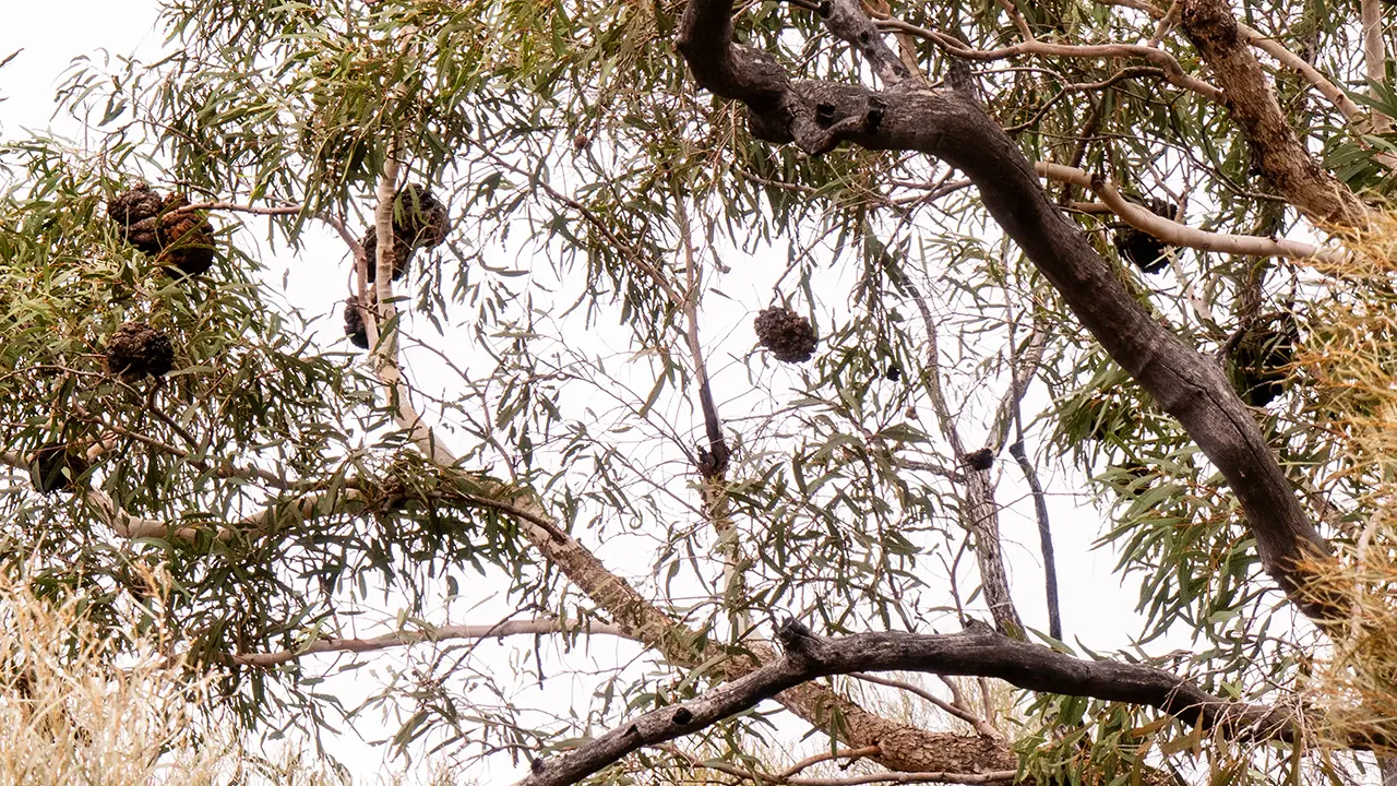
The most dramatic section ended there, and the rest was gentler. Still, because I was walking over stone the whole time, I could not let my attention slip. The vegetation was similar to the north rim and offered no shade. Along the way I looked up and noticed something like a lump on a tree. It seemed to be a termite nest. Such nests are made by skillfully mixing soil, chewed wood fibers, and termite secretions, and are said to become as hard as concrete.
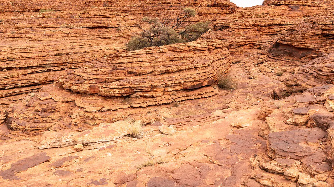
Trail over stone
Termite nest
The final shot
In the final photograph, the person on the opposite side looked as if they were waving farewell. Somehow it felt perfect for the moment. The walk took less than three hours, and I returned sooner than expected. I was quite tired near the end, but the route was more rewarding than I had imagined, so I was glad I joined the Rim Walk.
On the Way Back
Probably because it was a bus tour, there were places along the way where I was able to take photographs.
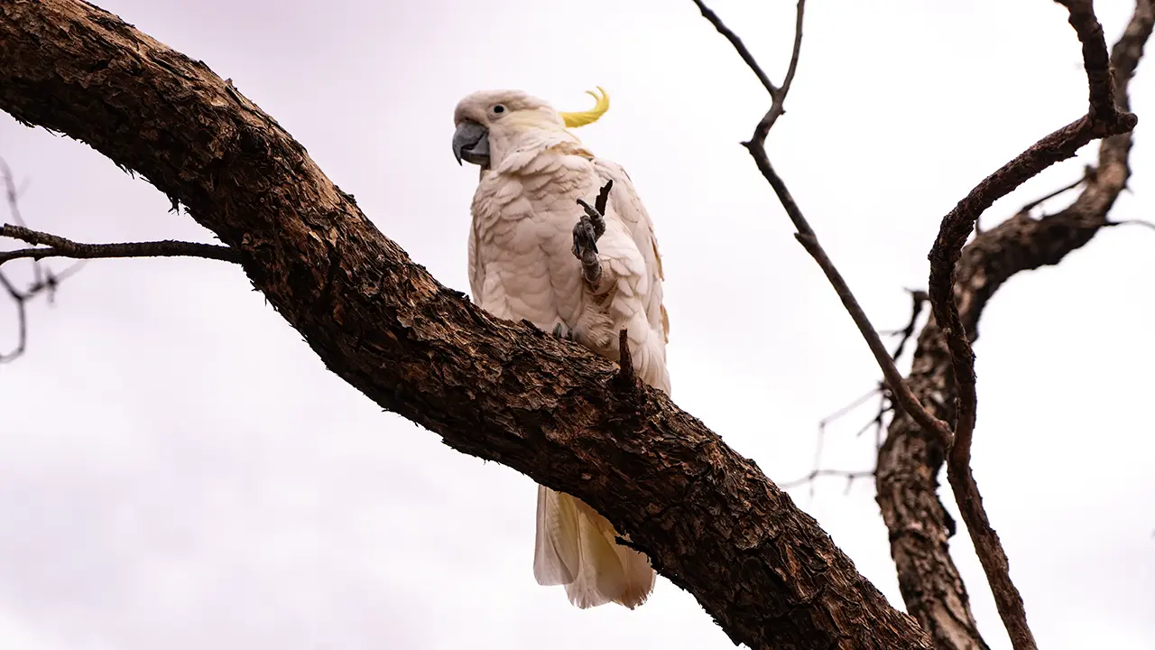
Occa
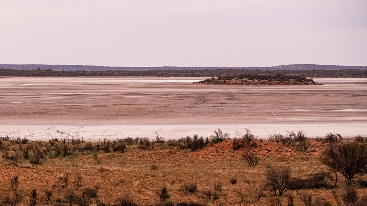
Salt lakes
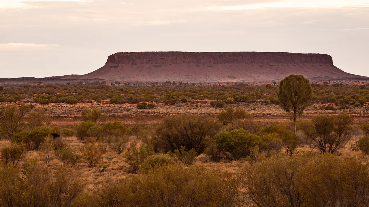
Mesa, Mt. Conner
Occa in the first image is a sulphur-crested cockatoo, one of Australia's representative large parrots, kept at Curtin Springs Station, a roadhouse along the way. Occa is so well known that you can find information online.
The second image shows one of the chain of salt lakes in the Amadeus Basin. These are remnants of an ancient drainage network, including the large Lake Amadeus and many smaller salt lakes. They can be seen while driving along Lasseter Highway, Route 4. The evening view was beautiful too.
The third image is Mt. Conner, which looks a bit like Uluru. People coming from the Alice Springs direction sometimes mistake this mesa for Uluru, so it is apparently nicknamed Fooluru. To be fair, that was my first impression too.
For the local Anangu people, the mountain is associated with Kungkarangkalpa, the Seven Sisters Tjukurpa: stories of hiding during their flight and digging for water. It is still regarded as a women's sacred site.
Geologically, it is older than Uluru. Sedimentary layers from about 600 to 700 million years ago were uplifted and exposed while remaining horizontal. Only the portions protected by a very hard conglomerate caprock survived together with the softer layers below. The formation process is similar to the mesas of Monument Valley in the United States, and the appearance is similar as well.
It is actually a place with a lot going on, but it does not seem to be visited much as a sightseeing destination.
The Red Earth
What impressed me most in the Red Centre was not any of the places described above, but the vivid red land itself, like a table on which all those sites rested.
It is not hard to imagine that the redness comes from iron in the rocks oxidizing. When the climate was wetter, iron-bearing minerals such as feldspar and biotite underwent chemical reactions and became ferric oxide. Later, as the environment changed to a very dry desert climate, those oxidized rocks broke down and thinly coated surrounding sand grains, turning the whole landscape red.
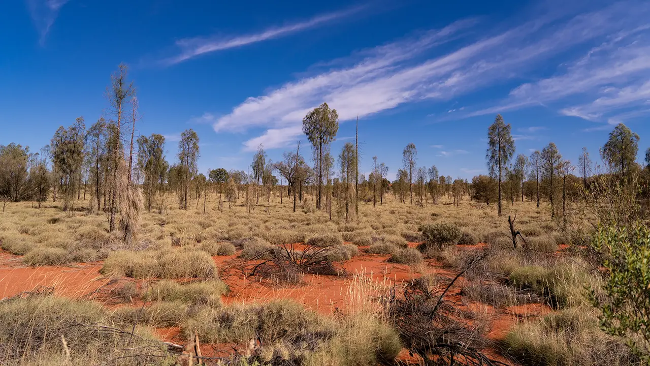
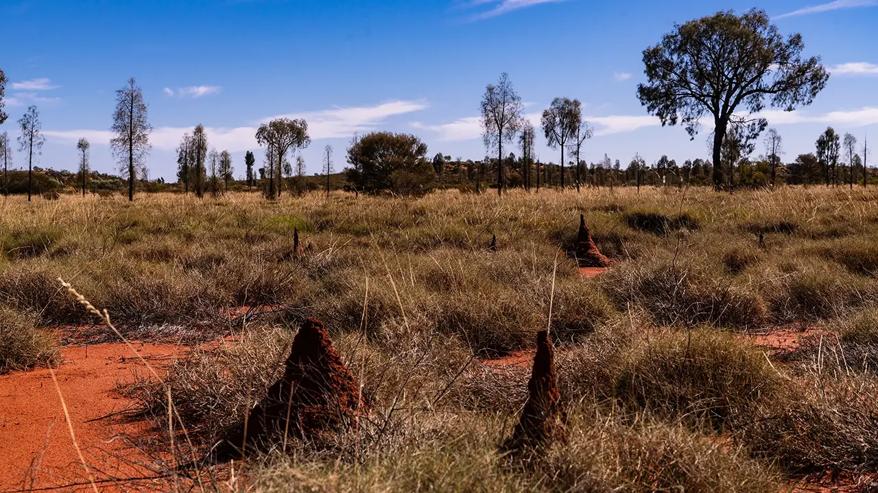
There are also spinifex grasslands stretching as far as the eye can see, red termite mounds scattered through them, and desert oaks. These are part of the Red Centre ecosystem, shaped as plants and insects evolved extreme survival strategies to endure tens of thousands of years of increasing aridity. As a traveler, I felt they were not to be overlooked.
Red earth
Termite mound
Farewell, Red Centre
Six days in the Red Centre, in the Outback, felt different from my previous journeys. It was a good trip. The desire to plan the next distinctive journey, and to wonder what photographs I might take there, never really goes away.
Additional note: Itinerary
I flew overnight from Haneda to Sydney in southern Australia on Jetstar, then transferred to a flight to Ayers Rock Airport (AYQ) in the central north of the Australian continent. I arrived around 1:30 p.m., which left plenty of daylight to get to the hotel. I rented a car at the airport for transportation. To photograph freely, walking distance was simply not enough.
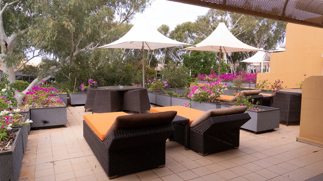
Sails in the Desert Terrace in front of the room
At the time, there were only five hotels around Uluru, all in the Ayers Rock Resort area. One more hotel reopened after 2018, making six. I stayed five nights at Sails in the Desert. It is said to be the highest-grade hotel in the area, and it was indeed very comfortable. The outline of the trip was as follows.
Day 1 (Fri)Arrive and check in at the hotel
Day 2 (Sat)Uluru
Day 3 (Sun)Kings Canyon tour
Day 4 (Mon)Kata Tjuta (Waḻpa Gorge), Uluru
Day 5 (Tue)Kata Tjuta (Valley of the Winds), Uluru
Day 6 (Wed)Travel to Melbourne
After this, I stayed three nights in Melbourne, walked around the city, and joined a Great Ocean Road tour. I ultimately returned home on Saturday, making the journey a little over one week.