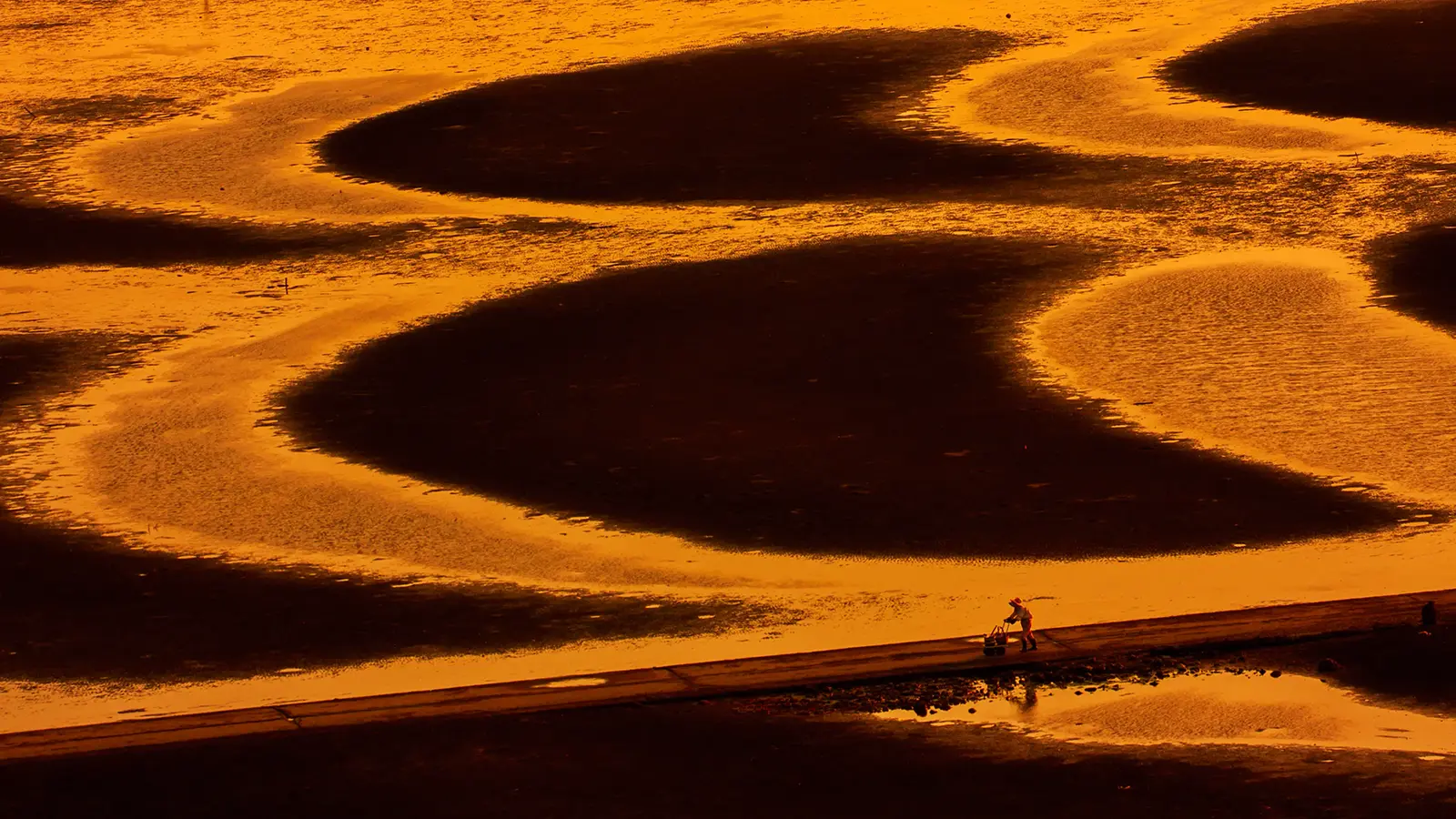
Someone returning from the shallow shore caught my eye. Perhaps she had been gathering shellfish. The sight of her pushing a handcart along a path through the orange-tinted tidal flats stirred a curious sense of nostalgia.
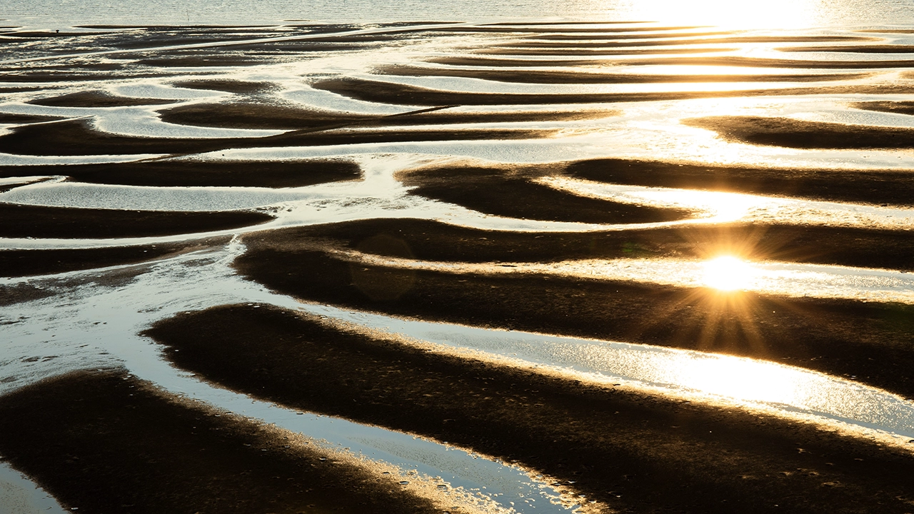
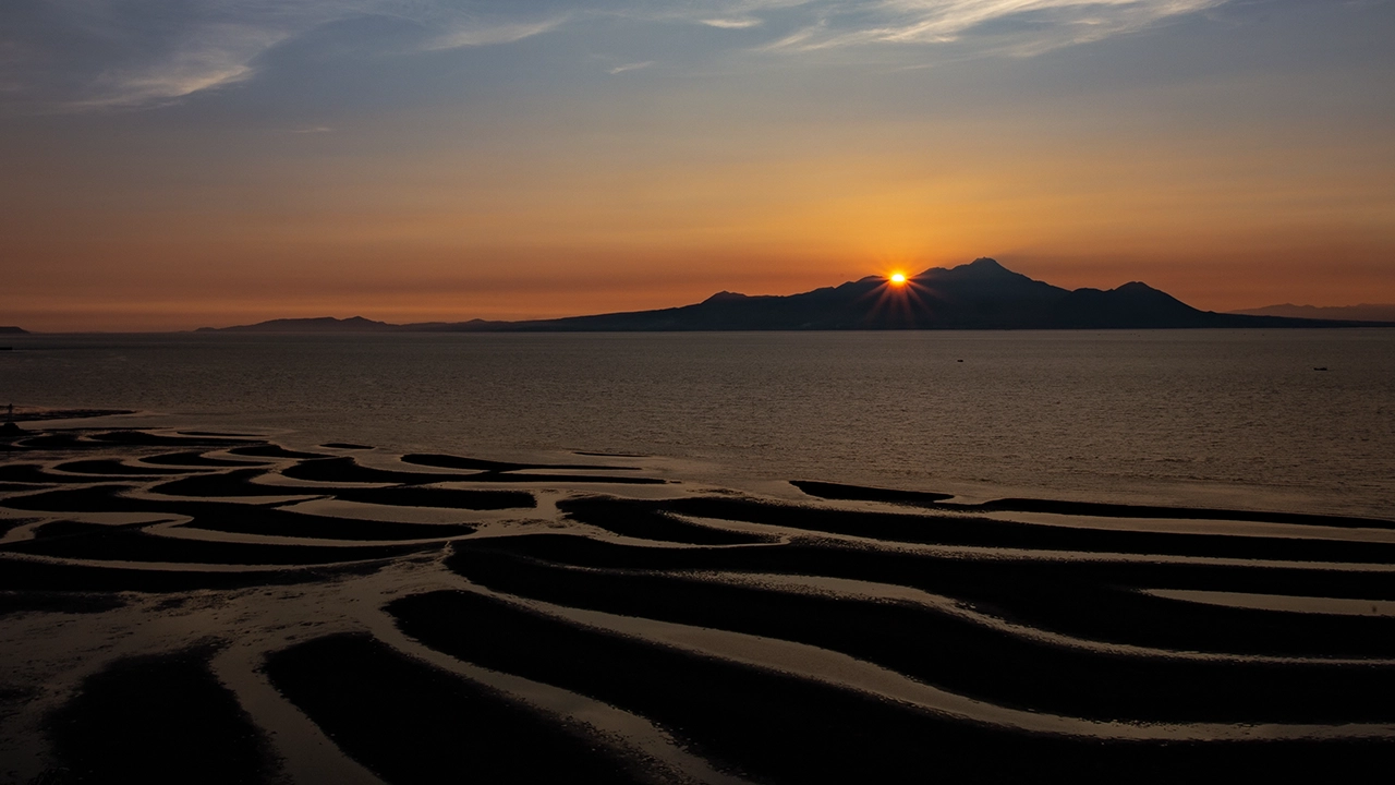
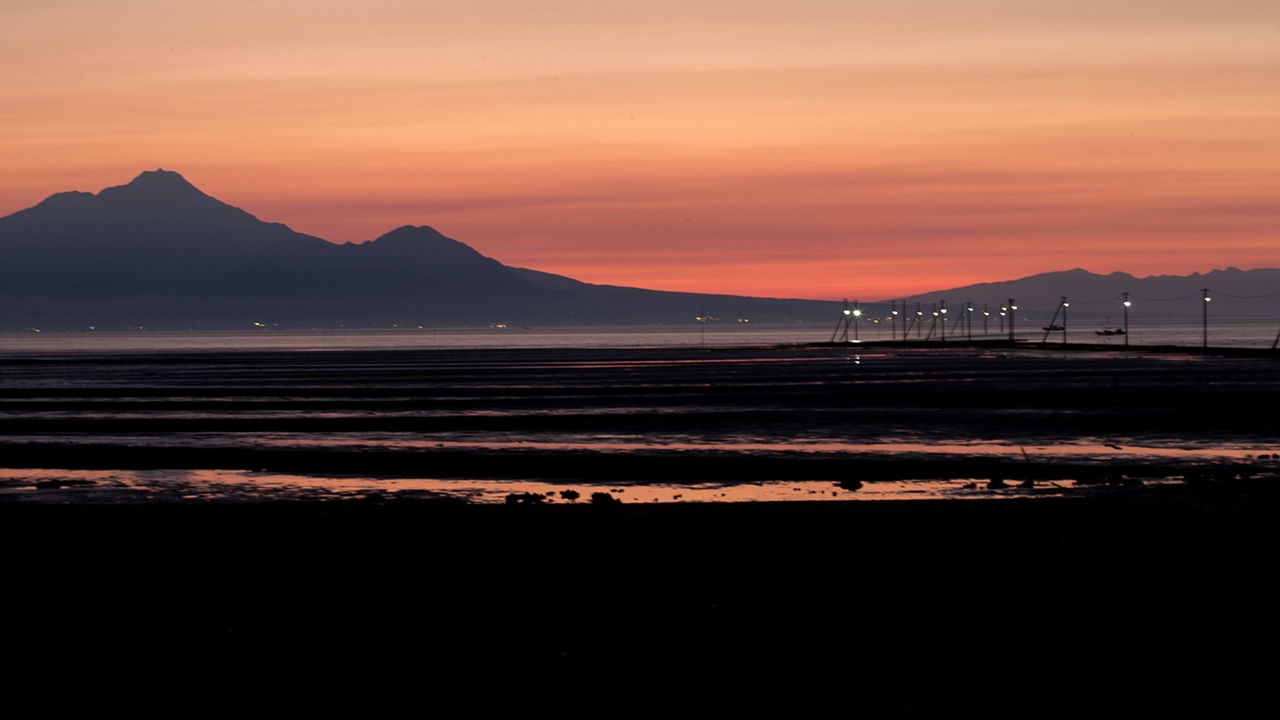
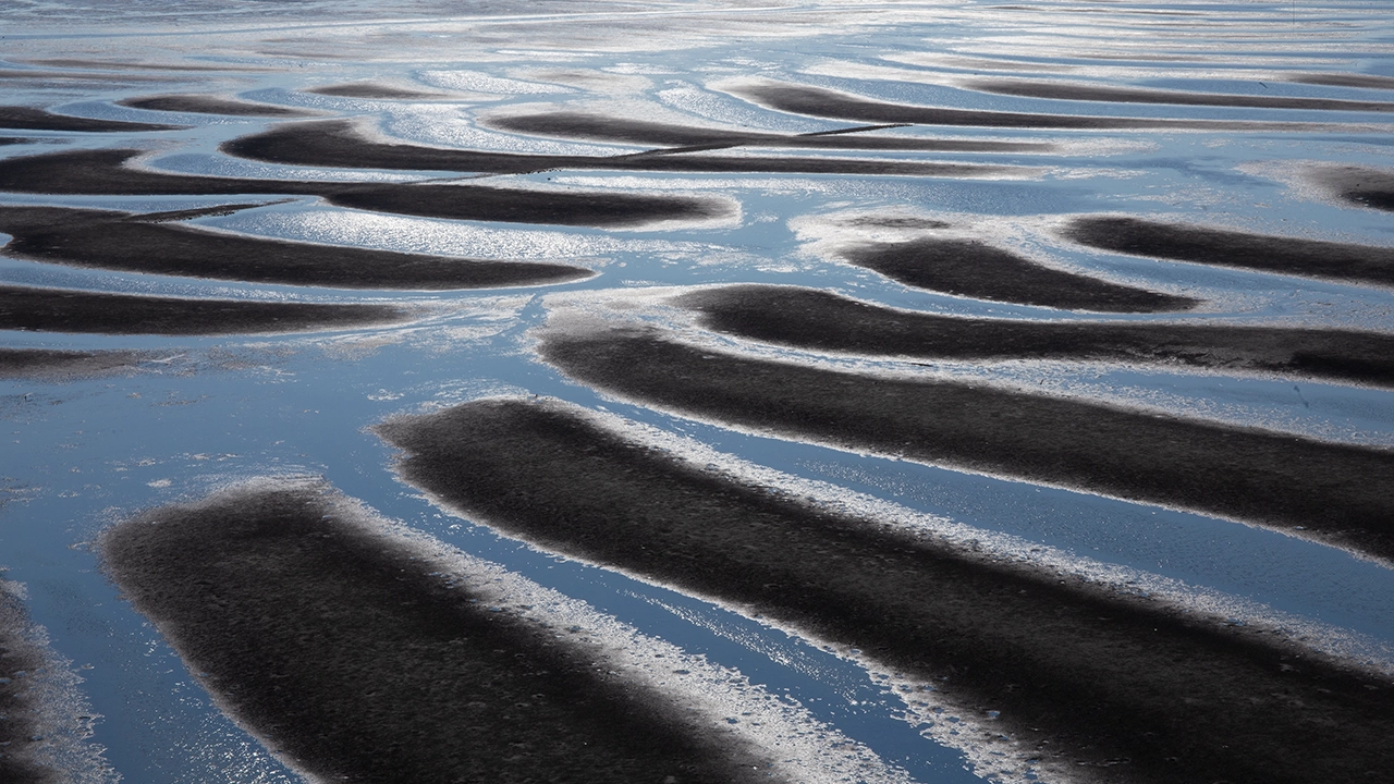
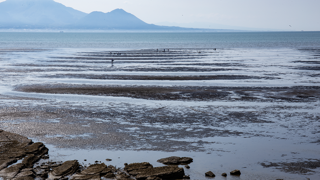
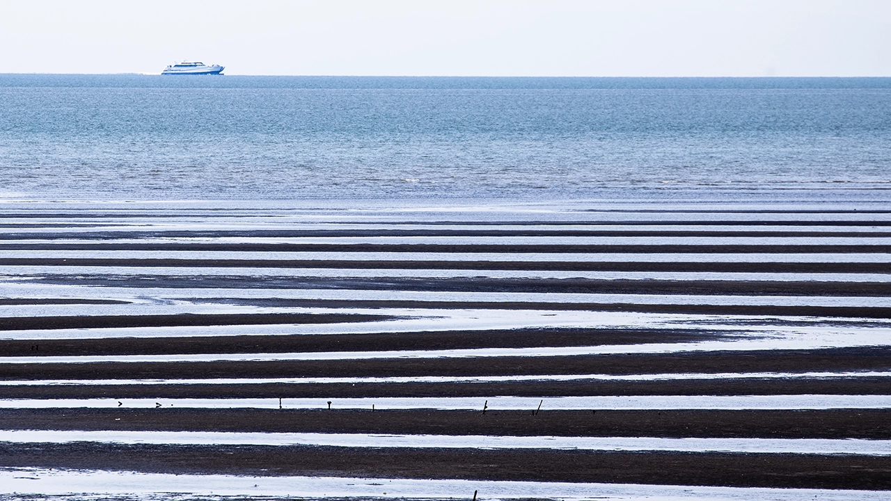
My visit to the Okoshiki Coast was on August 3, 2015. It was toward the end of a spring tide, and the sea had receded a long way. Sunset was around seven. As the sun sank lower, its light reflected in the pools left by the tide. It eventually slipped behind the Shimabara Peninsula, while the sky continued to change color. I took my time enjoying the shifting scene across the tidal flats. The fourth photograph from the top was taken after I moved about 4 km to the east.
I passed this way shortly after four that afternoon on my way back to the mainland from the Amakusa Islands. The patterns formed by the pools across the tidal flats were so beautiful that I decided to linger. A photographer friend had told me how lovely the Okoshiki Coast was, so I had intended to stop, but I had not checked the tides. I was definitely lucky.
Looking at Google Maps now, I see that the Amakusa Misumi Line runs along the coast. Photographing a train never occurred to me then, but today I would surely be tempted to include one in the landscape.
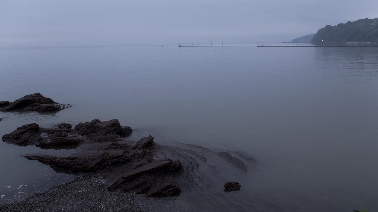
After sunset, I set off again, but about three minutes later, I found a place where it looked possible to get down to the shore. I stopped briefly and took the first photograph in the row above. The lighthouse on the eastern training wall of Oda Fishing Port is visible in it.
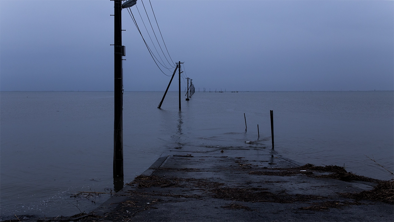
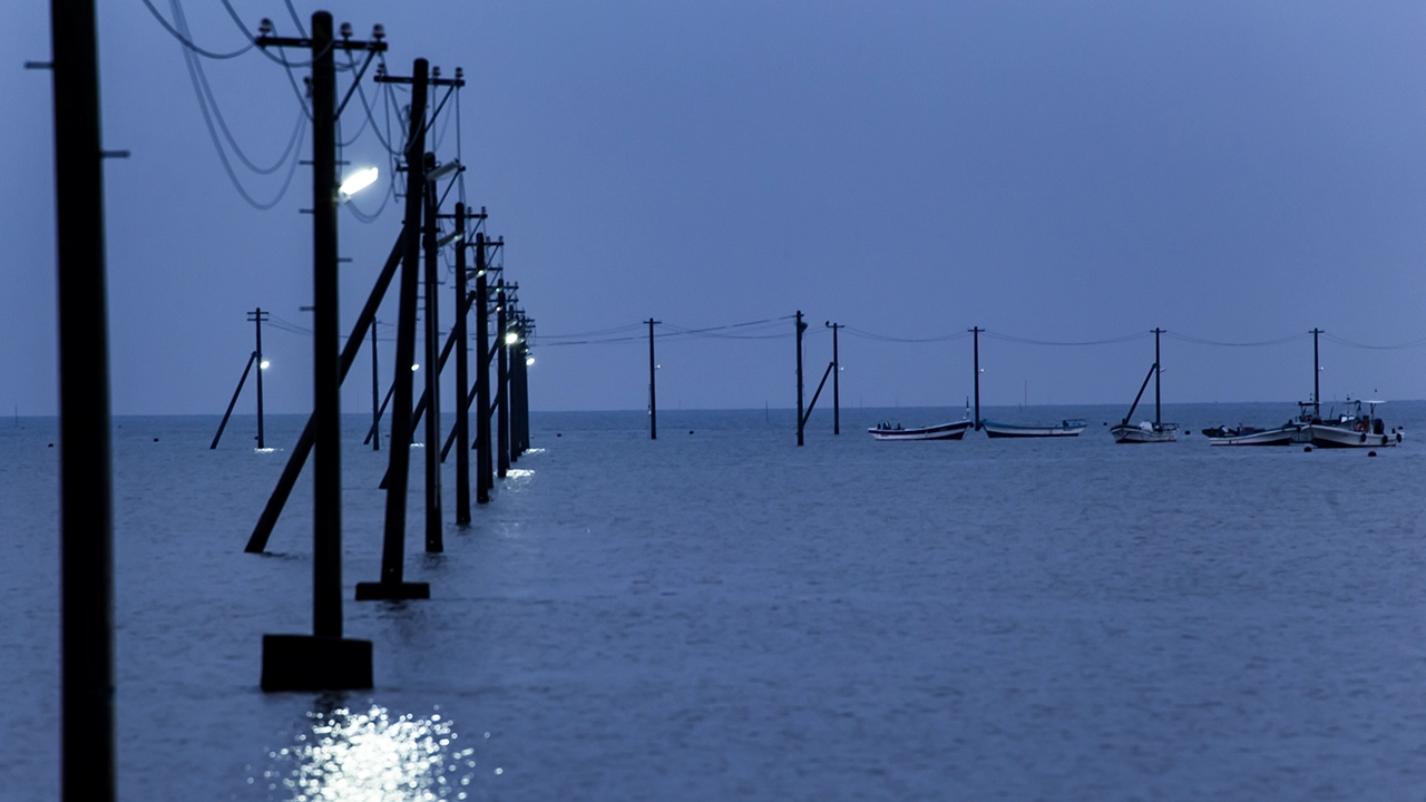
As I continued driving, I noticed another line of utility poles extending out into the sea. They also appear in the earlier photograph taken after sunset. When I looked it up, I learned that the place was called Nagabeta Kaishoro, a tidal road.
Just before Nagabeta Fishing Port, I found a narrow road leading down to the shore. Following it brought me to the water’s edge in front of the line of poles. By then the tide had risen, submerging the road out to sea and leaving only its approach visible at the shore. That had a charm of its own. Fishing boats were moored near the far end, and the lights on the poles resembled the lights used to attract fish at night. But why were these lights left on?
The place looks very different on Google Maps now. Looking into it, I found that Sumiyoshi Coastal Park had undergone improvements in the 2020s, including an expanded parking area and refurbished restrooms. It seems to have become a tourist spot where tour buses stop and visitors can take a restroom break. Everywhere seems to change.